871 N Bierdeman Road, Pearl, MS 39208
- Added:
- Jun 5, 2024
- Days on Market:
- 758
- Last Refresh:
- Jul 2 at 6:06 am
Property Features for 871 N Bierdeman Road
General Information
- Property type
- Land
- Property subtype
- Other
- Standard status
- Active
- APN
- E09f000001 00000
- Lot size
- 38.00 Acres
Taxes and HOA fees
- Tax Year
- 2024
- Tax Description
- APPROX 21.4 AC IN SW4 NE4 & 16.6 AC IN N PT NE4 SW4 & N PT NW4 SW4 & LOT 100 X 286 IN SW4 NE4
- Tax Annual Amount
- 80
Utilities
- Utilities
- Cable Available
- Sewer type
- Public Sewer
- Water source
- Public

Listing agent Shannon Ellis License #S41519 (601) 573-6675
Listing office Havard Real Estate Group, LLC 210 Park Place Cove, Pearl, MS (601) 340-9656
Listing date Jun 5, 2024
Copyright © 2026 MLS United. All rights reserved. All information provided by the listing agent/broker is deemed reliable but is not guaranteed and should be independently verified.
HighLights
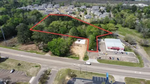
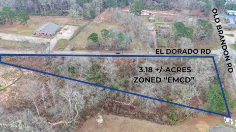
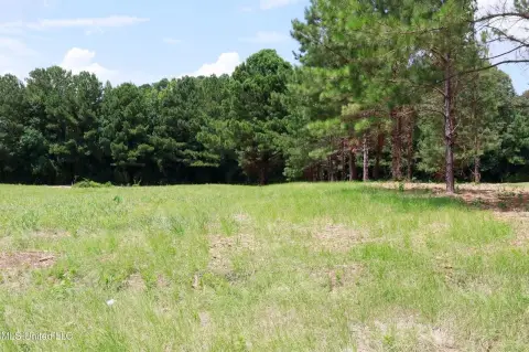
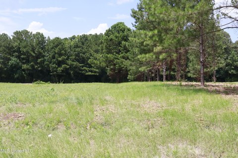
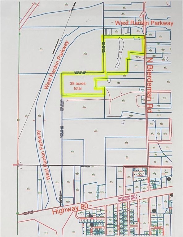
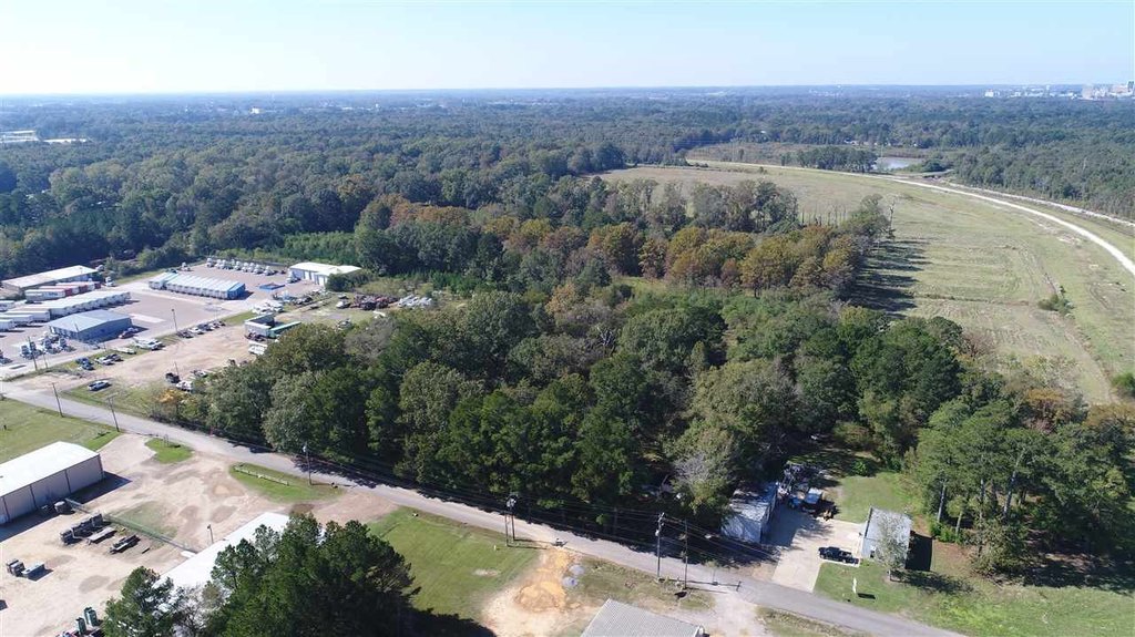
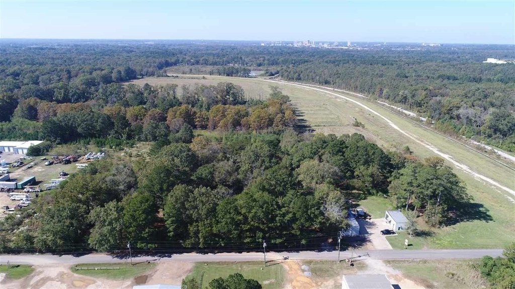
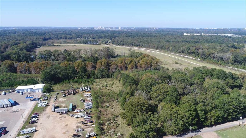
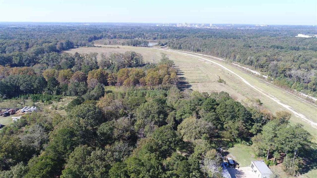
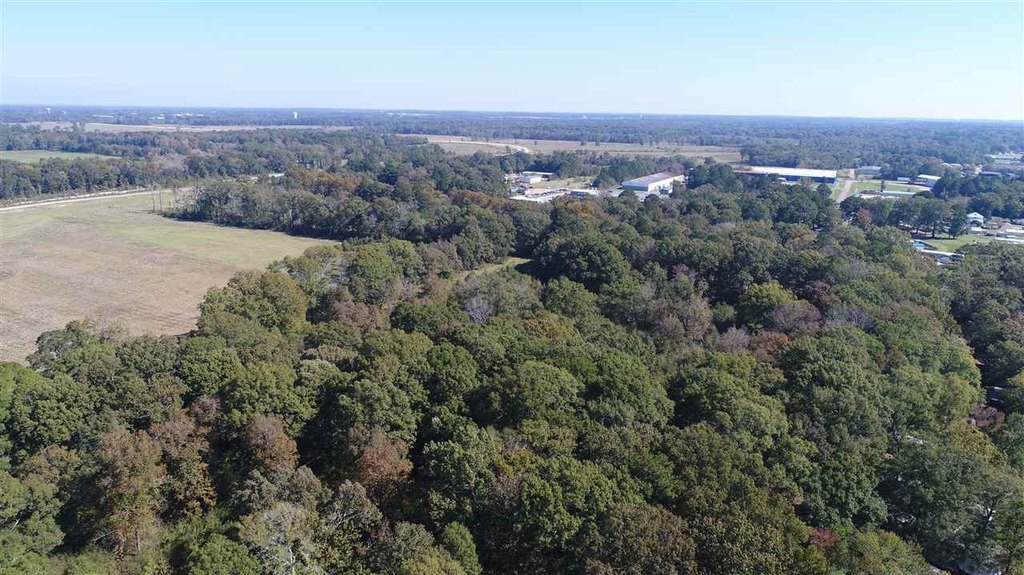
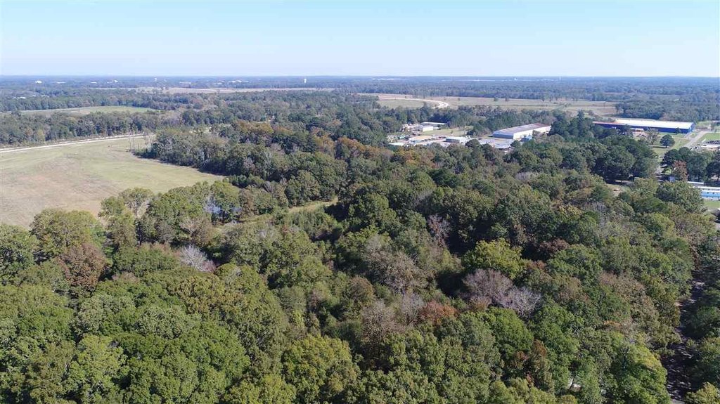
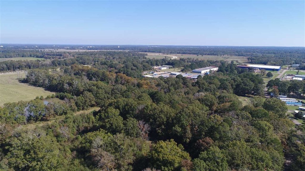
- 38+ acres of commercial land zoned I‑1
- Located just over 100 ft from West Rankin Parkway, connecting Pearl and Flowood
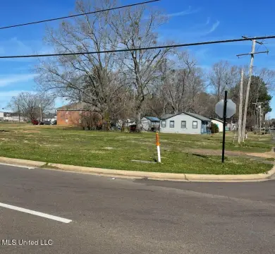
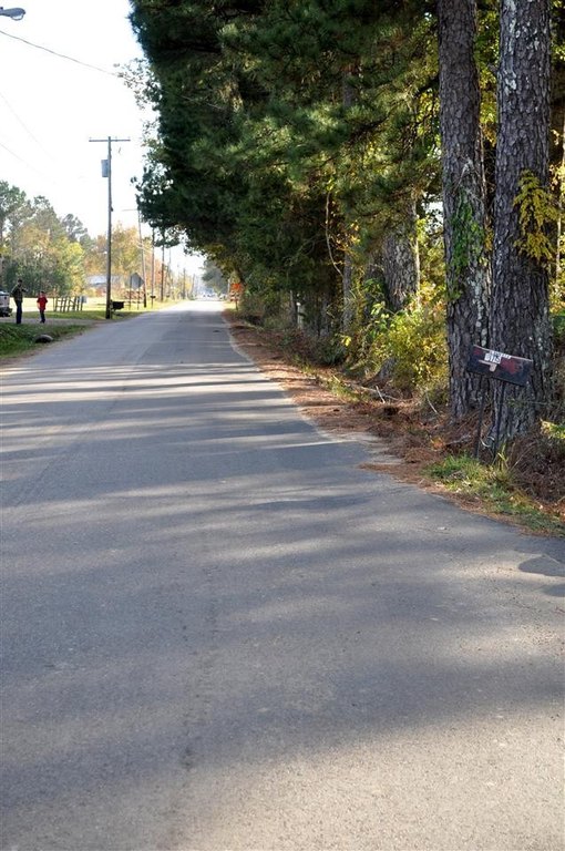
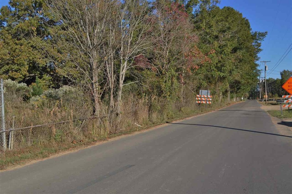
- Approximately 520 ft of frontage on N Bierdeman Road
- Land uses permitted in C‑2 and C‑3 are acceptable per City of Pearl Community Development
- Public water and public sewer available
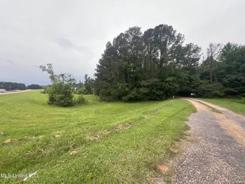
- Cable available and most of the property is fenced with chain link, barb wire and/or cattle wire
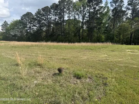
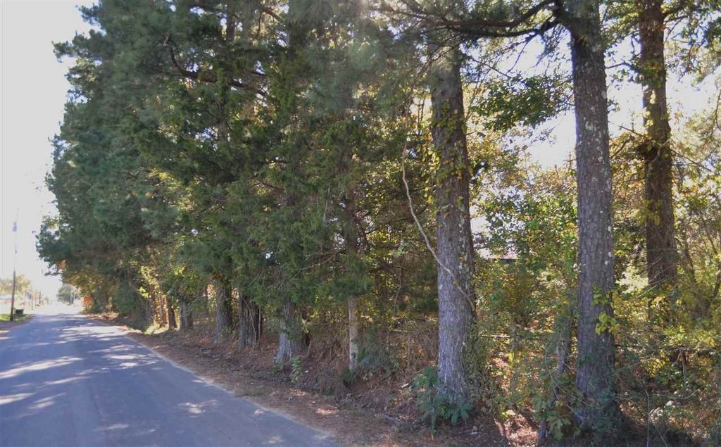
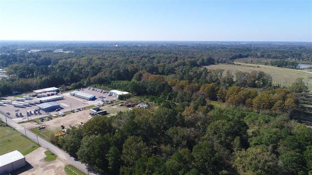
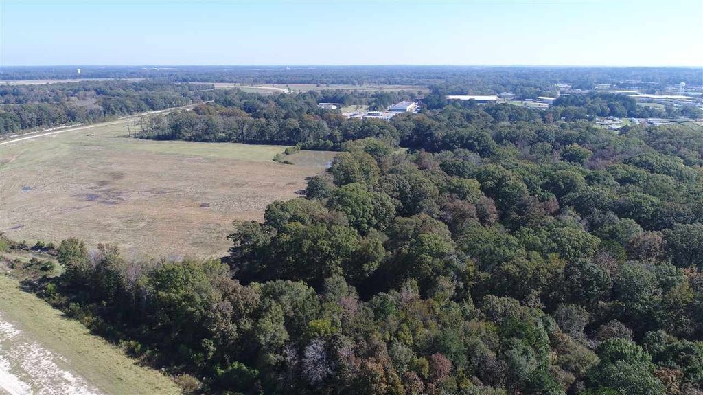
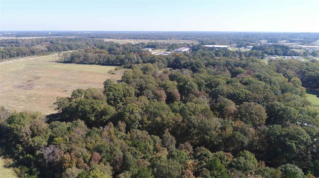
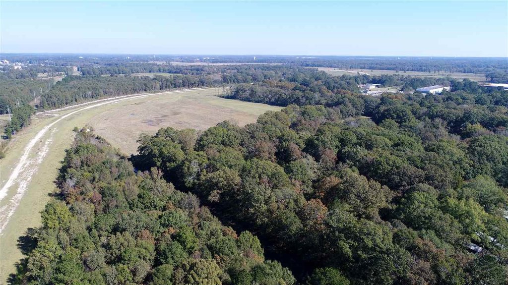
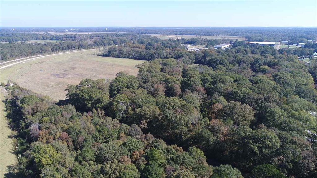
Overview
The site is positioned near West Rankin Parkway, described as just over a hundred feet away from the new parkway from either side. The West Rankin Parkway is noted as connecting Pearl and Flowood at Pearson Rd and Treetops Blvd. The listing indicates the property is in Pearl, MS, in Rankin County.
For industrial and related operators, this configuration supports projects that align with I-1 zoning and, per the listing, land uses permitted in C-2 and C-3 are also acceptable. The combination of frontage and controlled access fencing may be beneficial for tenants looking to stage equipment or operate in a perimeter-controlled environment. Interested parties should confirm site conditions and applicable zoning/permitted uses with the City of Pearl Community Development prior to planning.
Current Use by Public Records
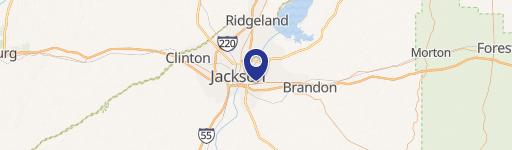
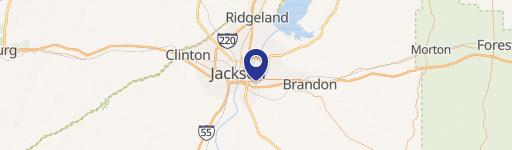
Location Insight
- Map
- Local Demand
- City
- Pearl
- County
- Rankin
- State
- Mississippi
- Longitude
- -90.131187
- Latitude
- 32.292248