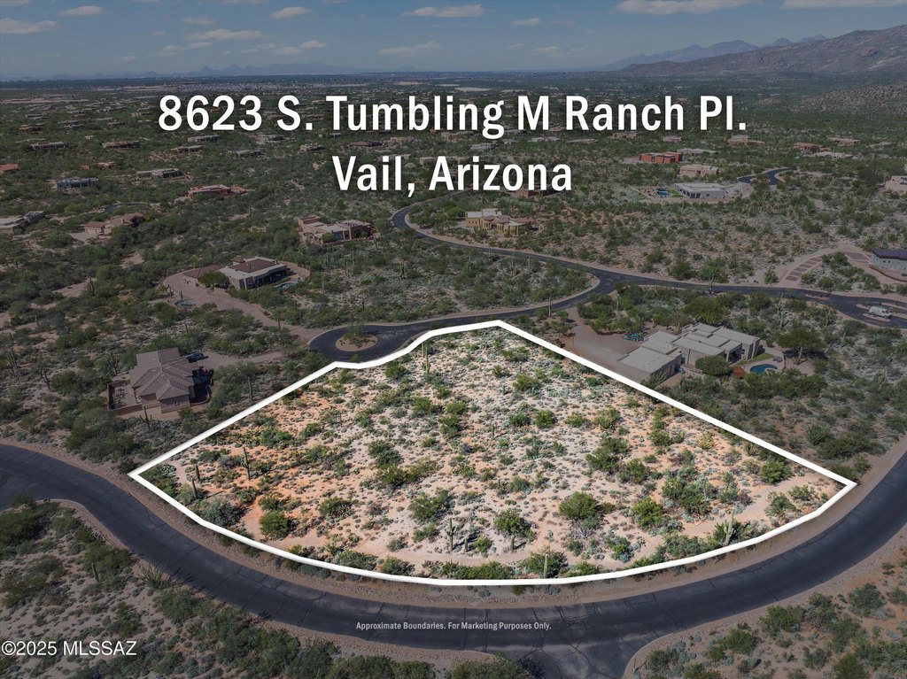
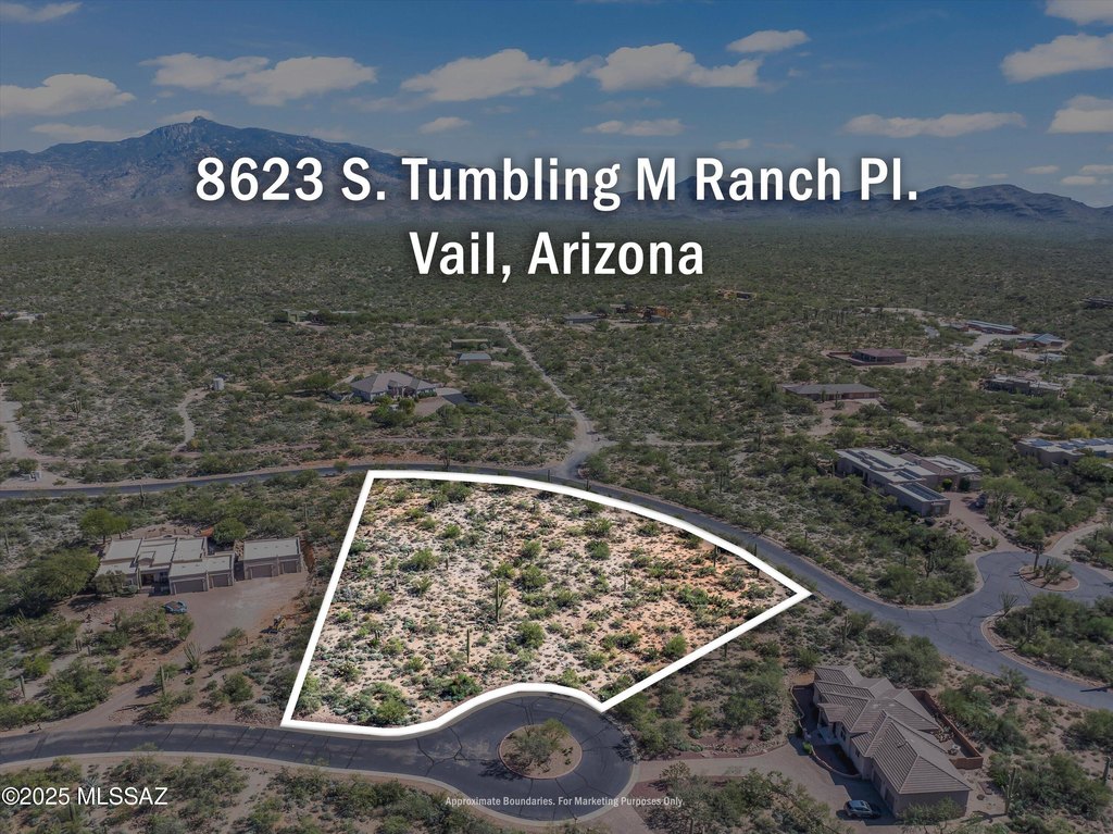
8623 S Tumbling M Ranch Place, Vail, AZ 85641

- Added:
- Nov 3, 2025
- Days on Market:
- 240
- Last Refresh:
- Jul 1 at 10:06 am
Property Features for 8623 S Tumbling M Ranch Place
General Information
- Property type
- Land
- Property subtype
- Other
- Zoning
- Vail - SR2
- Standard status
- Active Under Contract
- APN
- 205-75-1560
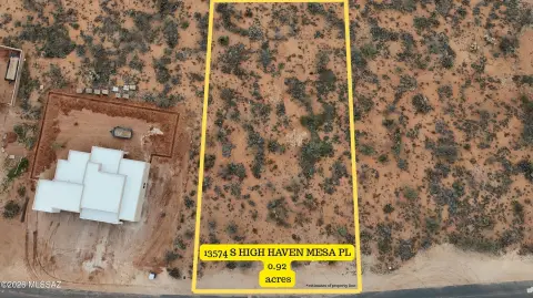
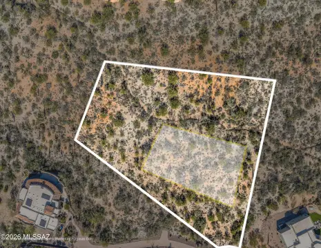
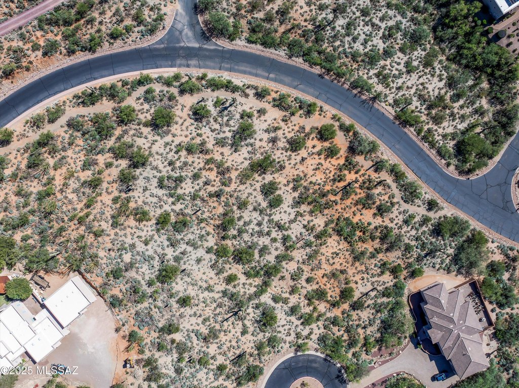
- Lot size
- 1.80 Acres
Taxes and HOA fees
- Tax Year
- 2025
- Tax Description
- From Parcel:20564128A /Coyote Creek Lot 0112
- Tax Annual Amount
- 2205

Listing agent Debbie G Backus (520) 403-2574
Listing office Backus Realty and Development 14901 E Old Spanish Trail, Vail, AZ (520) 647-0030
Listing date Nov 3, 2025
Copyright © 2026 Multiple Listing Service of Southern Arizona. All rights reserved. All information provided by the listing agent/broker is deemed reliable but is not guaranteed and should be independently verified.
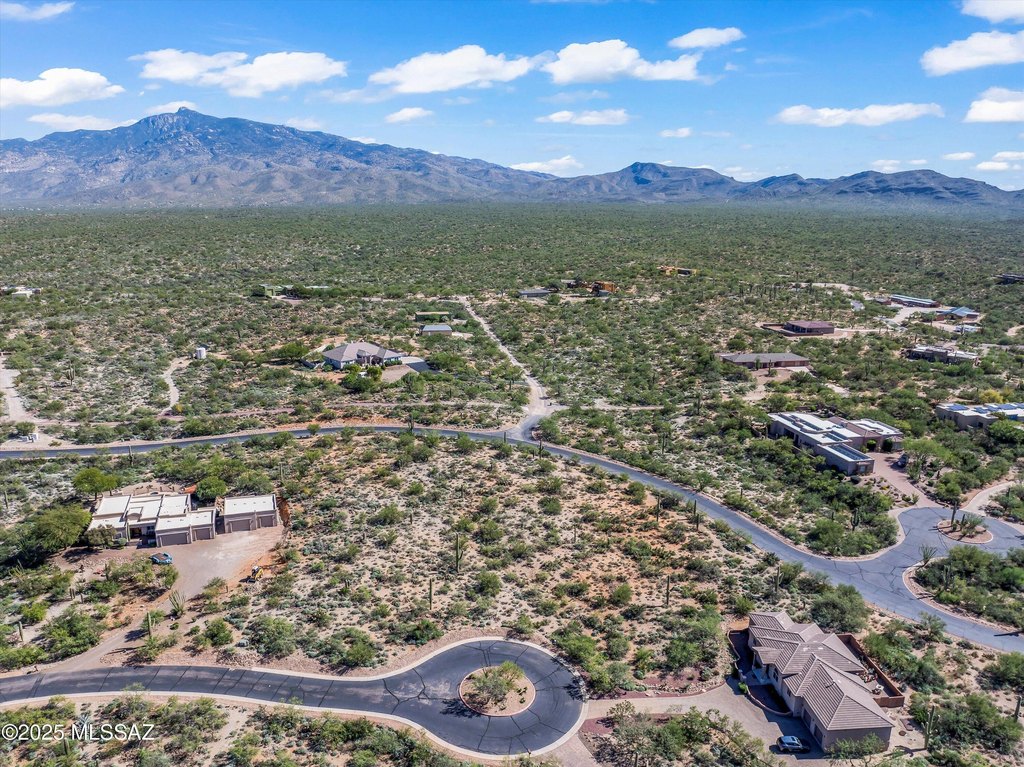
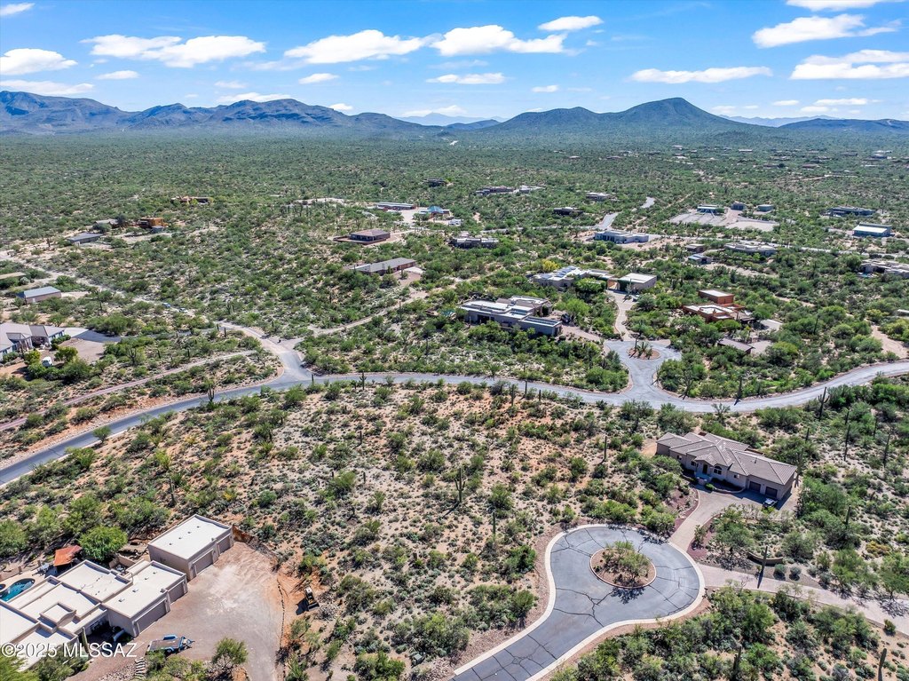
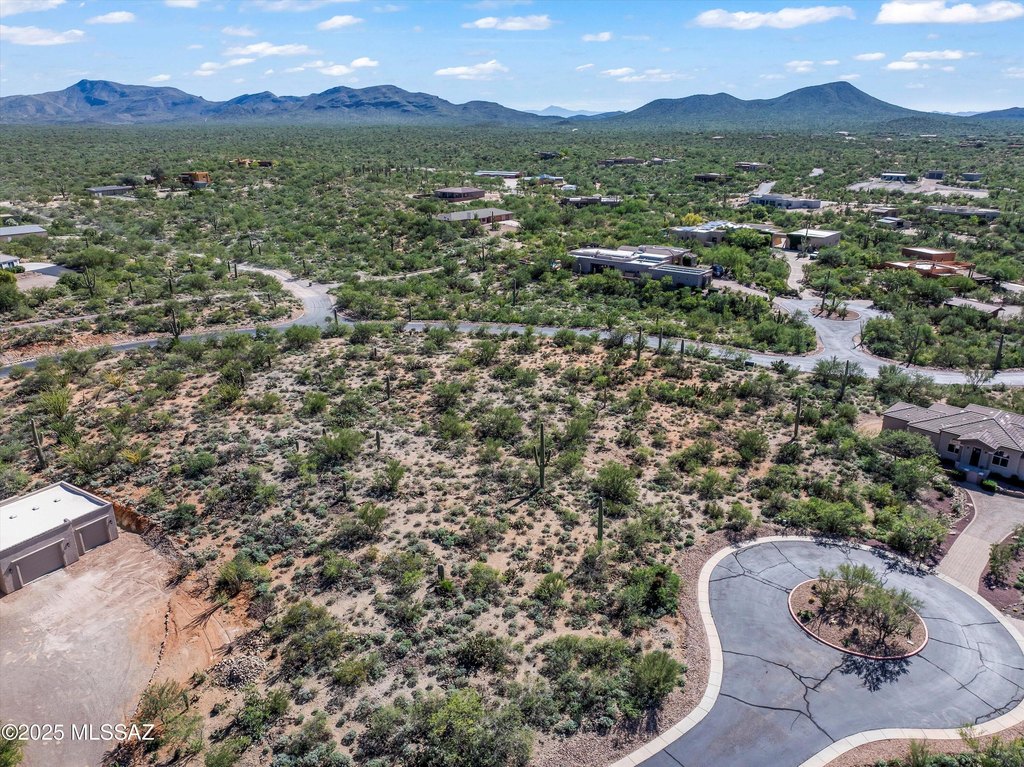
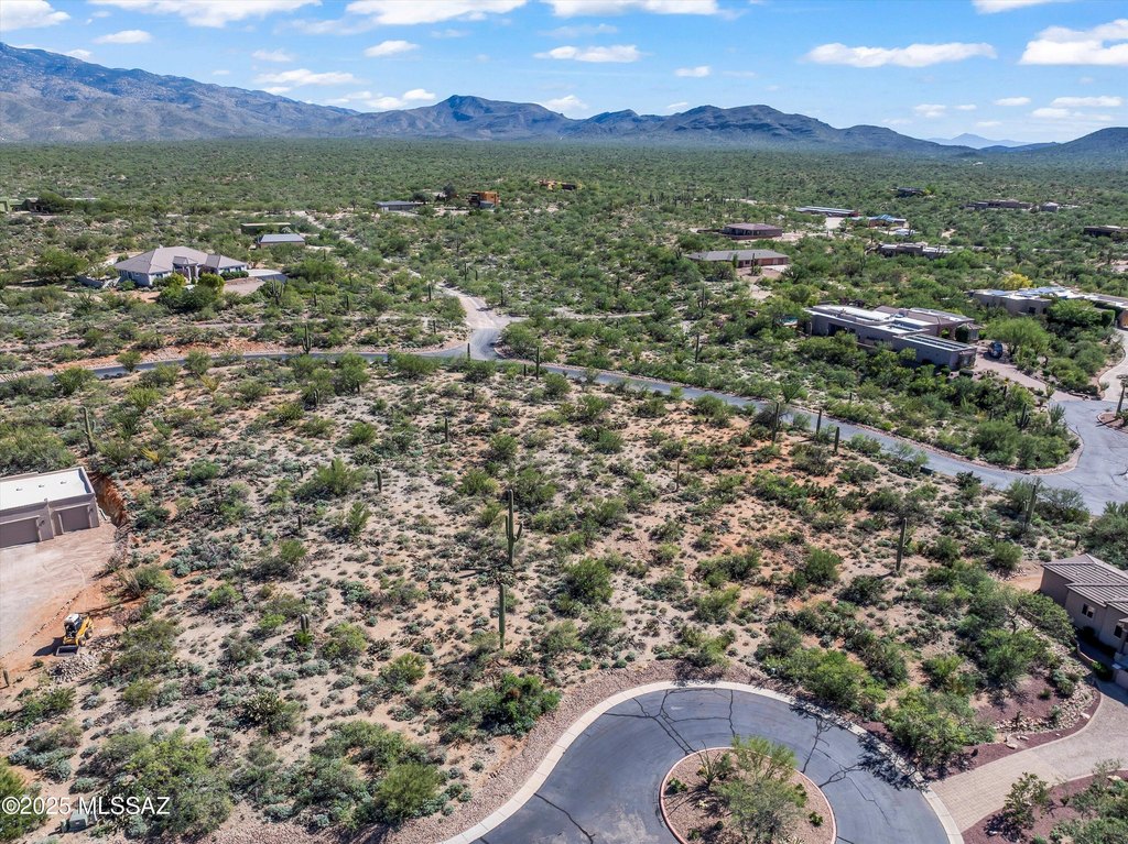
HighLights
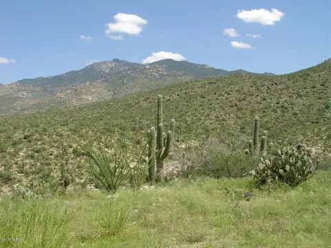
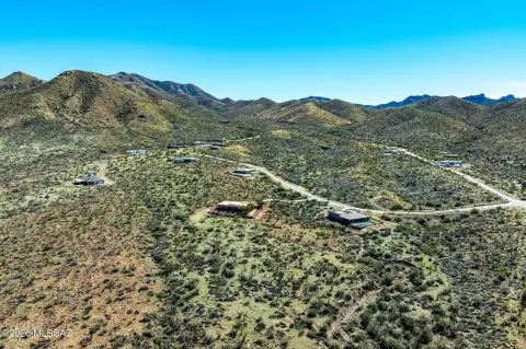
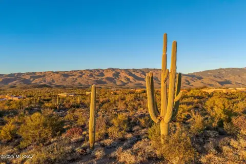
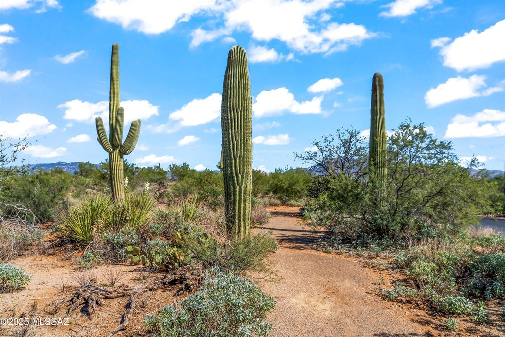
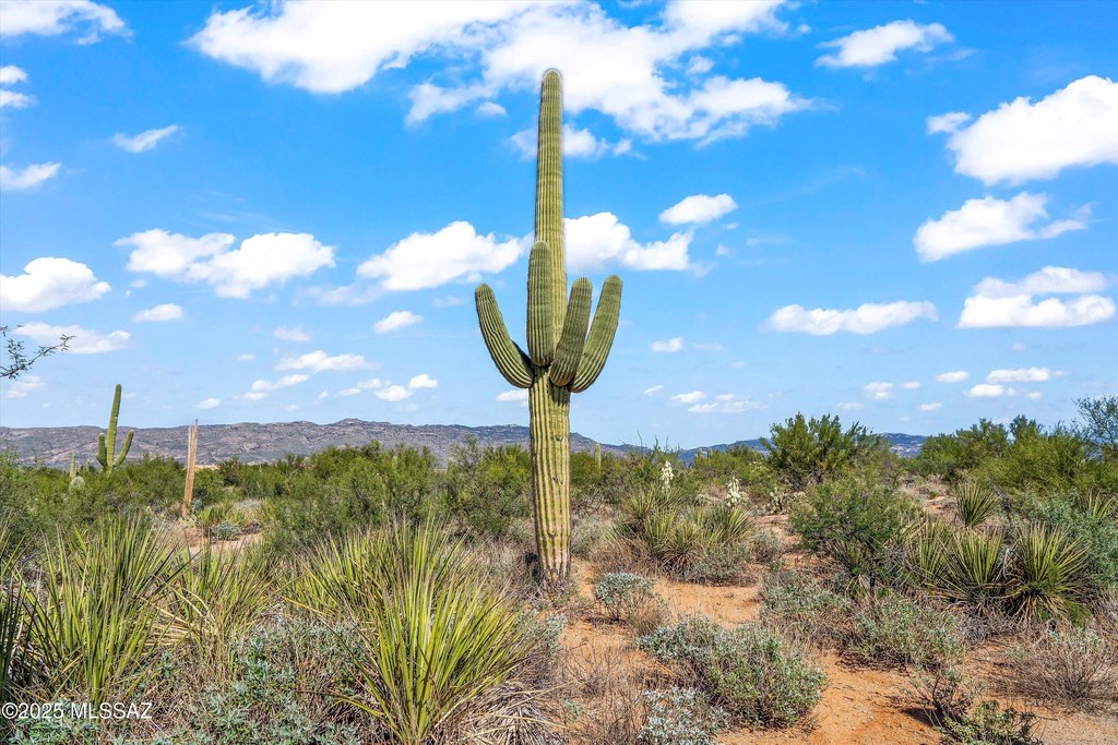
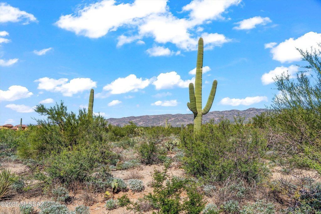
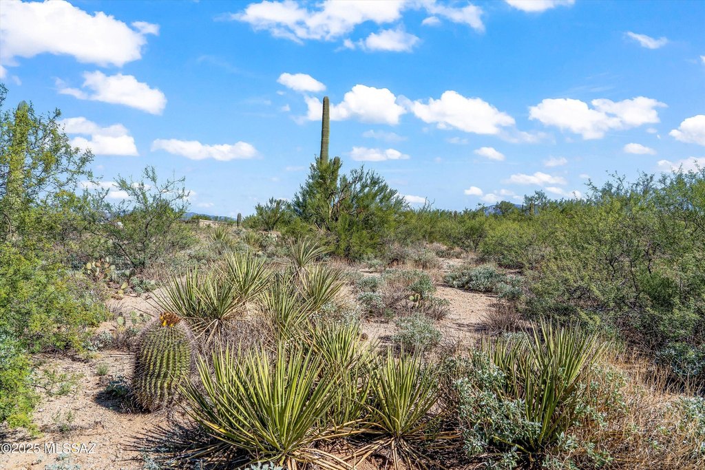
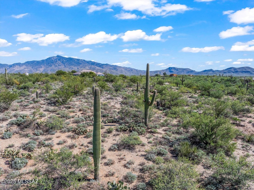
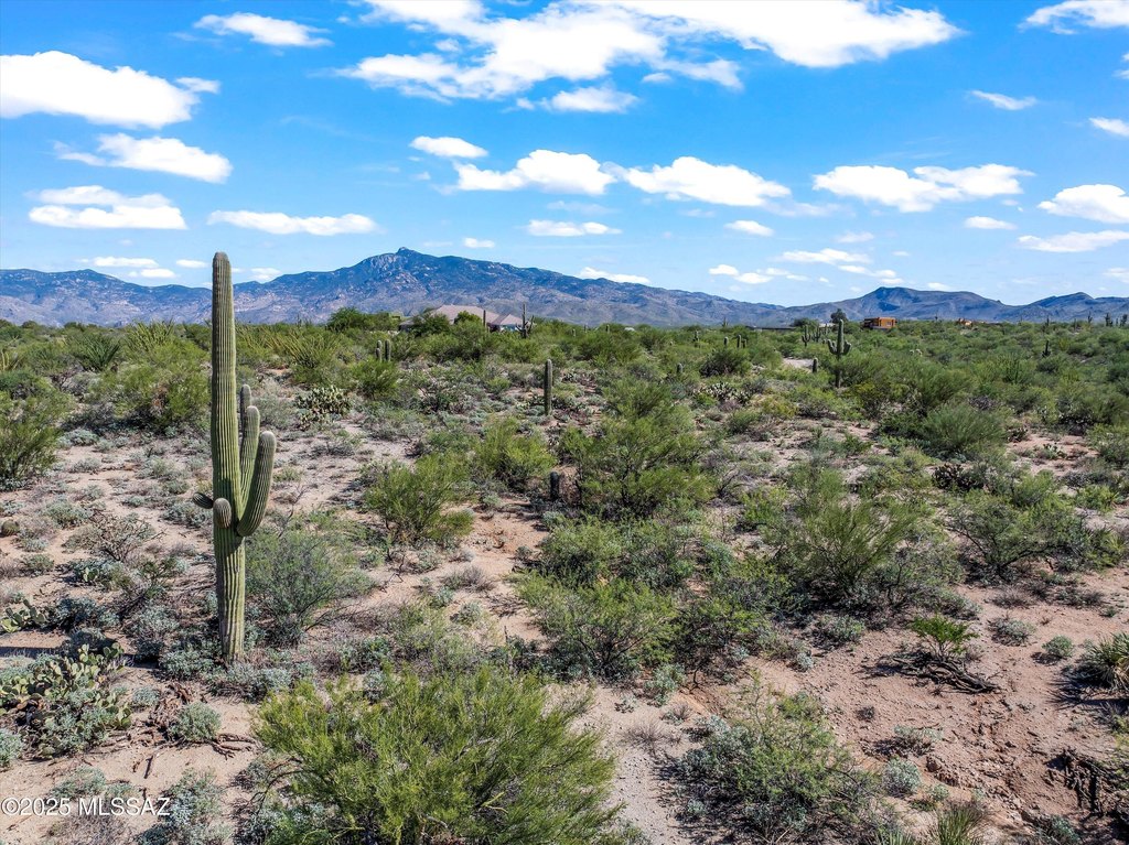
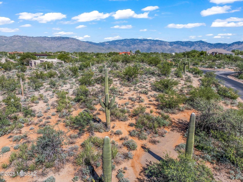
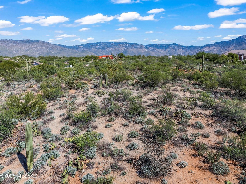
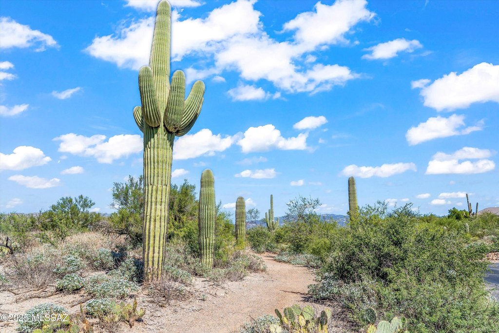
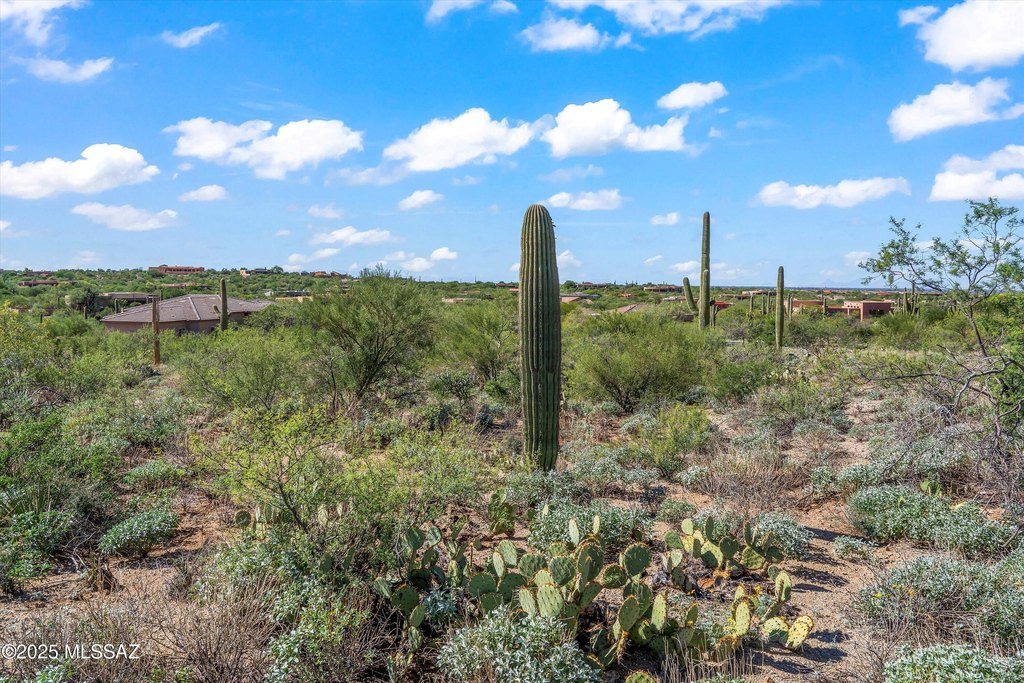
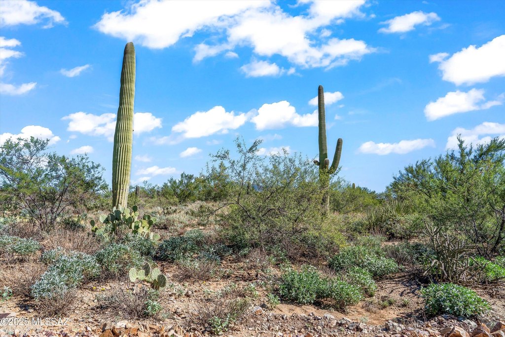
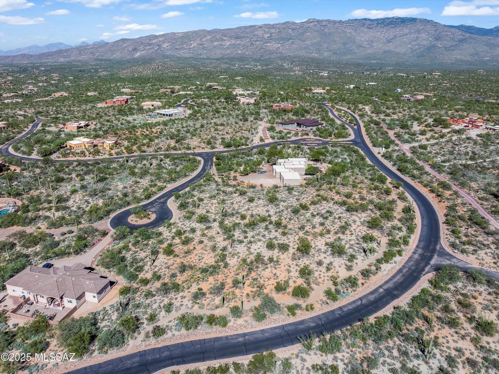
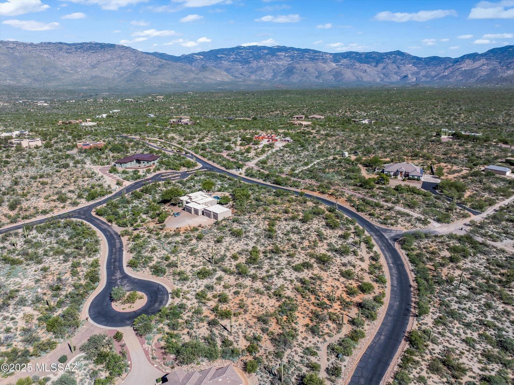
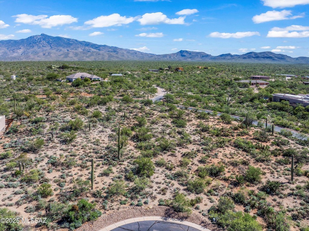
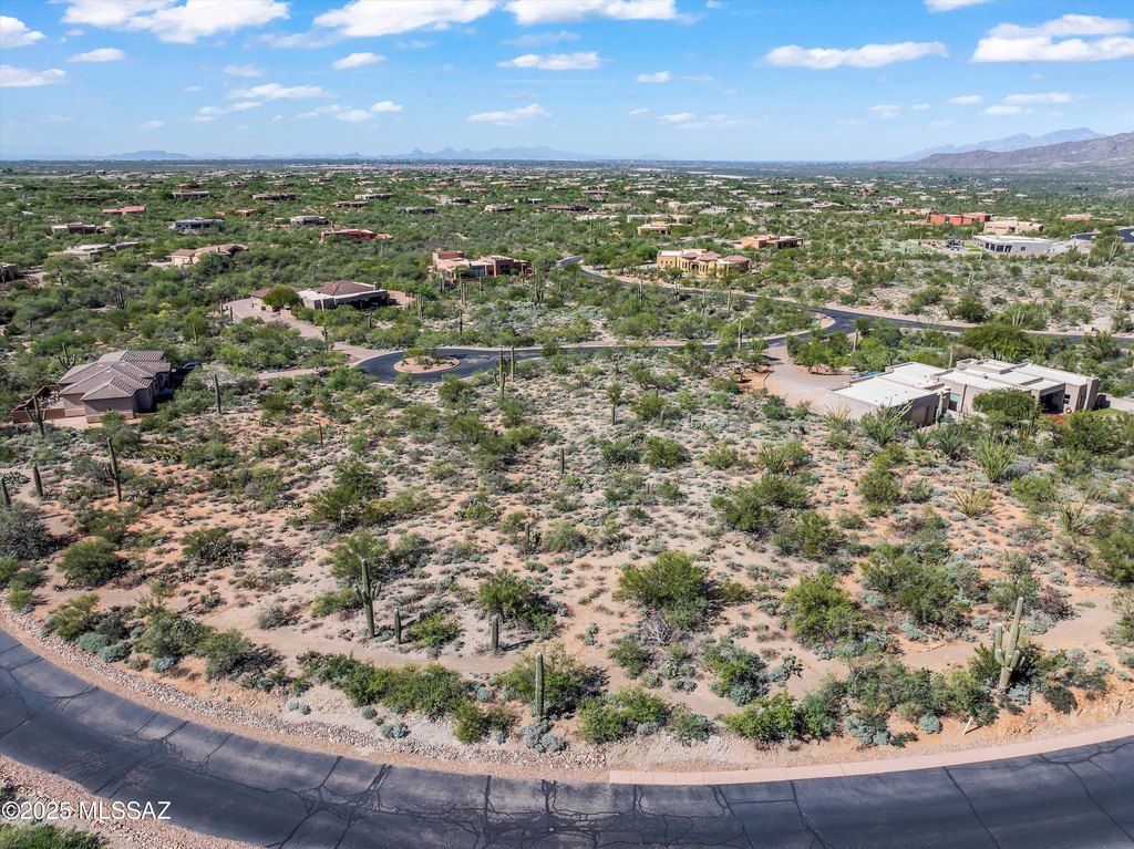
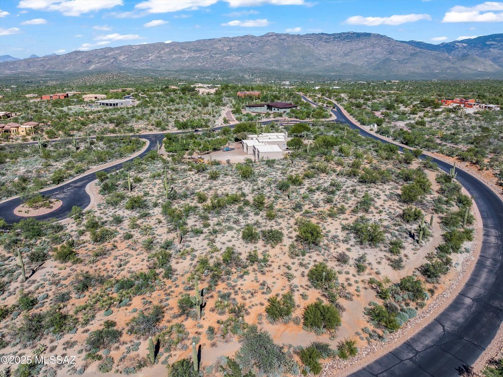
- Unobstructed views of Rincon Peak and surrounding desert landscape.
- Located directly across from a Natural Open Space Park, ensuring no future development.
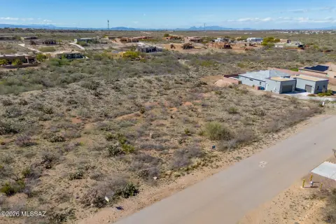
- Situated in the gated community of Coyote Creek on a quiet, private cul‑de‑sac.
- Generous 17,100 sq. ft. building envelope for designing a custom home.
- Access to miles of hiking, biking, and equestrian trails.
- Access to a recreation and equestrian center.
Overview
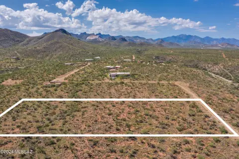
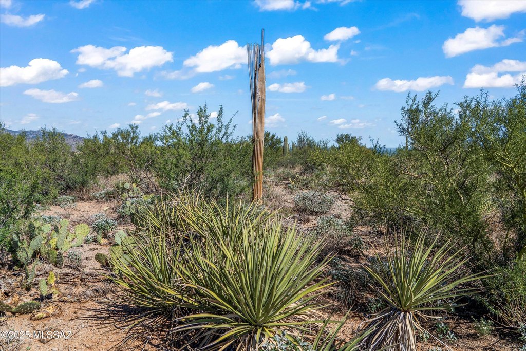
The community of Coyote Creek is described as offering extensive outdoor recreation, including miles of hiking, biking, and equestrian trails, along with a recreation and equestrian center. The property’s placement within this gated community supports a private residential atmosphere. Lot size is listed at 1.8 acres.
For buyers looking to build, this lot’s larger building envelope and view protection from the adjacent open-space park across the driveway can be meaningful planning factors. The cul-de-sac positioning and gated context may appeal to those who prioritize privacy while designing a custom residence within the stated envelope. Prospective buyers should review the development envelope and any applicable restrictions tied to the Vail SR2 zoning designation before proceeding with architectural and permitting plans.
Current Use by Public Records
Map
- City
- Vail
- County
- Pima
- State
- Arizona
- Longitude
- -110.662607
- Latitude
- 32.094875