Patented Mining Claim
For Sale
$4,500,000
750 Summit Plat Road, Idaho City, ID 83607
Land, Idaho City, ID
Property SizeContact for details
Lot Size145.54 Acres
Days on Market232
Property Features for 750 Summit Plat Road
General Information
Property type
Land
Property subtype
Other
High school district
000000
Directions
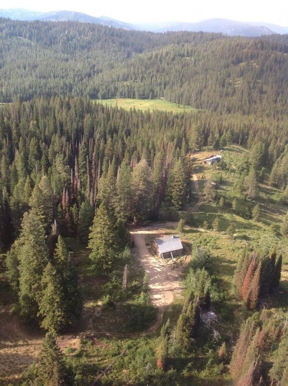
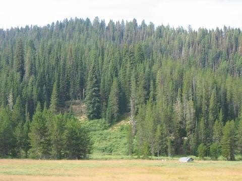
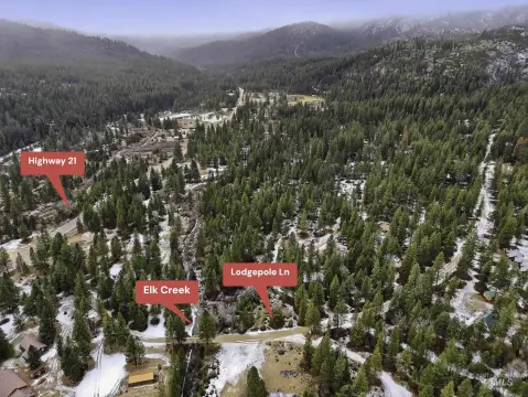
Summit Flat Road is approximately 19 miles on ID 21 traveling north from Idaho City. Make a Left turn onto Summit Flat Road from ID 21. The Mammoth Mine property is approximately 6 miles from ID 21. Or, also from Idaho City and less mountainous, take Centreville Road north, at Grimes Creek Road turn right. Follow Grimes Creek Road to Summit Flat Road turn right and follow Summit Creek Road until you reach the Mammoth Mine meadow on the right continue to the entrance and bridge over Grimes Creek.
Standard status
Active
APN
P08N06E260034 and RP08N06E26E250045
Lot size
145.54 Acres
Listing Agency:
National Land Realty, Boise, ID
(855) 384-5263
Listed By:
Todd Walter
(803) 422-7646
Added: Feb 17
Changed: Aug 20
Last Checked: Oct 7 at 10:06AM
MLS# 11323538
Copyright © 2026 My State MLS. All rights reserved. All information provided by the listing agent/broker is deemed reliable but is not guaranteed and should be independently verified.
Investment Insights
Based on property information with market context.
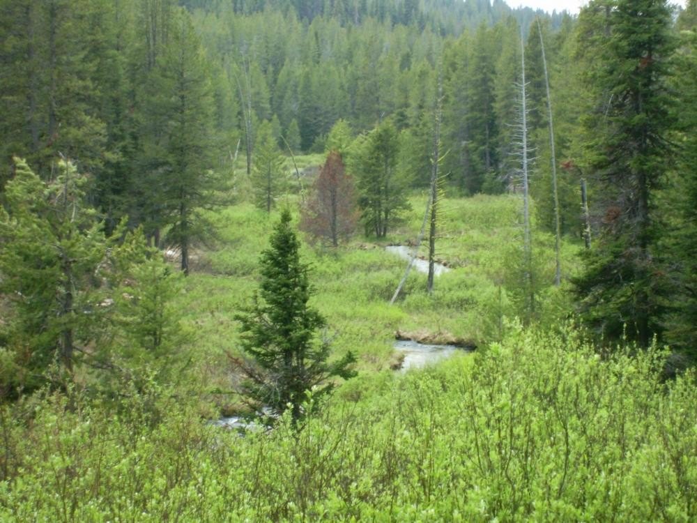
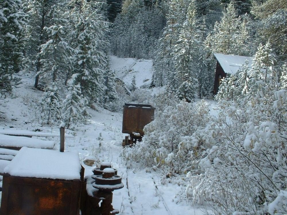
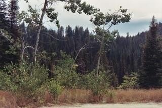
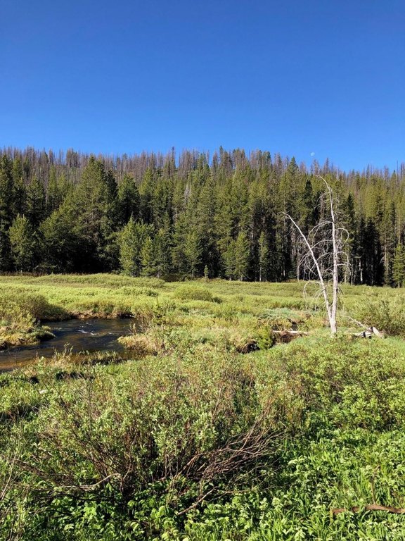
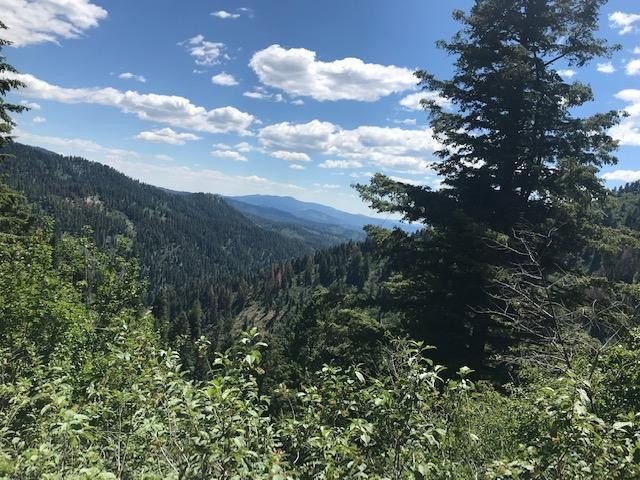
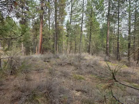
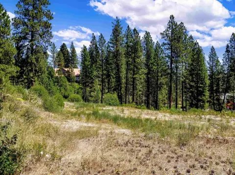
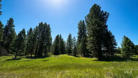
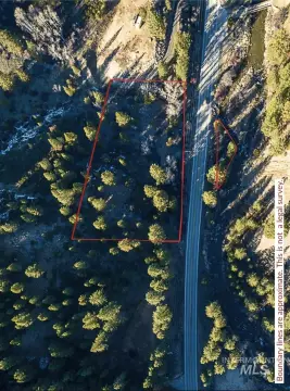
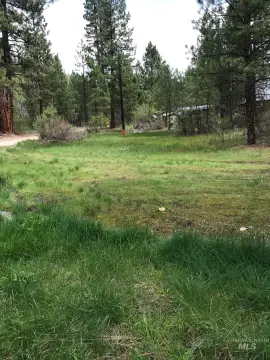
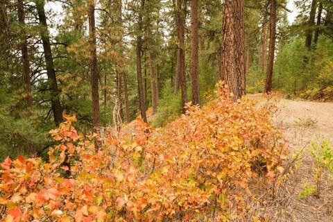
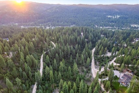
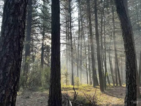
This 145.54-acre mining land property includes a patented mining claim covering approximately 140 acres and a patented mill site. A year-round creek crosses a large meadow, while most of the parcel sits at approximately 7,000 feet above sea level in an alpine setting. The Mammoth Mine was once active on the property, with operations suspended in the 1930s due to gold ownership restrictions.
BLM land surrounds the privately held parcel on all sides, providing access to thousands of adjoining acres for hunting. Groomed snowmobile trails are located nearby, and wildlife passes through the area. The property is reached from ID 21, approximately six miles to the south.
BLM land surrounds the privately held parcel on all sides, providing access to thousands of adjoining acres for hunting. Groomed snowmobile trails are located nearby, and wildlife passes through the area. The property is reached from ID 21, approximately six miles to the south.
Key Highlights
- 145.54‑acre privately held parcel surrounded by BLM land
- Patented mining claim covers approximately 140 acres
- Patented mill site included on the property
Property Analytics
Current Use
Lease Details
Yes
Paved road access
Location Intelligence
Trade Area within ½ mile
1
Businesses Nearby
Explore this area
Business Placement
Demographics for 83607, ID
36,024
Population
11,858
Households
3
Avg Household Size
35
Median Age
23%
College-Educated
87%
High-School Grad
230.0 sq mi
ZIP Area
157
Density / Sq Mi
$80,170
Median Household Income
$40,259
Median Earnings
$1,404
Median Rent
$385,100
Median Home Value
Market
Vacancy Rate% for Industrial in West region

Questions? Ask Rey
Realmo’s AI knows this listing — price, zoning, demand, history. Ask anything.


Frequently Asked Questions
What type of property is this?
Mining land & claim - Alpine acreage includes a patented mill site, year-round creek, meadow, and access to adjoining BLM land.
Where is this mining land & claim located?
The property is located at 750 Summit Plat Road Idaho City, ID.
What is the asking price?
The asking price for this property is $4,500,000.
What are key features of this property?
This property features: 145.54‑acre privately held parcel surrounded by BLM land; Patented mining claim covers approximately 140 acres; Patented mill site included on the property


