Industrial Land with Airport
For Sale
$4,250,000
6935 N Fm 1417, Denison, TX 75020
Land, Denison, TX
Property SizeContact for details
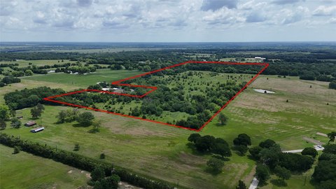
Lot Size75.92 Acres
Days on Market133
Property Features for 6935 N Fm 1417
General Information
Property type
Land
Property subtype
Other
Zoning description
In ETJ not zoned
Vegetation
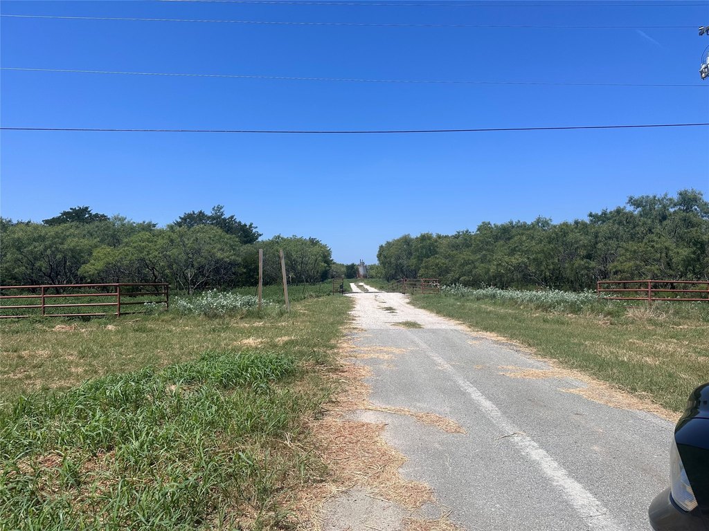
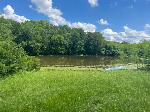
Brush, Wooded
Subdivision
N Cooke Surv Abs #278
Lot features
Acreage
Elementary school
Pottsboro
Middle school
Pottsboro
High school
Pottsboro
Elementary school district
Pottsboro ISD
Middle school district
Pottsboro ISD
High school district
Pottsboro ISD
Directions
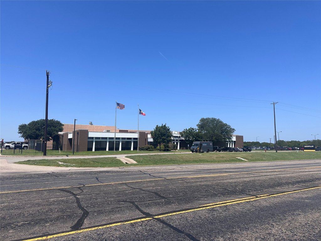
Take Hwy 82 go north on FM 1417 for about 1 mile and property is on the left just South of the Caterpillar Global Mining complex.
Standard status
Active
APN
113730
Lot size
75.92 Acres
Taxes and HOA fees
Tax Description
G-0278 COOK N F A-G0278, ACRES 80.0
Tax Annual Amount
42
Legal Description
G-0278 COOK N F A-G0278, ACRES 80.0
Utilities
Water source
Public
Listing Agency:
Keller Williams Frisco Stars · Keller Williams Realty
(972) 712-9898
Listed By:
John Sheets · License #0361749
(469) 797-4003
Added: Jun 7
Changed: Sep 14
Last Checked: Oct 17 at 10:06AM
MLS# 20698989
Copyright © 2026 North Texas Real Estate Information Systems, Inc. All rights reserved. All information provided by the listing agent/broker is deemed reliable but is not guaranteed and should be independently verified.

Ask AI about this property
Review the available facts, identify missing information and prepare questions for the agent.
Investment Insights
Based on property information with market context.
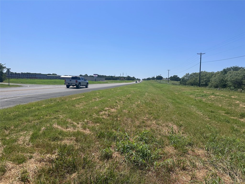
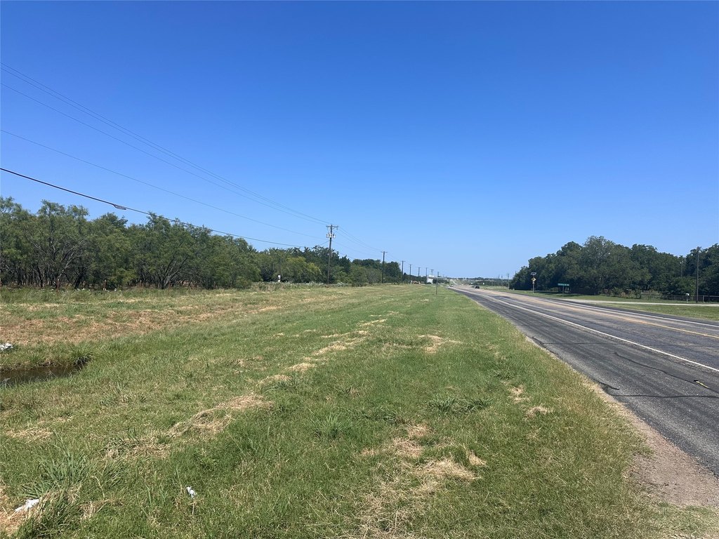
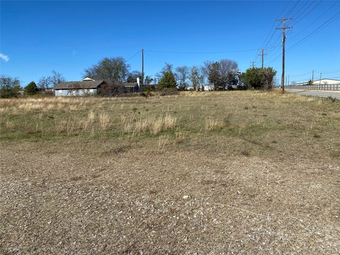
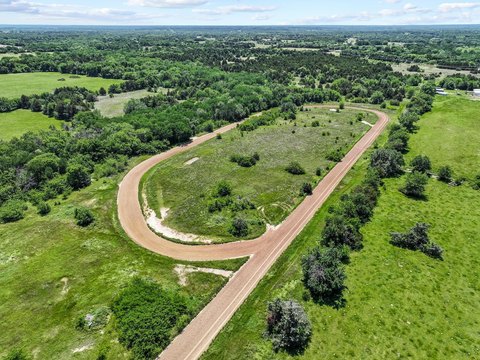
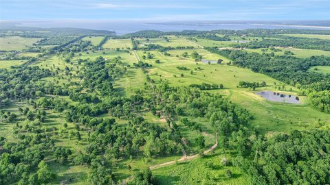
This 75.92-acre industrial land tract fronts FM 1417 and borders the Texas Regional Airport. The property is located in the ETJ of Denison and is identified as industrial land, providing a substantial base for future commercial development.
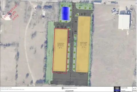
The site sits between Hwy 289 and Hwy 75, with proximity to Global Tech’s new headquarters and the growing chip-industry activity in Sherman and Denison. Public water is available, supporting planning for an industrial park or flex-space development as described for the property.
The site sits between Hwy 289 and Hwy 75, with proximity to Global Tech’s new headquarters and the growing chip-industry activity in Sherman and Denison. Public water is available, supporting planning for an industrial park or flex-space development as described for the property.
Key Highlights
- 75.92‑acre industrial land tract
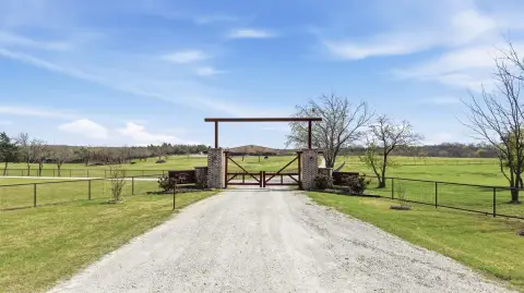
- Fronts FM 1417 and borders the Texas Regional Airport
- Located between Hwy 289 and Hwy 75
Property Analytics
Unlock full access to Insights
Subscribe to Realmo Intelligence
Open Analytics
Current Use
Lease Details
Yes
Highway access
Yes
Paved road access
Location Intelligence
Trade Area within ½ mile
32
Businesses Nearby
Explore this area
Business Placement
Demographics for 75020, TX
23,782
Population
10,802
Households
2.2
Avg Household Size
42
Median Age
19%
College-Educated
90%
High-School Grad
61.0 sq mi
ZIP Area
390
Density / Sq Mi
$66,308
Median Household Income
$38,656
Median Earnings
$1,136
Median Rent
$187,200
Median Home Value
Check the figures for this property
Cap Rate, Value Estimation, Potential NOI and more
View Realmo Analytics
Market
Vacancy Rate% for Industrial in South region



Frequently Asked Questions
What type of property is this?
Industrial land - Large development tract with public water and a location within Denison’s ETJ.
Where is this industrial land located?
The property is located at 6935 N Fm 1417 Denison, TX.
What is the asking price?
The asking price for this property is $4,250,000.
What are key features of this property?
This property features: 75.92‑acre industrial land tract; Fronts FM 1417 and borders the Texas Regional Airport; Located between Hwy 289 and Hwy 75


