6001 NW Cookingham Drive, Kansas City, MO 64164
- Added:
- Apr 30, 2026
- Days on Market:
- 58
- Last Refresh:
- Jun 26 at 11:06 pm
Property Features for 6001 NW Cookingham Drive
General Information
- Property type
- Land
- Property subtype
- Other
- Zoning
- RES
- Vegetation
- Natural State, Brush
- Standard status
- Active
- APN
- 18-4.0-19-000-000-005-000
- Lot size
- 0.56 Acres
Taxes and HOA fees
- Tax Annual Amount
- 90
Utilities
- Water source
- Public
Listing agent Terry Terese Durand License #2003006714 (816) 517-9009
Listing office ReeceNichols-KCN 8407 N Mercier St, Olathe, MO (816) 468-8555
Listing date Apr 30, 2026
Copyright © 2026 Heartland Multiple Listing Service. All rights reserved. All information provided by the listing agent/broker is deemed reliable but is not guaranteed and should be independently verified.
HighLights
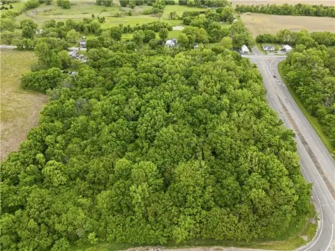
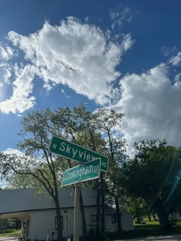
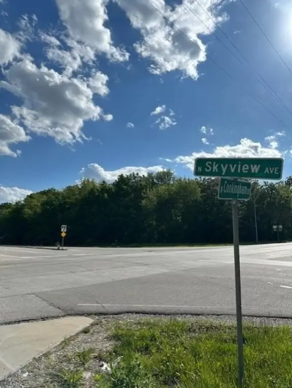
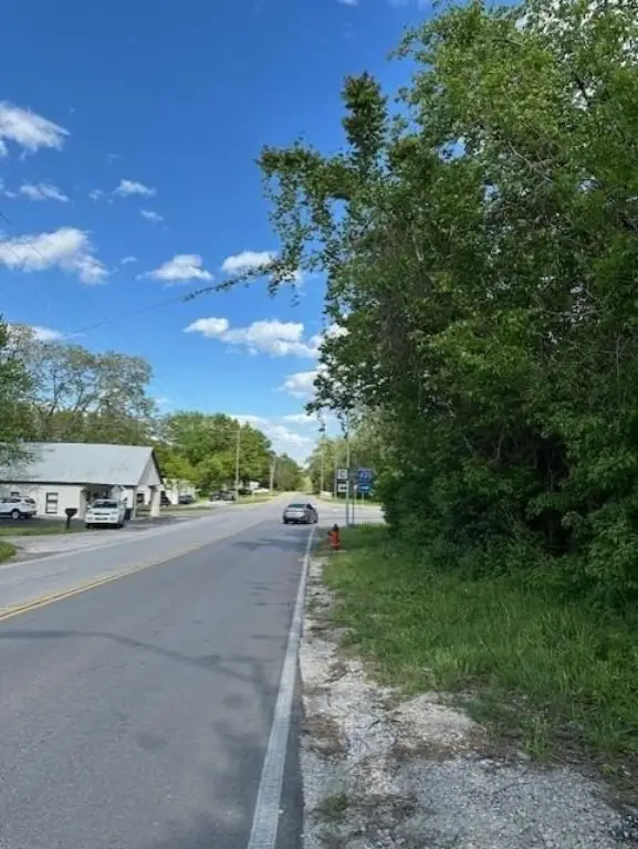
- Potential commercial site at the intersection corner of Skyview Ave and Cookingham Drive
- Easy access to I‑435 and I‑29
- Public water available
Overview
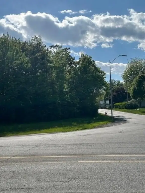
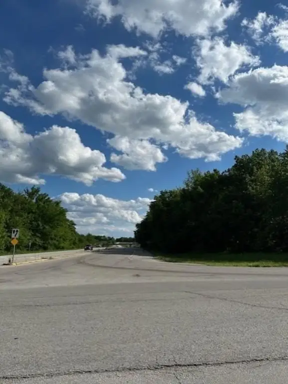
The parcel is positioned at an intersection corner along Skyview Ave and Cookingham Drive at 6001 NW Cookingham Drive in Kansas City, MO 64164. The location is described as having easy access to I-435 and I-29, which can be useful for distribution-oriented planning or for sites where regional connectivity matters. The property sits in Platte County.
For buyers, this land listing may fit parties looking for a small-site development opportunity with confirmed corner exposure and roadway connectivity. Because zoning is identified as RES, prospective buyers should confirm whether the intended use aligns with current zoning requirements or what approvals may be necessary before moving forward. With the lot size and corner configuration already established, the next practical step for an investor or developer is to evaluate site feasibility and any zoning-driven constraints based on the specific development concept they have in mind.
Current Use by Public Records
Location Insight
- Map
- Local Demand
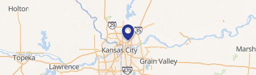
- City
- Kansas City
- County
- Platte
- State
- Missouri
- Longitude
- -94.649648
- Latitude
- 39.310346