Riverfront Hunting







For Sale
$295,000
Pending
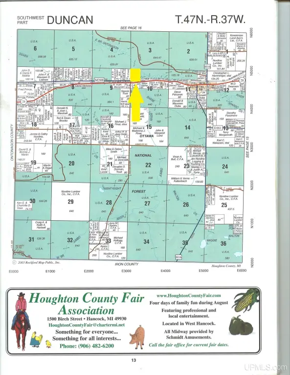
55 acres Old M 28 Highway, Kenton, MI 49967
VACANT LAND, Kenton, MI
Property SizeContact for details
Lot Size55.00 Acres
Days on Market98
Property Features for 55 acres Old M 28 Highway
General Information
Property type
Land
Property subtype
Other
Zoning description
Recreational, Residential
Lot features
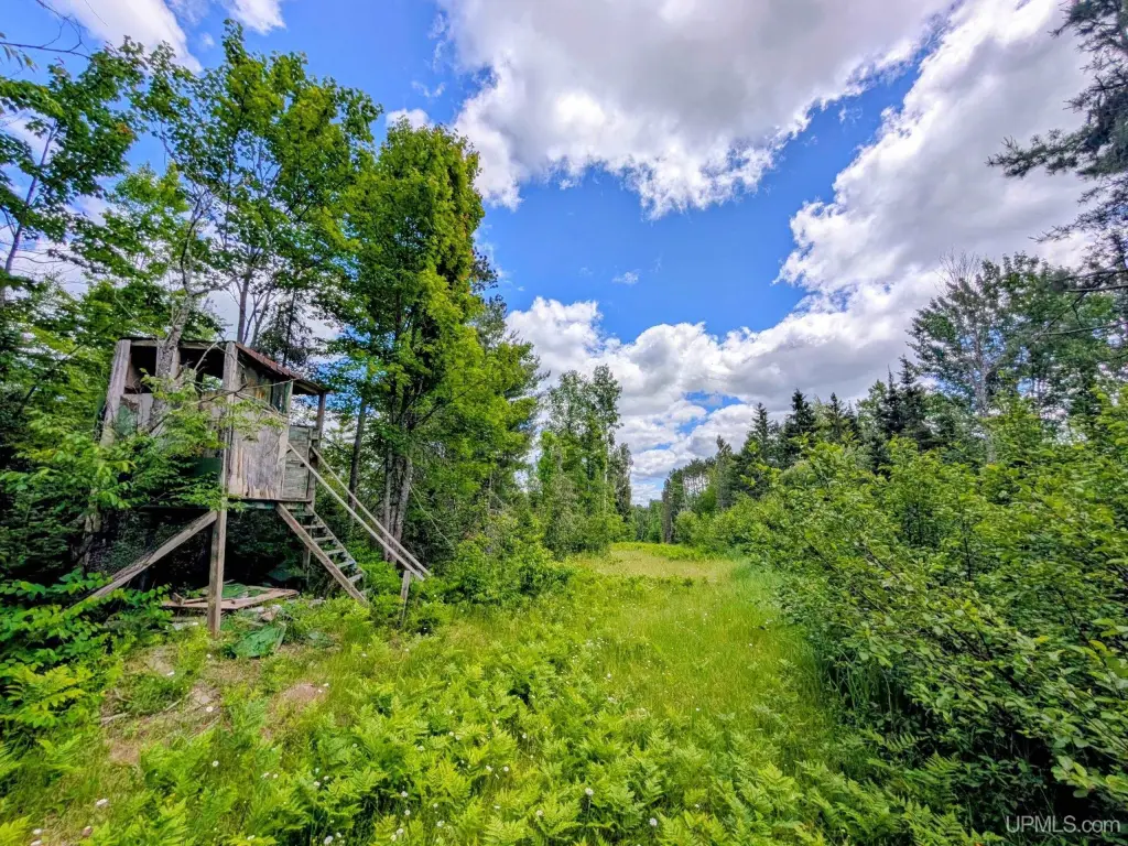
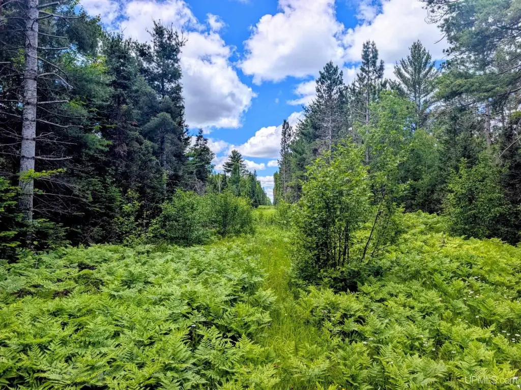
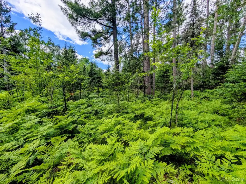
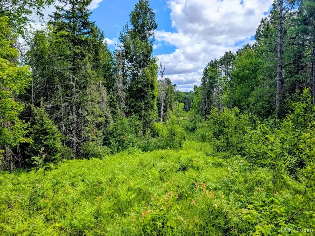
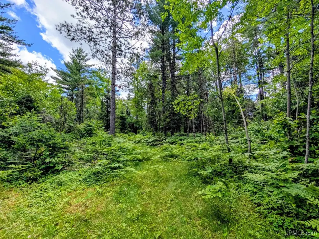
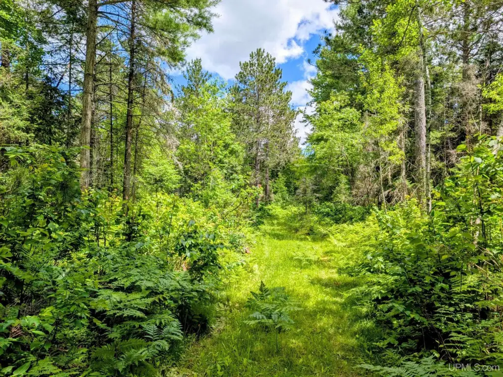
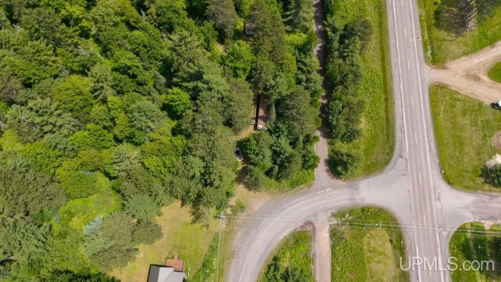
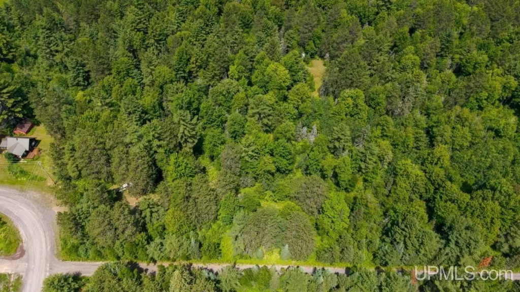
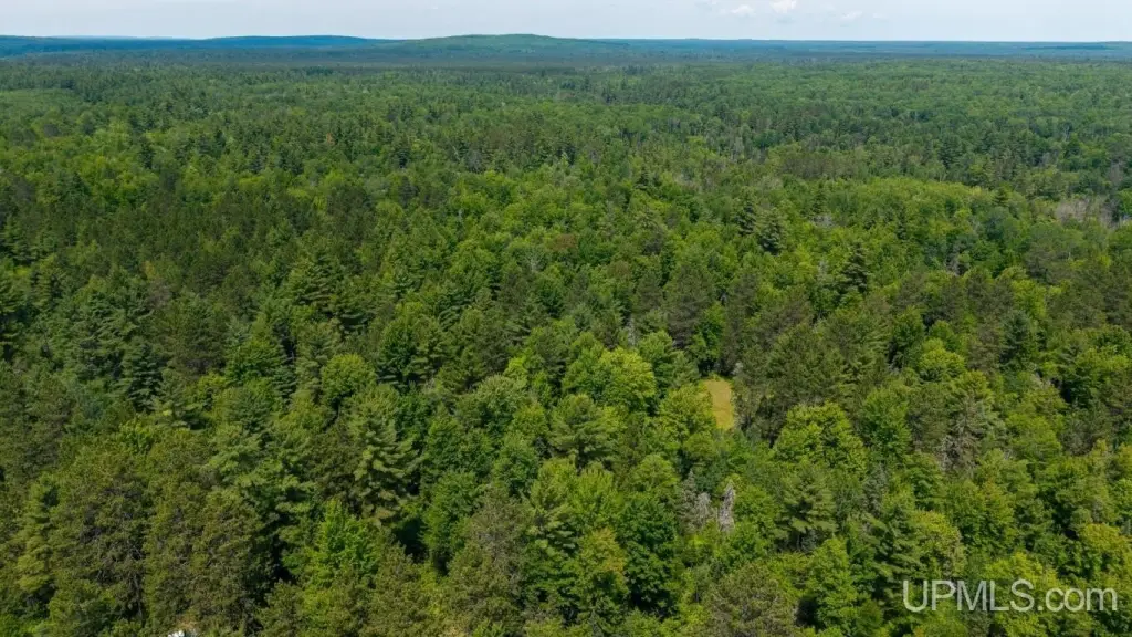
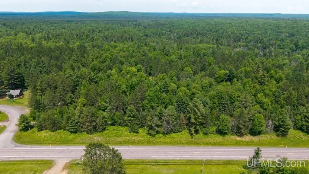
Rural, Rolling/ Hilly, Wooded, Adjoins State/ Fed Land
Elementary school district
Ewen-Trout Creek Cons SD
Middle school district
Ewen-Trout Creek Cons SD
High school district
Ewen-Trout Creek Cons SD
Subdivision
Duncan Twp (31009)
Standard status
Pending
Lot size
55.00 Acres
Taxes and HOA fees
Tax Annual Amount
844
Utilities
Water front
1
Listing Agency:
RE/MAX NORTH COUNTRY-IR
(906) 265-6133
Listed By:
JEFF DOHL · License #6502328926
(906) 367-9422
Added: Jul 1
Changed: Oct 3
Last Checked: Oct 6 at 4:06AM
MLS# 50213496
Copyright © 2026 Upper Peninsula Association of Realtors. All rights reserved. All information provided by the listing agent/broker is deemed reliable but is not guaranteed and should be independently verified.
Investment Insights
Based on property information with market context.
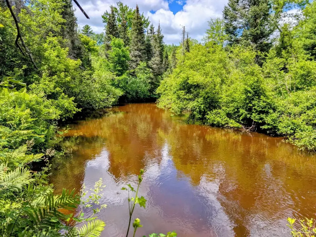
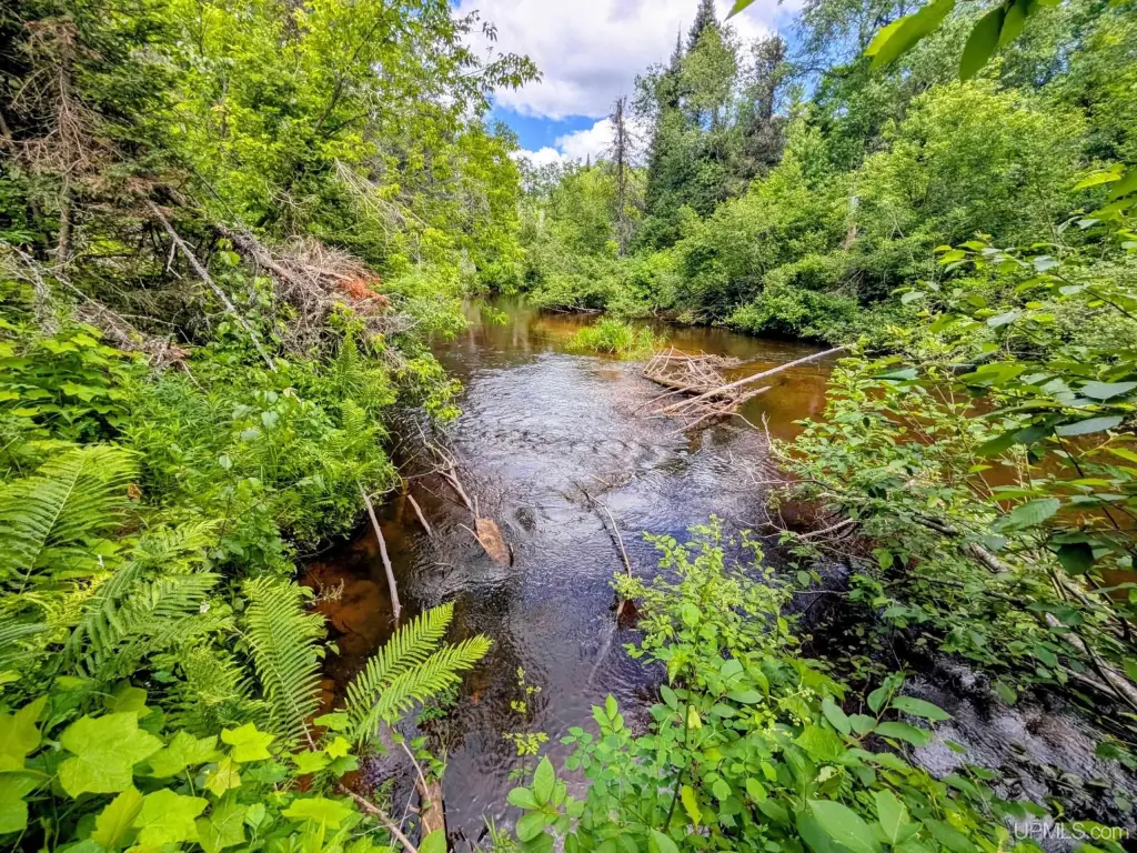
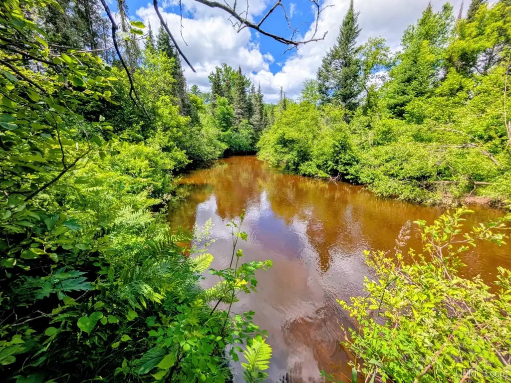
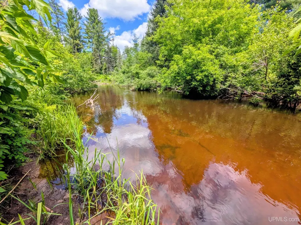
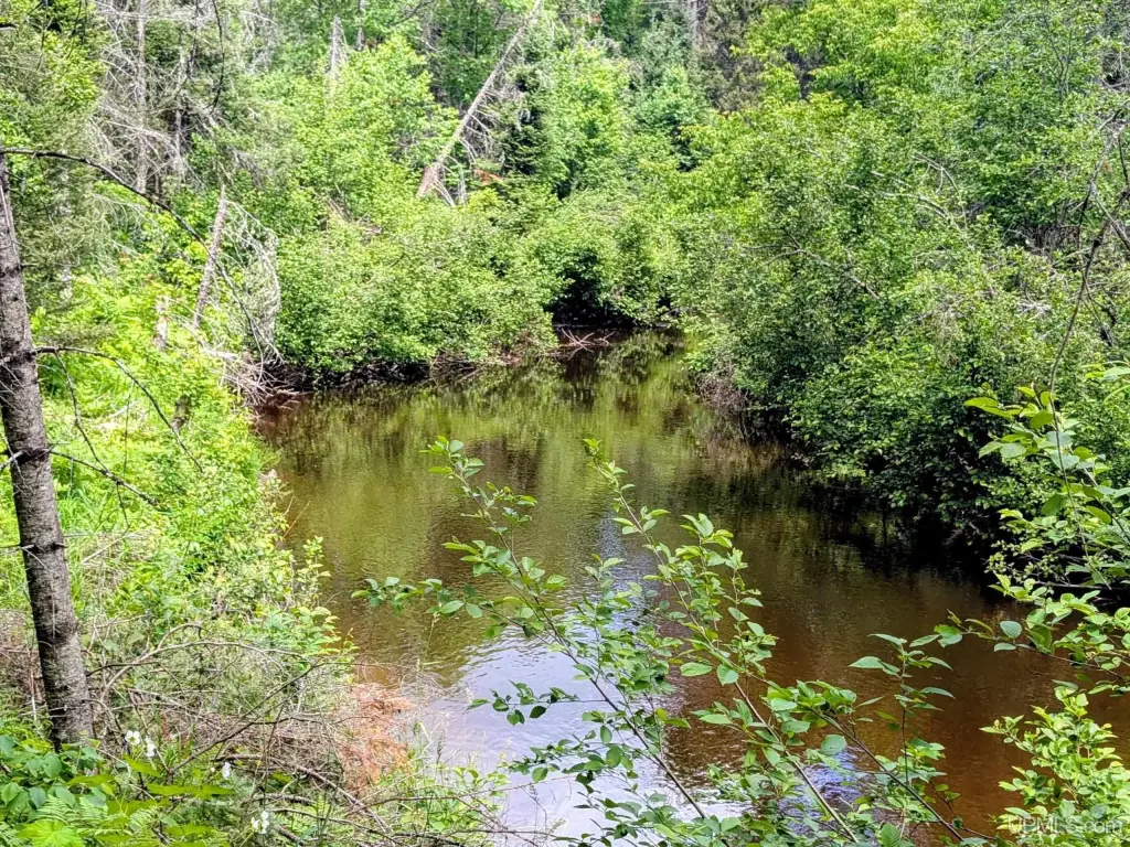
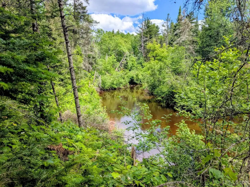
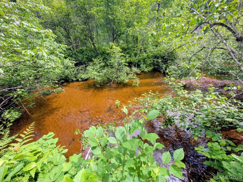
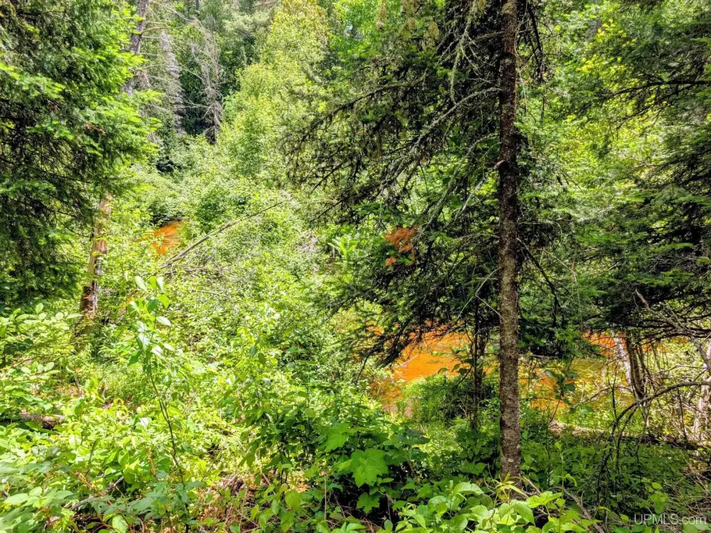
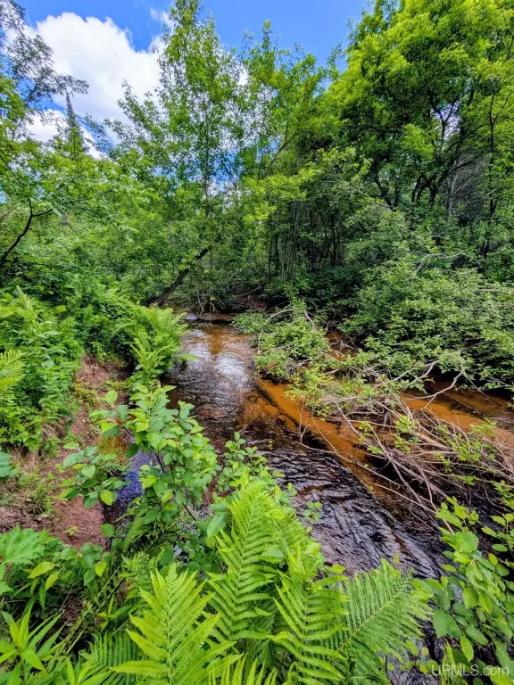
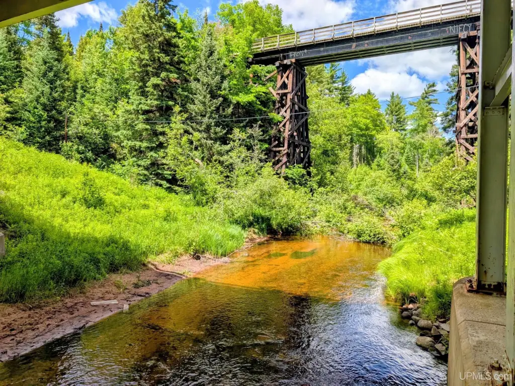
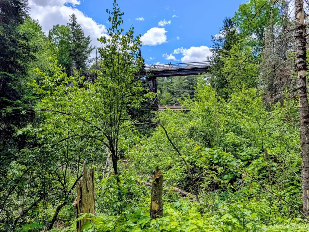
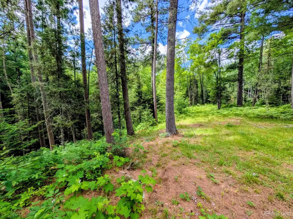
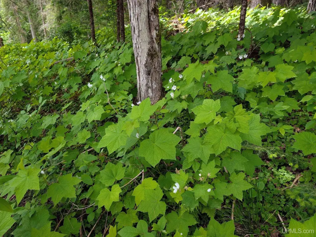
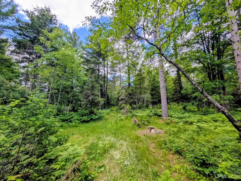
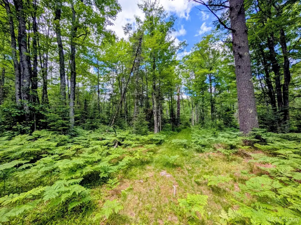
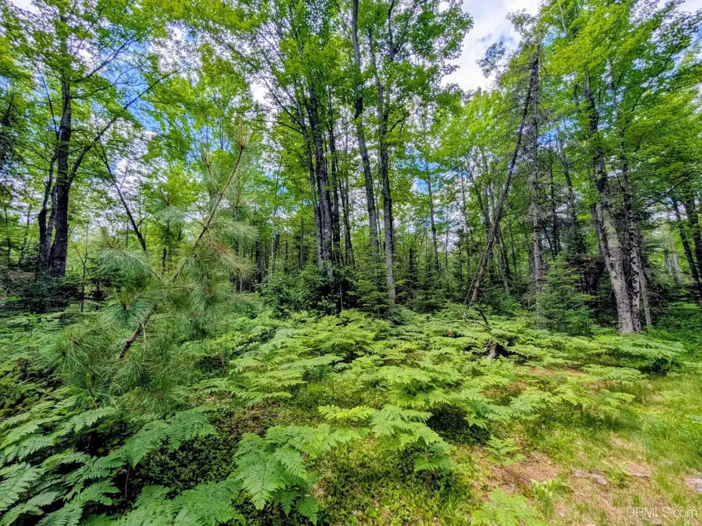
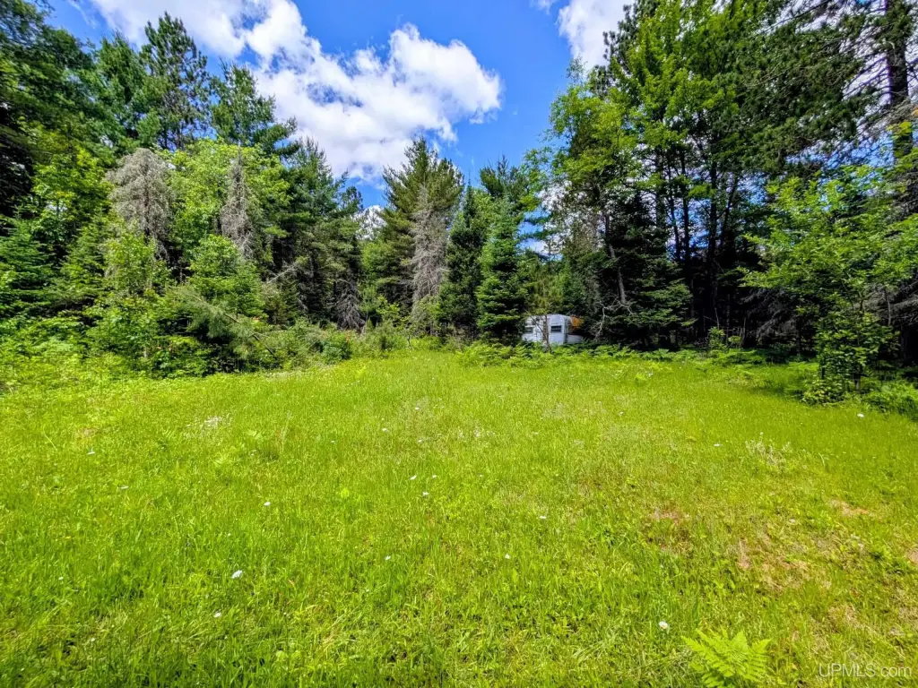
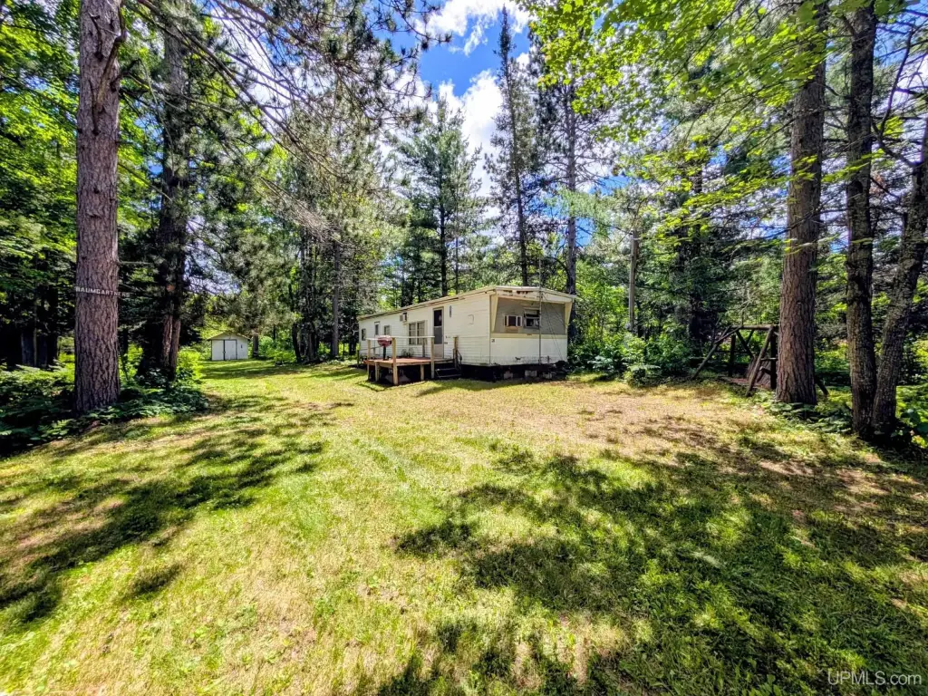
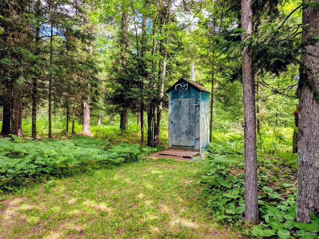
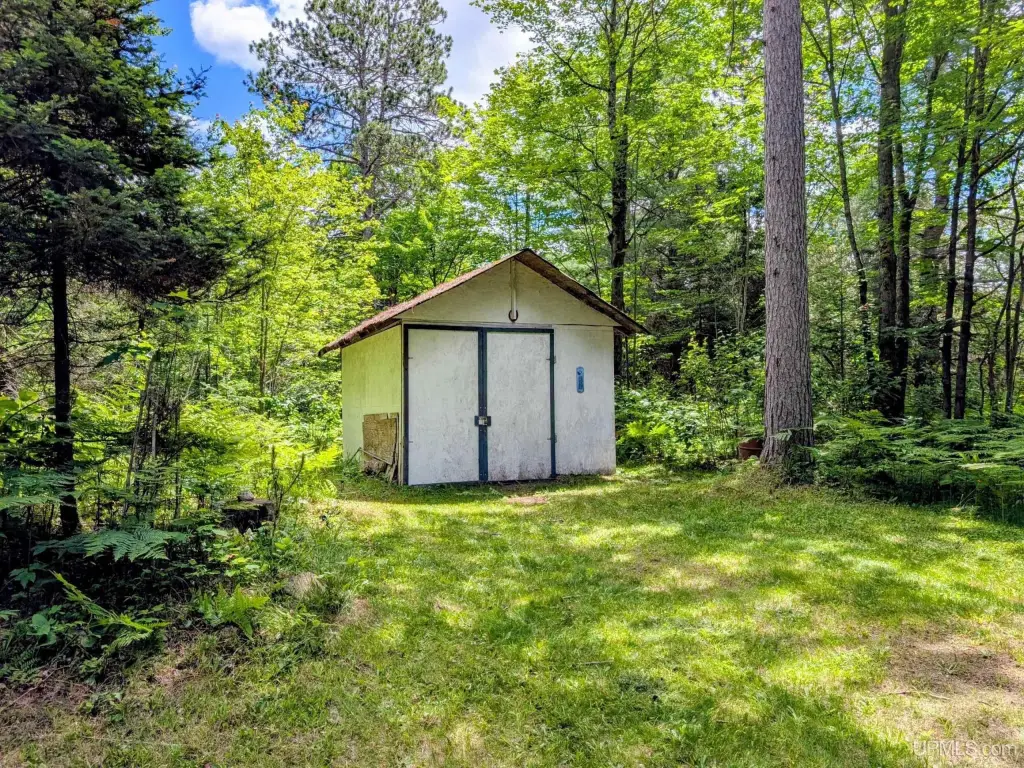
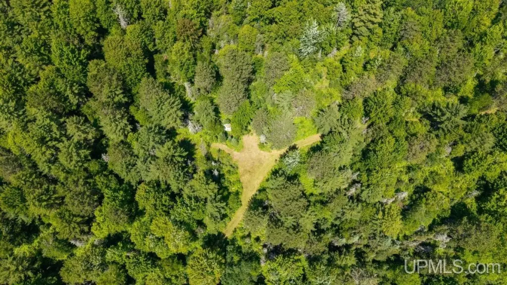
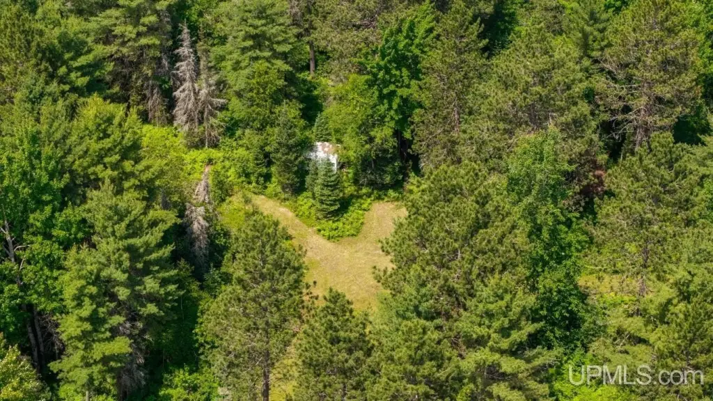
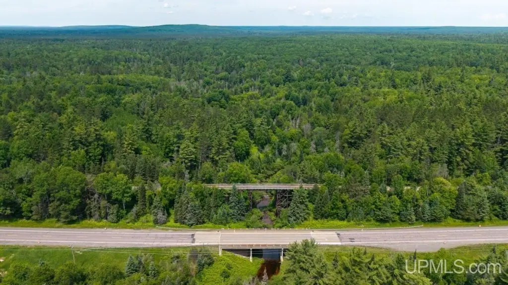
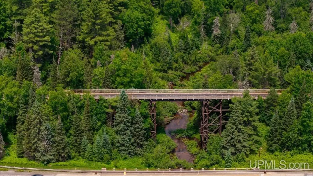
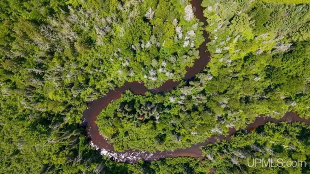
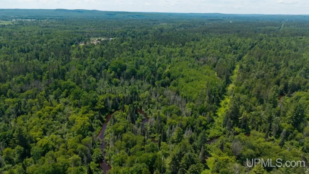
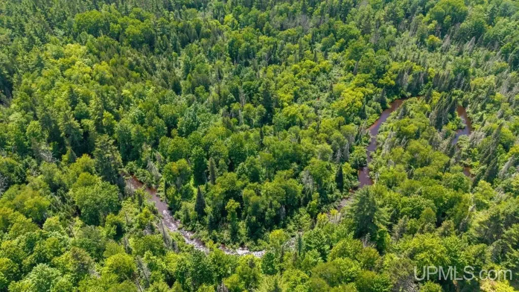
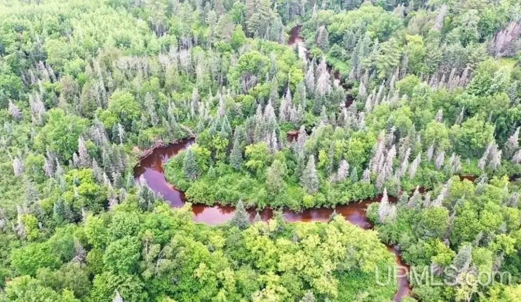
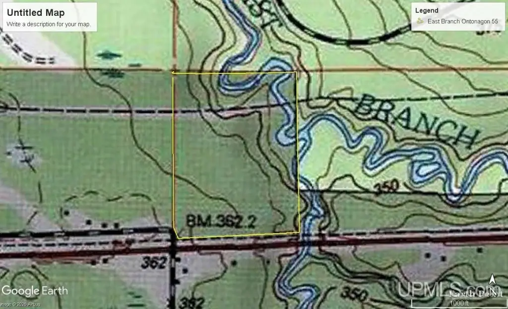
This 55-acre hunting and recreation property includes frontage on the Jumbo River and East Branch of the Ontonagon River, with rolling terrain, white pine ridges, cedar bottoms, and wooded edges. An older 12' x 46' trailer with power provides a base camp, complemented by a storage building and outhouse. Internal roads lead to the rivers and established hunting areas, while the land supports fishing, hiking, ATV riding, and snowmobiling.
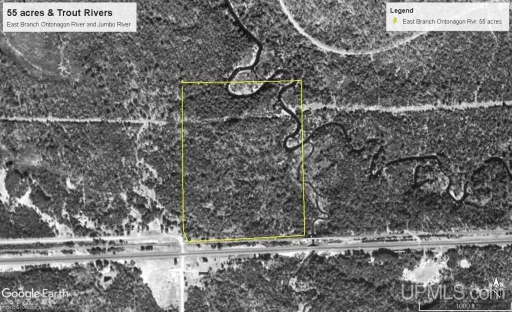
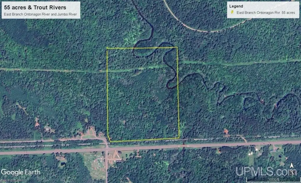
Ottawa National Forest adjoins the property along its north and east sides, and an ATV and snowmobile trail follows the southern boundary. River frontage includes more than 250 feet along the Jumbo River and approximately 1,500+/- feet along the East Branch of the Ontonagon River. The property is located on Old M 28 Highway in Kenton, Michigan.
Ottawa National Forest adjoins the property along its north and east sides, and an ATV and snowmobile trail follows the southern boundary. River frontage includes more than 250 feet along the Jumbo River and approximately 1,500+/- feet along the East Branch of the Ontonagon River. The property is located on Old M 28 Highway in Kenton, Michigan.
Key Highlights
- 55 acres of hunting and recreational land
- More than 250 feet along the Jumbo River
- Approximately 1,500+/- feet on the East Branch of the Ontonagon River
Property Analytics
Current Use
Lease Details
Yes
Paved road access
Location Intelligence
Trade Area within ½ mile
2
Businesses Nearby
Explore this area
Business Placement
Demographics for 49967, MI
434
Population
519
Households
0.8
Avg Household Size
61
Median Age
23%
College-Educated
96%
High-School Grad
348.3 sq mi
ZIP Area
1
Density / Sq Mi
$48,438
Median Household Income
$26,979
Median Earnings
$90,500
Median Home Value

Questions? Ask Rey
Realmo’s AI knows this listing — price, zoning, demand, history. Ask anything.
Frequently Asked Questions
What type of property is this?
Hunting land - 55-acre recreational tract with river frontage, a powered base-camp trailer, and access roads serving hunting areas and waterways.
Where is this hunting land located?
The property is located at 55 acres Old M 28 Highway Kenton, MI.
What is the asking price?
The asking price for this property is $295,000.
What are key features of this property?
This property features: 55 acres of hunting and recreational land; More than 250 feet along the Jumbo River; Approximately 1,500+/- feet on the East Branch of the Ontonagon River