Recreation Land
For Sale
$395,000
NNA Kirby Mt. W 5 acres, Sandpoint, ID 83864
Land, Sandpoint, ID
Property SizeContact for details
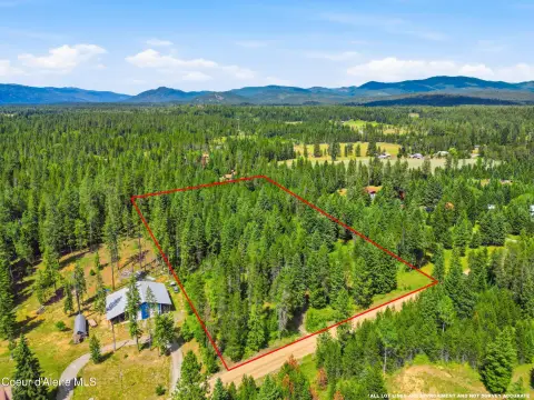
Lot Size5.00 Acres
Days on Market182
Property Features for NNA Kirby Mt. W 5 acres
General Information
Property type
Land
Property subtype
Other
Zoning
Rural
Exterior features
Timber - Part
Lot features
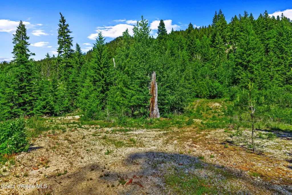
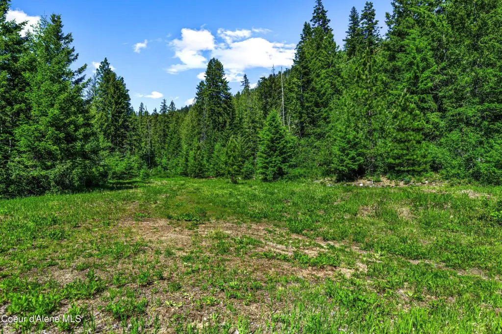
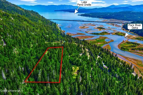
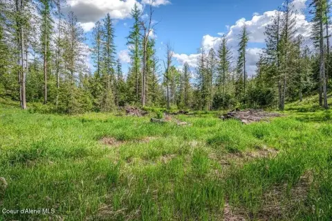
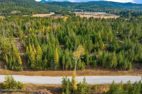
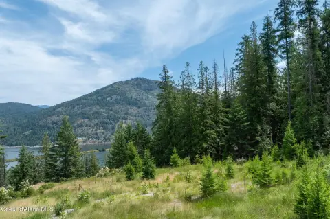
Sloped, Pasture, Level, Southern Exposure, Wooded, Borders Special Land
View
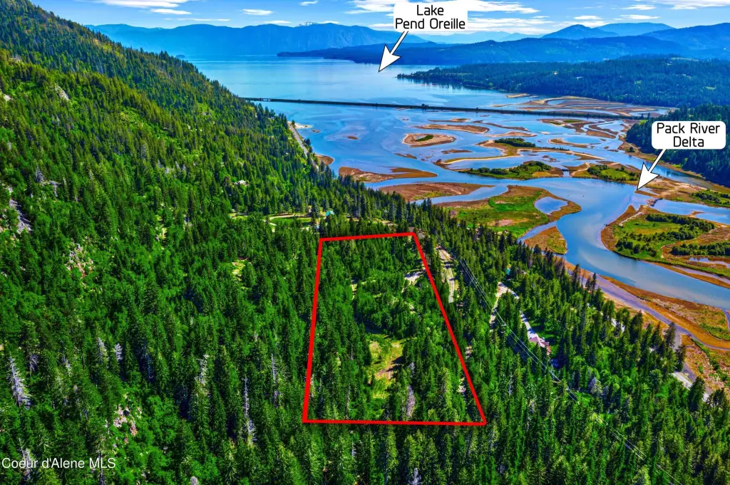
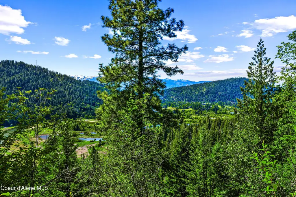
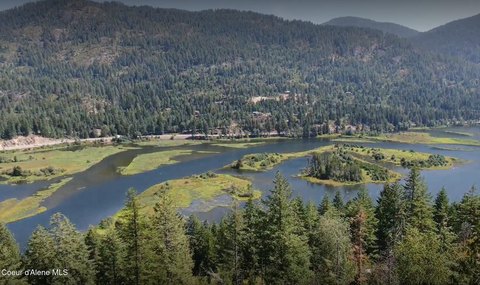
Lake, River
Elementary school district
Lk Pend Oreille - 84
Middle school district
Lk Pend Oreille - 84
High school district
Lk Pend Oreille - 84
Directions
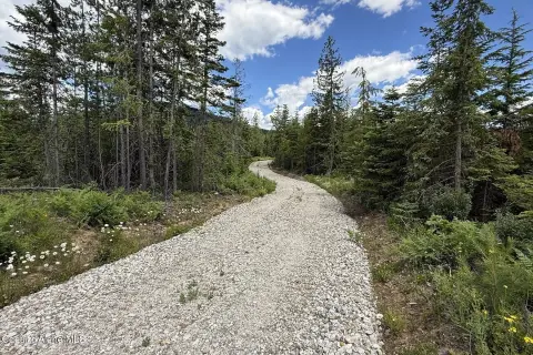
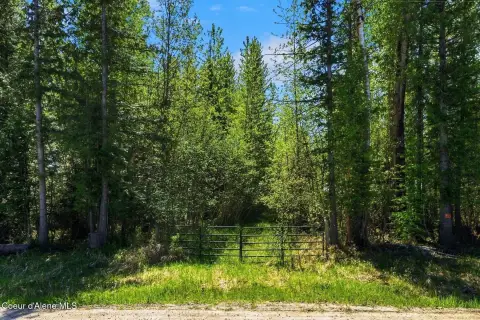
From Kootenai Cutoff Rd and Hwy 200 stop light.... Go east on Hwy 200 for 7.7 miles. Turn left on Kirby Mt Rd. Go 7/10 turn left at green gate. Appointment only.
Subdivision
North (Bonner & Boundary)
Standard status
Active
APN
57N01E053602A
Lot size
5.00 Acres
Taxes and HOA fees
Tax Year
2025
Tax Description
5-57N-1E E 330FT OF NW GOV LOT 12. See documents for full legal.
Tax Annual Amount
19
Legal Description
5-57N-1E E 330FT OF NW GOV LOT 12. See documents for full legal.
Listing Agency:
Realty Plus, INC
(208) 263-1979
Listed By:
Erik Envik · License #DB28838
(208) 290-8791
Added: Apr 20
Changed: Oct 17
Last Checked: Oct 18 at 10:06AM
MLS# 26-3750
Copyright © 2026 Coeur d'Alene Multiple Listing Service. All rights reserved. All information provided by the listing agent/broker is deemed reliable but is not guaranteed and should be independently verified.

Ask AI about this property
Review the available facts, identify missing information and prepare questions for the agent.
Investment Insights
Based on property information with market context.
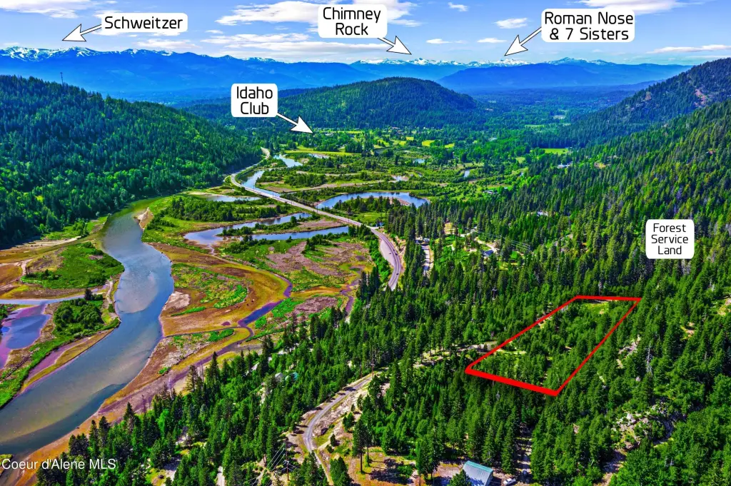
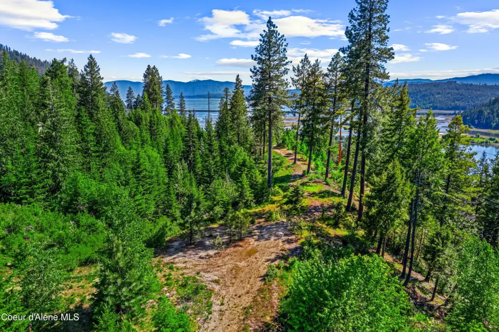
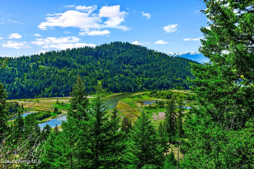
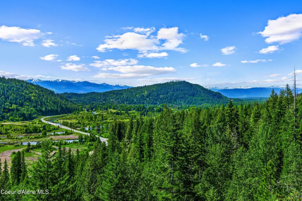
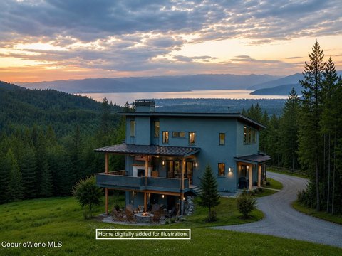
A 5-acre recreation land parcel in a rural setting, positioned at the end of a quiet road. The property offers panoramic views that include Lake Pend Oreille, the Pack River Flats, and the Schweitzer Mountain Ski Resort, with additional morning and golf-course views of the Jack Nicklaus Signature Golf Course, Chimney Rock, and the Seven Sisters Mountain Range.
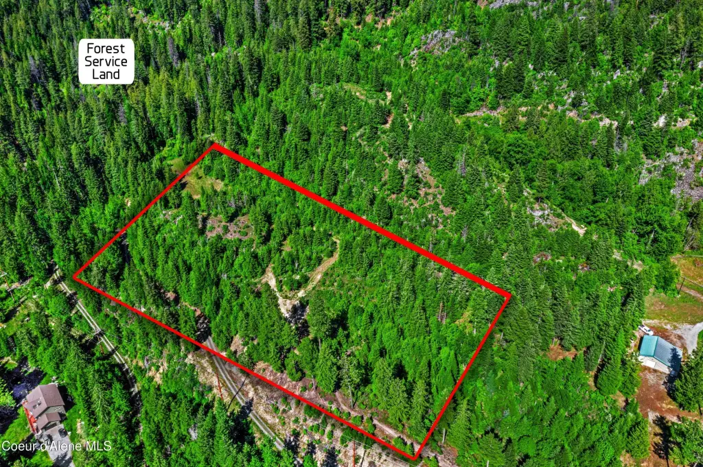
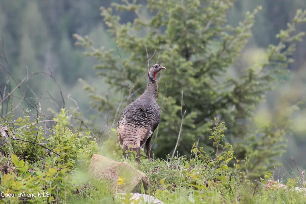
Direct access to thousands of acres of National Forest is available right out your back door, supporting outdoor recreation such as hiking and wildlife watching. Timber is listed as part of the exterior features. Wildlife visitors commonly include elk, deer, moose, and eagles.
While the parcel emphasizes seclusion, it is also described as a short drive to Sandpoint for dining, shopping, and year-round recreation.
Direct access to thousands of acres of National Forest is available right out your back door, supporting outdoor recreation such as hiking and wildlife watching. Timber is listed as part of the exterior features. Wildlife visitors commonly include elk, deer, moose, and eagles.
While the parcel emphasizes seclusion, it is also described as a short drive to Sandpoint for dining, shopping, and year-round recreation.
Key Highlights
- 5‑acre recreation land parcel positioned at the end of a quiet road
- Panoramic views of Lake Pend Oreille and Pack River Flats
- Views including Schweitzer Mountain Ski Resort and the Jack Nicklaus Signature Golf Course
Property Analytics
Unlock full access to Insights
Subscribe to Realmo Intelligence
Open Analytics
Current Use
Location Intelligence
Trade Area within ½ mile
1
Businesses Nearby
Explore this area
Business Placement
Demographics for 83864, ID
19,414
Population
9,909
Households
2
Avg Household Size
46
Median Age
37%
College-Educated
93%
High-School Grad
402.2 sq mi
ZIP Area
48
Density / Sq Mi
$68,595
Median Household Income
$34,326
Median Earnings
$1,136
Median Rent
$474,100
Median Home Value
Check the figures for this property
Cap Rate, Value Estimation, Potential NOI and more
View Realmo Analytics


Frequently Asked Questions
What type of property is this?
Land - Rural recreation parcel with direct National Forest access for hiking, wildlife watching, and scenic North Idaho views.
Where is this land located?
The property is located at NNA Kirby Mt. W 5 acres Sandpoint, ID.
What is the asking price?
The asking price for this property is $395,000.
What are key features of this property?
This property features: 5‑acre recreation land parcel positioned at the end of a quiet road; Panoramic views of Lake Pend Oreille and Pack River Flats; Views including Schweitzer Mountain Ski Resort and the Jack Nicklaus Signature Golf Course


