Mountain View Recreation
For Sale
$3,500,000
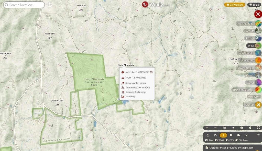
495 Mica Mine Road, Unity, NH 03743
Land, Unity, NH
Property SizeContact for details
Lot Size100.00 Acres
Days on Market357
Property Features for 495 Mica Mine Road
General Information
Property type
Land
Property subtype
Other
Zoning
Zone 3; 1F-Residential
Lot features
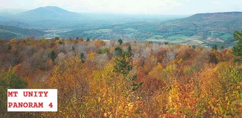
Country Setting, Hilly, Mountain View, Sloping, Timber, View, Wooded
Directions
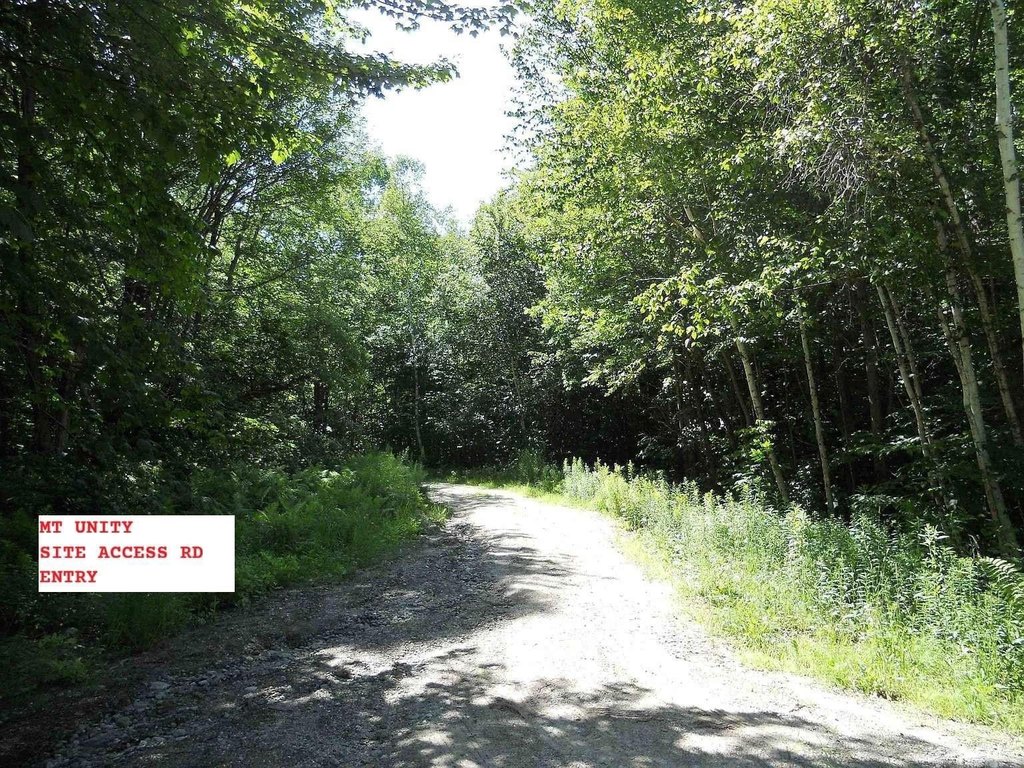
2.7 miles from Unity City Hall and Town Offices (corner of Center Rd and 2nd NH Turnpike): Travel NW on 2nd NH Turnpike; after 0.4 mi turn right onto Mica Mine Rd; after 0.8 miles stay left on Mica Mine Rd; after 0.6 miles stay left on Mica Mine Rd; after 1 mile site access road is on left.
Standard status
Active
Lot size
100.00 Acres
Taxes and HOA fees
Tax Year
2025
Tax Annual Amount
768
Utilities
Utilities
Cable Available
Water source
Spring
Listing Agency:
www.HomeZu.com
(877) 249-5478
Listed By:
Jason Saphire · License #0818954
(781) 492-7575
Added: Oct 15, 2025
Changed: Sep 16
Last Checked: Oct 6 at 1:06AM
MLS# 5065946
Copyright © 2026 PrimeMLS. All rights reserved. All information provided by the listing agent/broker is deemed reliable but is not guaranteed and should be independently verified.
Investment Insights
Based on property information with market context.
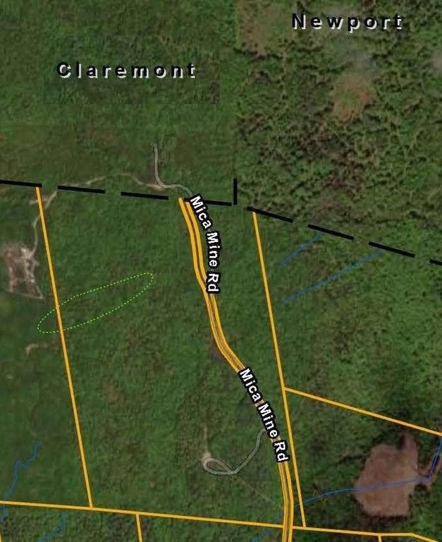
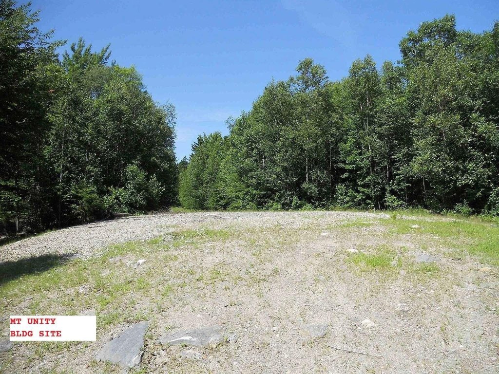
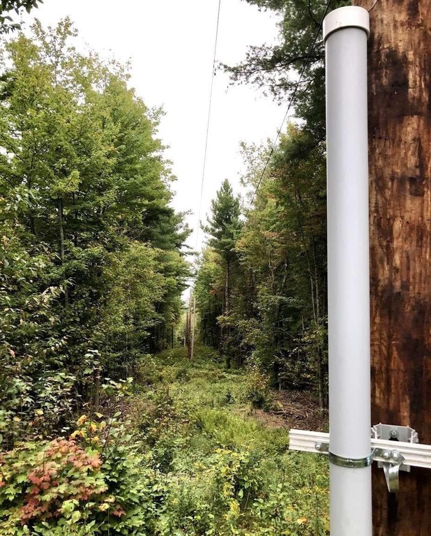
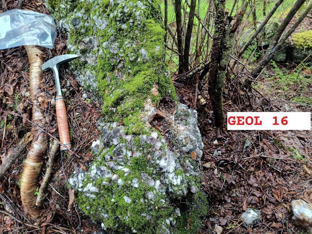
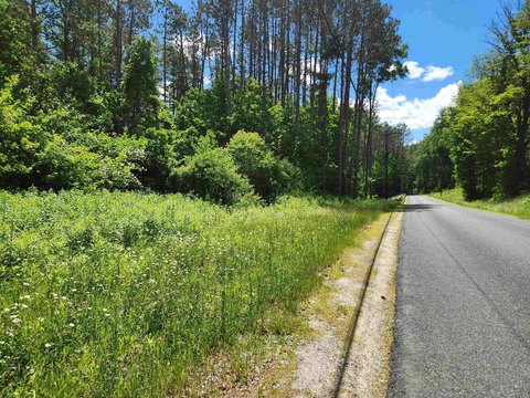
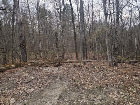
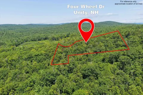
This recreation land offering consists of approximately 100 acres, including 94 acres in current use and a 6-acre buildable lot. The buildable area is identified as a former US Cellular transmission tower location and measures approximately 126' E/W by 45' N/S. The property is heavily wooded with northern hardwood forest and pockets of hemlock, pine, birch, and spruce.
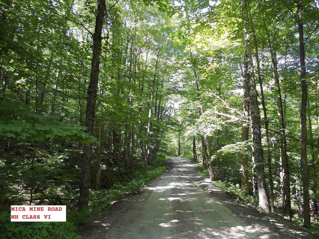
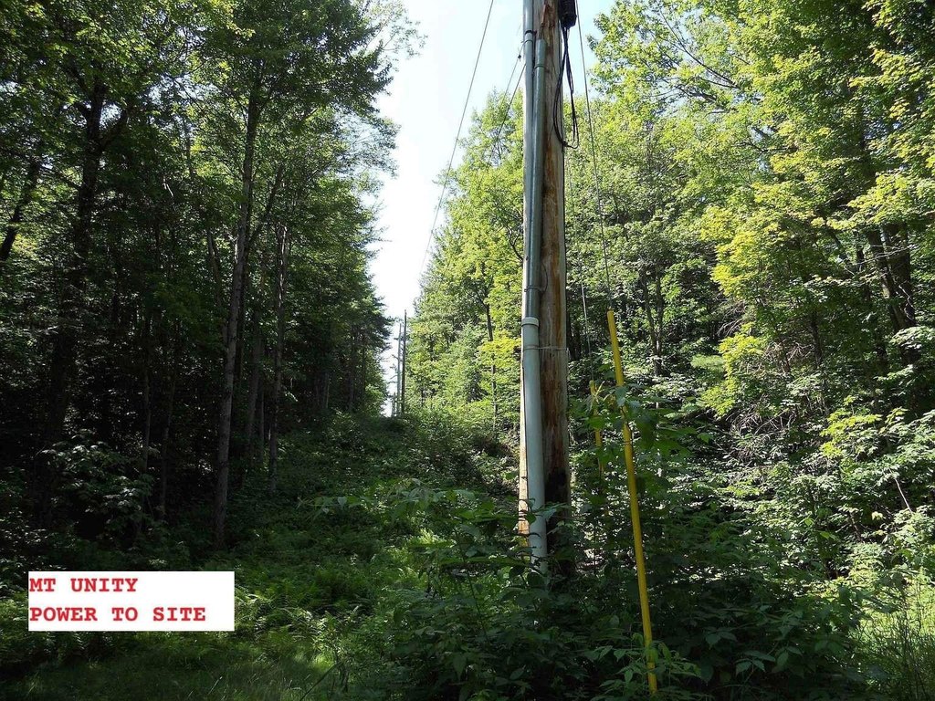
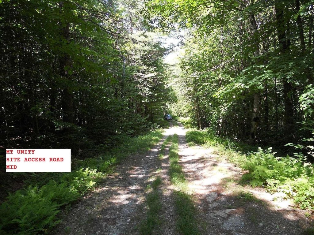
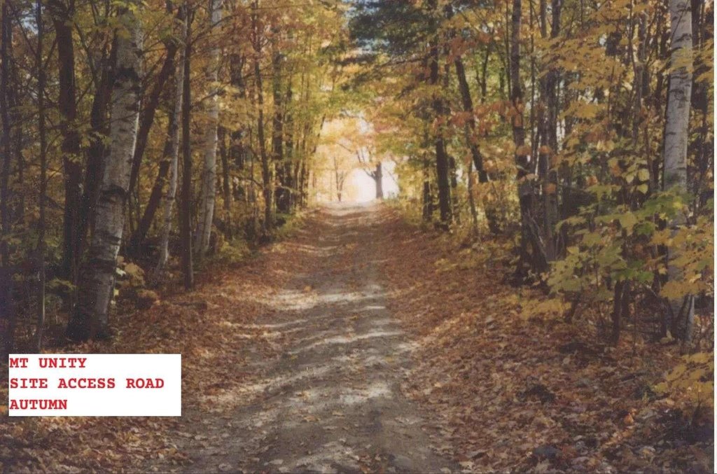
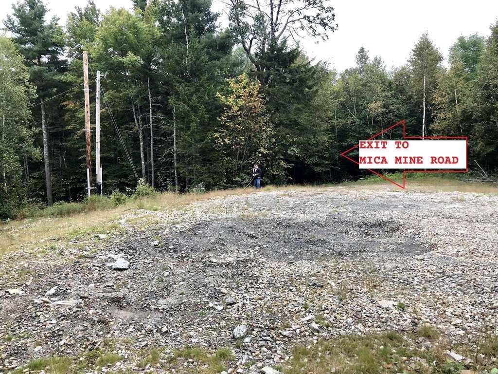
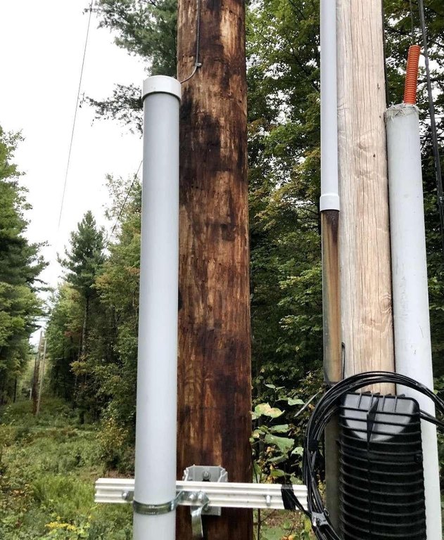
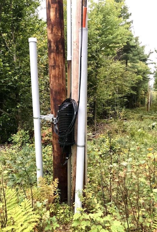
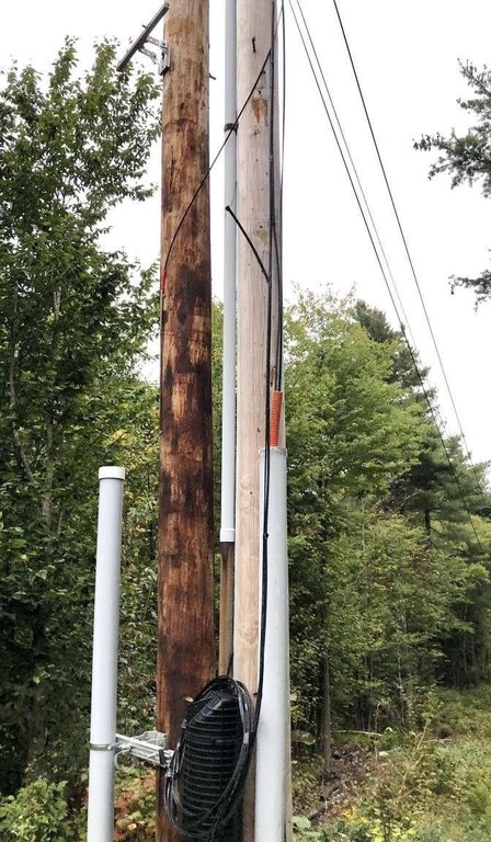
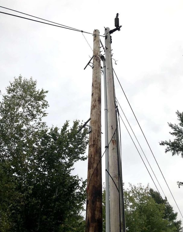
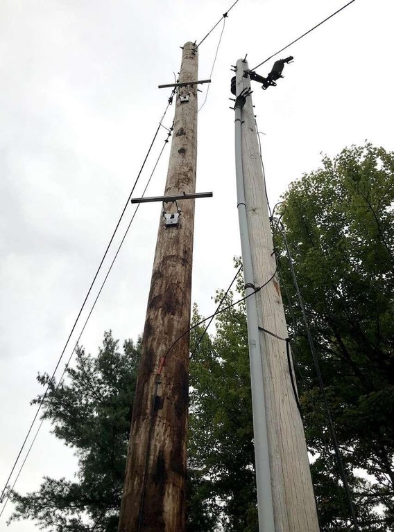
The land is accessed from Mica Mine Road, described as Class VI at the property boundary, with a 900-foot-long driveway ascending clockwise to the building site. The listing also notes commercial power available on site and high-capacity fiber optic internet on site with 10 Gbps+ data transfer.
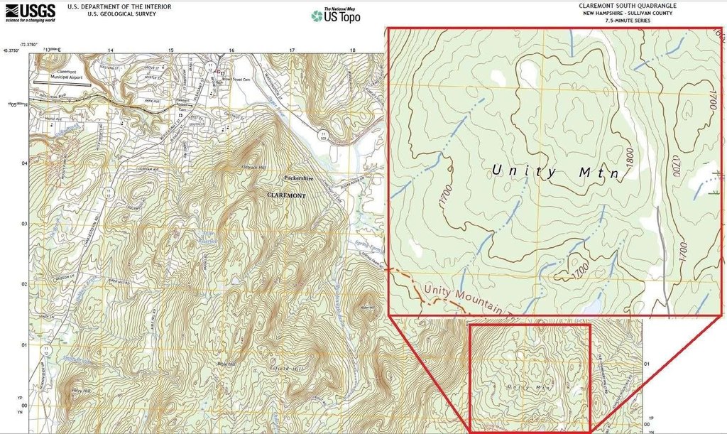
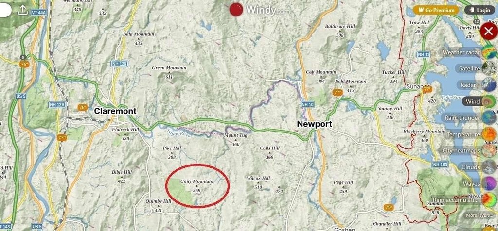
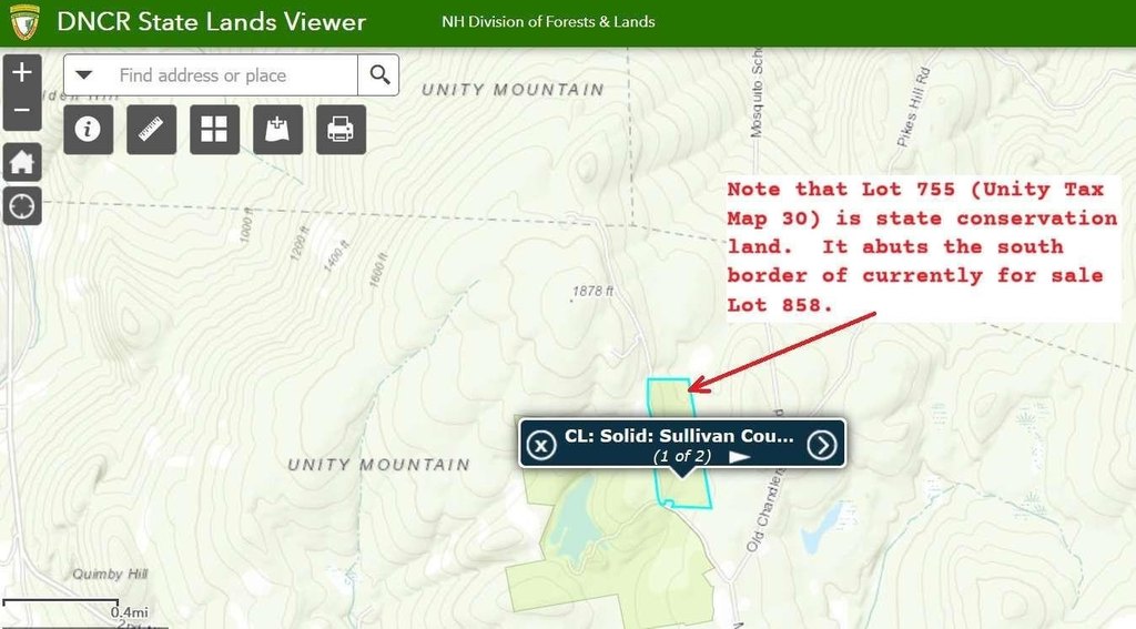
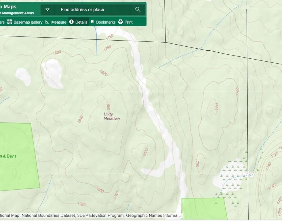
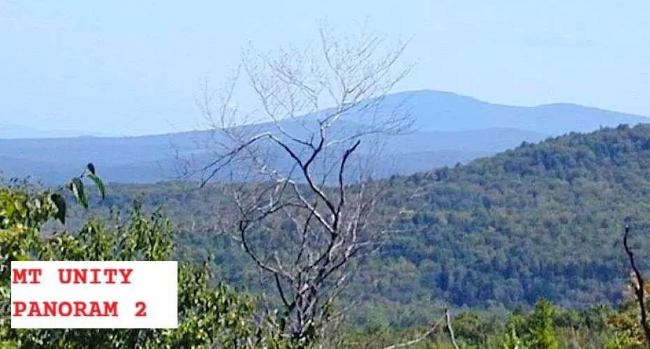
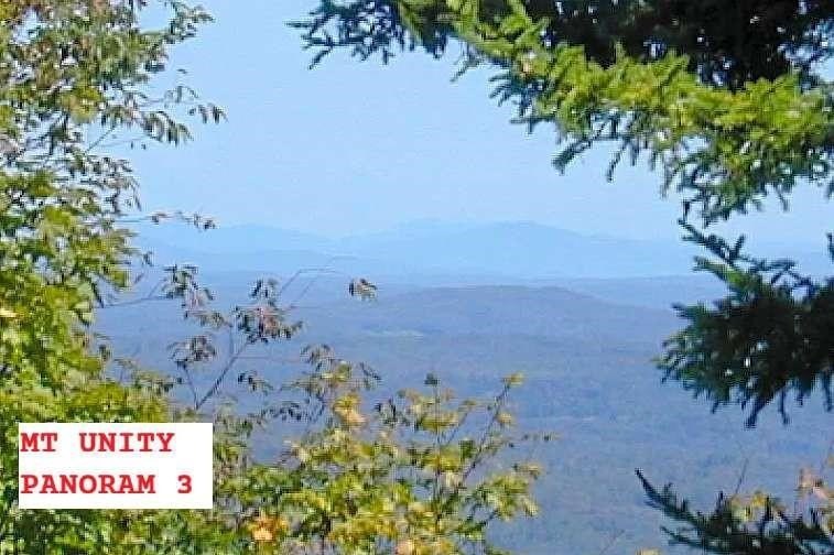
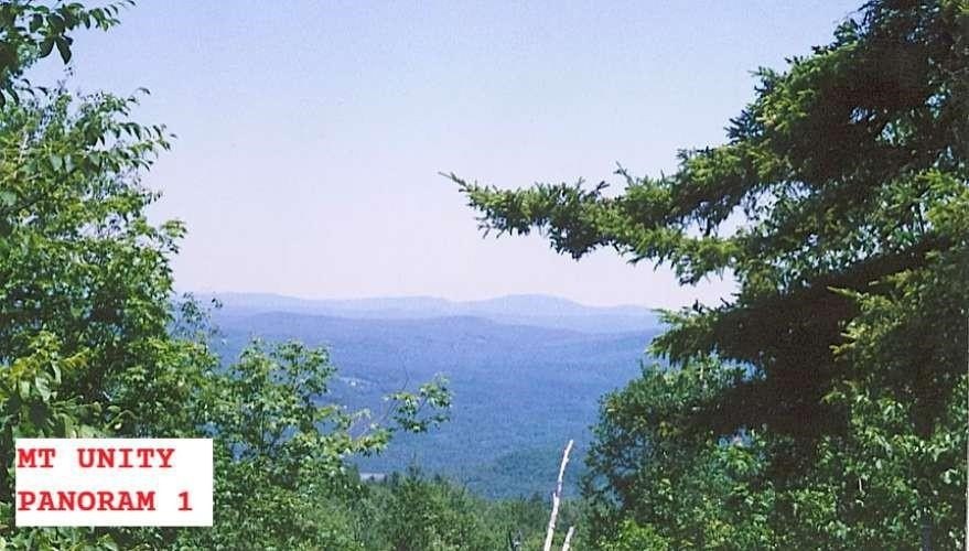
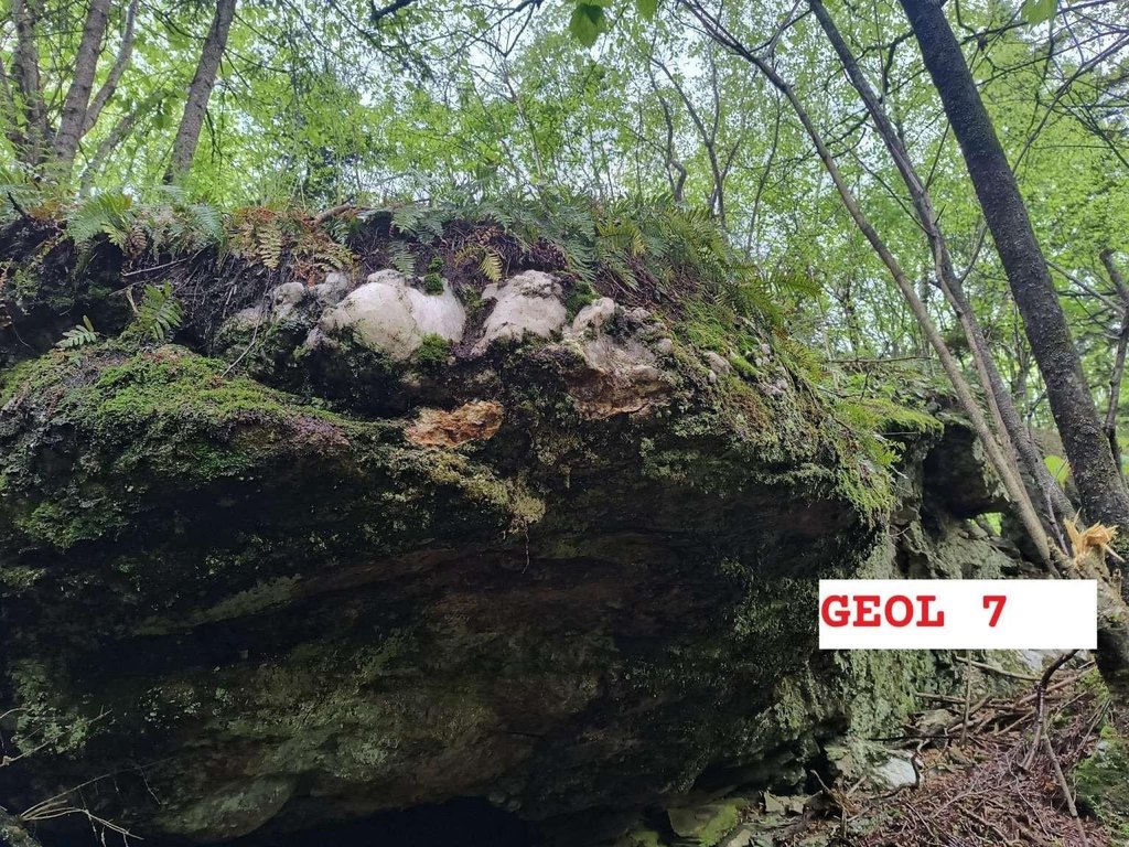
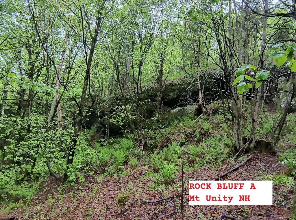
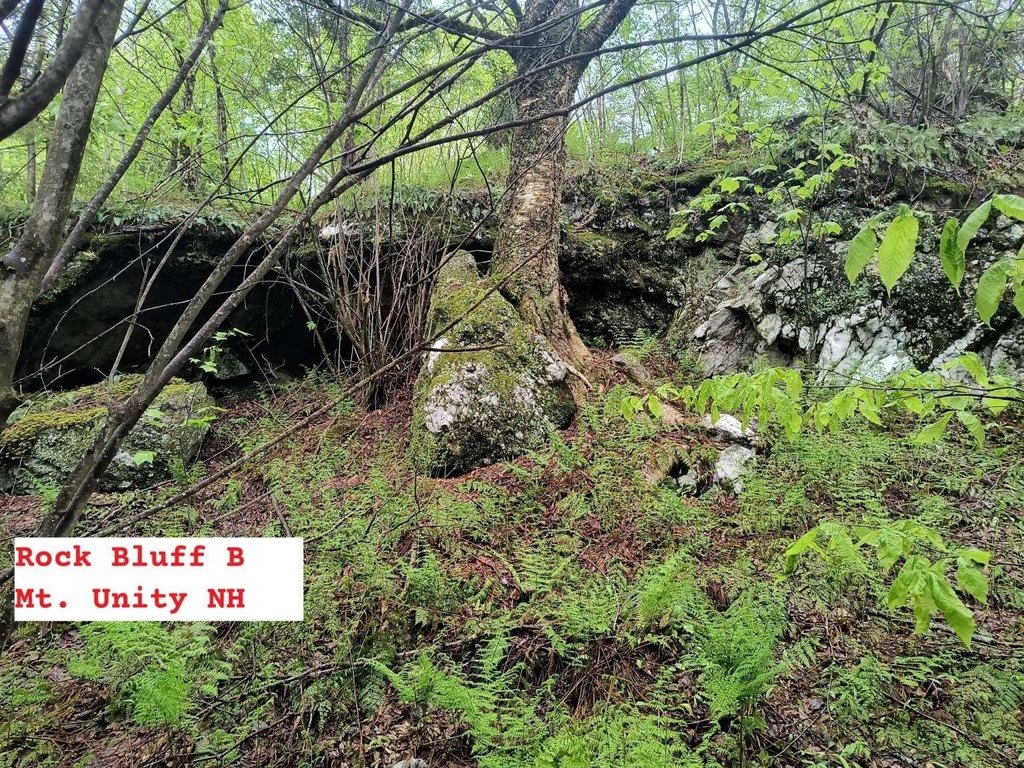
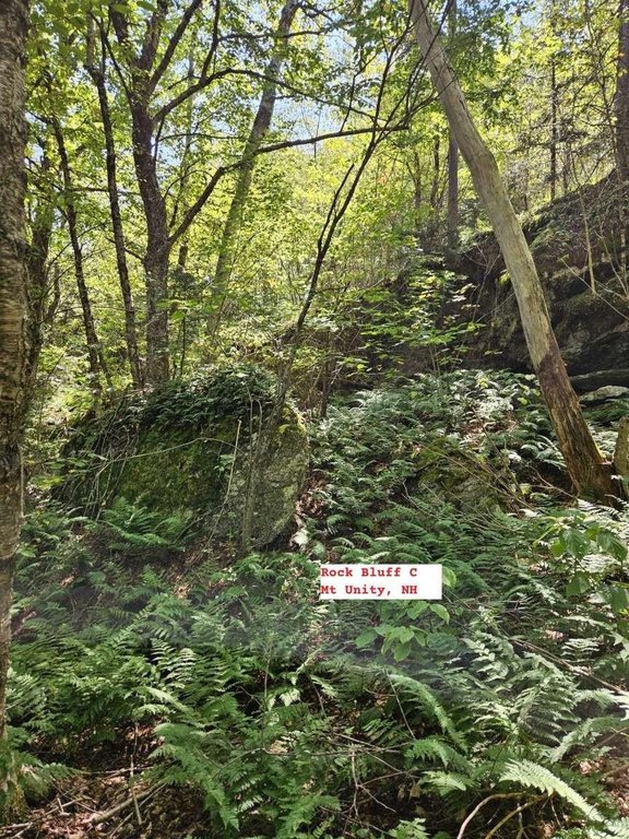
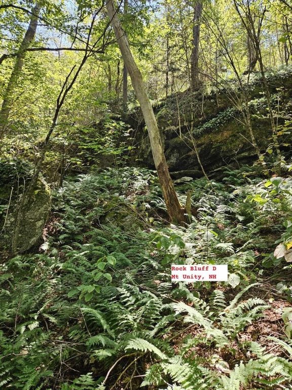
The property is associated with Mt. Unity in the Dartmouth-Sunapee Vacation Region. The summit is described as suitable for a helipad, and the north face cliff is noted as approximately 35 to 45 feet. Surrounding context mentioned includes proximity to Lake Sunapee, the Connecticut River and Vermont border, and Sullivan County Conservation Lands to the south.
The land is accessed from Mica Mine Road, described as Class VI at the property boundary, with a 900-foot-long driveway ascending clockwise to the building site. The listing also notes commercial power available on site and high-capacity fiber optic internet on site with 10 Gbps+ data transfer.
The property is associated with Mt. Unity in the Dartmouth-Sunapee Vacation Region. The summit is described as suitable for a helipad, and the north face cliff is noted as approximately 35 to 45 feet. Surrounding context mentioned includes proximity to Lake Sunapee, the Connecticut River and Vermont border, and Sullivan County Conservation Lands to the south.
Key Highlights
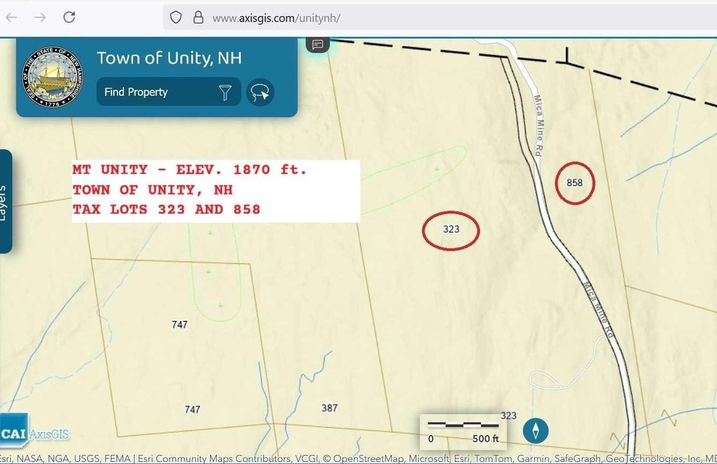
- 100‑acre site in the Dartmouth‑Sunapee Vacation Region (tax lots 323 and 858) with privacy and high security/defensibility characteristics
- Land includes 94 acres in "current use" plus a 6‑acre buildable lot at a former US Cellular transmission tower location
- Commercial power on site and commercial‑grade high‑capacity fiber optic internet with 10 Gbps+ data transfer available
Property Analytics
Unlock full access to Insights
Subscribe to Realmo Intelligence
Open Analytics
Current Use
Location Intelligence
Trade Area within ½ mile
1
Businesses Nearby
Explore this area
Business Placement
Demographics for 03743, NH
13,540
Population
5,850
Households
2.3
Avg Household Size
43
Median Age
20%
College-Educated
86%
High-School Grad
59.1 sq mi
ZIP Area
229
Density / Sq Mi
$54,978
Median Household Income
$40,794
Median Earnings
$1,078
Median Rent
$172,700
Median Home Value
Check the figures for this property
Cap Rate, Value Estimation, Potential NOI and more
View Realmo Analytics

Questions? Ask Rey
Realmo’s AI knows this listing — price, zoning, demand, history. Ask anything.

Frequently Asked Questions
What type of property is this?
Land - 100-acre property in Unity includes a 6-acre buildable lot and 94 acres in current use.
Where is this land located?
The property is located at 495 Mica Mine Road Unity, NH.
What is the asking price?
The asking price for this property is $3,500,000.
What are key features of this property?
This property features: 100‑acre site in the Dartmouth‑Sunapee Vacation Region (tax lots 323 and 858) with privacy and high security/defensibility characteristics; Land includes 94 acres in "current use" plus a 6‑acre buildable lot at a former US Cellular transmission tower location; Commercial power on site and commercial‑grade high‑capacity fiber optic internet with 10 Gbps+ data transfer available


