Fenced Agricultural Land with Water









For Sale
Under Contract
$799,000
49 Forder Lane, Plains, MT 59859
Land, Plains, MT
Property SizeContact for details
Lot Size186.59 Acres
Days on Market50
Property Features for 49 Forder Lane
General Information
Property type
Land
Property subtype
Other
Fencing
Fenced, Perimeter
View
Valley, Mountains
Directions
Hwy 200 to Clayton St, follow Clayton St which turns into Upper Lynch Road for about 2.5 miles, property is on the left. Sign on the property
Standard status
Active Under Contract
APN
35297914301010000
Lot size
186.59 Acres
Taxes and HOA fees
Tax Year
2025
Tax Description
A parcel of land in the West half (W1/2) of section 14 and the West half (W1/2) of section of section 23, T20 N, R26 W, Sanders County, Montana, further described as Parcel "B" on Certificate of Survey No 1499-MS
Tax Annual Amount
123
Legal Description
A parcel of land in the West half (W1/2) of section 14 and the West half (W1/2) of section of section 23, T20 N, R26 W, Sanders County, Montana, further described as Parcel "B" on Certificate of Survey No 1499-MS
Listing Agency:
HomeSmart Realty Partners · HomeSmart International
(406) 558-4779
Listed By:
Charlie Scott · License #RRE-RBS-LIC-62848
(406) 382-0704
Added: Jul 3
Changed: Aug 21
Last Checked: Aug 21 at 10:06AM
MLS# 30074256
Copyright © 2026 Montana Regional MLS. All rights reserved. All information provided by the listing agent/broker is deemed reliable but is not guaranteed and should be independently verified.
Investment Insights
Based on property information with market context.
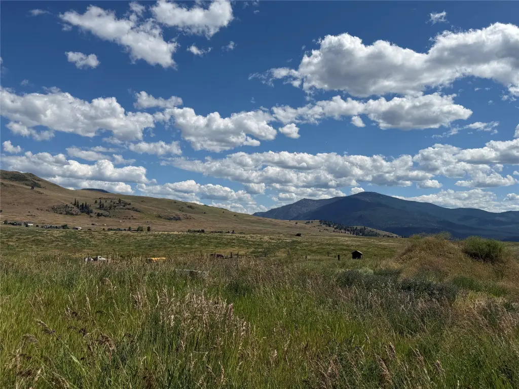
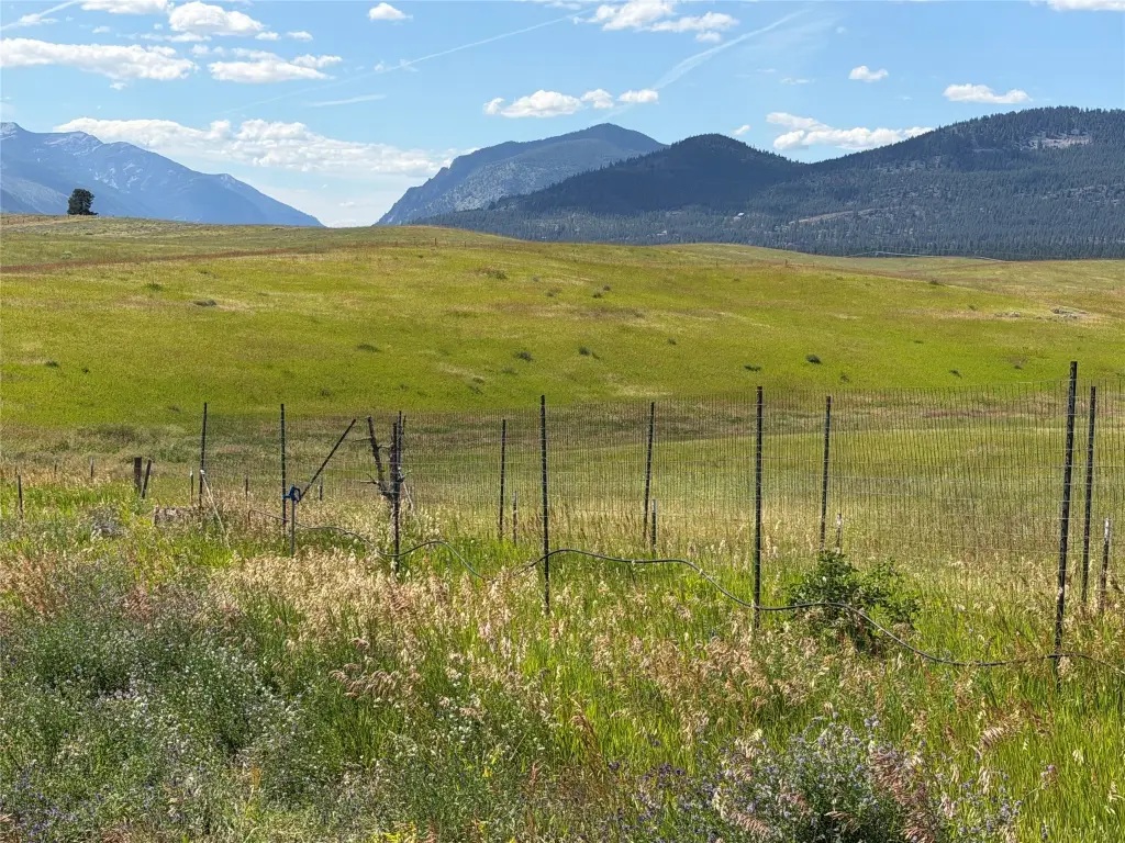
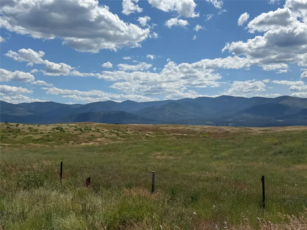
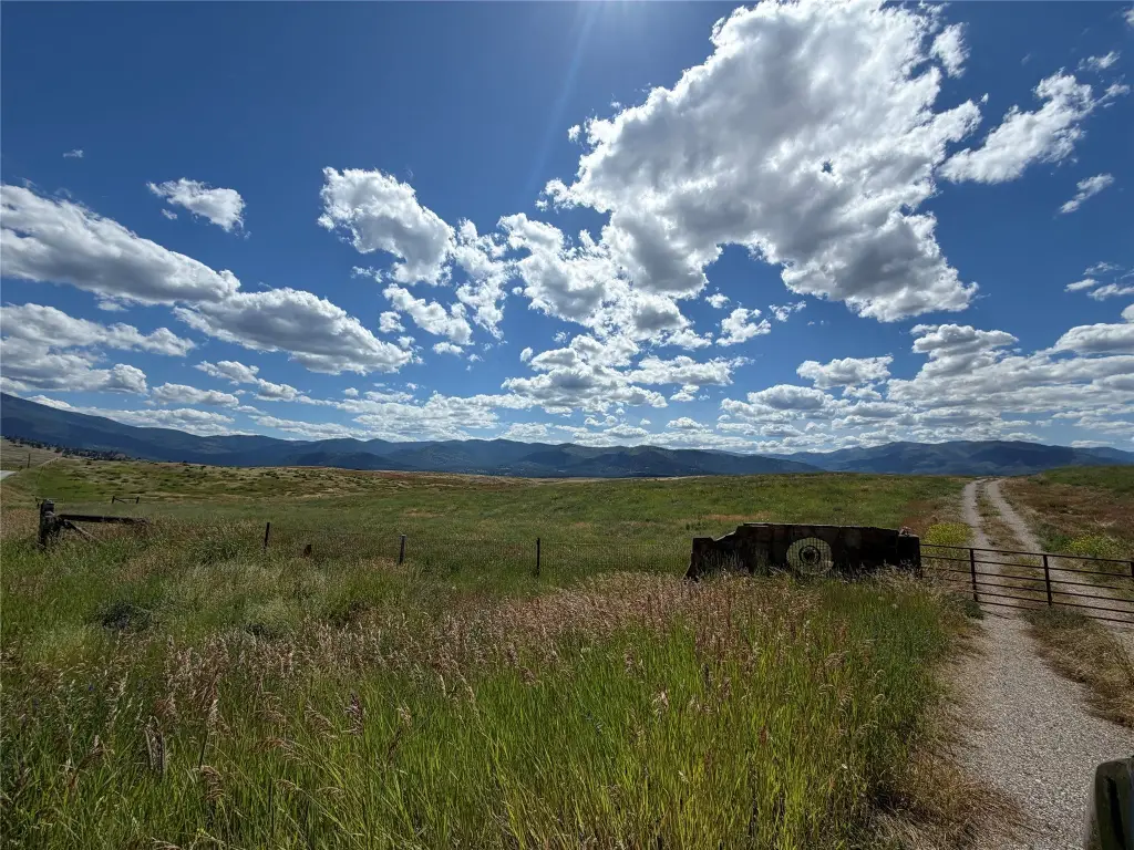
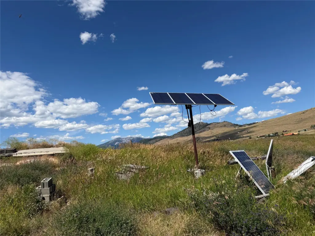
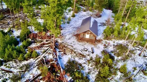
This 186.59-acre agricultural property combines open grassland, elevated benches with southern exposure, and deeper draws and ravines. Perimeter fencing and cross-fencing divide the land into four sections for rotational use. Water infrastructure includes an existing well, multiple hydrants, and gravity-fed concrete cisterns distributed across the property. A timber-framed hay storage structure is positioned on the eastern portion, and an existing foundation remains at the rear of the parcel.
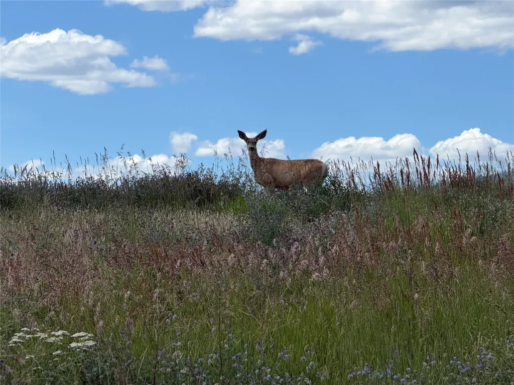
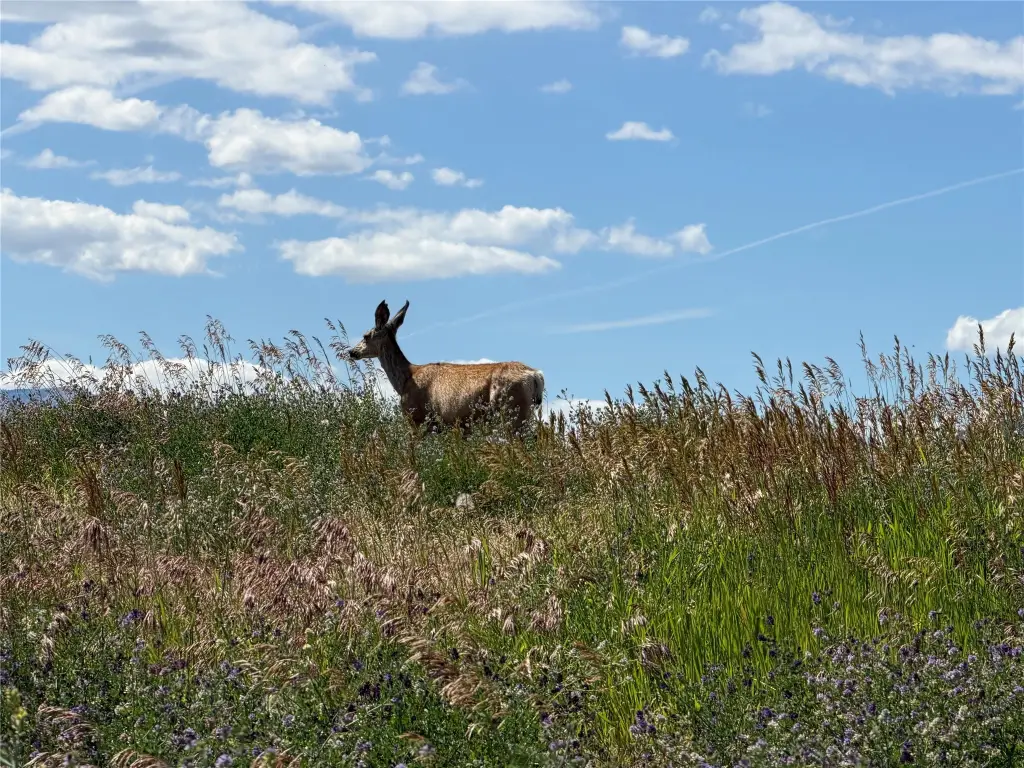
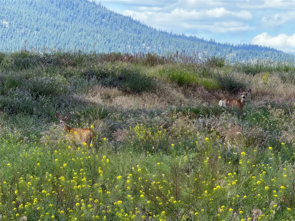
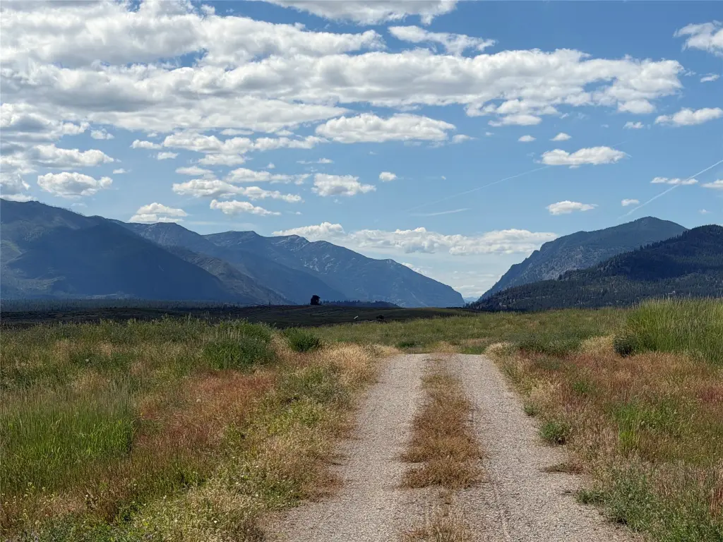
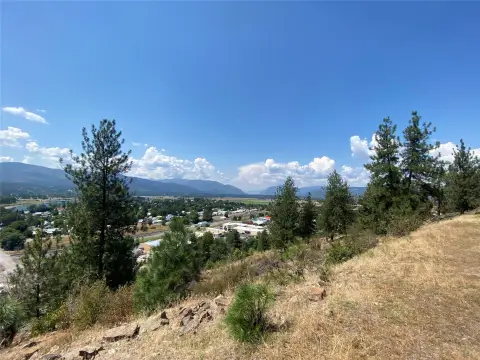
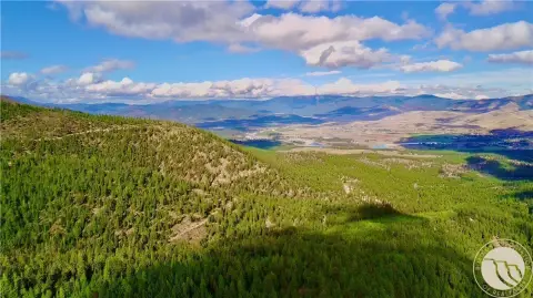
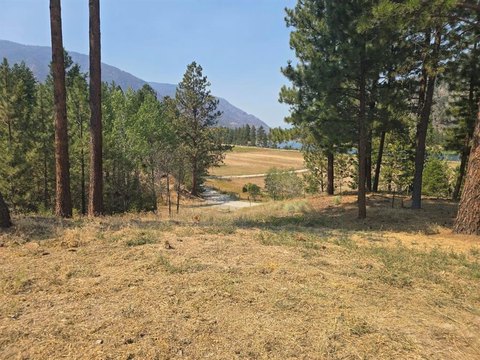
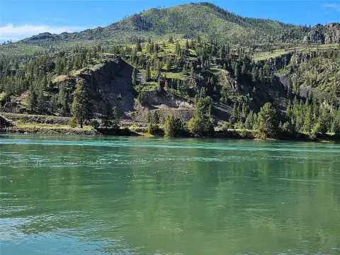
The property has full year-round accessibility from a county-maintained road and is located 2 miles from downtown Plains, Montana. Views extend toward Baldy Mountain, Pats Knobs, and the Cabinet Mountain Range. The parcel also attracts deer and other wildlife.
The property has full year-round accessibility from a county-maintained road and is located 2 miles from downtown Plains, Montana. Views extend toward Baldy Mountain, Pats Knobs, and the Cabinet Mountain Range. The parcel also attracts deer and other wildlife.
Key Highlights
- 186.59‑acre agricultural parcel in Sanders County, Montana
- Perimeter fencing and cross‑fencing create 4 sections for rotational use
- Existing well with multiple hydrants and gravity‑fed concrete cisterns
Property Analytics
Property Profile
Current Use
Lease Details
Yes
Fenced yard
Yes
Paved road access
Yes
Water rights
Location Intelligence
Trade Area within ½ mile
2
Businesses Nearby
Explore this area
Business Placement
Demographics for 59859, MT
3,683
Population
2,155
Households
1.7
Avg Household Size
52
Median Age
21%
College-Educated
92%
High-School Grad
710.8 sq mi
ZIP Area
5
Density / Sq Mi
$61,667
Median Household Income
$24,772
Median Earnings
$792
Median Rent
$403,800
Median Home Value

Questions? Ask Rey
Realmo’s AI knows this listing — price, zoning, demand, history. Ask anything.





Frequently Asked Questions
What type of property is this?
Agricultural land / Farmland - Fenced agricultural acreage with a well, water distribution, hay storage, varied terrain, and year-round accessibility.
Where is this agricultural land / farmland located?
The property is located at 49 Forder Lane Plains, MT.
What is the asking price?
The asking price for this property is $799,000.
What are key features of this property?
This property features: 186.59‑acre agricultural parcel in Sanders County, Montana; Perimeter fencing and cross‑fencing create 4 sections for rotational use; Existing well with multiple hydrants and gravity‑fed concrete cisterns


