Wooded Highway
For Sale
$110,000
Highway 45 Tupelo, Tupelo, MS 38804
Land, Tupelo, MS
Property SizeContact for details
Lot Size11.60 Acres
Days on Market15
Property Features for Highway 45 Tupelo
General Information
Property type
Land
Property subtype
Other
High school district
000000
Directions
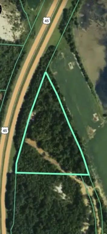
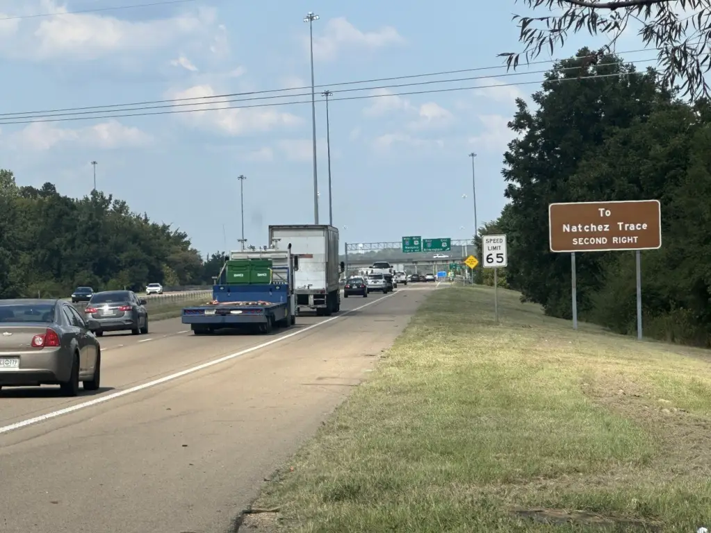
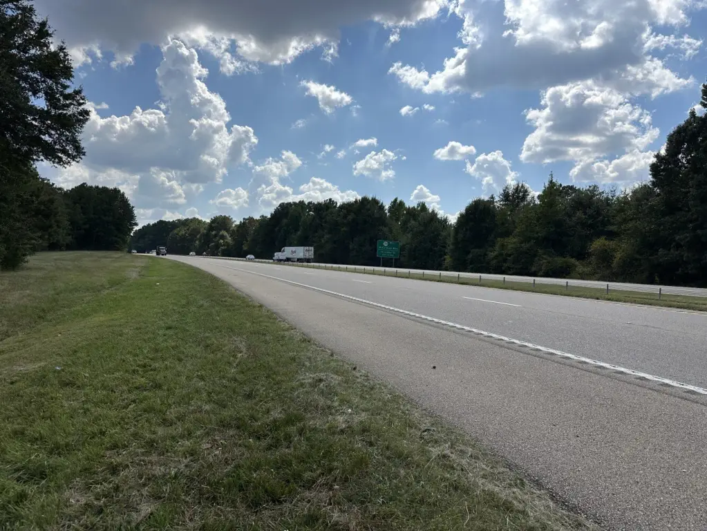
-From Tupelo, travel north on US Highway 45 toward the I-22 interchange. The property is located along the east side of US Highway 45, just south of the I-22/US Highway 45 interchange in Tupelo. Property has highway visibility; MDOT controls all access rights along US Highway 45.
Standard status
Active
APN
084U-19-012-00
Lot size
11.60 Acres
Listing Agency:
National Land Realty, Gulf Coast
(855) 657-5263
Listed By:
Levoy Norris
855-NLR-LAND
Added: Sep 8
Changed: Sep 20
Last Checked: Sep 22 at 4:06PM
MLS# 11993005
Copyright © 2026 My State MLS. All rights reserved. All information provided by the listing agent/broker is deemed reliable but is not guaranteed and should be independently verified.
Investment Insights
Based on property information with market context.
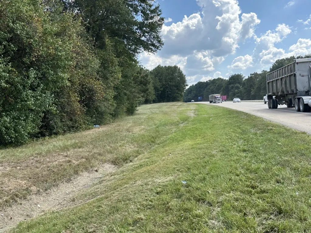
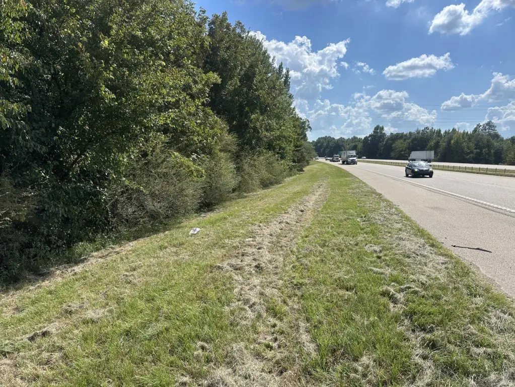
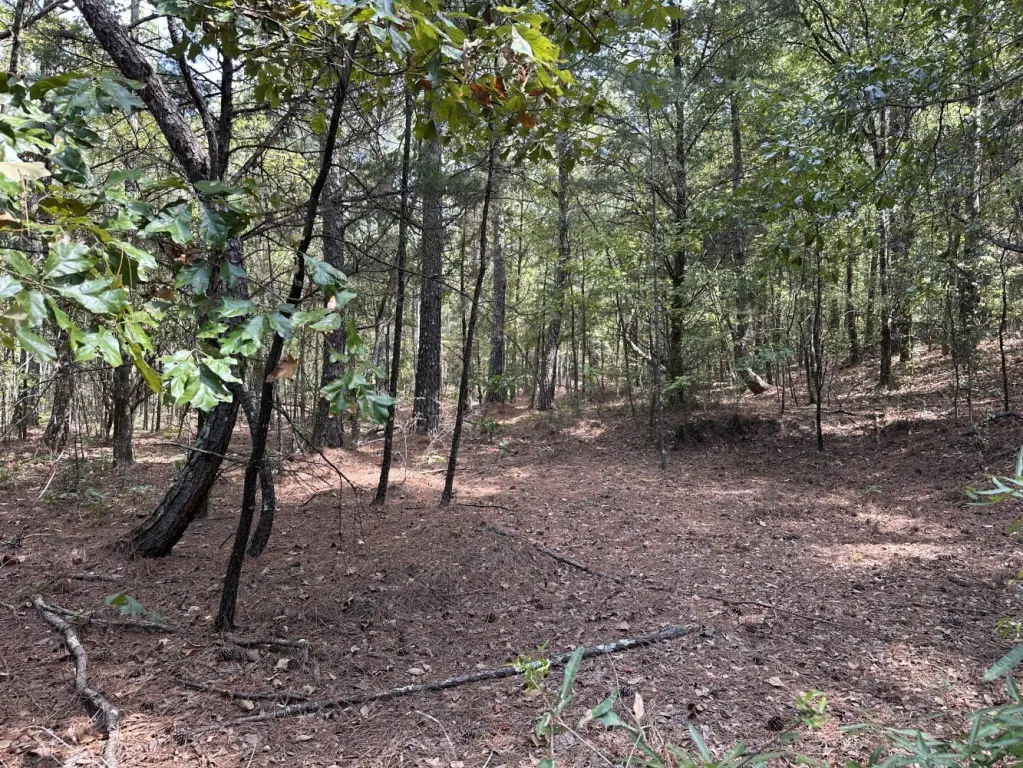
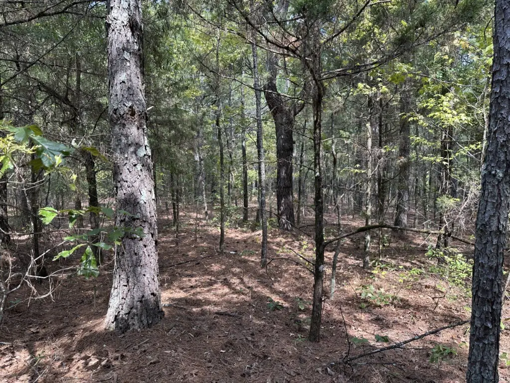
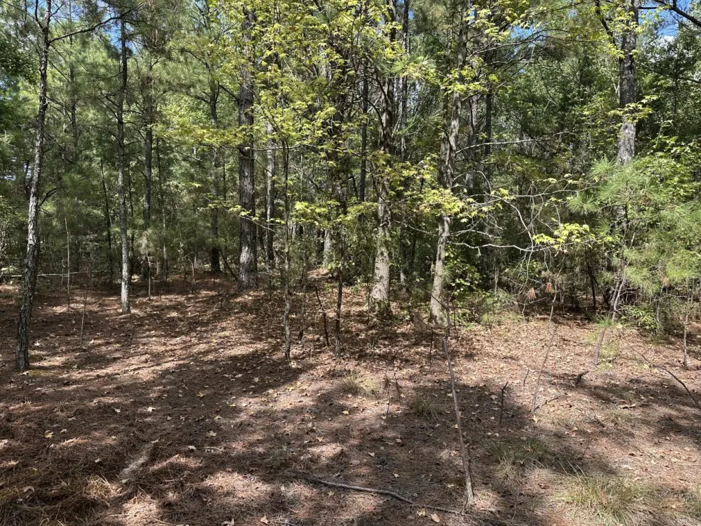
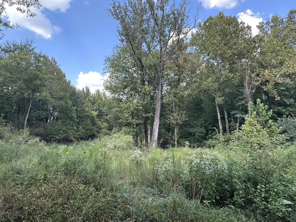
This 11.6-acre land tract in Lee County is primarily wooded, with gently rolling terrain ranging from approximately 262 to 308 feet in elevation and an average slope of approximately 5.3%. The property may include marketable timber and offers recreational characteristics alongside potential future land-use flexibility.
Approximately 1,150 feet of the property boundary follows US Highway 45, positioning the tract just south of the I-22 and US Highway 45 interchange and near Tupelo businesses, shopping, and other amenities. Highway 45 visibility is present, but MDOT controls access rights along the boundary, and no direct vehicular access from the highway is represented.
Available mapping places approximately 4.51 acres within the 1% annual flood hazard area and approximately 4.09 acres within mapped wetlands; these areas may overlap and are not additive. Legal access, utilities, zoning, environmental boundaries, timber value, and intended-use suitability require independent verification.
Approximately 1,150 feet of the property boundary follows US Highway 45, positioning the tract just south of the I-22 and US Highway 45 interchange and near Tupelo businesses, shopping, and other amenities. Highway 45 visibility is present, but MDOT controls access rights along the boundary, and no direct vehicular access from the highway is represented.
Available mapping places approximately 4.51 acres within the 1% annual flood hazard area and approximately 4.09 acres within mapped wetlands; these areas may overlap and are not additive. Legal access, utilities, zoning, environmental boundaries, timber value, and intended-use suitability require independent verification.
Key Highlights
- 11.6 acres of primarily wooded land in Lee County
- Approximately 1,150 feet of property boundary along US Highway 45
- Just south of the I‑22 and US Highway 45 interchange
Property Analytics
Unlock full access to Insights
Subscribe to Realmo Intelligence
Open Analytics
Current Use
Location Intelligence
Trade Area within ½ mile
209
Businesses Nearby
Explore this area
Business Placement
Demographics for 38804, MS
17,314
Population
7,978
Households
2.2
Avg Household Size
40
Median Age
30%
College-Educated
87%
High-School Grad
78.5 sq mi
ZIP Area
221
Density / Sq Mi
$63,837
Median Household Income
$37,416
Median Earnings
$858
Median Rent
$201,600
Median Home Value
Check the figures for this property
Cap Rate, Value Estimation, Potential NOI and more
View Realmo Analytics

Questions? Ask Rey
Realmo’s AI knows this listing — price, zoning, demand, history. Ask anything.
Frequently Asked Questions
What type of property is this?
Land - Wooded acreage near the I-22 and US Highway 45 interchange with rolling terrain and mapped flood hazard and wetland areas.
Where is this land located?
The property is located at Highway 45 Tupelo Tupelo, MS.
What is the asking price?
The asking price for this property is $110,000.
What are key features of this property?
This property features: 11.6 acres of primarily wooded land in Lee County; Approximately 1,150 feet of property boundary along US Highway 45; Just south of the I‑22 and US Highway 45 interchange


