Waterfront Hunting & Recreation
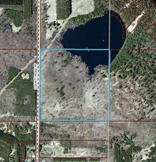
40.00 AC County Road FF Hancock, WI 54943


For Sale
$400,000
LAND - Hancock, WI
Lot Size40.00 Acres
Days on Market62
Property Features for 40.00 AC County Road FF
General Information
Property type
Land
Property subtype
Other
Zoning
AG1
Standard status
Active
APN
012-01414-0000
Lot size
40.00 Acres
Taxes and HOA fees
Tax Year
2025
Tax Description
SE 1/4 OF NE 1/4 LESS NORQUIST DEER LAKE
Tax Annual Amount
380
Utilities
Sewer type
None
Water source
Well Needed, None
Water front features
Pond, Lake, Waterfront
Water front
1
Listing Agency:
Restaino & Associates
(608) 833-7777
Listed By:
Matt Silvern · License #83237-94
(608) 332-7565
Added: May 29
Changed: Jul 28
Last Checked: Jul 29 at 11:06PM
MLS# 2006825
Copyright © 2026 REALTORS® Association of South Central Wisconsin. All rights reserved. All information provided by the listing agent/broker is deemed reliable but is not guaranteed and should be independently verified.
Investment Insights
Based on property information with market context.
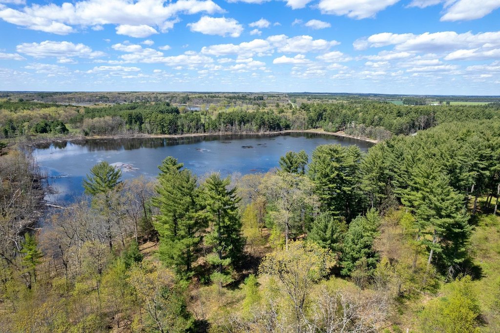
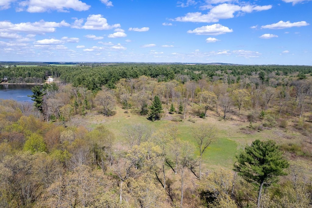
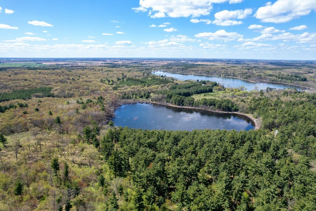
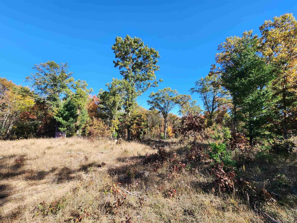
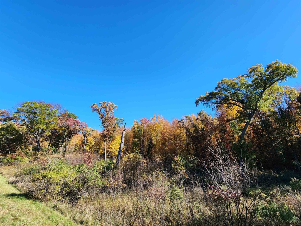
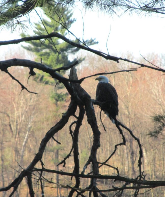
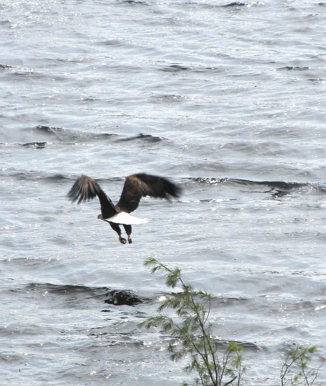
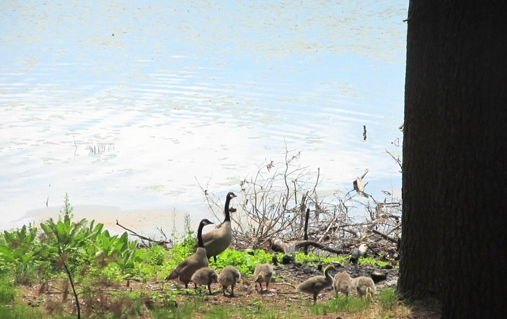
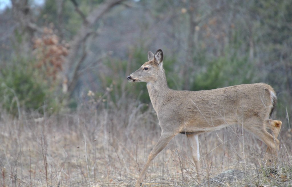
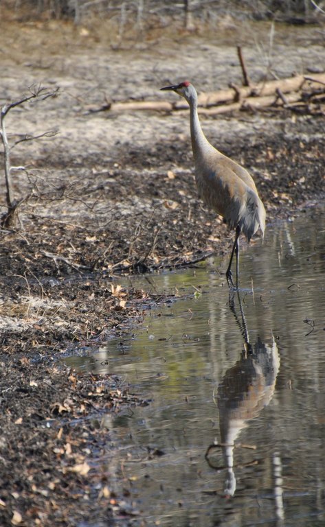
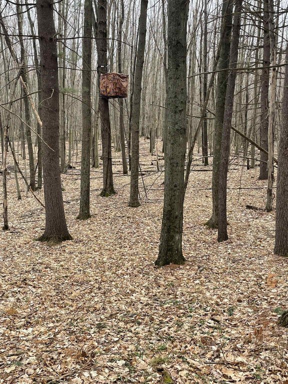
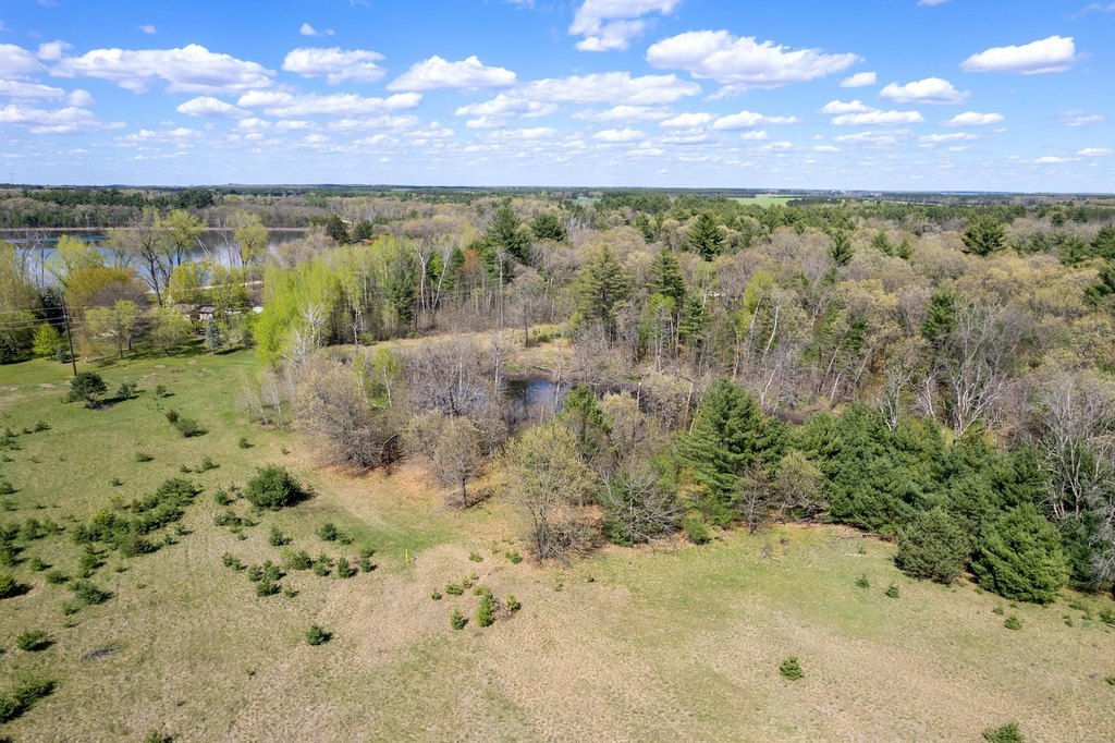
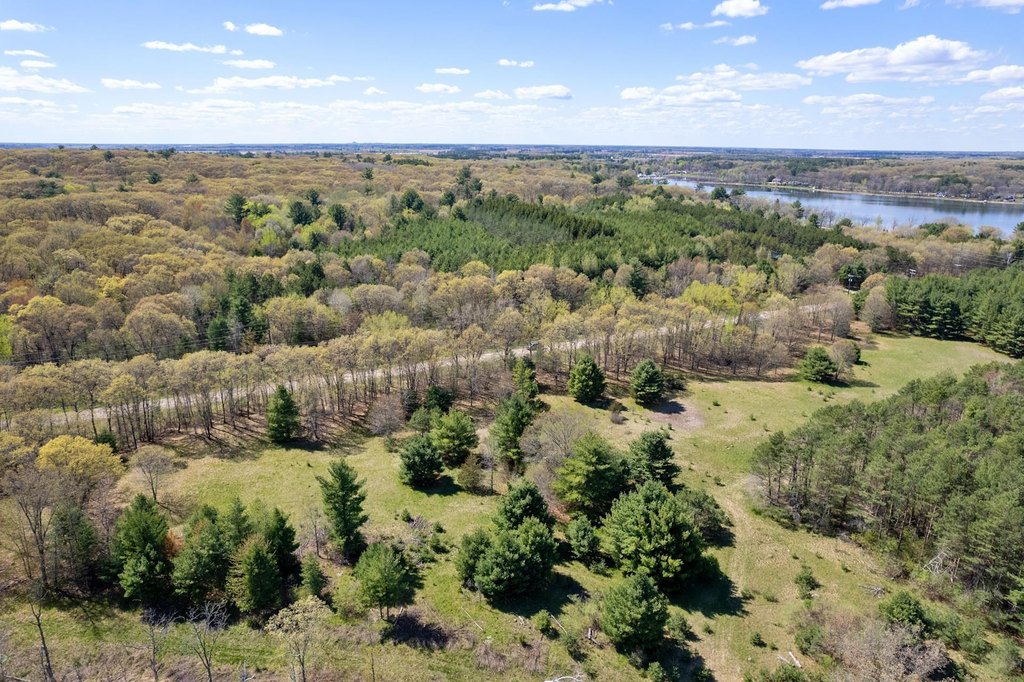
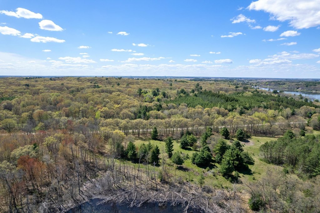
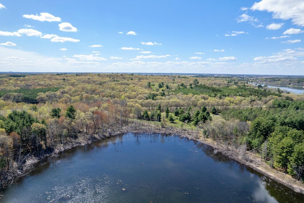
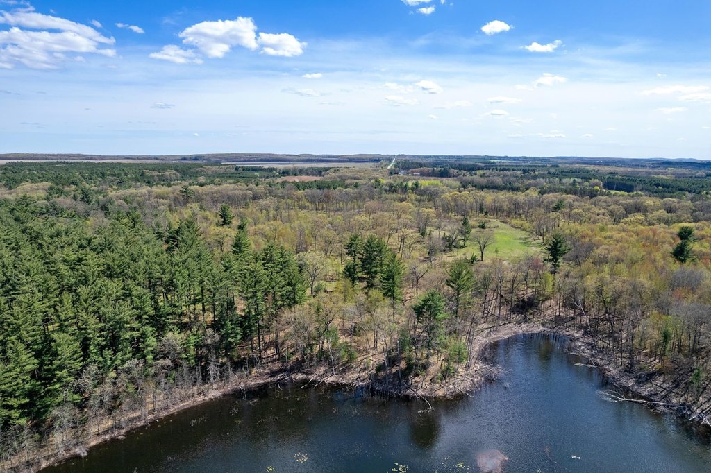
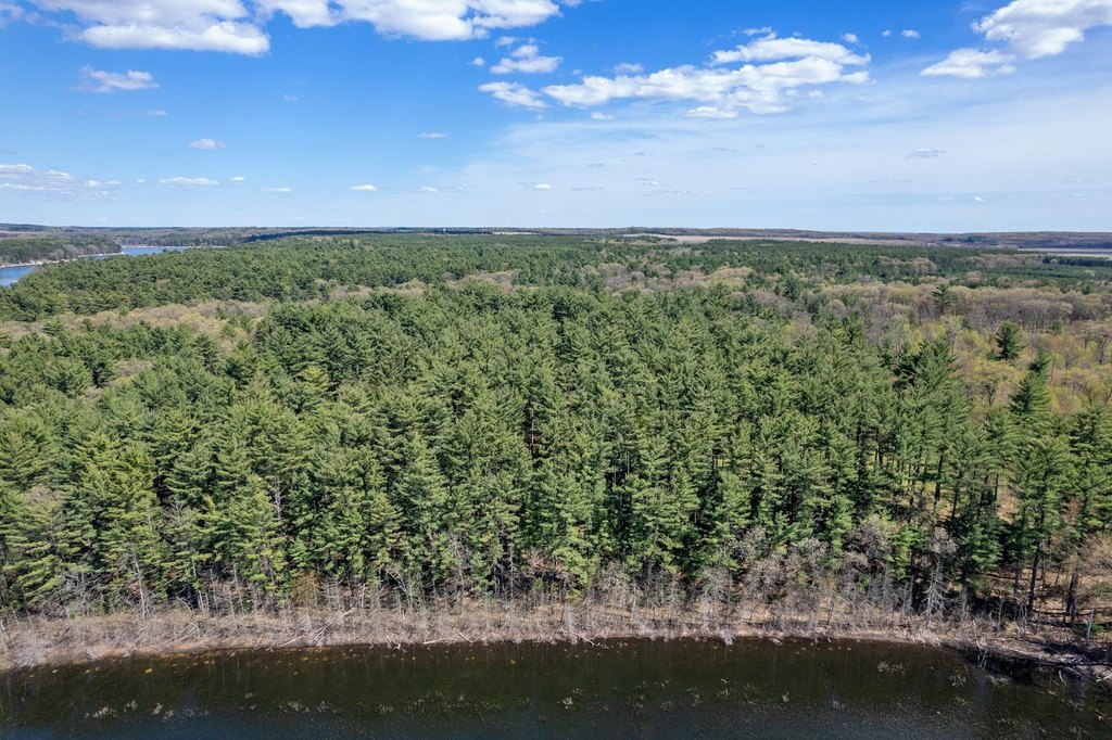
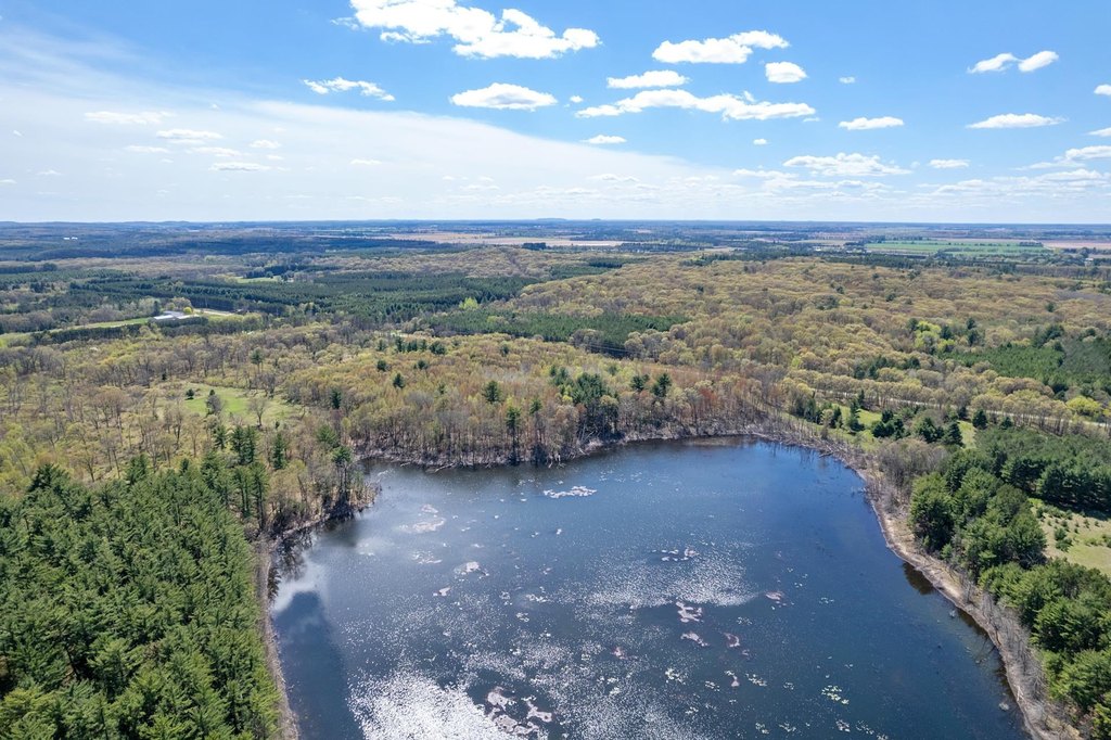
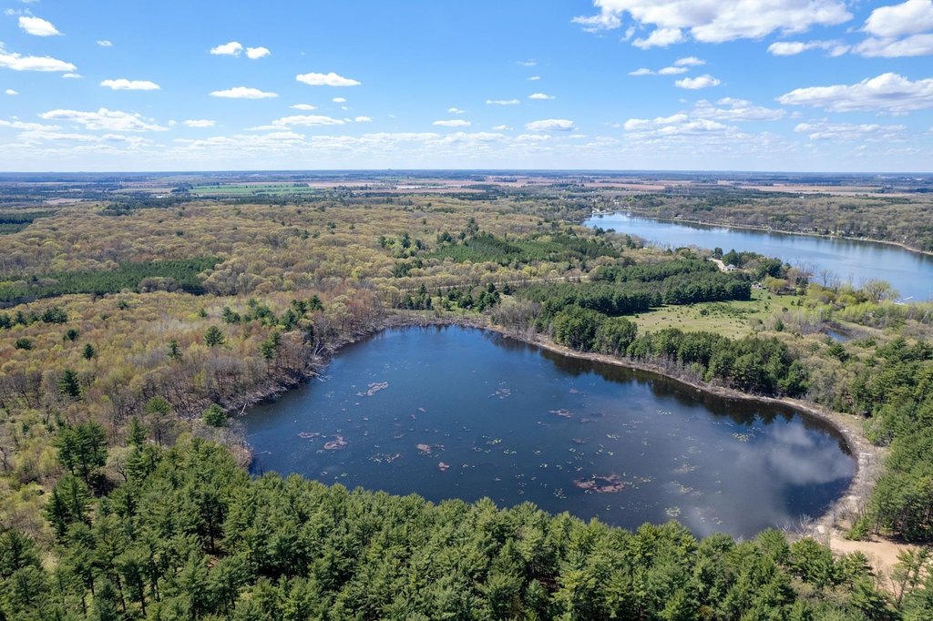
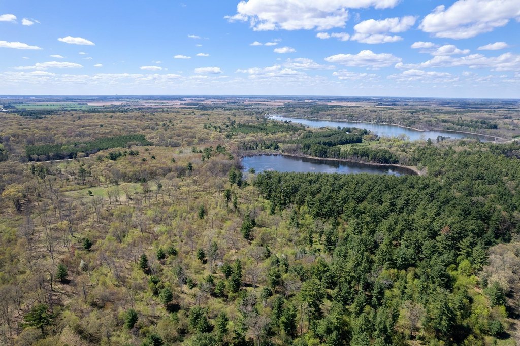
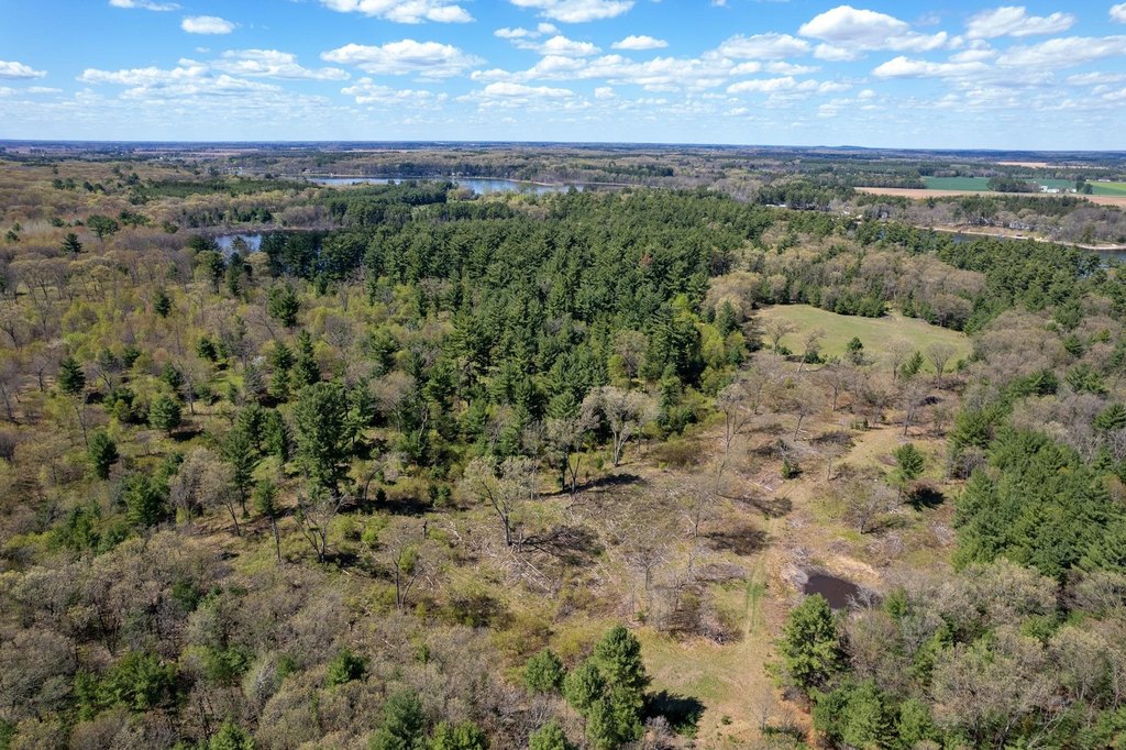
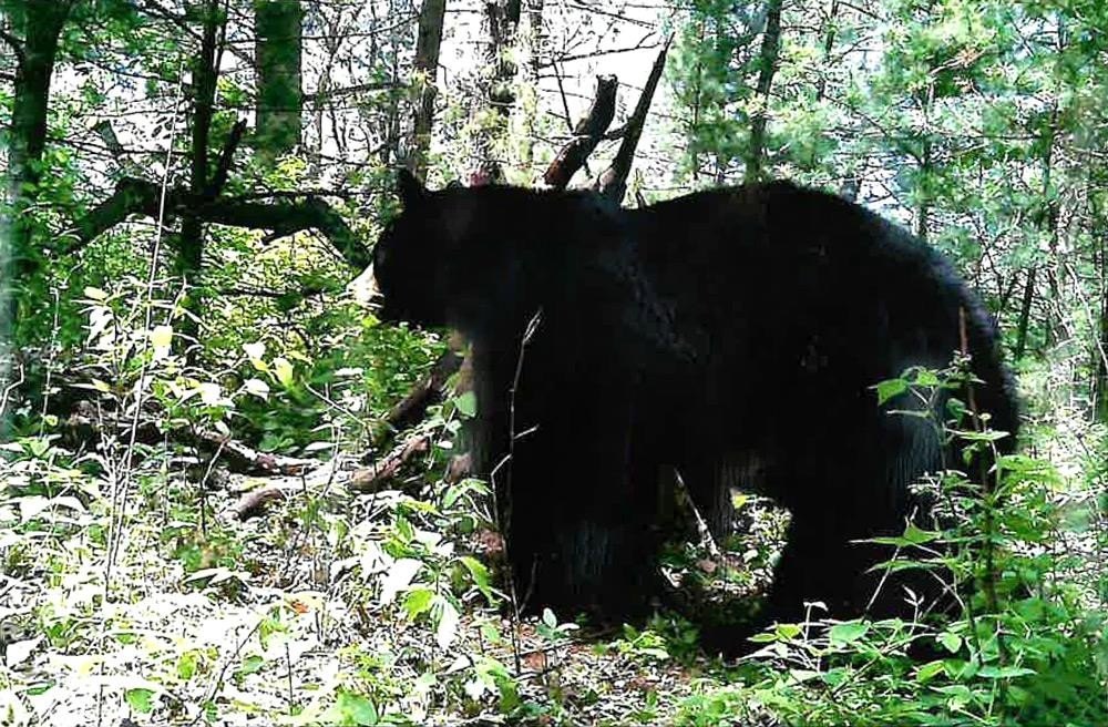
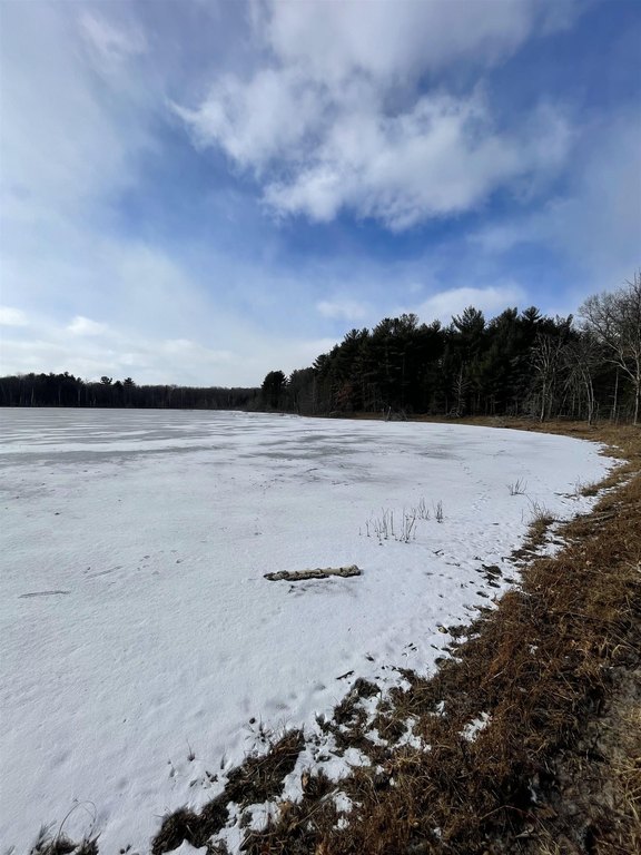
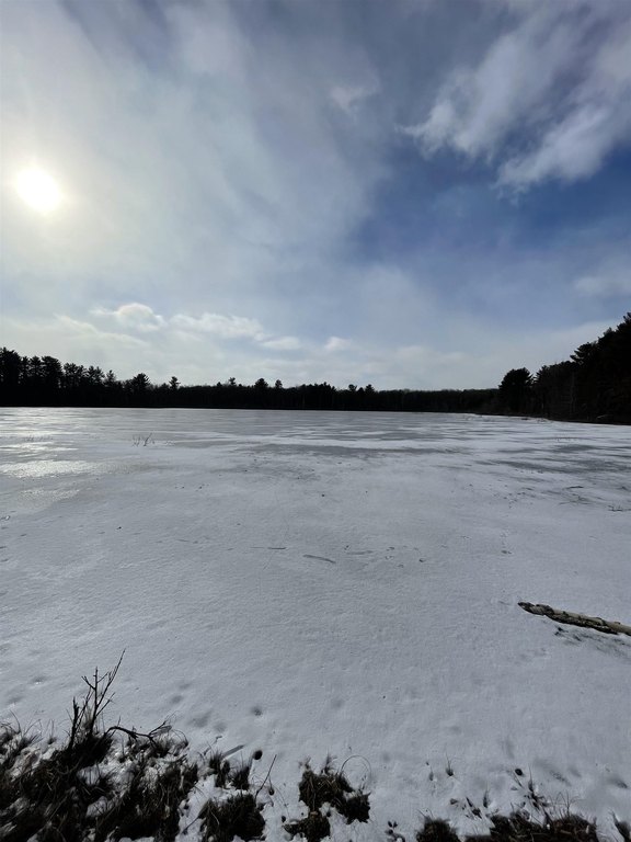
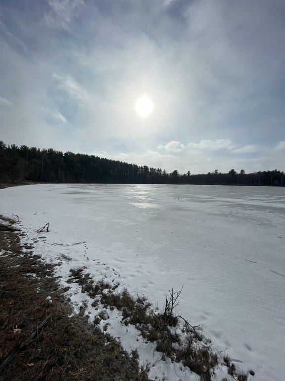
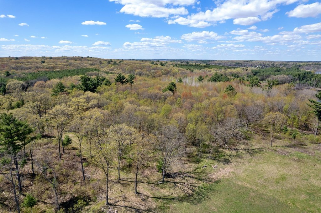
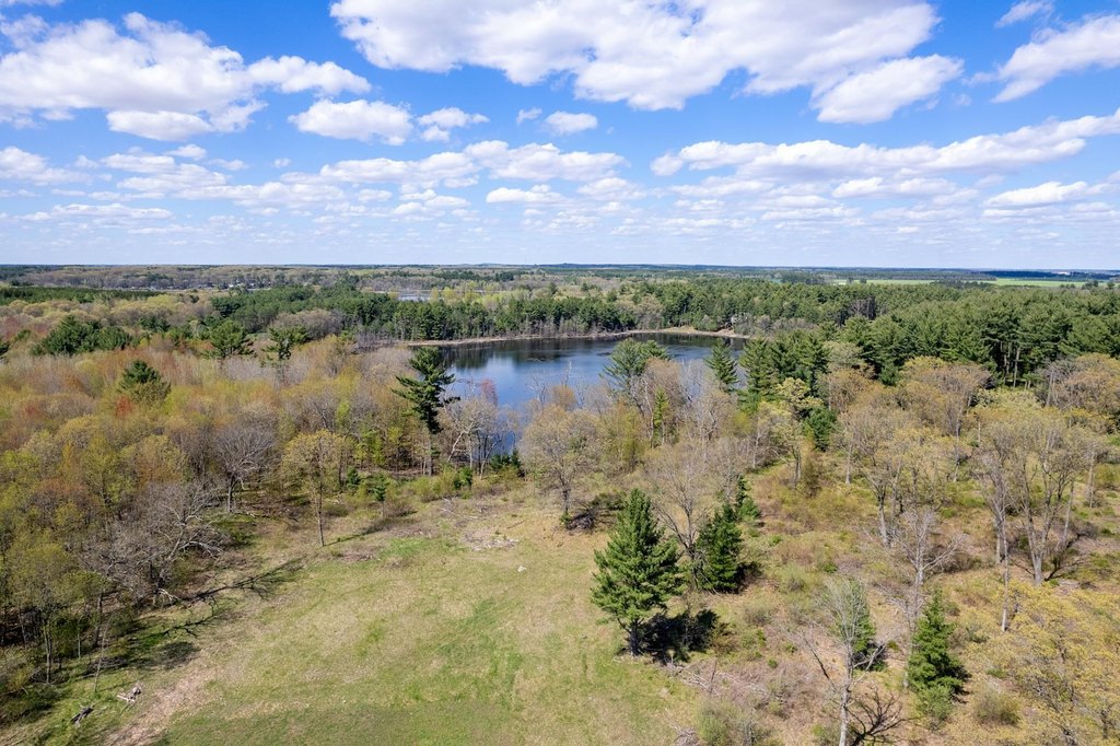
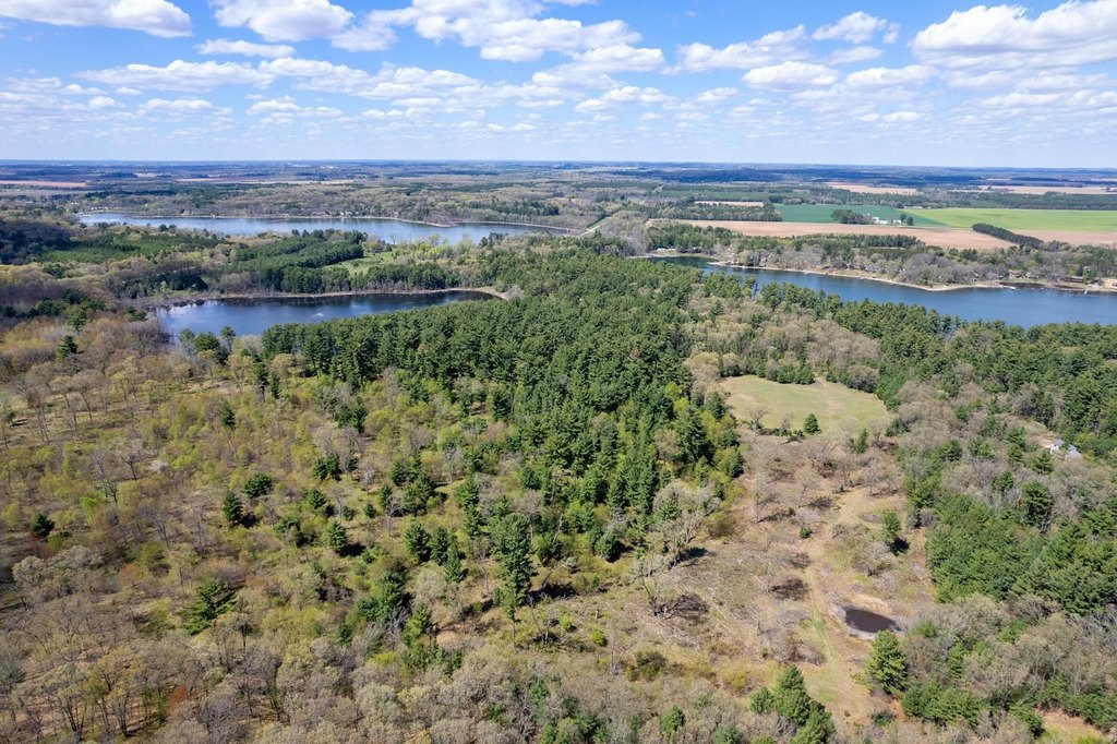
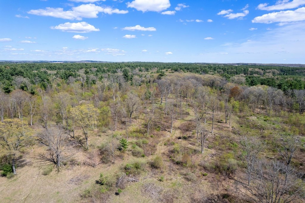
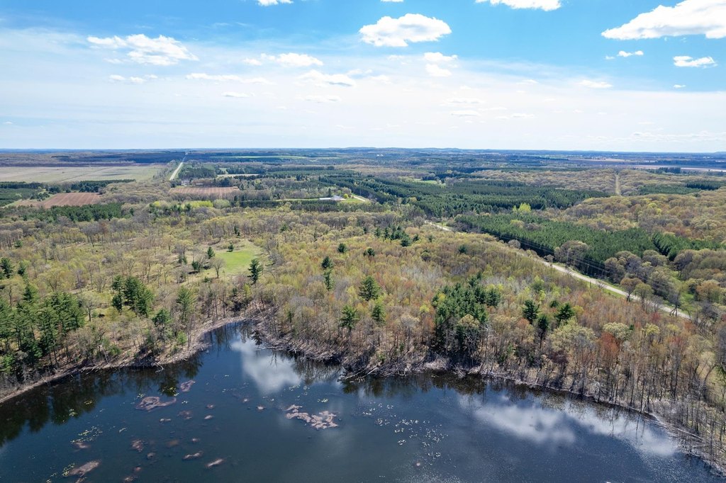
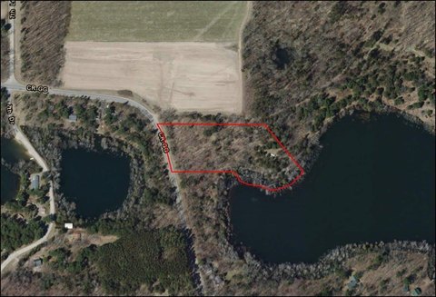
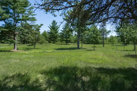
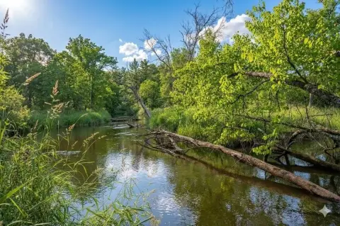
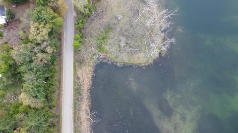
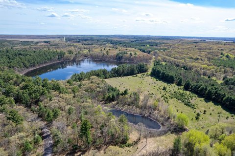
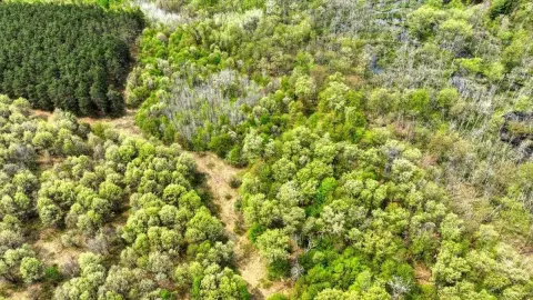
This 40-acre AG1-zoned property is suited for outdoor recreation and has a mix of woodlands, wetlands, and food plots. The land includes approximately 1,200+/- feet of frontage on private Deer Lake and is described as offering habitat for deer, bear, waterfowl, and eagles, along with opportunities for crappie/bluegill fishing.
The property is located in western Waushara County with an address on County Road FF in Hancock, WI 54943. The listing notes that offers may be considered for this 40-acre parcel alone, as well as the adjacent 40-acre parcel (012-01411-0100) and/or the 49.79-acre parcels (012-01323-0000 and 012-01352-0110).
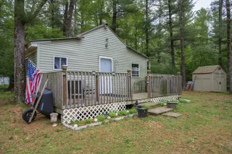
The seller indicates the property can be used to build a home or a hunting lodge, with the lake frontage and on-site cover designed to support a recreation-focused setting.
The property is located in western Waushara County with an address on County Road FF in Hancock, WI 54943. The listing notes that offers may be considered for this 40-acre parcel alone, as well as the adjacent 40-acre parcel (012-01411-0100) and/or the 49.79-acre parcels (012-01323-0000 and 012-01352-0110).
The seller indicates the property can be used to build a home or a hunting lodge, with the lake frontage and on-site cover designed to support a recreation-focused setting.
Key Highlights
- 40‑acre parcel with mixed woodlands and wetlands
- Approximately 1,200 +/- feet of frontage on private Deer Lake
- Waterfront features include lake, waterfront, and pond
Property Analytics
Property Profile
Location Intelligence
Current Use


Frequently Asked Questions
What type of property is this?
Hunting land - 40-acre AG1 parcel with mixed woodlands, wetlands, food plots, and approximately 1,200+/- feet of lake frontage.
Where is this hunting land located?
The property is located at 40.00 AC County Road FF Hancock, WI.
What is the asking price?
The asking price for this property is $400,000.
What are key features of this property?
This property features: 40‑acre parcel with mixed woodlands and wetlands; Approximately 1,200 +/- feet of frontage on private Deer Lake; Waterfront features include lake, waterfront, and pond