3385 County Road 5615, Bunker, MO 63629
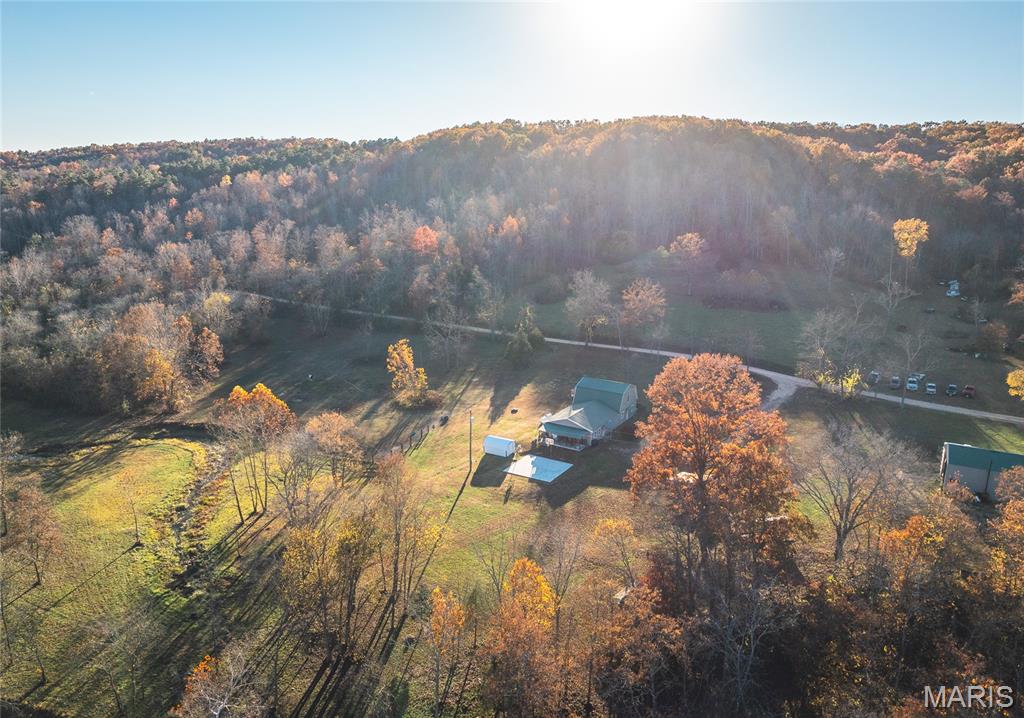
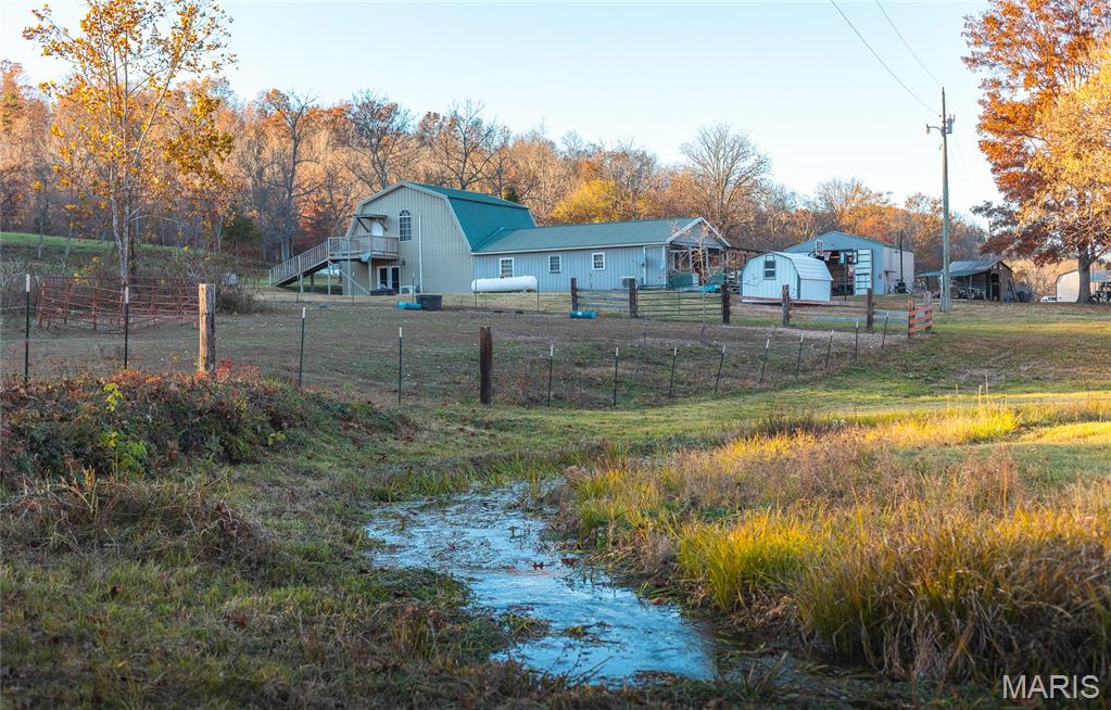
Homestead land with a certified high-capacity natural spring, private creek frontage, and a 4-bedroom home with detached shop.
- Added:
- May 5, 2026
- Days on Market:
- 54
- Last Refresh:
- Jun 27 at 2:18 am
Property Features for 3385 County Road 5615
General Information
- Standard status
- Active
- Size
- 2,730 SF
- Property subtype
- Farm
Listing office Whitaker Marketing Group (515) 996-5263
Listing date May 5, 2026
Source Exprealty
Displayed information is deemed reliable but is not guaranteed and should be independently verified.
All listing content including descriptions, pricing, images are the copyrighted material of Whitaker Marketing Group
HighLights
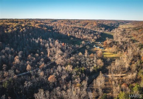
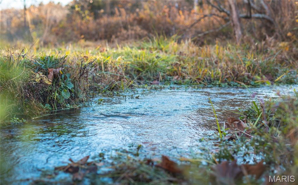
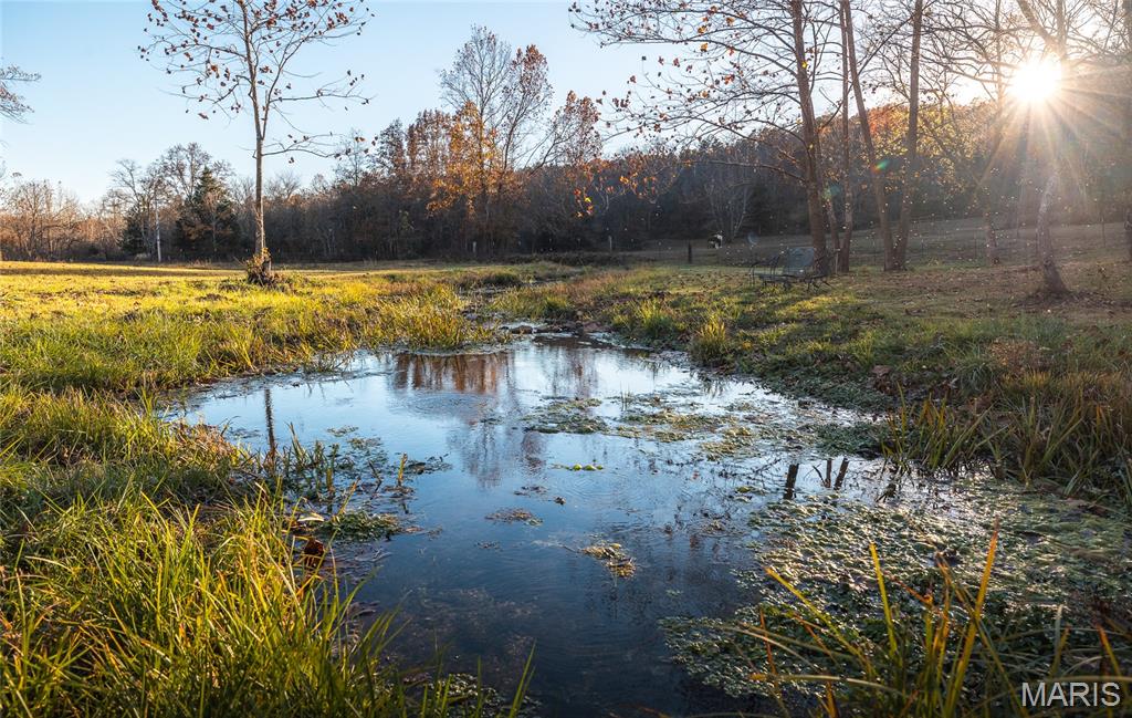
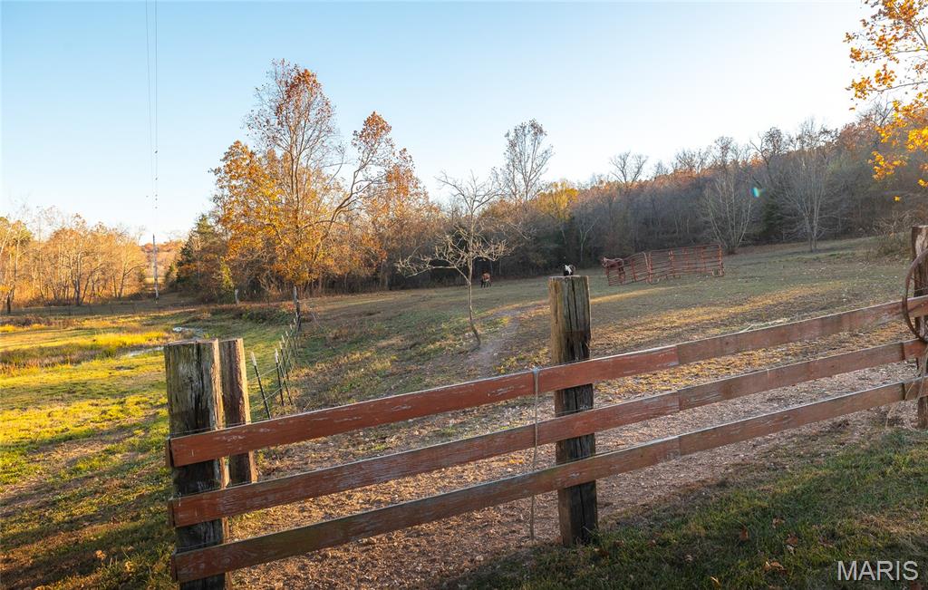
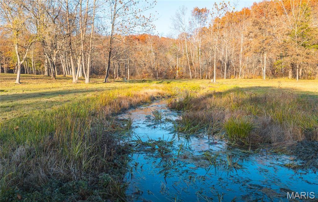
- Verified 900 GPM natural spring certified by the Missouri Department of Natural Resources
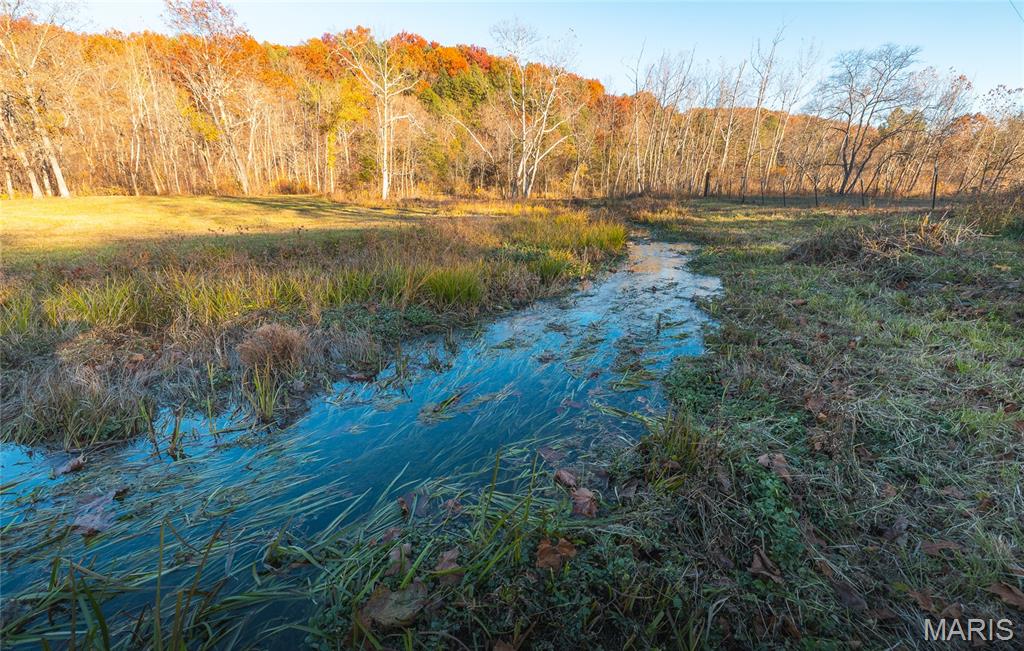
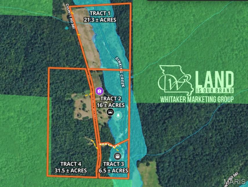
- Spring produces 1.3+ million gallons of water per day and feeds a private section of Sinking Creek
- Over half a mile of Sinking Creek frontage for fishing, wading, or private waterfront use
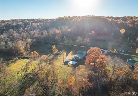
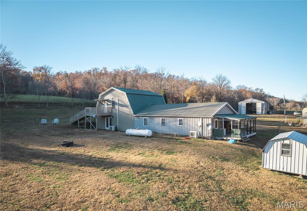
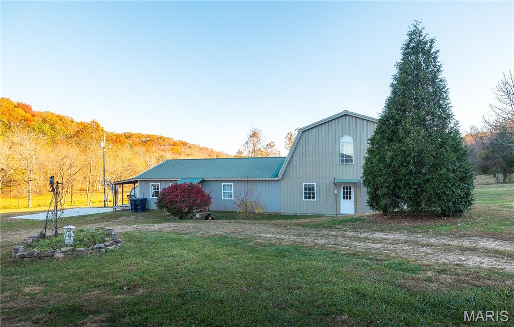
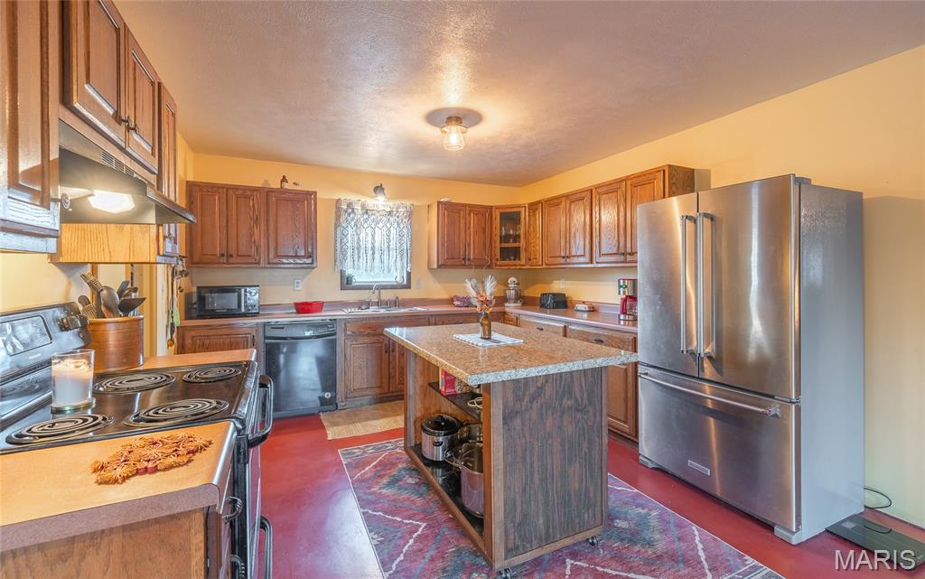
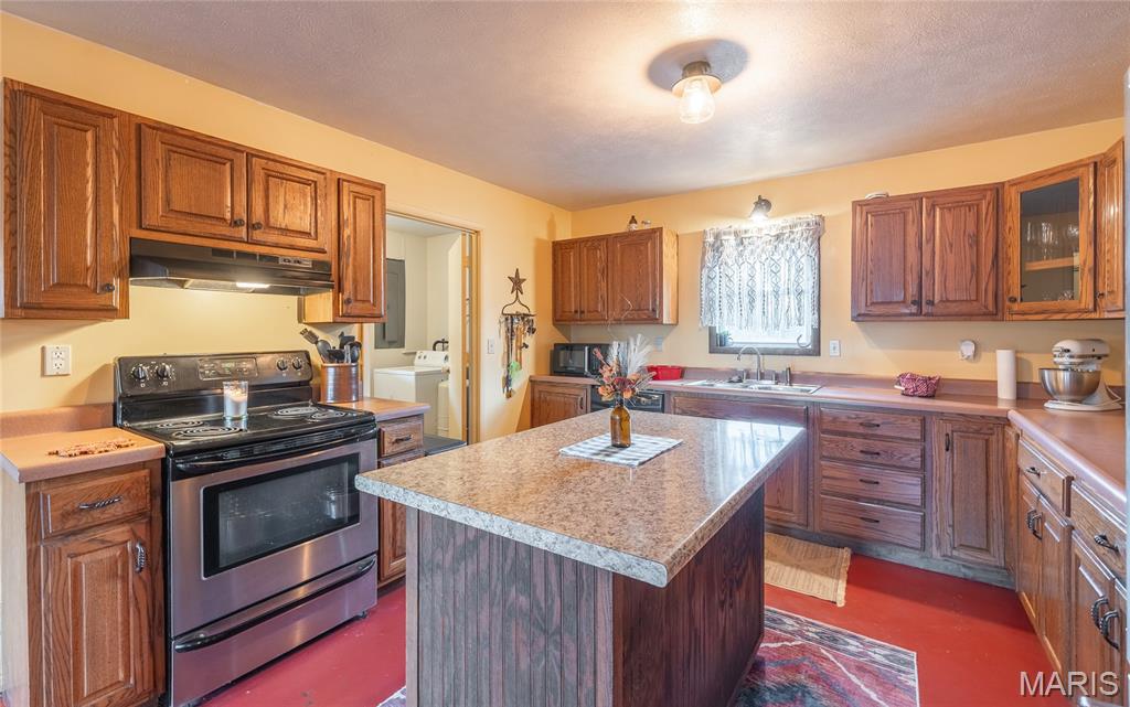
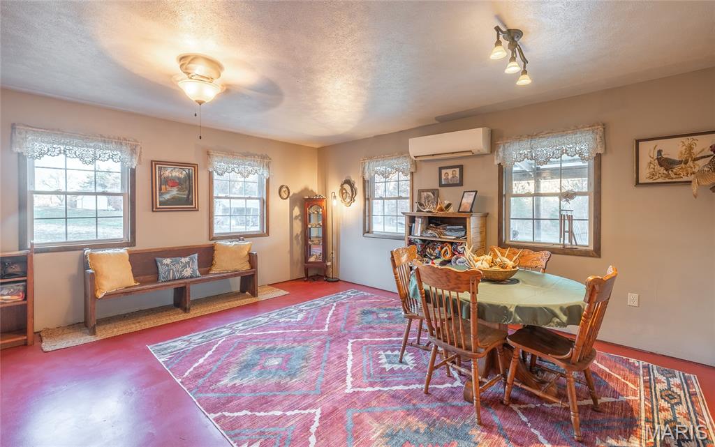
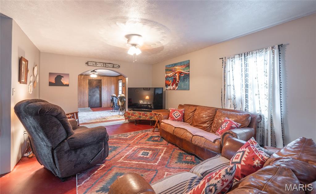
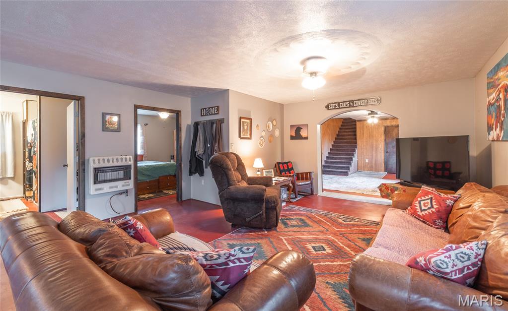
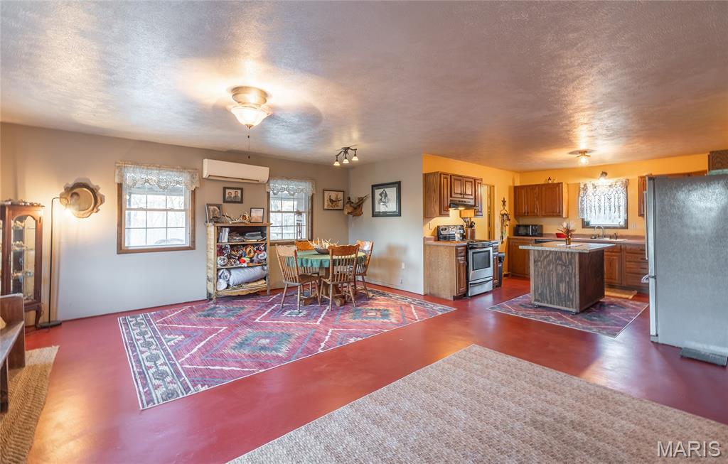
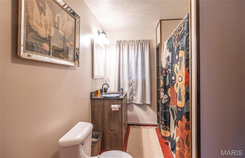
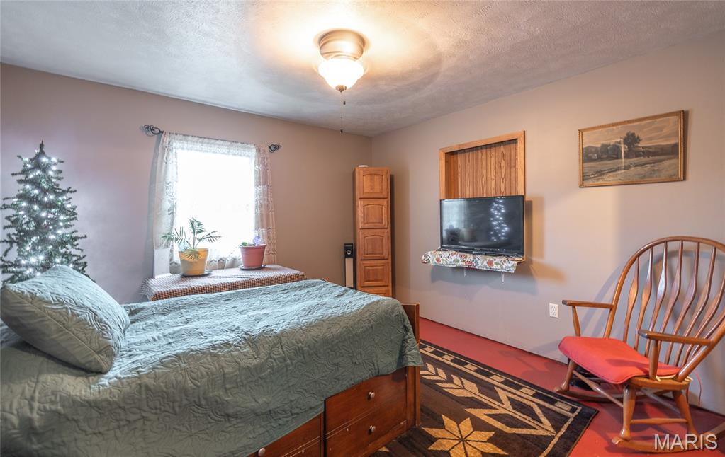
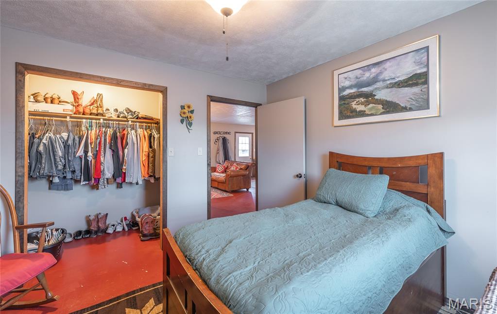
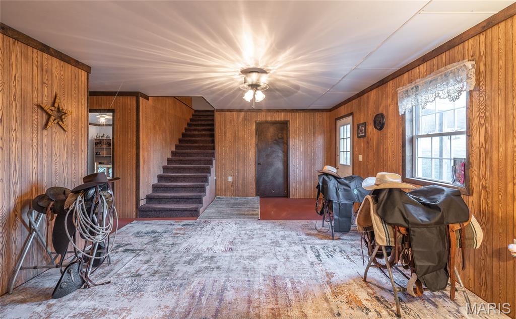
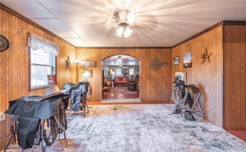
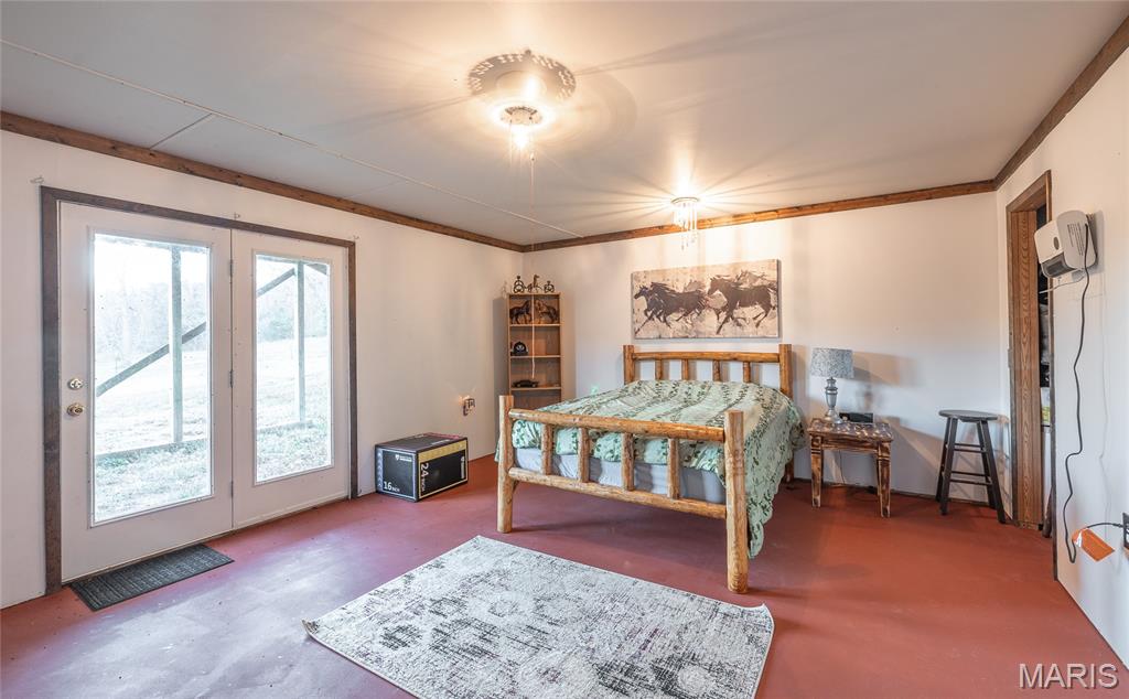
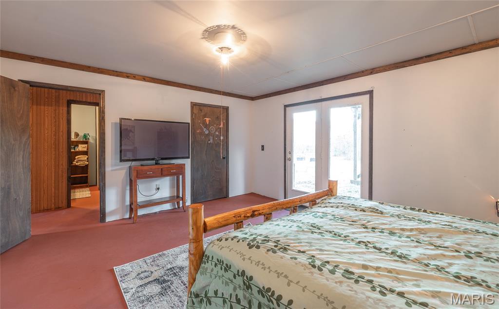
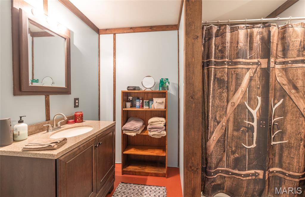
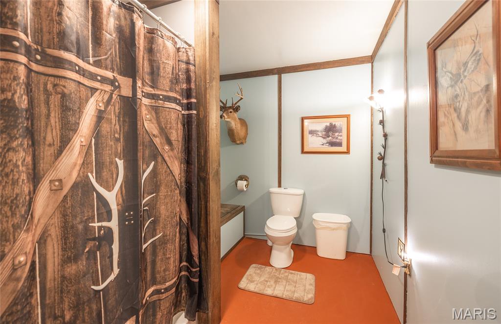
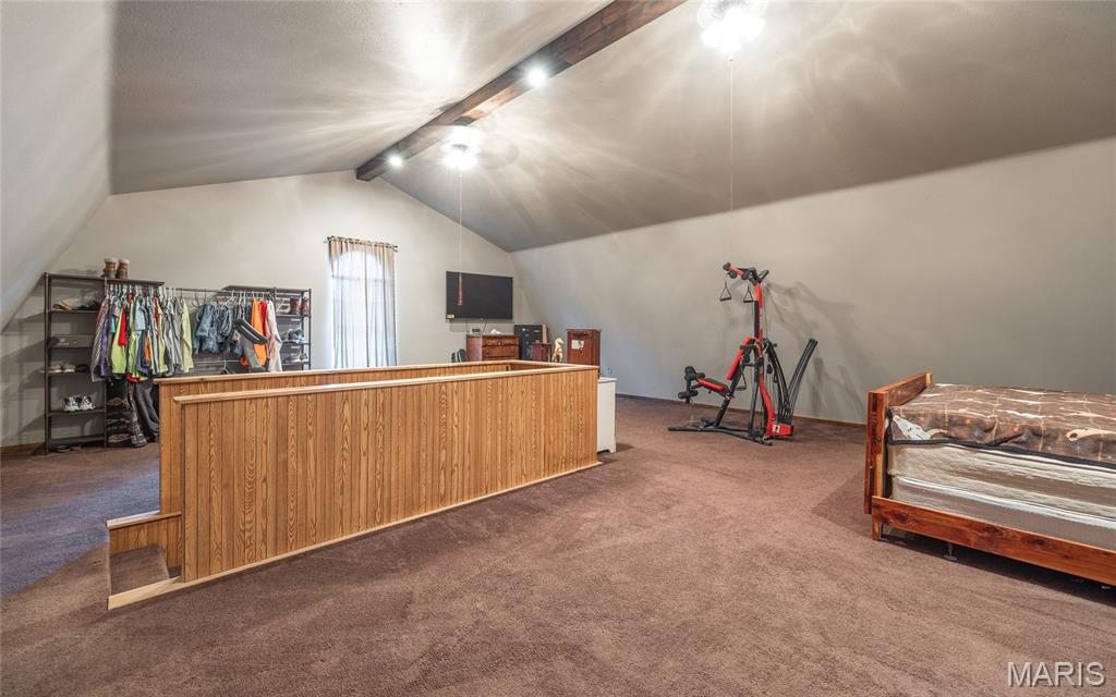
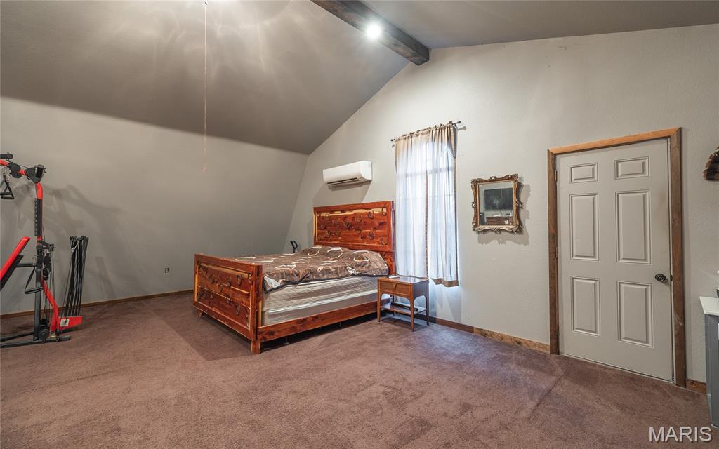
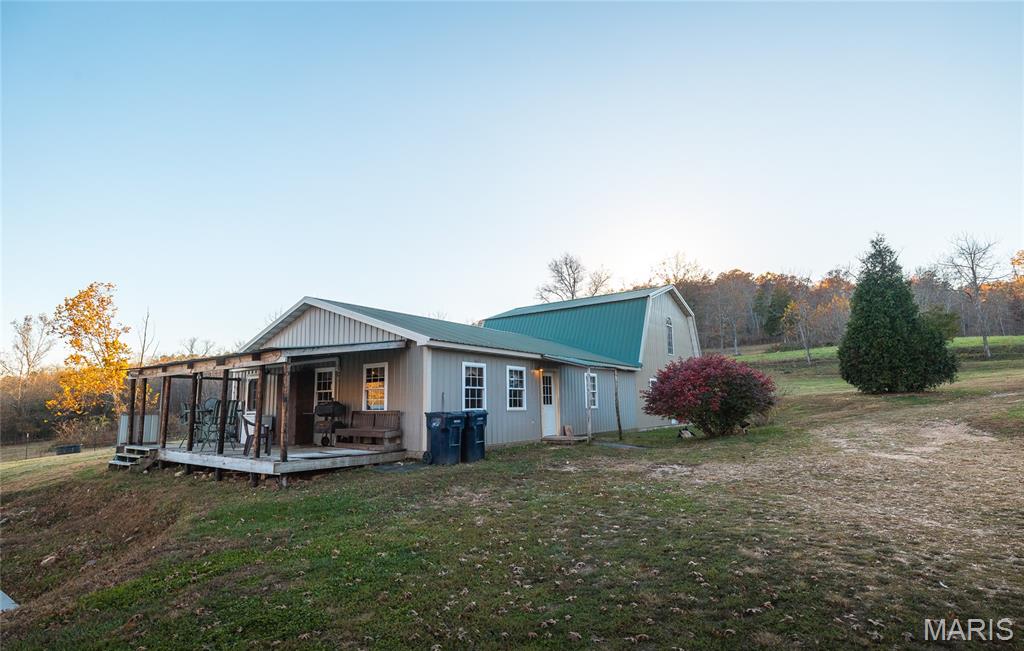
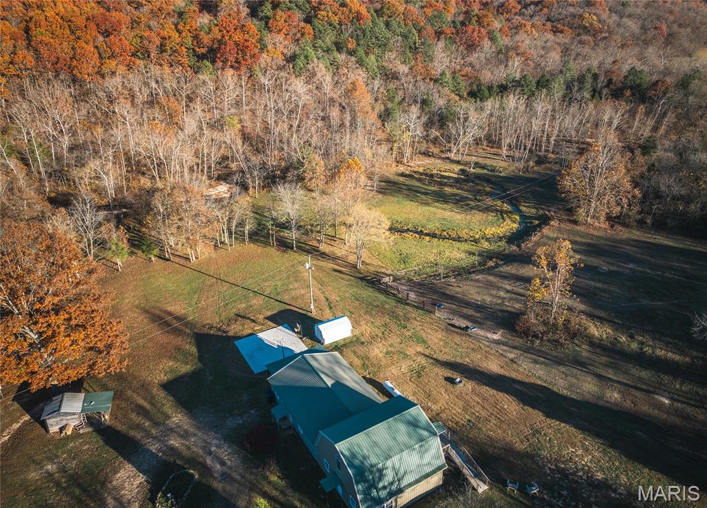
- 3,300 SF home with 4 bedrooms and 2 full baths plus an open‑concept design
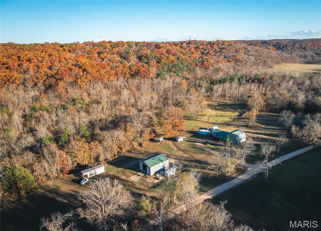
- Home features concrete floors and a 30' x 40' detached garage/shop for projects or storage
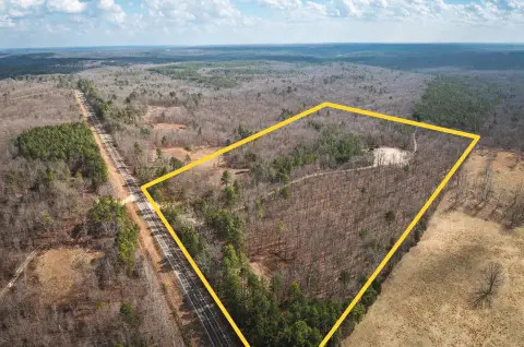
- No restrictive covenants or zoning limitations (home and land use flexibility)
Overview
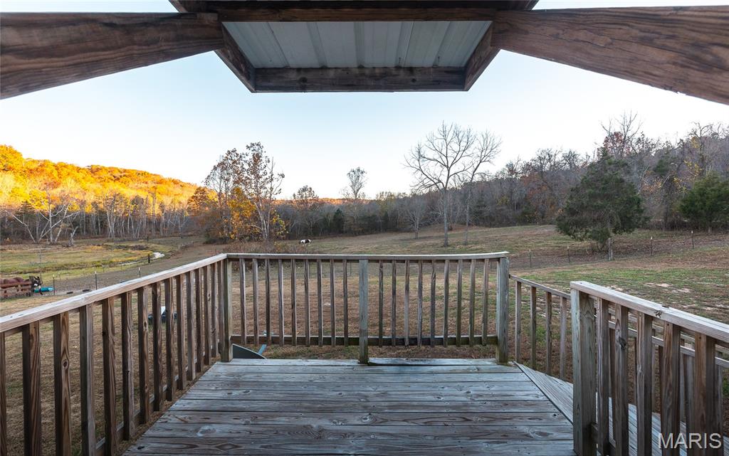
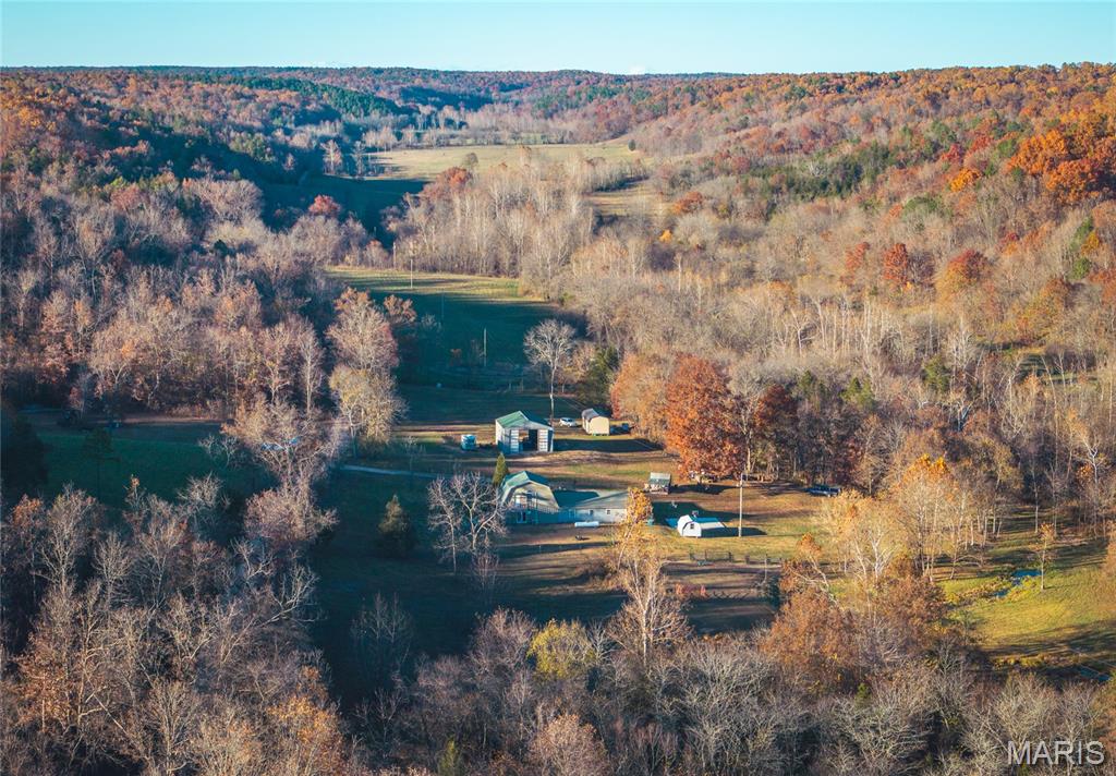
The property is described as directly adjacent to thousands of acres of Mark Twain National Forest, with access from the yard into the public forest. The sellers also note a campsite located where the spring meets the creek. The property is presented as having no restrictive covenants or zoning limitations.
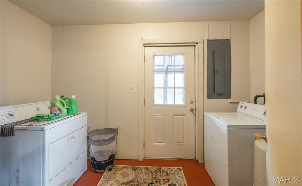
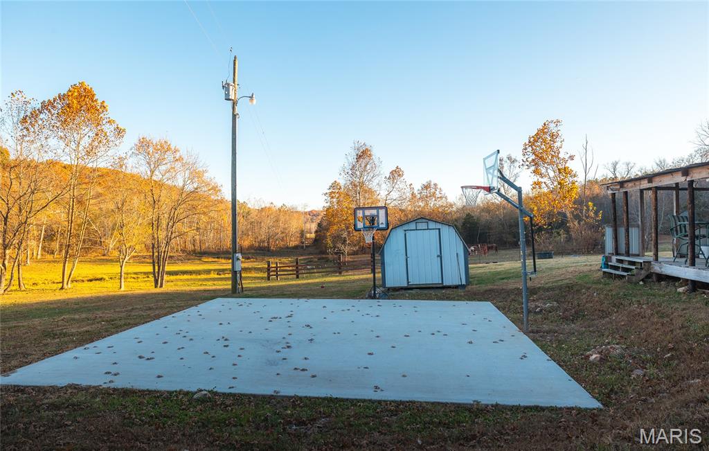
Improvements include a 3,300-square-foot home with four bedrooms and two full baths, featuring an open-concept design. Concrete floors are described as intended to handle muddy boots and dogs, and the home includes oversized windows. A 30’ x 40’ detached garage/shop is included for tools, equipment, and flexible on-site projects. This offering is positioned for buyers seeking land and water attributes alongside on-site living accommodations. This is divided off listing #26002449.
Current Use by Public Records
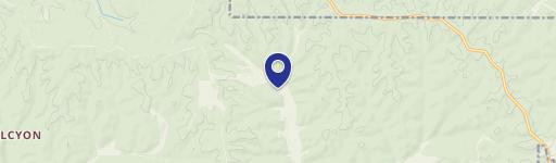
Map
- City
- Bunker
- County
- Reynolds
- State
- Missouri
- Longitude
- -91.298755
- Latitude
- 37.487284