32784 SW Laurelview Rd, Hillsboro, OR 97123
- Added:
- May 5, 2026
- Days on Market:
- 54
- Last Refresh:
- Jun 27 at 4:06 pm
Property Features for 32784 SW Laurelview Rd
General Information
- Property type
- Land
- Property subtype
- Single Family Residence
- Zoning
- AF-20
- Standard status
- Active
- APN
- R581999
- Lot size
- 12.13 Acres
Taxes and HOA fees
- Tax Description
- Tax lot ID - 2S3110000605 ACRES 12.13
- Tax Annual Amount
- 3608
Listing agent Pat Griffith License #891200192 (503) 939-9090
Listing office John L. Scott 1800 NW 167th Pl Ste 100, Beaverton, OR (503) 645-7433
Listing date May 5, 2026
Copyright © 2026 Regional Multiple Listing Services. All rights reserved. All information provided by the listing agent/broker is deemed reliable but is not guaranteed and should be independently verified.
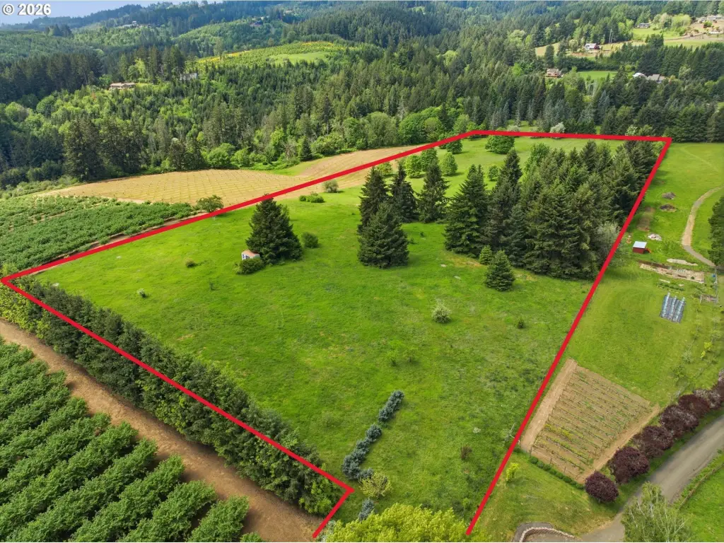
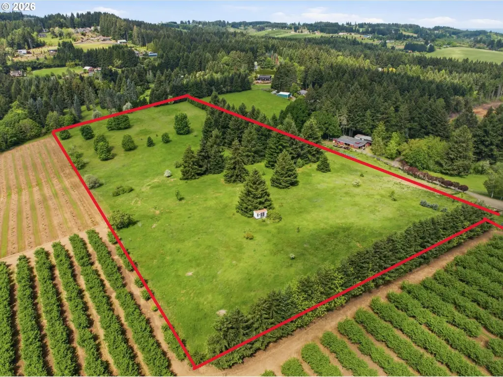
HighLights
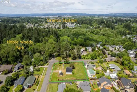
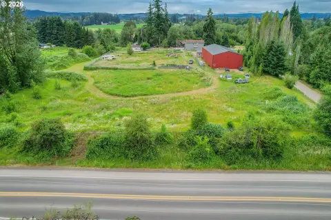
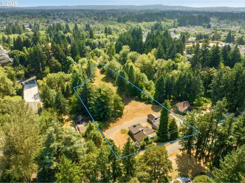
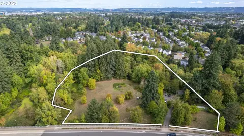
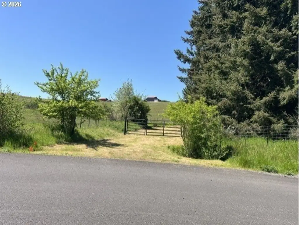
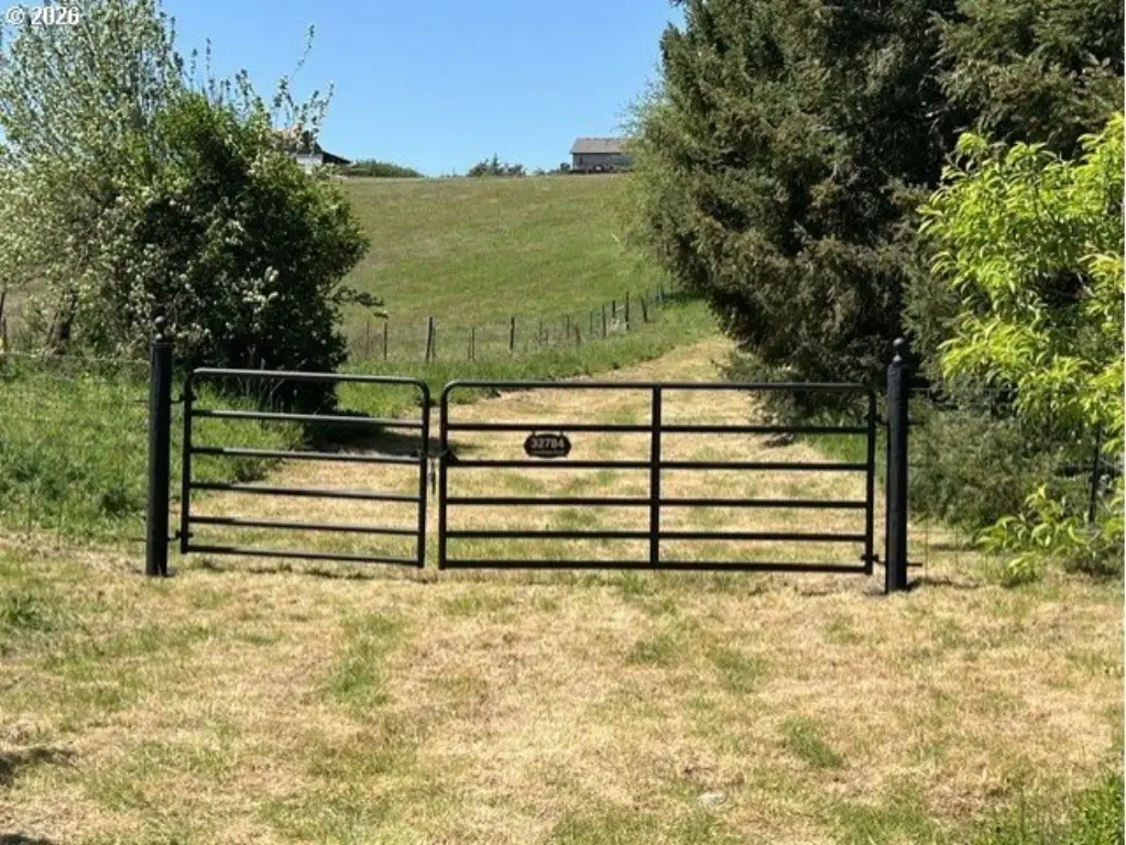
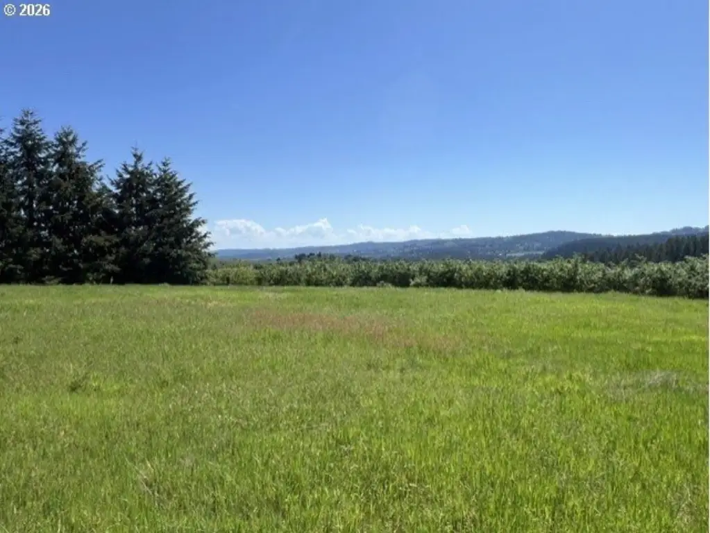
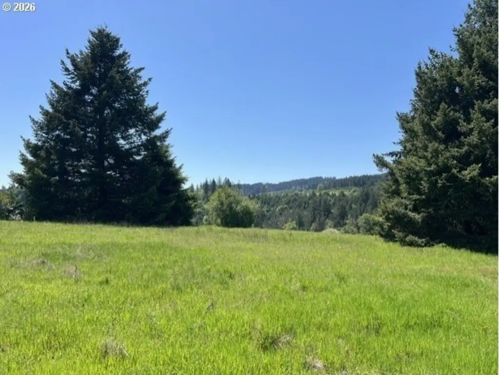
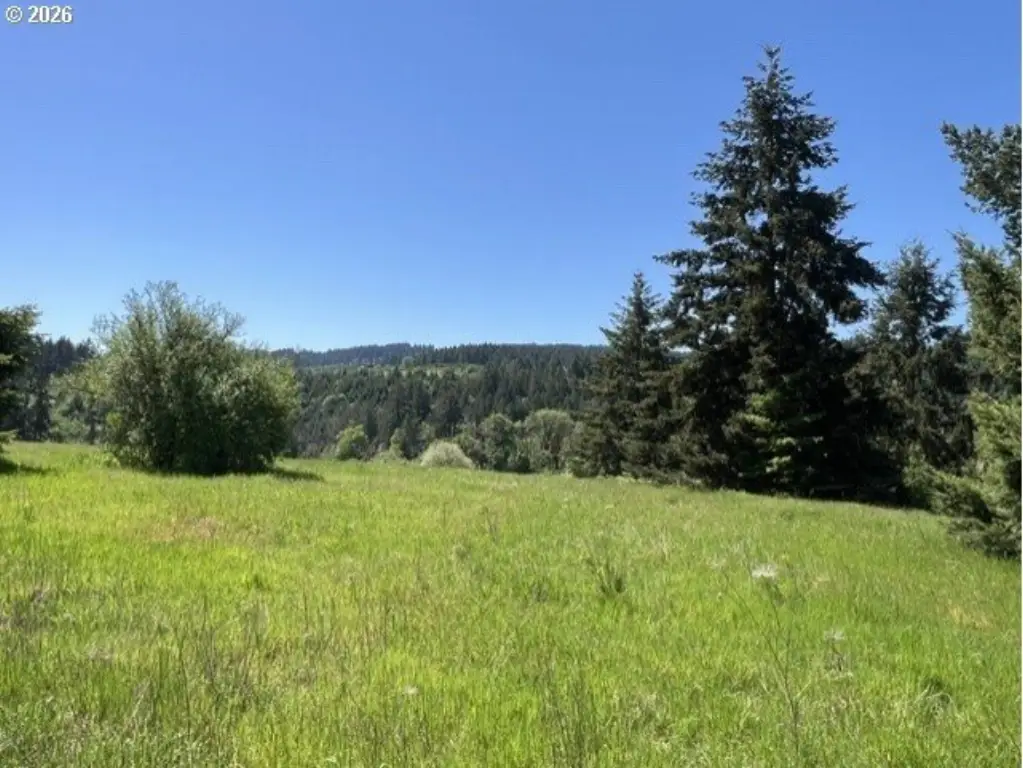
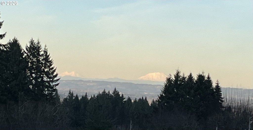
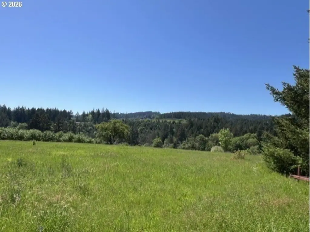
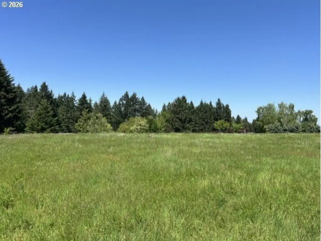
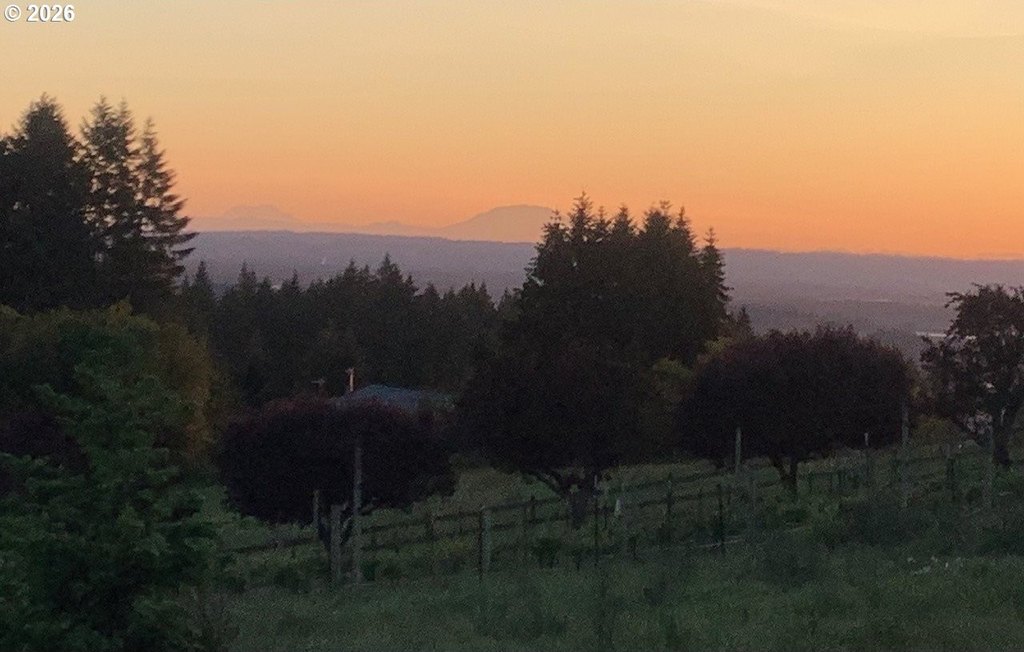
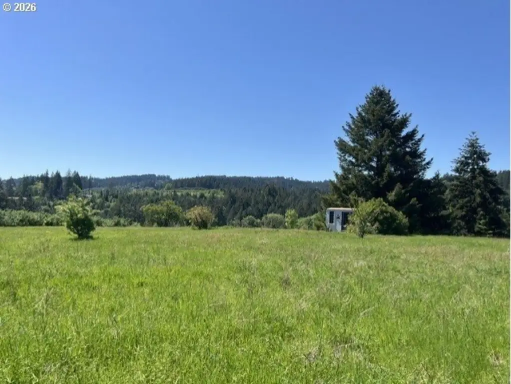
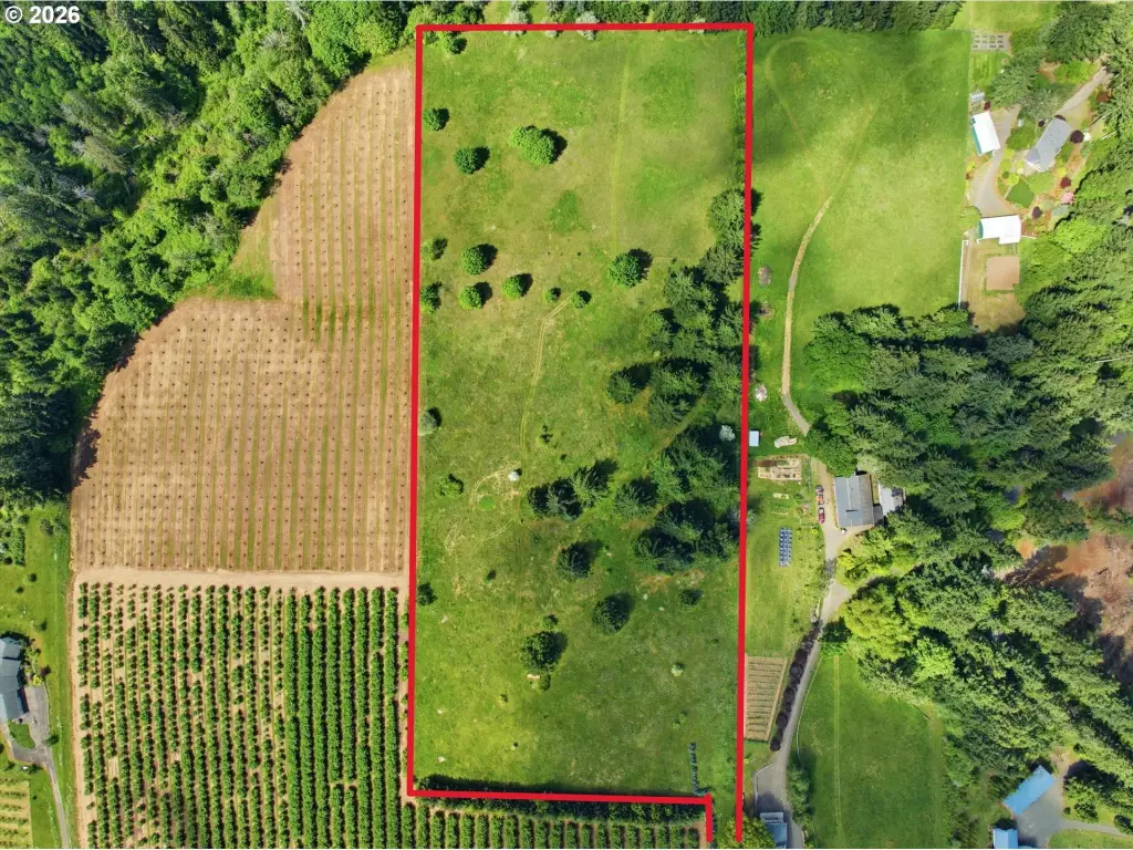
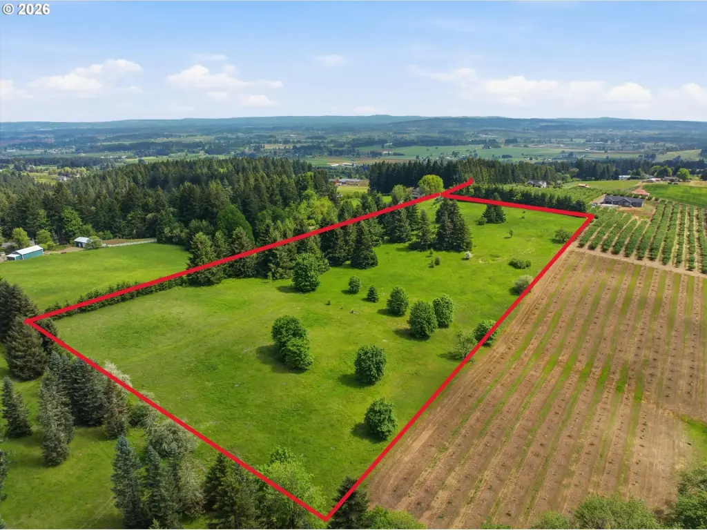
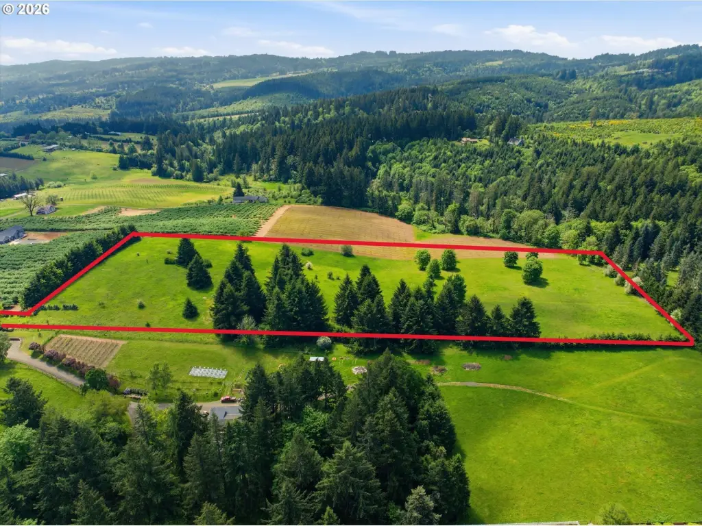
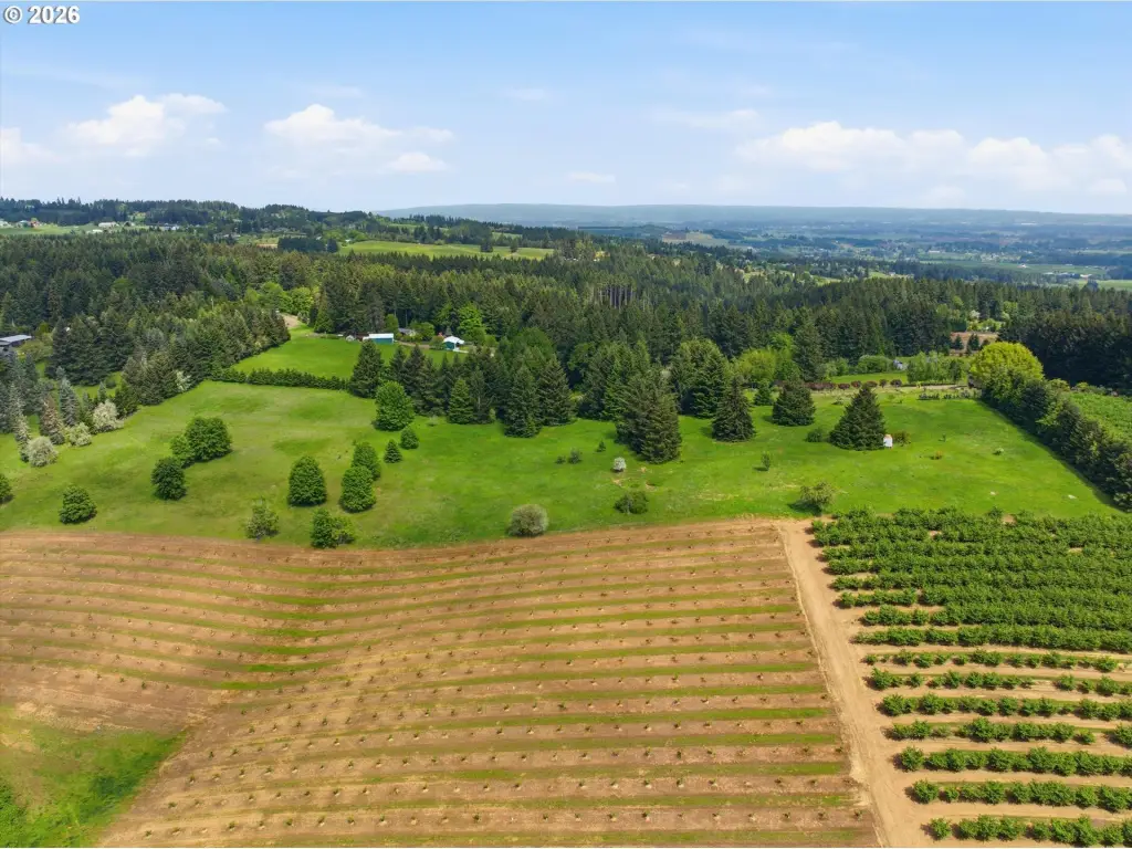
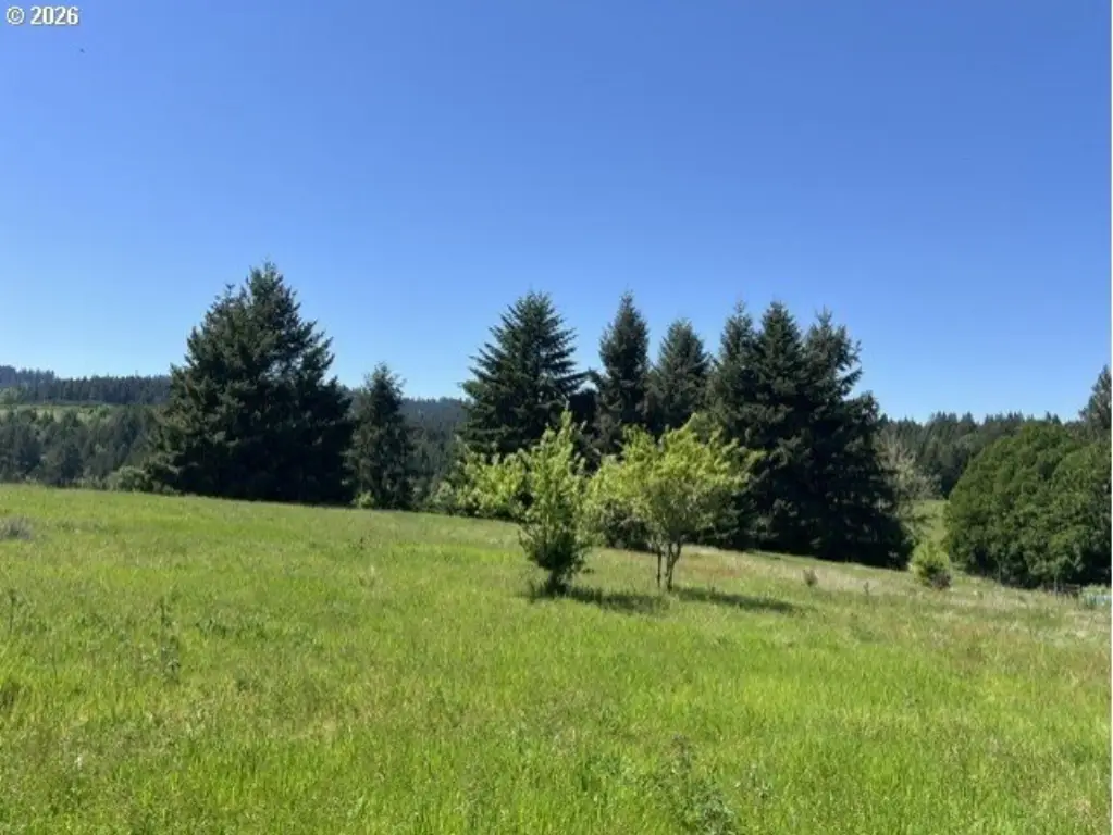
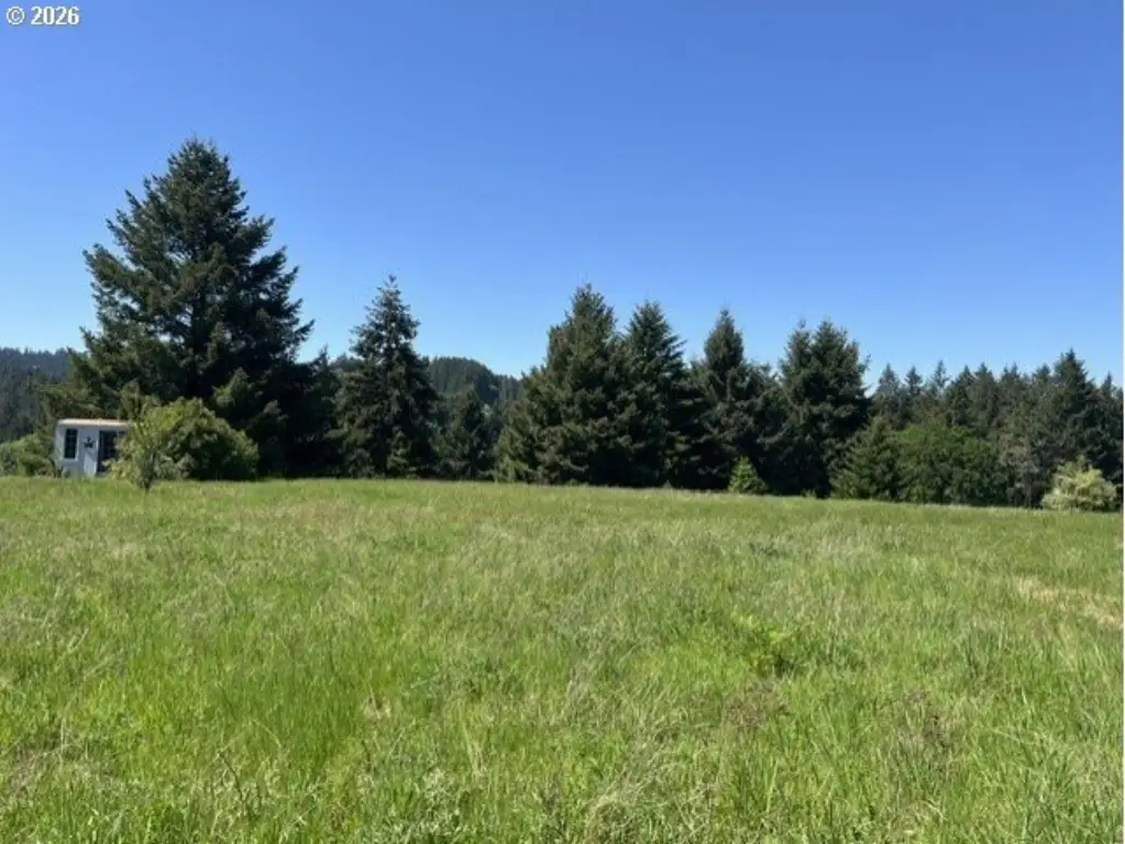
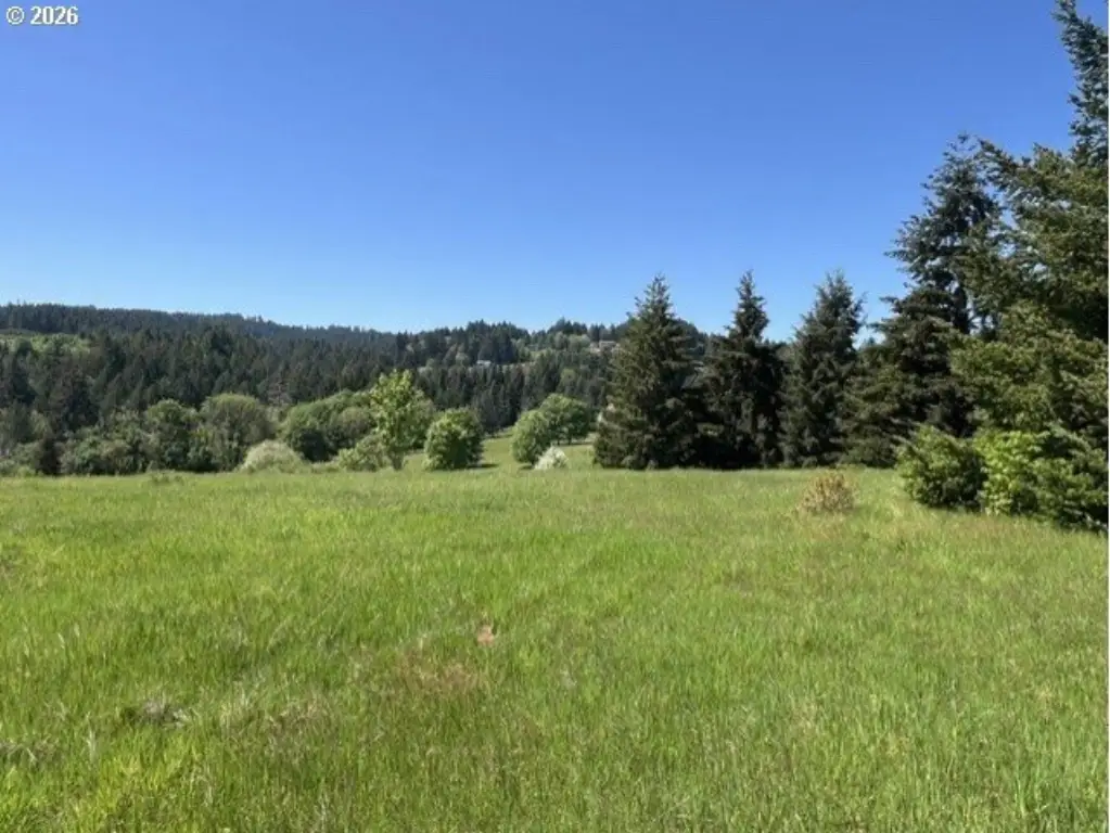
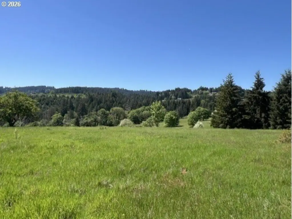
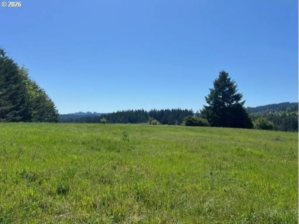
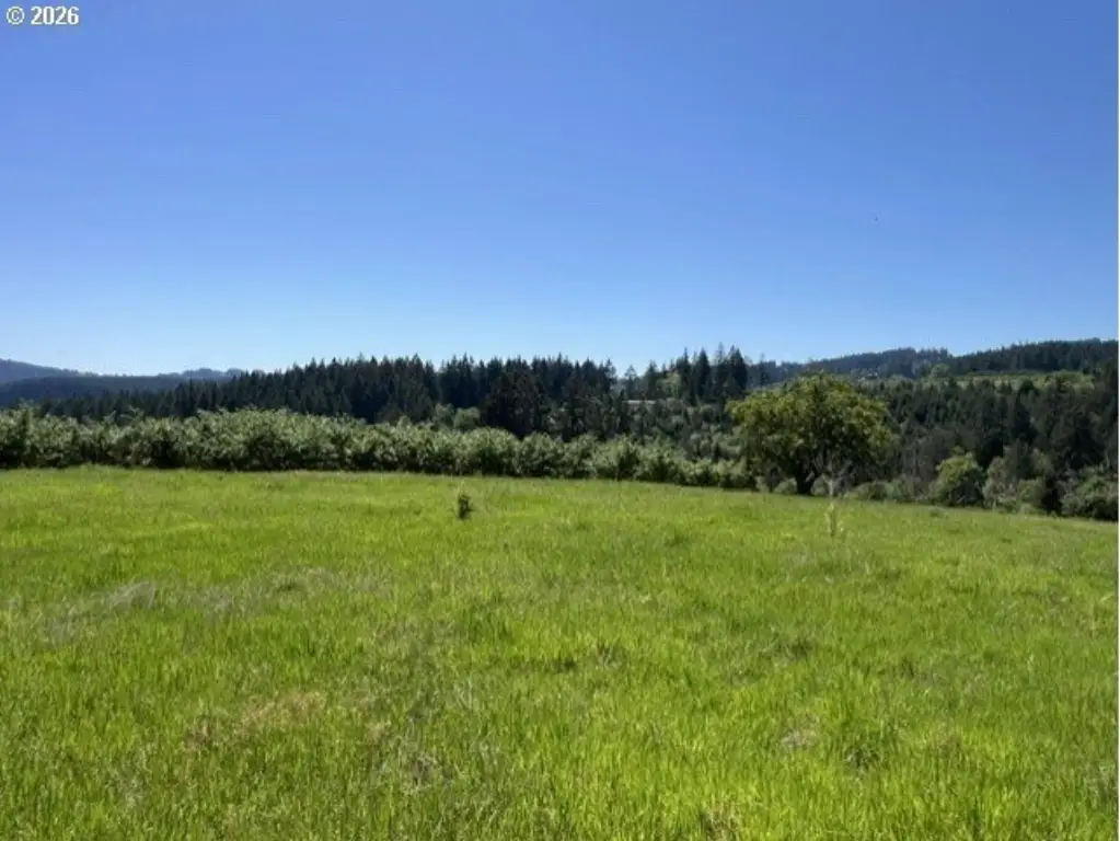
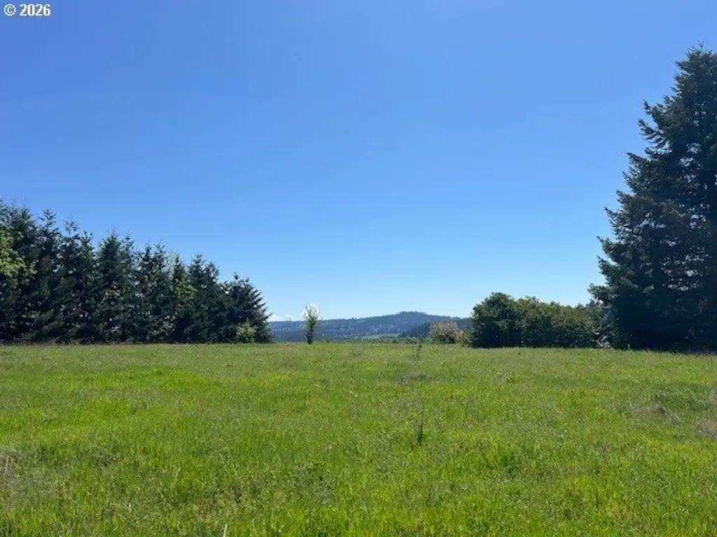
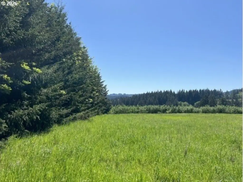
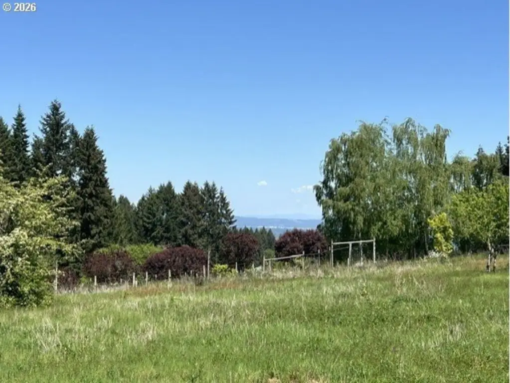
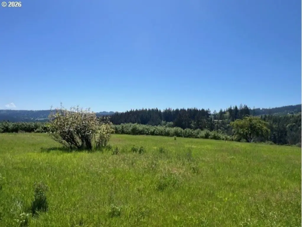
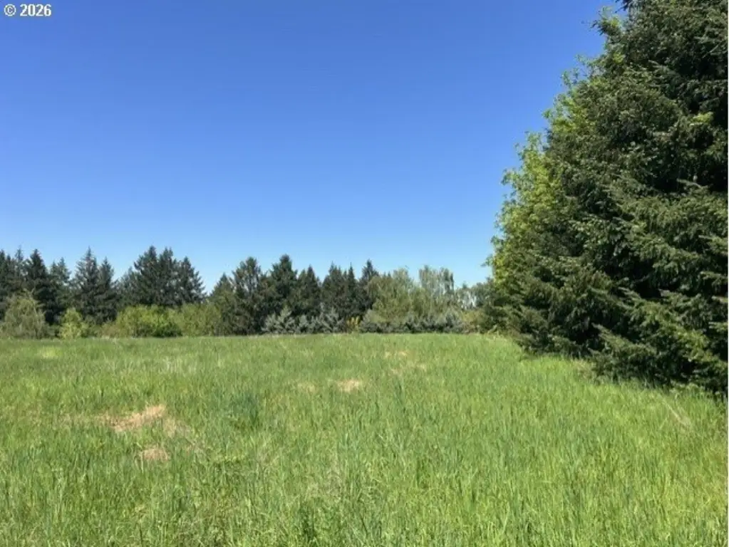
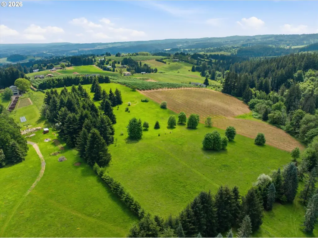
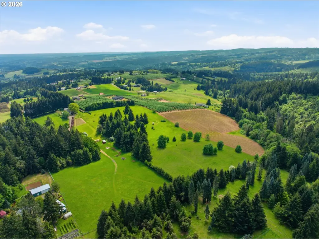
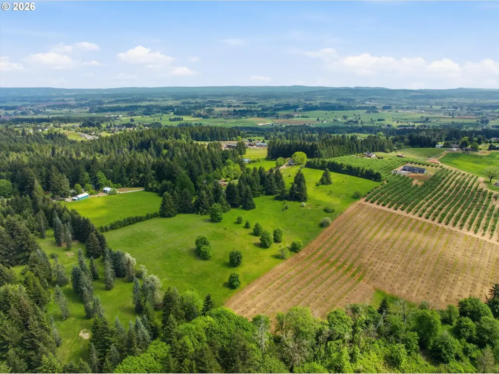
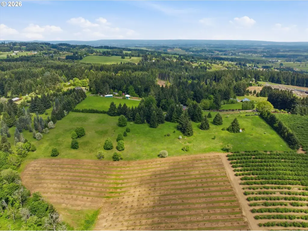
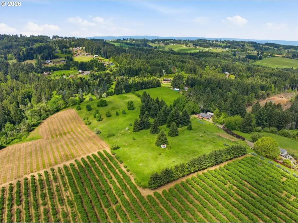
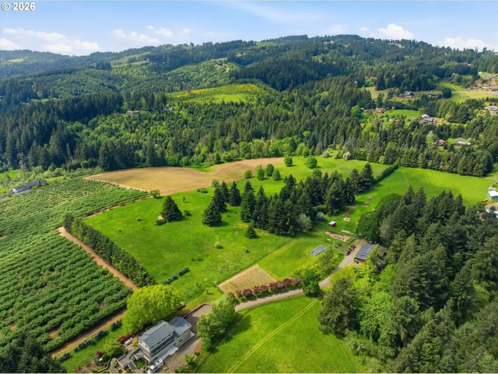
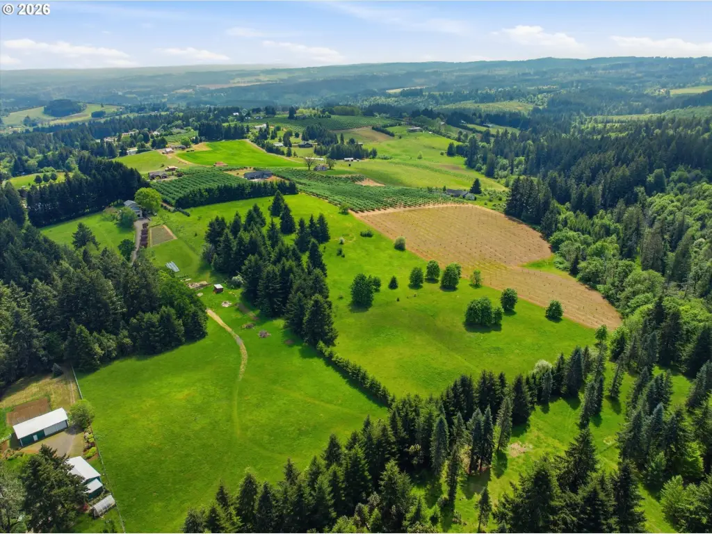
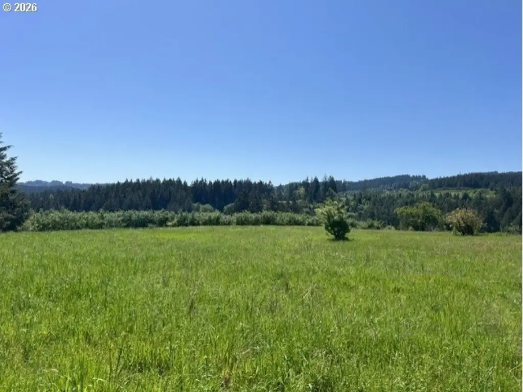
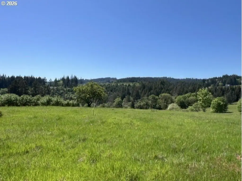
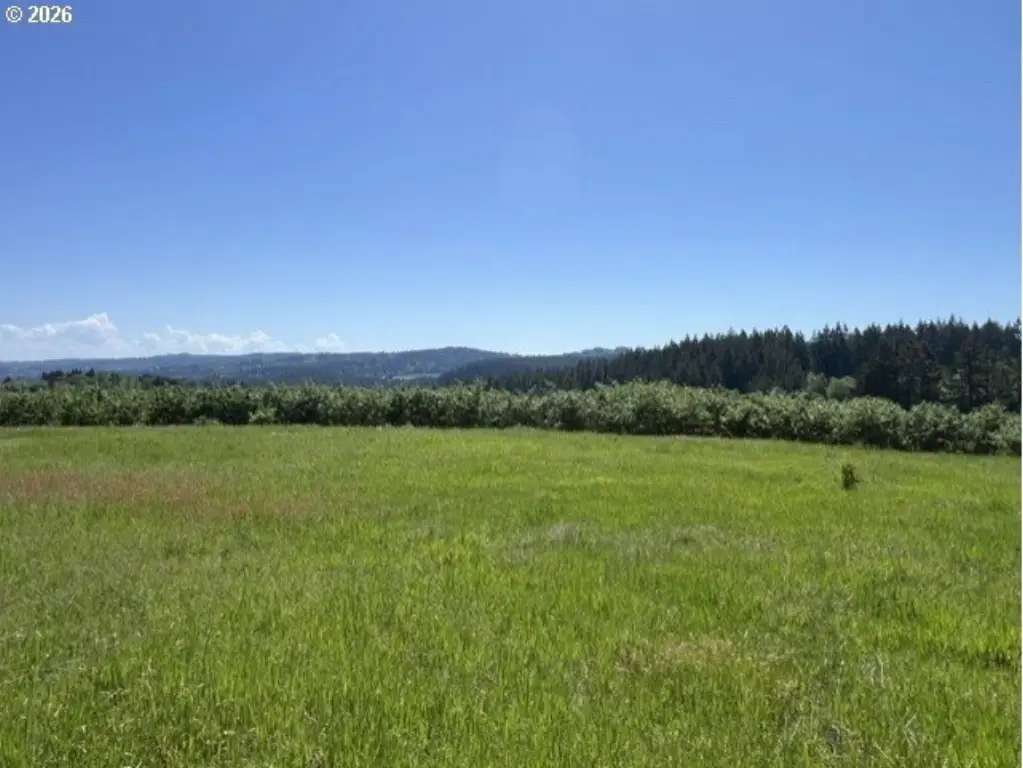
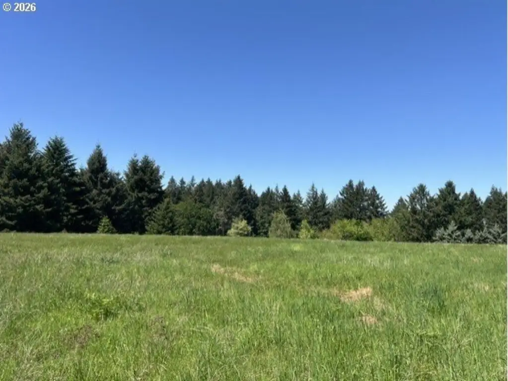
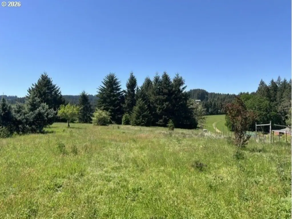
- 12.13‑acre lot in the foothills of the Chehalem Mountains with valley and mountain views (including Mount St Helens and Mount Rainier).
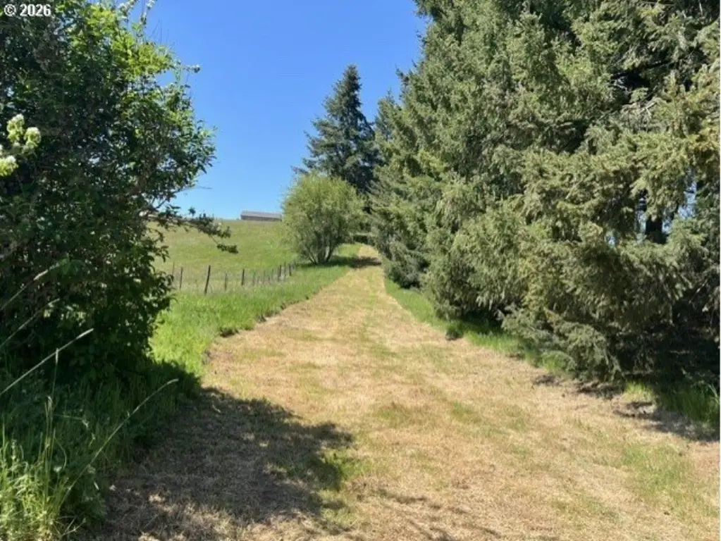
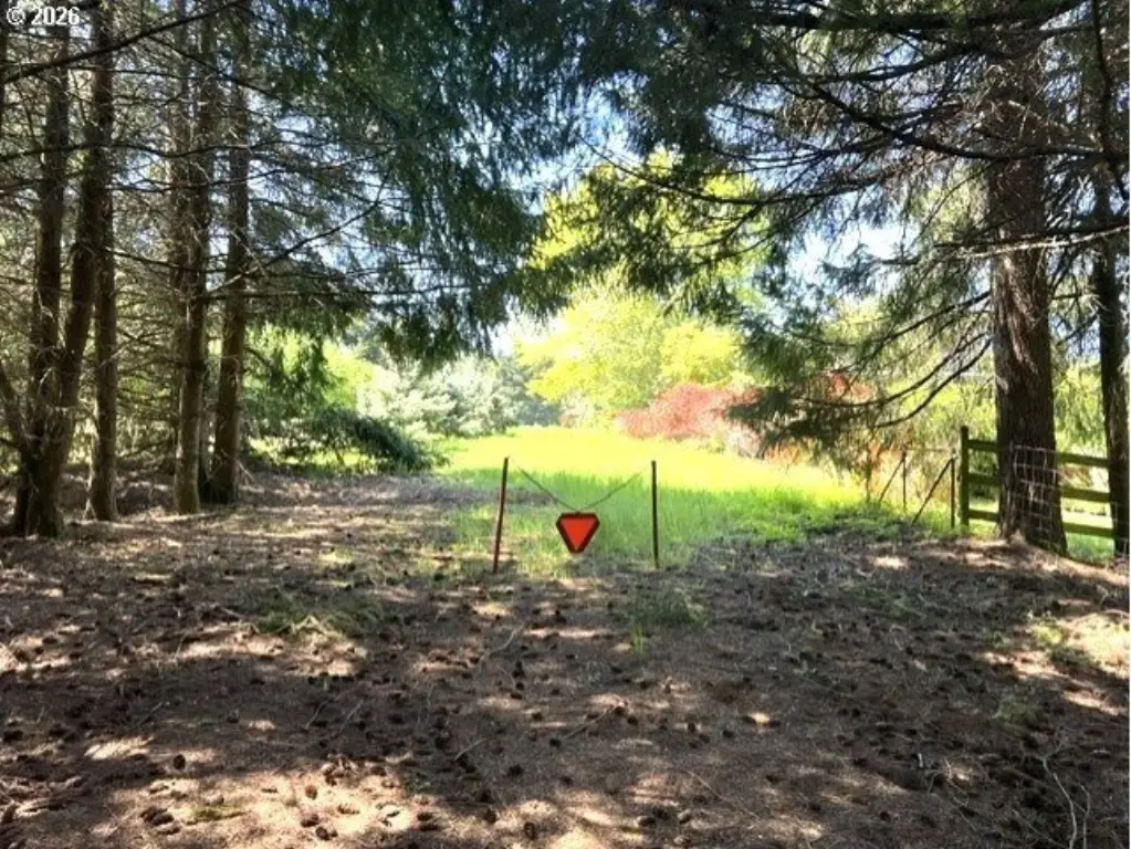
- Set back away from the road for a private setting with territorial views of the Chehalem Mountains.
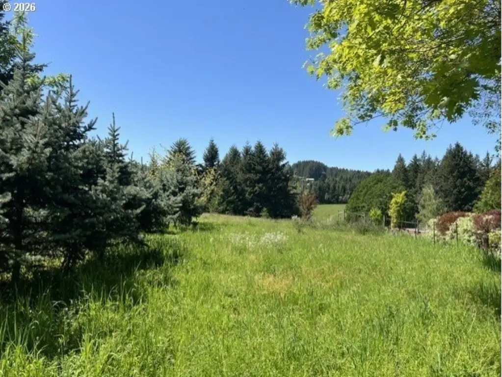
- Lot has a mostly level to gently sloping build site with good sun exposure.
- Building approved with Washington County.
- Septic approved for a standard system.
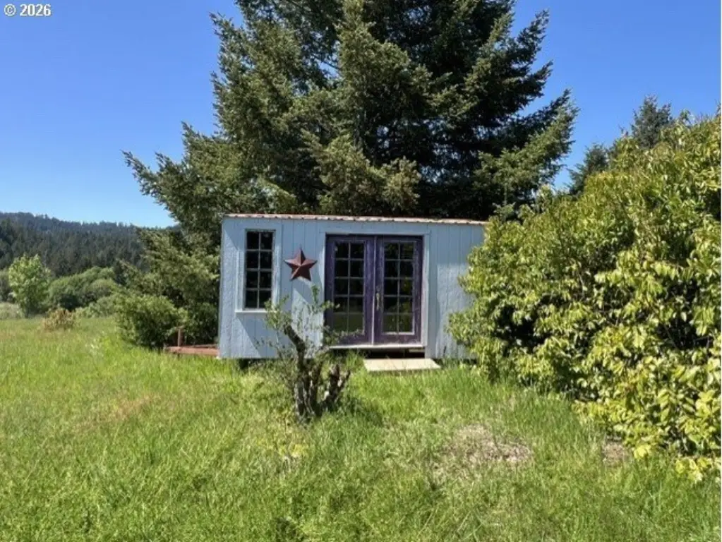
- Includes a mix of open field and mature fir and maple trees.
Overview
Located in the Laurel area of Hillsboro, Oregon, the parcel is identified as zoning AF-20. The seller notes views toward the valley and the Chehalem Mountains, with visibility of Mount St. Helens and Mount Rainier in one direction, along with territorial views of the Chehalem Mountains in the other. The remarks also note the surrounding area is characterized by orchards, trees, and farmland, and that the community of Laurel was established in 1852.
For buyers planning to build on their own, this site combines building approval with standard septic approval, which can streamline early planning. The gentle grade and open-field character may support a range of residential siting options while retaining tree cover. Lot lines shown in photos described as “property lines” are approximate and intended for perspective only.
Current Use by Public Records
Location Insight
- Map
- Local Demand
- City
- Hillsboro
- County
- Washington
- State
- Oregon
- Longitude
- -123.023782
- Latitude
- 45.407141