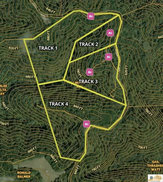
3030 Track 2 Bull Ridge Road, Burkesville, KY 42717
- Added:
- Jun 10, 2026
- Days on Market:
- 12
- Last Refresh:
- Jun 21 at 4:06 am
Property Features for 3030 Track 2 Bull Ridge Road
General Information
- Property type
- Land
- Property subtype
- Other
- Standard status
- Active
- Lot size
- 5.00 Acres
Listing agent Dane Driscoll License #298521 (270) 765-8345
Listing office Whitetail Properties Real Estate, LLC 121 S Madison St., Pittsfield, KY (217) 473-5642
Listing date Jun 10, 2026
Copyright © 2026 South Central Kentucky Association of Realtors. All rights reserved. All information provided by the listing agent/broker is deemed reliable but is not guaranteed and should be independently verified.
HighLights
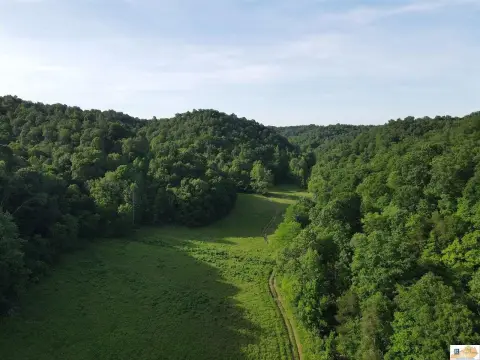
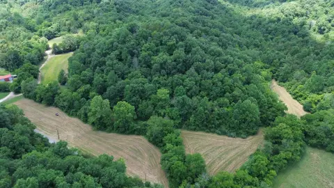
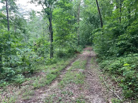
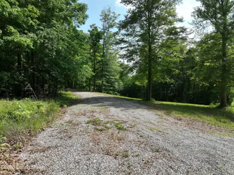
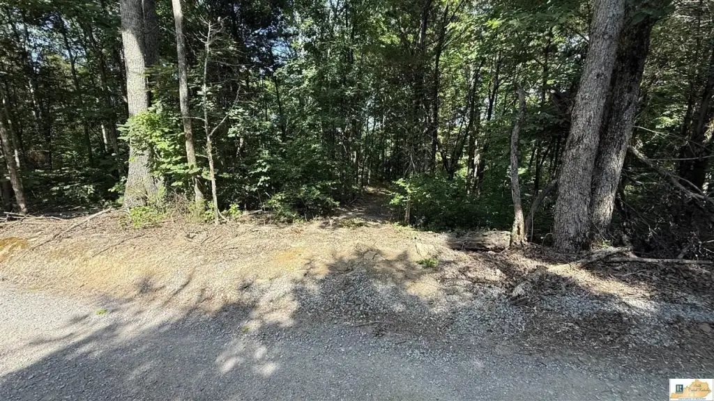
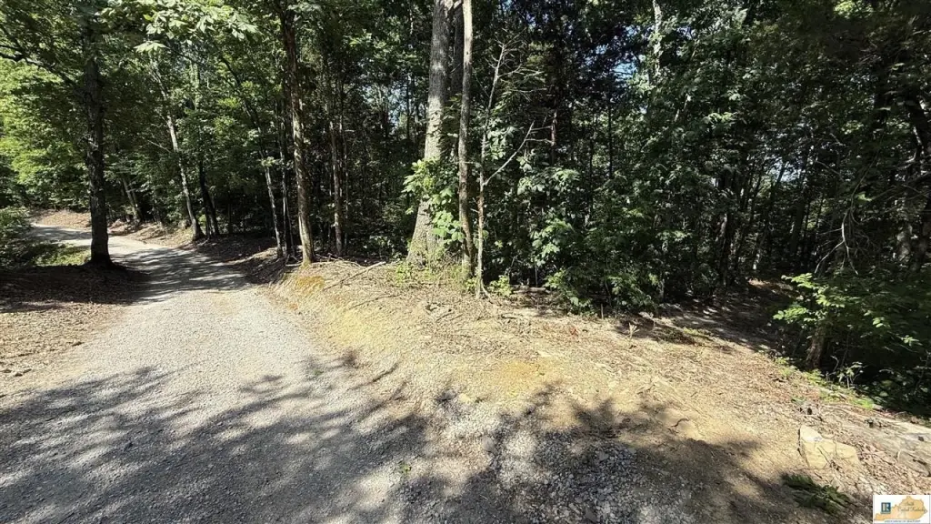
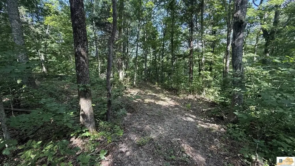
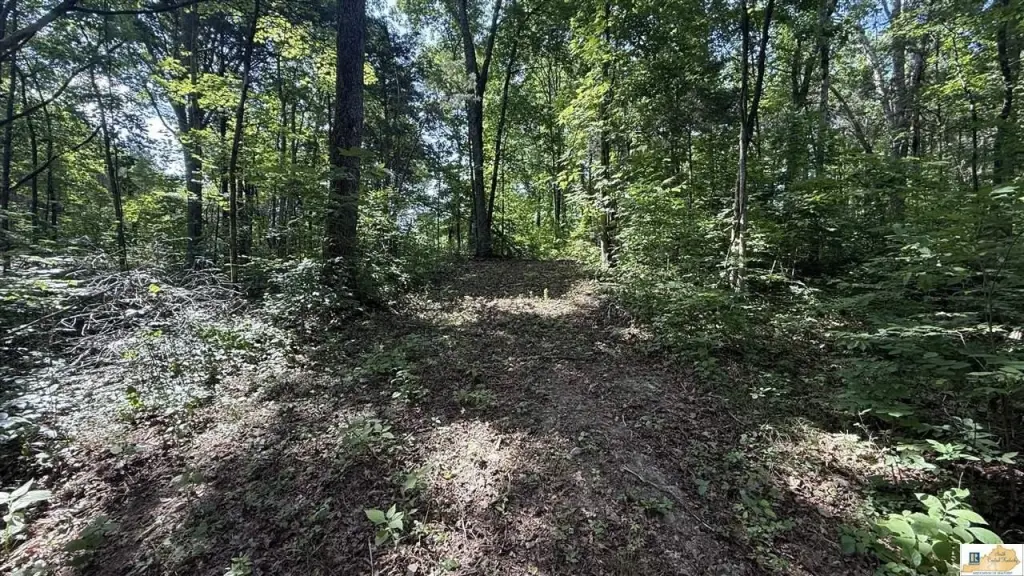
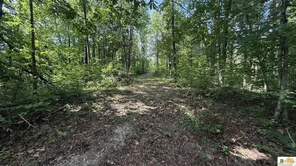
- 4.89+/- acre wooded tract in Cumberland County, located on Bull Ridge Rd just outside Burkesville
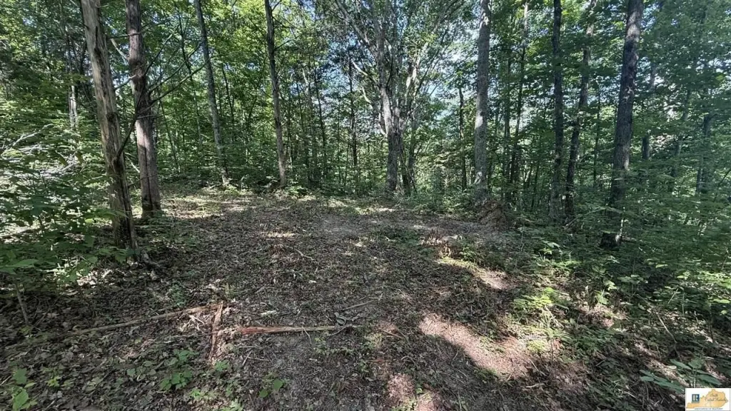
- Includes an established clearing that may serve as a starting point for a cabin, retreat, or residence (subject to buyer verification)
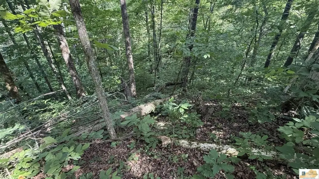
- Private rural setting with mature timber and natural vegetation for outdoor recreation like hiking, wildlife viewing, and hunting
- Wildlife noted in the area includes deer and turkey (seasonal activity varies)
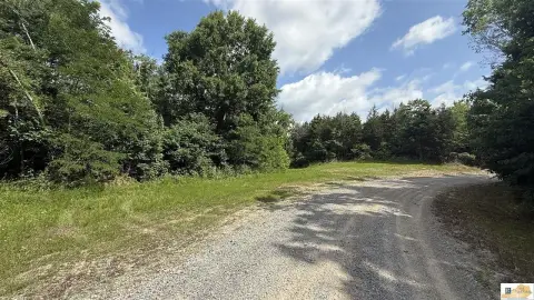
- Access via lightly traveled county road, with quiet surroundings and limited traffic
- Approximately 15 minutes to Burkesville (8 miles), with additional drives to Albany (~22 miles) and Glasgow (~45 miles)
Overview
Access is via Bull Ridge Rd., described as a lightly traveled county road. While the setting is secluded due to surrounding woodland, Burkesville is approximately 15 minutes away, providing access to everyday services such as shopping, dining, fuel, and other local needs. The listing notes the Cumberland River and Dale Hollow Lake region are within a reasonable drive.
For buyers seeking outdoor use, the wooded acreage supports activities such as hiking, wildlife observation, hunting, and general outdoor recreation. Wildlife activity is expected to vary by season and conditions, and the listing specifically references deer, turkey, and small game species. For those planning improvements, the established clearing may reduce initial site prep, with clearing expansion possible depending on intended use and regulations; acreage should be confirmed with a survey.
Current Use by Public Records
Map
- City
- Burkesville
- County
- Cumberland
- State
- Kentucky
- Longitude
- -85.44363903
- Latitude
- 36.74802362