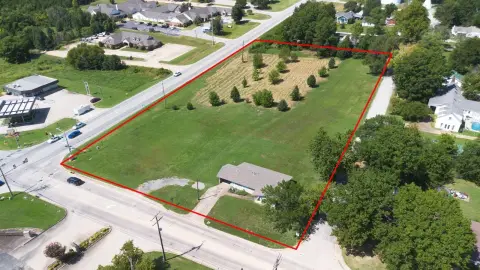
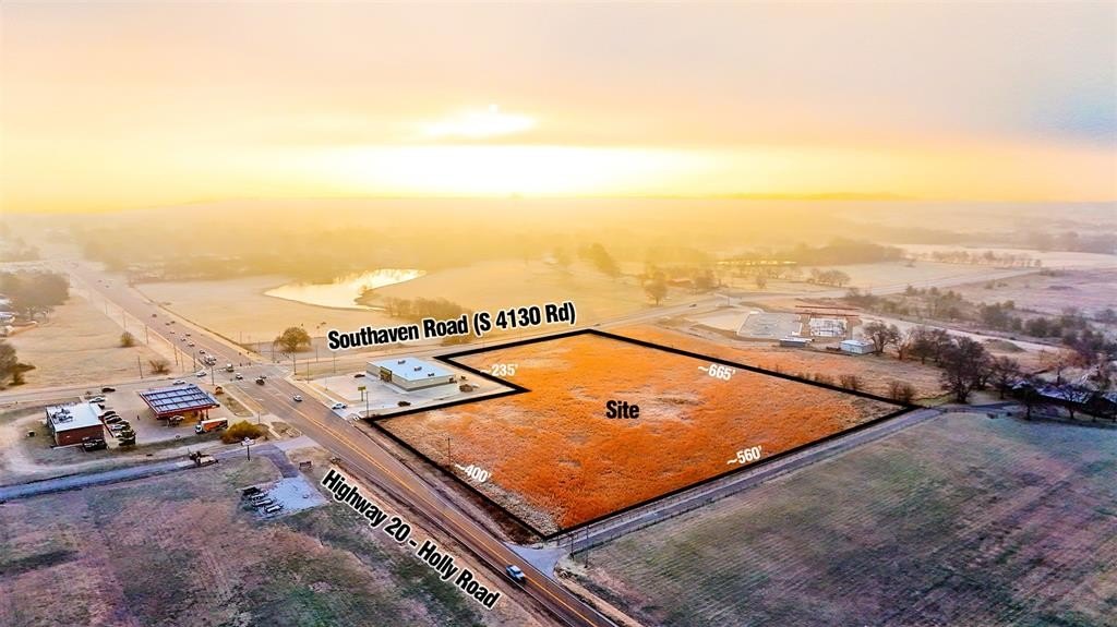
2925 W Holly/Hwy 20 Road, Claremore, OK 74017

- Added:
- Nov 30, 2025
- Days on Market:
- 213
- Last Refresh:
- Jul 1 at 5:06 am
Property Features for 2925 W Holly/Hwy 20 Road
General Information
- Property type
- Land
- Property subtype
- Other
- Zoning
- Commercial
- Standard status
- Active
- APN
- 2925WHolly/Hwy2074017
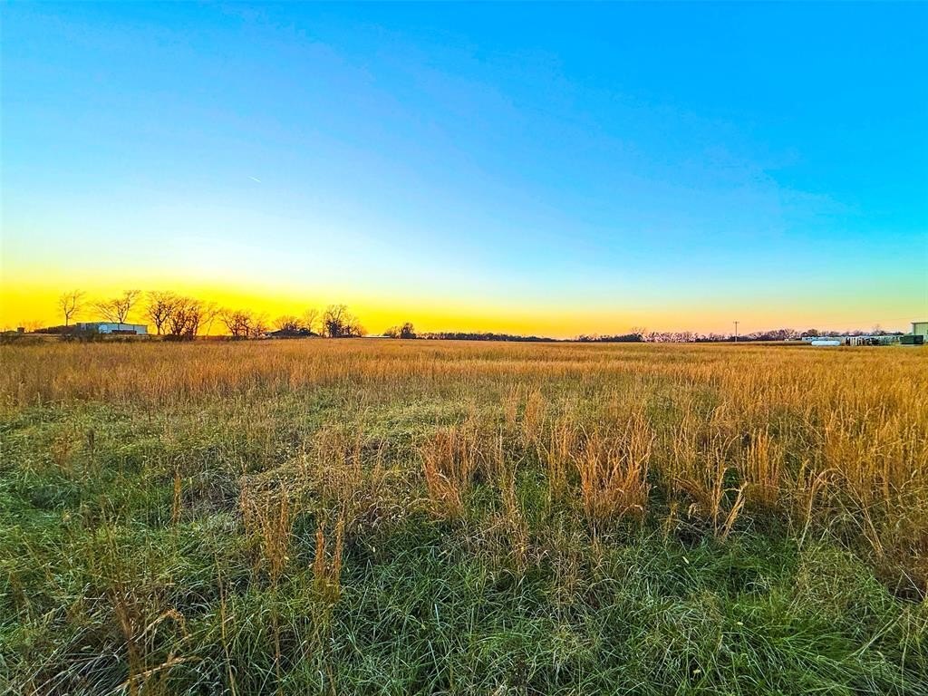
- Lot size
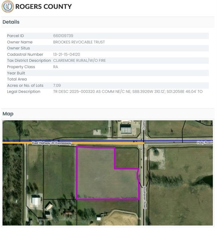
- 7.09 Acres
Listing agent Brian Merzlock License #177528 (208) 680-8000
Listing office Keller Williams Realty Adv. 25101 E 71st St. South, Tulsa, OK (918) 347-1134
Listing date Nov 30, 2025
Copyright © 2026 MLSOK, Inc. All rights reserved. All information provided by the listing agent/broker is deemed reliable but is not guaranteed and should be independently verified.
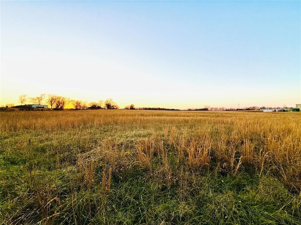
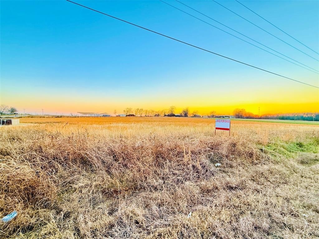
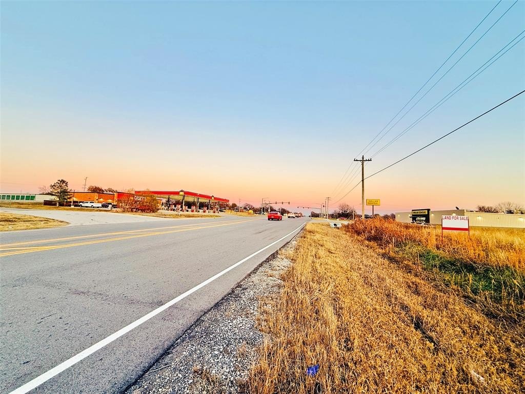
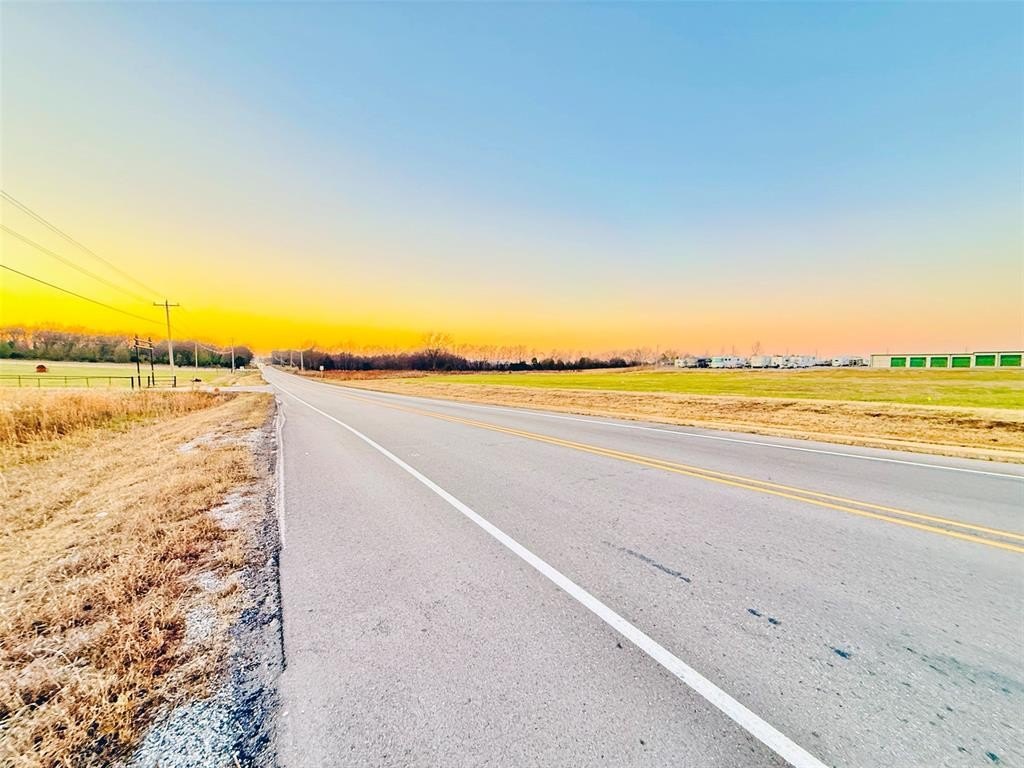
HighLights
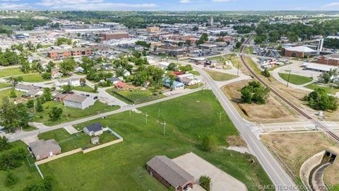
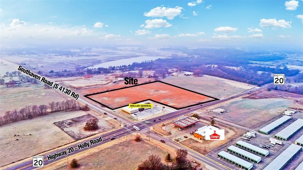
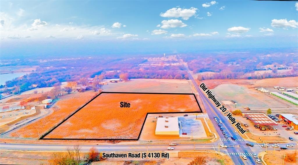
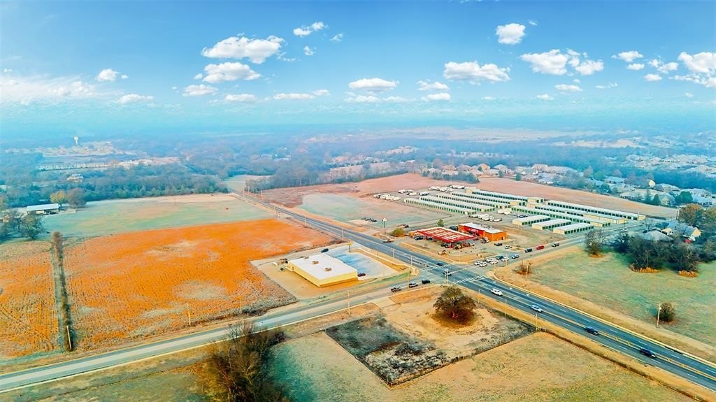
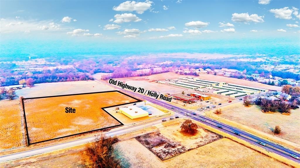
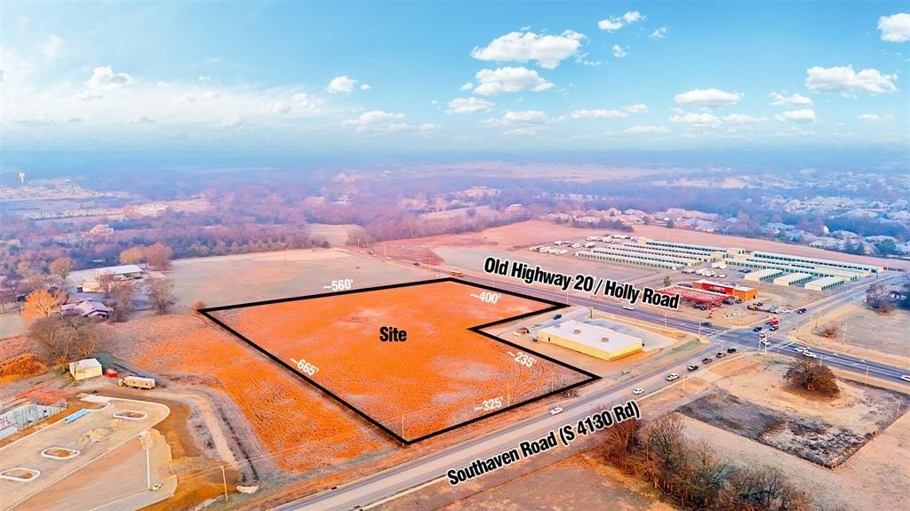
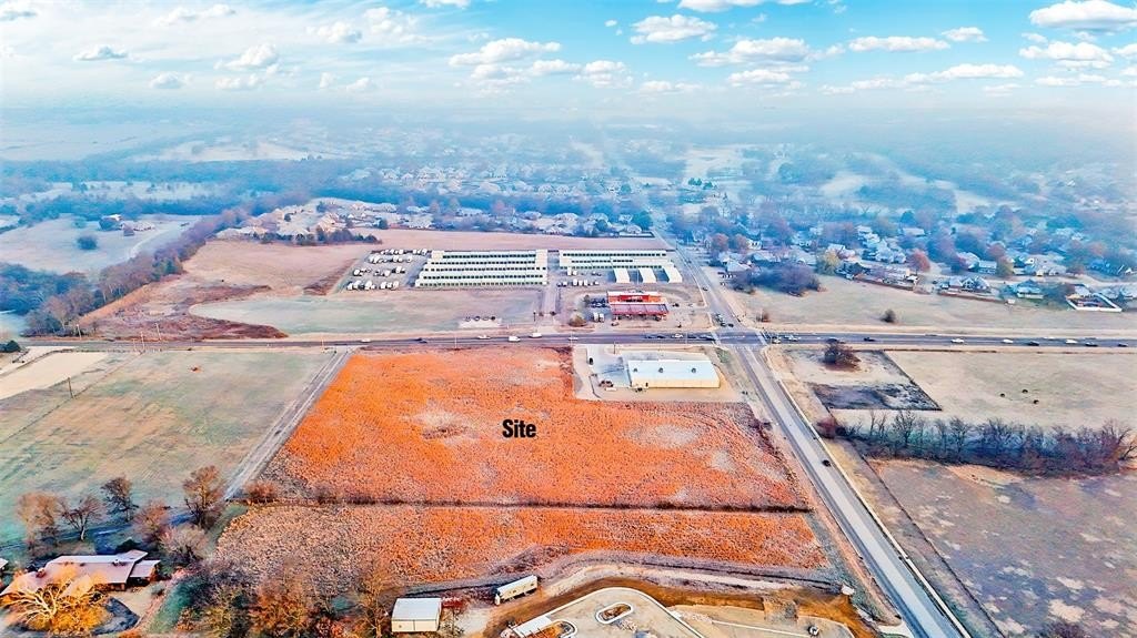
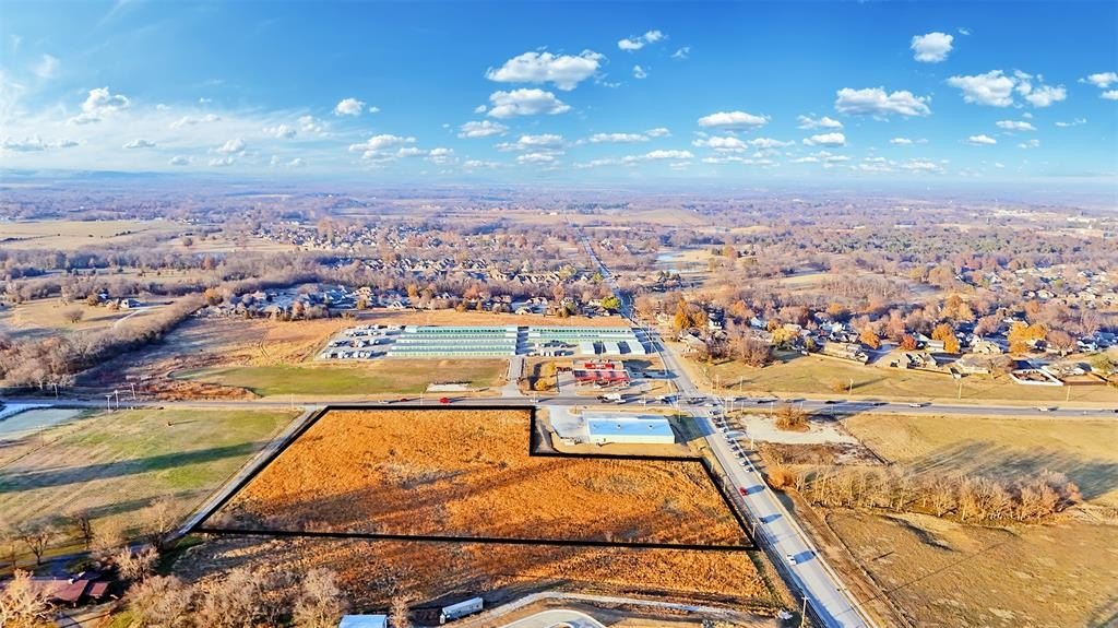
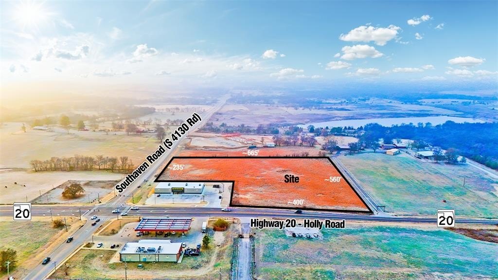
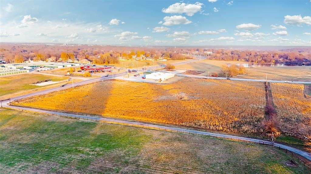
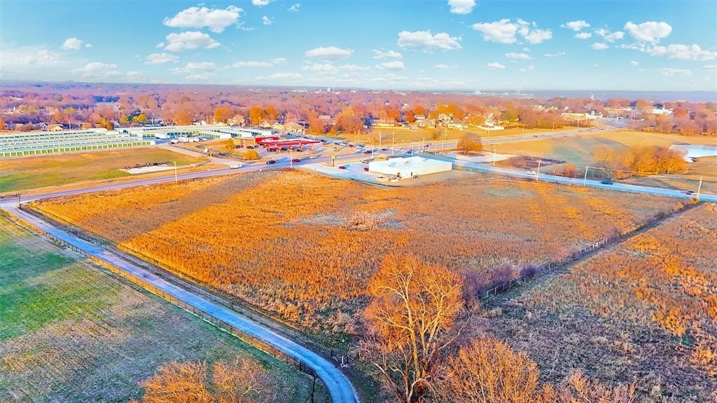
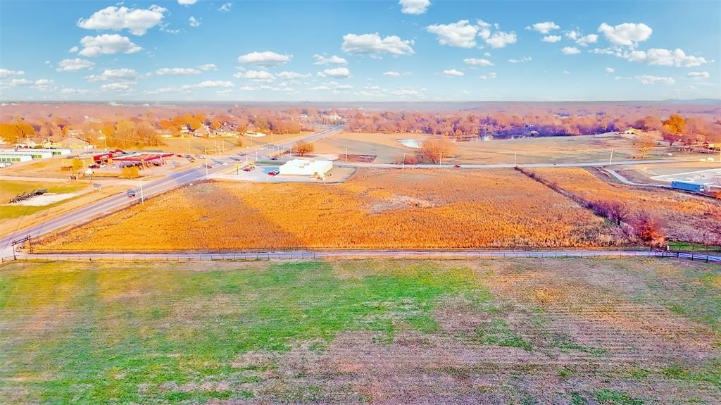
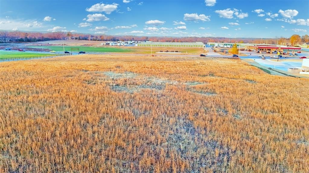
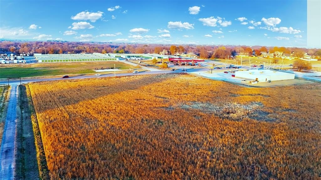
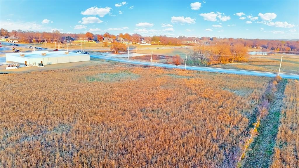
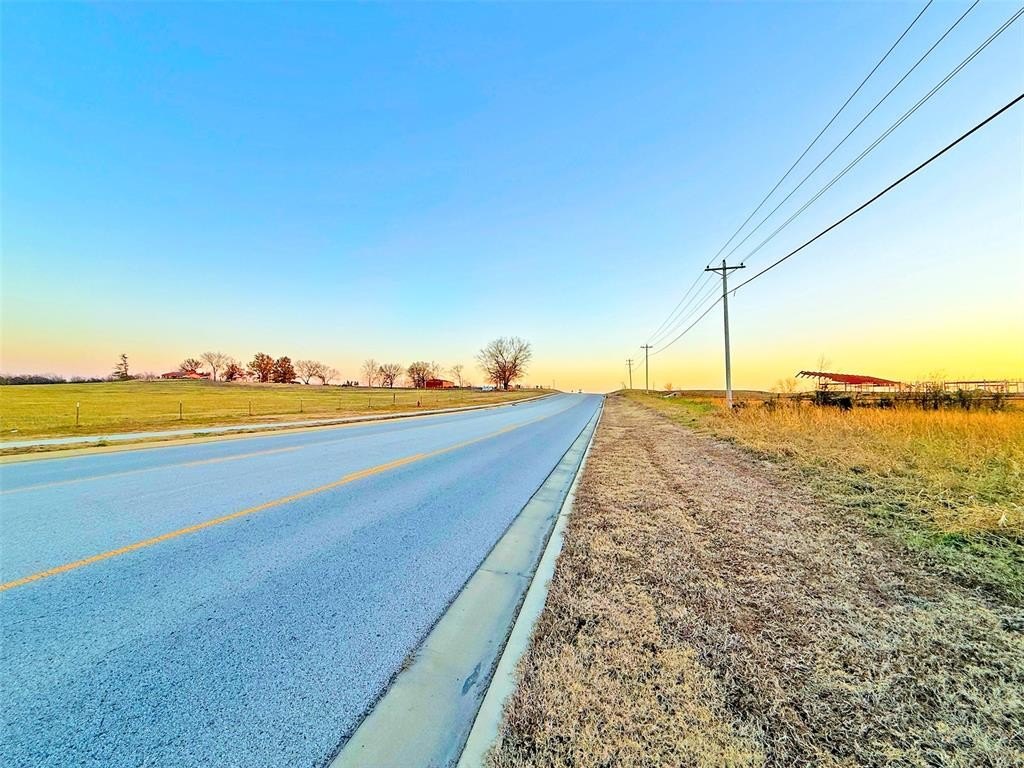
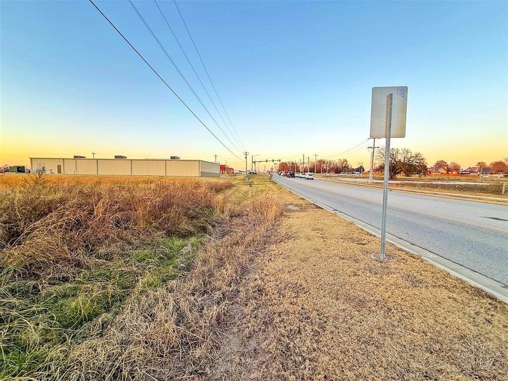
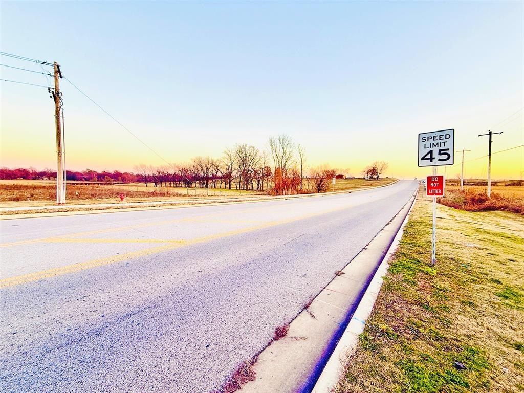
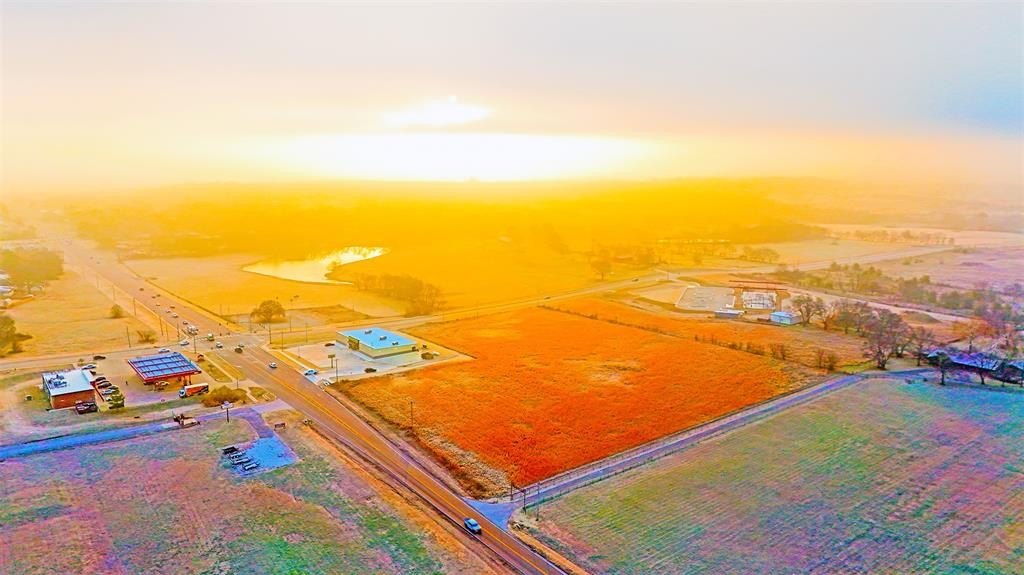
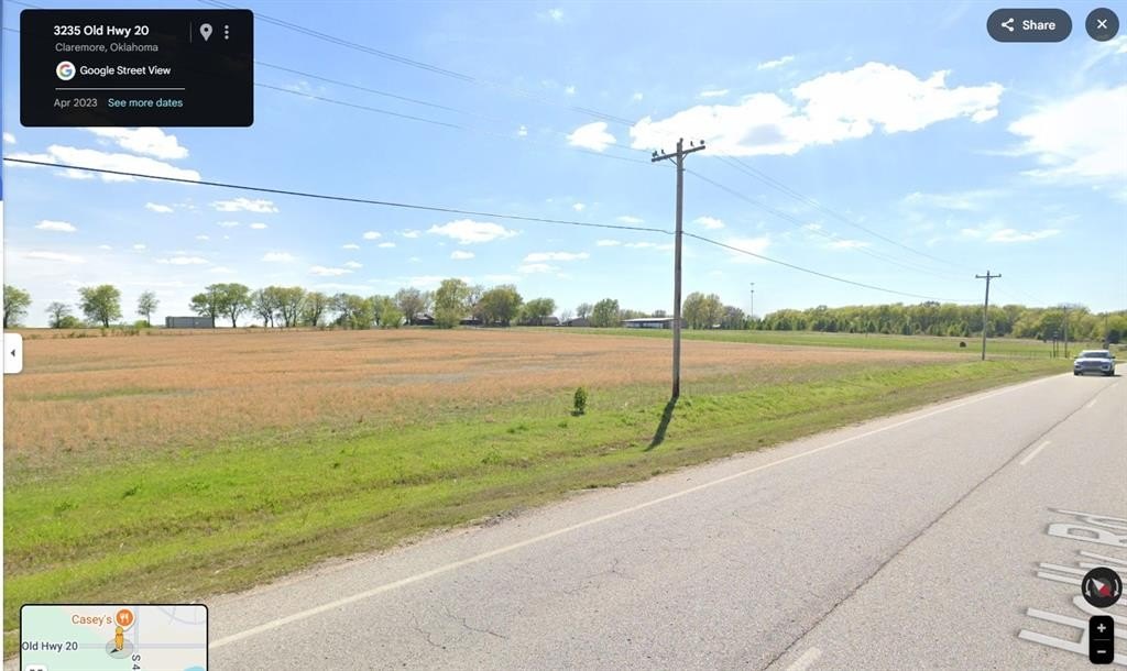
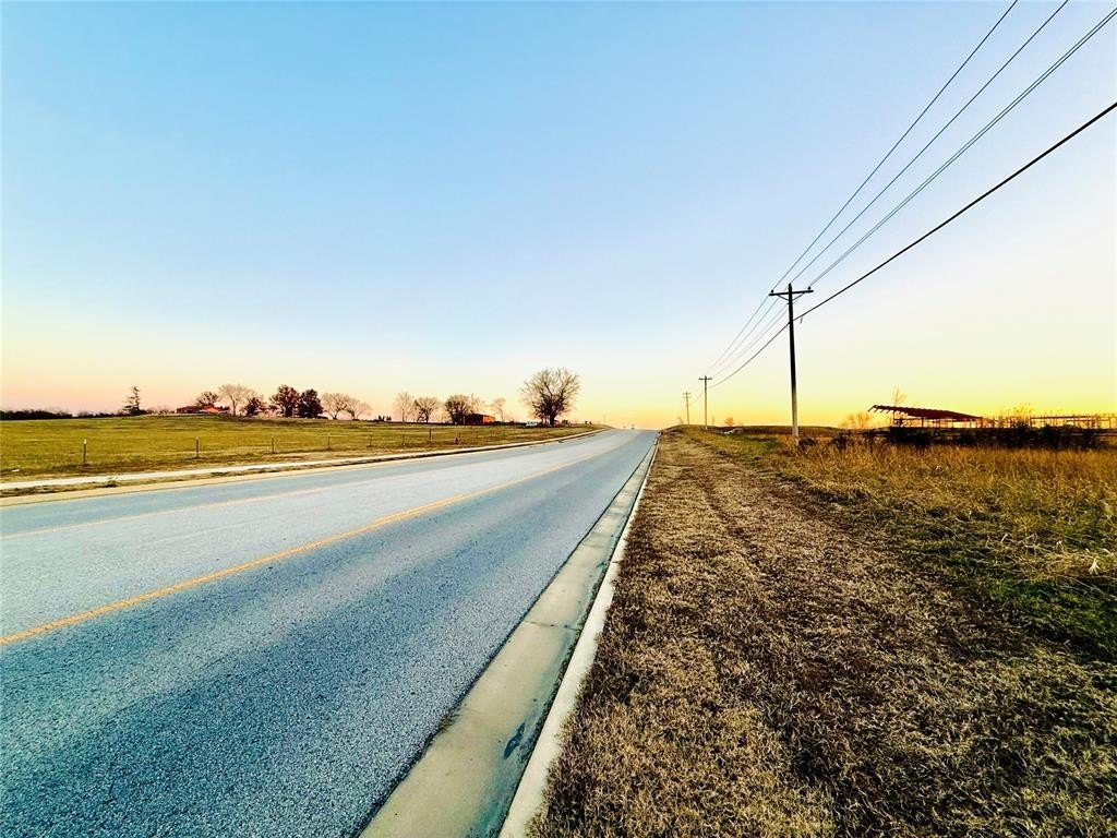
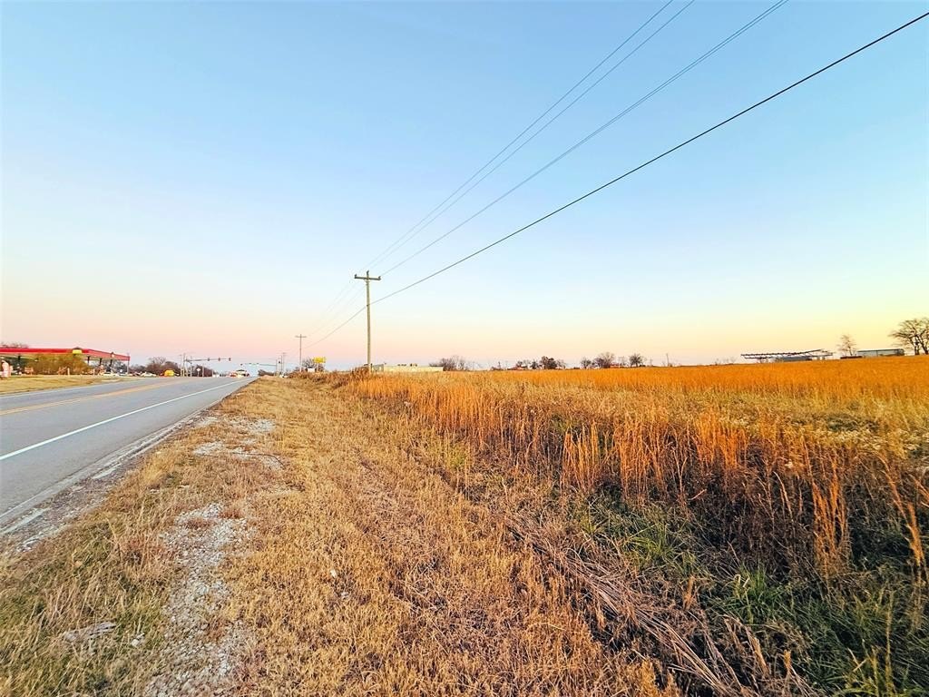
- Prime corner commercial land at the intersection of Highway 20 (Holly Road) and Southaven Road.
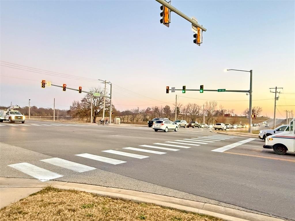
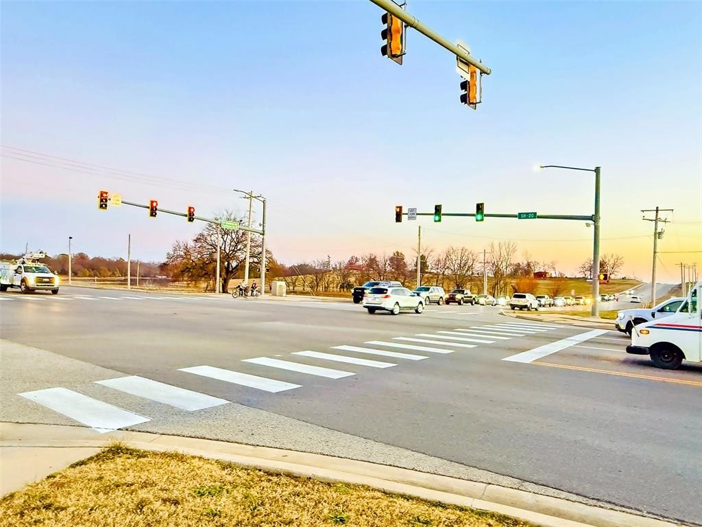
- High traffic volume of approximately 20,000 AADT on Highway 20, providing excellent visibility.
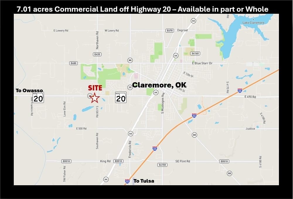
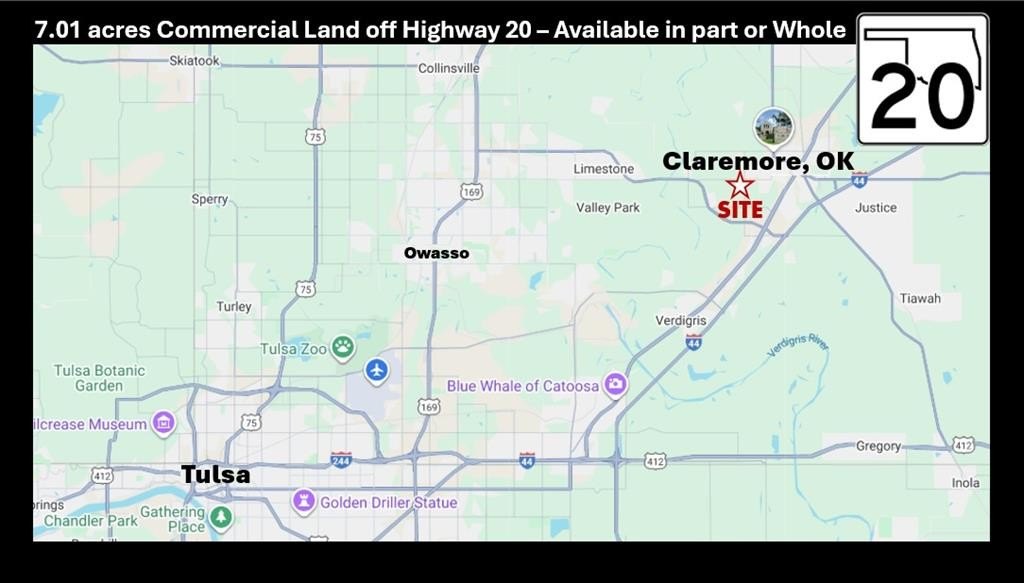
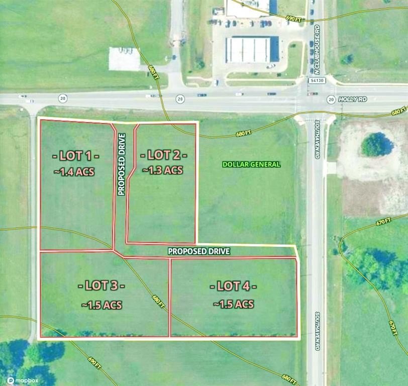
- Flexible parcel sizes available, ranging from 1.3 acres up to 7.01 acres, divisible as required.
- Ideal for a variety of uses, including retail, medical/professional office, automotive, light industrial, or mixed‑use development.
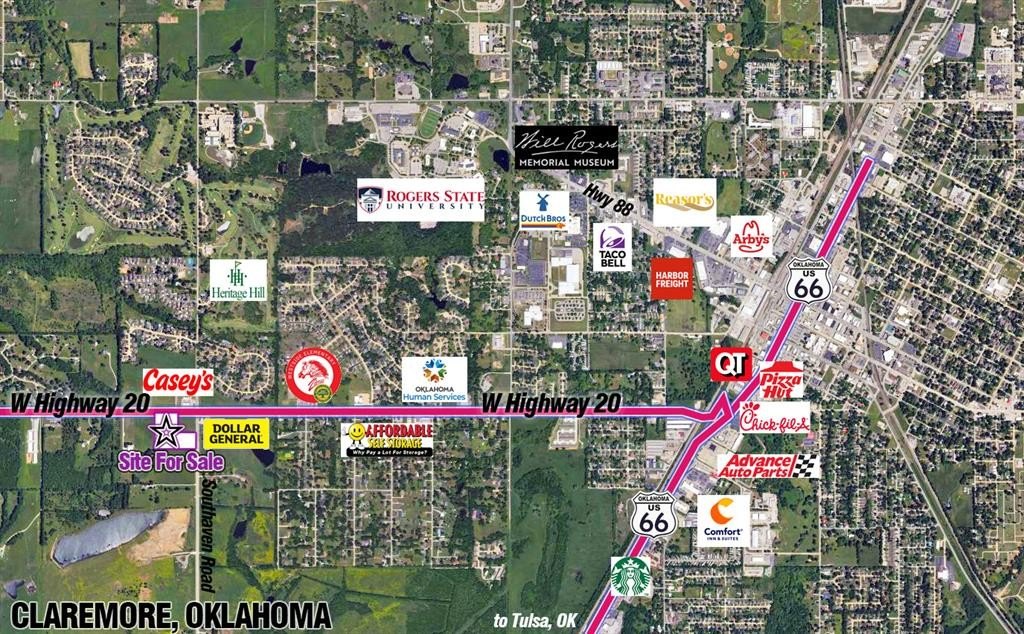
- Located 1.25 miles west of McDonalds, Chick‑Fil‑A, and Starbucks.
- Excellent ingress/egress potential due to corner frontage on a primary state highway.
Overview
The site is located on a primary east-west arterial corridor through Claremore that connects with the Tulsa metro area and links Claremore and Owasso (the drive between the two is roughly 17 miles, per the provided remarks). Public remarks also reference ODOT 2023 AADT map data for Rogers County showing traffic volumes along SH-20 through the Claremore area generally in the mid-teens to mid-twenty-thousands at nearby count locations, with an approximate ~20,000 AADT figure. The availability of utilities and the exact ingress/egress should be verified with local authorities, as noted in the remarks.
The commercial zoning and subdivision flexibility support a range of uses, including retail pads, medical and professional office, automotive, light industrial, multi-tenant retail, or a phased mixed-use development. With its highway intersection location and ability to create multiple tracts, the property may fit investors and developers looking to structure an adaptable plan for multiple end-user types.
Current Use by Public Records
Map
- City
- Claremore
- County
- Rogers
- State
- Oklahoma
- Longitude
- -95.652073
- Latitude
- 36.307155