Waterfront Marshland With
For Sale
$499,000
Pending
2746 Calvary Road, Crisfield, MD 21817
Land, Crisfield, MD
Property SizeContact for details
Lot Size648.77 Acres
Days on Market683
Property Features for 2746 Calvary Road
General Information
Property type
Land
Property subtype
Other
High school district
000000
Directions
GPS will take you to the lot and there is a mailbox with the street number on it. Property is also boat accessible.
Standard status
Pending
APN
12-008384,12-000863
Lot size
648.77 Acres
Listing Agency:
National Land Realty, Hebron, MD
(855) 384-5263
Listed By:
Sue Hudson · License #679944
(302) 448-9727
Added: Nov 22, 2024
Changed: Sep 18
Last Checked: Oct 6 at 3:06AM
MLS# 11401713
Copyright © 2026 My State MLS. All rights reserved. All information provided by the listing agent/broker is deemed reliable but is not guaranteed and should be independently verified.
Investment Insights
Based on property information with market context.
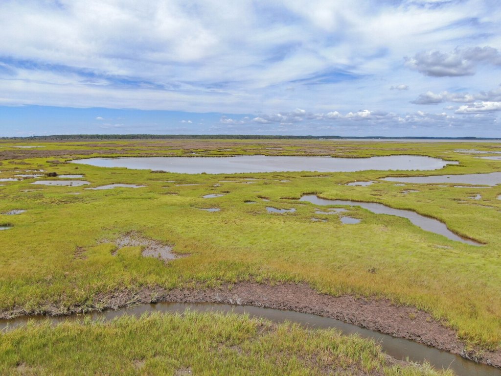
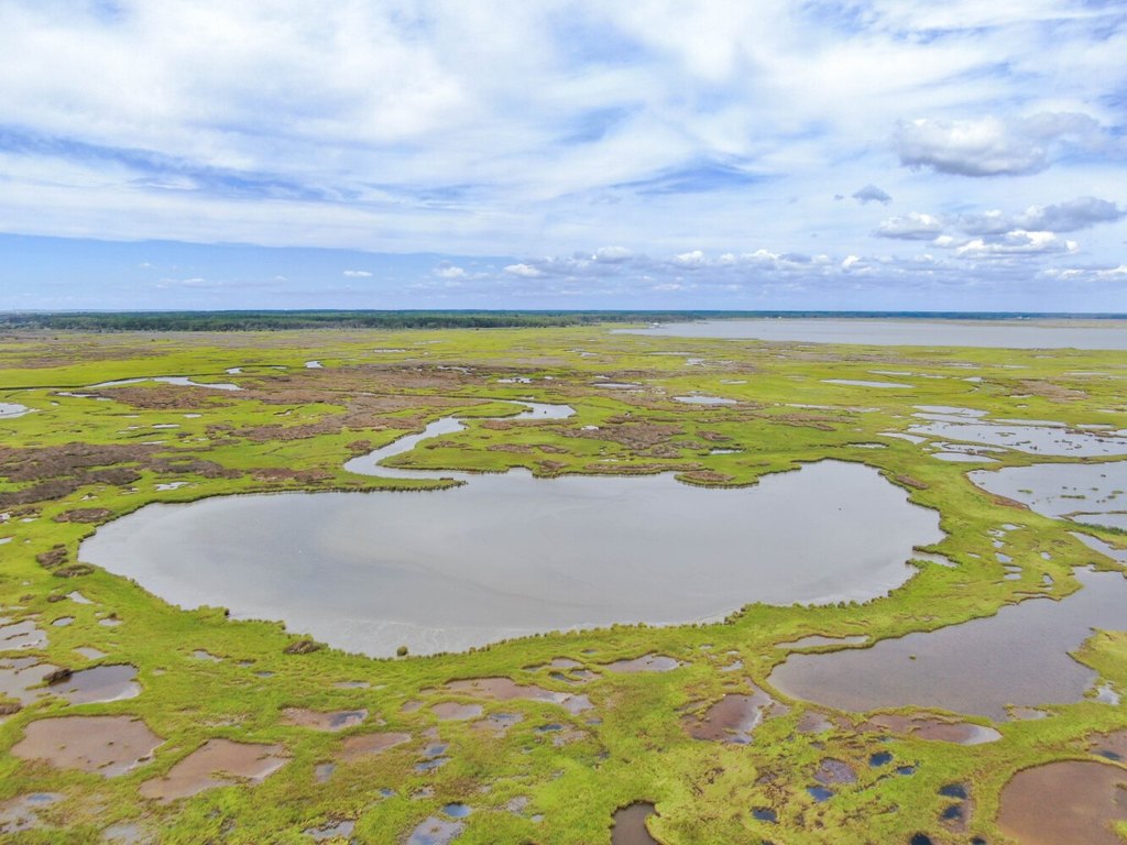
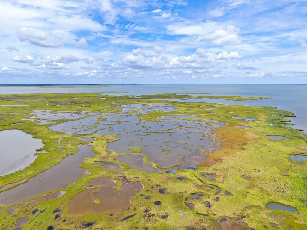
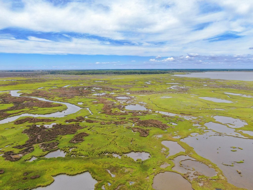
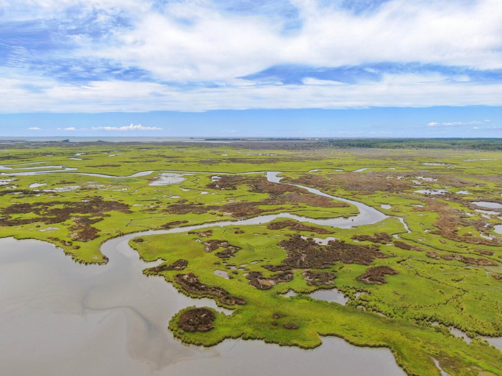
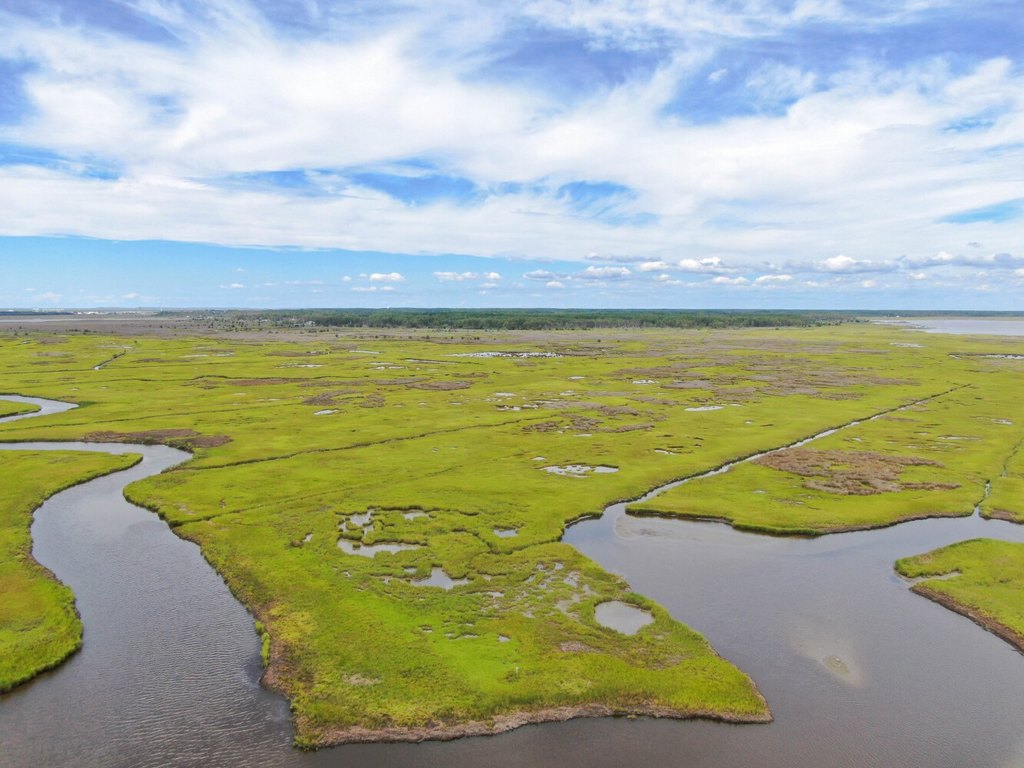
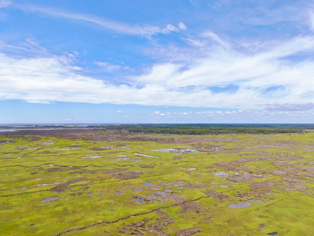
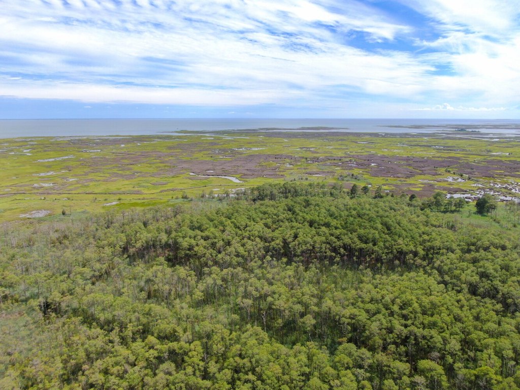
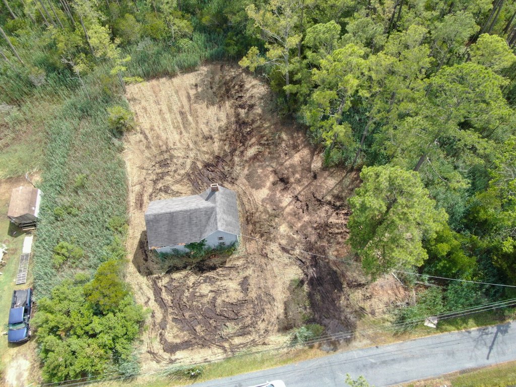
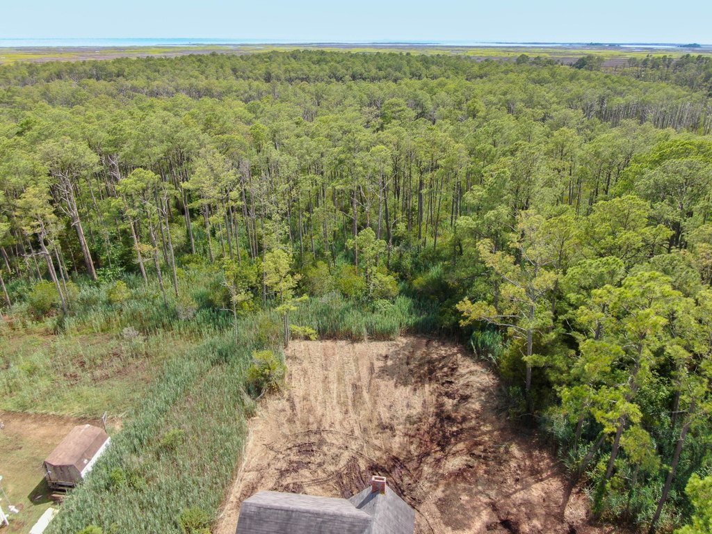
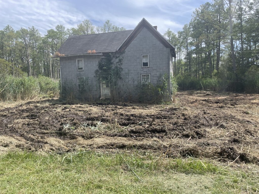
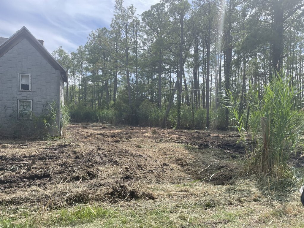
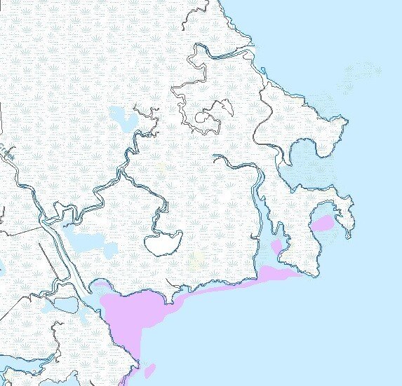
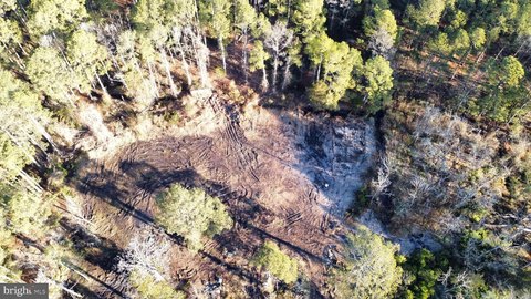
This waterfront land property includes a 0.77-acre lot on Calvary Road, approximately 50 acres of timber, and roughly 551 acres of salt marsh. The marsh and wooded areas provide habitat for waterfowl, whitetail deer, and other wildlife, while 26 salt marsh ponds support wintering waterfowl habitat. A mix of hardwoods and pines forms the timber component.
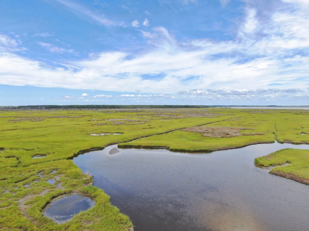
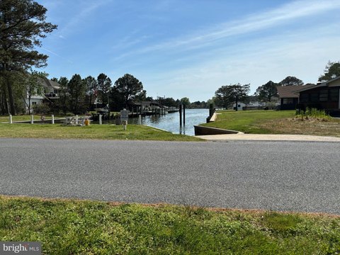
More than 3 miles of shoreline extend along the Pocomoke Sound and Ape Hole Creek. Several interior creeks provide access through the marsh, with opportunities for fishing and crabbing. The property is also reachable through the Calvary Road lot, which is described as buildable and suitable for access to the marsh and timber. A conservation easement sponsored by The Lower Shore Land Trust permits non-permanent structures for access and use.
More than 3 miles of shoreline extend along the Pocomoke Sound and Ape Hole Creek. Several interior creeks provide access through the marsh, with opportunities for fishing and crabbing. The property is also reachable through the Calvary Road lot, which is described as buildable and suitable for access to the marsh and timber. A conservation easement sponsored by The Lower Shore Land Trust permits non-permanent structures for access and use.
Key Highlights
- More than 3 miles of shoreline on the Pocomoke Sound and Ape Hole Creek
- 0.77‑acre lot on Calvary Road with access to the marsh and timber
- Approximately 50 acres of timber, including hardwoods and pines
Property Analytics
Unlock full access to Insights
Subscribe to Realmo Intelligence
Open Analytics
Current Use
Location Intelligence
Trade Area within ½ mile
3
Businesses Nearby
Explore this area
Business Placement
Demographics for 21817, MD
4,825
Population
2,511
Households
1.9
Avg Household Size
46
Median Age
22%
College-Educated
88%
High-School Grad
14.5 sq mi
ZIP Area
333
Density / Sq Mi
$53,139
Median Household Income
$32,051
Median Earnings
$729
Median Rent
$159,600
Median Home Value
Check the figures for this property
Cap Rate, Value Estimation, Potential NOI and more
View Realmo Analytics

Questions? Ask Rey
Realmo’s AI knows this listing — price, zoning, demand, history. Ask anything.





Frequently Asked Questions
What type of property is this?
Waterfront Land - Salt marsh and timber acreage offers water access, wildlife habitat, and placement of non-permanent structures under a conservation easement.
Where is this waterfront land located?
The property is located at 2746 Calvary Road Crisfield, MD.
What is the asking price?
The asking price for this property is $499,000.
What are key features of this property?
This property features: More than 3 miles of shoreline on the Pocomoke Sound and Ape Hole Creek; 0.77‑acre lot on Calvary Road with access to the marsh and timber; Approximately 50 acres of timber, including hardwoods and pines



