Waterfront Land with RV
2610 Highway 4 Jay, FL 32565
2610 Highway 4, Jay, FL, 32565
$3,500,000
For Sale
$3,500,000
LAND - Jay, FL
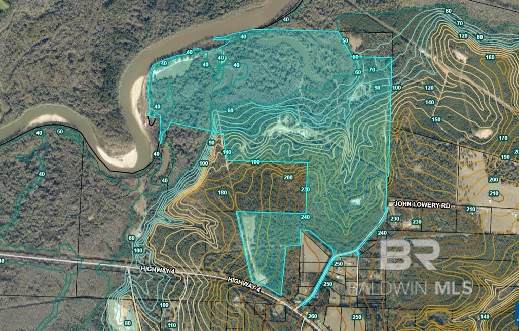
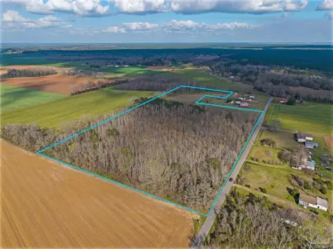
Lot Size320.55 Acres
Days on Market364
Property Features for 2610 Highway 4
General Information
- Property type
- Land
- Property subtype
- Other
- Zoning
- 2+ Family Residence,Other
- Standard status
- Active
- APN
- 40-5N-30-0000-00100-0000
- Lot size
- 320.55 Acres
Taxes and HOA fees
- Tax Description
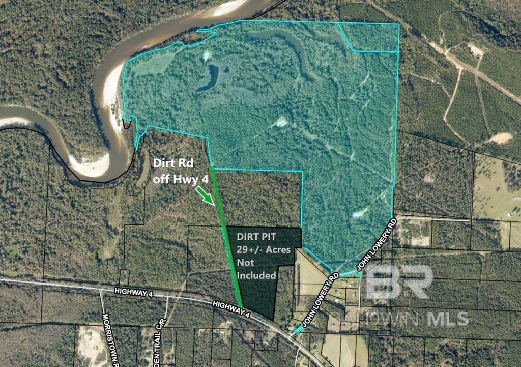
- (2) Parcels: Less & except 29+/- acres (gravel pit) out of parcel 40-5N-30-0000-00100-0000 & 40-5N-30-0000-00106-0000
Utilities
- Water front features
- River Front, Lake Front
- Water front
- 1
Listing Agency
PHD Realty, LLC
(251) 368-1063
1812 South Main Street, Atmore, FL
Listed by
Patty Helton Davis · License #0000614770
(251) 368-1063
Added: Jul 23, 2025 Updated: Jul 18 at 2:59 am Checked: Jul 21 at 3:06 am
MLS# 382648
Listing URL
Copyright © 2026 Baldwin REALTORS®. All rights reserved. All information provided by the listing agent/broker is deemed reliable but is not guaranteed and should be independently verified.
Investment Insights
Based on property information with market context.
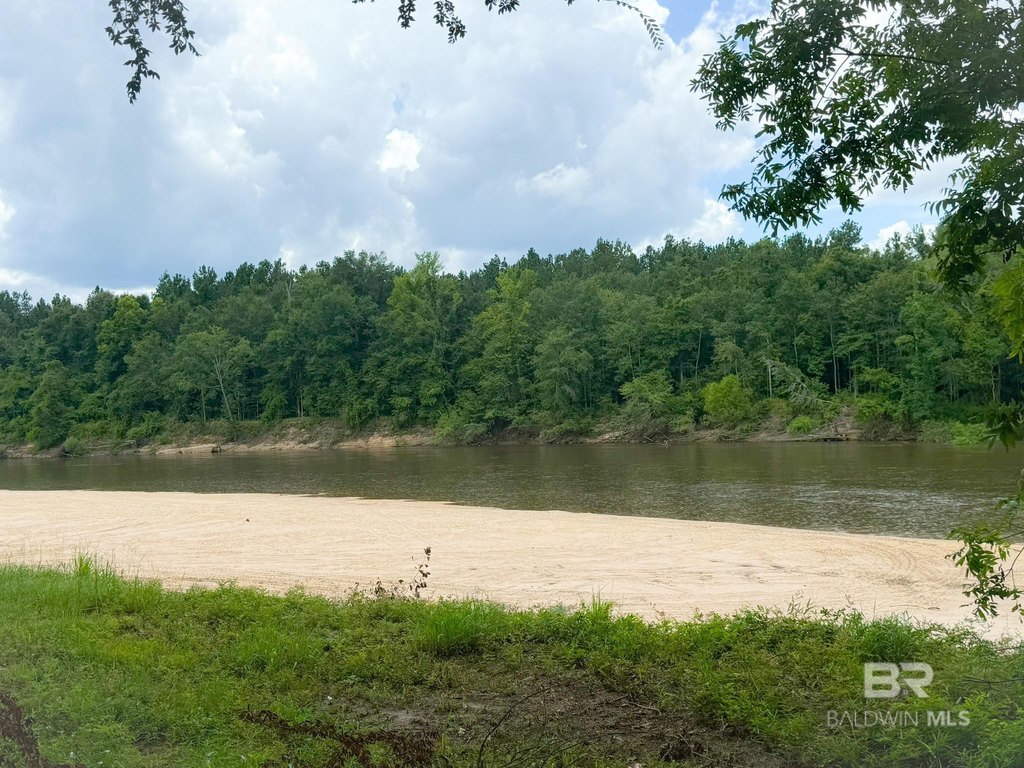
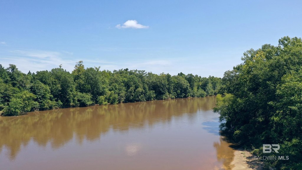
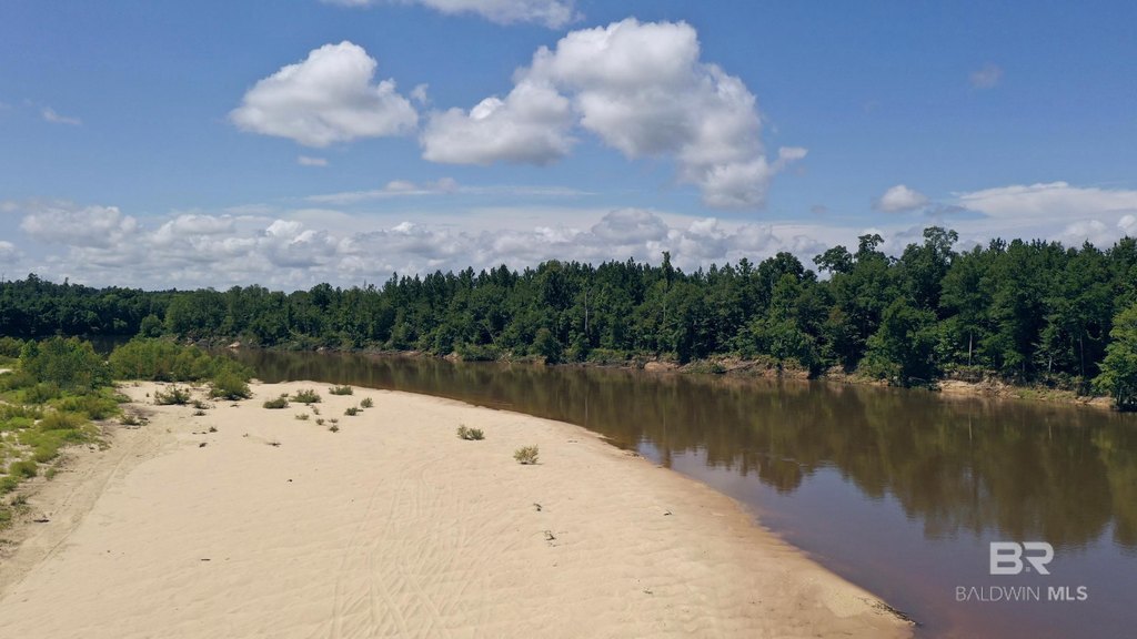
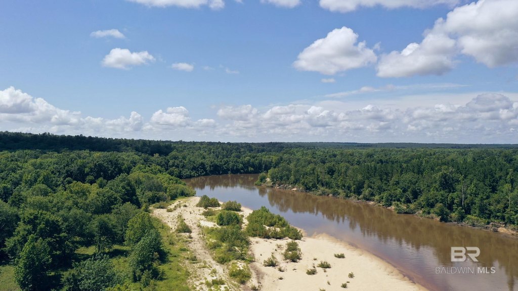
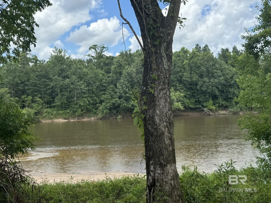
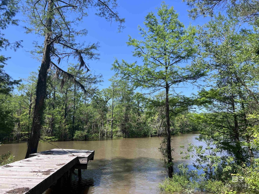
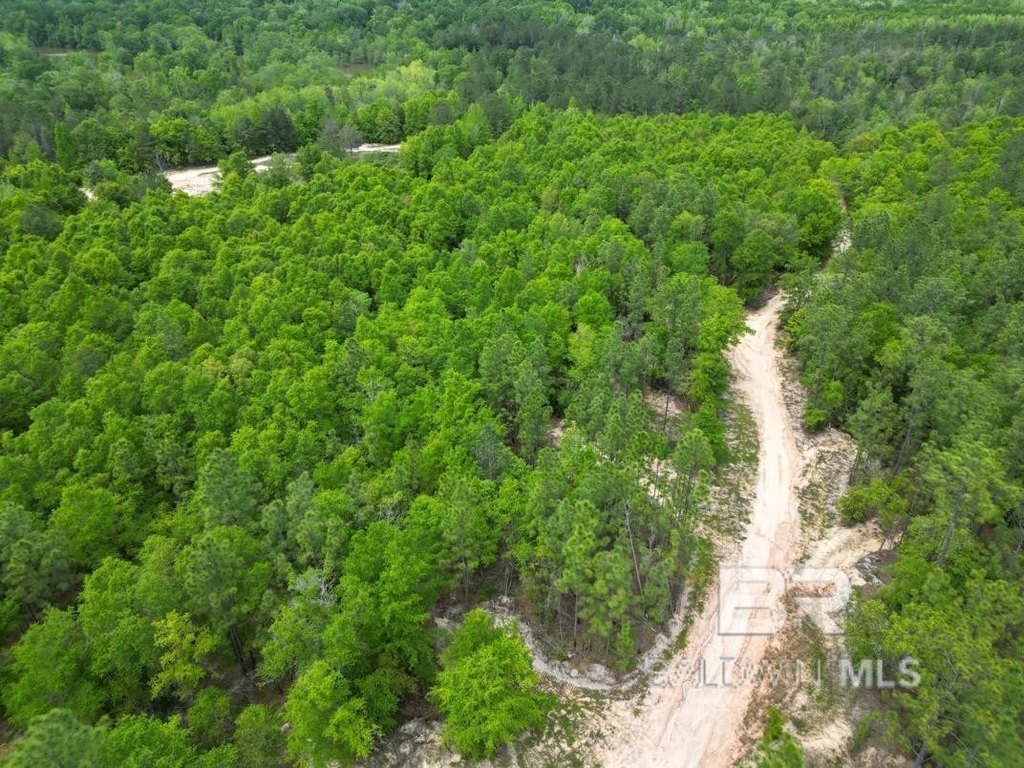
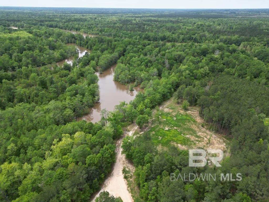
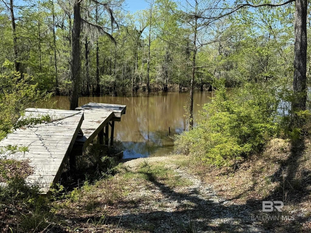
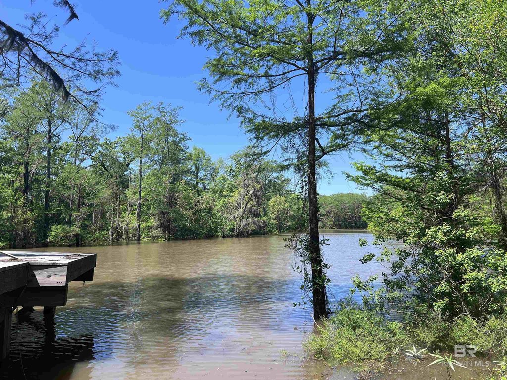
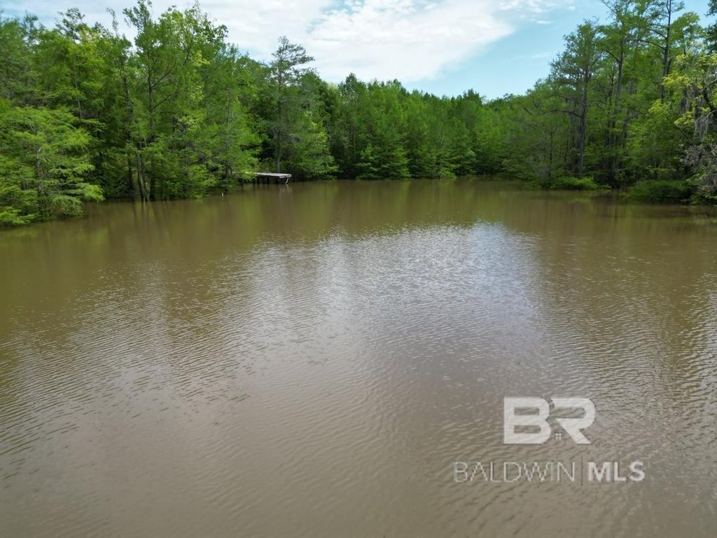
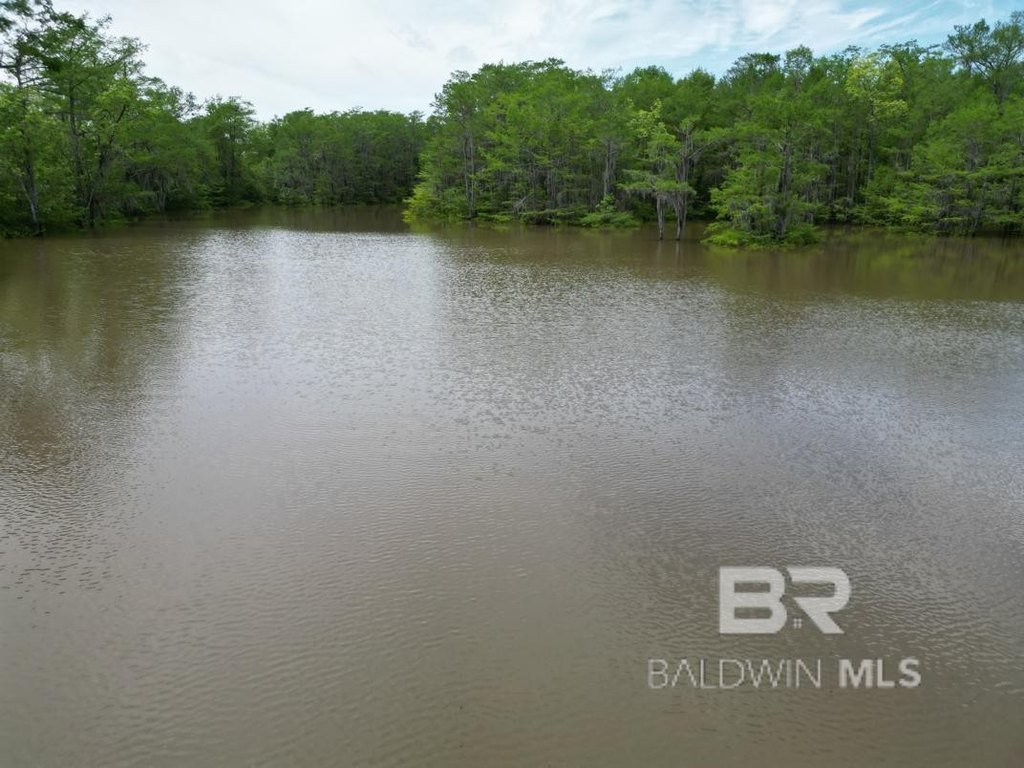
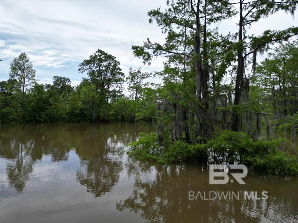
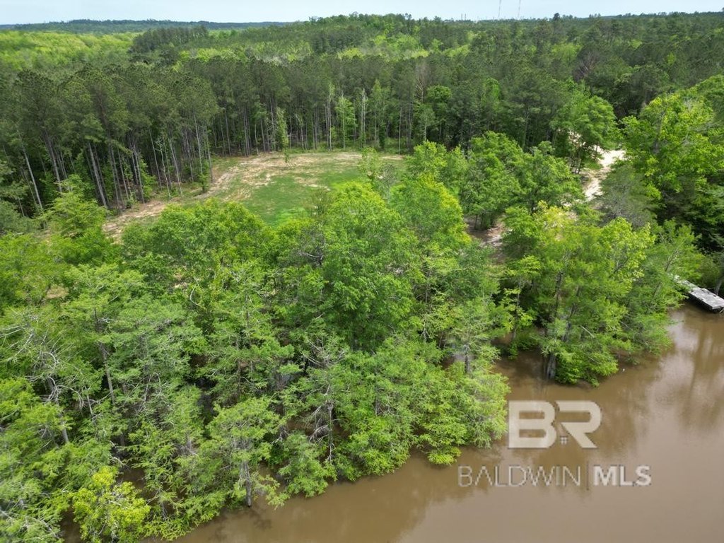
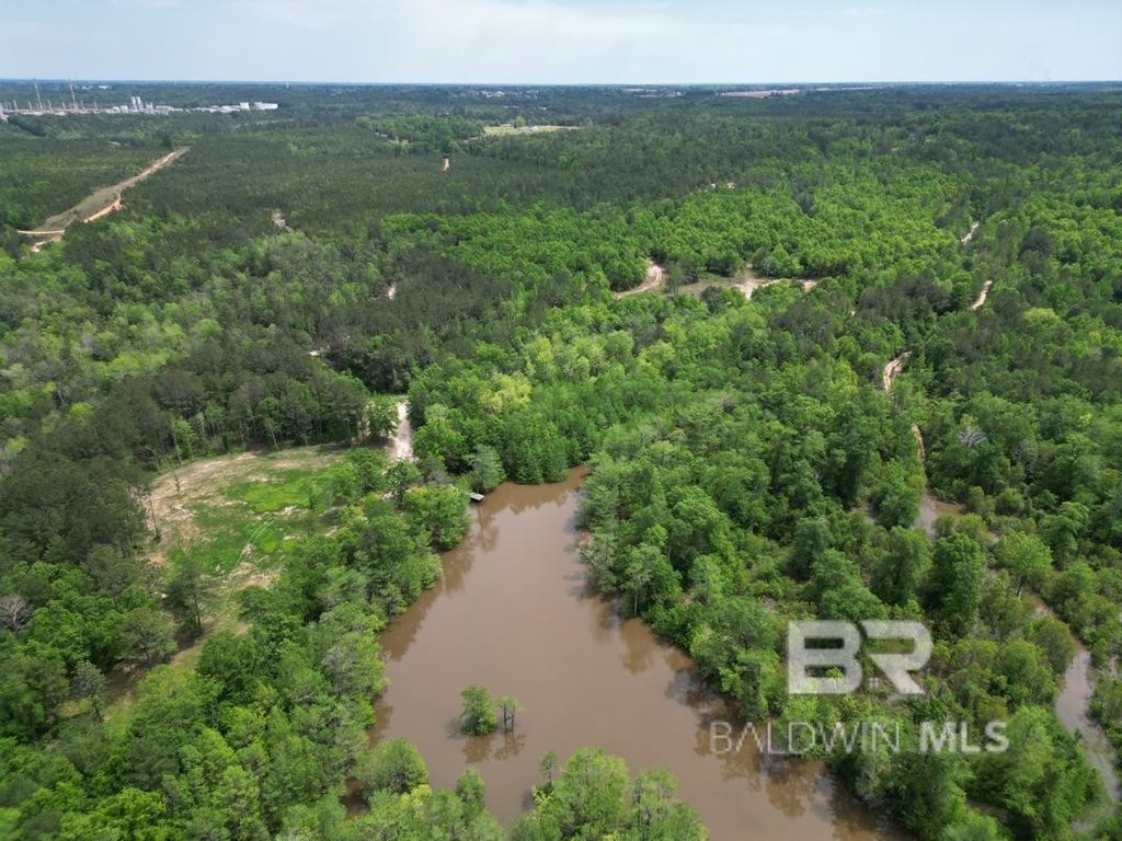
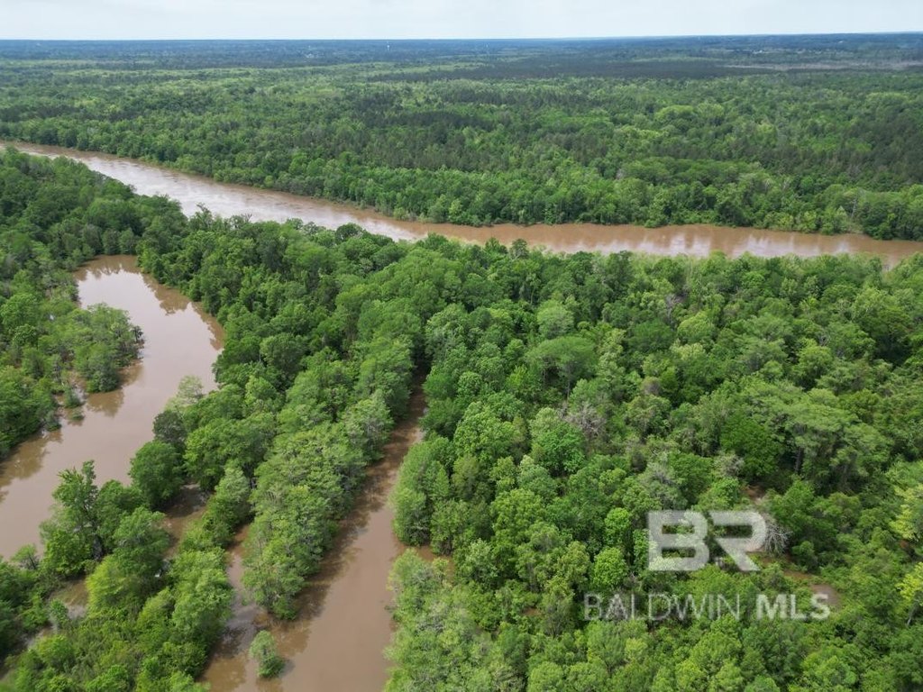
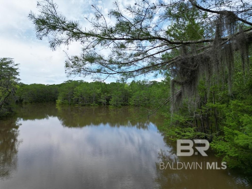
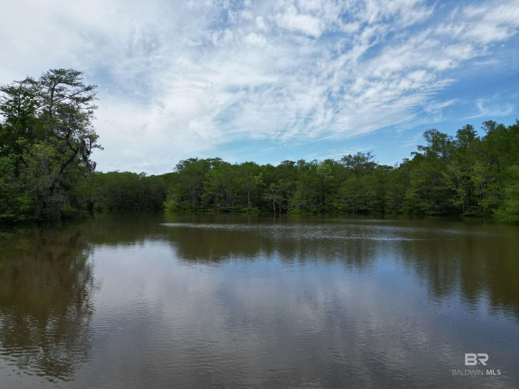
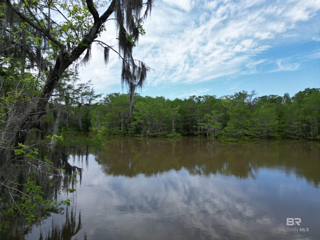
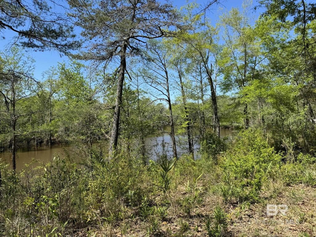
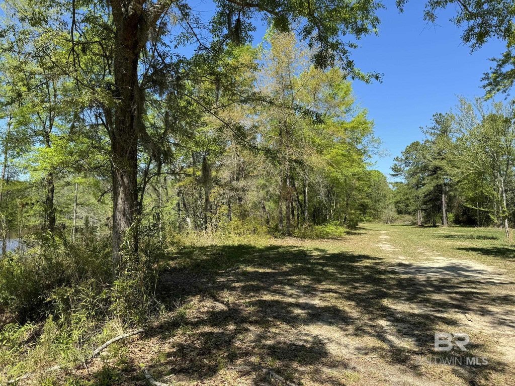
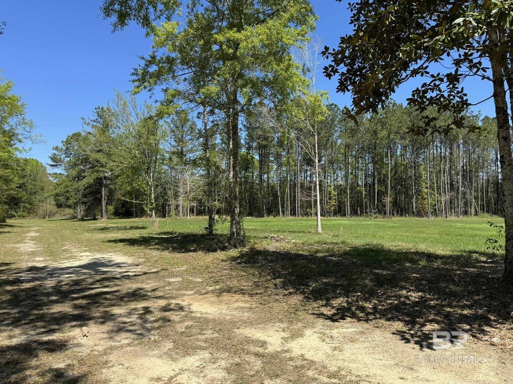
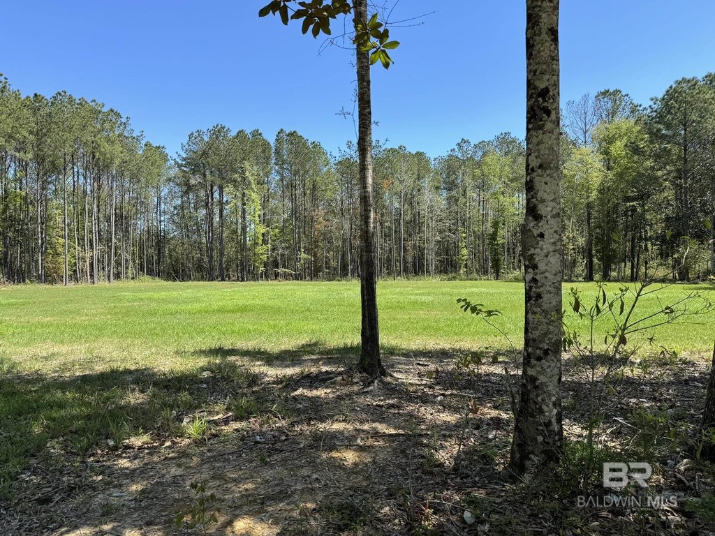
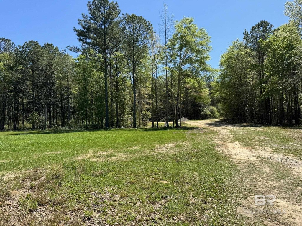
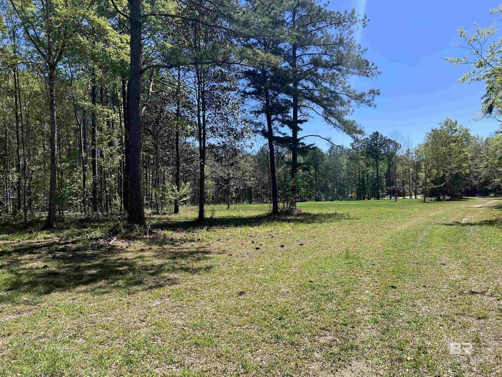
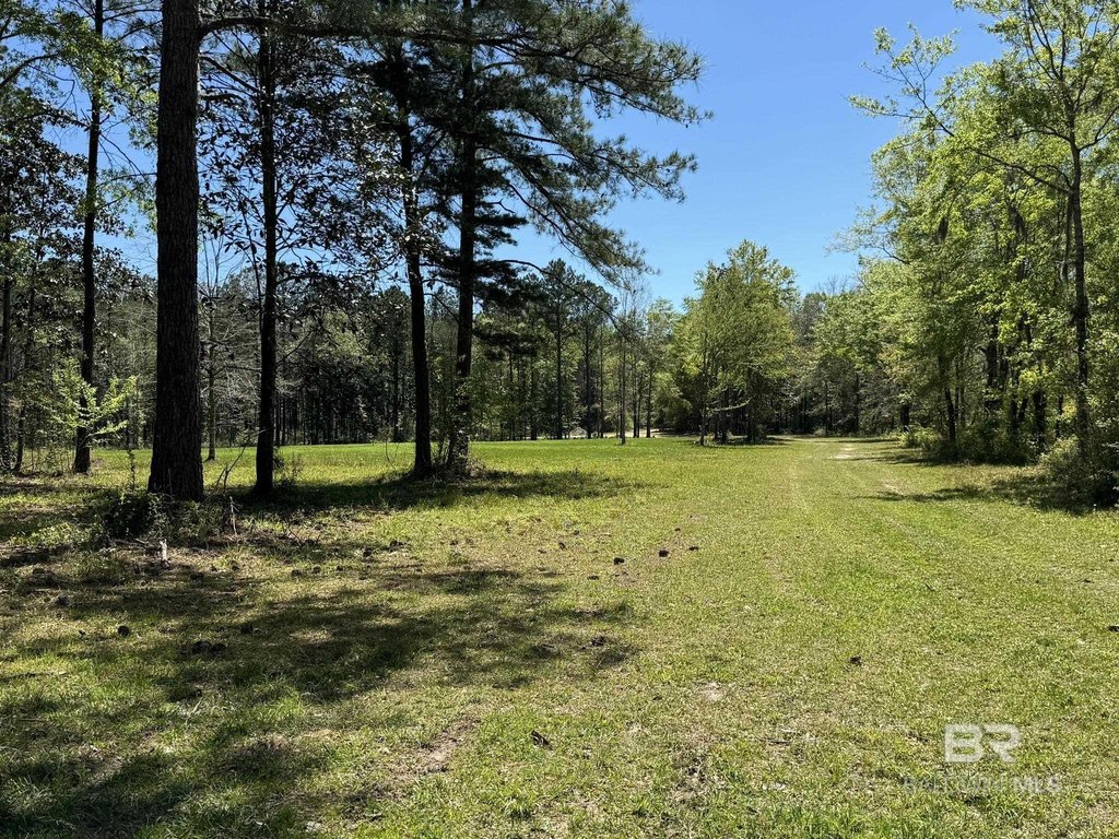
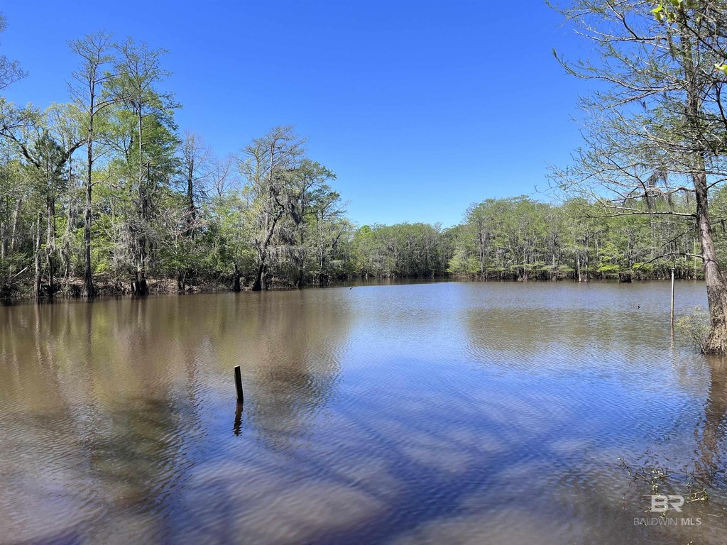
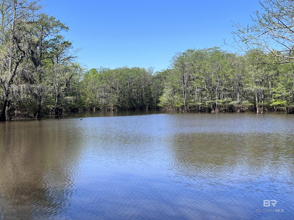
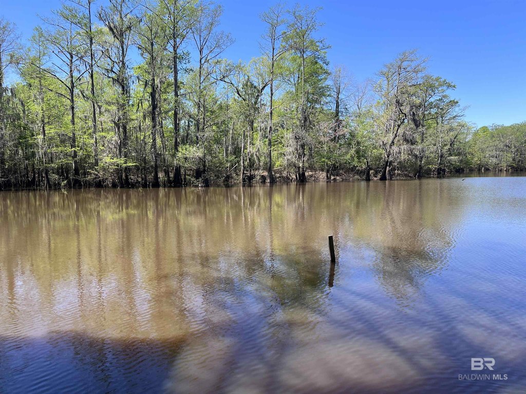
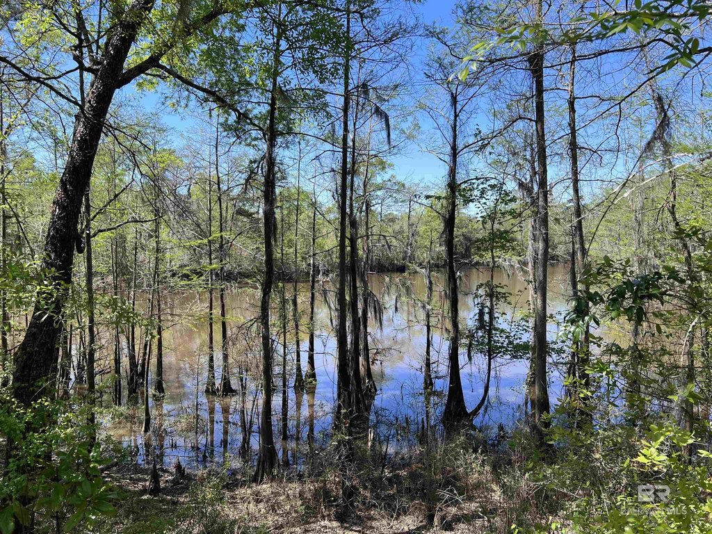
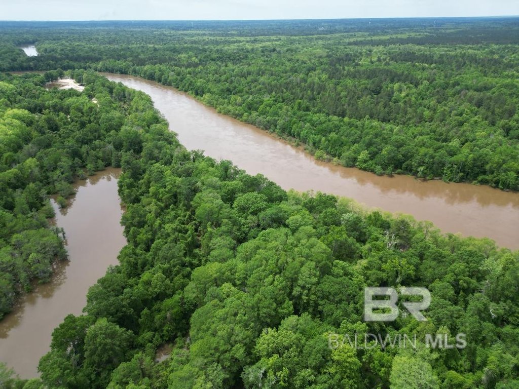
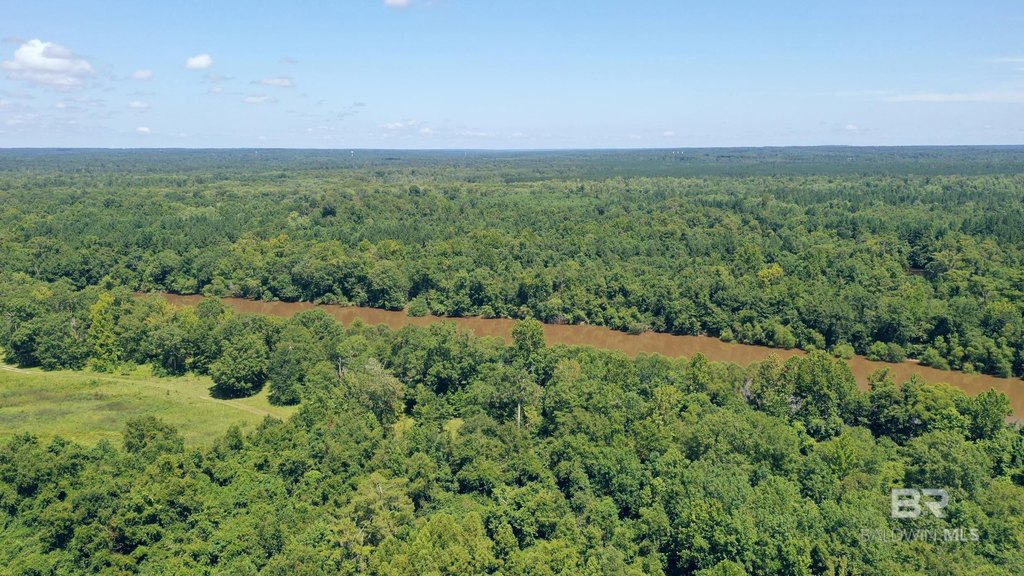
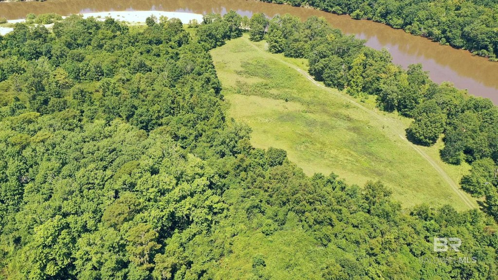
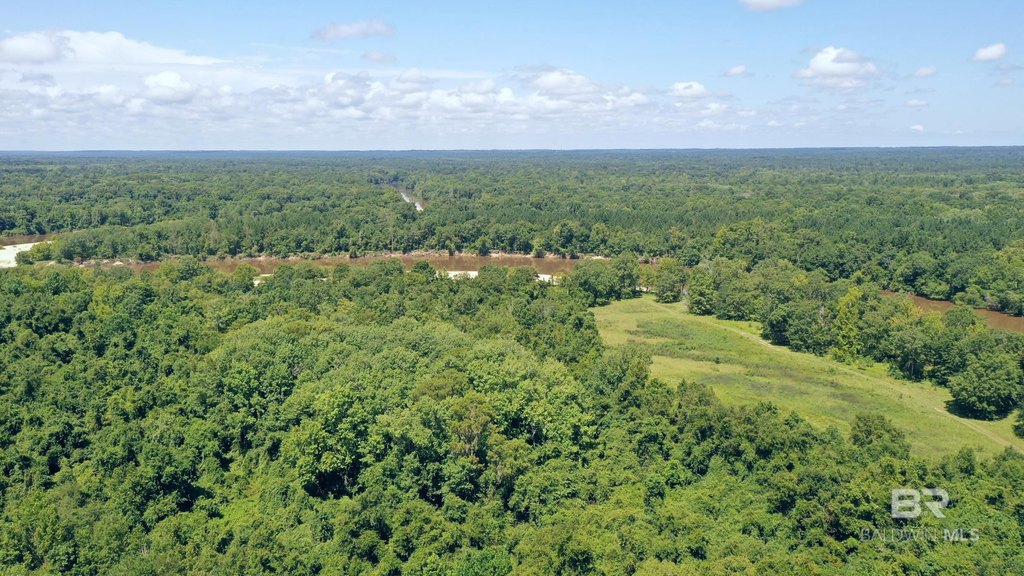
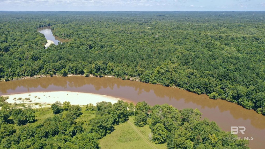
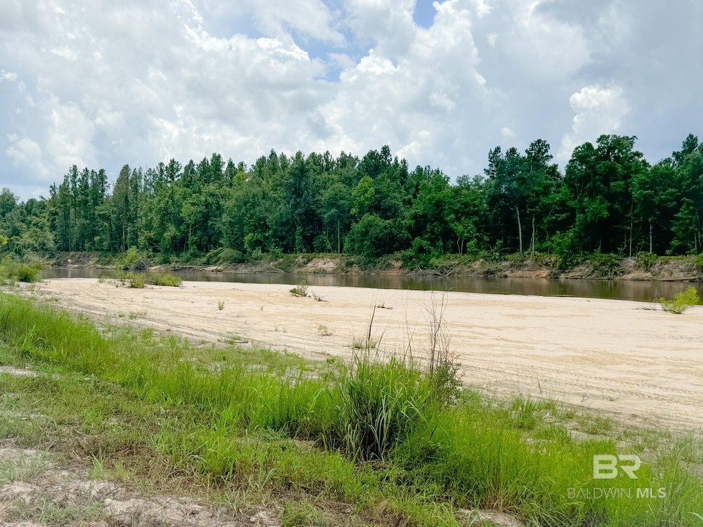
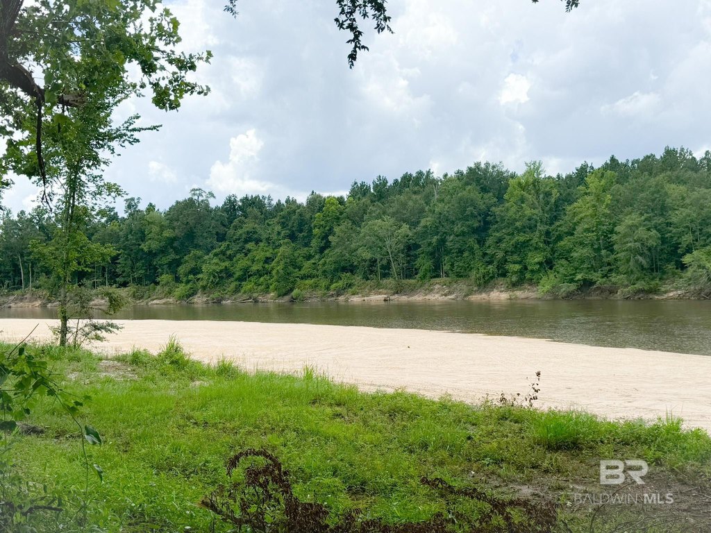
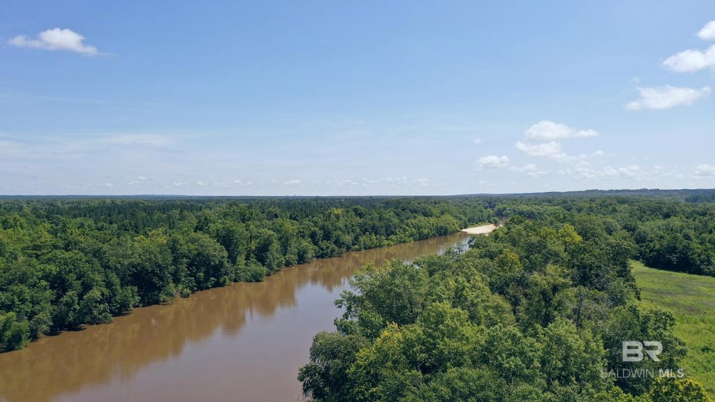
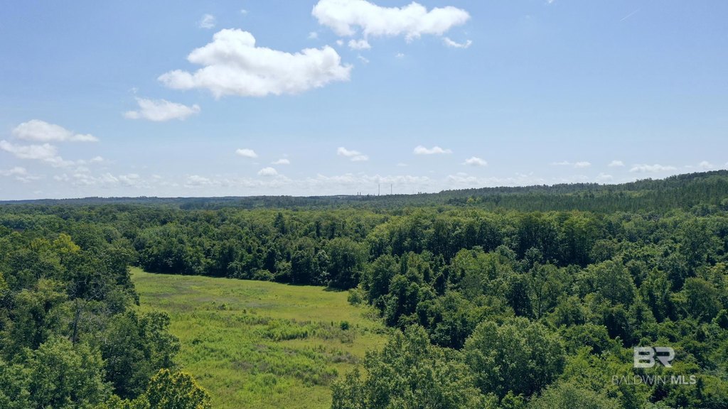
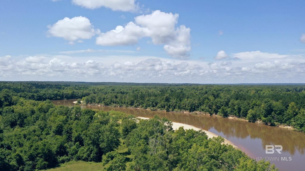
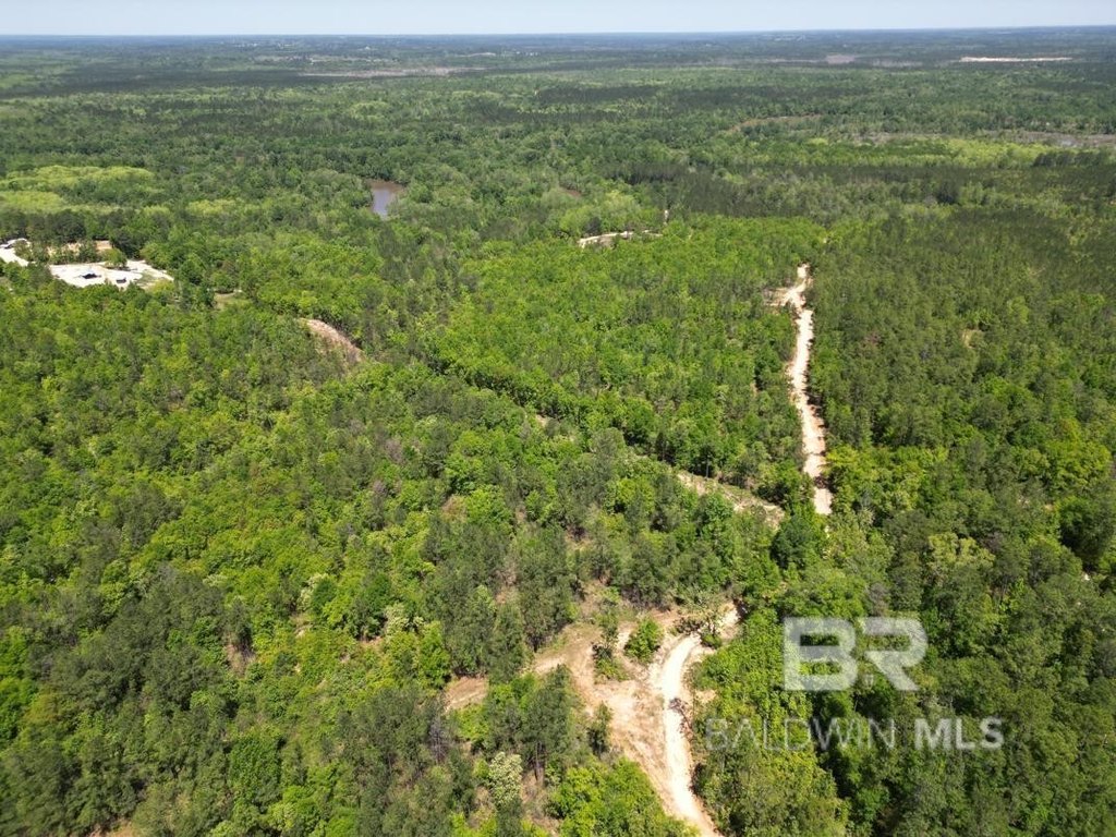
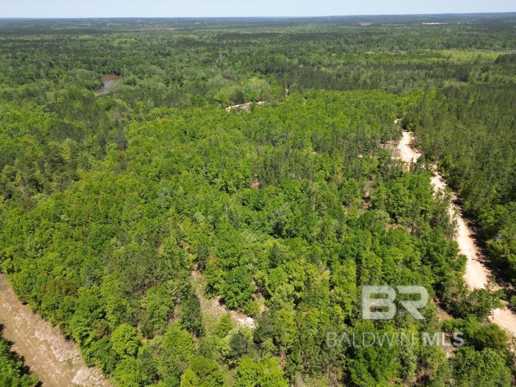
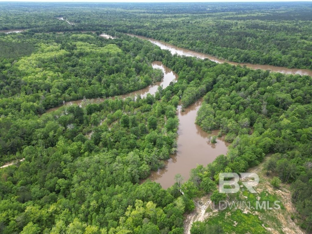
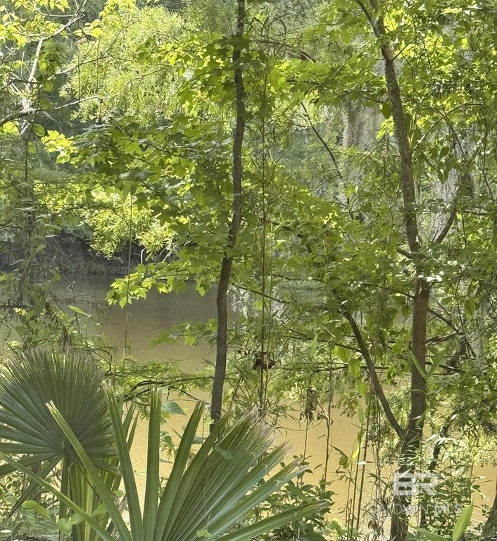
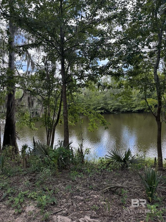
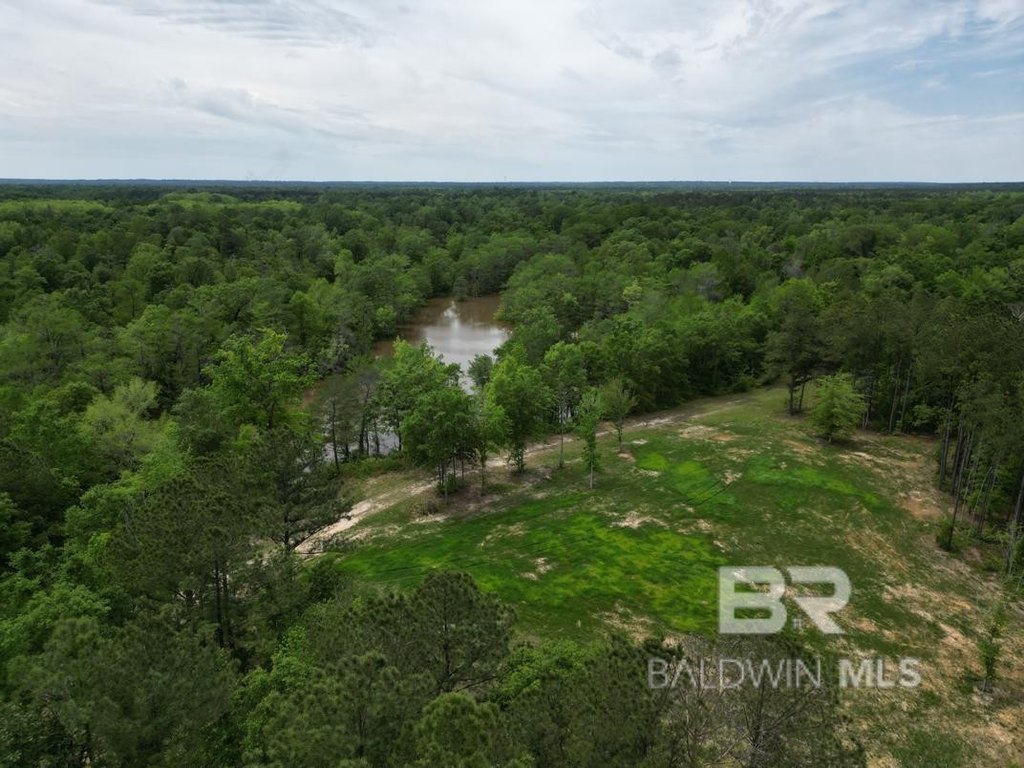
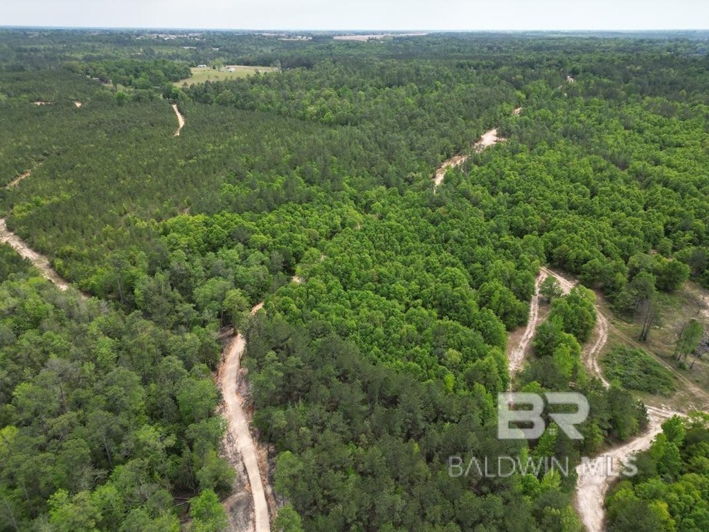
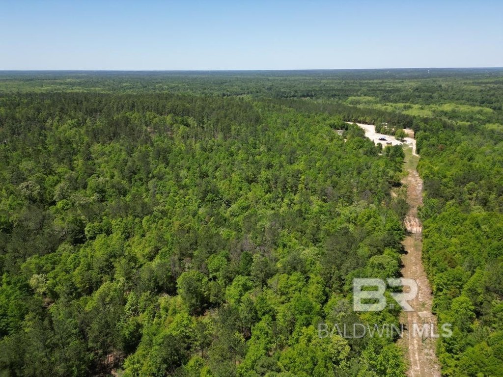
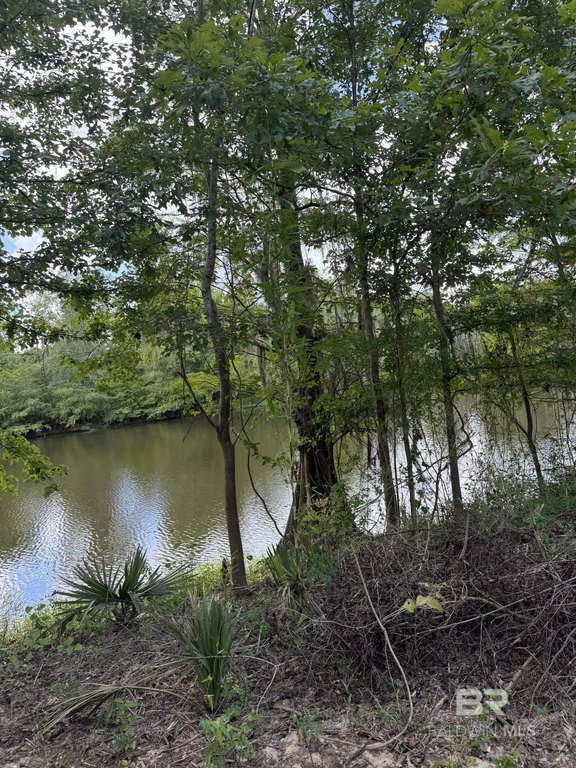
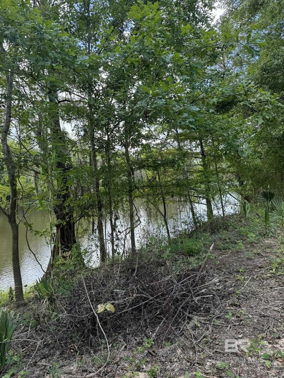
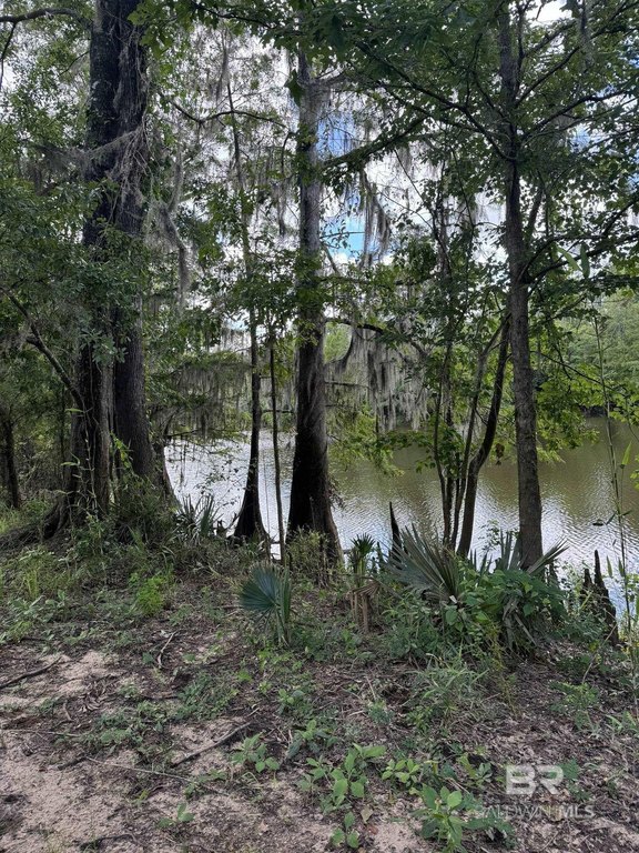
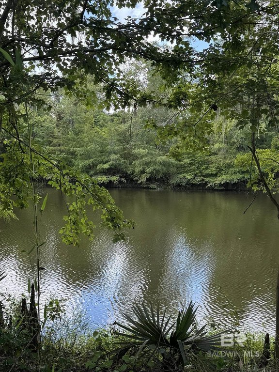
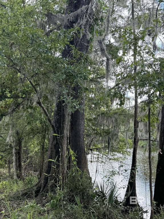
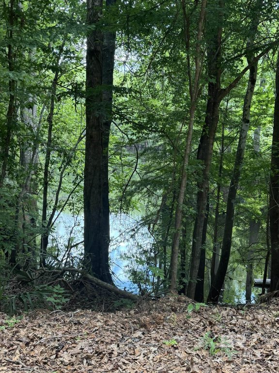
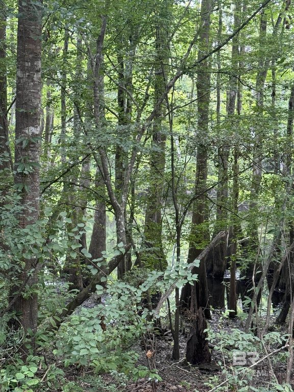
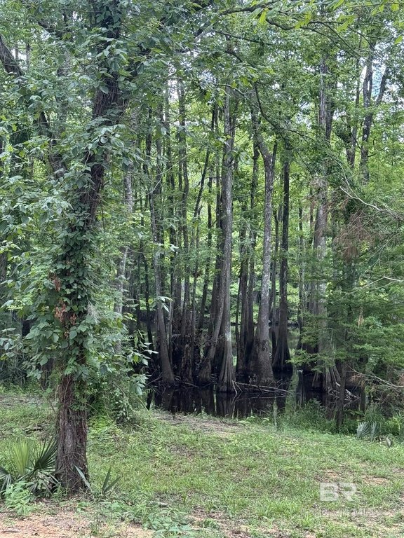
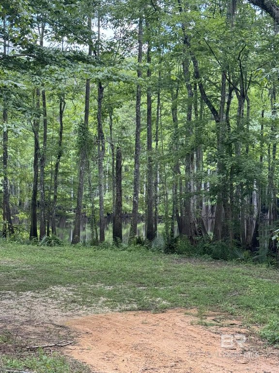
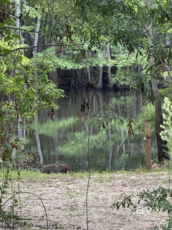
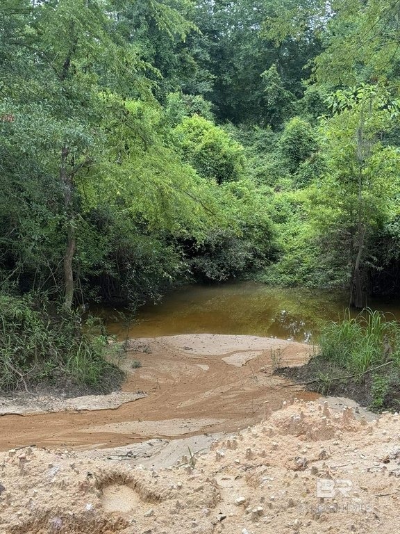
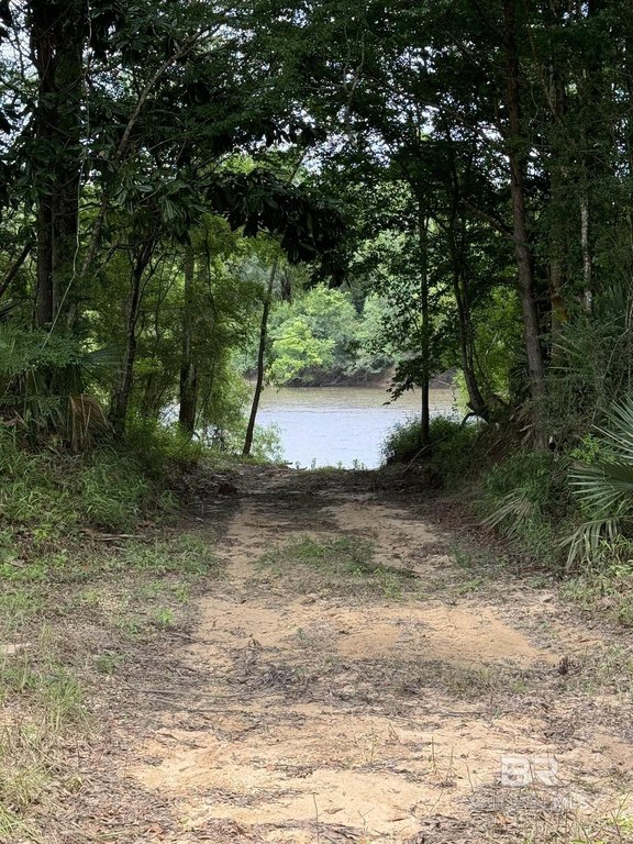
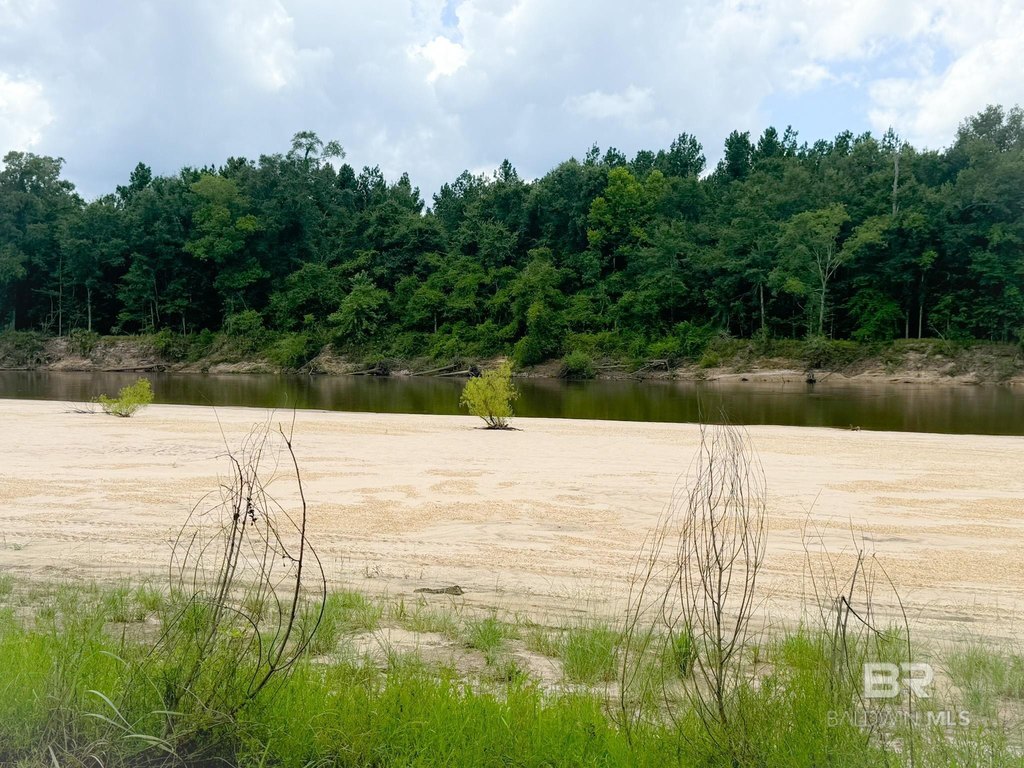
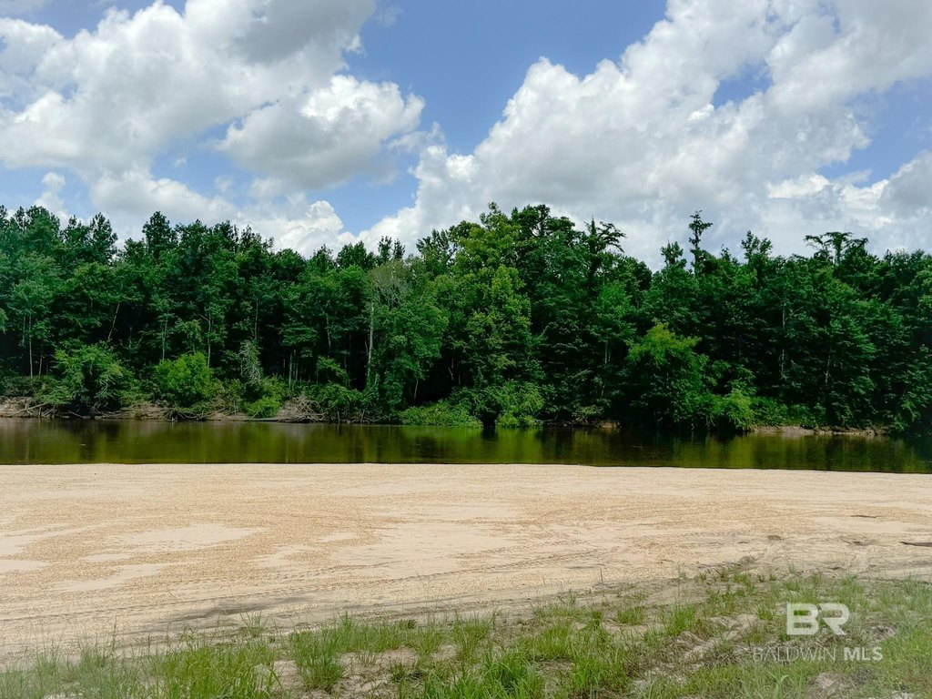
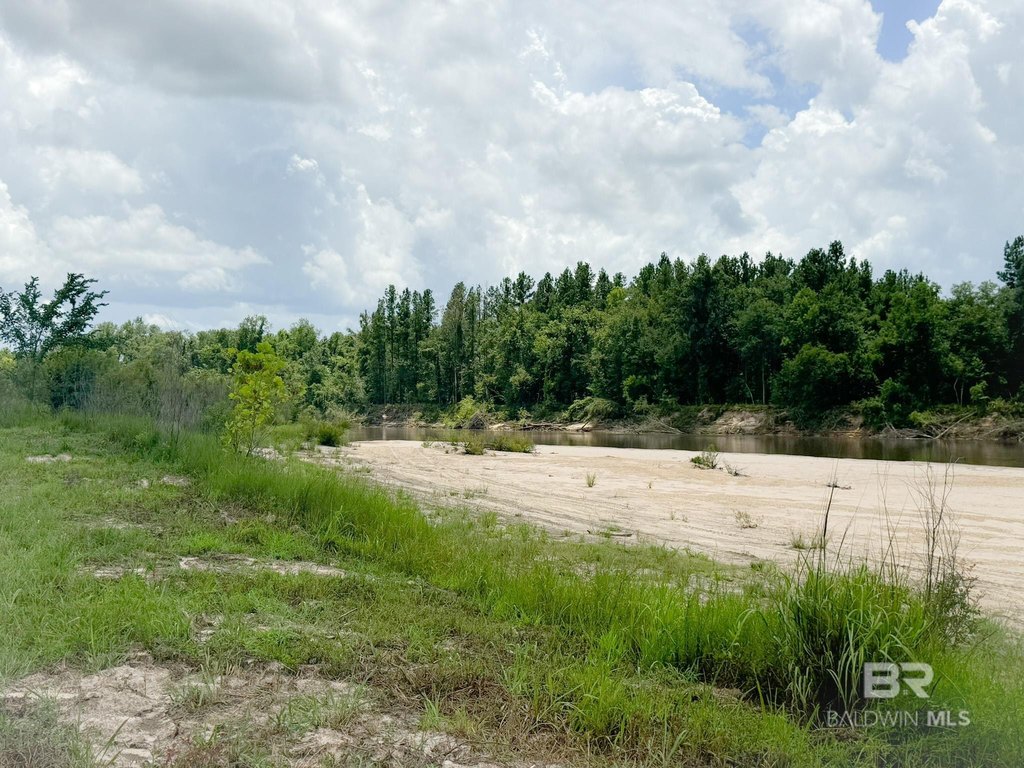
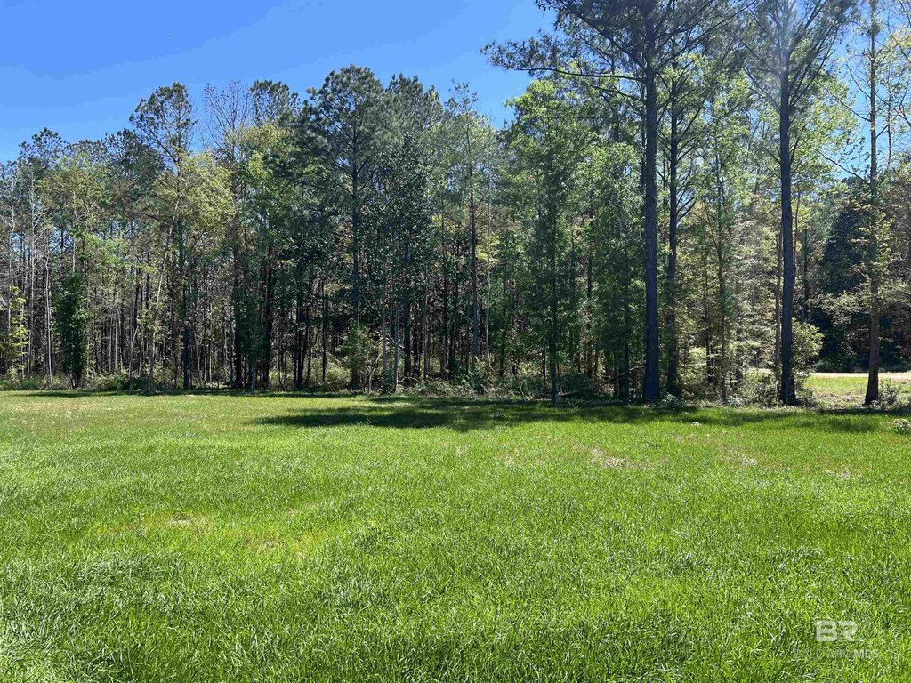
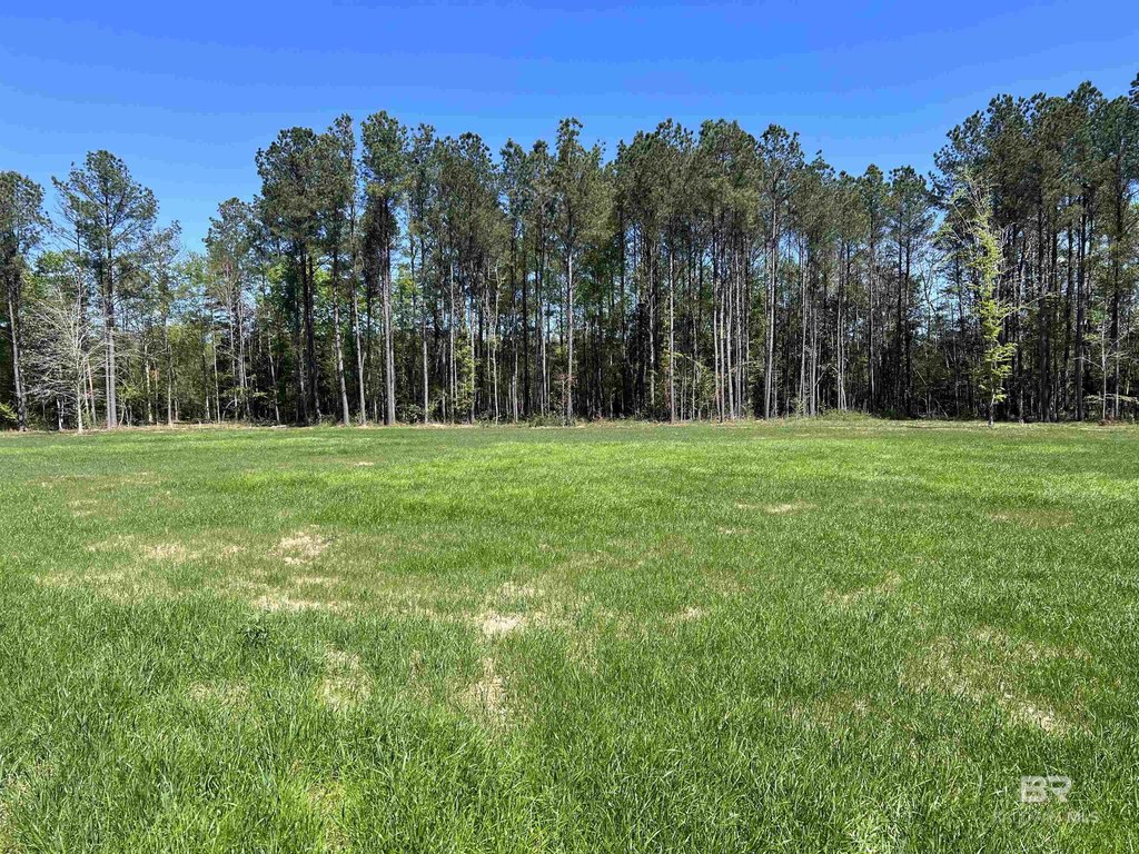
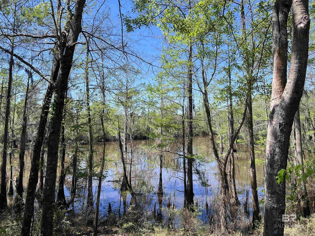
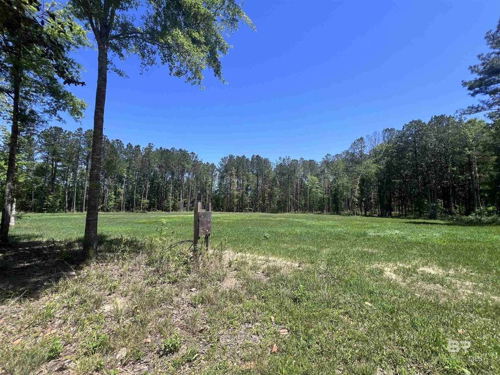
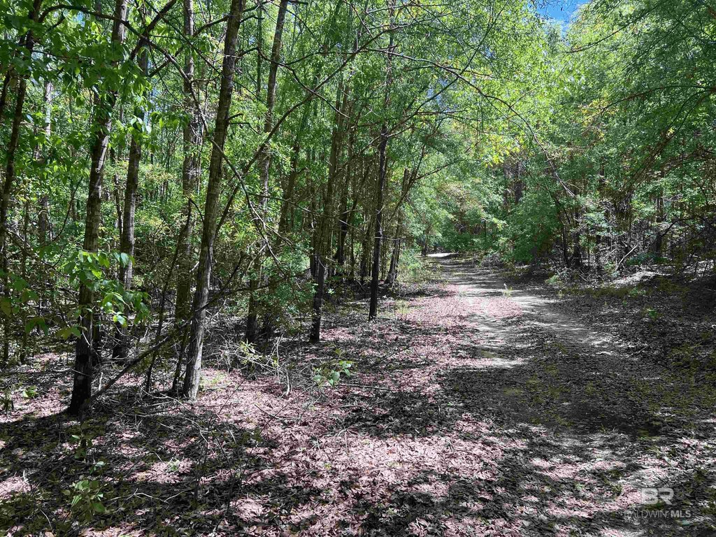
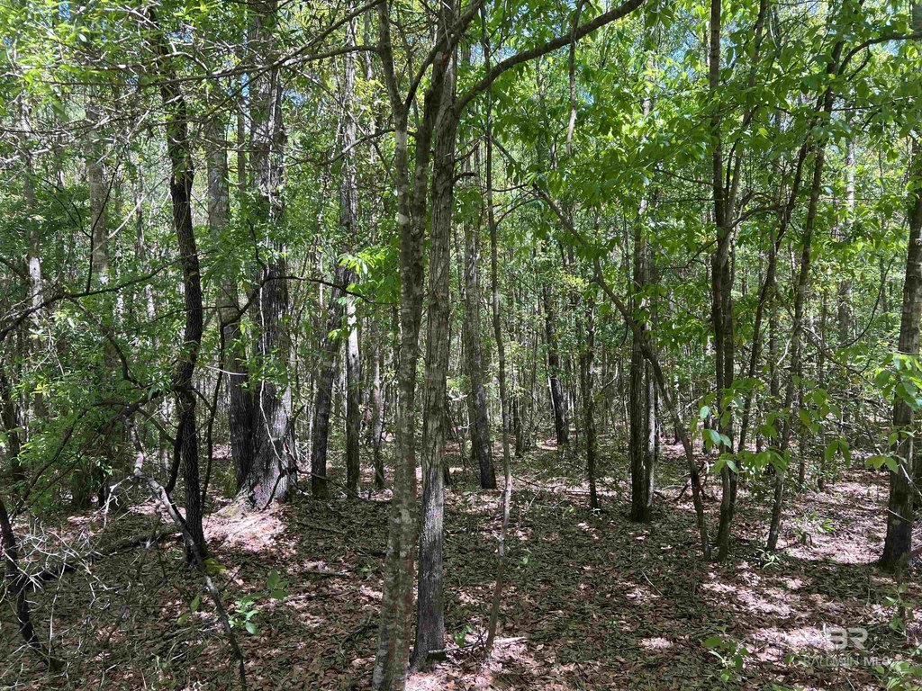
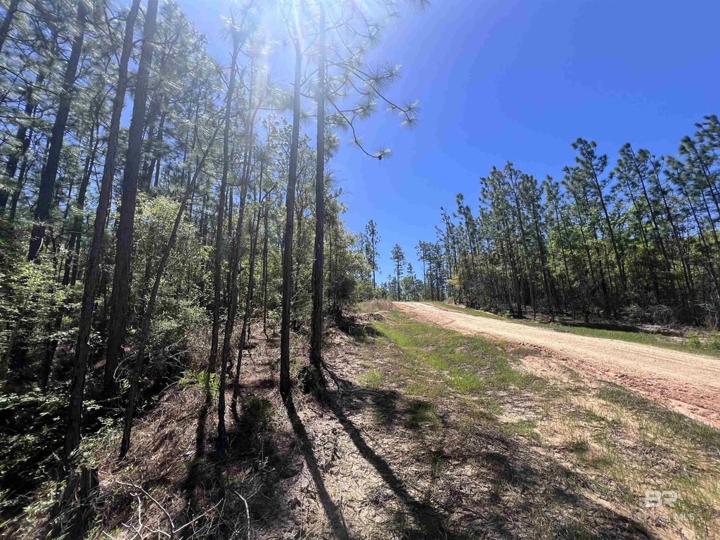
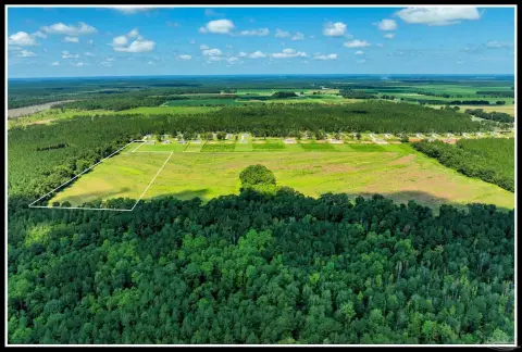
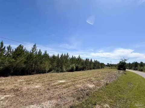
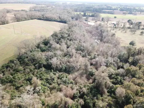
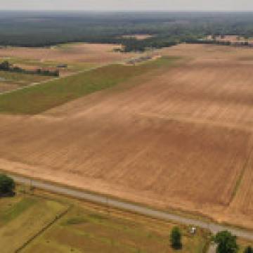
This waterfront land offering totals 320.545 acres along the Escambia River and includes 1,604 feet of river frontage, plus frontage on three lakes. An RV-ready foundation is already in place, including six completed RV pads with power, a well, one septic tank, partial natural gas, and a dump station. The property also includes partial natural gas and electricity infrastructure through EREC, with recorded covenants and restrictions.
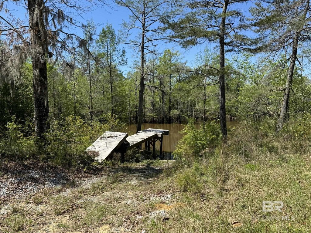
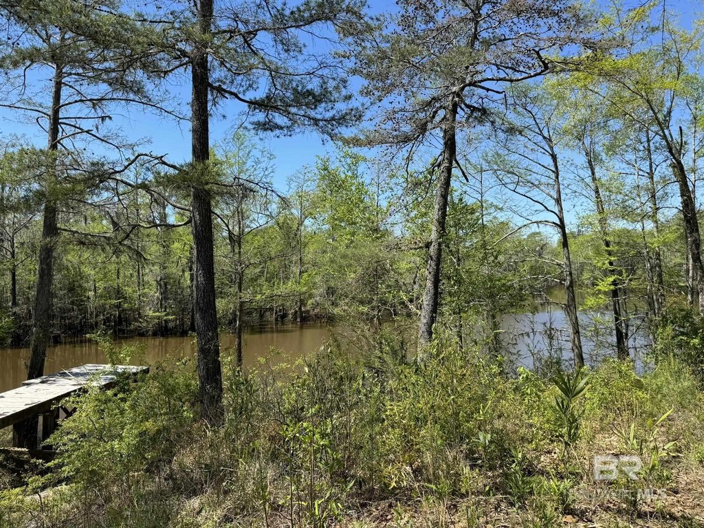
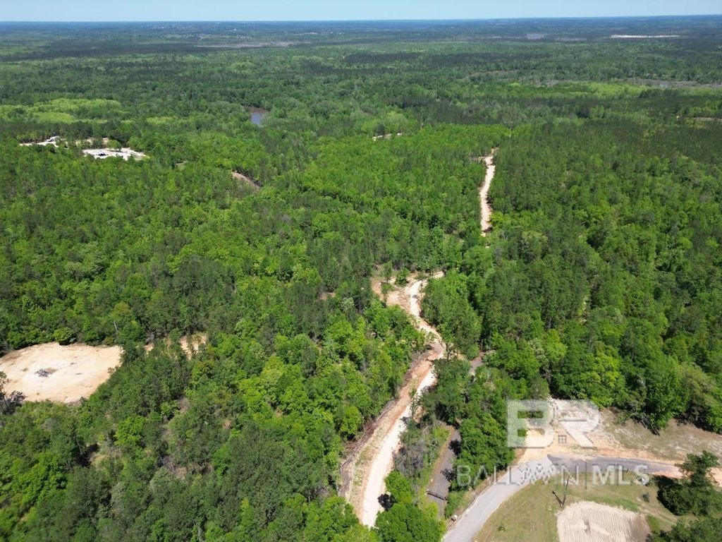
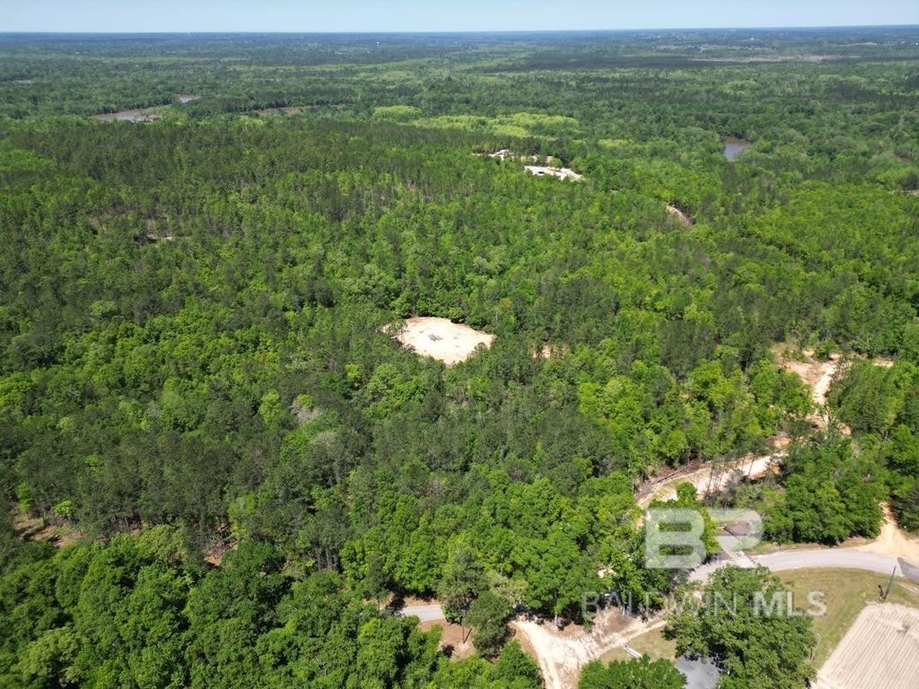
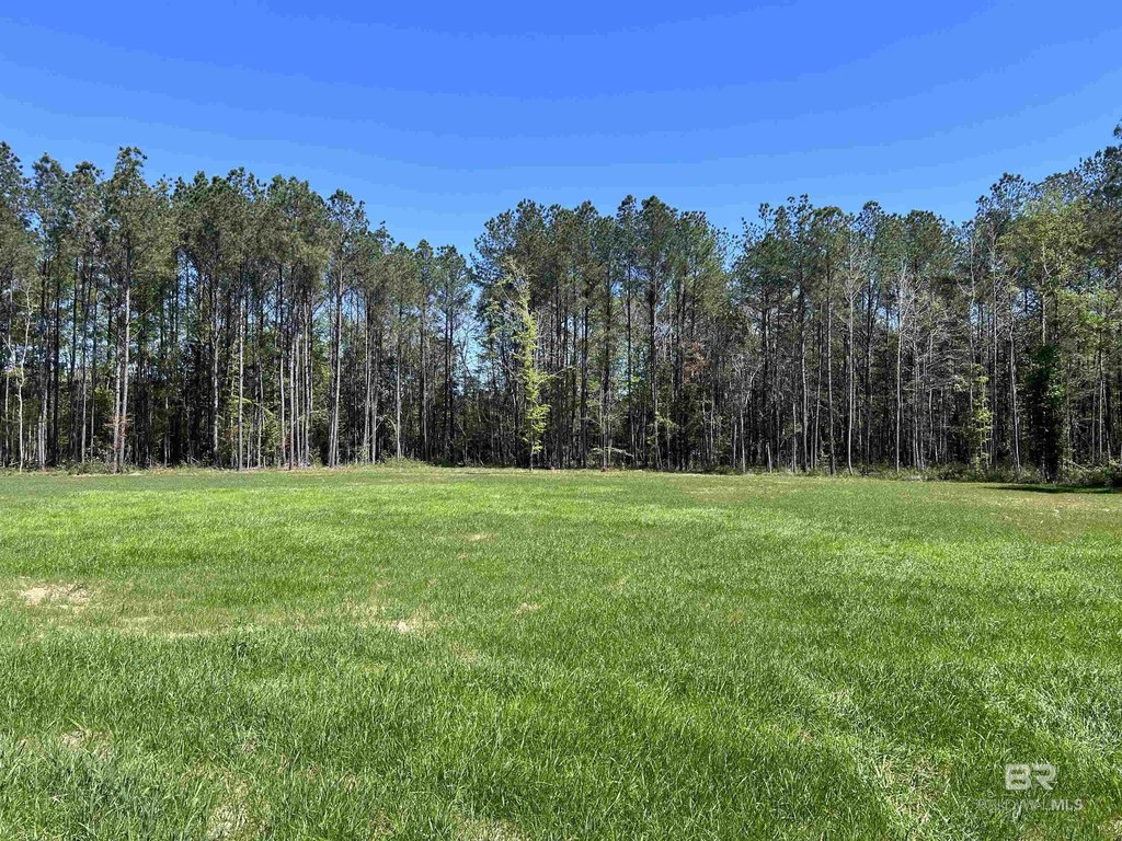
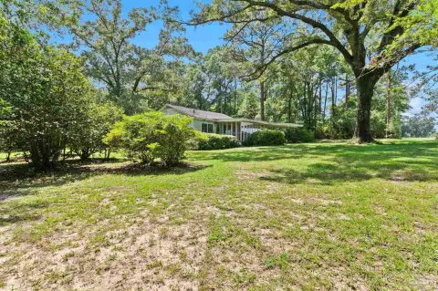
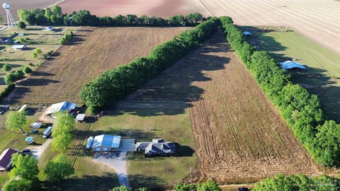
Improvements include two structures moved onto the property: a 24x36 pole barn with bathroom facility and a 16x24 gazebo by the river, along with a 16x16 cabin, a 24x38 church building, and a 24x32 school building. There are three boat ramps to the lakes and one to the river, plus dry camping areas and improved internal roads leading to homesite options near the lakes and river.
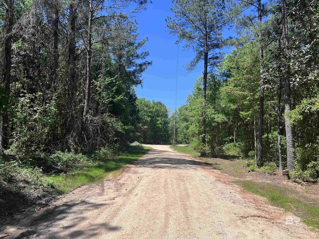
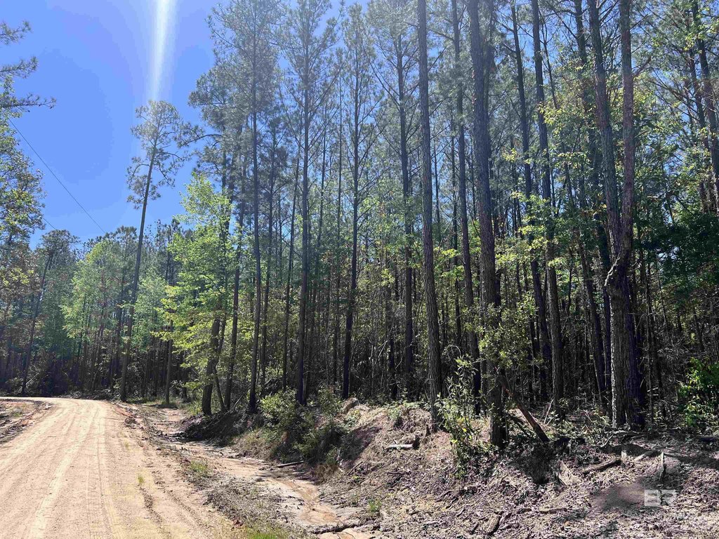
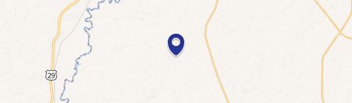
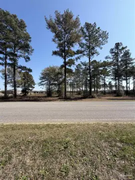
Road access features approximately 1,400 feet of paved frontage on John Lowery Rd (county-maintained) and an easement off Hwy 4. The tract is located in Santa Rosa County near Jay, positioned just south of the Alabama state line between Jay and Century, and within about 37 miles north of Pensacola and 20 miles north of Pace. Buyer to verify all information during due diligence.
Improvements include two structures moved onto the property: a 24x36 pole barn with bathroom facility and a 16x24 gazebo by the river, along with a 16x16 cabin, a 24x38 church building, and a 24x32 school building. There are three boat ramps to the lakes and one to the river, plus dry camping areas and improved internal roads leading to homesite options near the lakes and river.
Road access features approximately 1,400 feet of paved frontage on John Lowery Rd (county-maintained) and an easement off Hwy 4. The tract is located in Santa Rosa County near Jay, positioned just south of the Alabama state line between Jay and Century, and within about 37 miles north of Pensacola and 20 miles north of Pace. Buyer to verify all information during due diligence.
Key Highlights
- 1,600+ ft waterfront on the Escambia River plus frontage on 3 lakes
- Infrastructure in place: 6 completed RV pads with power, a water well, 1 septic tank, and a dump station
- Potential for up to 100 RV sites, with improved internal roads for homesite options near the lakes and river
Property Analytics
Property Profile
Location Intelligence
Current Use by Public Records
Waterfront Land
Similar For Sale Nearby


FAQs
What type of property is this?
Waterfront Land - 320+ acre Escambia River tract with paved road frontage and six completed RV pads.
Where is this waterfront land located?
The property is located at 2610 Highway 4 Jay, FL.
What is the asking price?
The asking price for this property is $3,500,000.
What are key features of this property?
This property features: 1,600+ ft waterfront on the Escambia River plus frontage on 3 lakes; Infrastructure in place: 6 completed RV pads with power, a water well, 1 septic tank, and a dump station; Potential for up to 100 RV sites, with improved internal roads for homesite options near the lakes and river