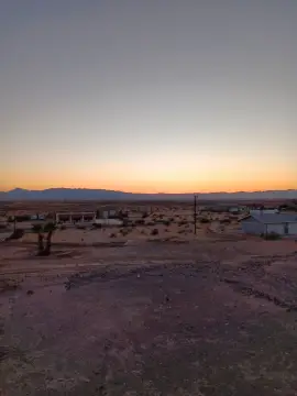
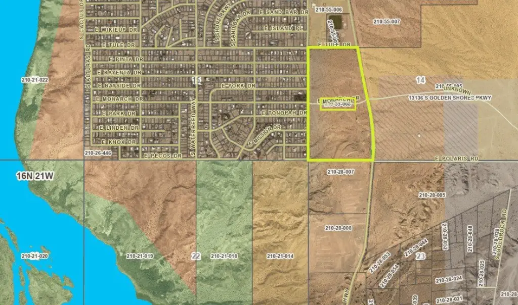
210-55-008 Route 66, Topock, AZ 86436
- Added:
- Sep 26, 2025
- Days on Market:
- 275
- Last Refresh:
- Jun 27 at 8:06 pm
Property Features for 210-55-008 Route 66
General Information
- Property type
- Land
- Property subtype
- Other
- Standard status
- Active
- APN
- 210-55-008
- Lot size
- 83.20 Acres
Taxes and HOA fees
- Tax Year
- 2024
- Tax Description
- GOV'T LOTS 6 & 7 AND THE SW4 SW4 LYING WITHIN SEC 14 CONT 83.2 AC RES 210-55-002 & 003 (210-55-007 & 008) 2007 TAX ROLL
- Tax Annual Amount
- 433

Listing agent Jessica Topol License #SA666220000 (928) 234-5616
Listing office Sondgeroth Real Estate Group, LLC 2031 Highway 95, Mojave, AZ (928) 716-8949
Listing date Sep 26, 2025
Copyright © 2026 Momentum MLS. All rights reserved. All information provided by the listing agent/broker is deemed reliable but is not guaranteed and should be independently verified.
HighLights
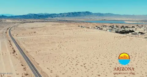
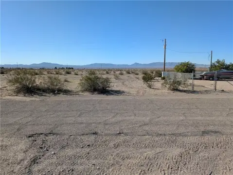
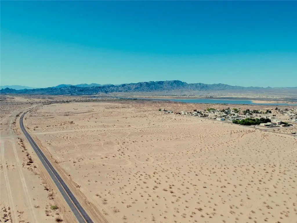
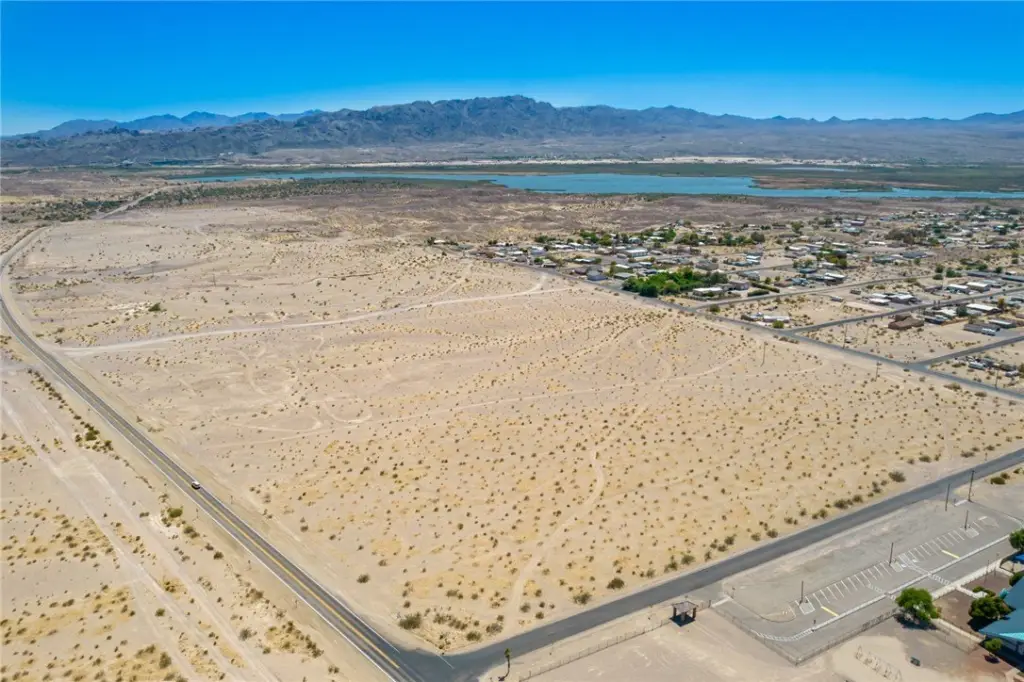
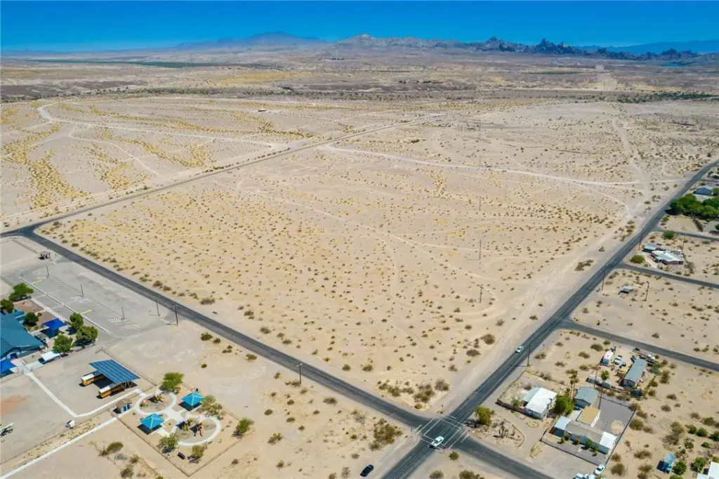
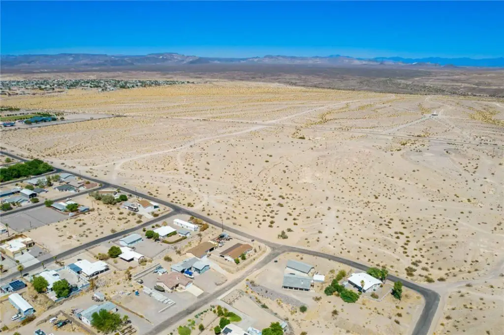
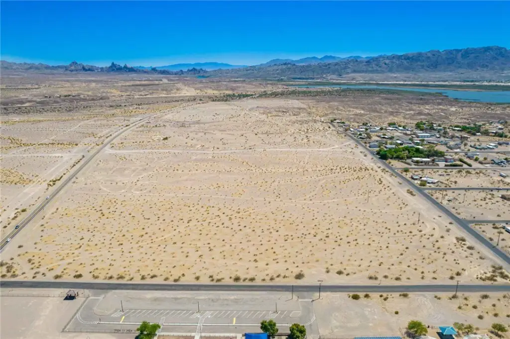
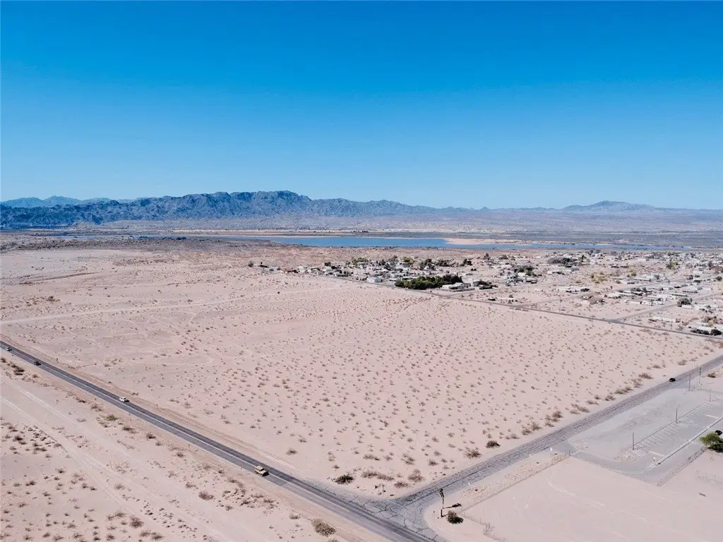
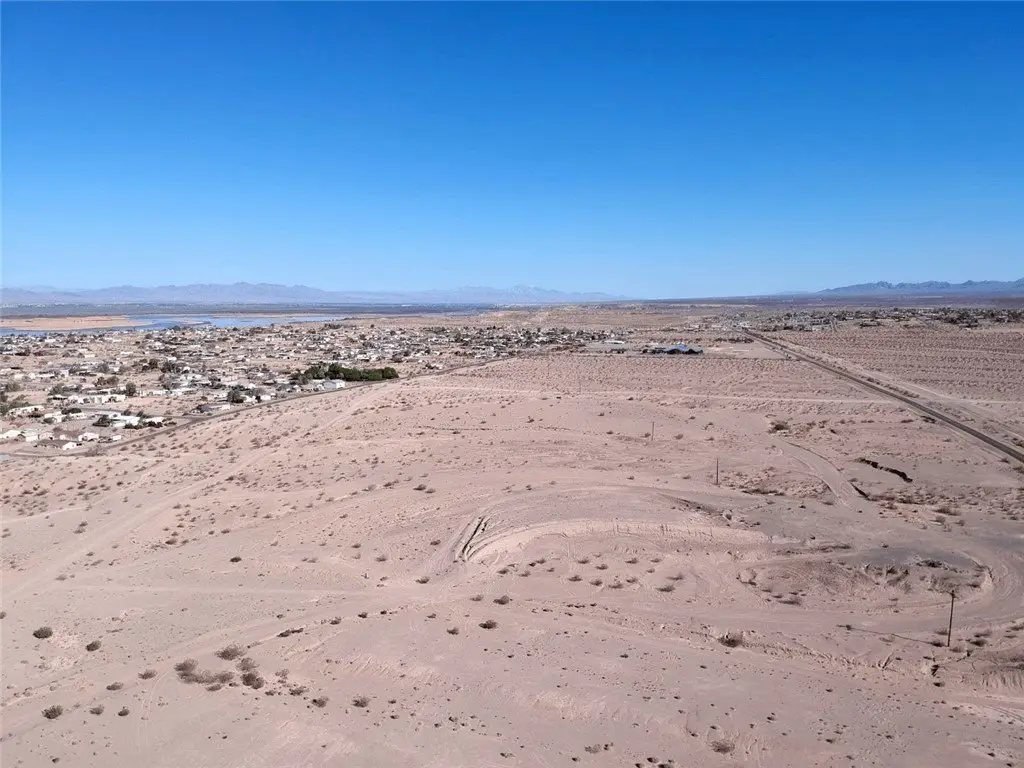
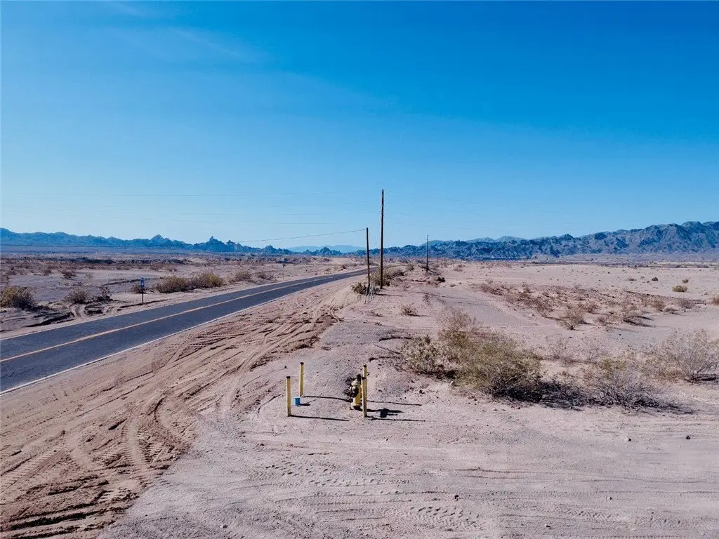
- 83.20‑acre parcel directly along Historic Route 66 in Topock, AZ with nearly 1/2‑mile frontage and paved access on two sides
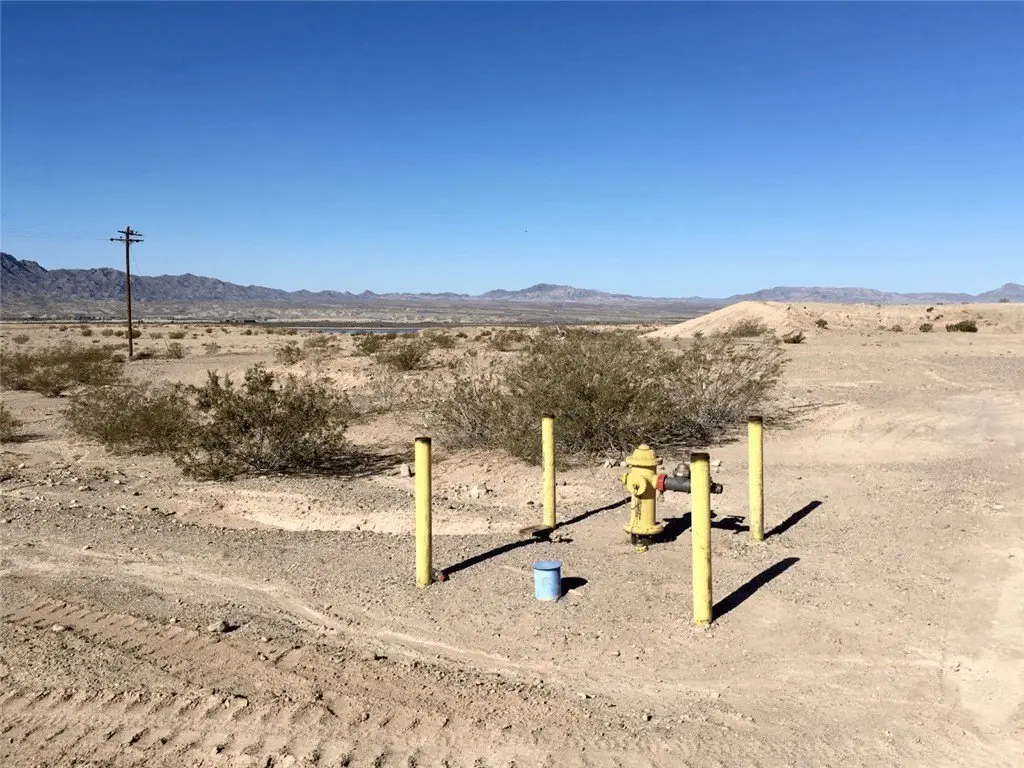
- Utilities are to and through the property: power, high‑speed internet, natural gas, and water service (Golden Shores Water Company will‑serve letter)
- ADWR previously approved a 100‑year Colorado River water supply for the former Topock Village Estates plat
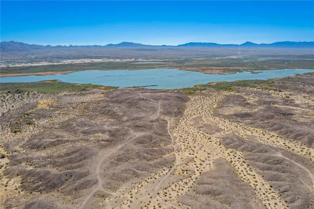
- FEMA Zone X (outside the floodplain); land elevation is approximately 600 with panoramic views of Topock Bay and surrounding mountains
- Zoned A‑R (Agricultural Residential) with Urban Development and Light Industrial designations under the Mohave County General Plan
- Located within a federally designated Qualified Opportunity Zone; nearby communities include Golden Shores and Topock
Overview
Zoned A-R (Agricultural Residential) under the Mohave County General Plan with Urban Development and Light Industrial designations, the site is offered as a flexible development platform. The land is within a federally designated Qualified Opportunity Zone, and the listing notes paved frontage improvements along Route 66.
The combination of Route 66 frontage, two-side paved access, and established utility availability supports a range of development concepts, including mixed-use planning and combinations of single-family or workforce housing, RV park or campground, commercial storage, retail, or other related uses. The property’s sizing and infrastructure readiness make it suitable for buyers seeking to assemble a large-scale footprint within Mohave County.
Current Use by Public Records
Map
- City
- Topock
- County
- Mohave
- State
- Arizona
- Longitude
- -114.481152
- Latitude
- 34.769548