17206 La Hwy 431, Prairieville, LA 70769


- Added:
- Oct 16, 2025
- Days on Market:
- 263
- Last Refresh:
- Jul 5 at 9:06 am
Property Features for 17206 La Hwy 431
General Information
- Property type
- Land
- Property subtype
- Other
- Standard status
- Active
- Lot size
- 135.50 Acres
Taxes and HOA fees
- Tax Description
- 146.38 AC. M/L SEC. 29, 30 & 32-8-4 & SEC. 25-8-3
Utilities
- Water front features
- River Front, Waterfront
- Water front
- 1

Listing agent Jonathan Minerick License #5014919 (888) 400-2513
Listing office Homecoin.com 600 B St Ste 300, San Diego, LA (888) 400-2513
Listing date Oct 16, 2025
Copyright © 2026 Greater Baton Rouge Association of REALTORS. All rights reserved. All information provided by the listing agent/broker is deemed reliable but is not guaranteed and should be independently verified.
HighLights
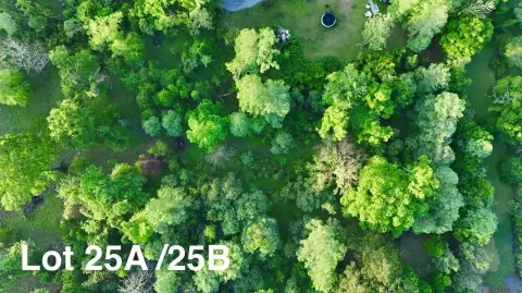
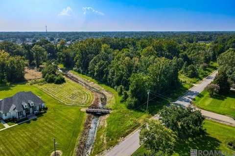
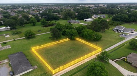
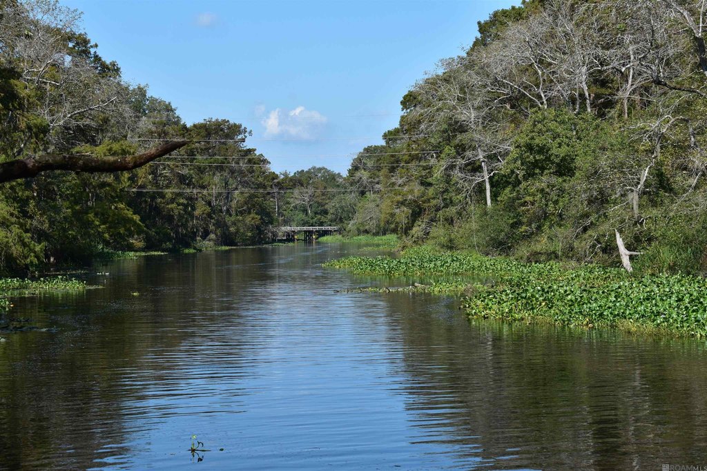
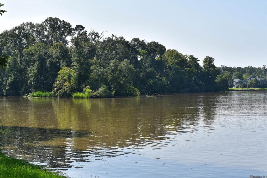
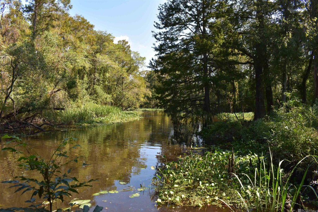
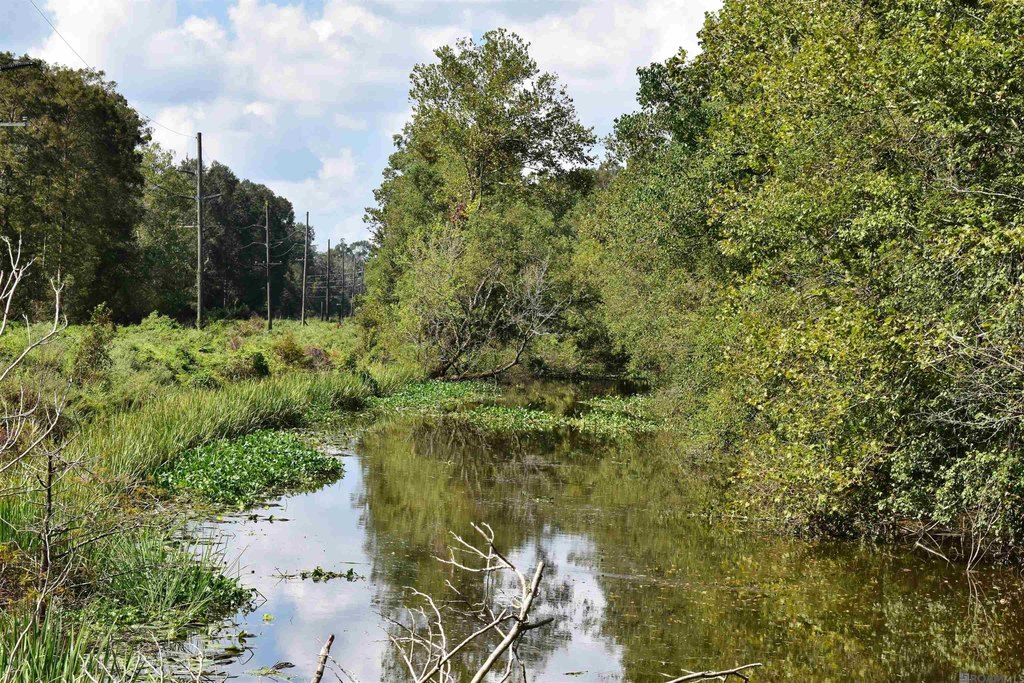
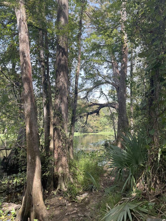
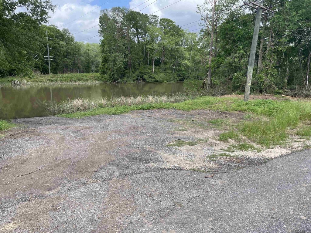
- 135 acres of undeveloped riverfront land in Ascension Parish with 4,000+ ft of undeveloped shoreline.
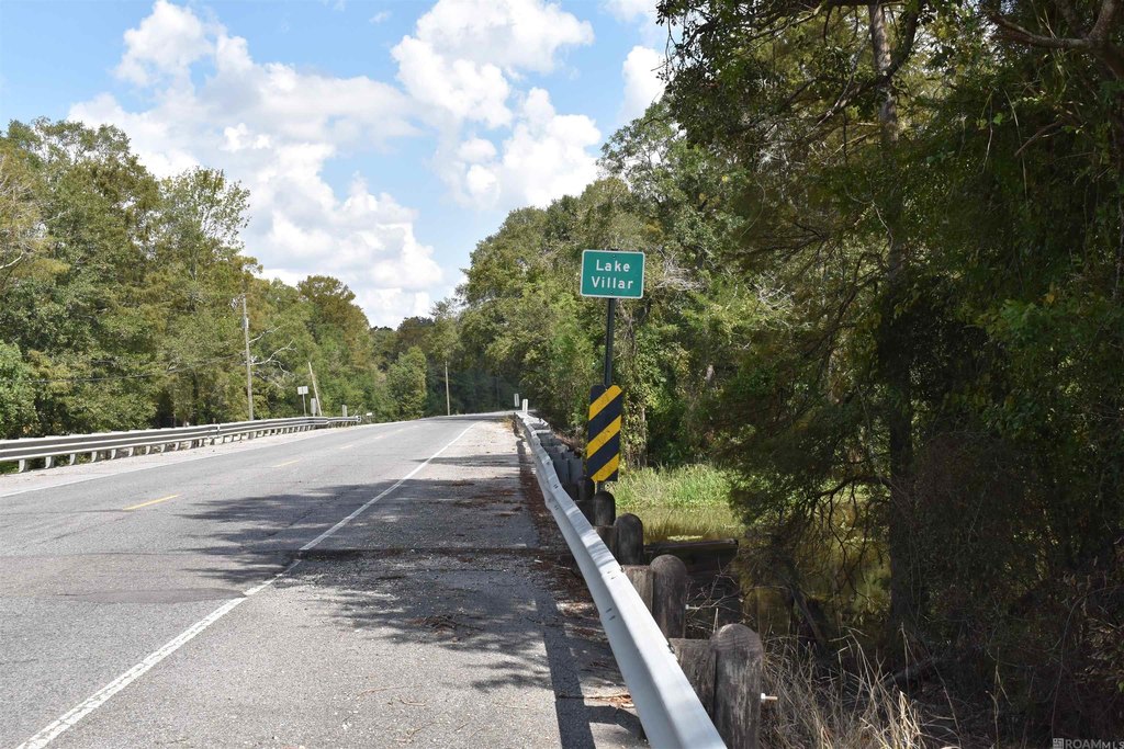
- Includes acreage on both sides of Lake Villar and Henderson Bayou with waterway access to the Amite River.
- Private 10+ acre island in the Amite River less than a mile from the Port Vincent bridge, with secluded shoreline and 17 ft elevation.
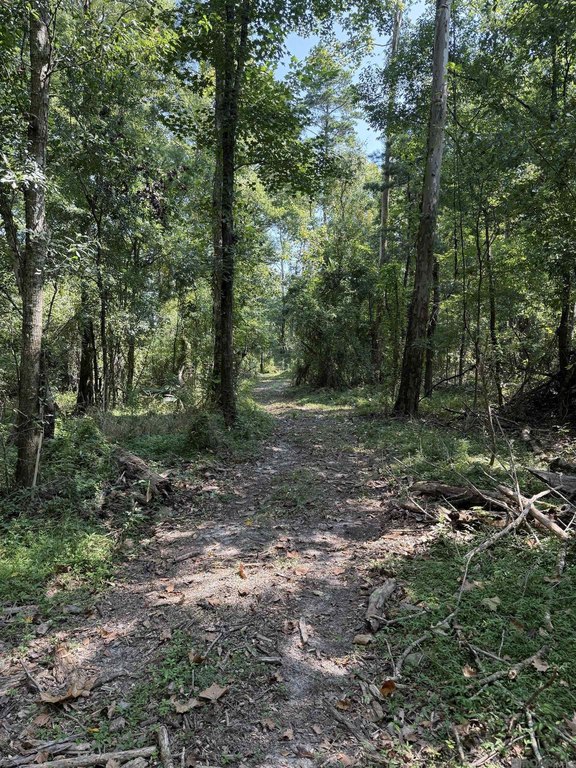
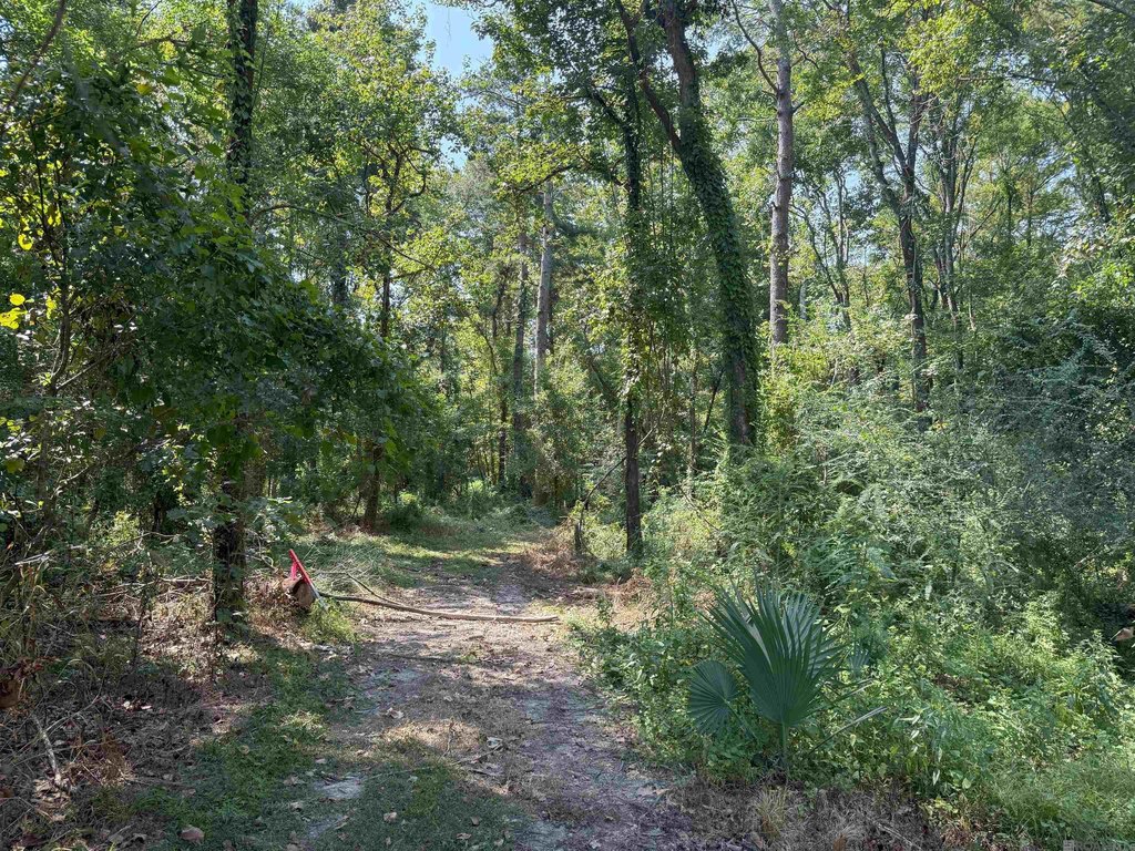
- Private boat launch plus paved road access; shoreline acreage along the southern edge of Lake Villar and Bayou Henderson.
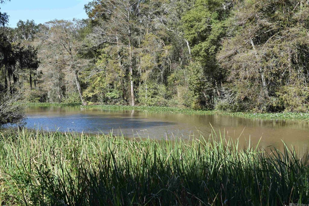
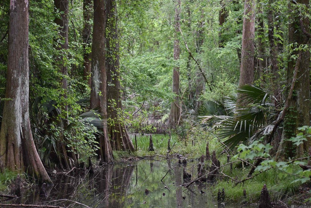
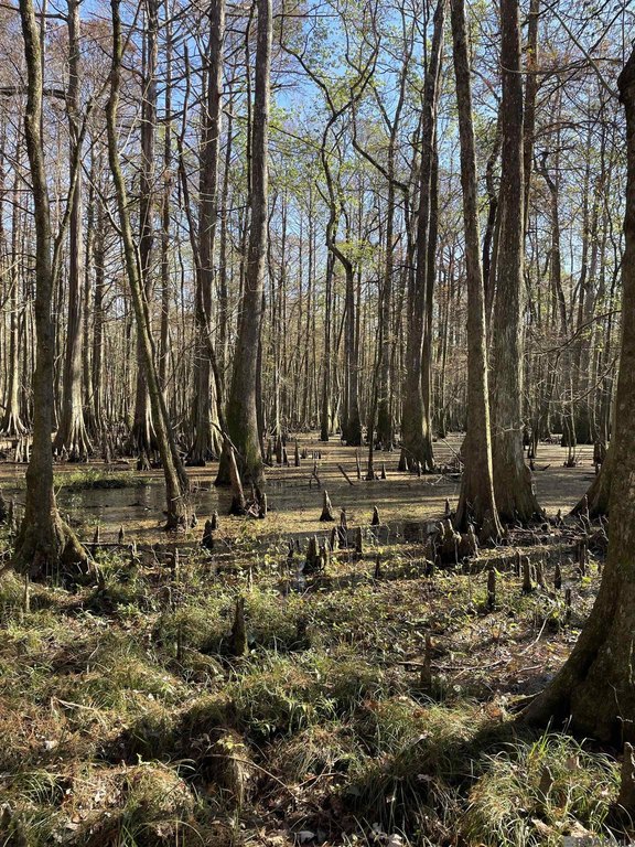
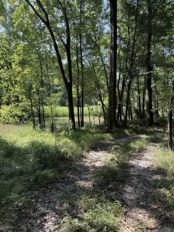
- Half‑acre duck pond in a cypress grove near a private drive; trail access to elevated bank on the northern shore.
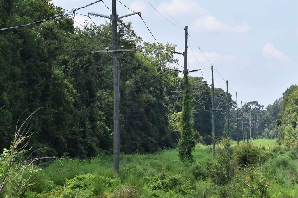
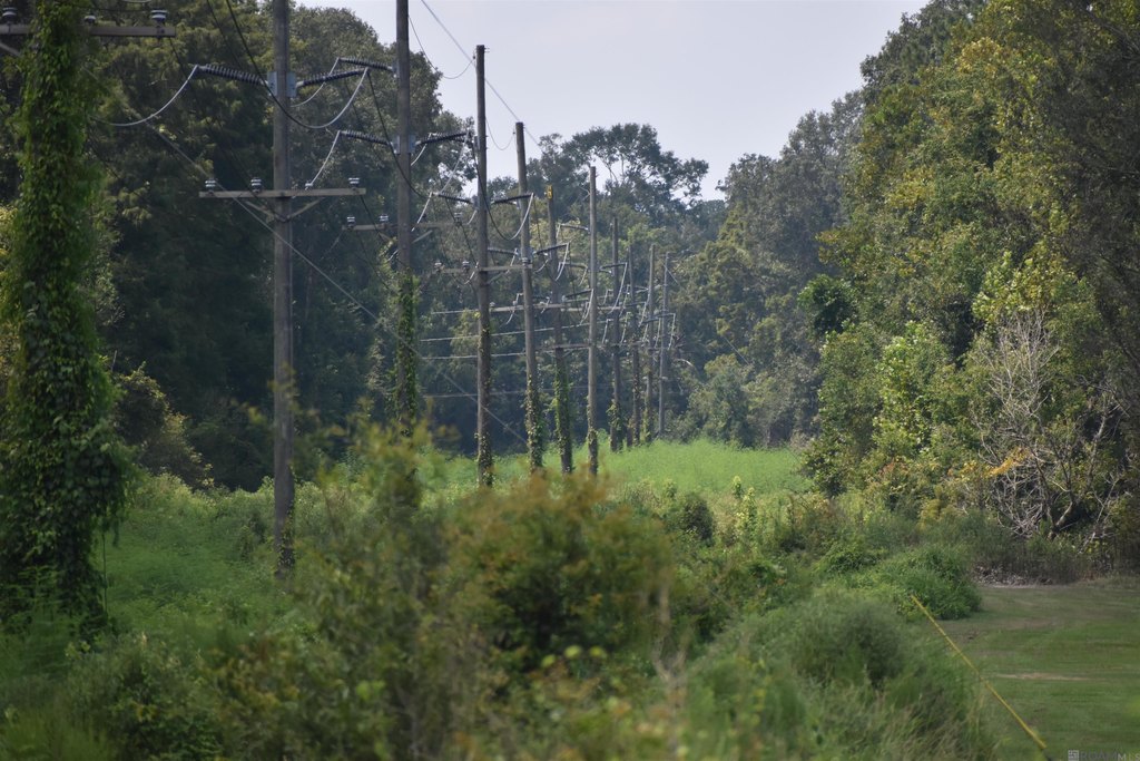
- Cleared, managed powerline servitude 100' x 3,300' and public utility access for shore property; Zoned Class II Timber/Marsh/Ag and Conservation/Res.
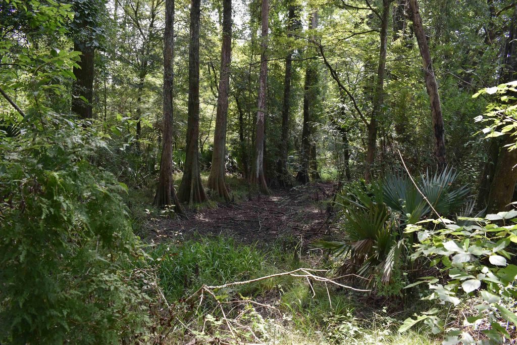
Overview
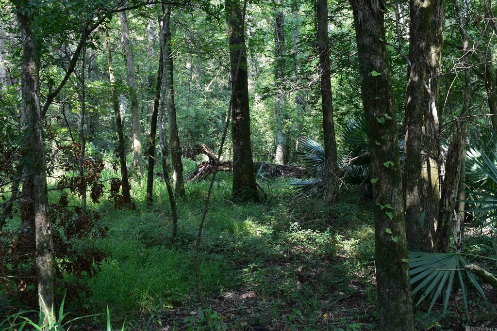
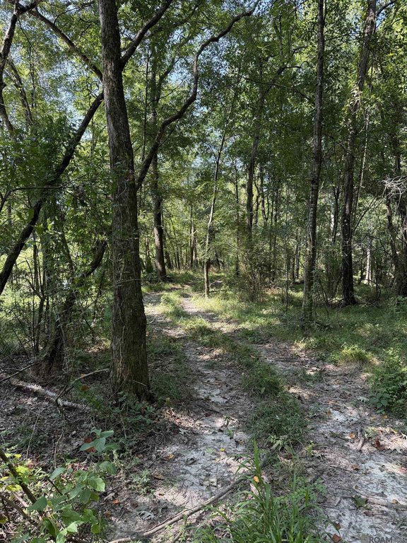
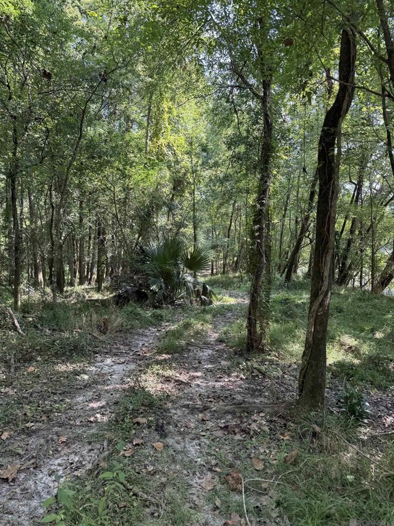
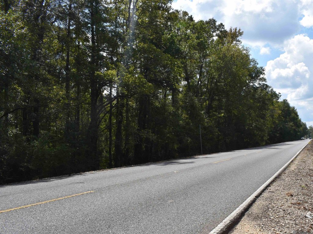
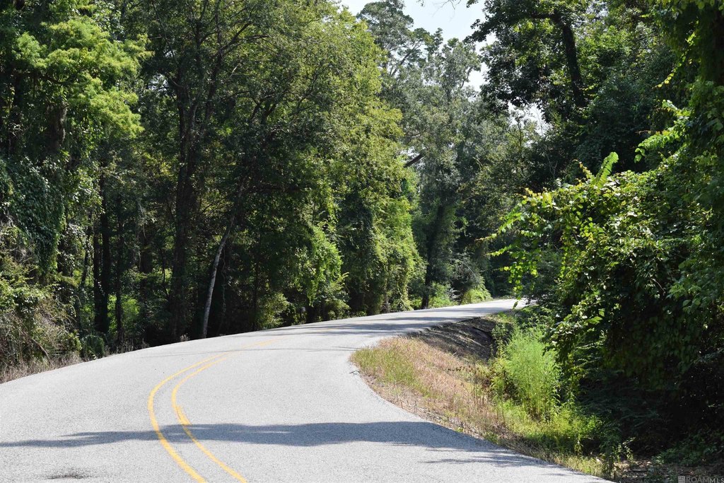
Access is supported by a paved road that provides entry to the launch and access to bottomland hardwood tracts on the eastern boundary. Trail access extends from a private drive to an elevated bank on the northern shore. The property also includes a cleared and managed powerline servitude measuring 100' x 3,300', and public utility access for shore property.
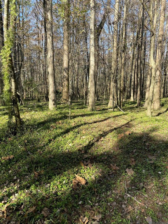
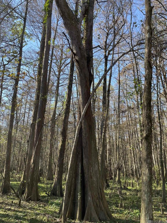
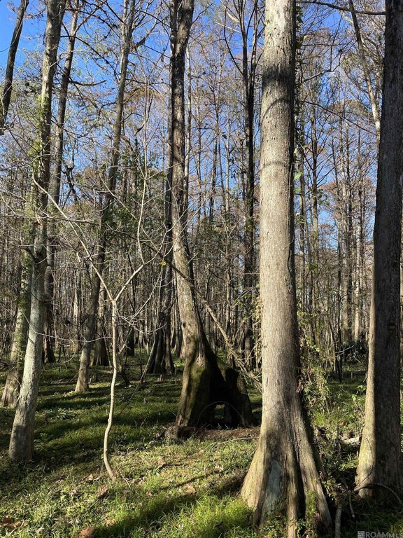
Zoned Class II Timber/Marsh/Ag and Conservation/Res and listed as non-subdivided, this land sits in Flood Zone AE. Designed for habitat-focused recreation, the property is described as productive for deer, duck, black bear, alligator, smaller game, and assorted fish.
Current Use by Public Records
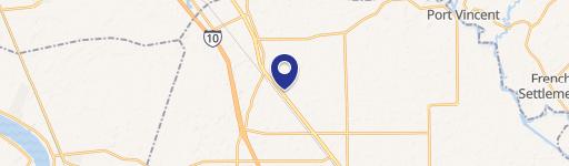
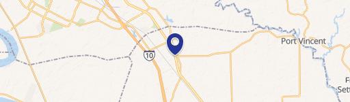
Map
- City
- Prairieville
- County
- Ascension
- State
- Louisiana
- Longitude
- -90.847985
- Latitude
- 30.322031