17 N7337, St Johns, AZ 85936

- Added:
- Jun 25, 2026
- Days on Market:
- 2
- Last Refresh:
- Jun 26 at 9:06 pm
Property Features for 17 N7337
General Information
- Property type
- Land
- Property subtype
- Single Family Residence
- Standard status
- Active
- APN
- 205-84-232C
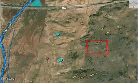
- Lot size
- 9.31 Acres
Taxes and HOA fees
- Tax Description
- SIERRA MOUNTAIN RANCH UNIT II COMM SE COR LOT 232 THN W 655.71' TPOB THN W 655.72' THN N 618.65 THN E 655.72' THN S 618.65' TPOB
- Tax Annual Amount
- 25
Listing agent Susan L Spillers License #BR543775000 (855) 465-4945
Listing office List With Freedom, Inc 5724 SW 77th Ave, Boynton Beach, AZ (855) 465-4945
Listing date Jun 25, 2026
Copyright © 2026 White Mountain Association of Realtors. All rights reserved. All information provided by the listing agent/broker is deemed reliable but is not guaranteed and should be independently verified.
HighLights
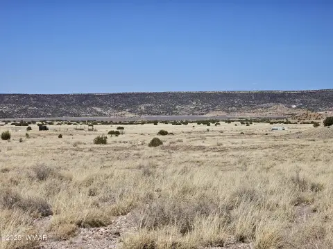
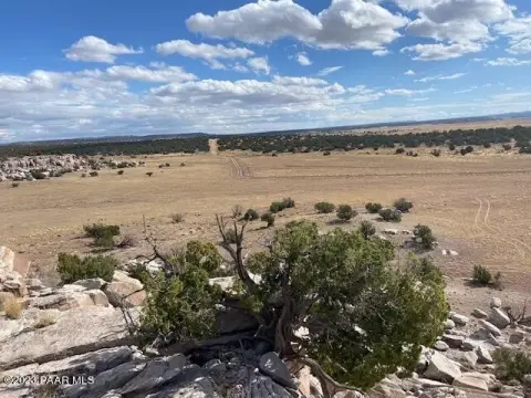
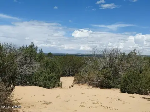
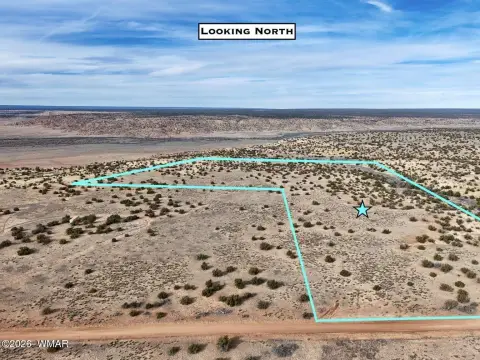
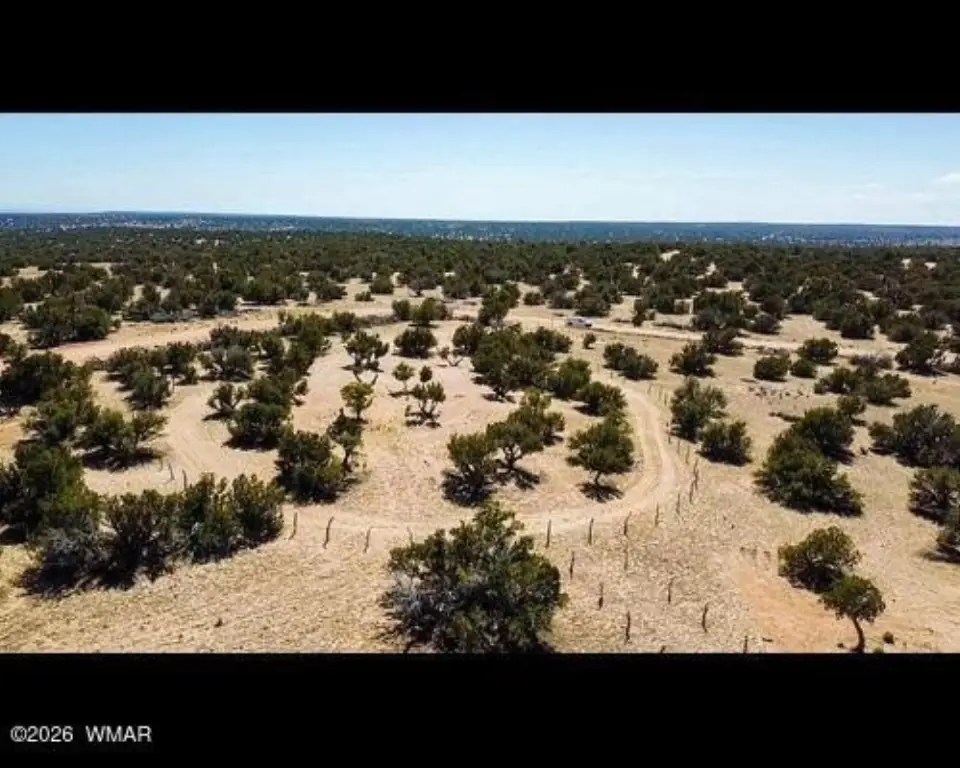
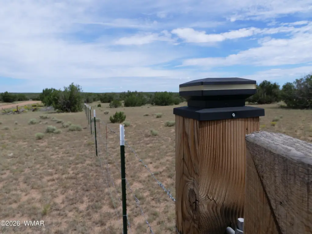
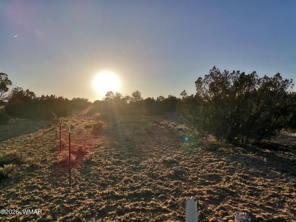
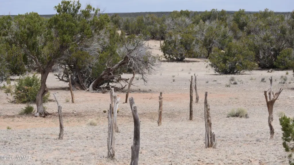
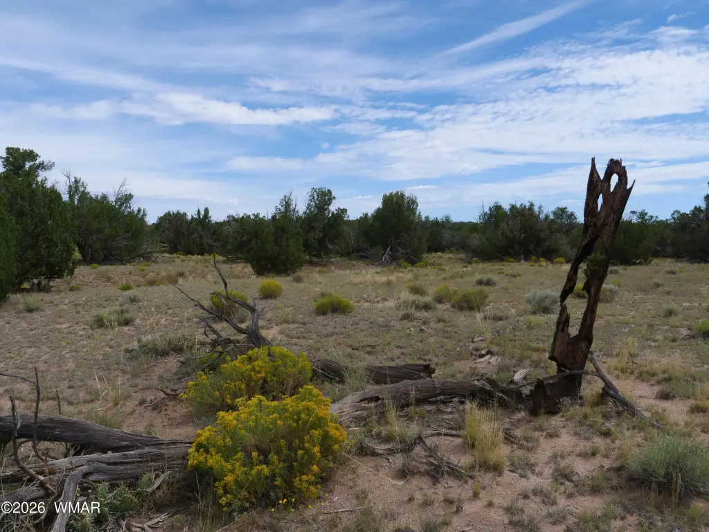
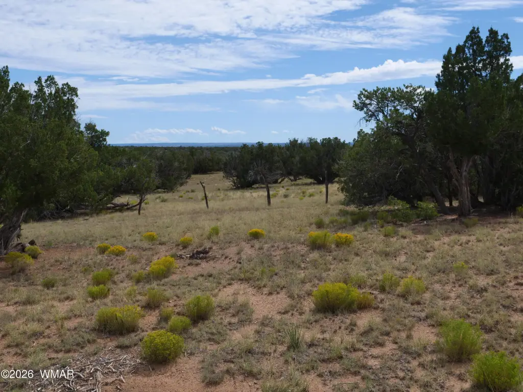
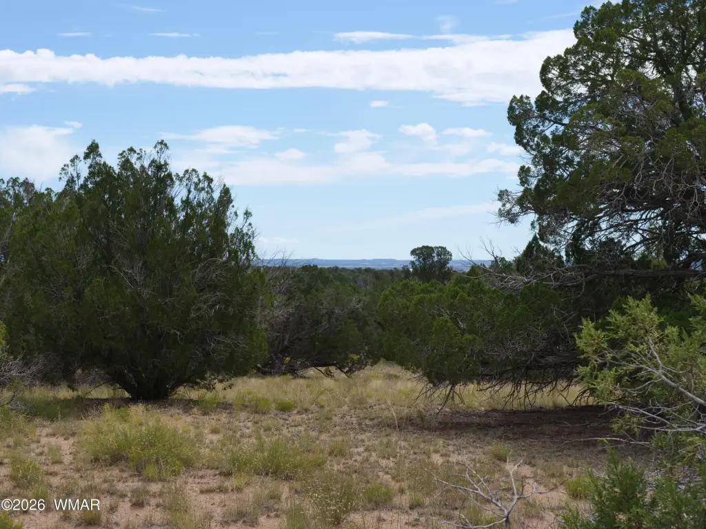
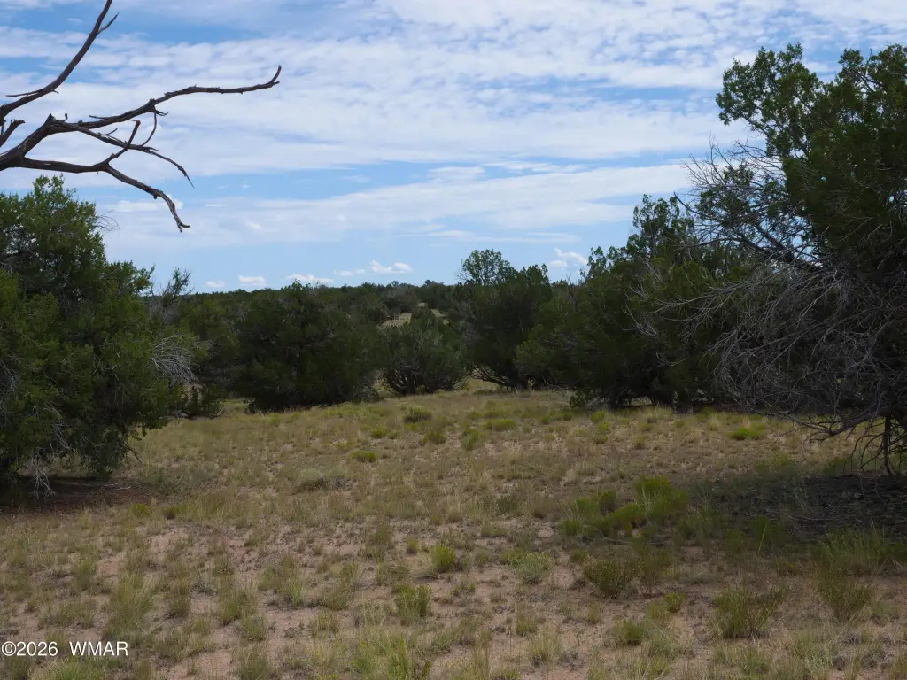
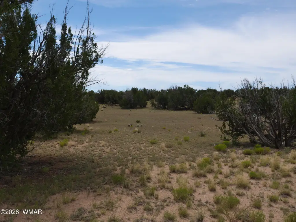
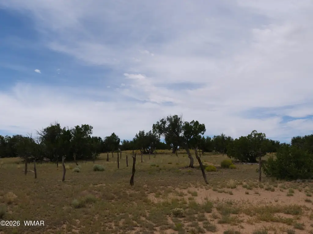
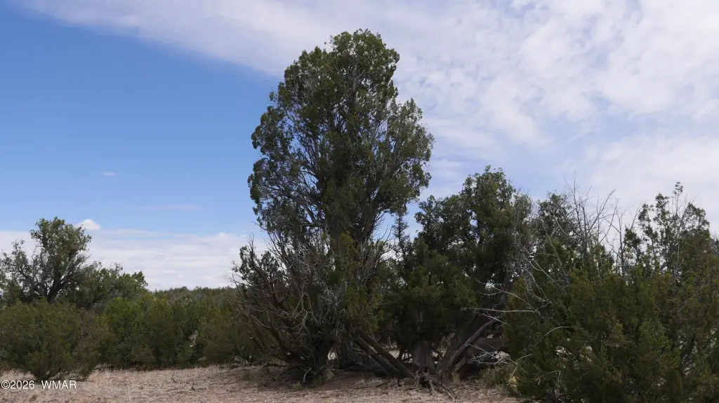
- 9.3‑acre off‑grid parcel on Sierra Mountain Ranch in Saint Johns, Apache County, AZ
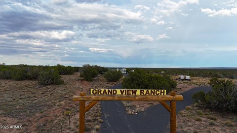
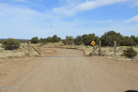
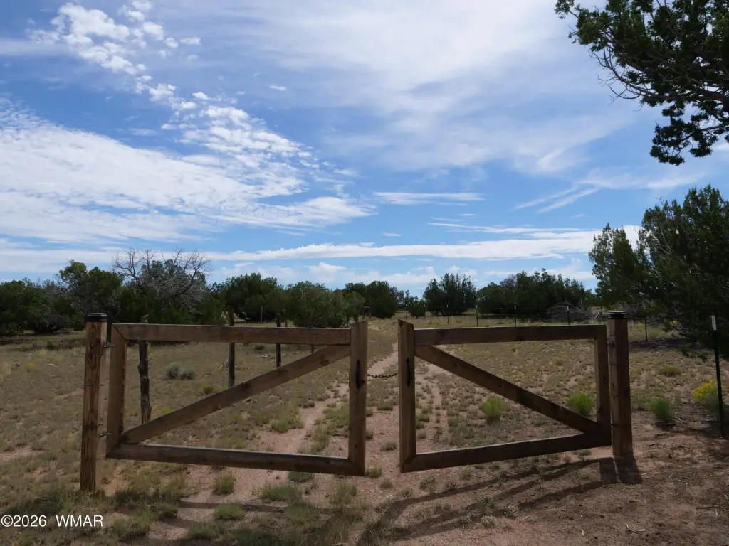
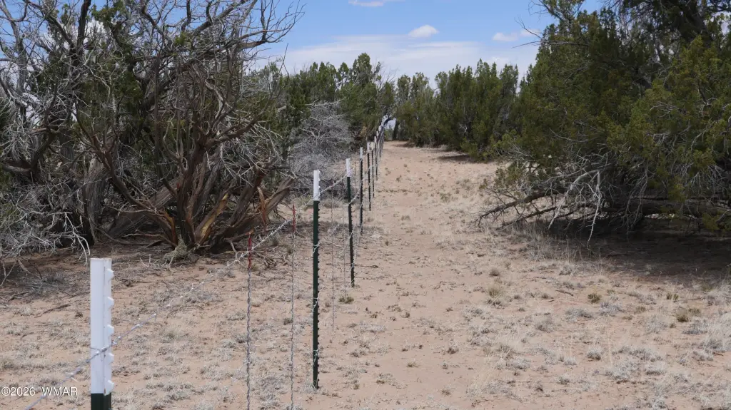
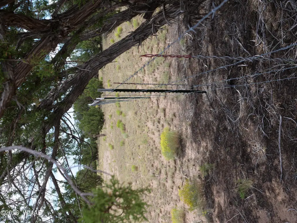
- Lot 232C has road access on the south and west sides, plus fencing and a wooden ranch gate
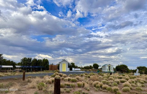
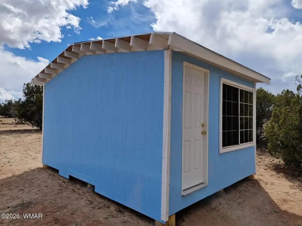
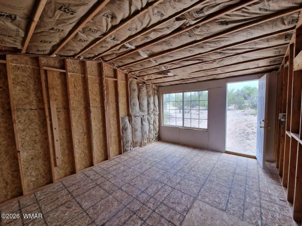
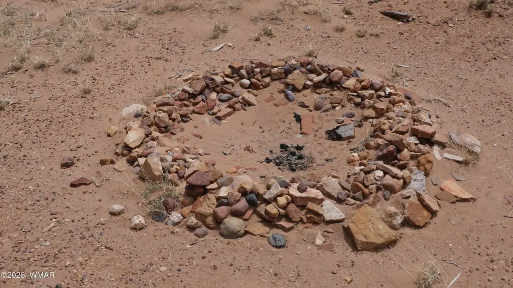
- Prepared space for a house or RV, with a raw utility building on site
- Option to dig a well at a determined spot measured by a seismic test; well access could be shared with other parts of Lot 232
- Septic permit needs renewal with the County
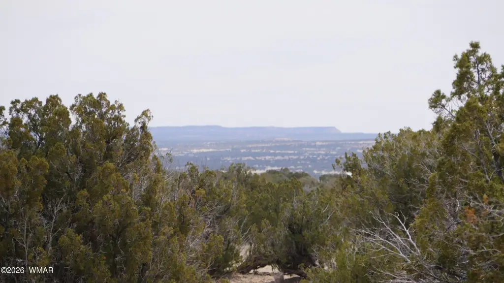
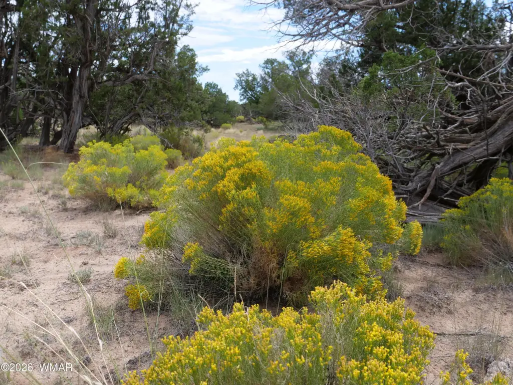
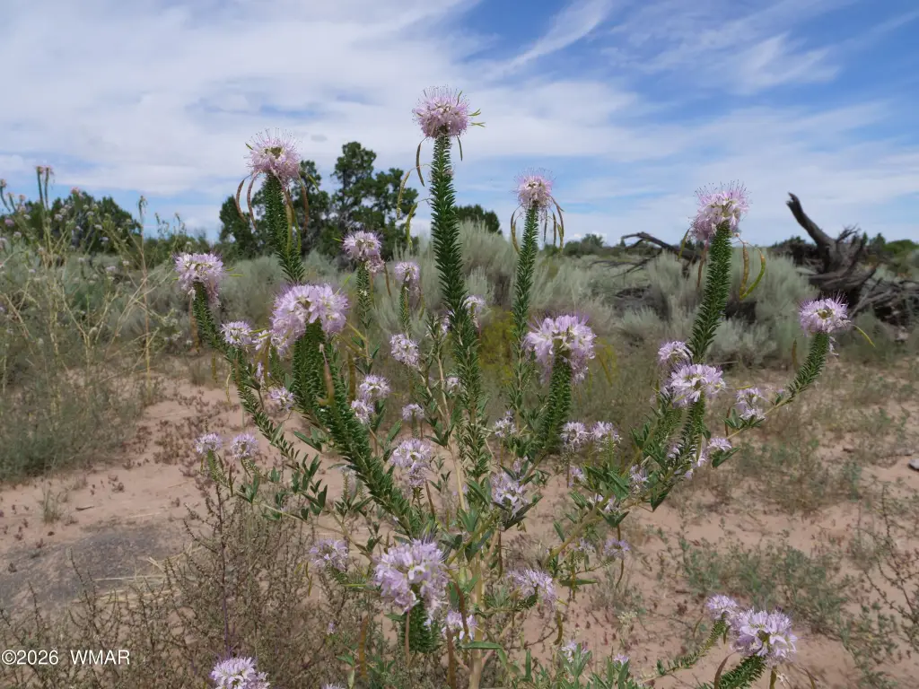
- High‑desert terrain at approx. 6,250 ft elevation with juniper and pinyon trees, mountain views, wildlife, and Starlink internet option
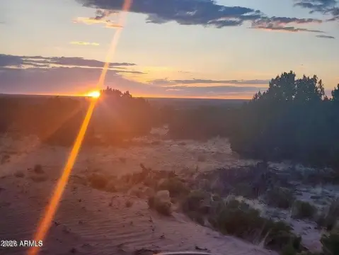
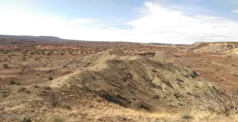
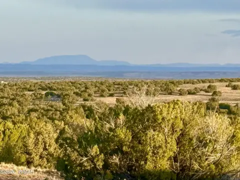
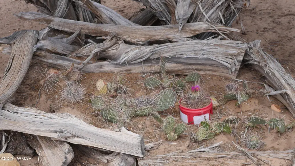
Overview
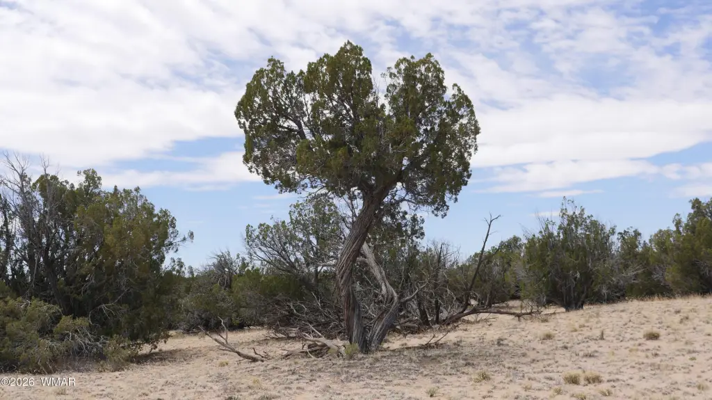
The land is set at approximately 6,250 feet elevation and is heavily treed with juniper and pinyon, with mountain views. The lot has road access on the south and west side, providing direct means to reach the parcel. In addition, the property notes good cell phone signal and an option for Starlink internet.
For buyers seeking private, rural acreage for an RV stay, homestead planning, a retreat, or livestock use, the current improvements support on-site setup. The prepared build location and on-property utility structure can help streamline early planning, while the outlined well and shared water access framework informs longer-term development considerations.
Current Use by Public Records
Map
- City
- St Johns
- County
- Apache
- State
- Arizona
- Longitude
- -109.11478
- Latitude
- 34.86851