Conservation-Easement Home Site


For Sale
$570,000
TRACT 17 FISHERMAN CREEK Road, Bondurant, WY 82922
Land, Bondurant, WY
Property SizeContact for details
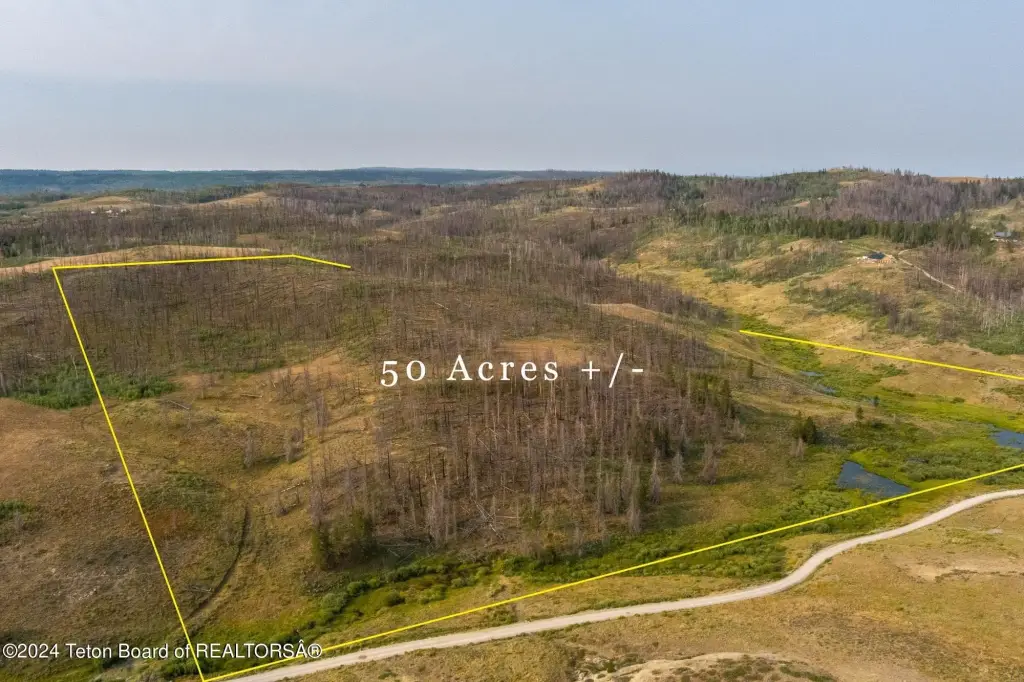
Lot Size49.38 Acres
Days on Market98
Property Features for TRACT 17 FISHERMAN CREEK Road
General Information
Property type
Land
Property subtype
Other
Zoning description
Single Family
Subdivision
Hoback Ranches
Lot features
Wooded, Conservation Easement
Standard status
Active
APN
36130230100100
Lot size
49.38 Acres
Taxes and HOA fees
Tax Year
2024
Tax Annual Amount
566
Utilities
Sewer type
Septic Needed
Water source
Well
Water front features
Pond
Water front
1
Listing Agency:
Pinedale Properties, Inc.
(307) 367-6683
Listed By:
Camden Bennett · License #RE-14805
(801) 910-6528
Added: Jul 6
Changed: Sep 13
Last Checked: Oct 11 at 1:06AM
MLS# 26-1771
Copyright © 2026 Teton Board of REALTORS®. All rights reserved. All information provided by the listing agent/broker is deemed reliable but is not guaranteed and should be independently verified.
Investment Insights
Based on property information with market context.
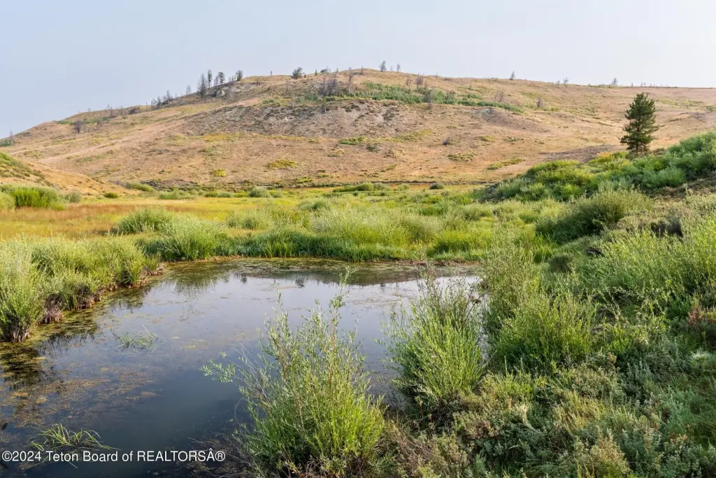
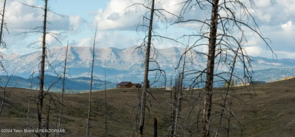
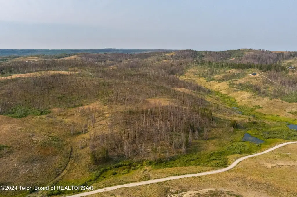
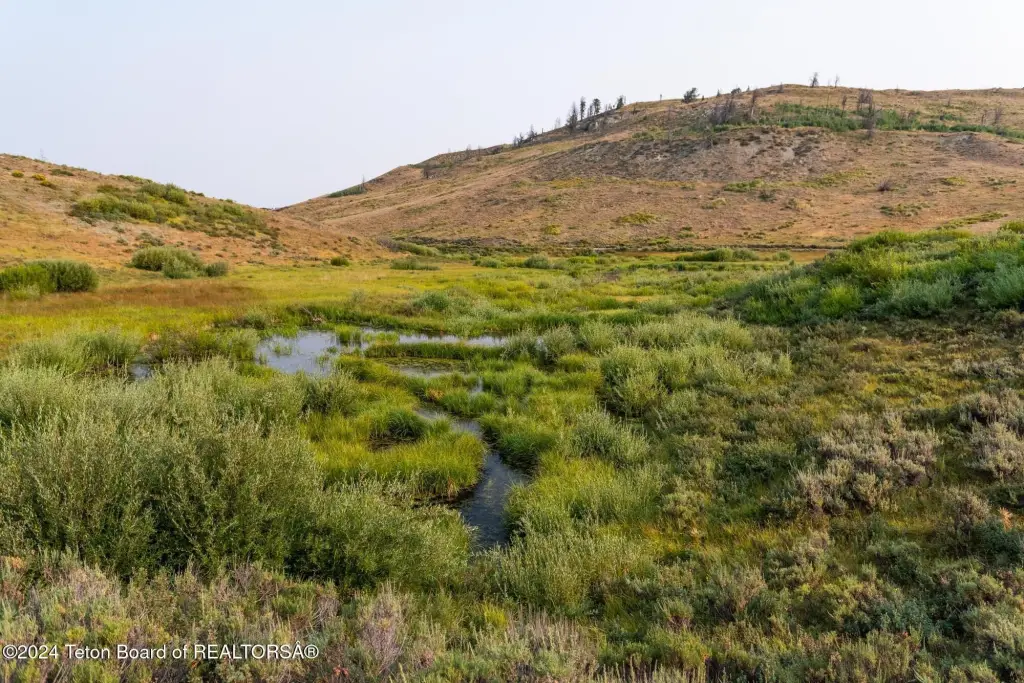
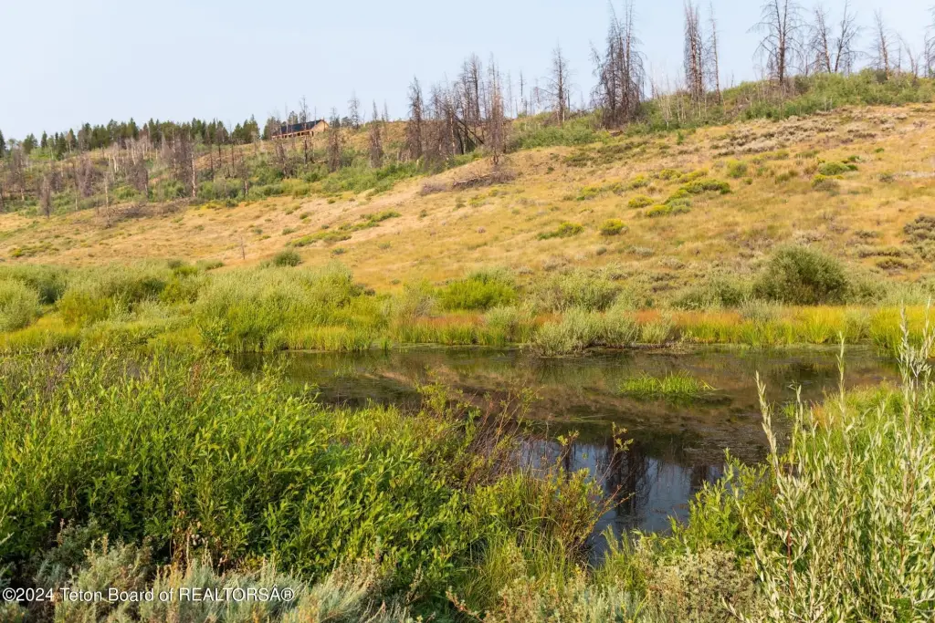
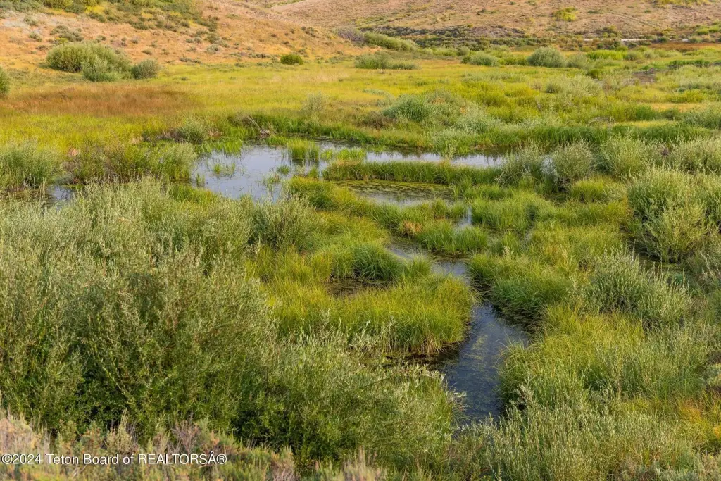
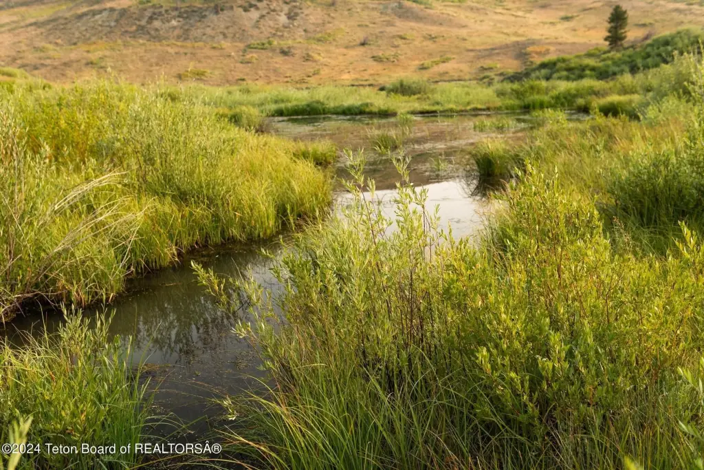
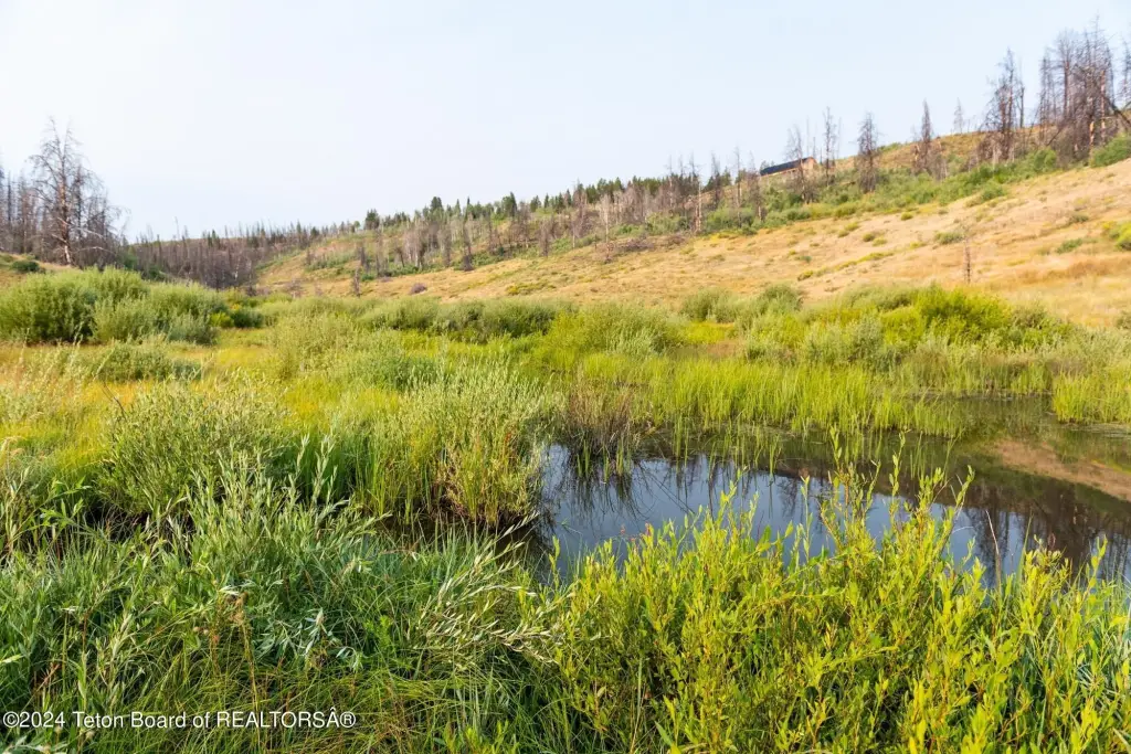
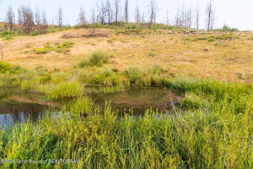
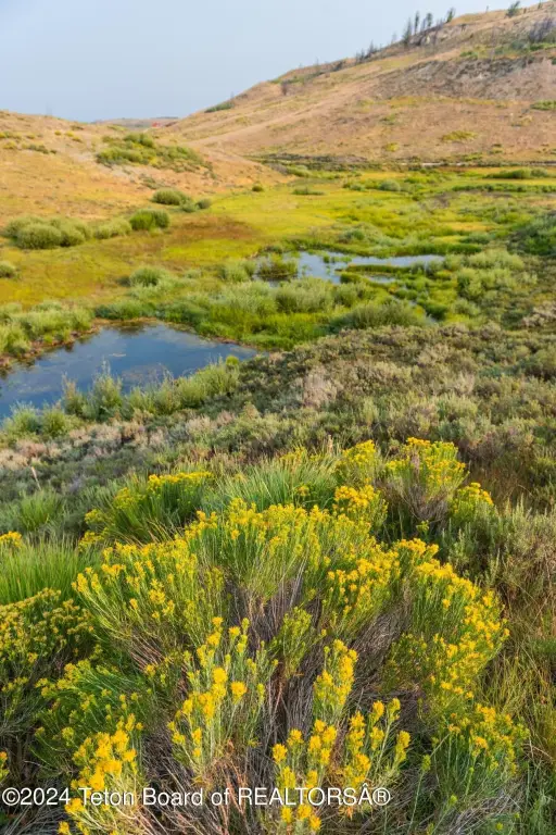
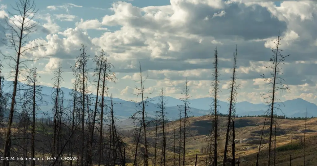
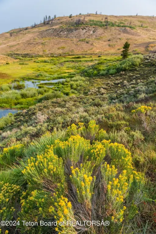
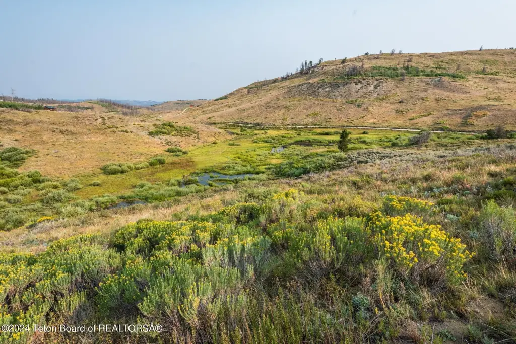
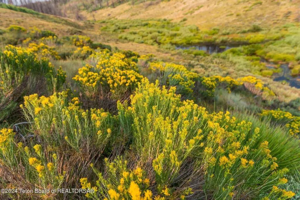
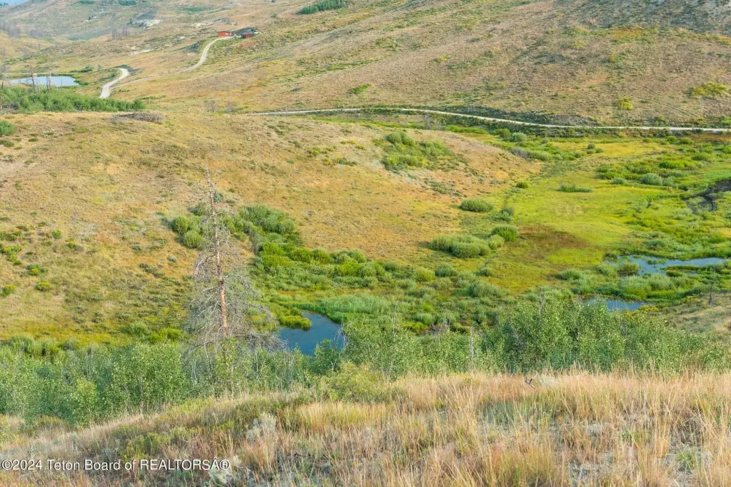
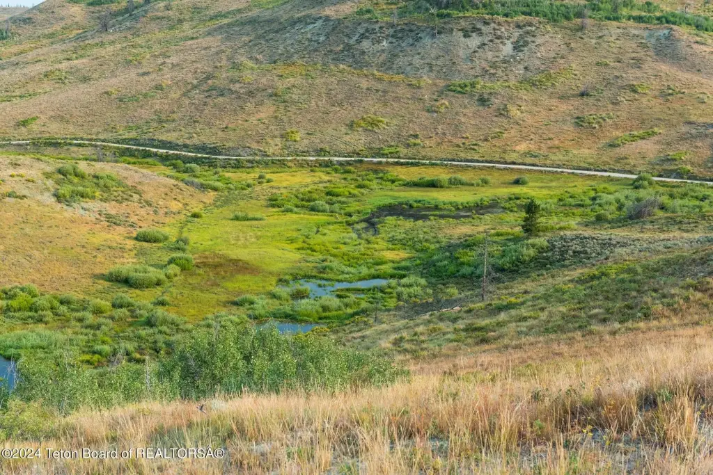
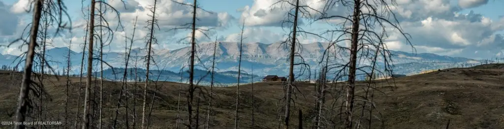
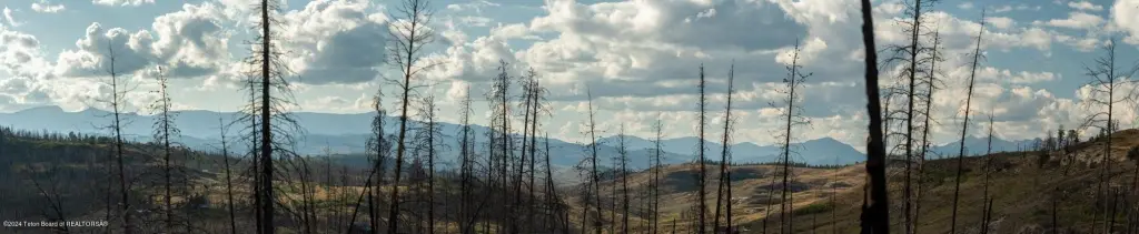
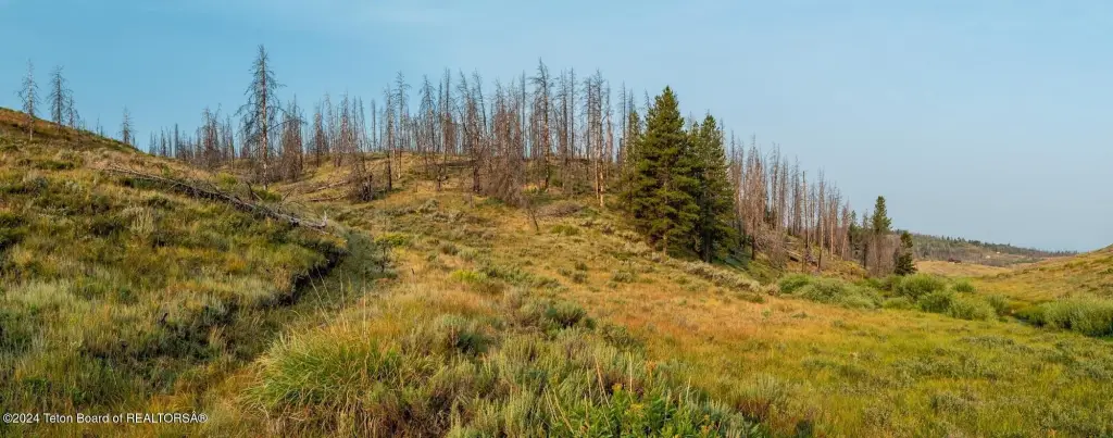
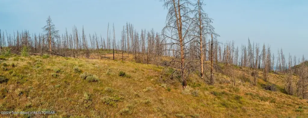
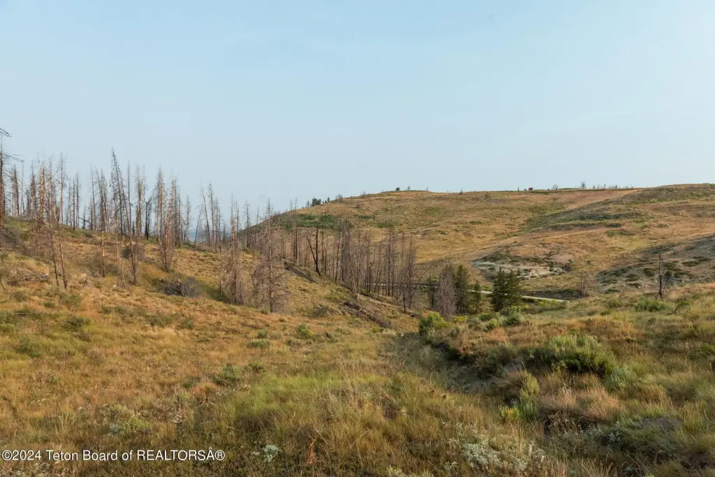
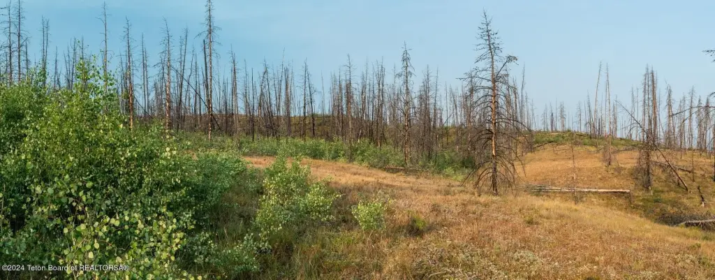
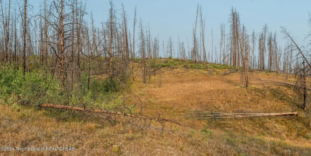
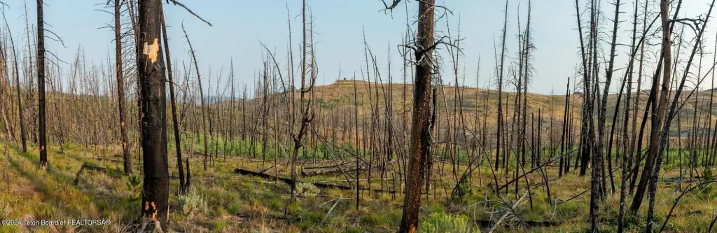
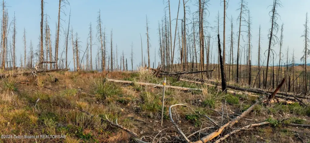
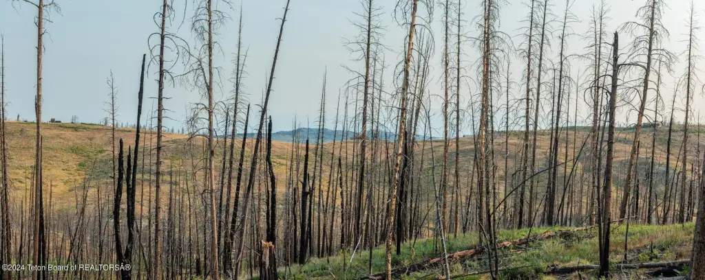
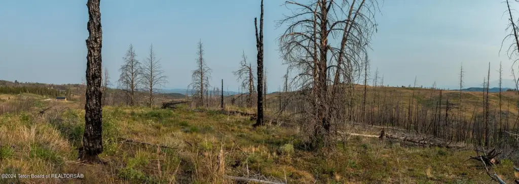
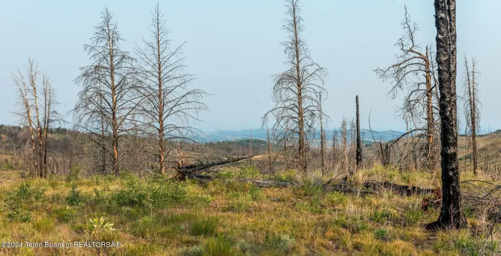
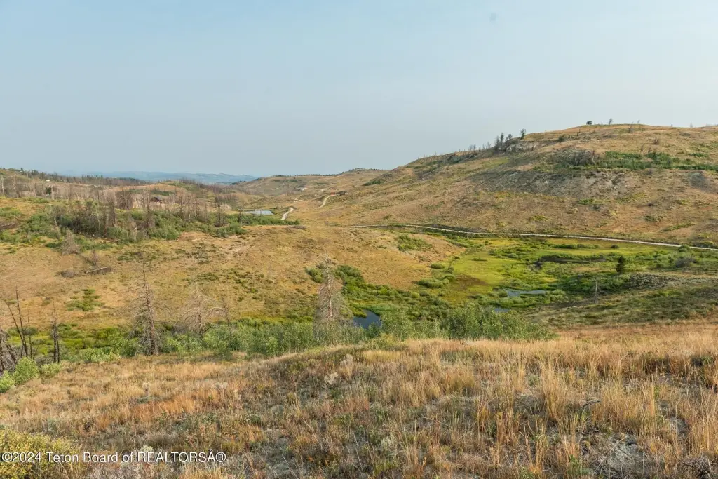
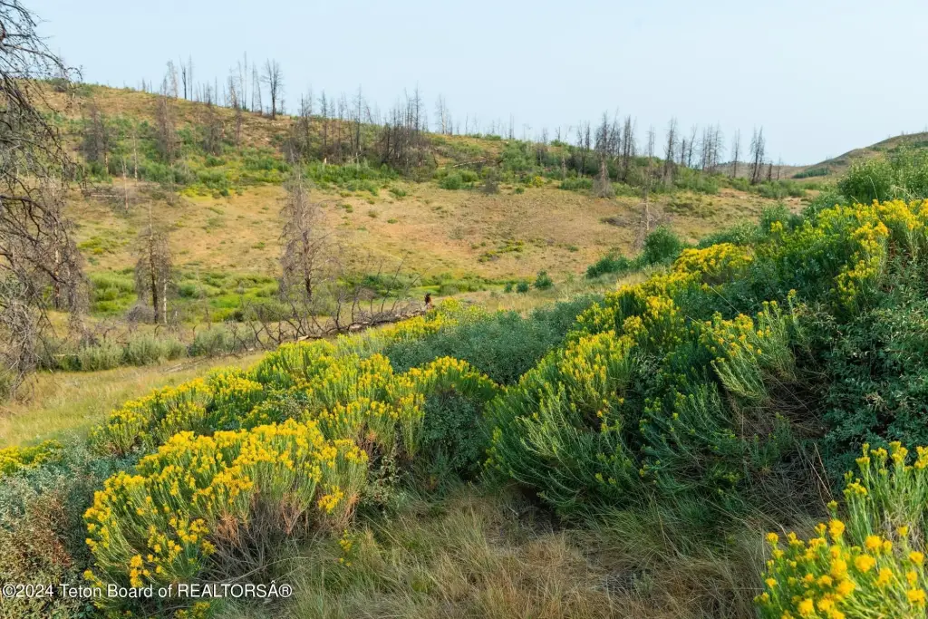
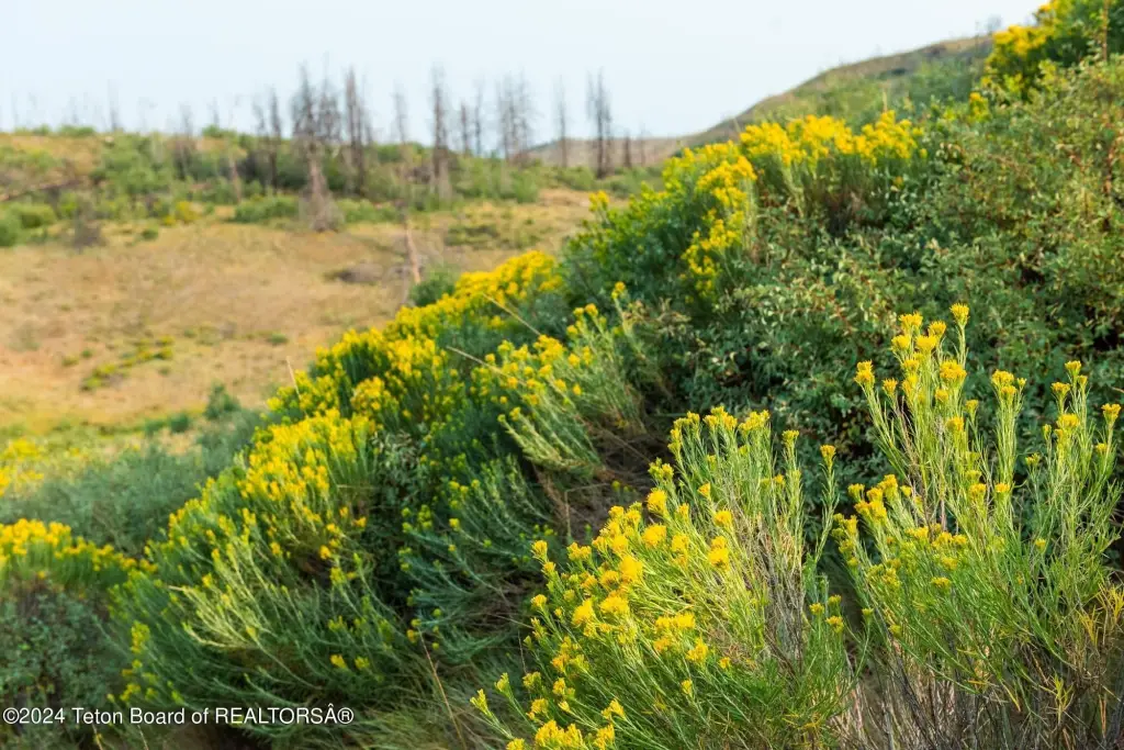
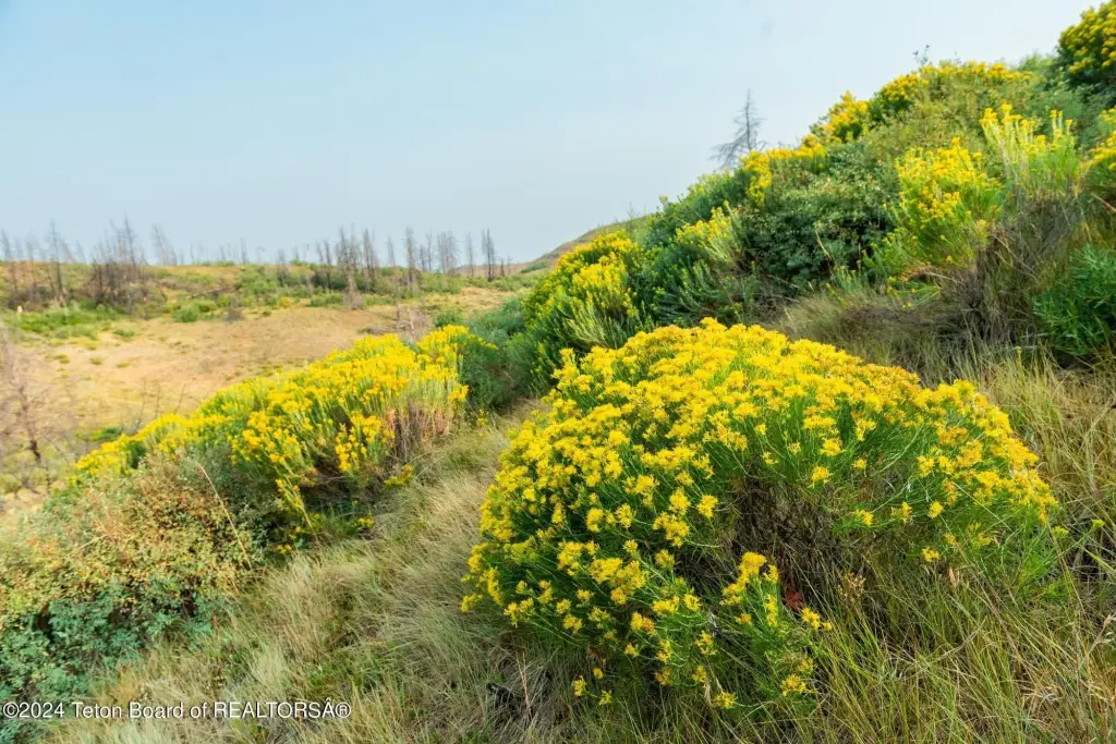
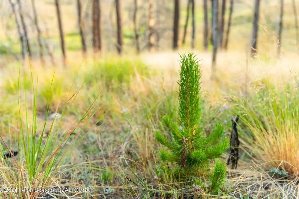
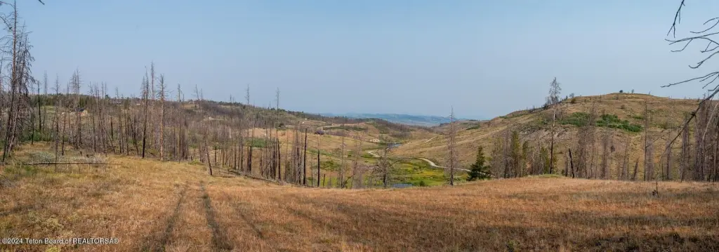
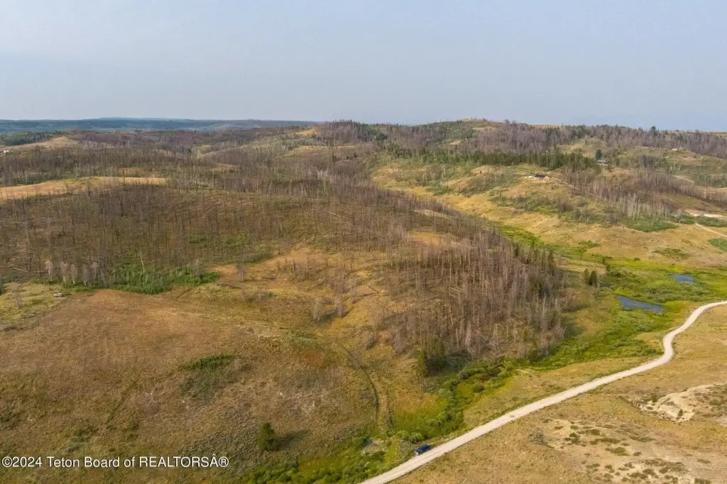
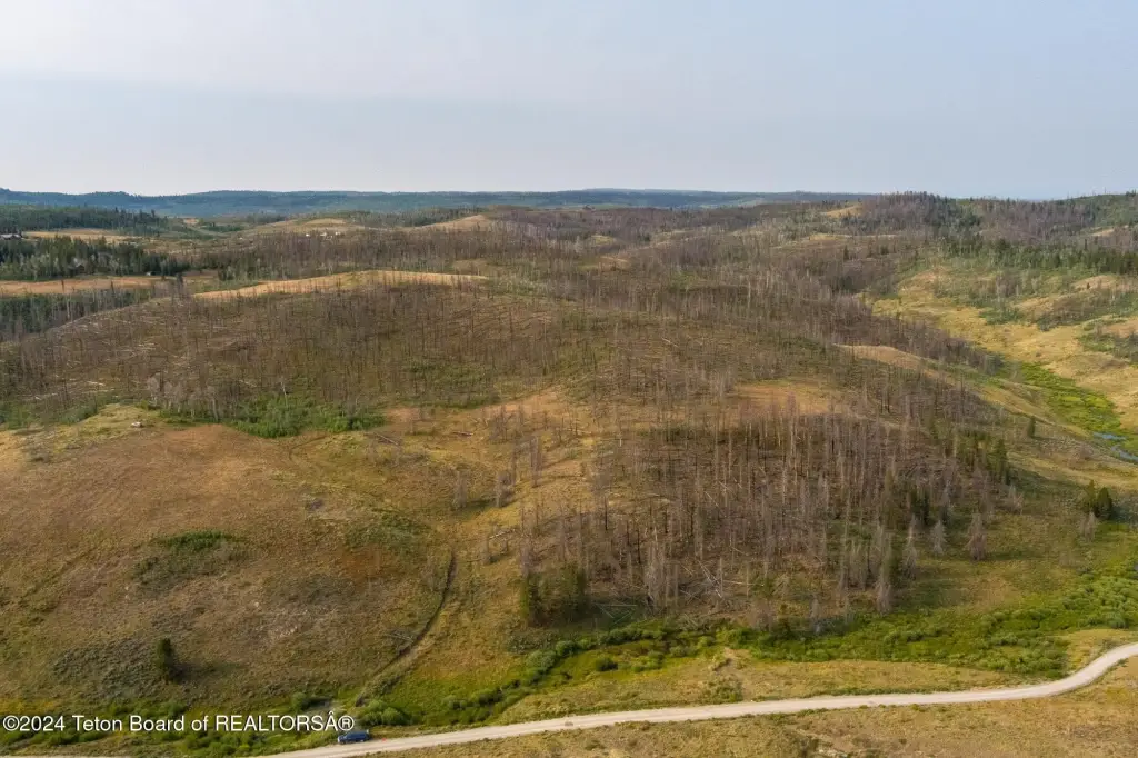
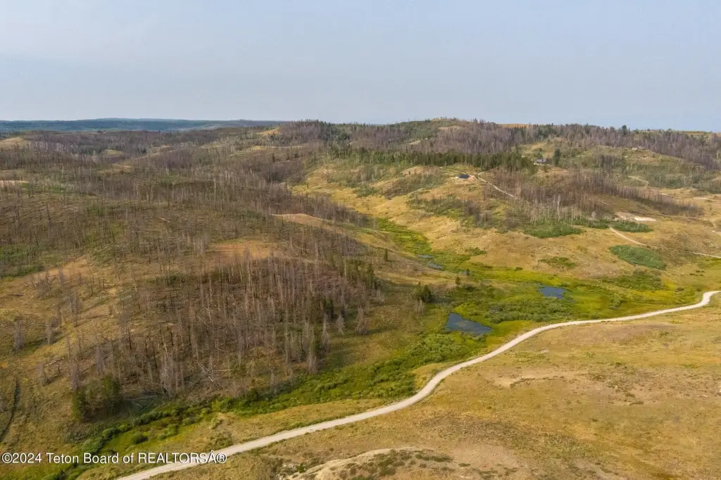
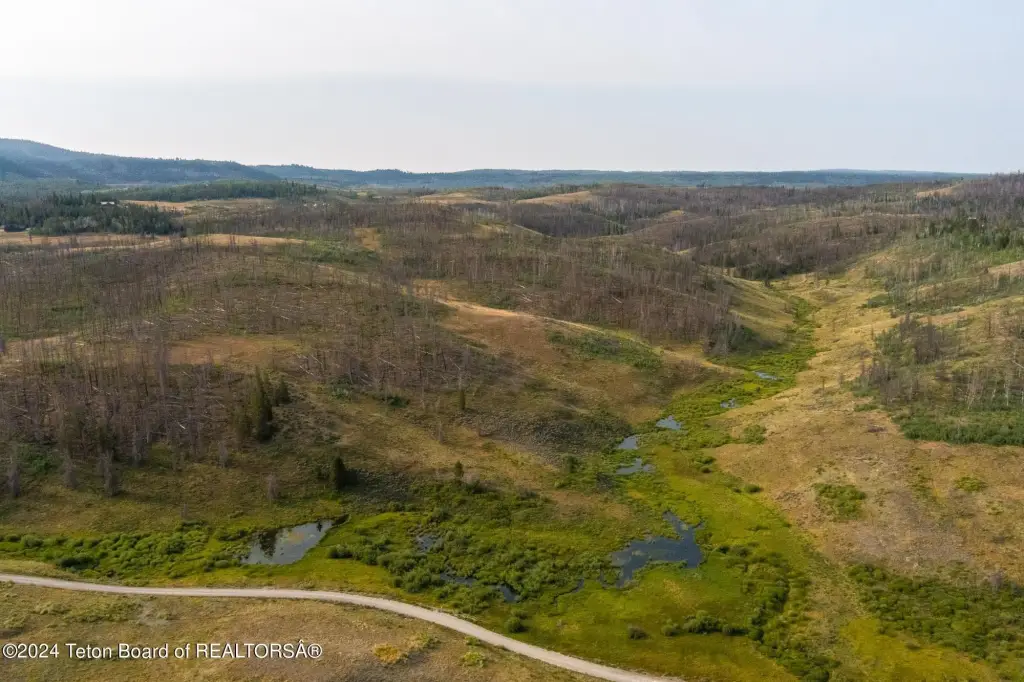
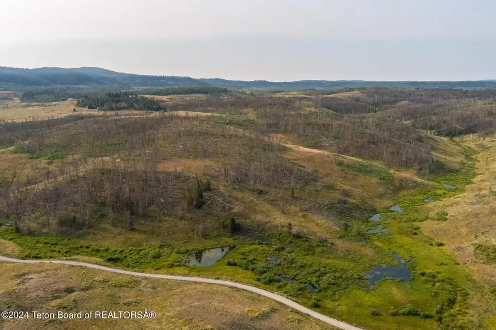
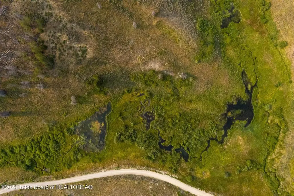
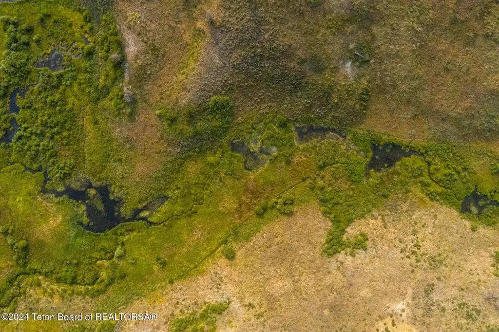
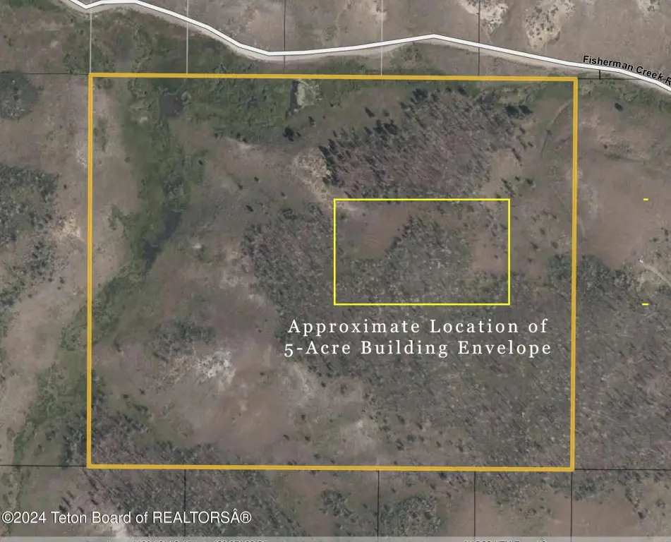
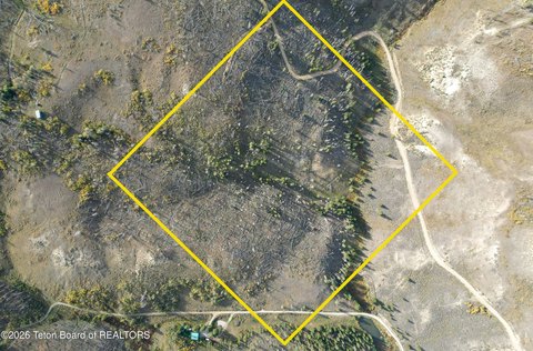
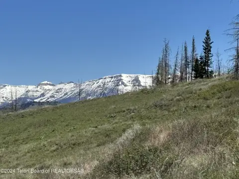
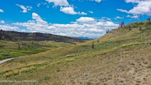
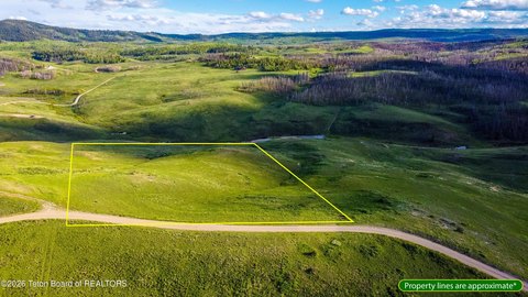
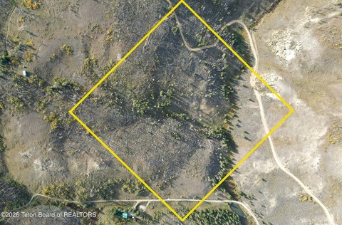
This 49.38-acre parcel in Hoback Ranches offers live water at the lower elevations and wide views of the Gros Ventre and Wyoming Range from the higher points. Vegetation includes seedling pines and aspen, reflecting ongoing regrowth since the 2018 Roosevelt Fire. The property is subject to a conservation easement that allows development of a five-acre home site as outlined in the accompanying graphic.
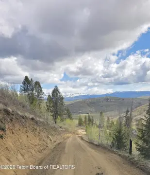
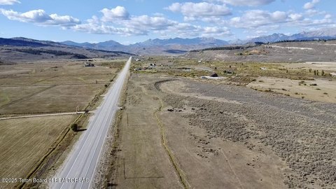
The tract is accessed via Fisherman Creek Road, which has been kept open in recent winters, creating the opportunity for winter access. The lot’s terrain supports both water features at lower elevations and vantage points from higher ground.
For buyers looking for a rural home site with a defined development envelope, this configuration may be a practical fit. The conservation easement framework provides clarity around where development can occur, while the combination of live water and protected mountain views can support a range of residential planning options. The parcel’s regrowth landscape also indicates the area is actively recovering, which may appeal to buyers who prefer a developing natural setting.
The tract is accessed via Fisherman Creek Road, which has been kept open in recent winters, creating the opportunity for winter access. The lot’s terrain supports both water features at lower elevations and vantage points from higher ground.
For buyers looking for a rural home site with a defined development envelope, this configuration may be a practical fit. The conservation easement framework provides clarity around where development can occur, while the combination of live water and protected mountain views can support a range of residential planning options. The parcel’s regrowth landscape also indicates the area is actively recovering, which may appeal to buyers who prefer a developing natural setting.
Key Highlights
- Just shy of 50 acres in Hoback Ranches with Gros Ventre and Wyoming Range views from higher points
- Live water at lower elevations plus Pond waterfront feature
- Well water source on site; septic needed for wastewater
Property Analytics
Unlock full access to Insights
Subscribe to Realmo Intelligence
Open Analytics
Current Use
Lease Details
Yes
Paved road access
Yes
Water rights
Location Intelligence
Trade Area within ½ mile
1
Businesses Nearby
Explore this area
Business Placement
Demographics for 82922, WY
304
Population
320
Households
1
Avg Household Size
56
Median Age
54%
College-Educated
100%
High-School Grad
299.6 sq mi
ZIP Area
1
Density / Sq Mi
$855,200
Median Home Value
Check the figures for this property
Cap Rate, Value Estimation, Potential NOI and more
View Realmo Analytics

Questions? Ask Rey
Realmo’s AI knows this listing — price, zoning, demand, history. Ask anything.



Frequently Asked Questions
What type of property is this?
Residential land & home lot - Conservation easement permits a defined five-acre home site, with live water and mountain views across the parcel.
Where is this residential land & home lot located?
The property is located at TRACT 17 FISHERMAN CREEK Road Bondurant, WY.
What is the asking price?
The asking price for this property is $570,000.
What are key features of this property?
This property features: Just shy of 50 acres in Hoback Ranches with Gros Ventre and Wyoming Range views from higher points; Live water at lower elevations plus Pond waterfront feature; Well water source on site; septic needed for wastewater


