1601 Road, Montrose, MO 64770
A mixed-use acreage combining tillable ground, timber, year-round creek, and an elevated build site for rural recreation and farming.
- Added:
- Jun 10, 2026
- Days on Market:
- 12
- Last Refresh:
- Jun 20 at 4:39 am
Property Features for 1601 Road
General Information
- Standard status
- Active
- Property subtype
- Land, Special Purpose
Listing agent Billy Bell
Listing office Golden Valley Realty Group
Listing date Jun 10, 2026
Source Crexi
Displayed information is deemed reliable but is not guaranteed and should be independently verified.
All listing content including descriptions, pricing, images are the copyrighted material of Golden Valley Realty Group
HighLights
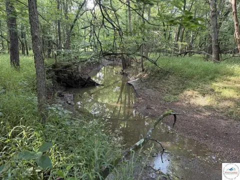
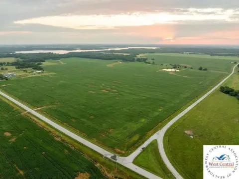
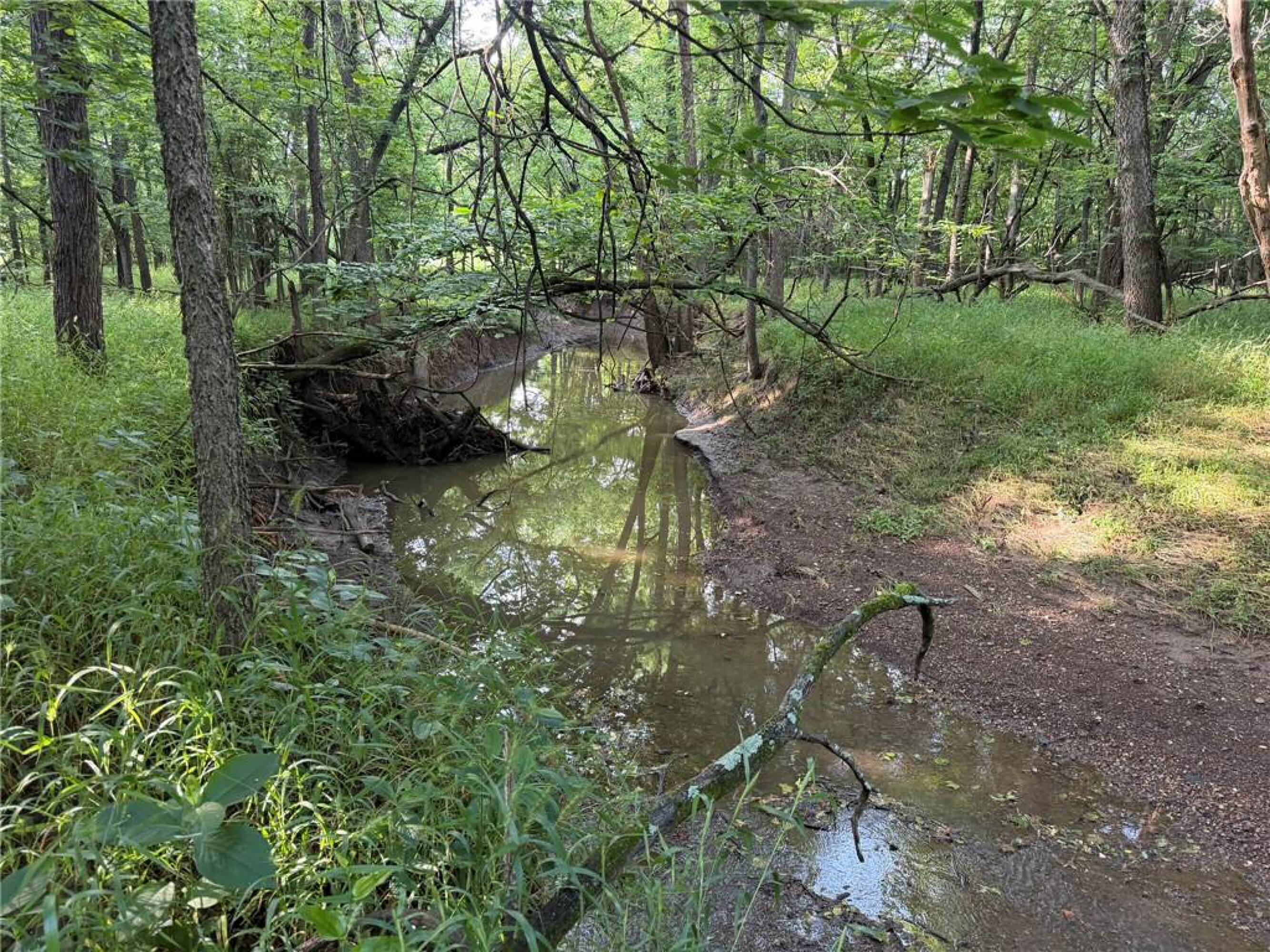
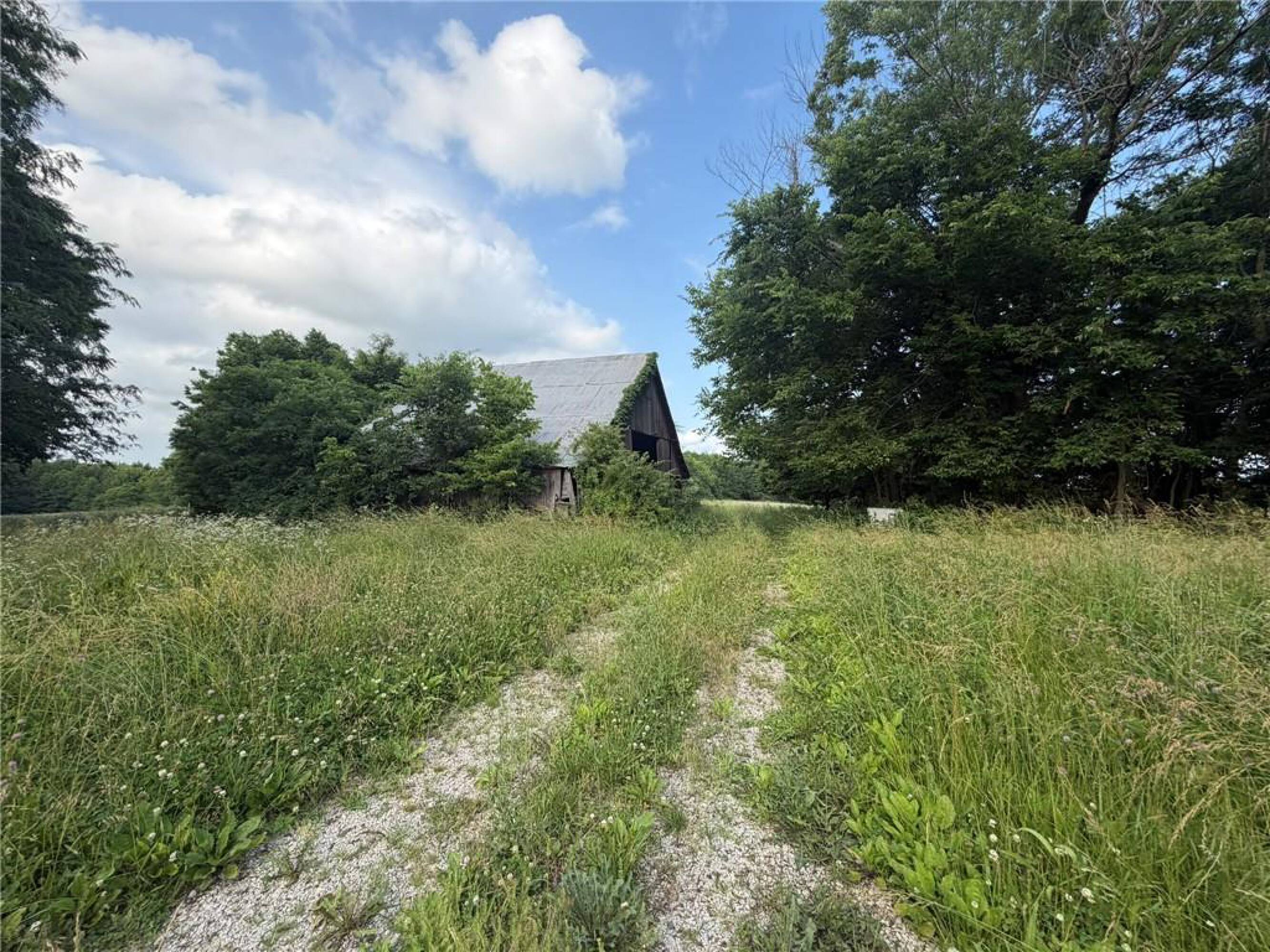
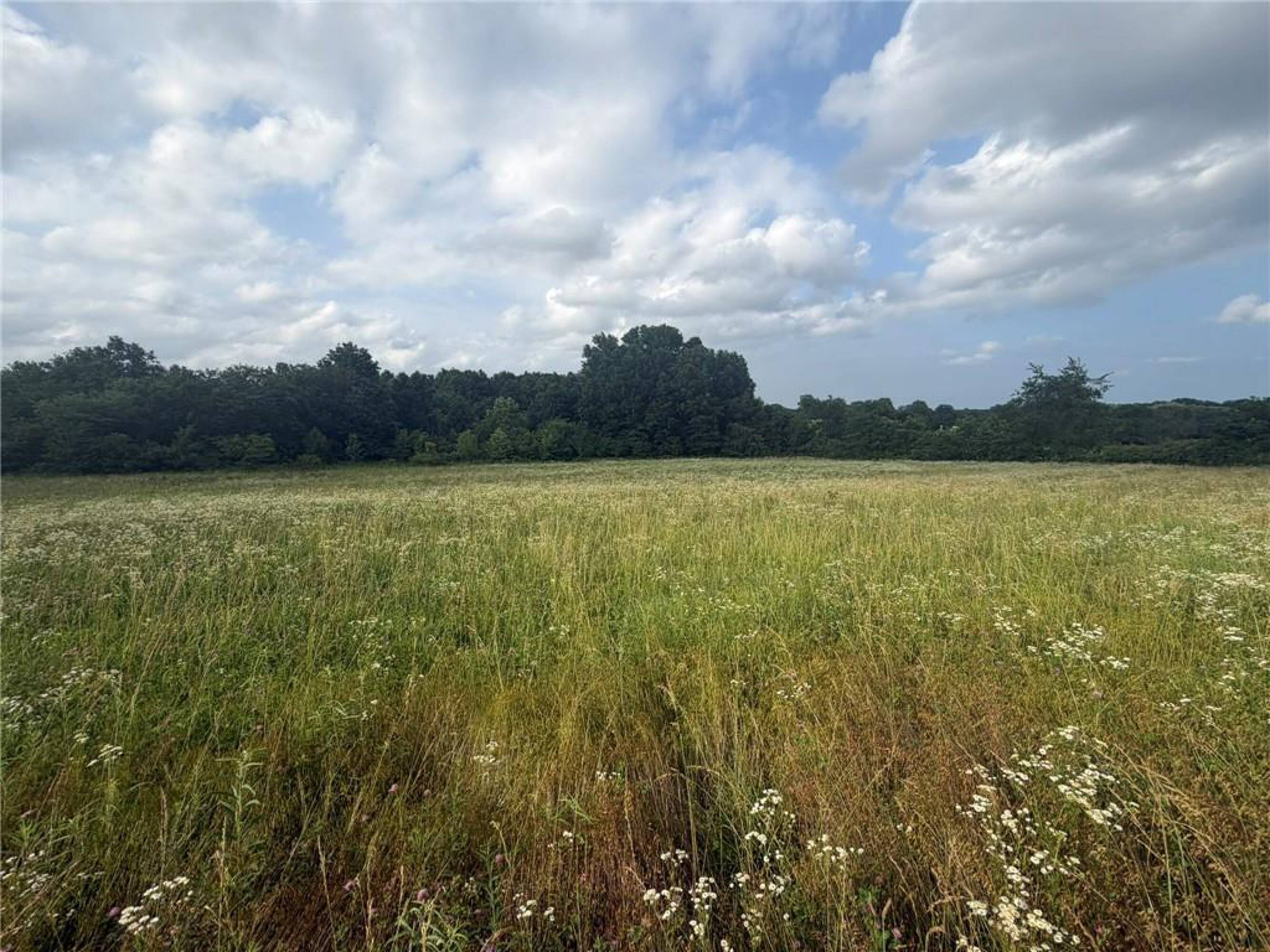
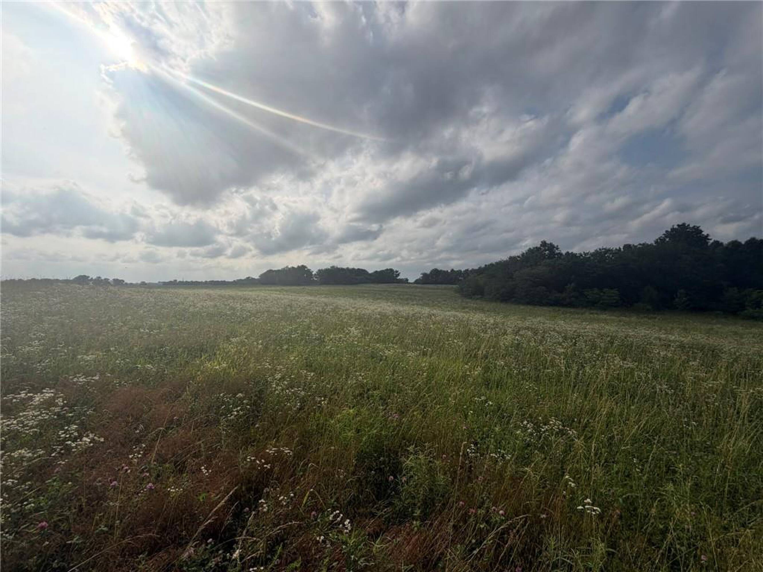
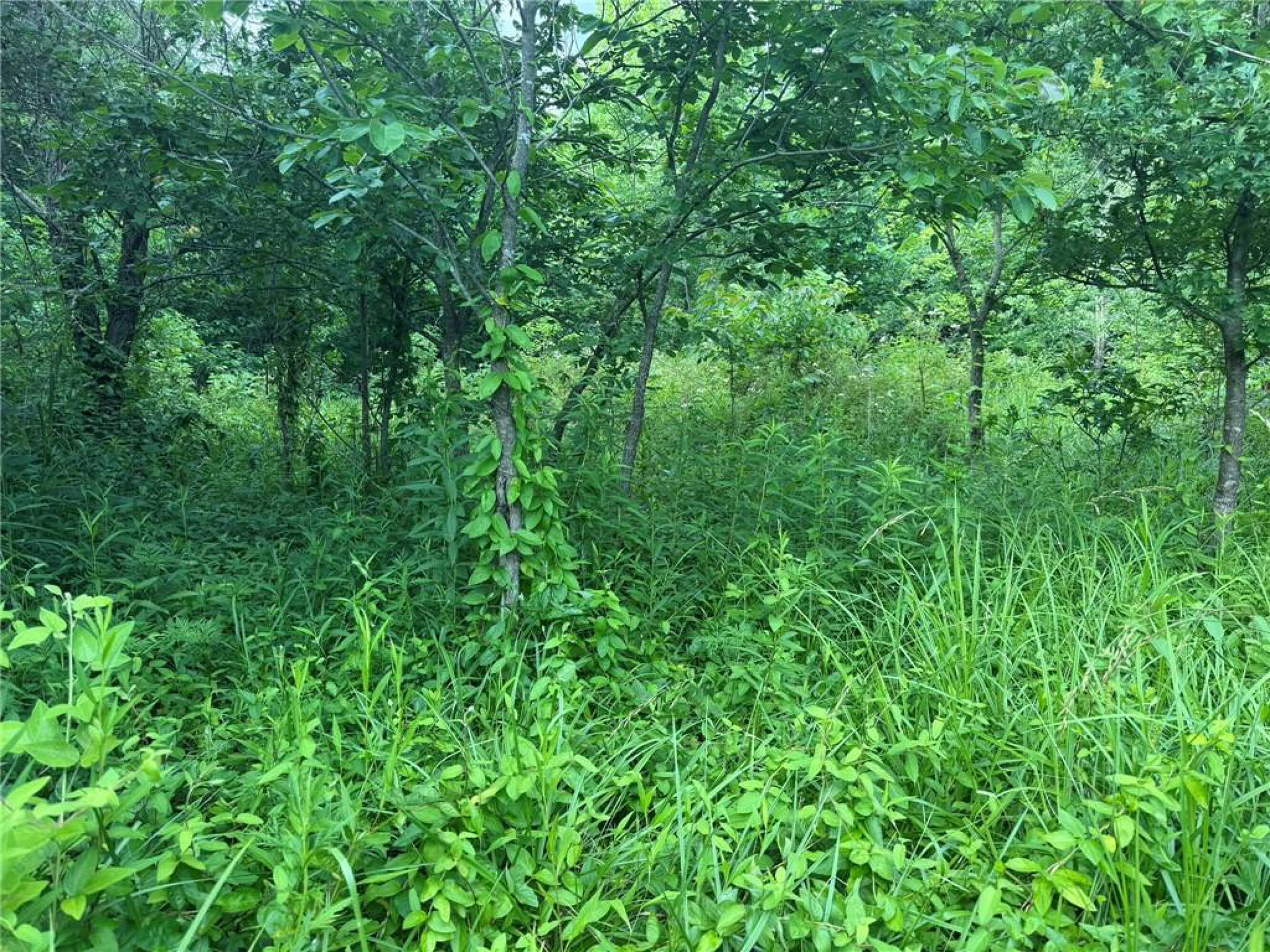
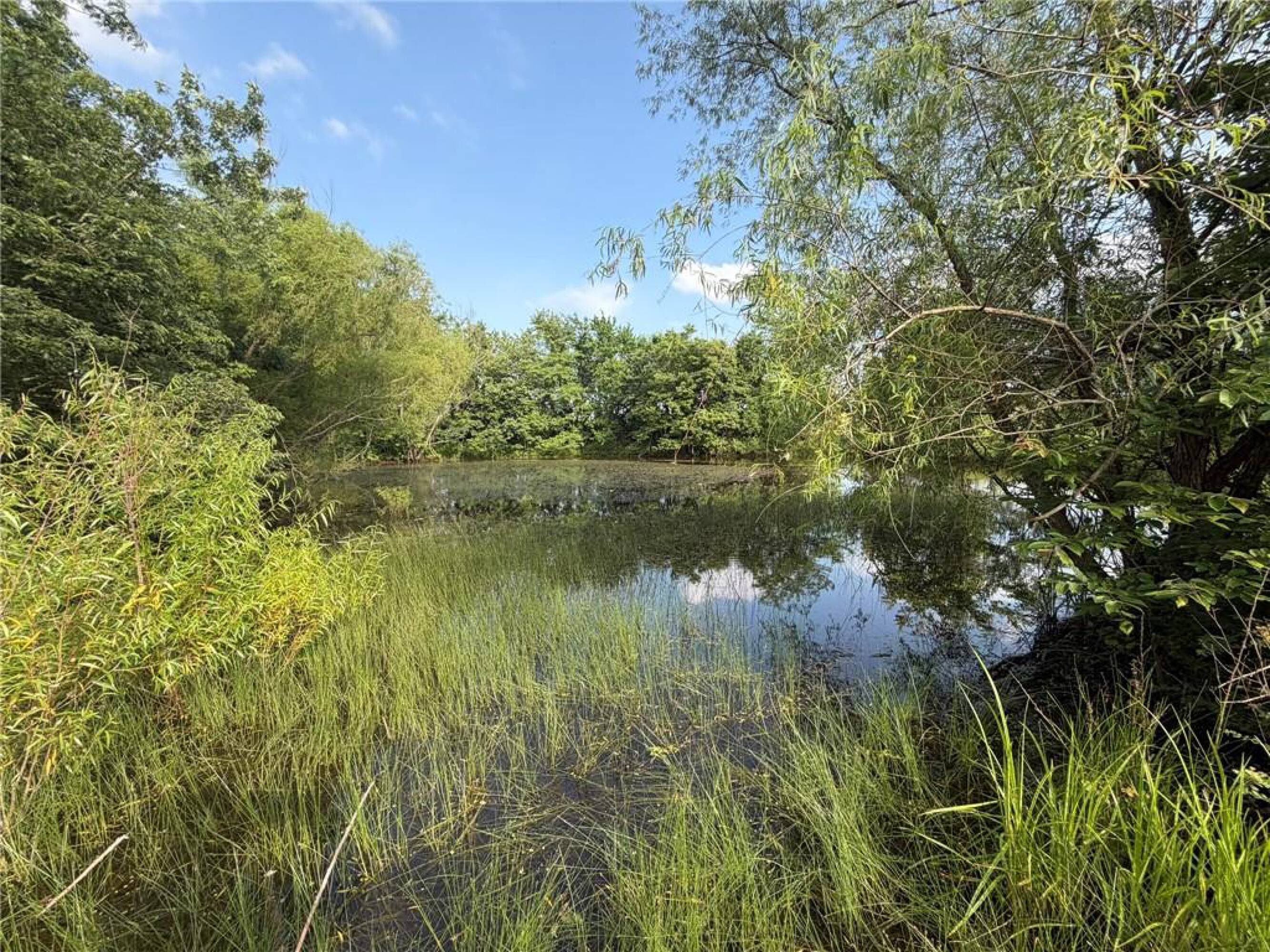
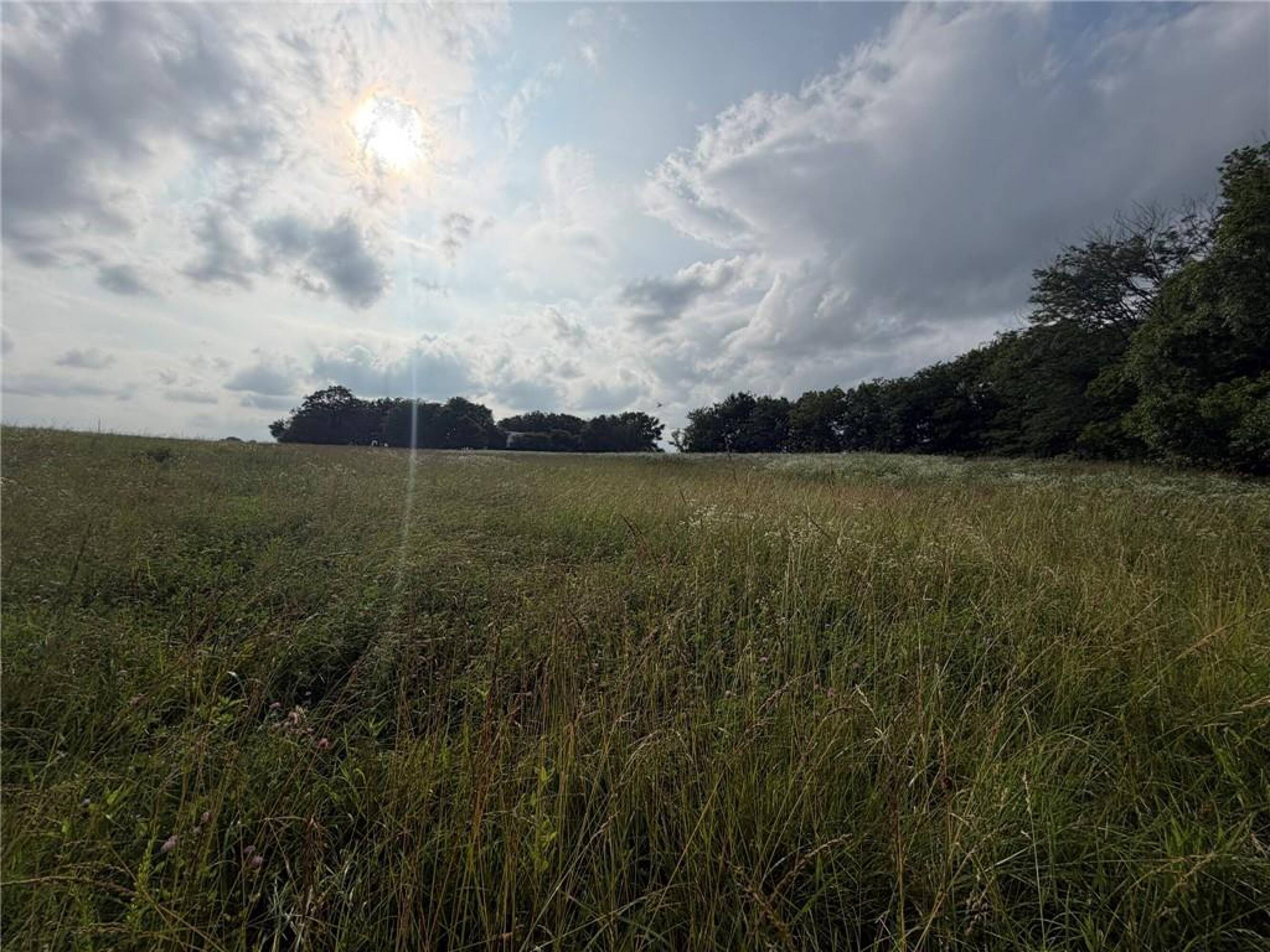
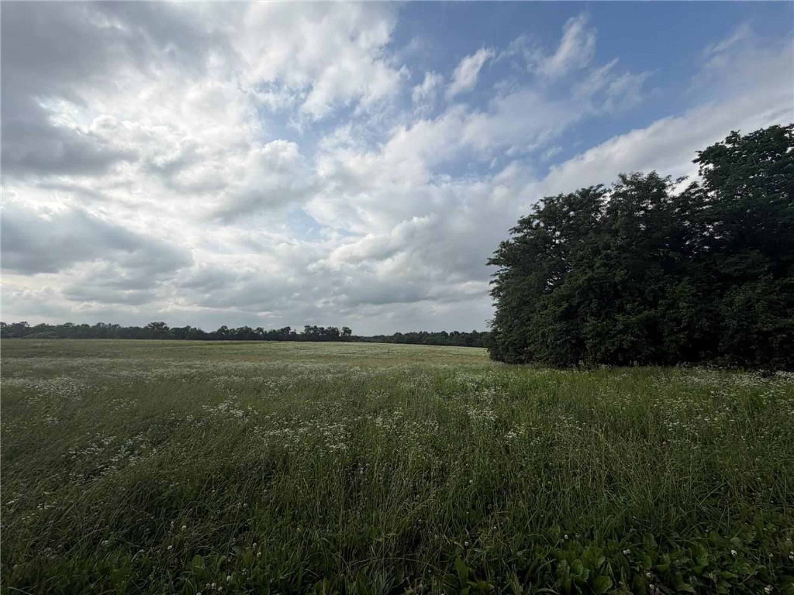
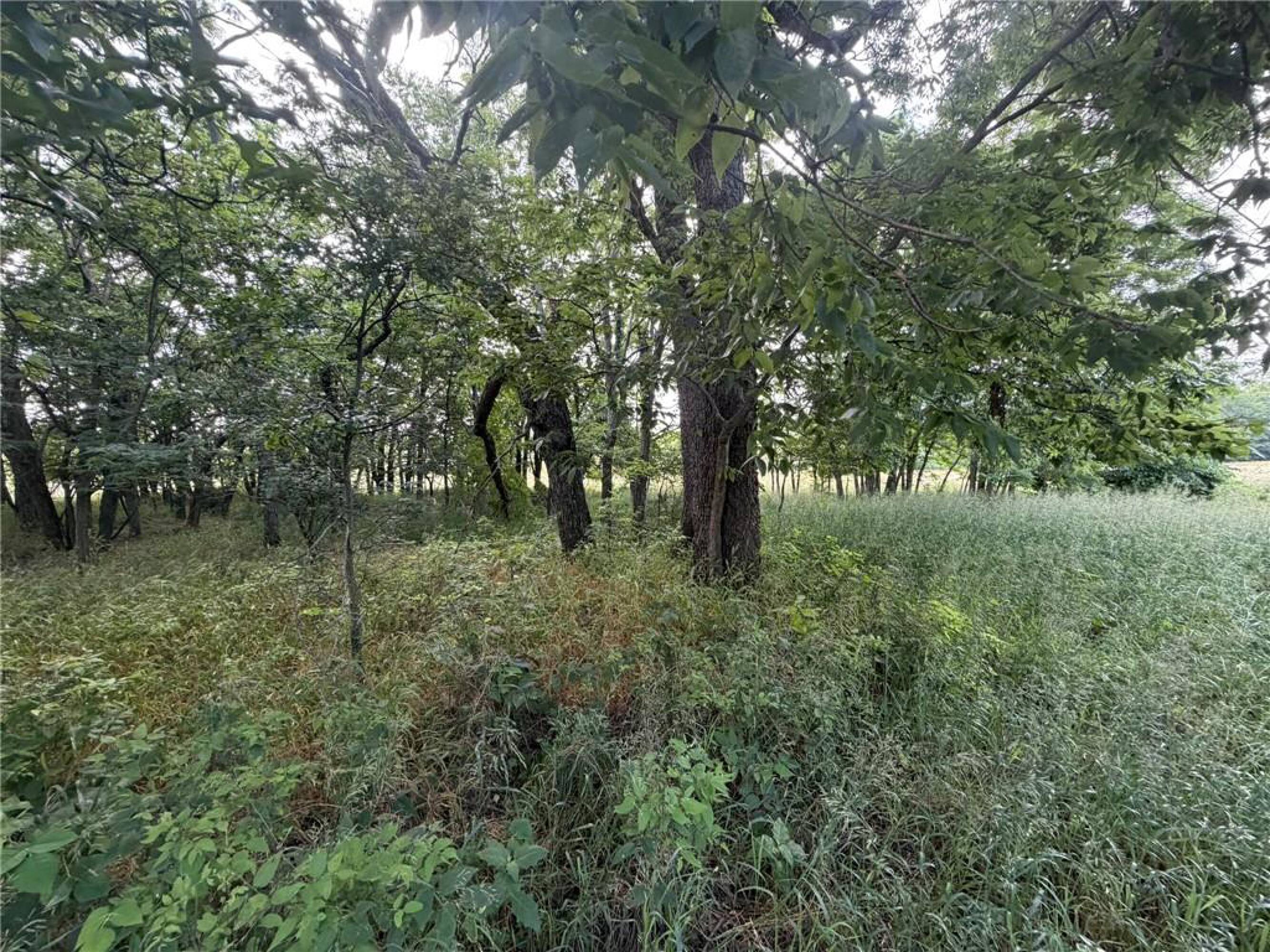
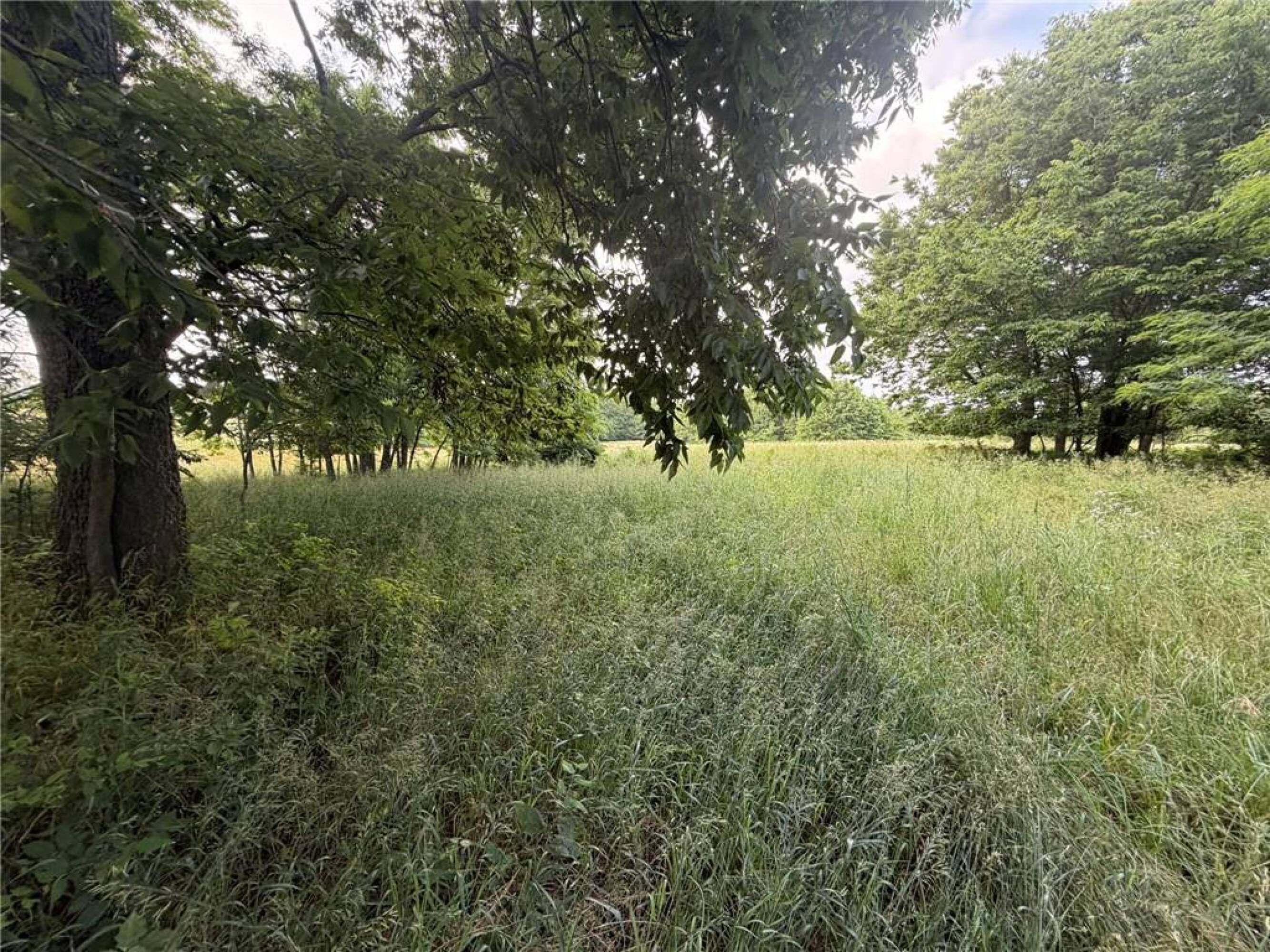
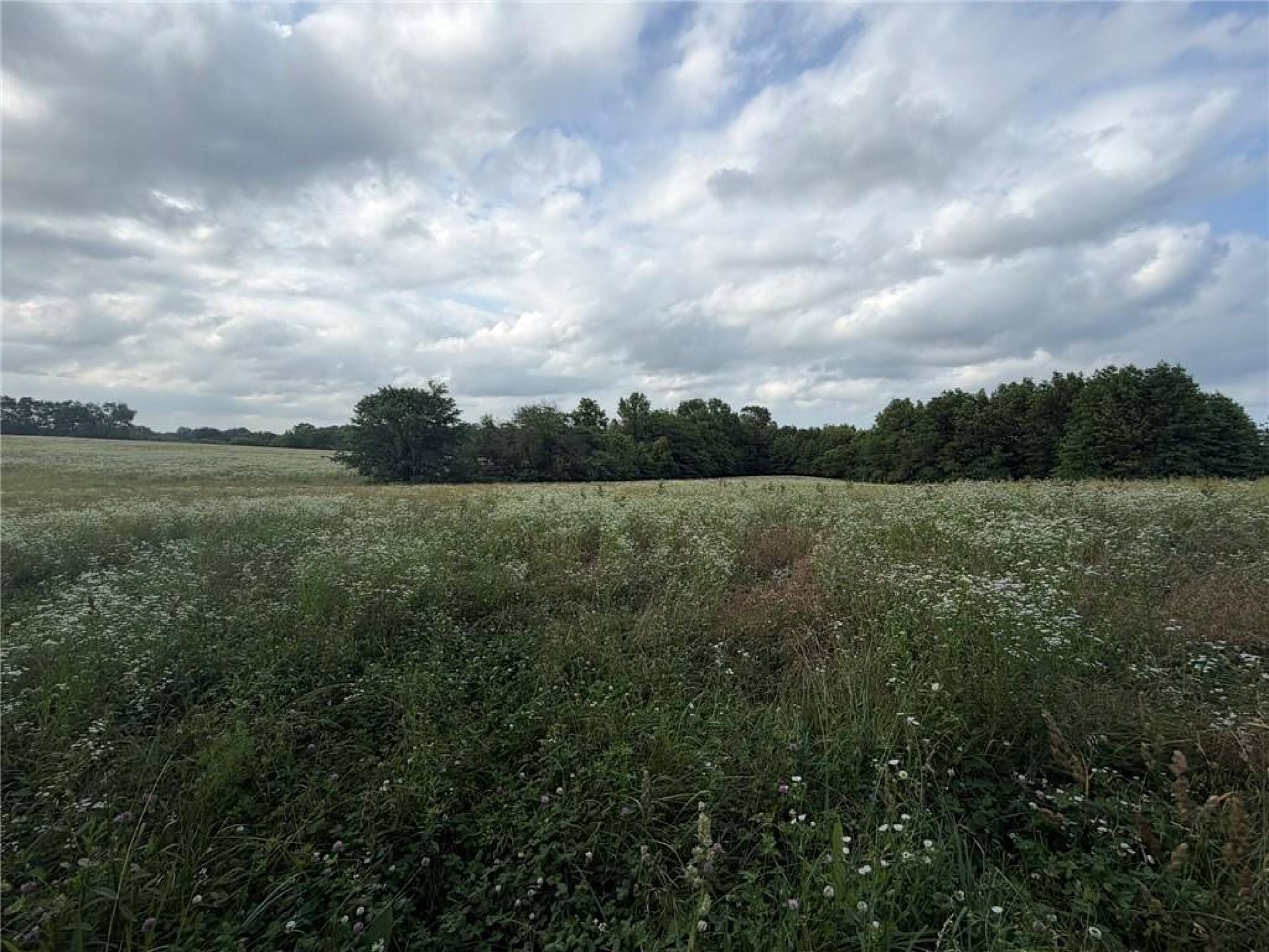
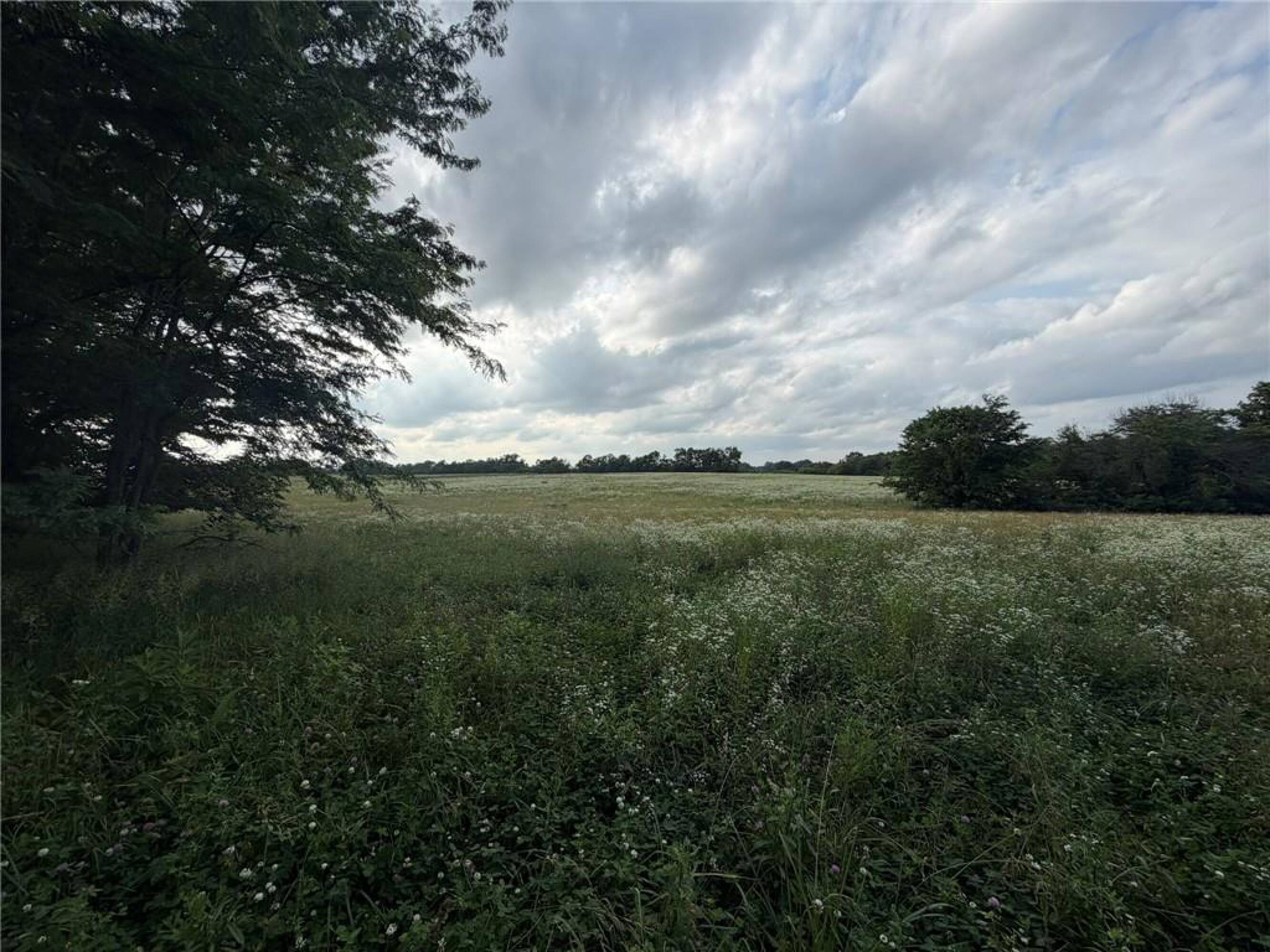
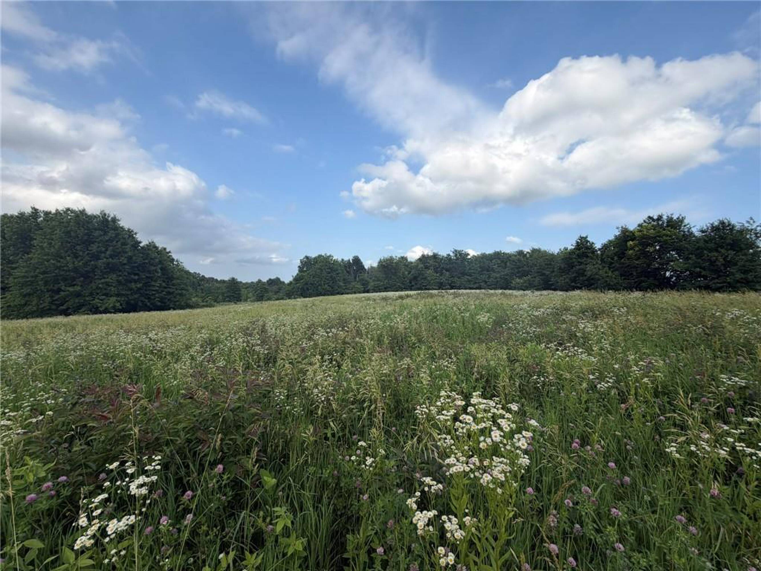
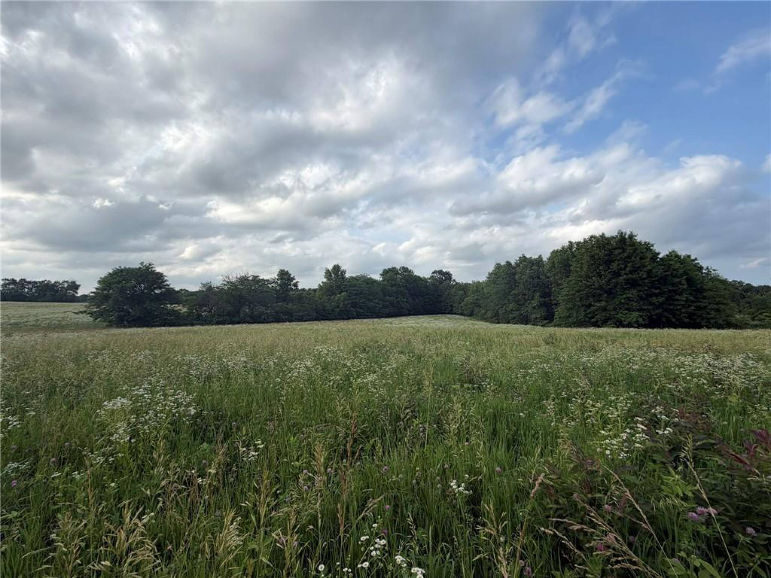
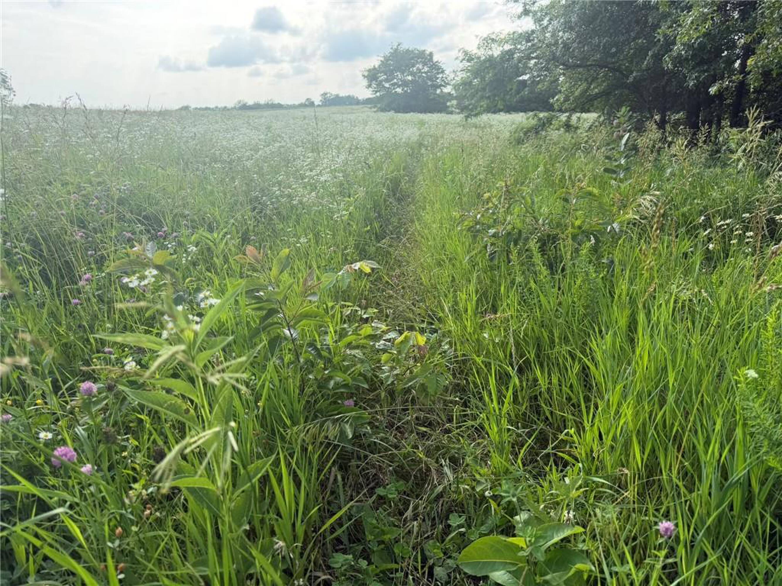
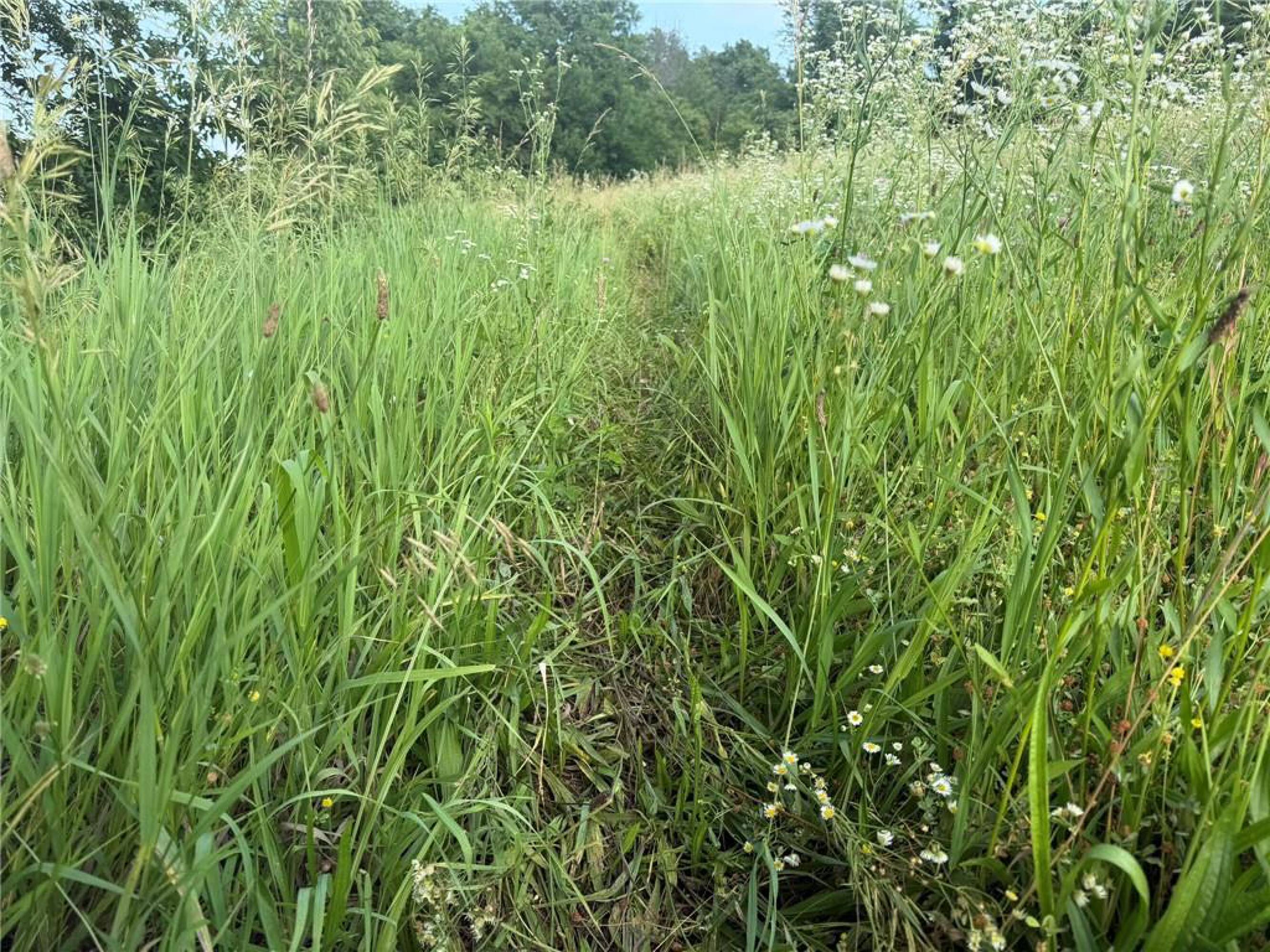
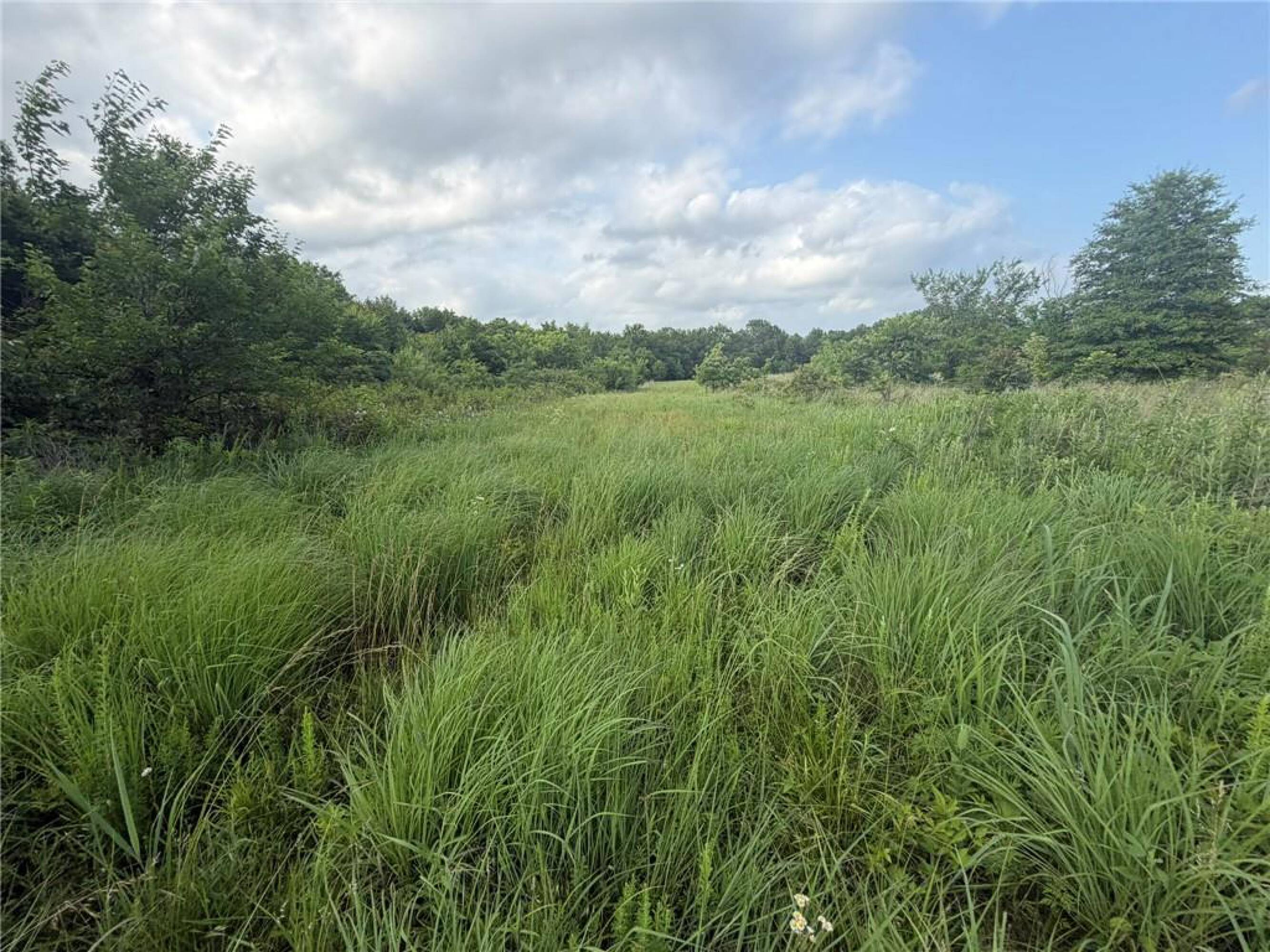
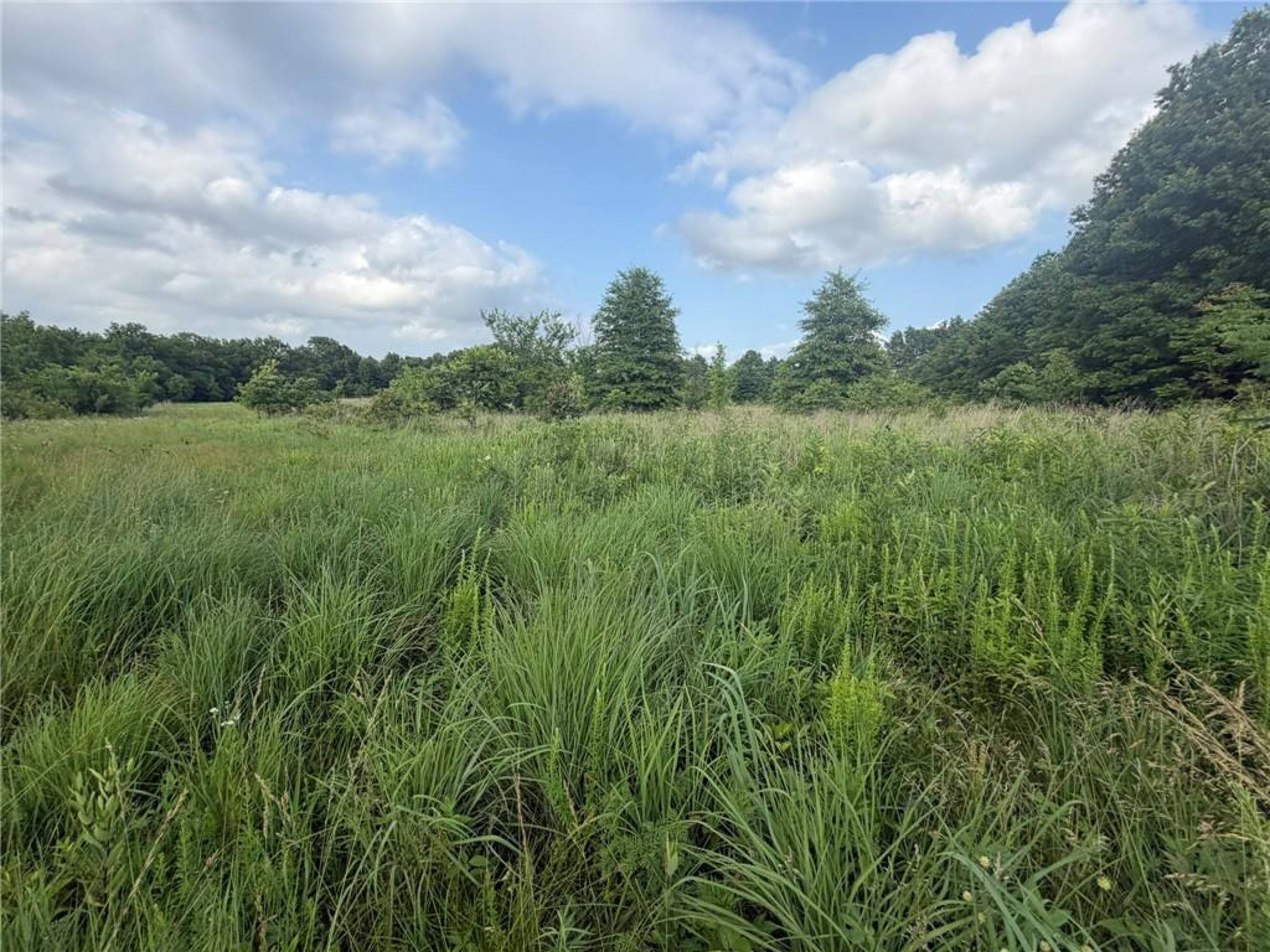
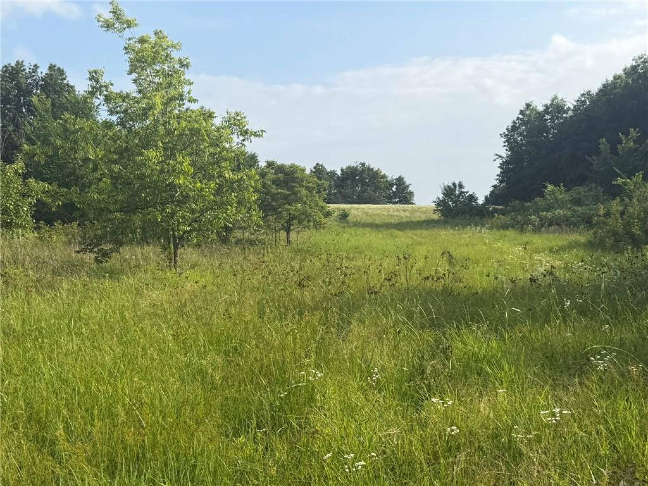
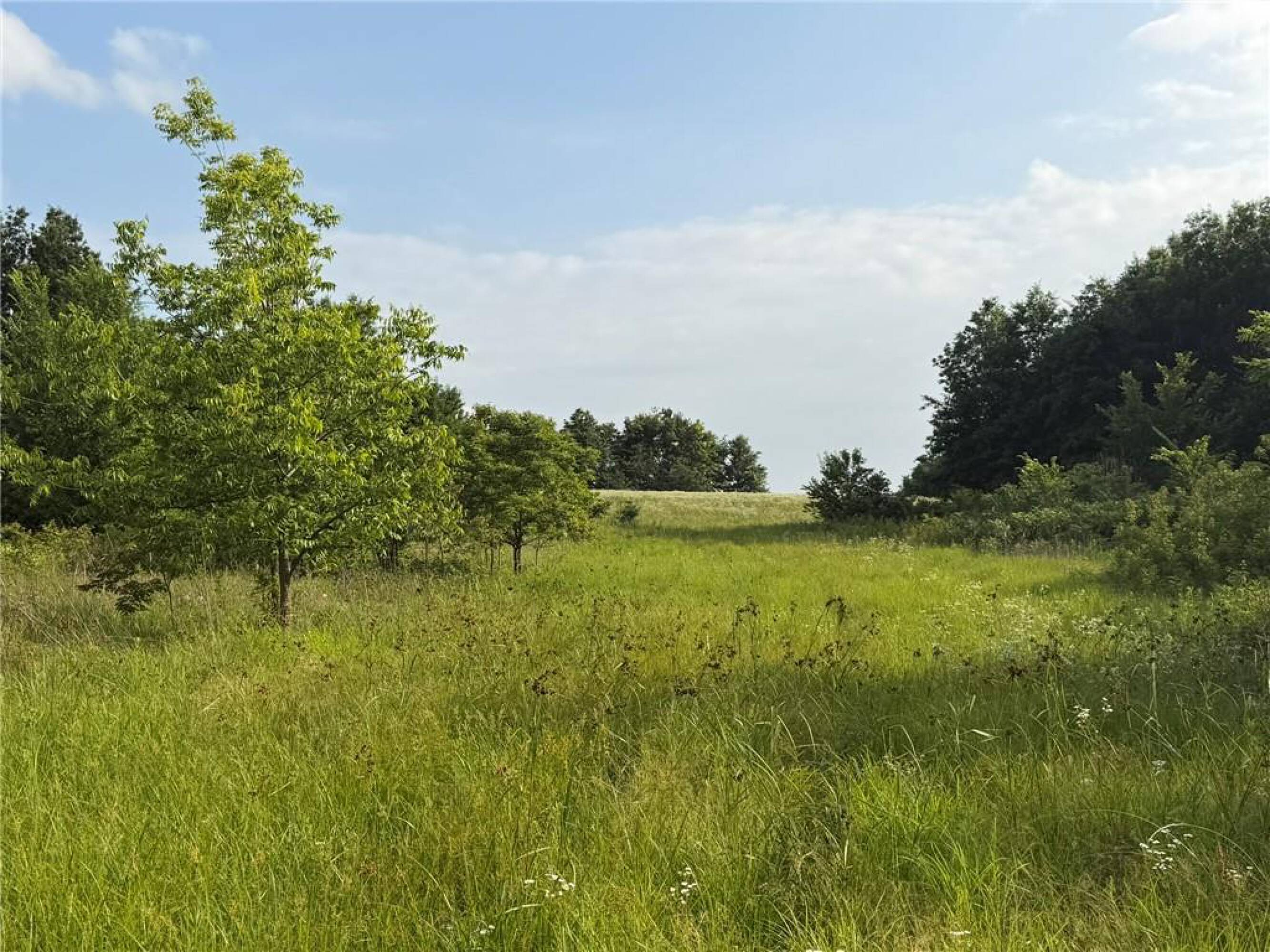
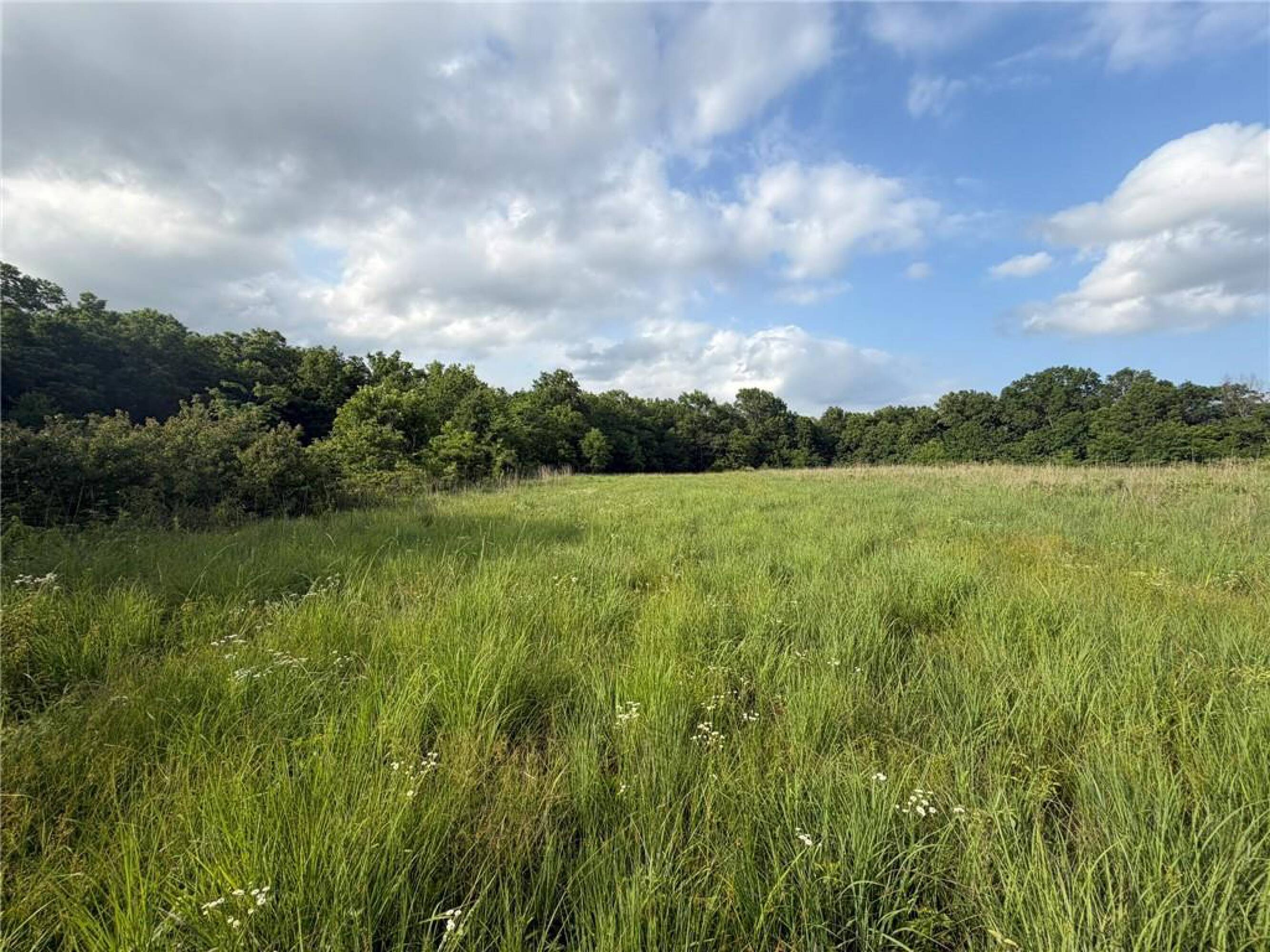
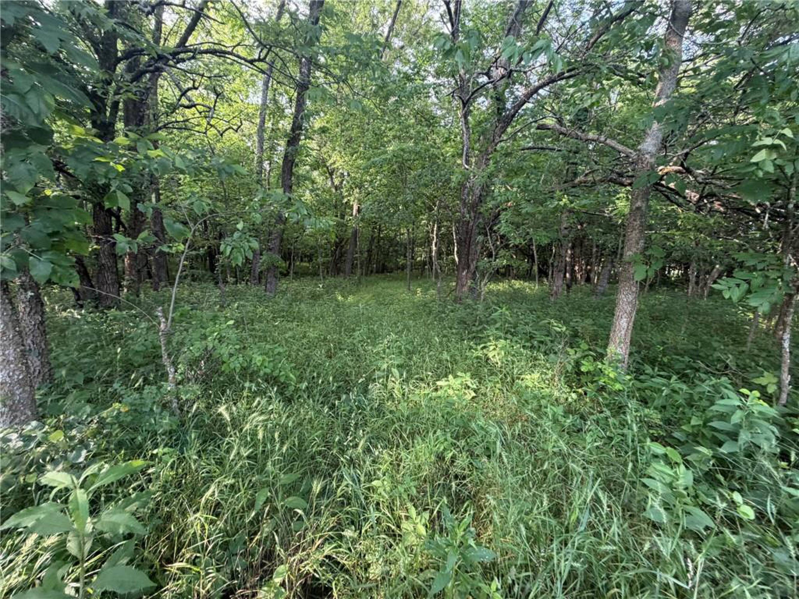
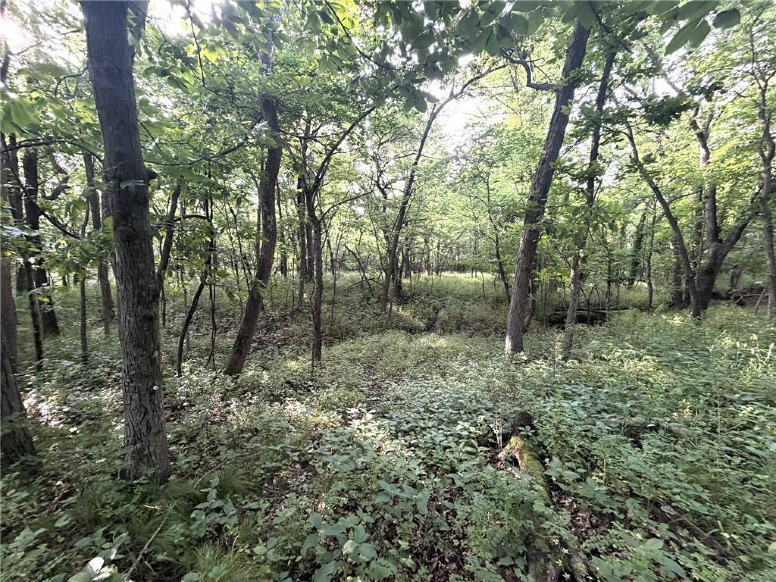
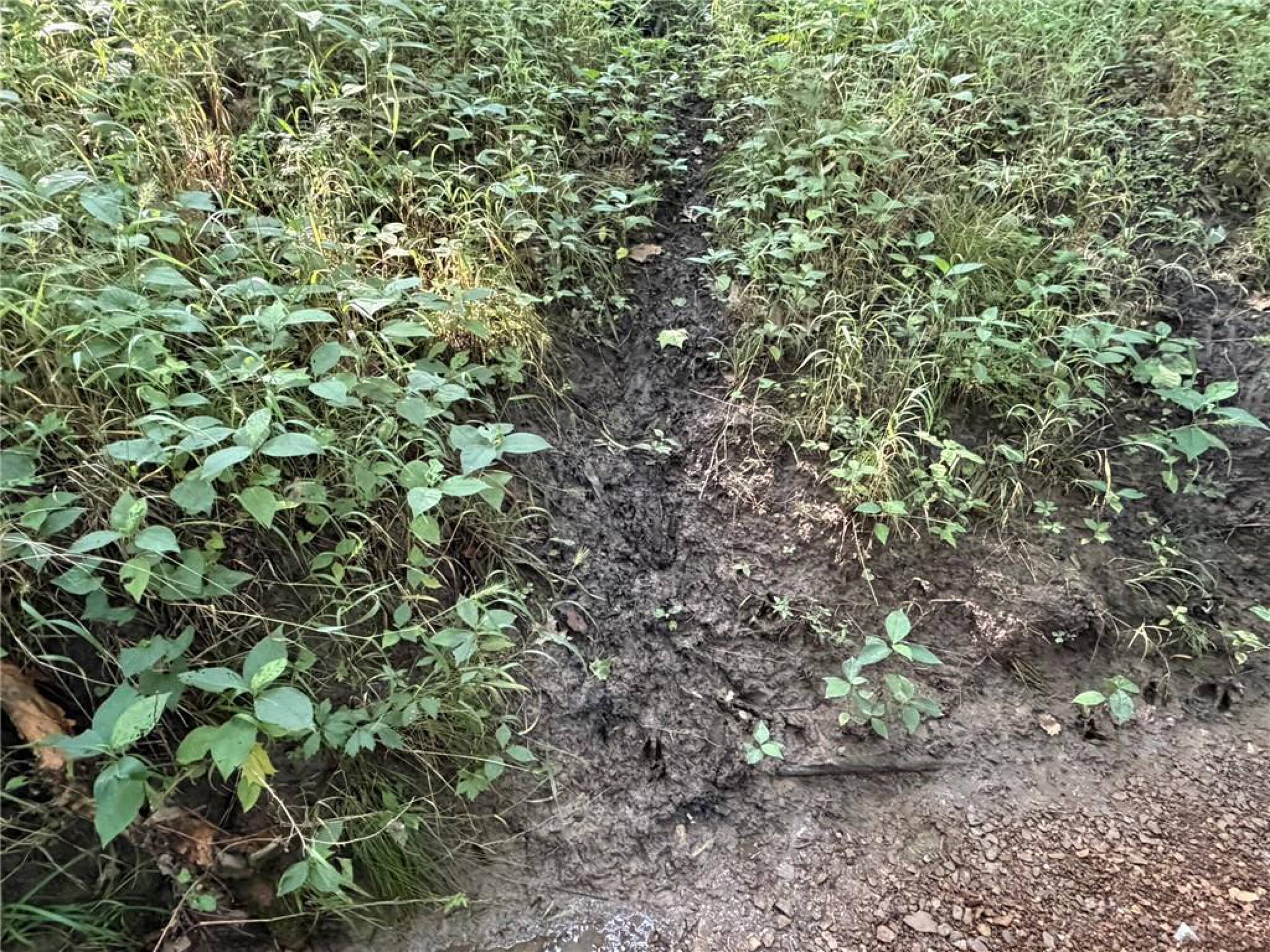
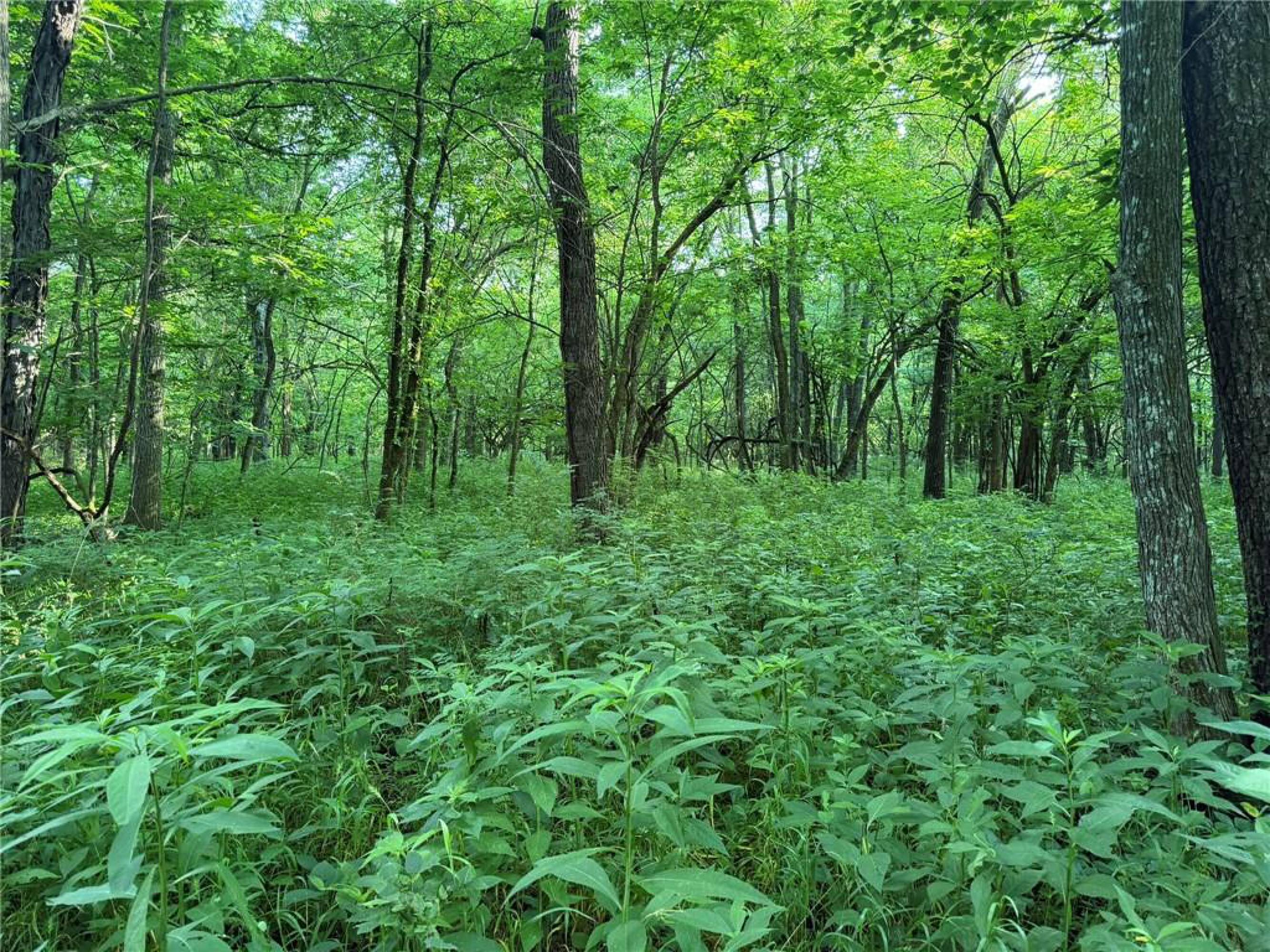
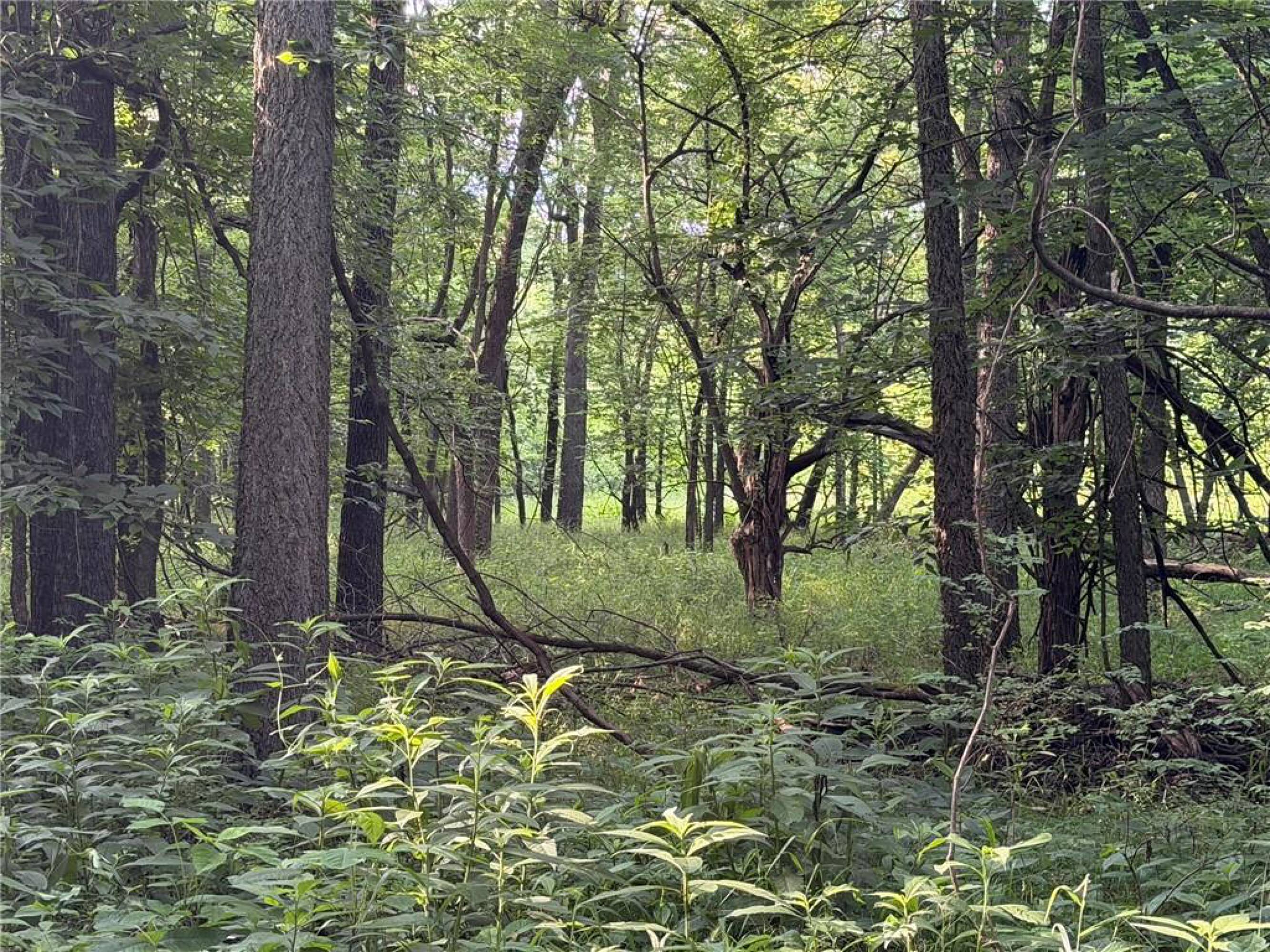
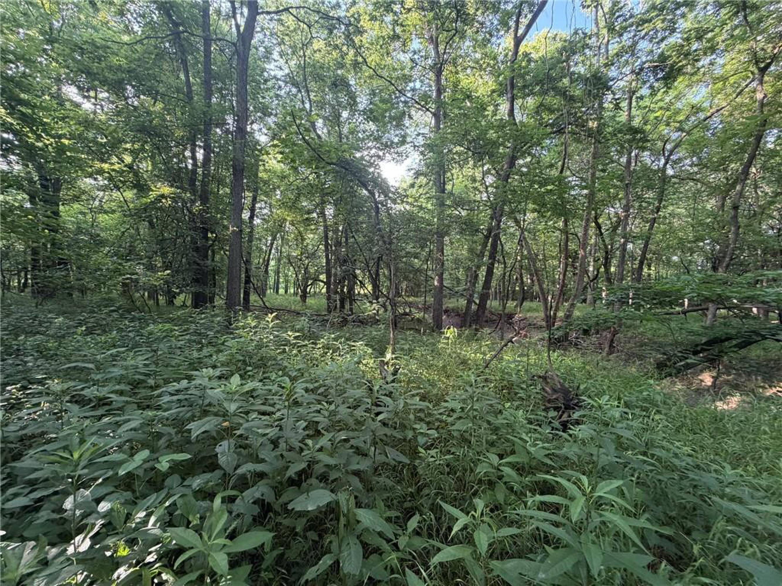
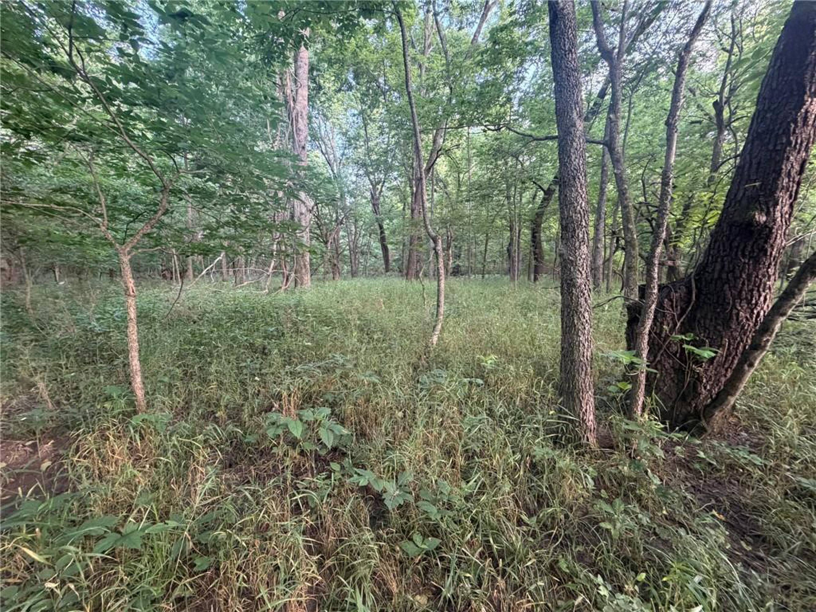
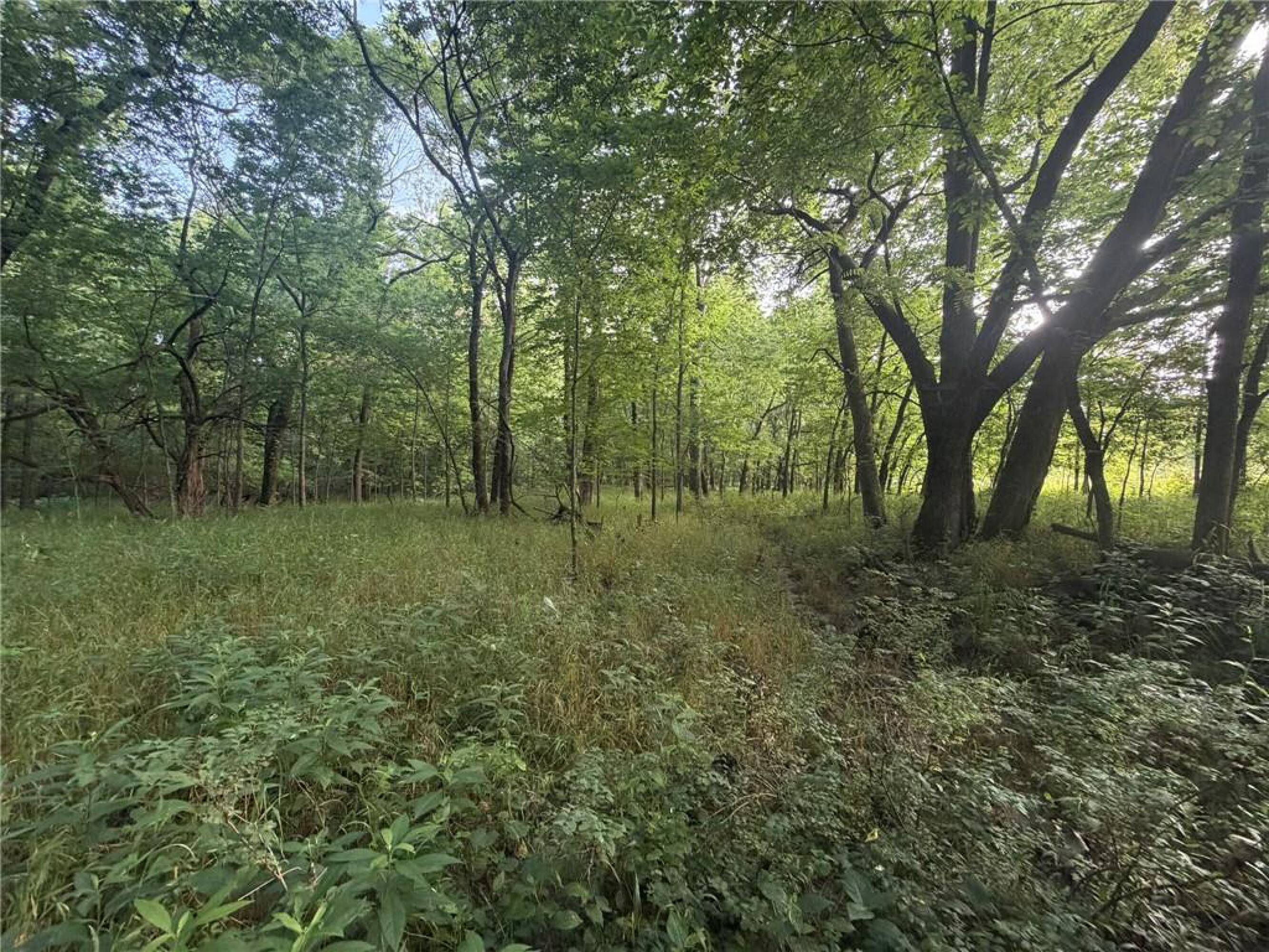
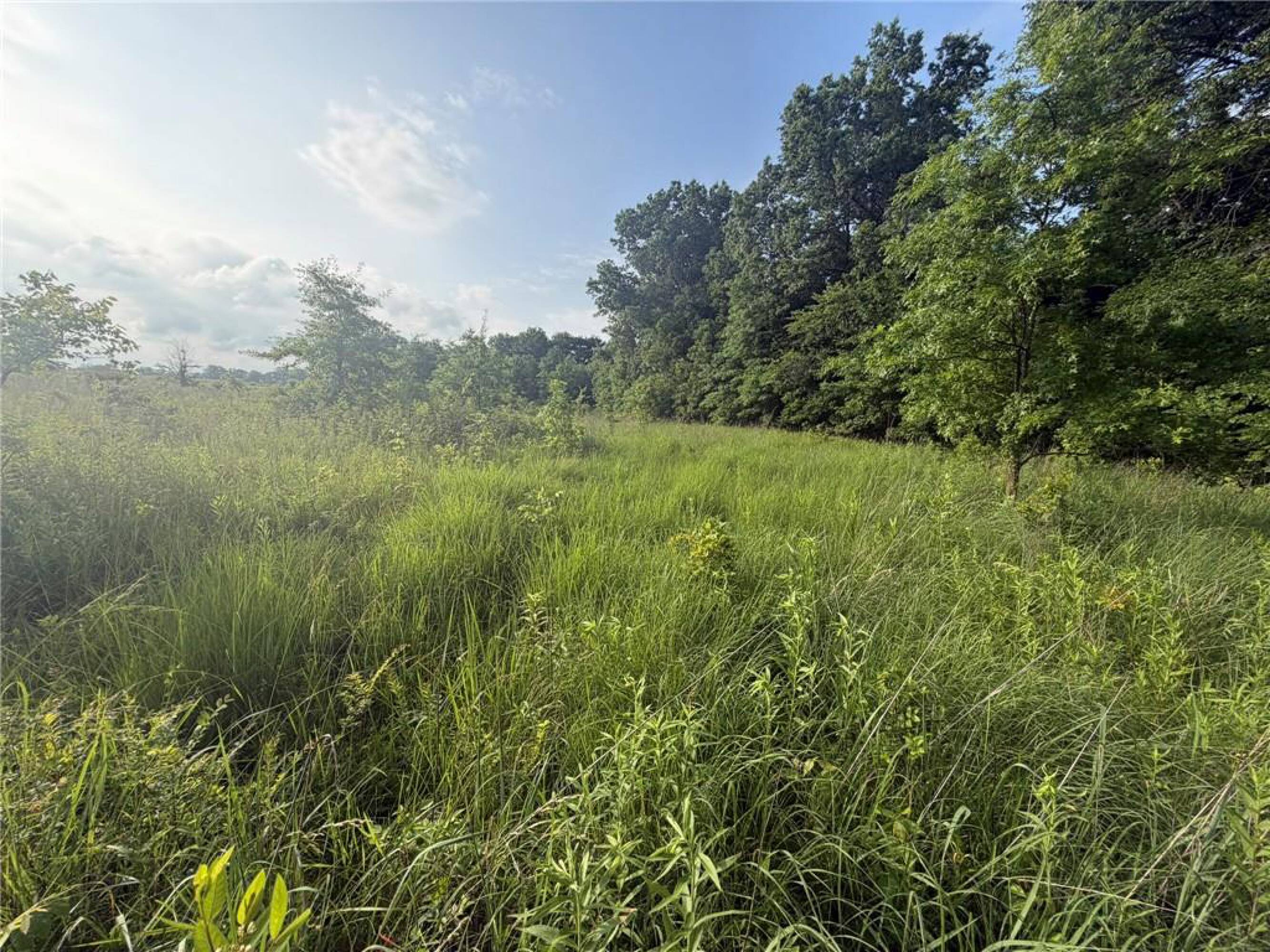
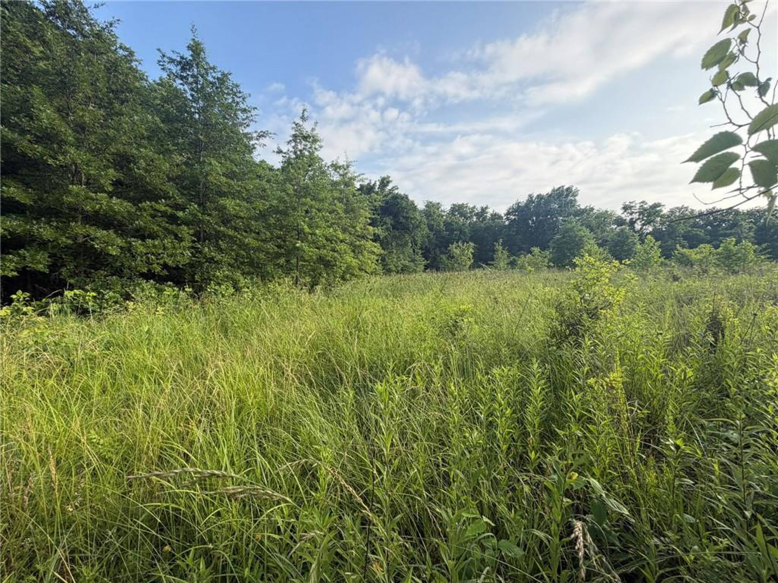
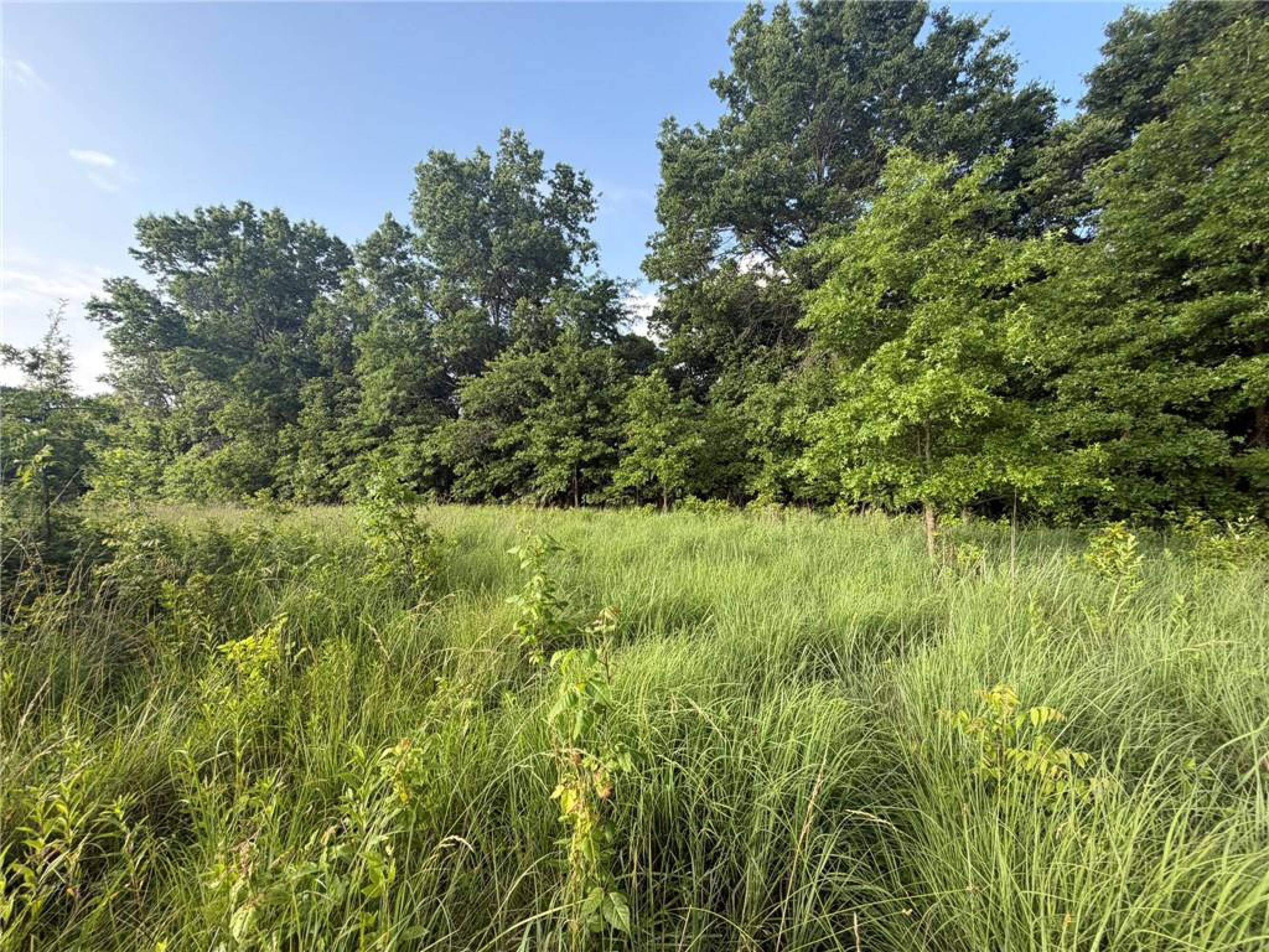
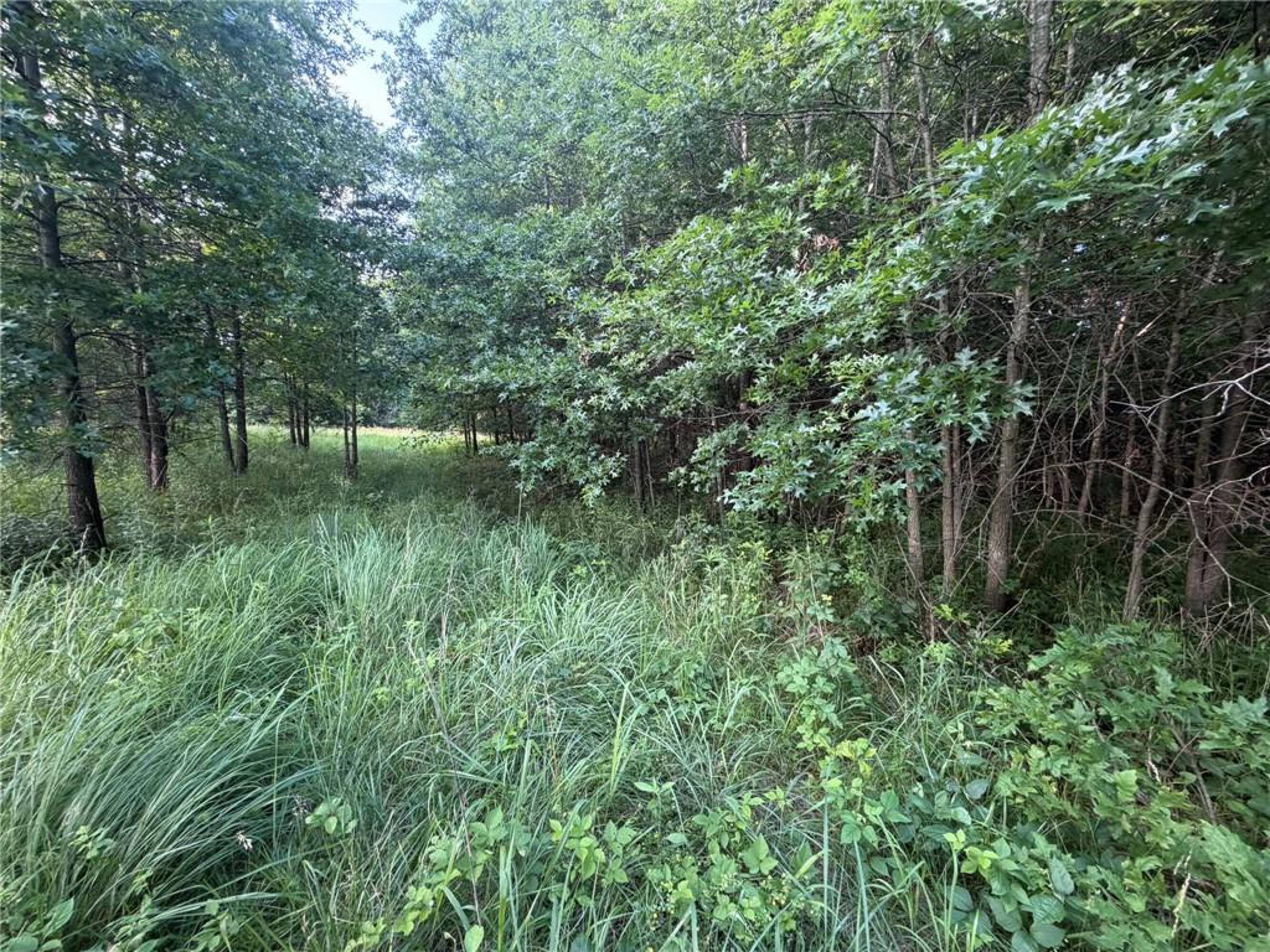
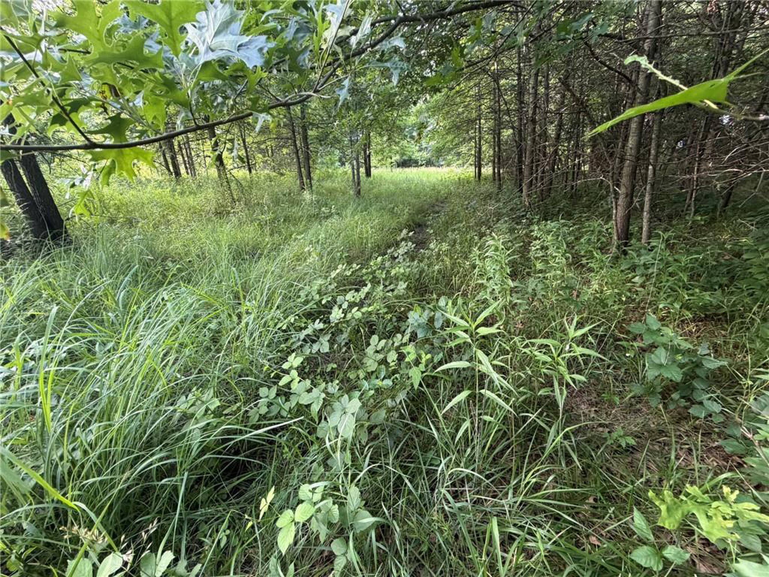
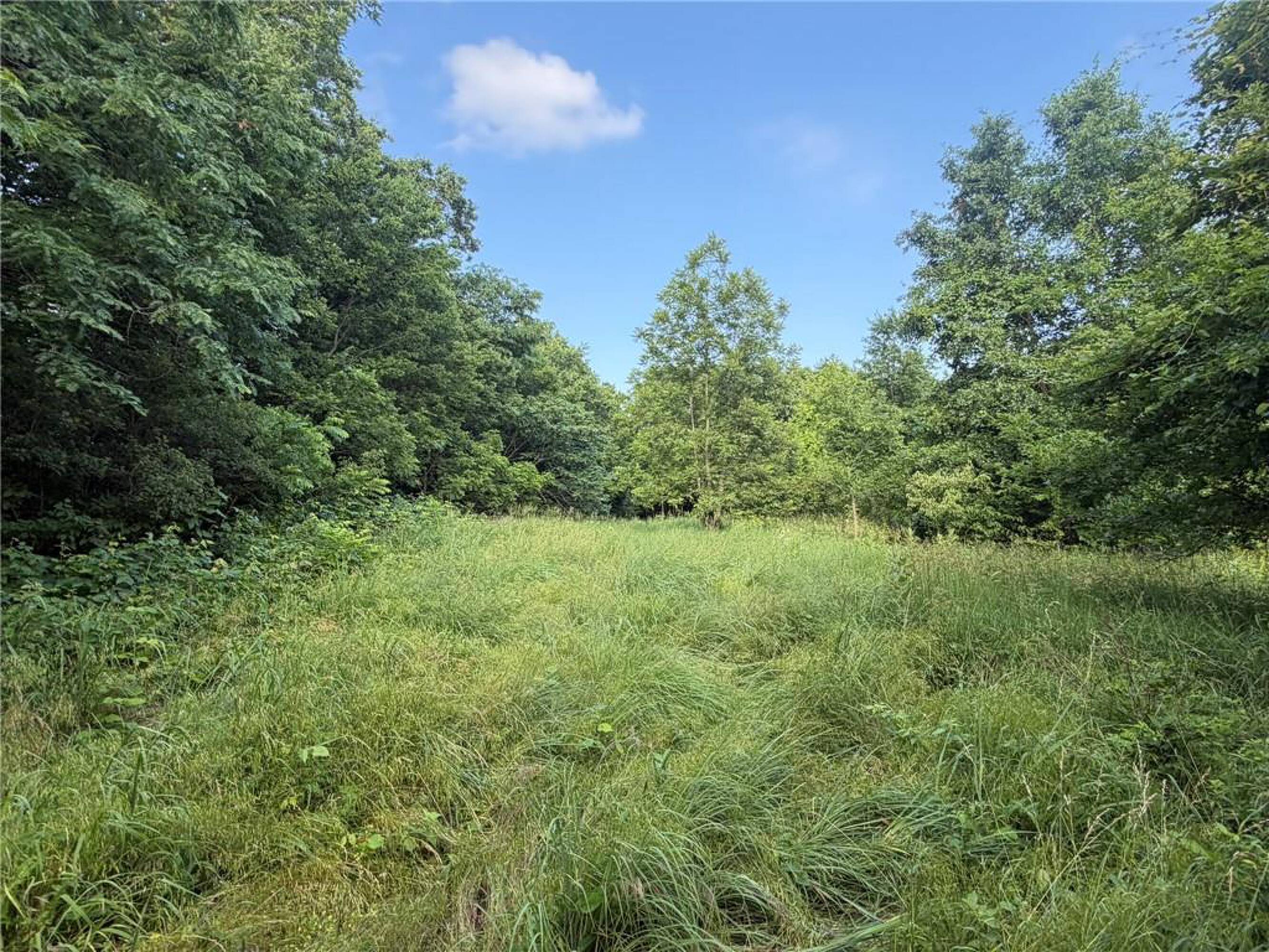
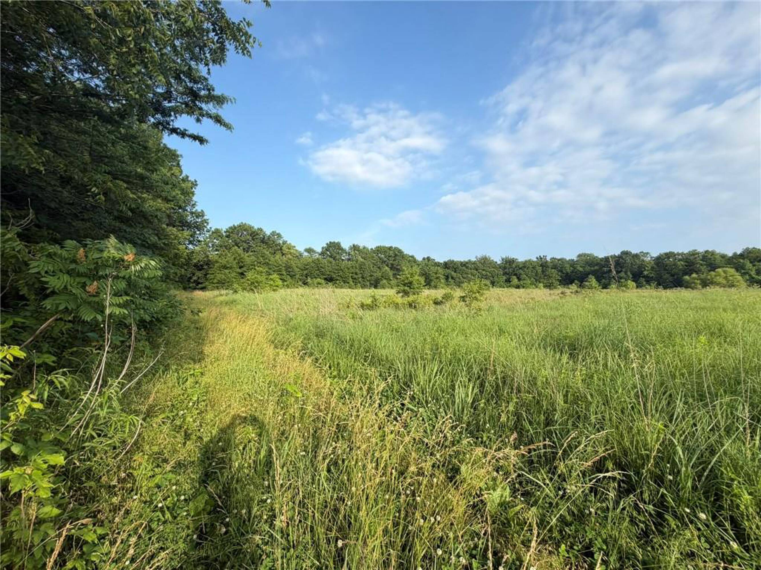
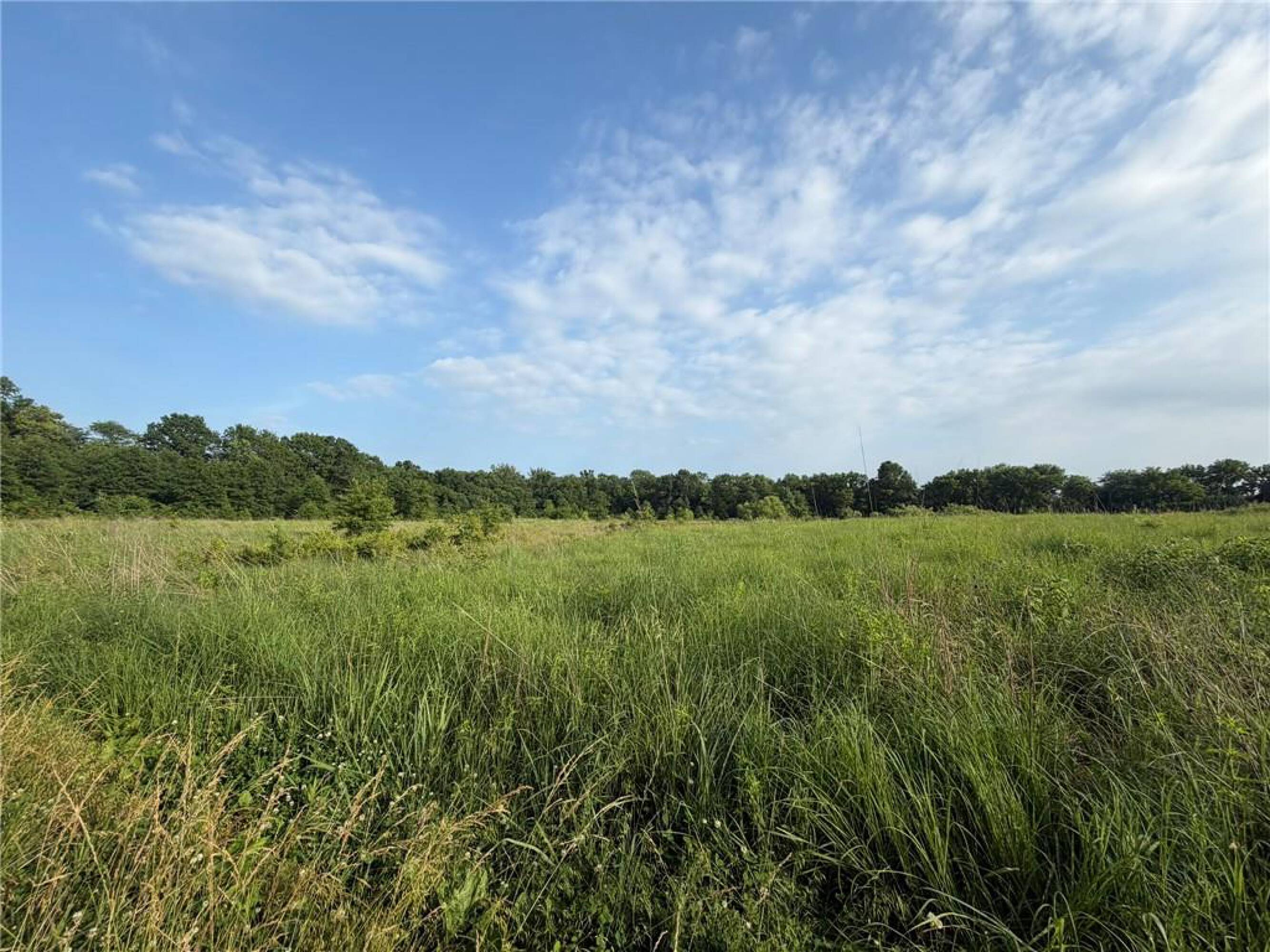
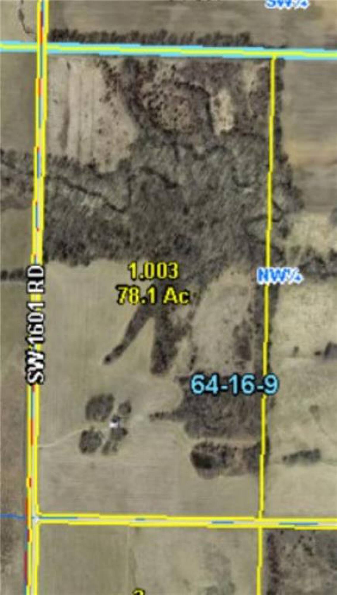
- 78.10‑acre farm with a mix of approximately half timber and half tillable ground
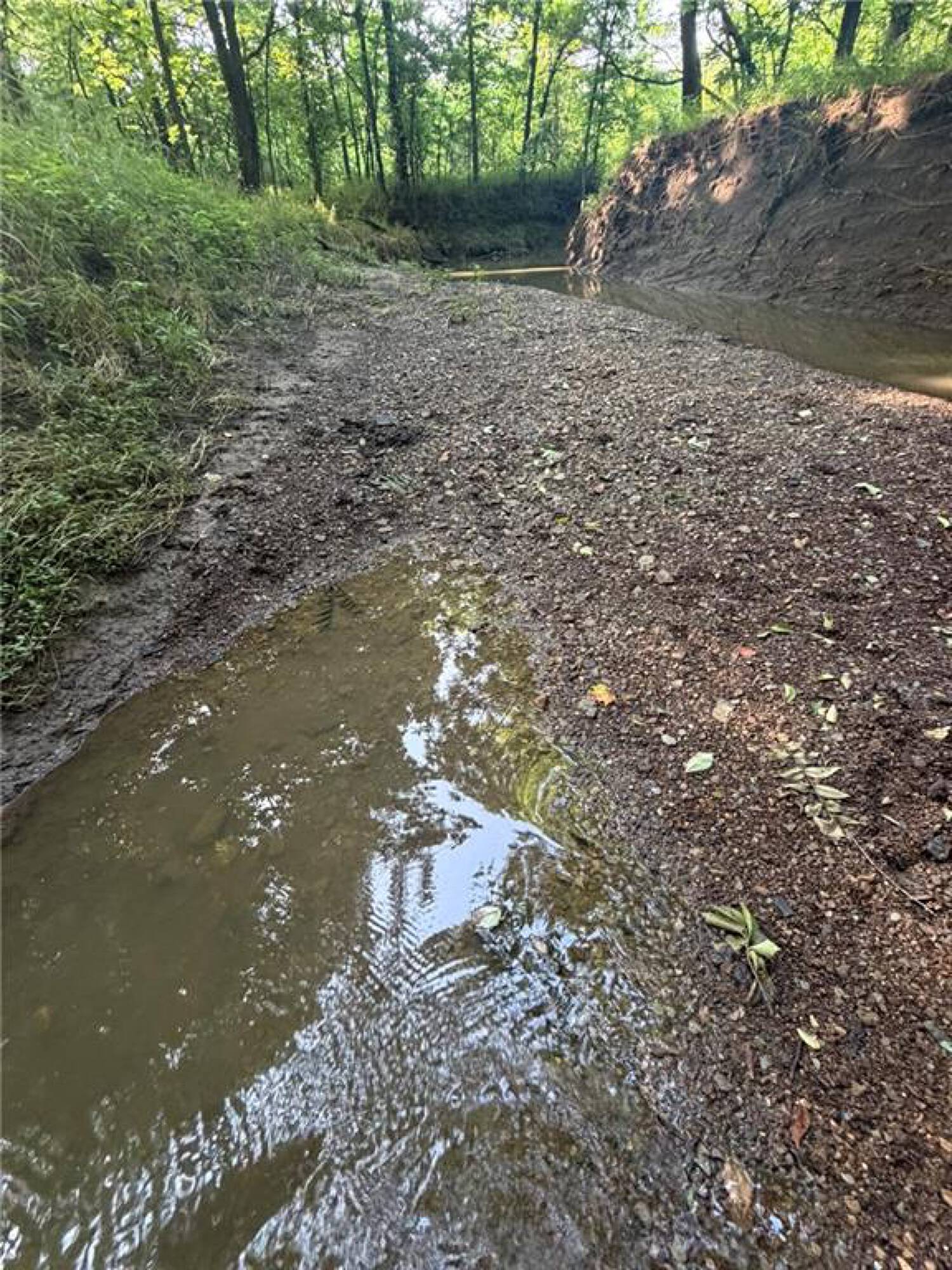
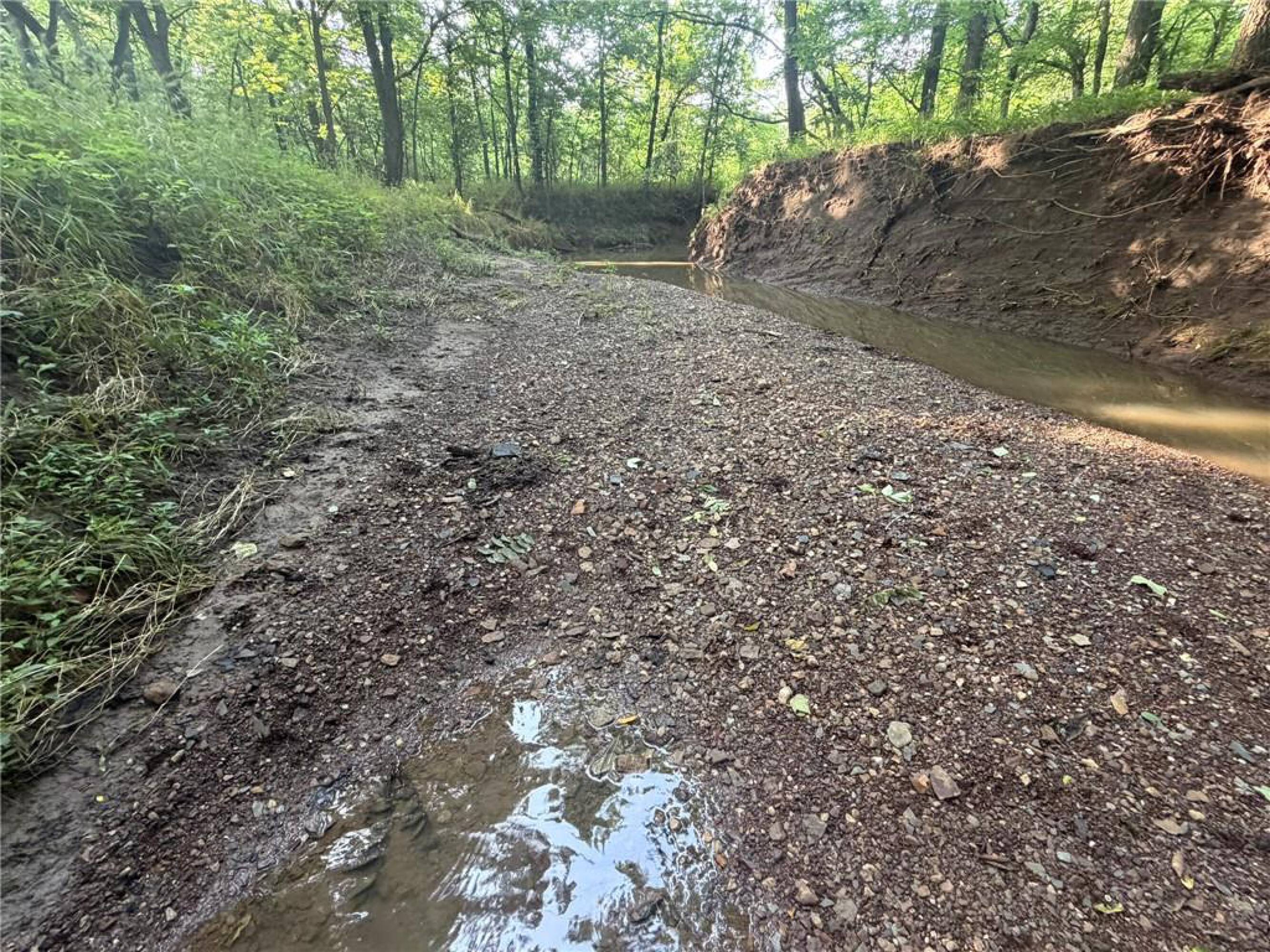
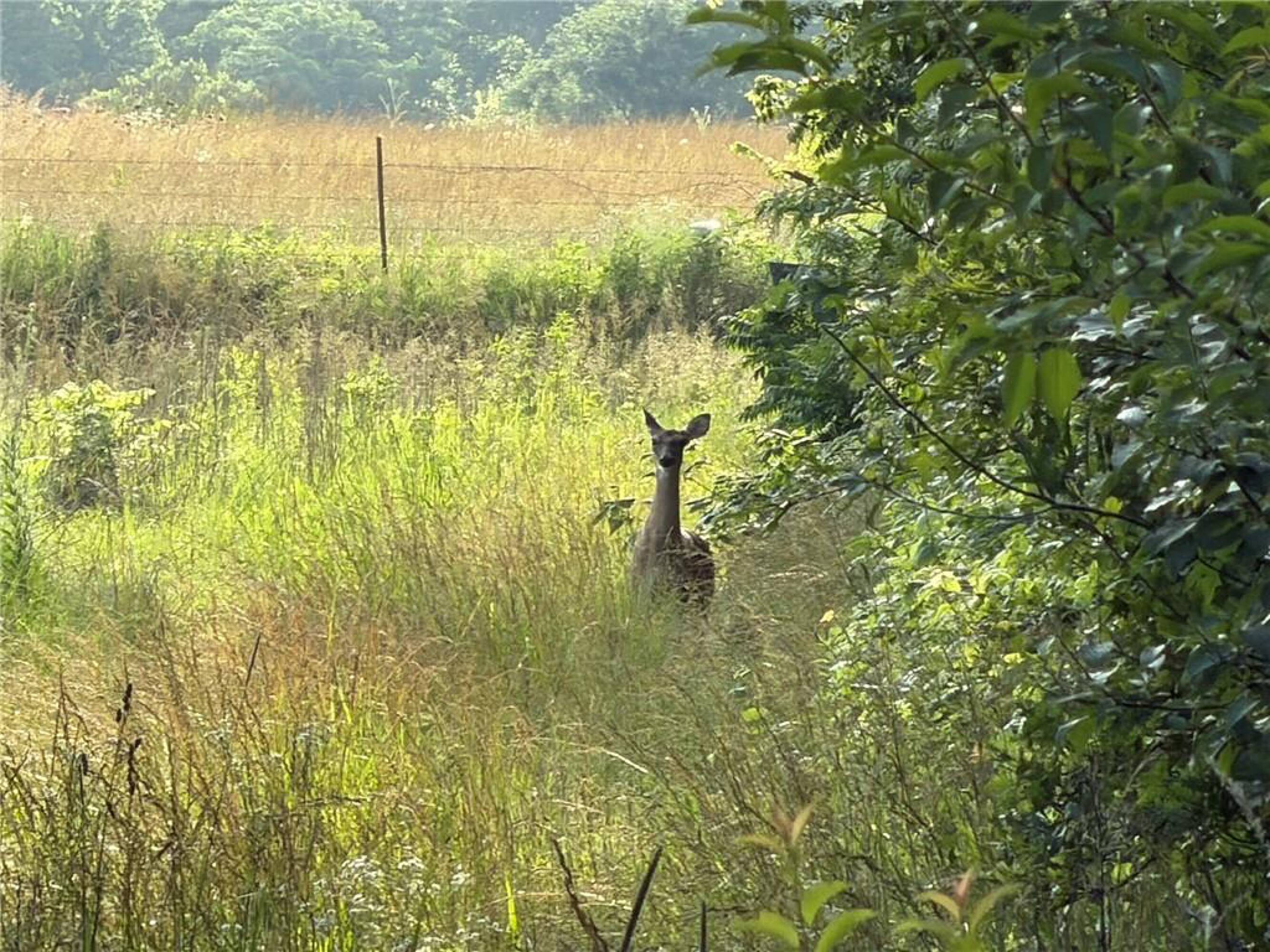
- Elevated homesite overlooking sweeping meadows rolling to a timber‑lined, year‑round creek
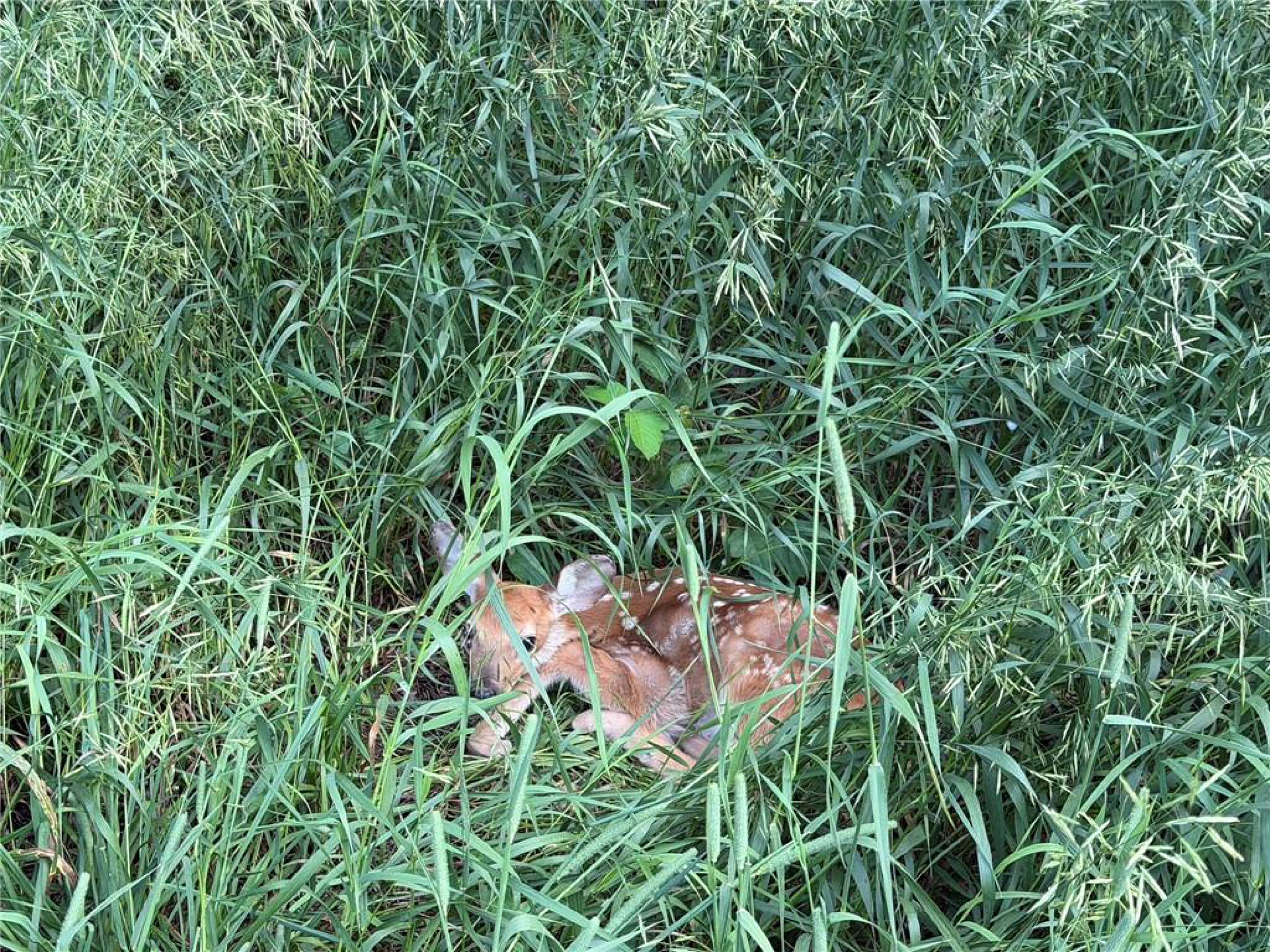
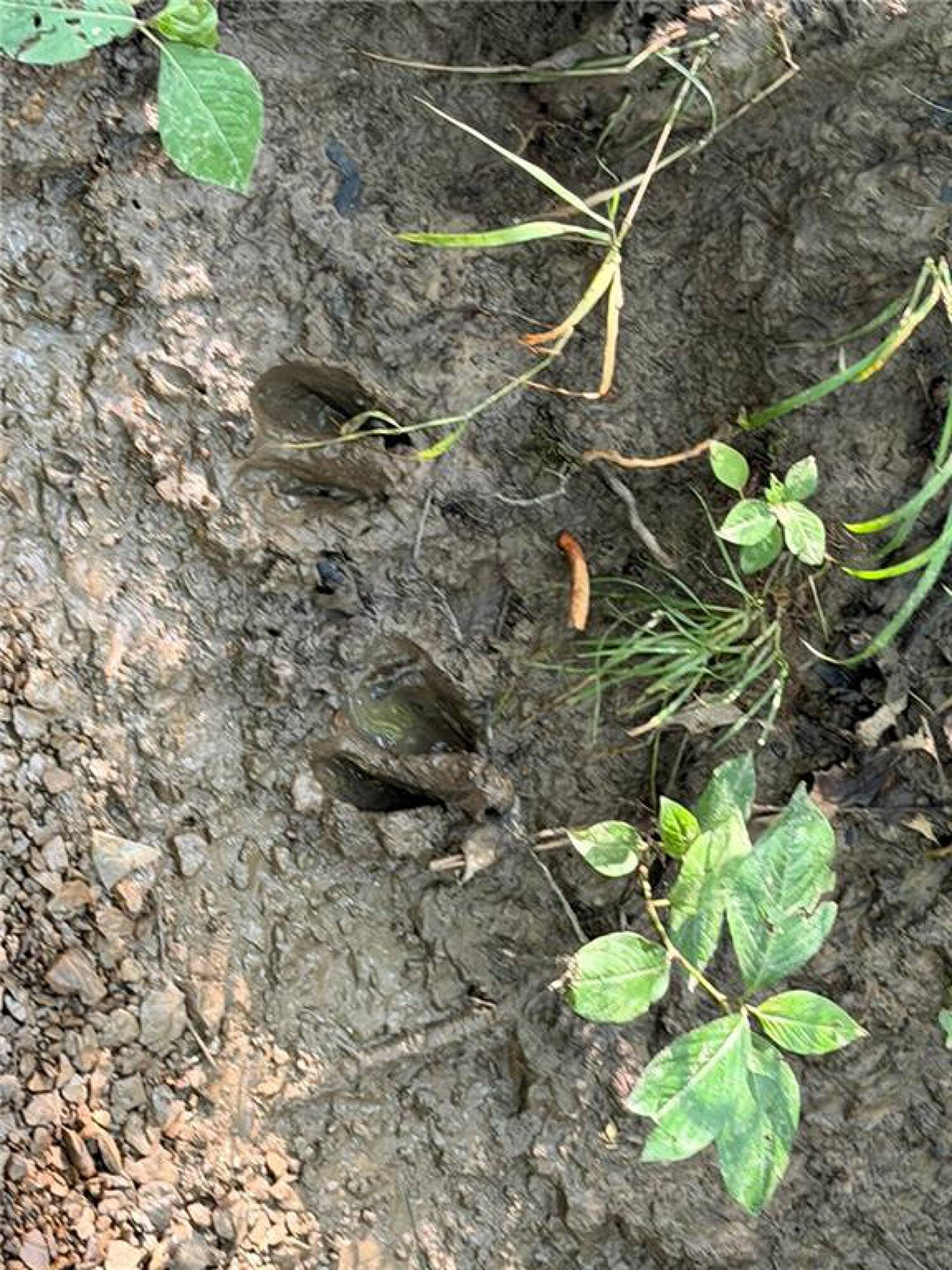
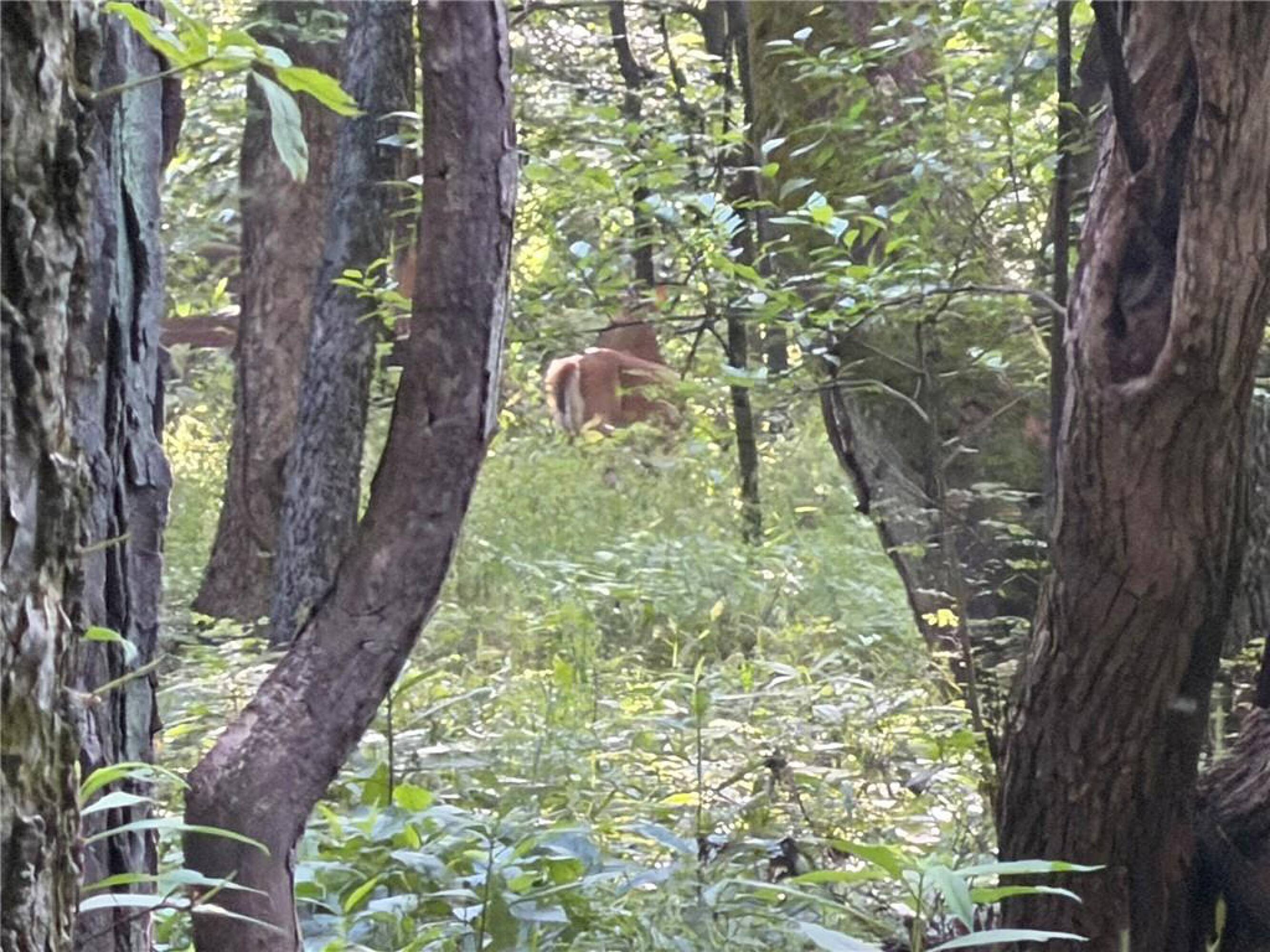
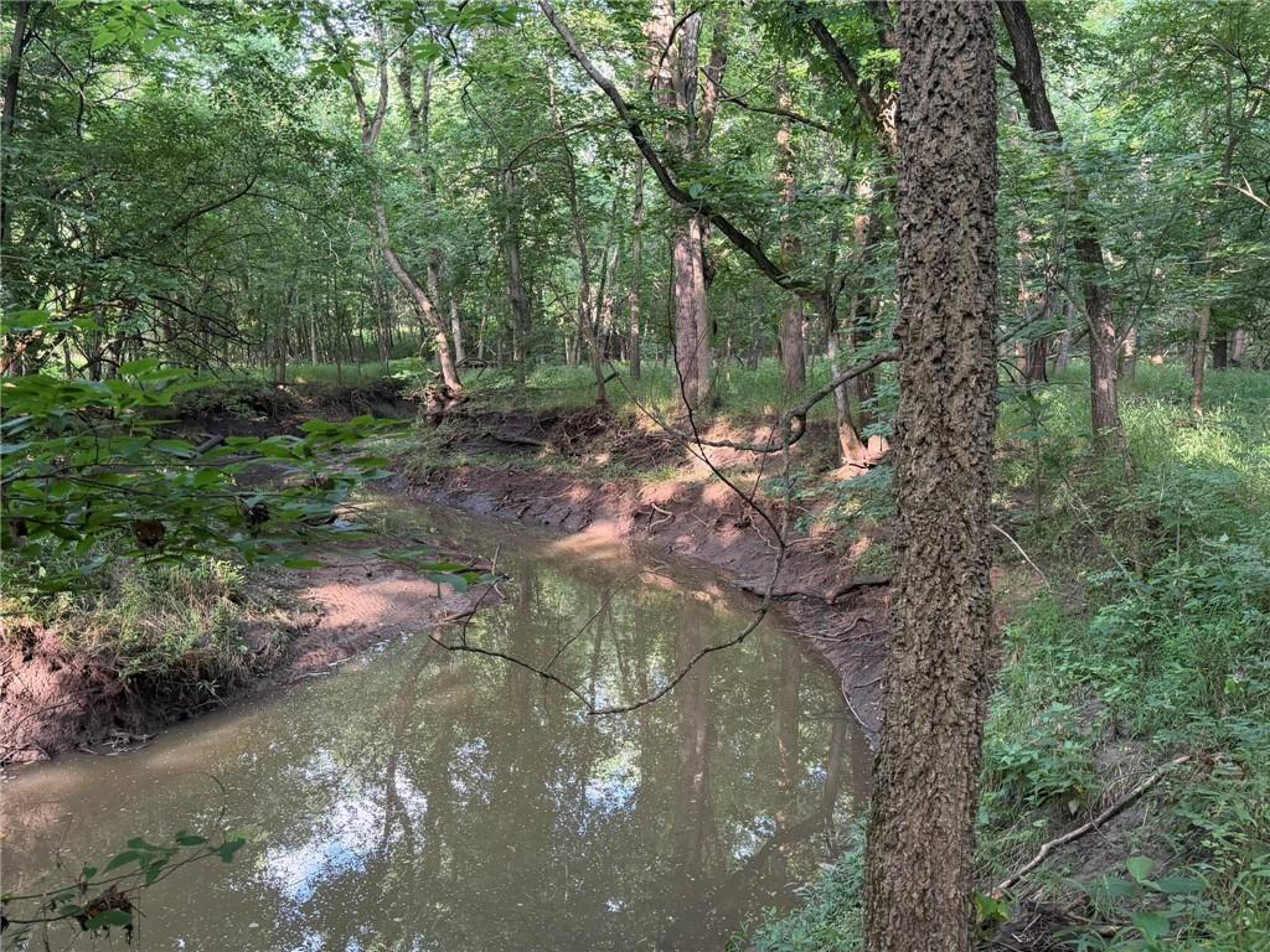
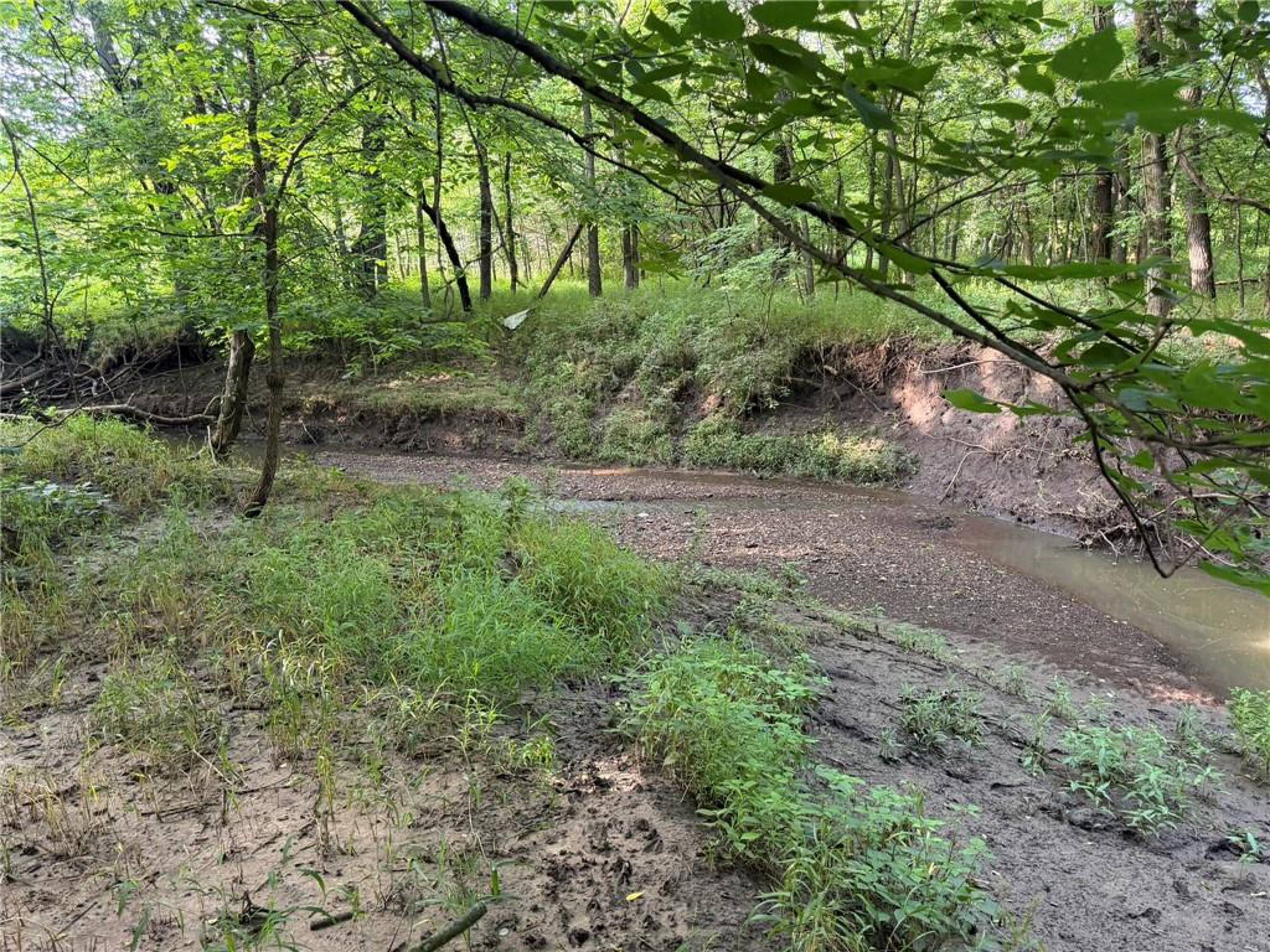
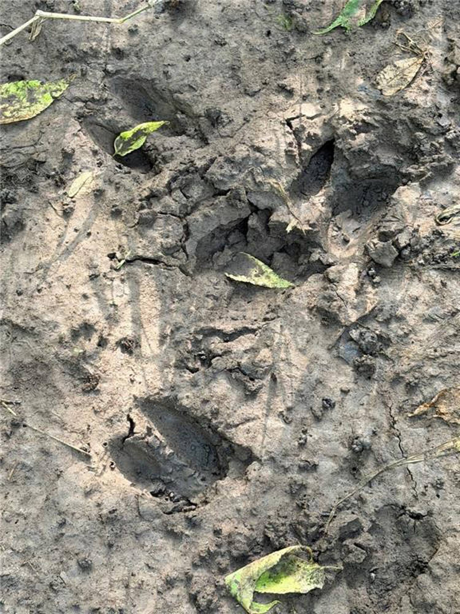
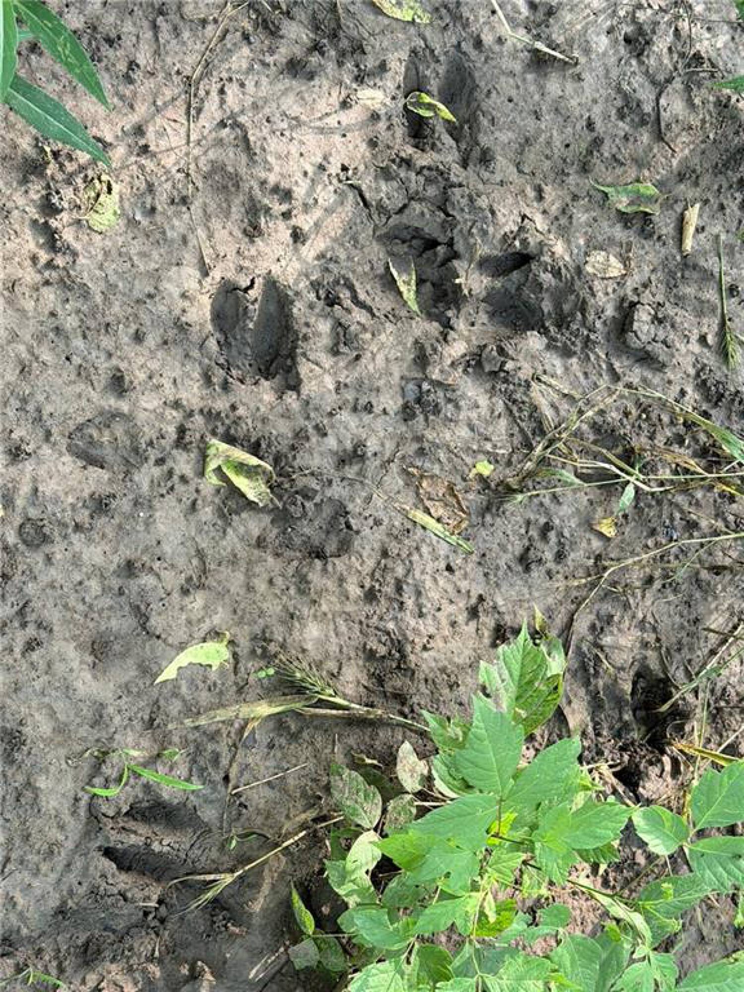
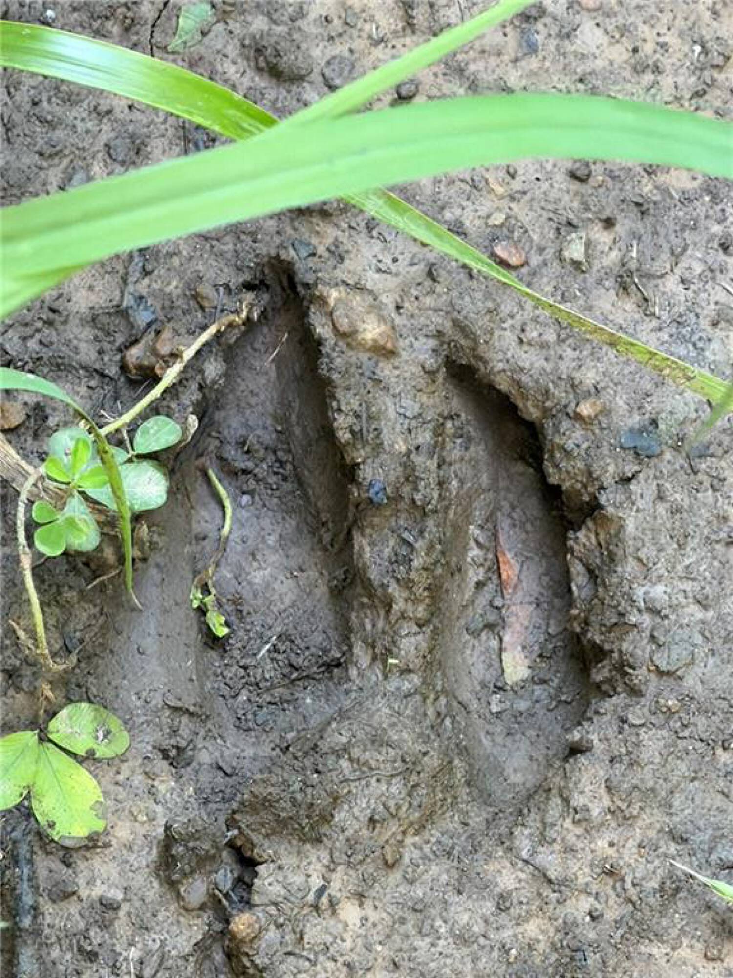
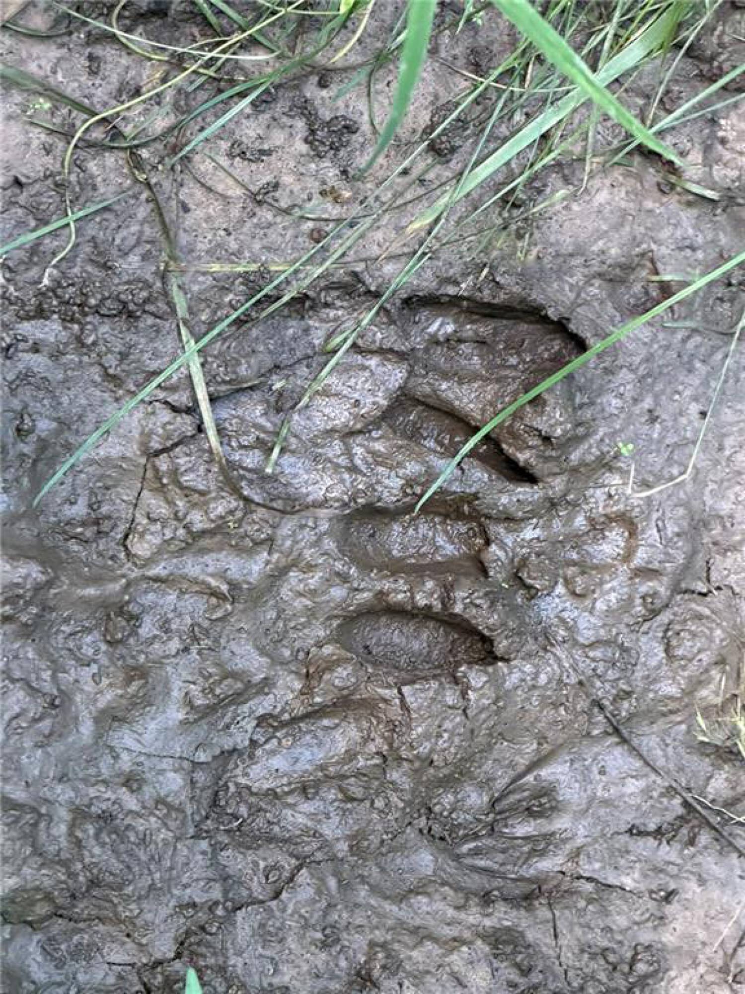
- Year‑round creek provides a natural travel corridor and reliable water source for wildlife
- Existing pond adds recreational value and supports future water‑feature potential
- Tillable acreage can be used for income‑producing row‑crops and food plots
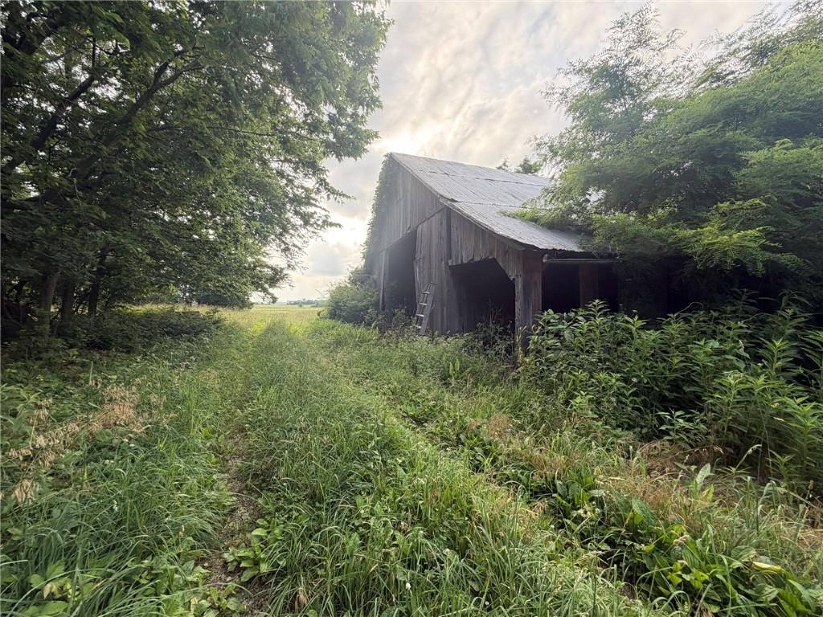
- Includes rustic old barn for a working farm, hobby operation, or recreational retreat
Overview
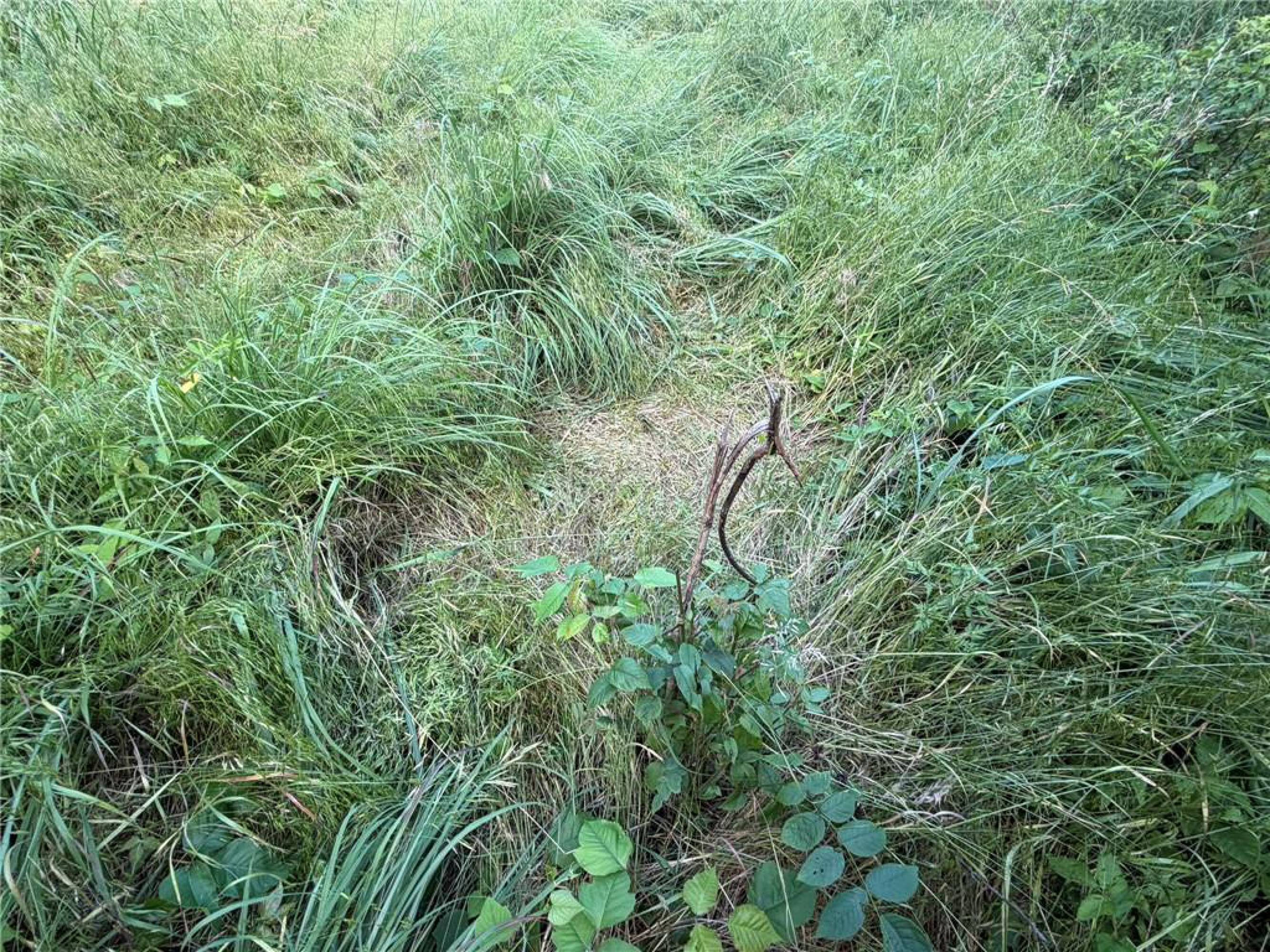
The land is conveniently located between Adrian and Clinton, with Montrose minutes away, offering rural privacy with relatively easy access to town. Several additional areas on the tract could support future water features, depending on how the property is developed. The meadow and timber areas are arranged so the elevated homesite can enjoy the view without disrupting the areas used by deer and turkey.
For buyers looking for a tract that supports both land use and outdoor recreation, the combination of roughly half timber and half tillable ground offers flexibility for food plots, livestock, or row-crop production alongside hunting. The presence of year-round water, existing pond, and a barn further supports a hobby farm or farmstead concept, while preserving a substantial portion of the property for wildlife habitat.
Current Use by Public Records
Map
- City
- Montrose
- County
- Henry
- State
- Missouri
- Longitude
- -94.055443
- Latitude
- 38.250466