Mountain Recreation

For Sale
$188,500
146 Pioneer Trail Lane, Cascade, MT 59421
LAND - Cascade, MT
Property SizeContact for details
Lot Size16.25 Acres
Days on Market142
Property Features for 146 Pioneer Trail Lane
General Information
Property type
Land
Property subtype
Other
Zoning description
Call Listing Agent for Details
Lot features
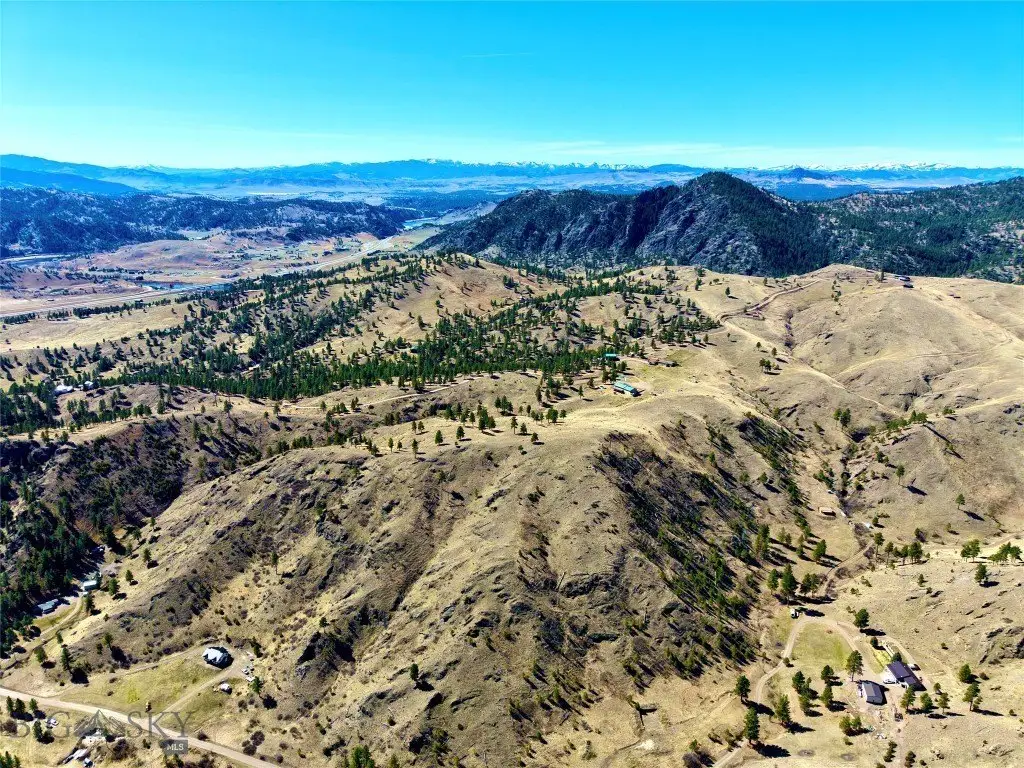
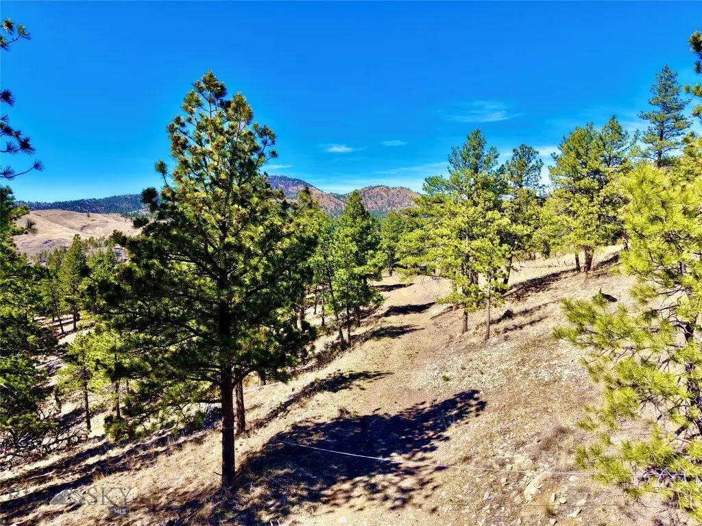
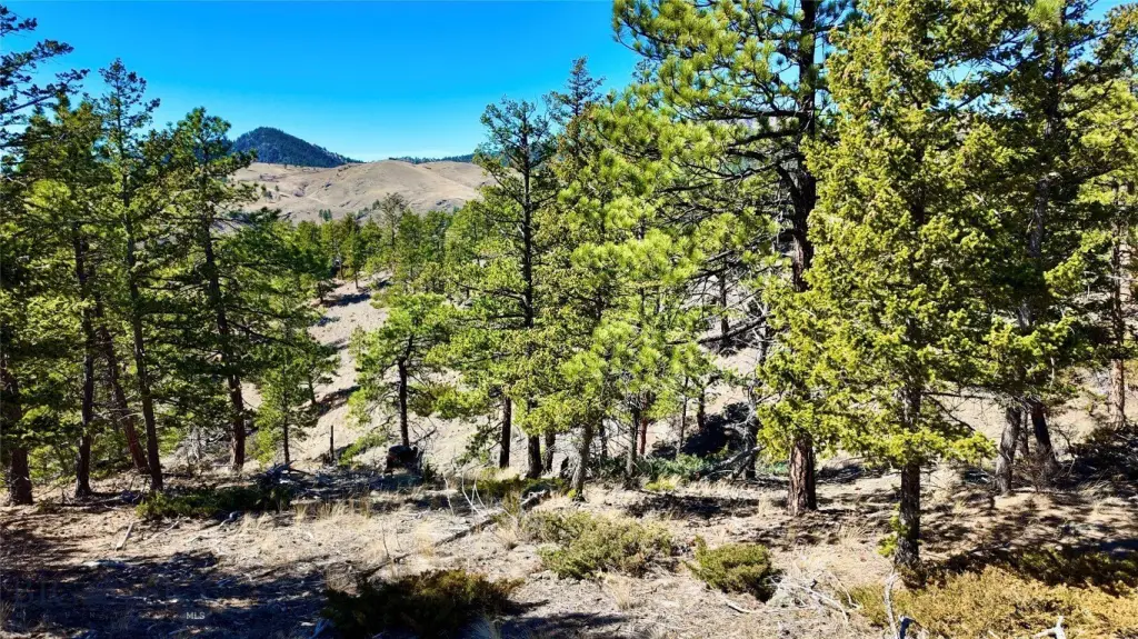
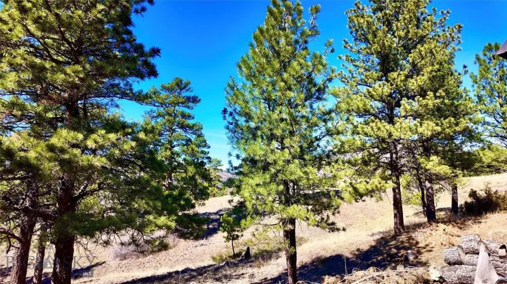
Rolling Slope
View
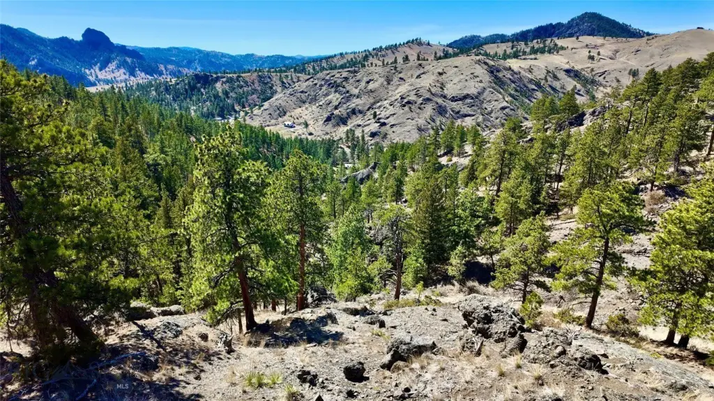
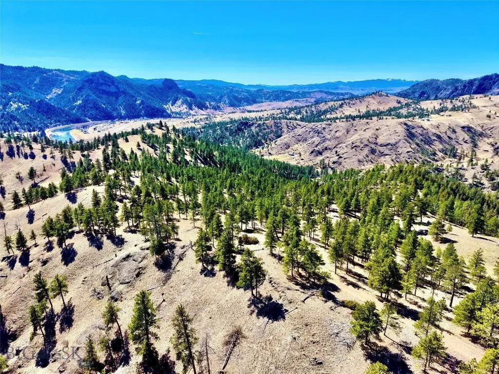
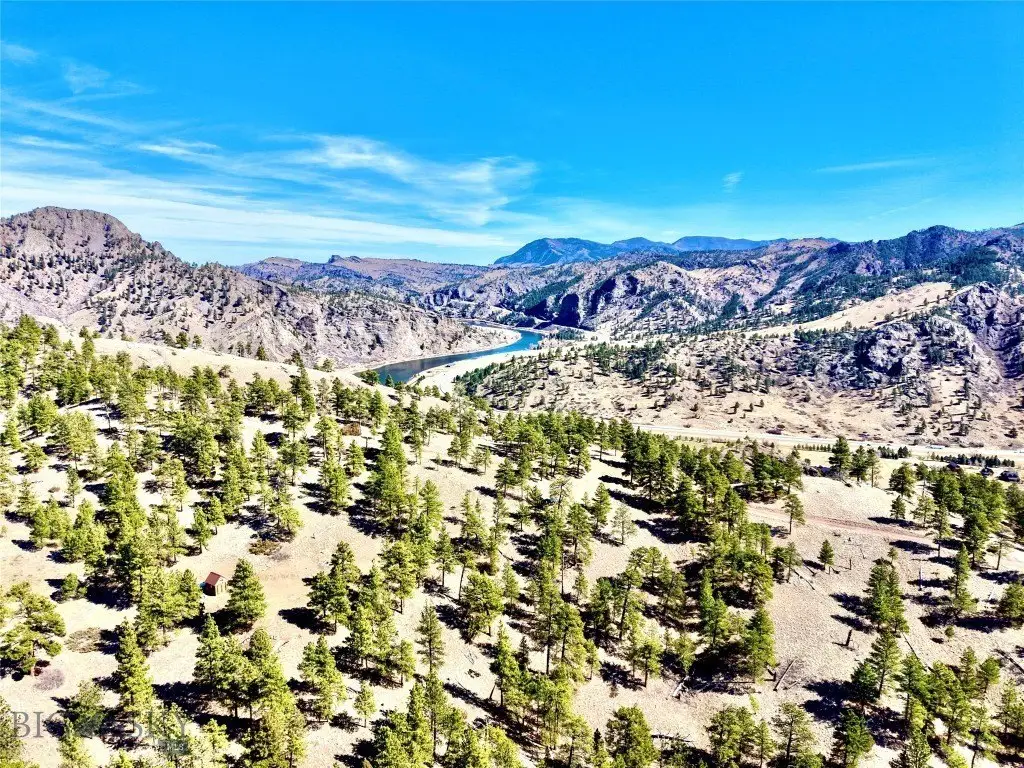
Mountains, River
Directions
CLA
Subdivision
12M - Other Montana Counties
Standard status
Active
APN
0003643600
Lot size
16.25 Acres
Taxes and HOA fees
Tax Year
2026
Tax Description
S09, T16 N, R02 W, C.O.S. 93, LOT A-6 S2SE & SEC 16 N2NE
Tax Annual Amount
470
Legal Description
S09, T16 N, R02 W, C.O.S. 93, LOT A-6 S2SE & SEC 16 N2NE
Utilities
Water source
Well
Listing Agency:
Corder & Associates
(406) 231-8515
Listed By:
Trampus Corder · License #BRO-38039
(406) 231-8515
Added: Apr 2
Changed: Aug 3
Last Checked: Aug 21 at 6:06AM
MLS# 409971
Copyright © 2026 Big Sky Country MLS. All rights reserved. All information provided by the listing agent/broker is deemed reliable but is not guaranteed and should be independently verified.
Investment Insights
Based on property information with market context.
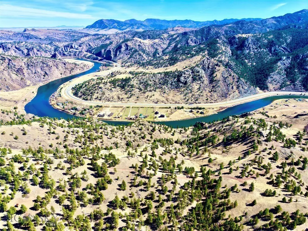
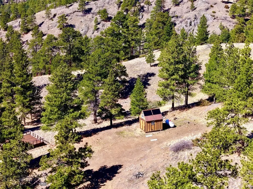
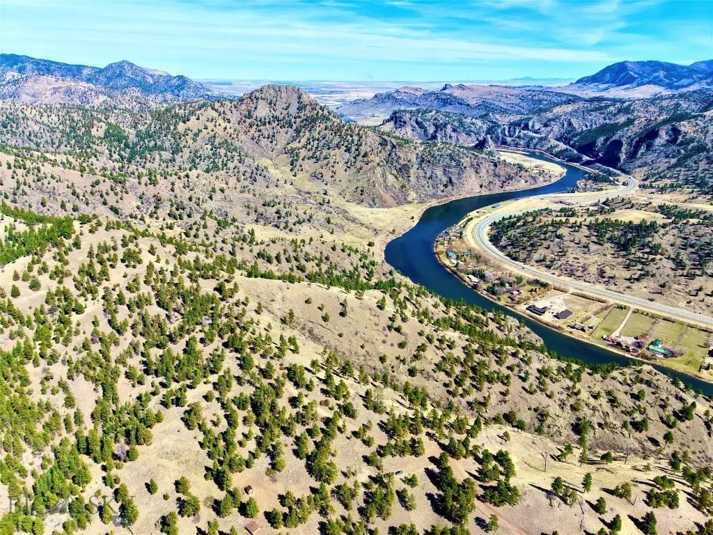
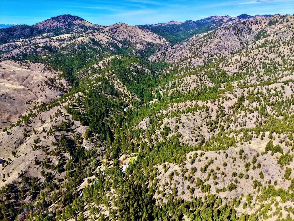
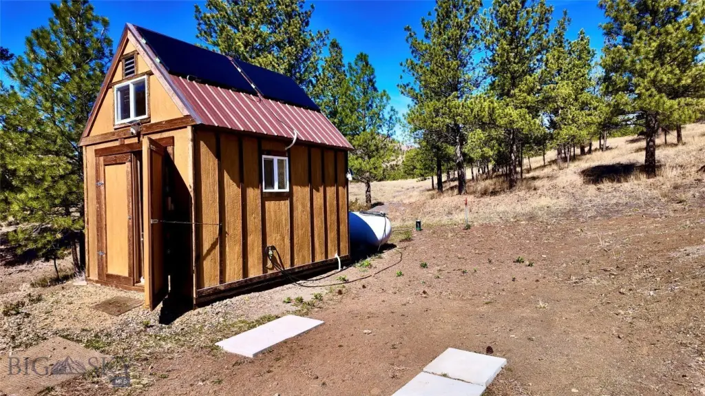
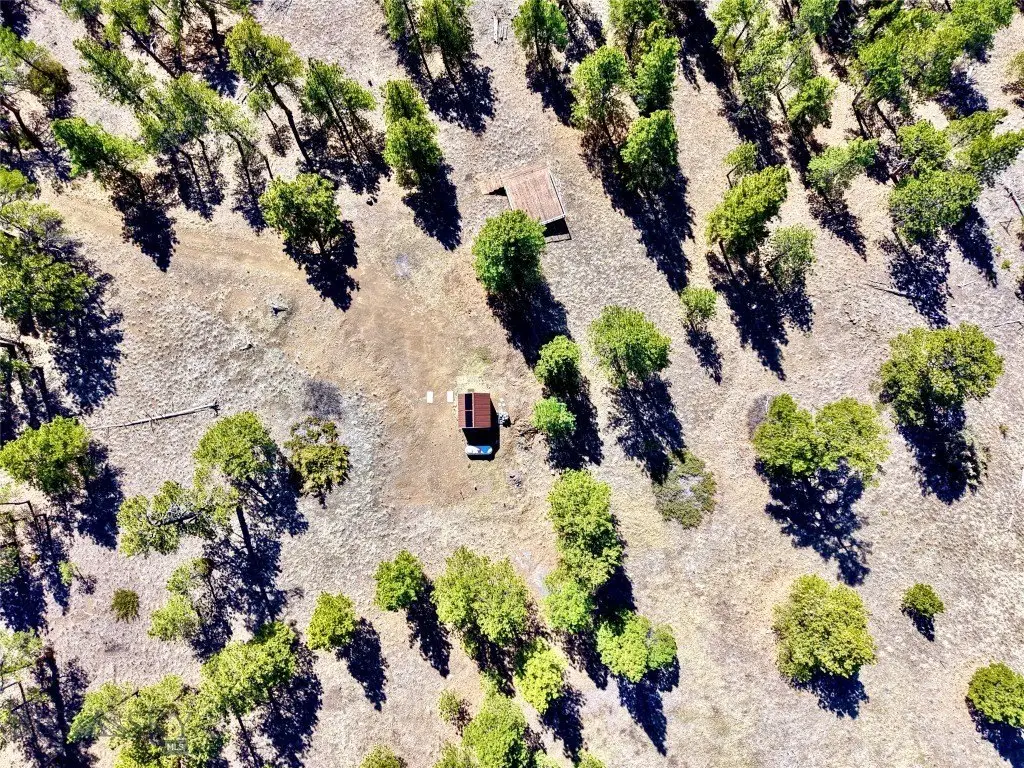
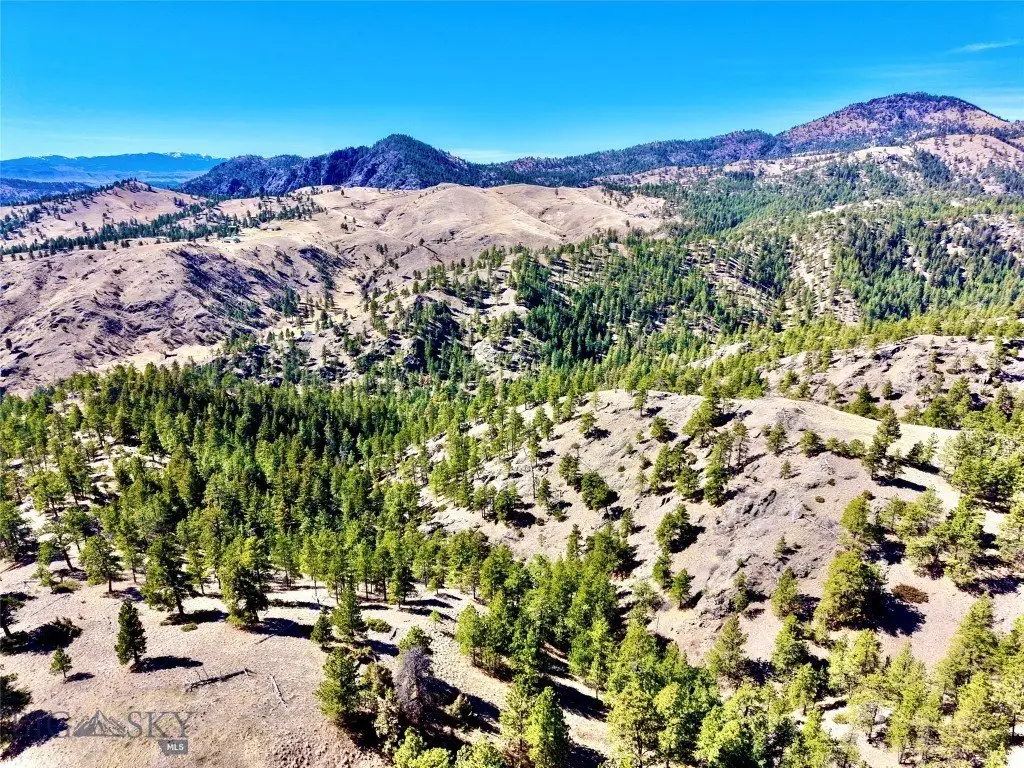
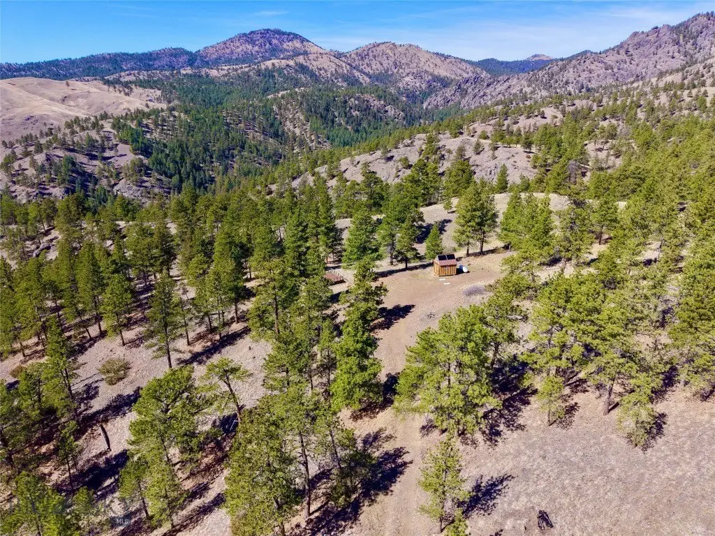
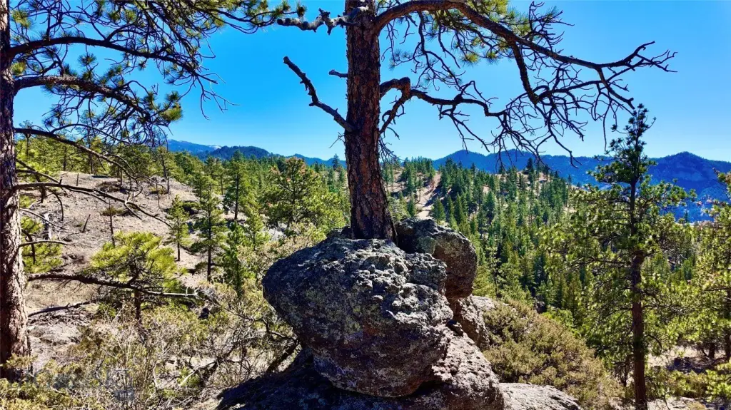
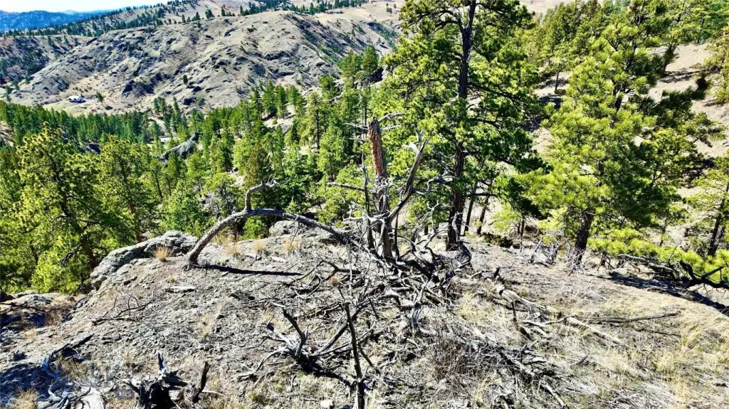
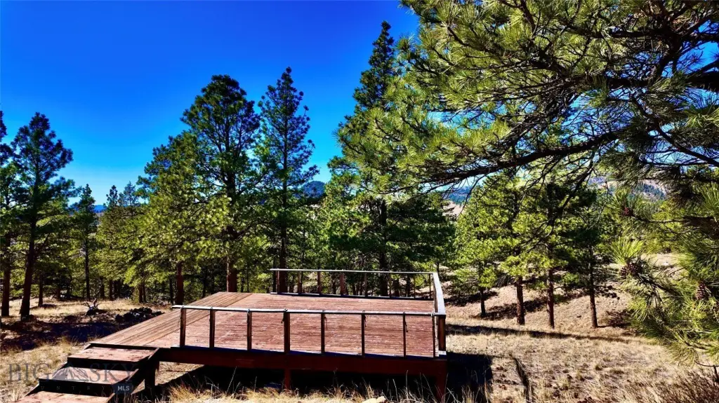
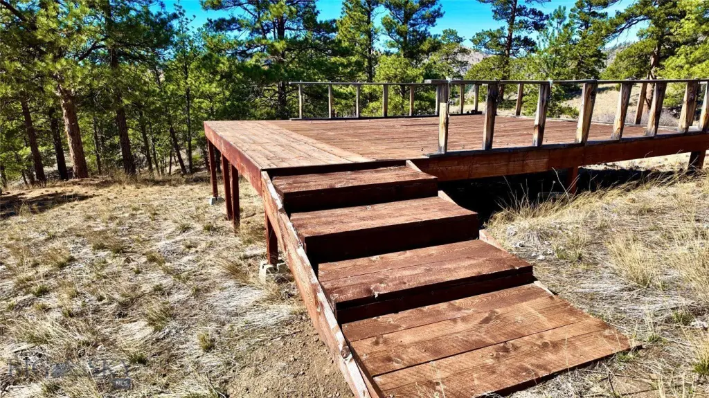
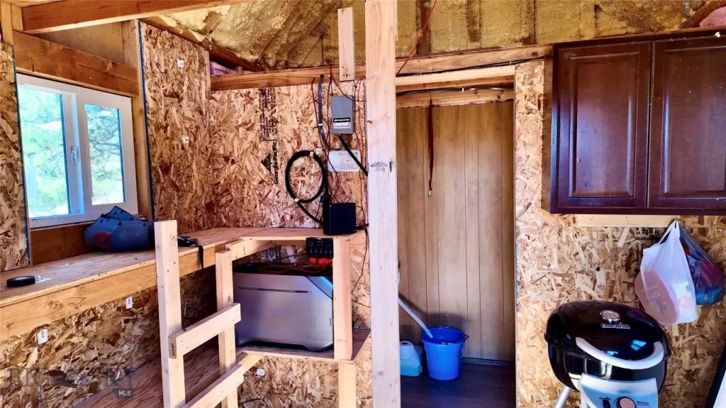
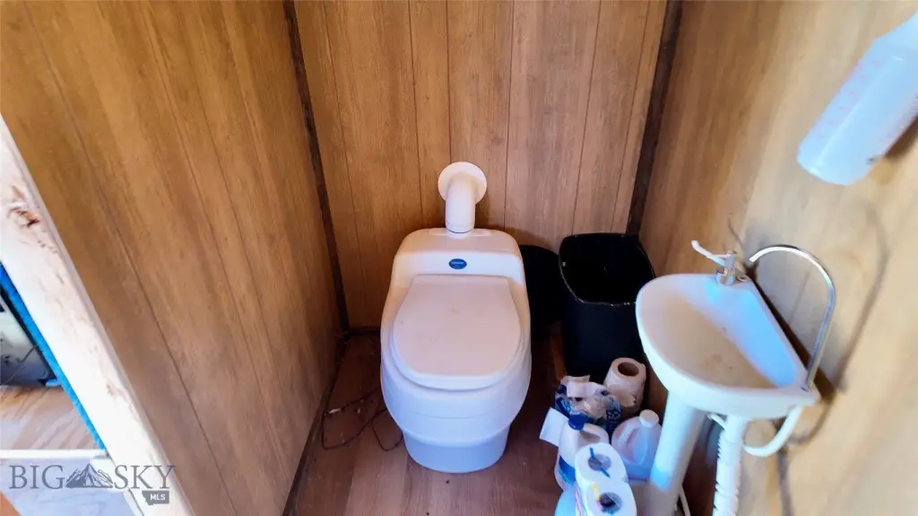
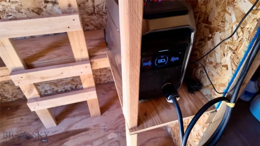
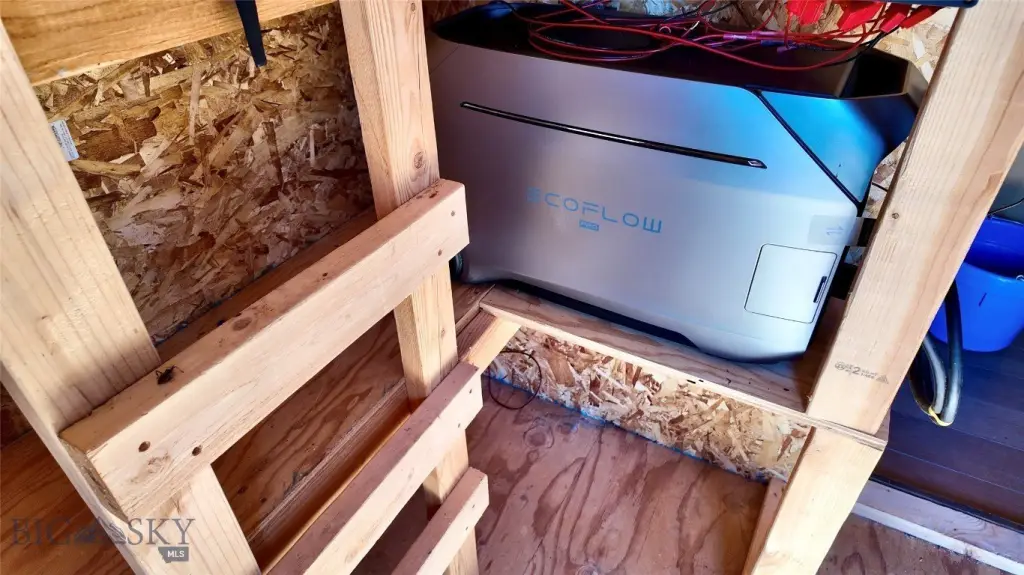
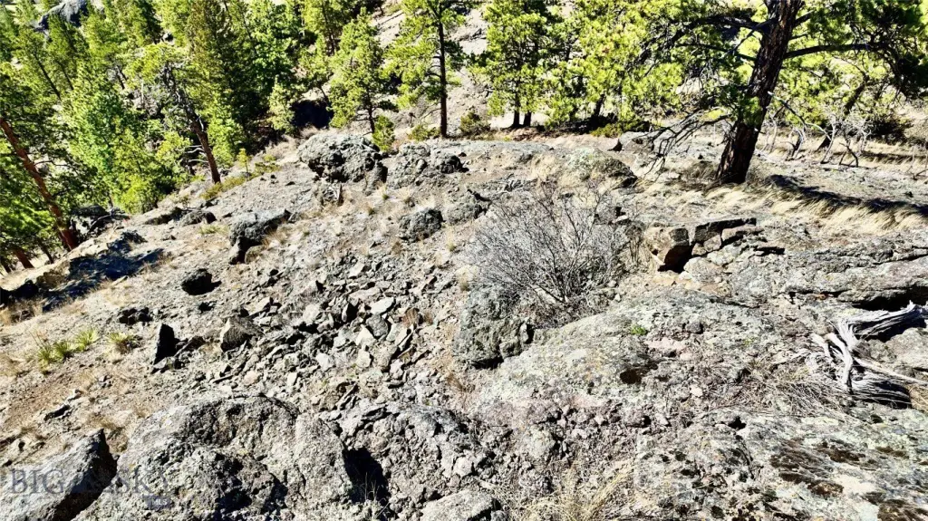
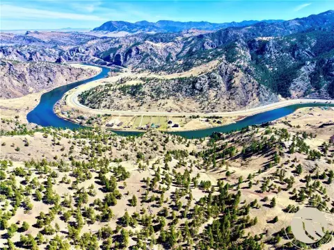
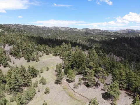
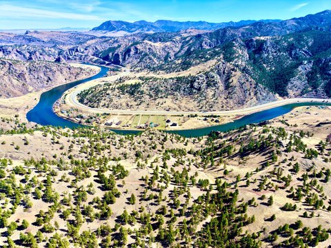
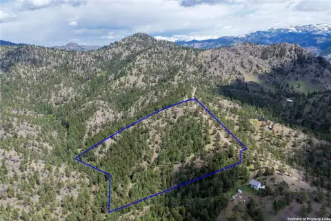
This 16.25-acre recreation property overlooks the Missouri River in central Montana, with rock formations, open meadows, mature pine trees, and seasonal wildflowers across the terrain. Improvements include a 12' x 16' cabin plumbed for propane, a solar powered generator, and an 18' x 24' deck configured for a wall tent or camper. Water is supplied by a well. There is no HOA, and the property has minimal covenants.
Fishing access is available at Eagle Island, Hardy Bridge, and other sites along Interstate 15, with Holter, Hauser, and Canyon Ferry Lakes also nearby. The surrounding public lands support hunting for deer, elk, antelope, bighorn sheep, mountain goat, mountain lion, and black bear, along with upland birds and waterfowl. The property is located at 146 Pioneer Trail Lane in Cascade, Montana.
Fishing access is available at Eagle Island, Hardy Bridge, and other sites along Interstate 15, with Holter, Hauser, and Canyon Ferry Lakes also nearby. The surrounding public lands support hunting for deer, elk, antelope, bighorn sheep, mountain goat, mountain lion, and black bear, along with upland birds and waterfowl. The property is located at 146 Pioneer Trail Lane in Cascade, Montana.
Key Highlights
- 16.25 acres overlooking the Missouri River
- 12' x 16' cabin with propane plumbing and a solar powered generator
- 18' x 24' deck sized for a wall tent or camper
Property Analytics
Property Profile
Current Use
Location Intelligence
Trade Area within ½ mile
1
Businesses Nearby
Explore this area
Business Placement
Demographics for 59421, MT
2,057
Population
1,439
Households
1.4
Avg Household Size
53
Median Age
30%
College-Educated
92%
High-School Grad
746.6 sq mi
ZIP Area
3
Density / Sq Mi
$71,688
Median Household Income
$45,045
Median Earnings
$1,014
Median Rent
$337,200
Median Home Value

Questions? Ask Rey
Realmo’s AI knows this listing — price, zoning, demand, history. Ask anything.






Frequently Asked Questions
What type of property is this?
Recreation land - Elevated acreage includes a cabin, deck, well, and access to fishing, hunting, and other outdoor recreation.
Where is this recreation land located?
The property is located at 146 Pioneer Trail Lane Cascade, MT.
What is the asking price?
The asking price for this property is $188,500.
What are key features of this property?
This property features: 16.25 acres overlooking the Missouri River; 12' x 16' cabin with propane plumbing and a solar powered generator; 18' x 24' deck sized for a wall tent or camper



