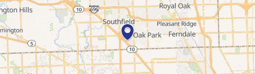
16983 10th Mile Rd Southfield, MI 48075-2919
Property profile & analytics
16983 10th Mile Rd, Southfield, MI 48075-2919
- Office buildings
- 1,208 SF
- 0.17 lot acres
Property ID
US43-1158458
The Realmo ID is a unique identifier assigned to every property, incorporating country codes and precise geo-coordinates for 300x300-foot land blocks. It enables standardized data collection and seamless integration of disparate sources such as ownership, tax, title data and physical specifications. By aggregating current and historical records, the Realmo ID powers advanced analytics and delivers deep, verifiable insights for real estate professionals.
Location Intelligence
Current Use by Public Records
- Crystal Ear Recording & Sound / Recording Studio
Property Details for 16983 10th Mile Rd
- Year built
- 1959
- Lot size
- 0.17 lot acres
- Zone code
- OS
- Property type
- Office buildings
- APN
- 76-24-25-136-005
- APU
- 762425136005
Sales History
| Date | Price | Buyer | Seller | Deed Type | Mortgage |
|---|---|---|---|---|---|
| Dec 21, 2023 | — | Sabah Toma | Sabah Toma | Intrafamily Transfer · related | — |
| Feb 26, 2015 | $40,000 | Sam Toma | Wtotw Homes LLC | Warranty Deed | — |
| Sep 12, 2013 | $35,000 | Wtotw Homes LLC | Meisner,andrew E | Grant Deed | — |
Value Estimations
based on Realmo’s proprietary methodology
-
AI approach
-
CAP approach
-
Comparable approach
-
Alternative Use
Get a detailed, property-specific estimation — fast and free
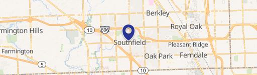
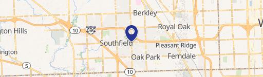
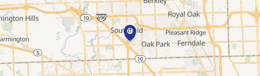
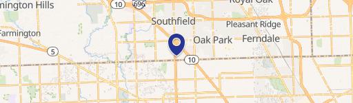
Location Insight
- Map
- Local Demand
- City
- Southfield
- County
- Oakland
- State
- Michigan
- Longitude
- -83.2127
- Latitude
- 42.4733
- CBSA code
- 19820
- CBSA name
- DETROIT-WARREN-LIVONIA, MI METROPOLITAN STATISTICAL AREA
Property Tax & Assessments
Tax date
Tax Amount
Assessed Land Value
Assessed Improvement Value
Total Assessed Value
Applied Tax Rate
Land Market Value
Improvement Market Value
Total Market Value
2022
$3,023
$10,610
$31,390
$42,000
-
$21,220
$62,780
$84,000