Commercial Land For
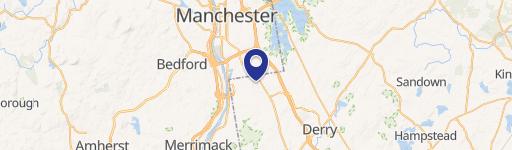
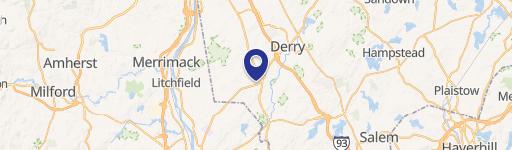
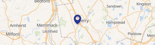
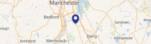
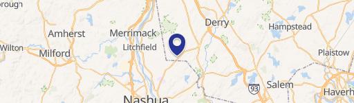
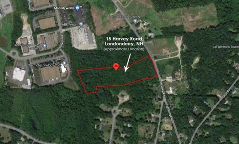
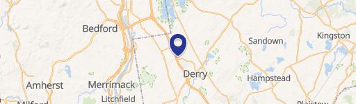
184 Mammoth Rd Map 6 Lot 72C Unit 2A Unit 1 Map 6 Lot 72C Londonderry, NH 03053
184 Mammoth Rd Map 6 Lot 72C Unit 2A Unit 1 Map 6 Lot 72C, Londonderry, NH, 03053
$602,000
For Sale
$602,000
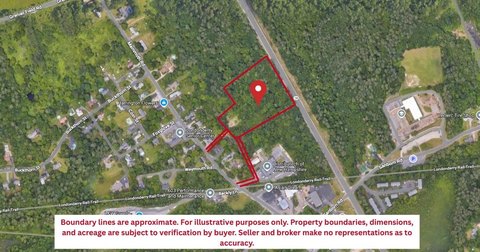
Commercial land available for sale.
Lot Size1.21 Acres
Days on Market231
Property Features for 184 Mammoth Rd Map 6 Lot 72C Unit 2A Unit 1 Map 6 Lot 72C
General Information
- Standard status
- Active
- Lot size
- 1.21 Acres
- Property subtype
- Commercial
Building Details
- Year Built
- 1985
Listing Agency
BHHS Verani Londonderry
(603) 845-9972
Listed by
Scott Reiff · License #052994
(603) 845-9972
Source
Elliman
Added: Nov 28, 2025 Checked: Jul 17 at 3:50 am
Displayed information is deemed reliable but is not guaranteed and should be independently verified. All listing content including descriptions, pricing, images are the copyrighted material of BHHS Verani Londonderry
Investment Insights
Based on property information with market context.
Commercial land is available for sale. The property is located at 184 Mammoth Rd Map 6, Lot 72C, Unit 2A (Unit 1), Map 6, Lot 72C in Londonderry, NH 03053.
Key Highlights
- Year Built: 1985
Property Analytics
Location Intelligence
Current Use by Public Records
Commercial land
Similar For Sale Nearby


FAQs
What type of property is this?
Commercial land - Commercial land available for sale.
Where is this commercial land located?
The property is located at 184 Mammoth Rd Map 6 Lot 72C Unit 2A Unit 1 Map 6 Lot 72C Londonderry, NH.
What is the asking price?
The asking price for this property is $602,000.
What are key features of this property?
This property features: Year Built: 1985