1111 Woodland Valley rd, St Johns, AZ 85936
- Added:
- Jul 6, 2025
- Days on Market:
- 368
- Last Refresh:
- Jul 8 at 9:06 am
Property Features for 1111 Woodland Valley rd
General Information
- Property type
- Land
- Property subtype
- Other
- Standard status
- Active
- Lot size
- 42.75 Acres
Listing agent John Conger License #BR547808000 (855) 384-5263
Listing office National Land Realty, Central AZ 16446 E. Tombstone Avenue, Fountain Hills, AZ (855) 384-5263
Listing date Jul 6, 2025
Copyright © 2026 My State MLS. All rights reserved. All information provided by the listing agent/broker is deemed reliable but is not guaranteed and should be independently verified.
HighLights
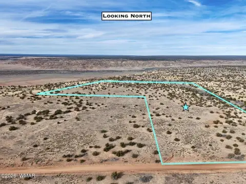
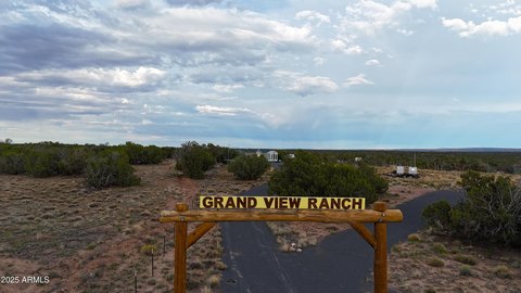
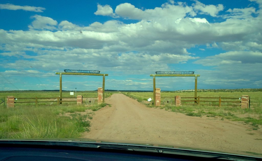
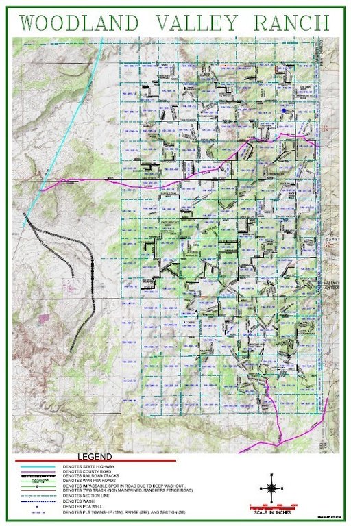
- 42.75‑acre property in Woodland Valley Ranch subdivision northeast of St. Johns
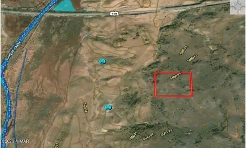
- Access via State Route 191 with about 15 to 20 minutes drive time from St. Johns
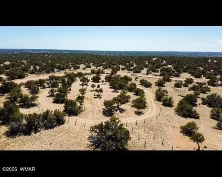
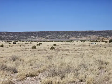
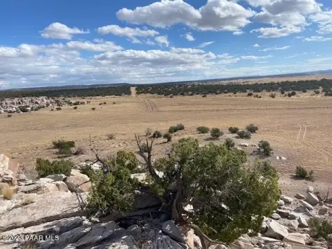
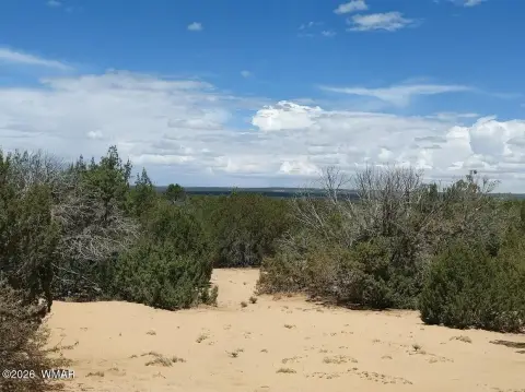
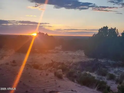
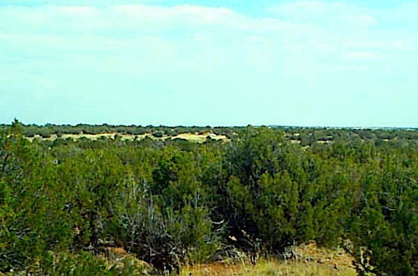
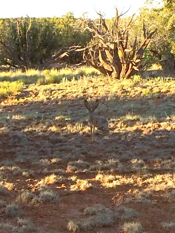
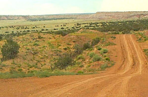
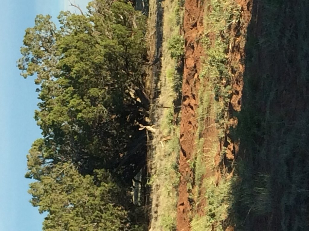
- Flat ground throughout backing up to State Trust Land, with abundant mature juniper and pinon trees
- Zoned for residential, recreational, and agricultural use allowing livestock, plus RV and camping
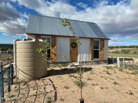
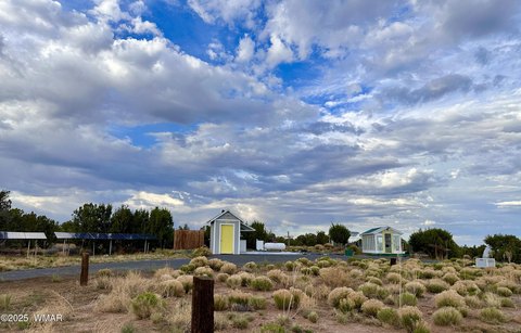
- Water access: on‑site 10,000‑gallon community well available 24/7 with a 500‑gallon weekly limit; private wells approved for domestic and irrigation
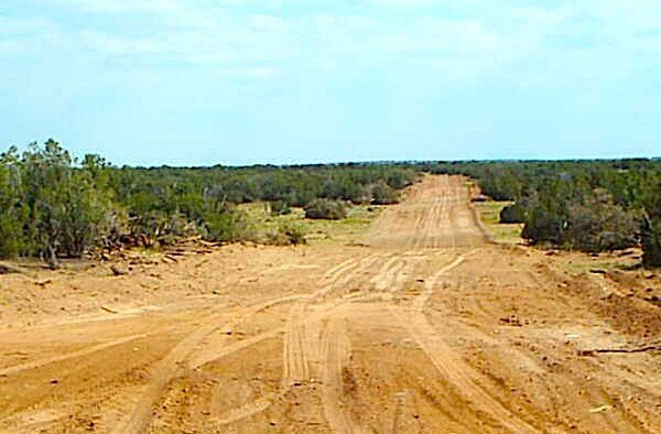
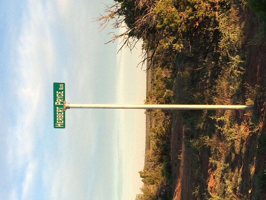
- Private year‑round interior roads; surrounded by BLM and Arizona State Trust lands and within driving distance of White Mountains/National Forest
Overview
The parcel is accessed via State Route 191. The property is located northeast of St. John’s, with an approximate drive time of 15 to 20 minutes. Water access is supported by a 10,000-gallon community well adjacent to the property, available 24/7 to Woodland Valley Ranch owners, with a 500-gallon weekly limit for use. The listing also notes that private water wells in the area produce abundant yields and are approved for both domestic and irrigation use.
This land is zoned to support residential, recreational, and agricultural uses, including livestock along with RV and camping use. For buyers looking to build a primary residence, maintain an agricultural setup, or use the property as a year-round retreat, the combination of flat terrain, private-ranch road maintenance, and on-site community well access is designed to support sustained use. The offering is also described as being surrounded by large tracts of BLM and Arizona State Trust lands.
Current Use by Public Records
Map
- City
- St Johns
- County
- Apache
- State
- Arizona
- Longitude
- -109.081045
- Latitude
- 34.740555