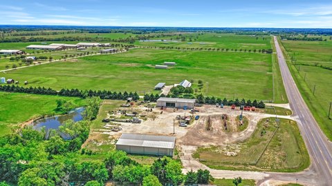
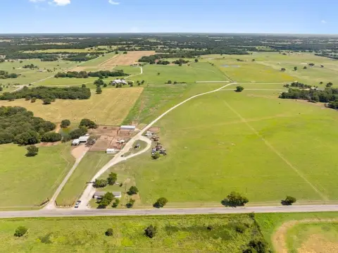
Commercial Land with Highway
11 Acres State Hwy 56 Whitesboro, TX 76273

11 Acres State Hwy 56, Whitesboro, TX, 76273
$850,000
For Sale
$850,000
LAND - Whitesboro, TX
Lot Size11.00 Acres
Days on Market165
Property Features for 11 Acres State Hwy 56
General Information
- Property type
- Land
- Property subtype
- Other
- Standard status
- Active
- APN
- 448279
- Lot size
- 11.00 Acres
Taxes and HOA fees
- Tax Description
- G-0237 CAMPBELL L W A-G0237, ACRES 11.00
- Tax Annual Amount
- 7
Listing Agency
Sonya Realty, LLC
(972) 948-9200
Dallas, TX
Listed by
Sonya Rafie · License #0330549
(972) 948-9200
Added: Feb 3 Checked: Jul 18 at 11:06 am
MLS# 20724723
Listing URL
Copyright © 2026 North Texas Real Estate Information Systems, Inc. All rights reserved. All information provided by the listing agent/broker is deemed reliable but is not guaranteed and should be independently verified.
Investment Insights
Based on property information with market context.
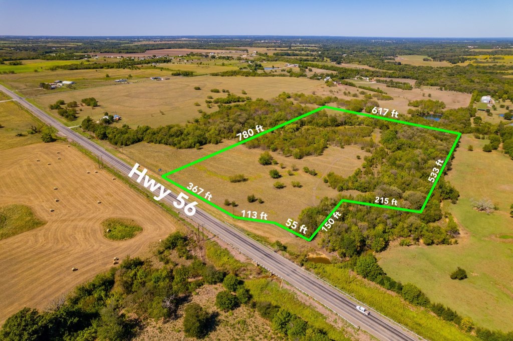
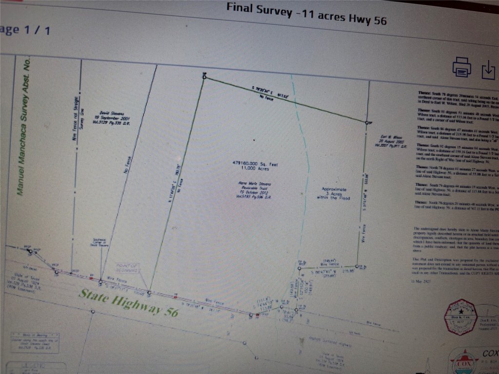
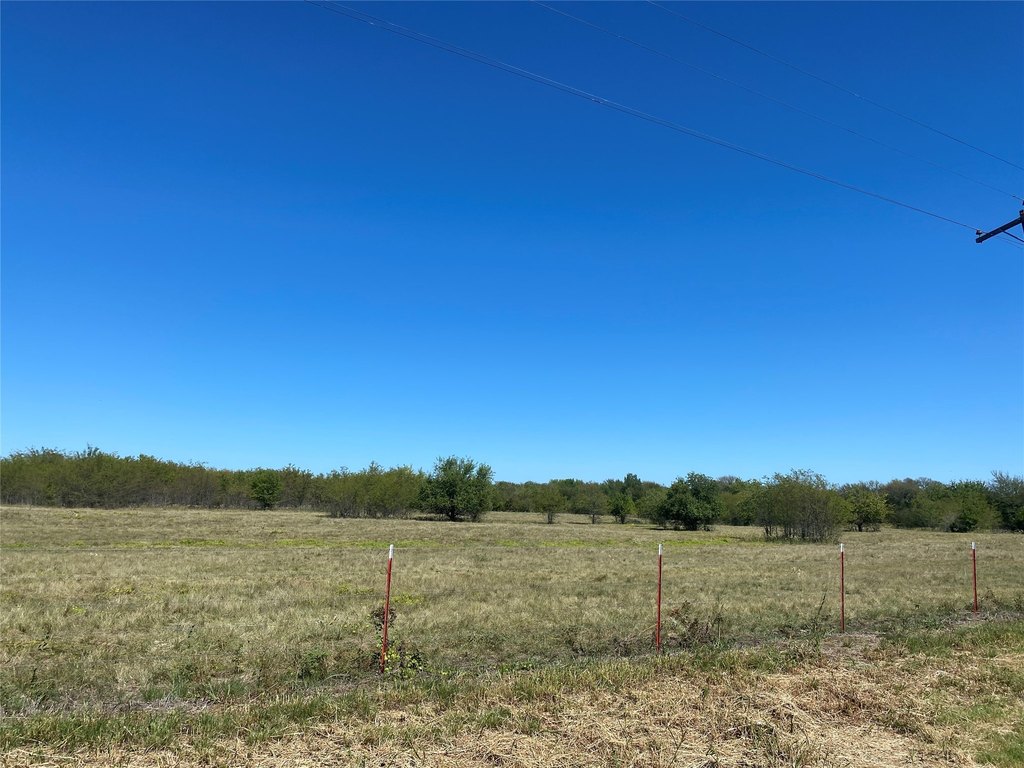
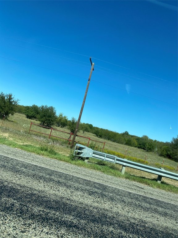
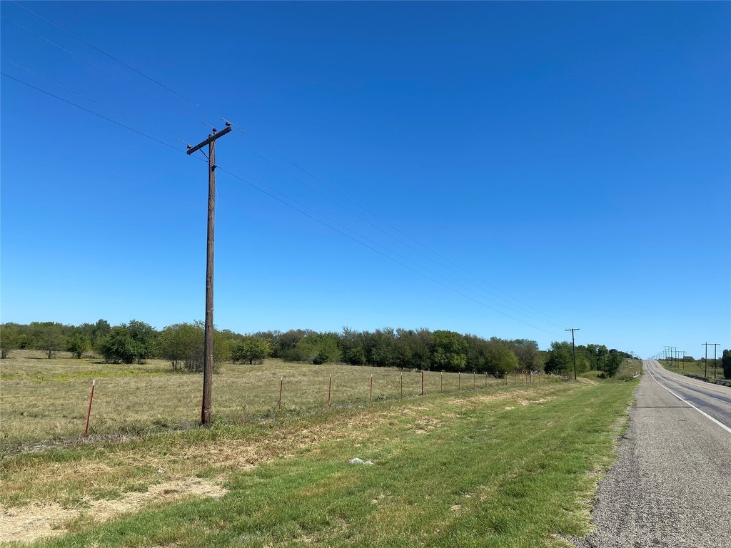
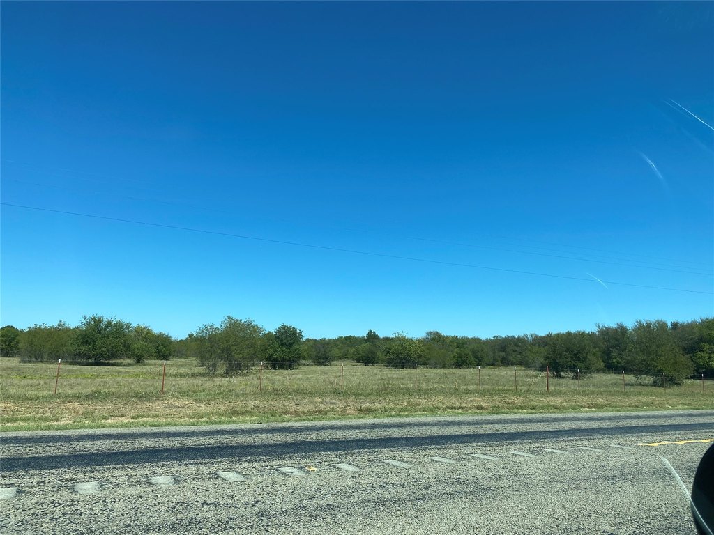
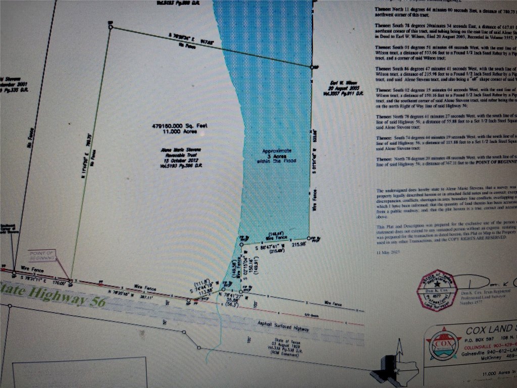
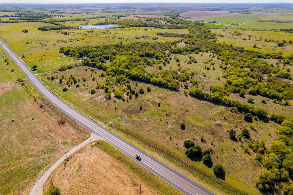
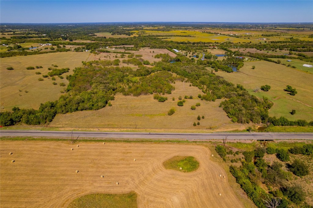
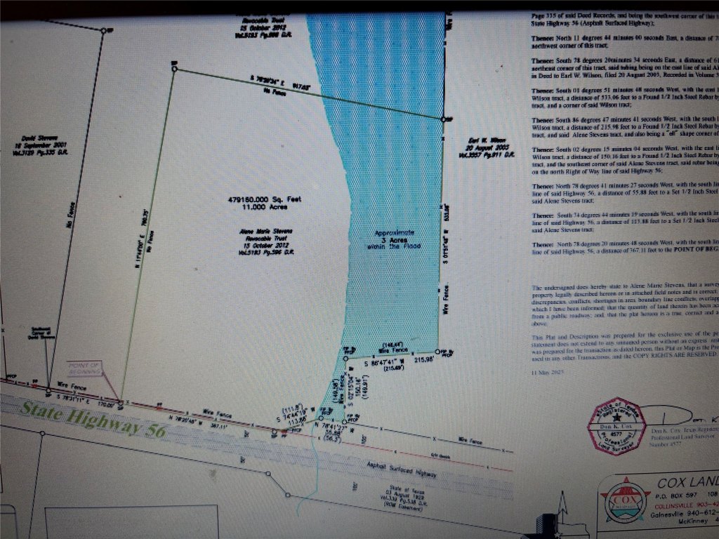
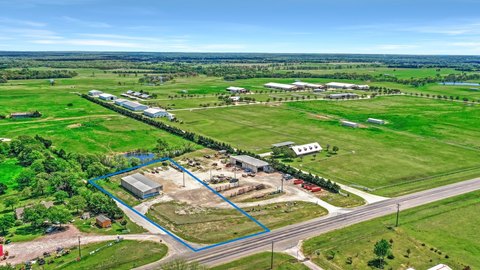
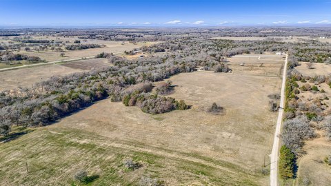
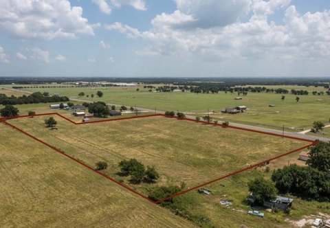
This sale presents an 11-acre commercial land tract in Whitesboro, TX, with significant highway frontage. The property includes a documented 3-acre flood area on the east side that runs from south to north, and buyers can review the survey provided on the Transaction Desk.
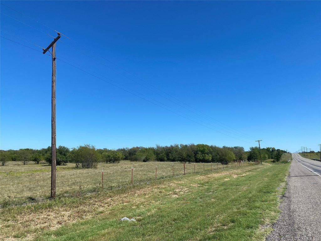
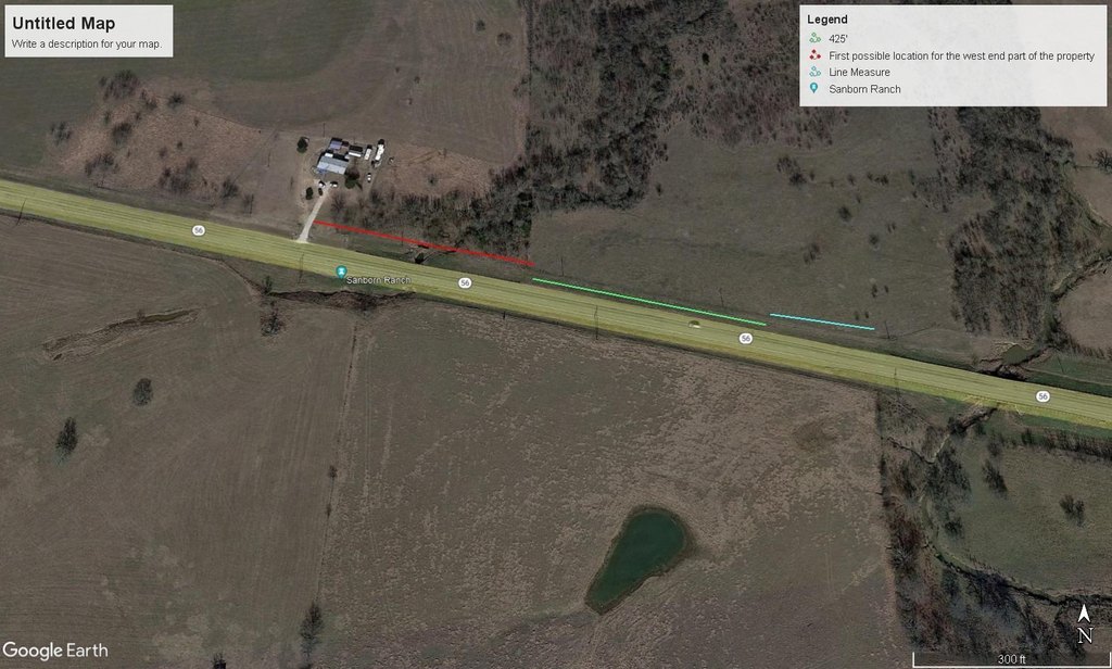
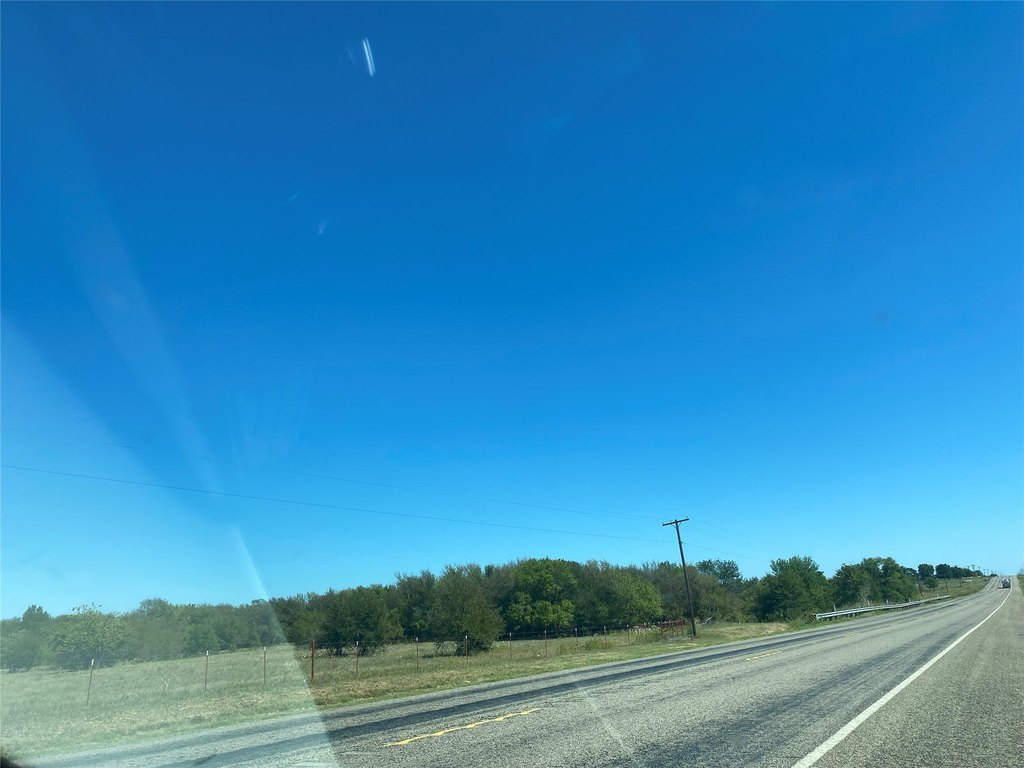
The site sits along State Hwy 56, with more than 535 feet of frontage. According to TXDOT mapping included in the materials, a right-of-way entry point is shown by the blue line on the map. The listing also notes the property is approximately a mile west of Collins Rd, identified as the future tollway.
With highway visibility and a defined access concept per TXDOT mapping, this parcel may suit commercial buyers evaluating future-oriented development along a major roadway. The presence of an east-side flood area is an important consideration for site planning, and interested parties should coordinate their concept and engineering approach using the survey and available right-of-way information.
Key Highlights
- 11‑acre property in Whitesboro, about a mile west of Collins Rd (Future Tollway)
- Over 535 ft of frontage on Hwy 56
- 3 acres of flood area on the east side, running south to north (see survey)
Property Analytics
Location Intelligence
Current Use by Public Records
Commercial land
Similar For Sale Nearby


FAQs
What type of property is this?
Commercial land - 11-acre development site offers 535+ feet of frontage on Hwy 56, with seller financing available.
Where is this commercial land located?
The property is located at 11 Acres State Hwy 56 Whitesboro, TX.
What is the asking price?
The asking price for this property is $850,000.
What are key features of this property?
This property features: 11‑acre property in Whitesboro, about a mile west of Collins Rd (Future Tollway); Over 535 ft of frontage on Hwy 56; 3 acres of flood area on the east side, running south to north (see survey)