Hunting Land with CRP
For Sale
$1,335,000
100 Blind Springs Road, American Falls, ID 83211
LOTS/LAND, American Falls, ID
Property SizeContact for details
Lot Size763.06 Acres
Days on Market184
Property Features for 100 Blind Springs Road
General Information
Property type
Land
Property subtype
Other
Elementary school
Hillcrest
Middle school
American Falls
High school
American Falls
Subdivision
American Falls
Standard status
Active
Lot size
763.06 Acres
Taxes and HOA fees
Tax Annual Amount
1083
Listing Agency:
Whitetail Properties Real Estate LLC
(406) 209-8935
Listed By:
David White
(208) 709-9237
Added: Apr 7
Changed: Sep 7
Last Checked: Oct 7 at 10:06PM
MLS# 582195
Copyright © 2026 Greater Pocatello Association of REALTORS®. All rights reserved. All information provided by the listing agent/broker is deemed reliable but is not guaranteed and should be independently verified.
Investment Insights
Based on property information with market context.
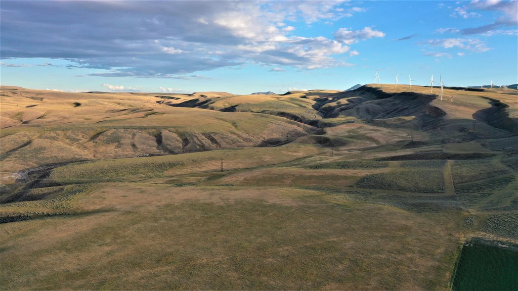
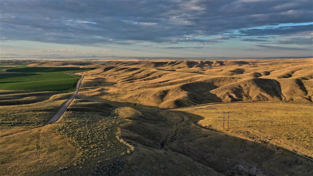
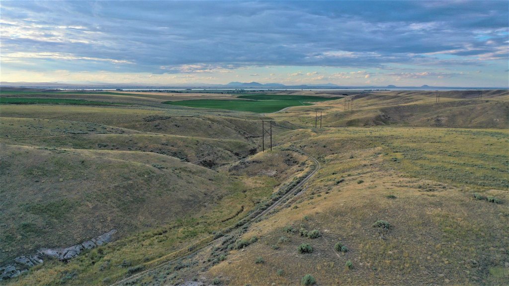
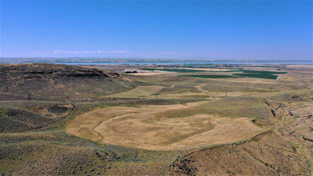
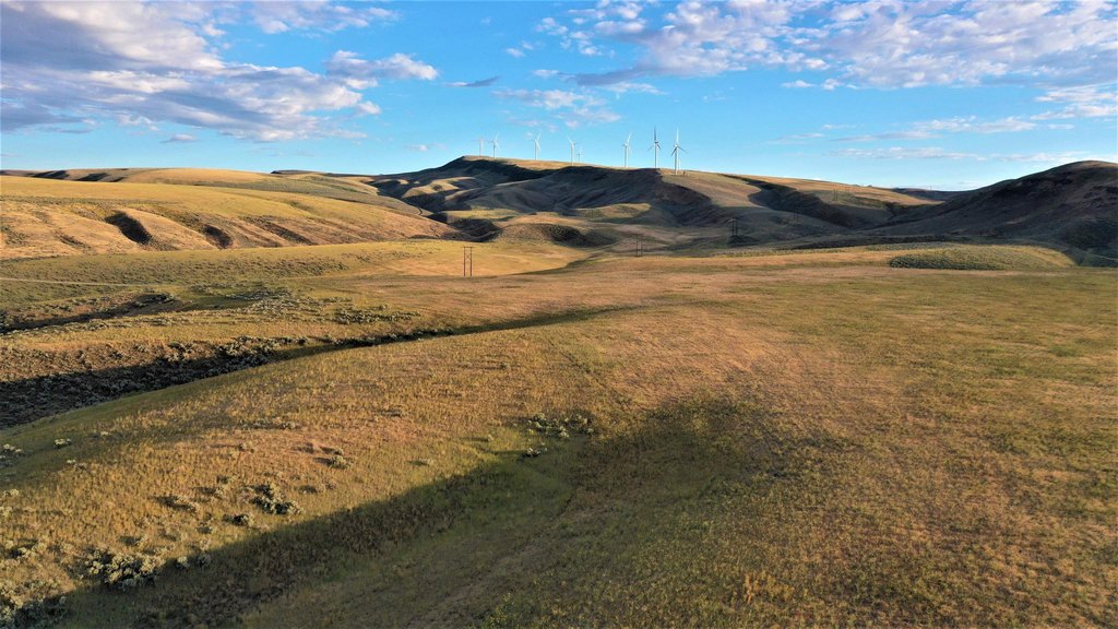
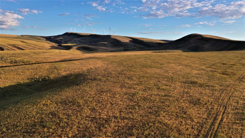
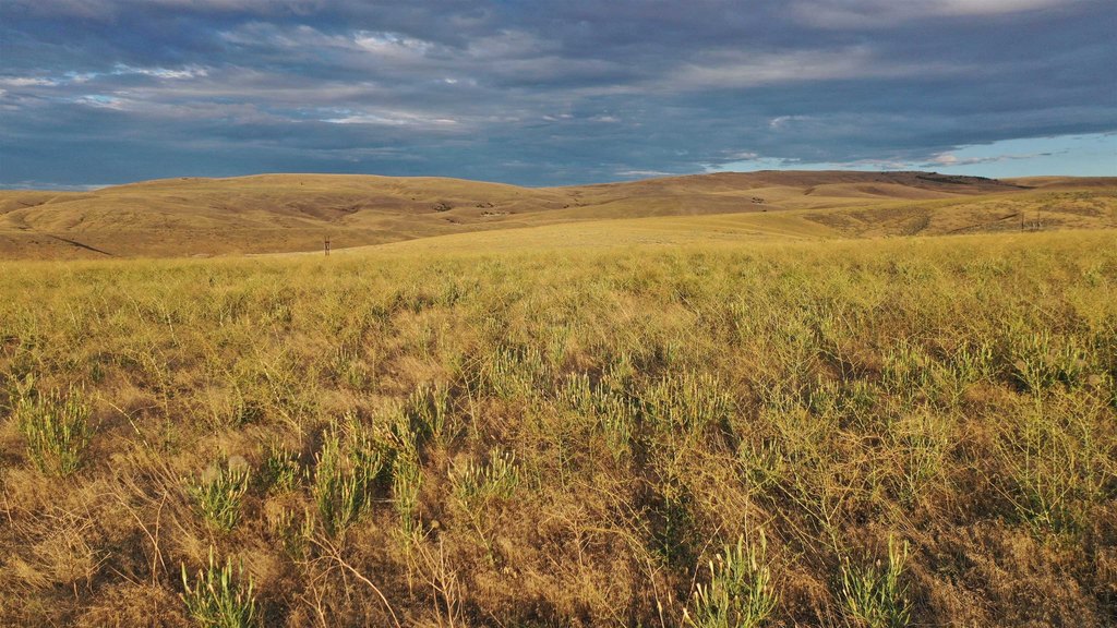
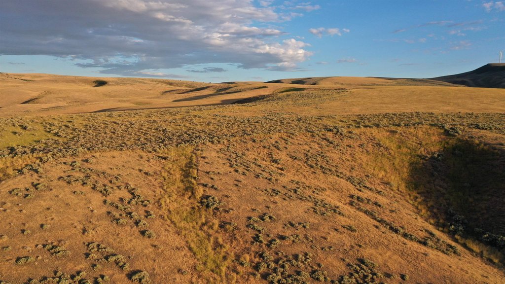
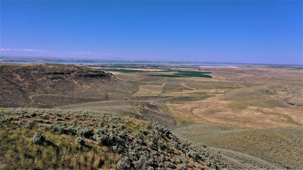
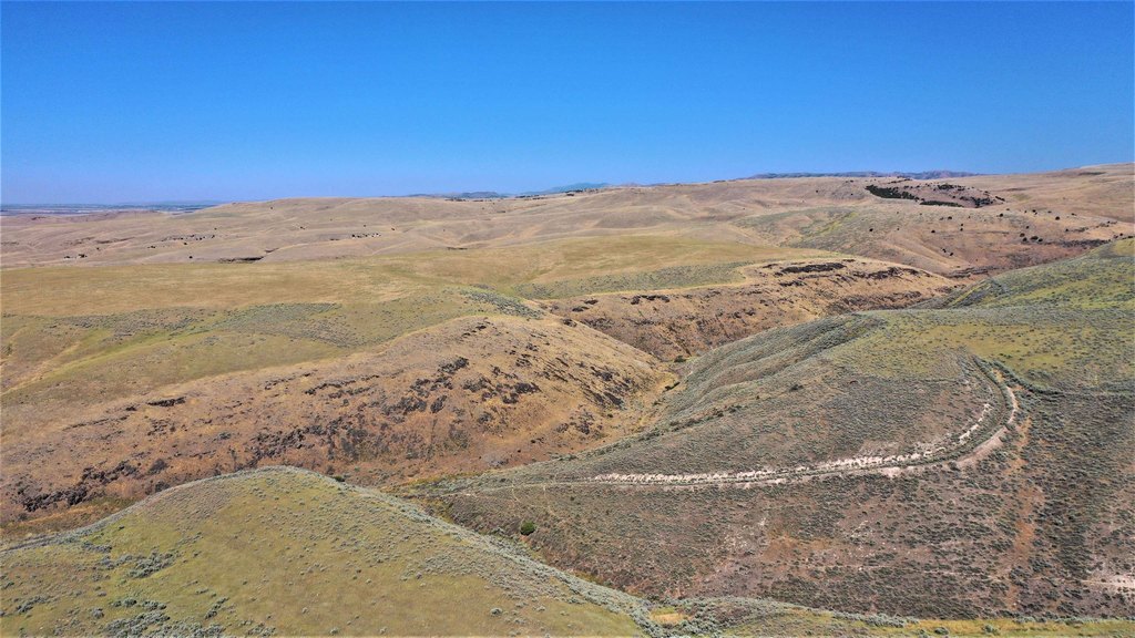
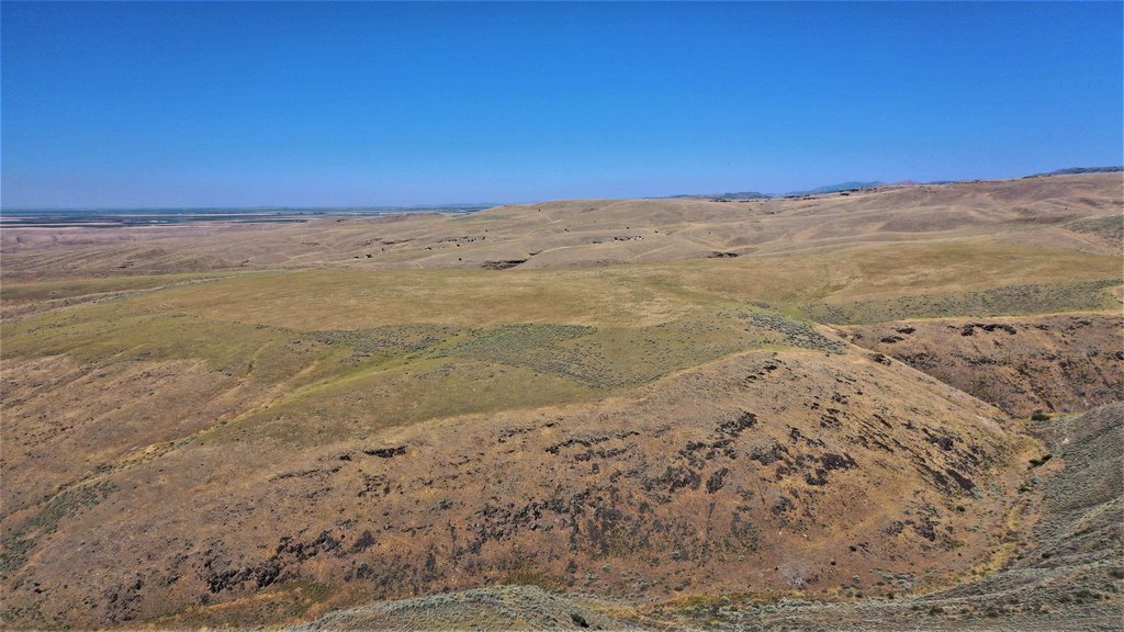
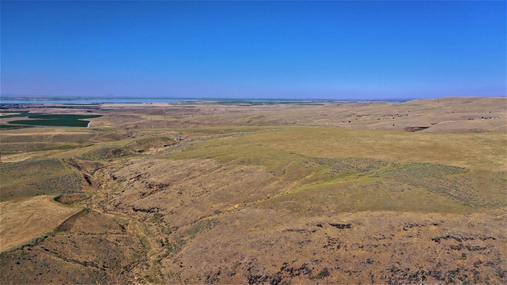
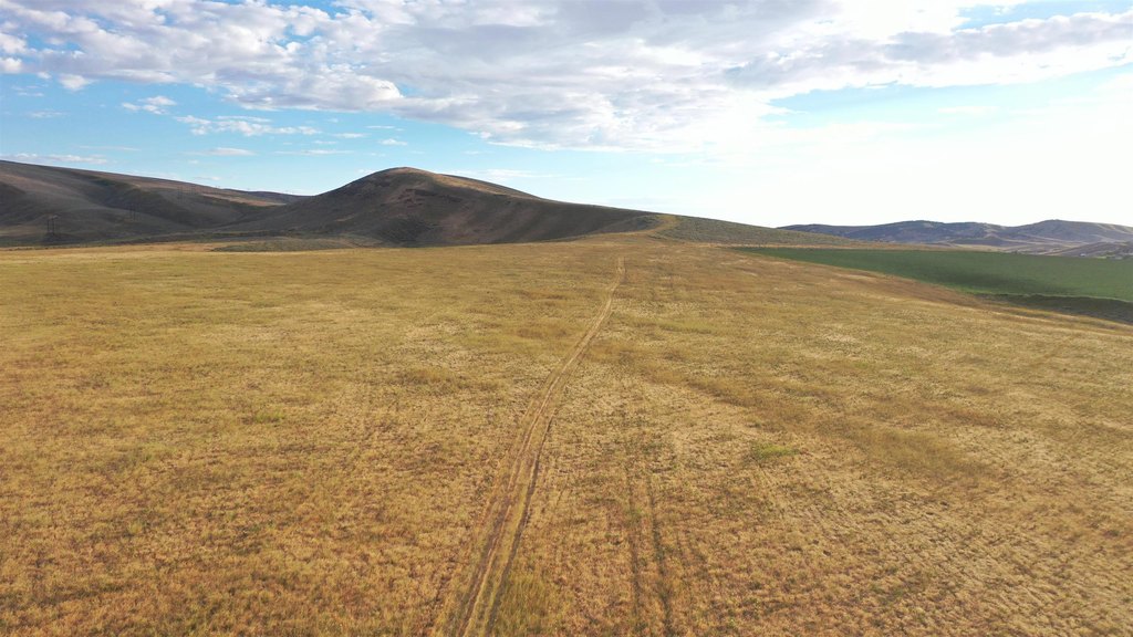
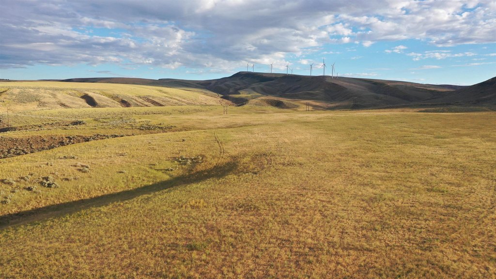
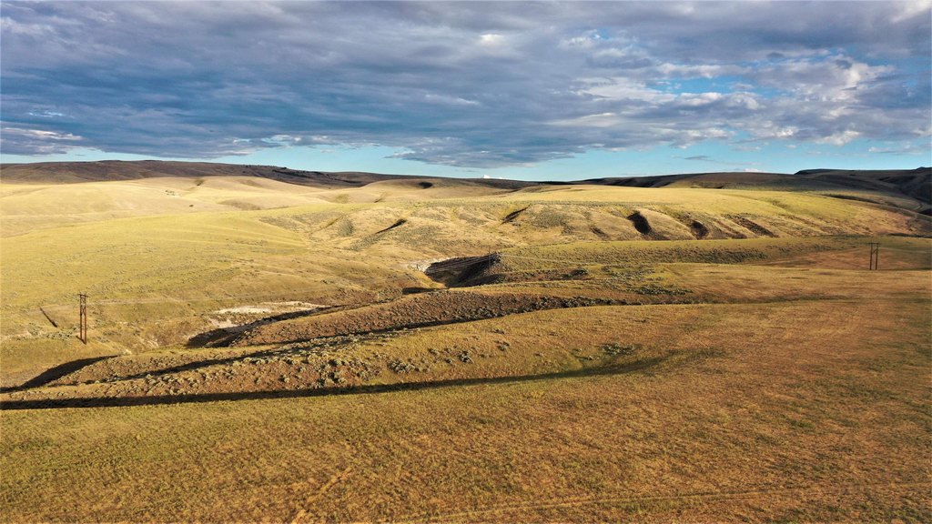
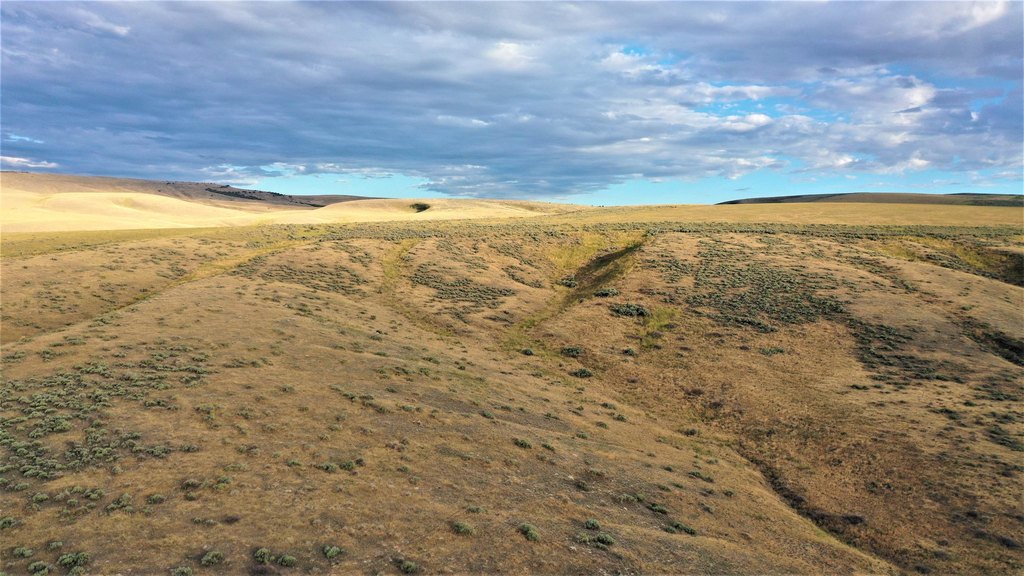
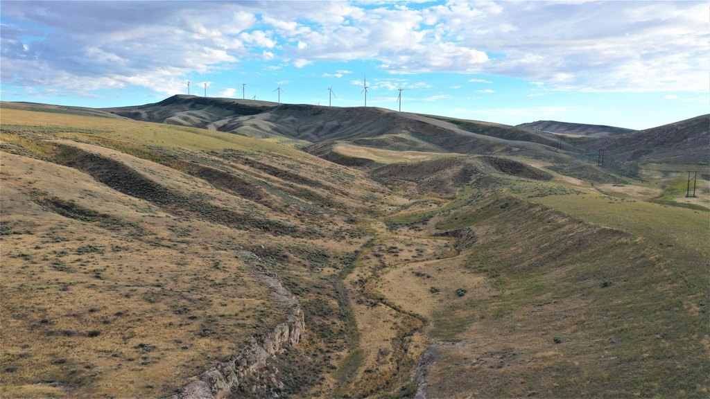
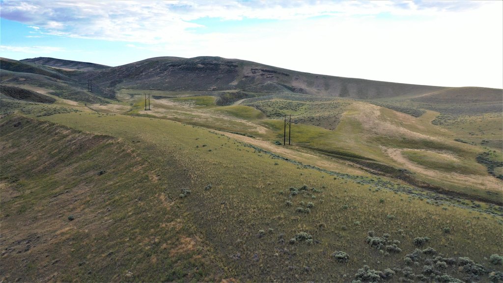
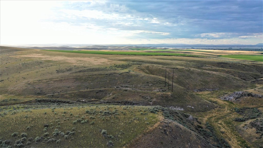
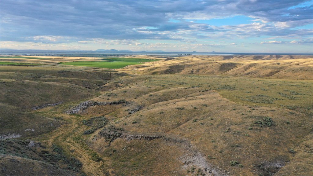
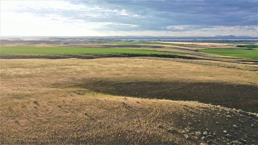
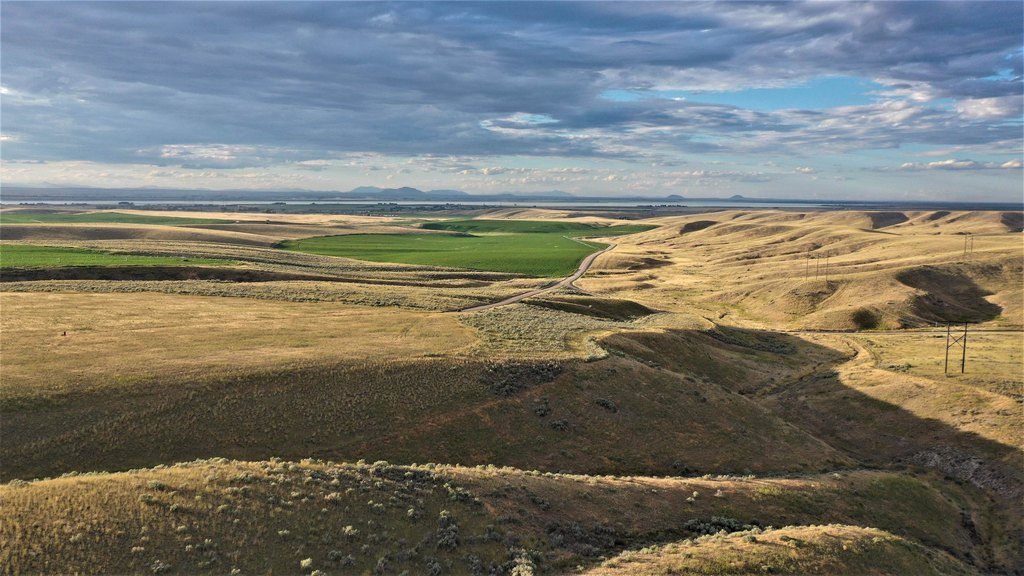
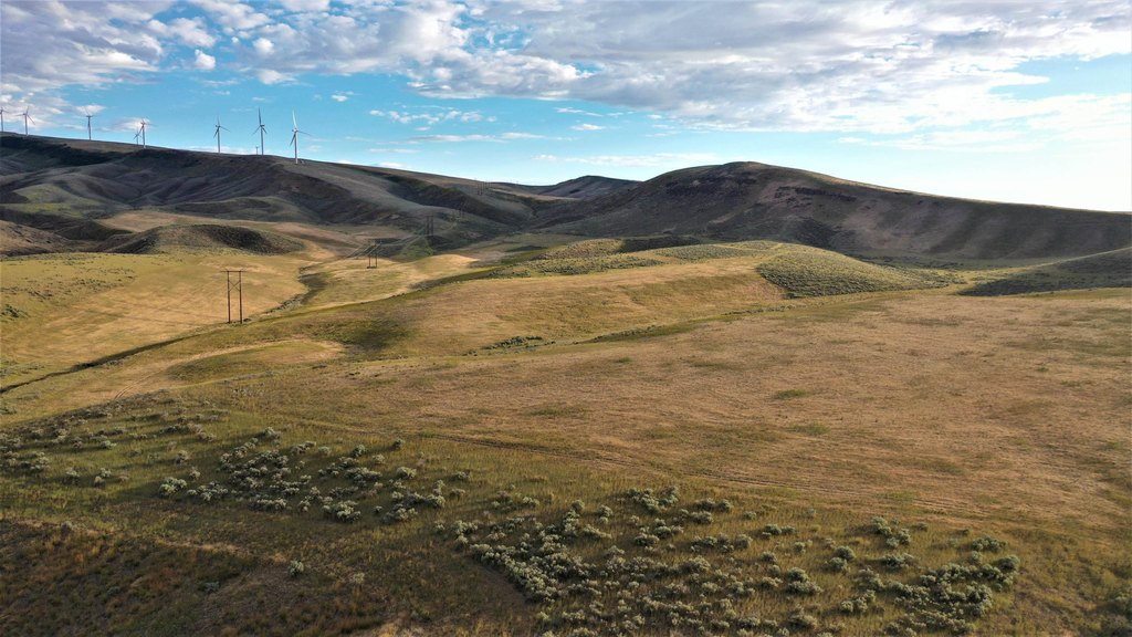
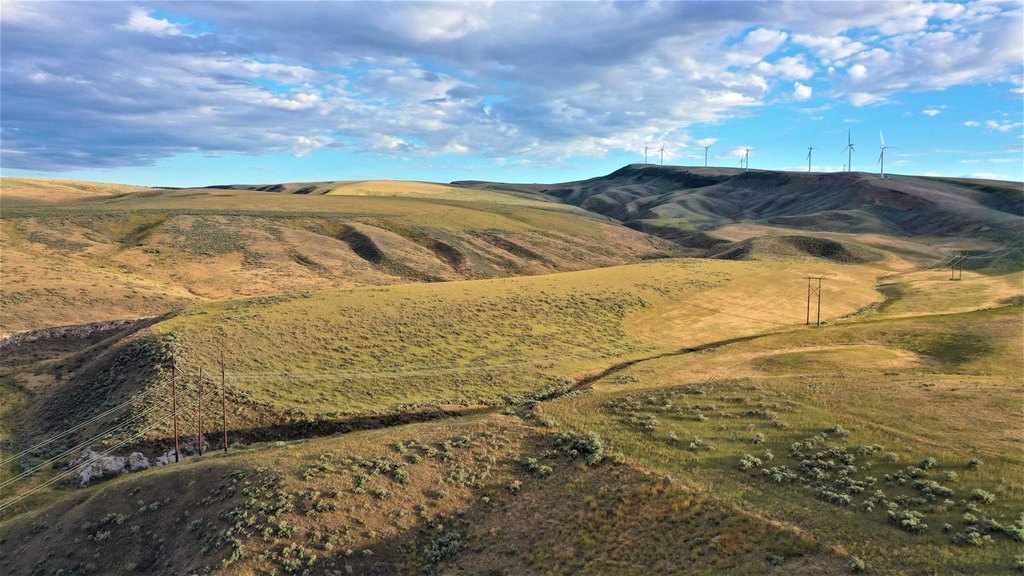
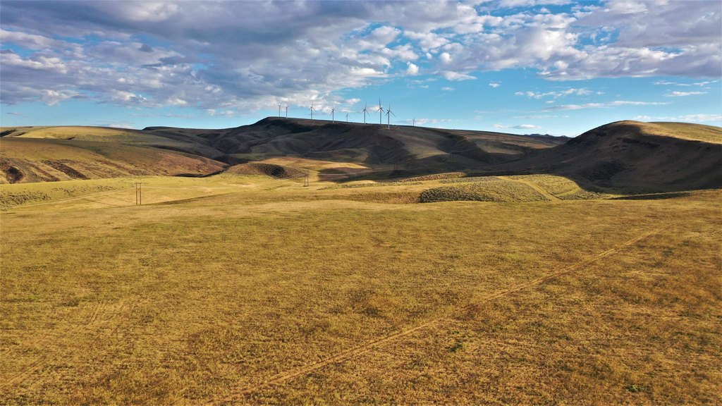
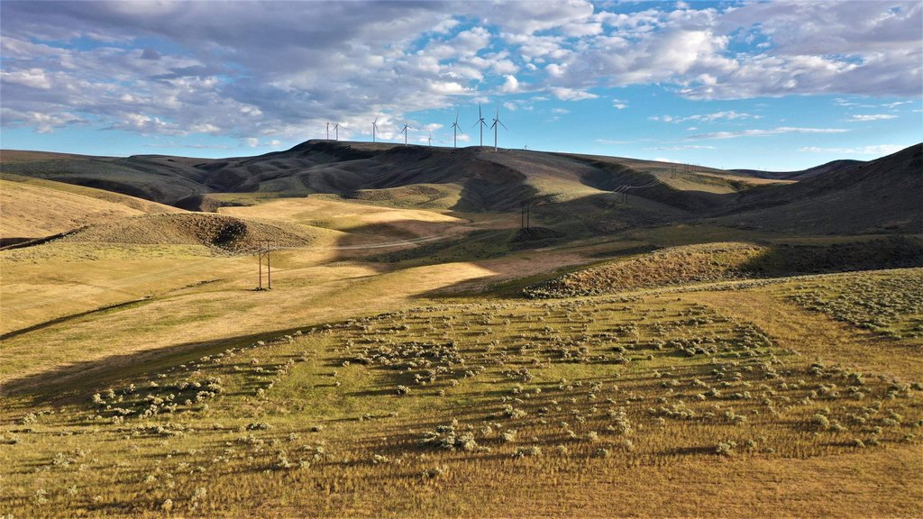
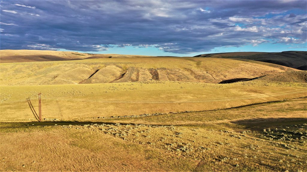
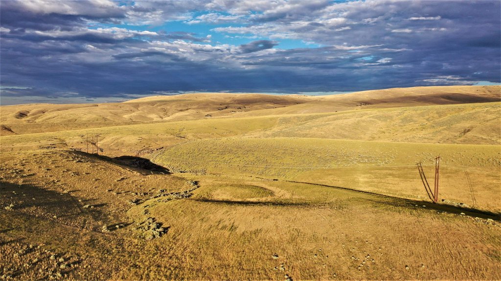
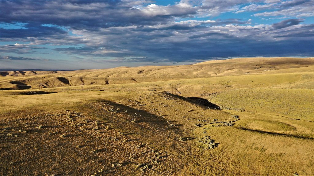
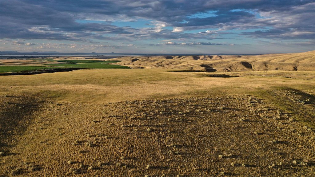
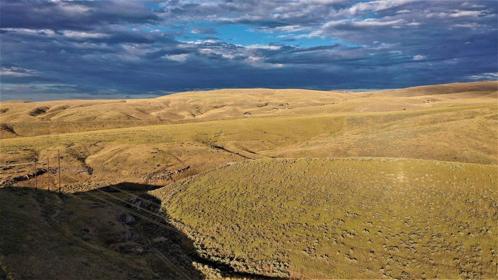
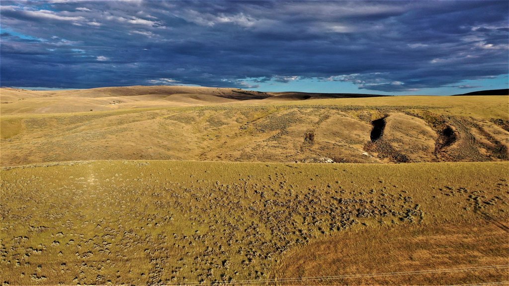
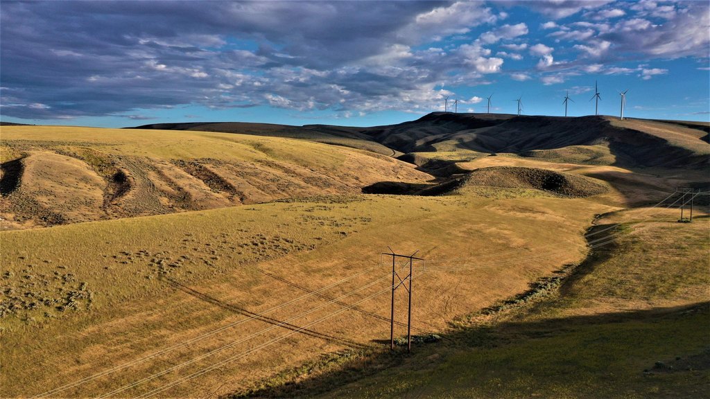
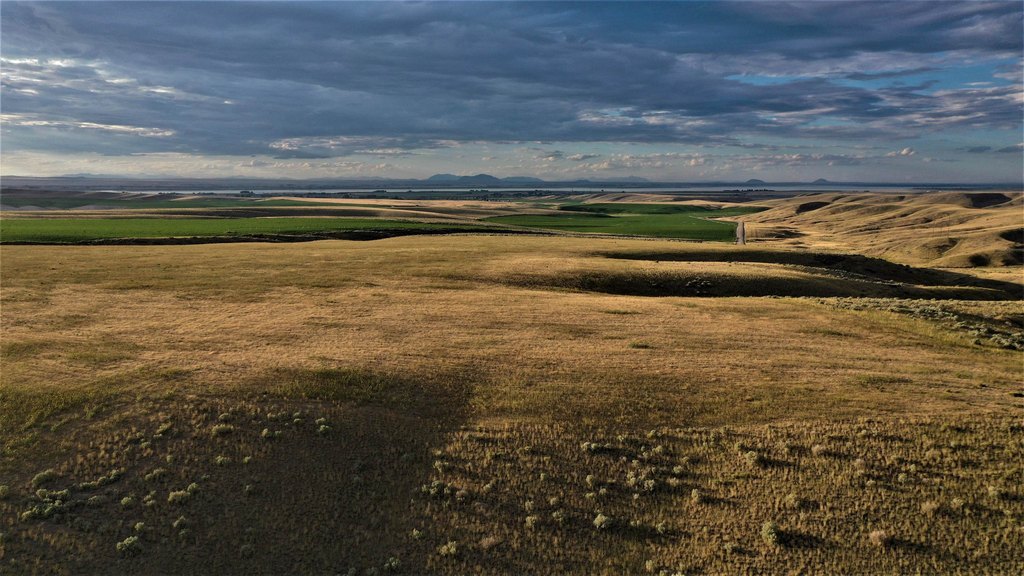
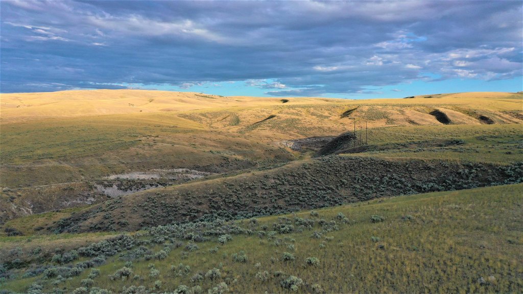
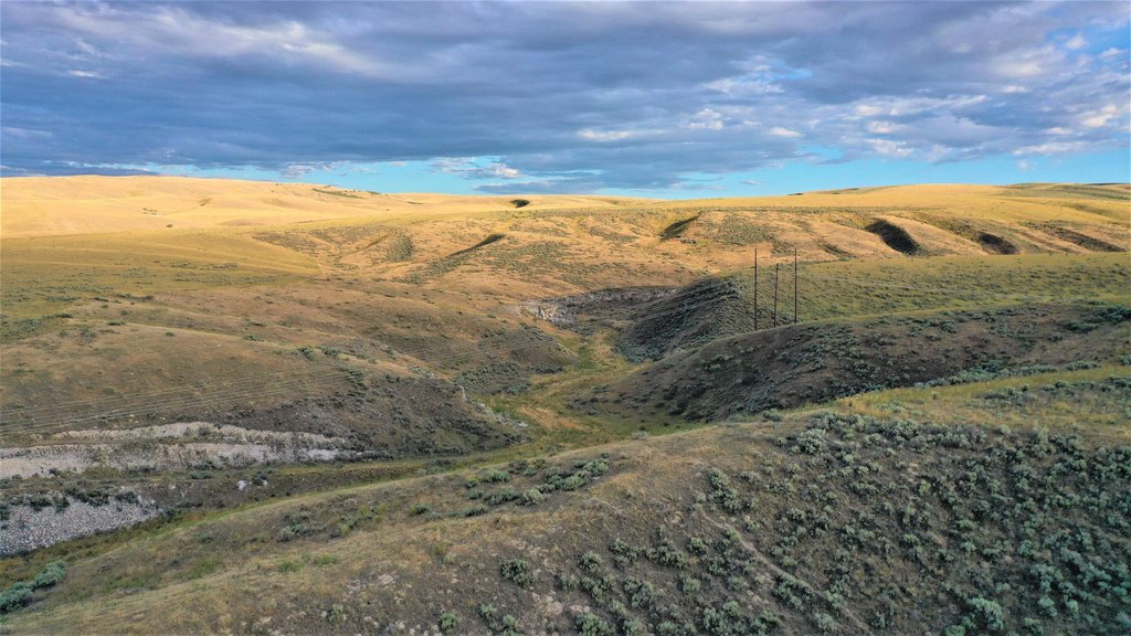
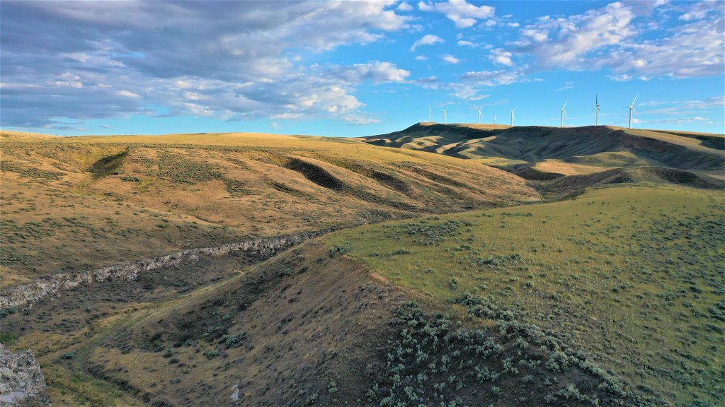
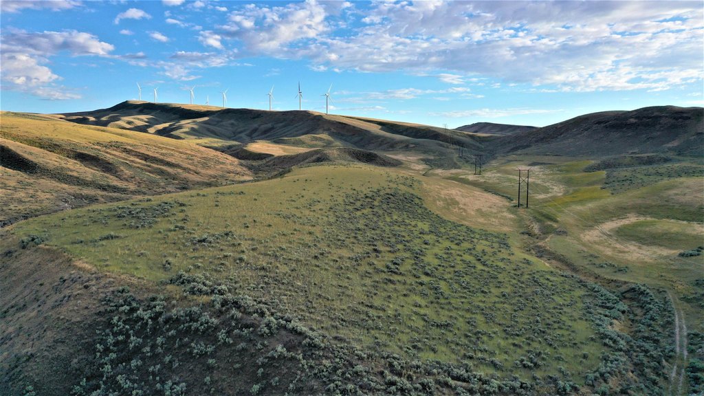
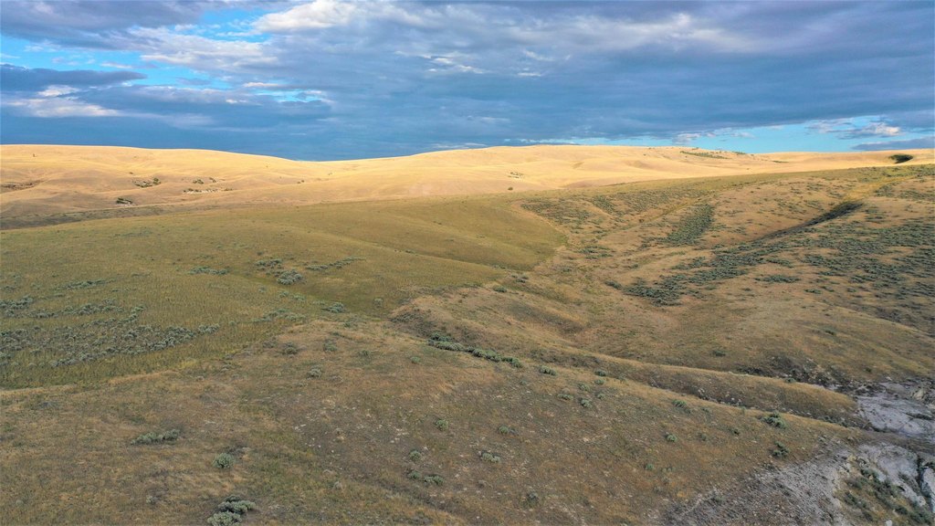
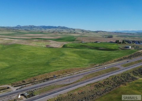
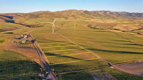
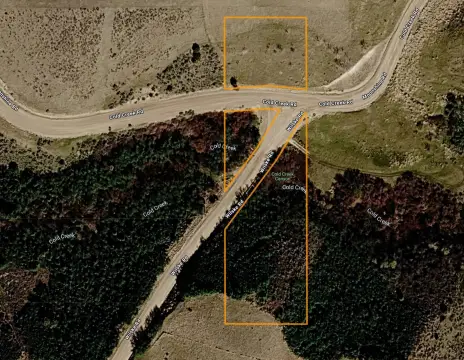
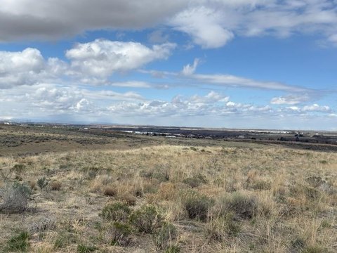
This 763.06-acre hunting property consists of six contiguous parcels with seasonal access from Blind Springs Road. The land includes level areas, moderate slopes, draws, and a two-track route serving much of the acreage. Approximately 560 acres are enrolled in CRP, with about six years remaining, and the ground has a prior history of dry-farmed wheat and safflower production along with cattle grazing. Minimal perimeter fencing is present.
The property is enrolled in Idaho Fish and Game’s Access Yes! program and lies in Hunting Unit 73A. Fort Hall Reservation borders the east side, while a quarter-mile segment along the south adjoins BLM land. Power is not available nearby, so solar generation or a portable generator is recommended; a well would be needed for culinary water. The property also offers off-grid build potential, subject to applicable requirements.
The property is enrolled in Idaho Fish and Game’s Access Yes! program and lies in Hunting Unit 73A. Fort Hall Reservation borders the east side, while a quarter-mile segment along the south adjoins BLM land. Power is not available nearby, so solar generation or a portable generator is recommended; a well would be needed for culinary water. The property also offers off-grid build potential, subject to applicable requirements.
Key Highlights
- 763.06 acres divided into six contiguous parcels
- Approximately 560 acres enrolled in CRP with approximately six years left
- Seasonal access from Blind Springs county road
Property Analytics
Unlock full access to Insights
Subscribe to Realmo Intelligence
Open Analytics
Current Use
Lease Details
Yes
Paved road access
Location Intelligence
Demographics for 83211, ID
6,500
Population
2,319
Households
2.8
Avg Household Size
34
Median Age
16%
College-Educated
87%
High-School Grad
743.4 sq mi
ZIP Area
9
Density / Sq Mi
$60,852
Median Household Income
$35,132
Median Earnings
$725
Median Rent
$195,600
Median Home Value
Check the figures for this property
Cap Rate, Value Estimation, Potential NOI and more
View Realmo Analytics

Questions? Ask Rey
Realmo’s AI knows this listing — price, zoning, demand, history. Ask anything.

Frequently Asked Questions
What type of property is this?
Hunting land - Six connected parcels provide seasonal county-road access and off-grid recreational use in Hunting Unit 73A.
Where is this hunting land located?
The property is located at 100 Blind Springs Road American Falls, ID.
What is the asking price?
The asking price for this property is $1,335,000.
What are key features of this property?
This property features: 763.06 acres divided into six contiguous parcels; Approximately 560 acres enrolled in CRP with approximately six years left; Seasonal access from Blind Springs county road