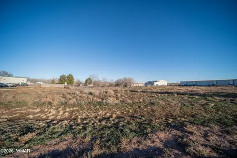
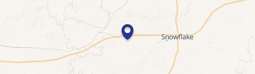
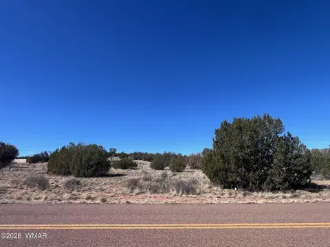
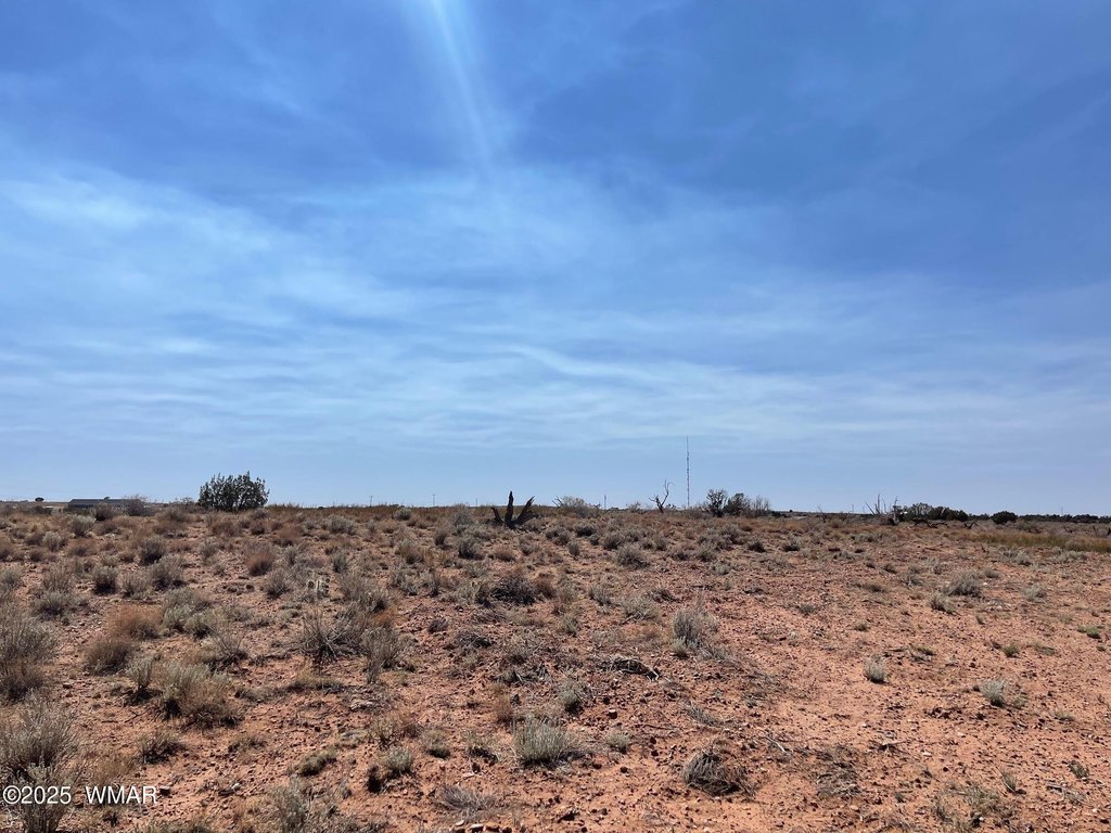
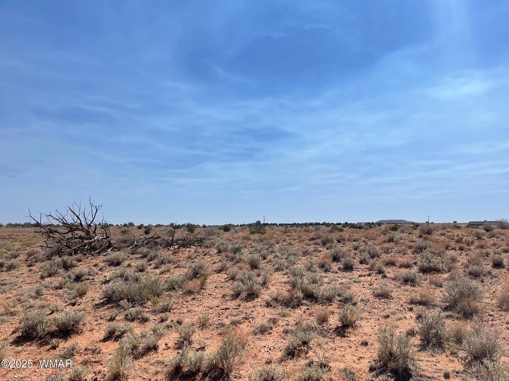
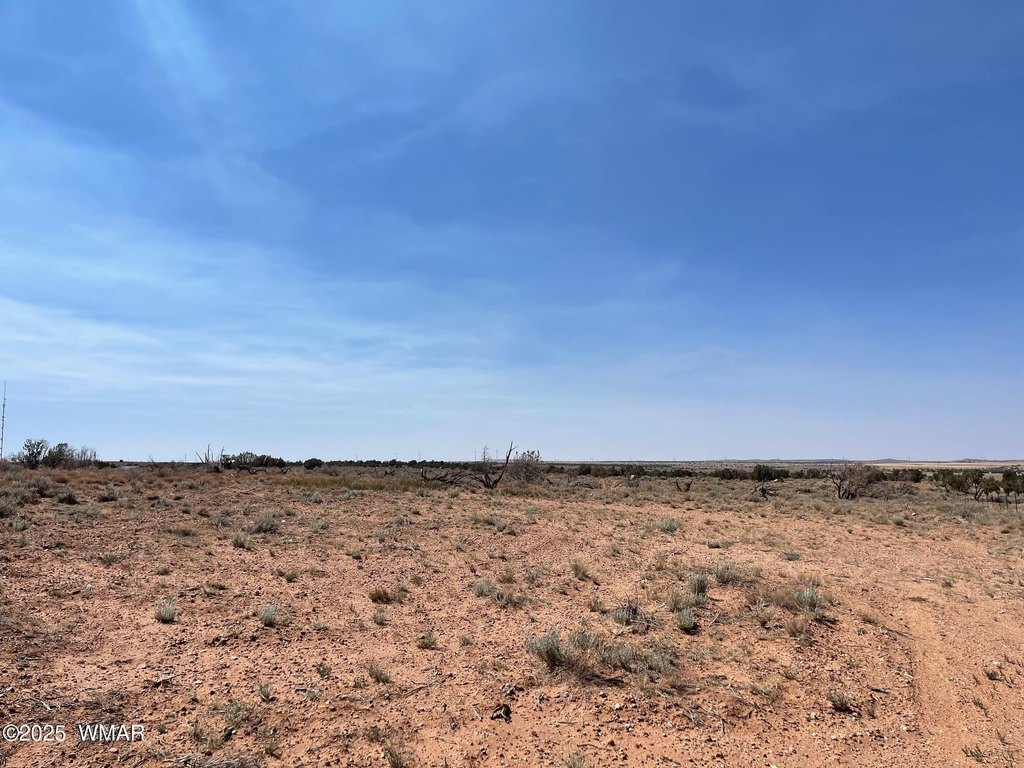
Parcel C Highway 77 Snowflake, AZ 85937
COMMERCIAL - Snowflake, AZ
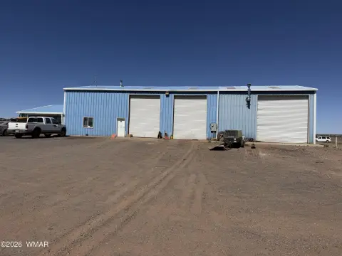
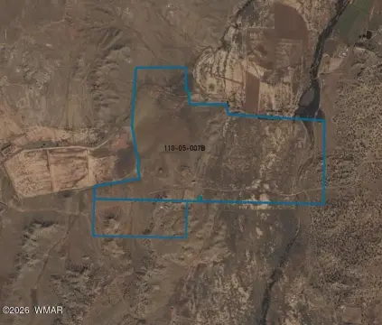
Property Features for Parcel C Highway 77
General Information
- Property type
- Commercial Sale
- Property subtype
- Other
- Exterior features
- Level
- Standard status
- Active
- APN
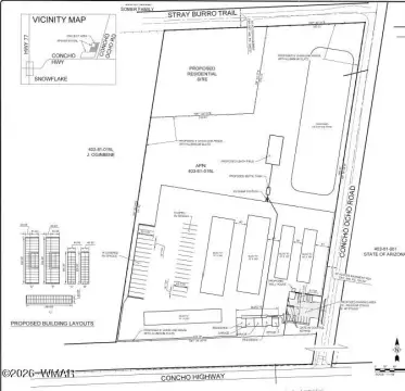
- 202-39-035
- Lot size
- 4.92 Acres
Taxes and HOA fees
- Tax Description
- A portion of Parcel IND 1 per Survey Fee 2010-16315, located in Section 35, Township 14 North, Range 21 East, of the Gfila and Salt River Base and Meridian, Navajo County, Arizona, described as follows Jsing as the Basis of Bearing the South line of said Parcel IND 1, from a found #4 rebar with a yellow plastic cap stamped LS 9868, thence North 89 degrees 50'48'' West 1220.41 feet to a found #4 rebar with a yellow plastic cap stamped L 9868; Commencing at the southeast corner of said Parcel IND 1, being a found #4 rebar with a yellow plastic cap stamped LS 9868; hence North 89 degrees 51'12'' West 406.90 feet to a found #4 rebar with an orange plastic cap stamped LS 2229 hence North 89 degrees 50'11'' West 406.69 feet to the Point of Beginning, being a found #4 rebar with an orange plastic cap stamped LS 22290; Thence North 89 degrees 51'02'' West 406.82 feet to a found #4 rebar with a yellow plastic cap stamped LS 9868; Thence North 00 degrees 04'14'' East 270.51 feet to a found #4 rebar with a yellow plastic cap stamp
Listing agent Shelly Reidhead License #BR657663000 (928) 551-3697
Listing office Elk Country Realty LLC 830 E Main St Ste 120, Springerville, AZ (928) 333-1420
Listing date Jul 20, 2025
Copyright © 2026 White Mountain Association of Realtors. All rights reserved. All information provided by the listing agent/broker is deemed reliable but is not guaranteed and should be independently verified.
Investment Insights
Based on property information with market context.
Key Highlights
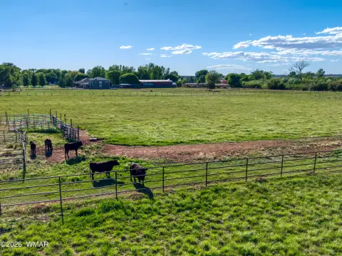
- 1.5 acre property with light industrial zoning.
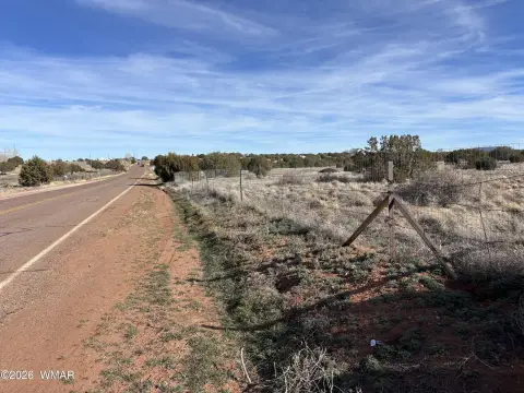
- Excellent highway exposure.
- Easy access to major transportation routes.