Wooded Recreational
For Sale
$74,900
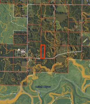
Parcel B Coates Hwy, Brethren, MI 49619
Land, Brethren, MI
Property SizeContact for details
Lot Size9.74 Acres
Days on Market159
Property Features for Parcel B Coates Hwy
General Information
Property type
Land
Property subtype
Other
Lot features
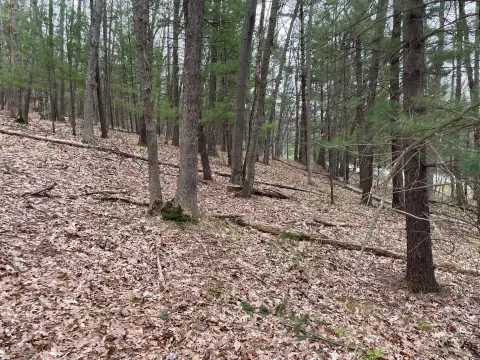
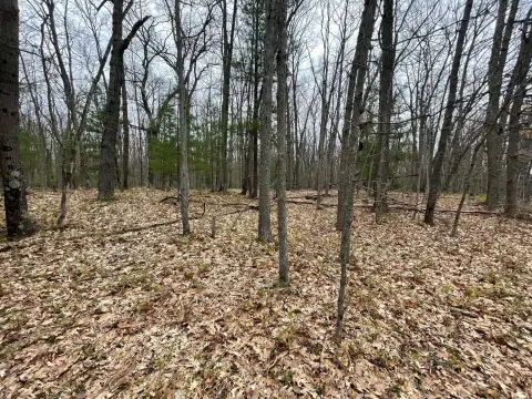
Rolling Hills, Buildable, Recreational, Wooded
Elementary school district
Kaleva-Norman-Dickso
Middle school district
Kaleva-Norman-Dickso
High school district
Kaleva-Norman-Dickso
Directions
M-55 East of Wellston to Warfield North to Coates Hwy West towards Brethren property is on the north side at Keith Road. When High Bridge is repaired you can access from High Bridge Road to Coates Hwy.
Standard status
Active
APN
51-05-114-250-01
Lot size
9.74 Acres
Taxes and HOA fees
Tax Year
2026
Tax Description
A PARCEL OF LAND IN THE NORTHWEST QUARTER OF SECTION 14, TOWNSHIP 22 NORTH-RANGE 14 WEST, DICKSON TOWNSHIP, MANISTEE COUNTY, MICHIGAN, DESCRIBED AS: COMMENCING AT THE WEST QUARTER CORNER OF SAID SECTION; THENC'E SOUTH 88 degrees 25'14'' EAST ALONG THE EAST-WEST QUARTERLINE 323.54 FEET TO THE POINT OF BEGINNING; THENCE NORTH 02 degrees 01'08'' EAST 1312.29 FEET TO THE NORTH LINE OF THE SOUTHWEST QUARTER OF THE NOR
Legal Description
A PARCEL OF LAND IN THE NORTHWEST QUARTER OF SECTION 14, TOWNSHIP 22 NORTH-RANGE 14 WEST, DICKSON TOWNSHIP, MANISTEE COUNTY, MICHIGAN, DESCRIBED AS: COMMENCING AT THE WEST QUARTER CORNER OF SAID SECTION; THENC'E SOUTH 88 degrees 25'14'' EAST ALONG THE EAST-WEST QUARTERLINE 323.54 FEET TO THE POINT OF BEGINNING; THENCE NORTH 02 degrees 01'08'' EAST 1312.29 FEET TO THE NORTH LINE OF THE SOUTHWEST QUARTER OF THE NOR
Utilities
Utilities
Electricity Available
Listing Agency:
Big River Properties
(231) 266-8288
Listed By:
Nicole Estes · License #6501311074
(231) 510-0376
Added: May 1
Changed: Sep 1
Last Checked: Oct 6 at 4:06PM
MLS# 26019407
Copyright © 2026 Michigan Regional Information Center, LLC. All rights reserved. All information provided by the listing agent/broker is deemed reliable but is not guaranteed and should be independently verified.
Investment Insights
Based on property information with market context.
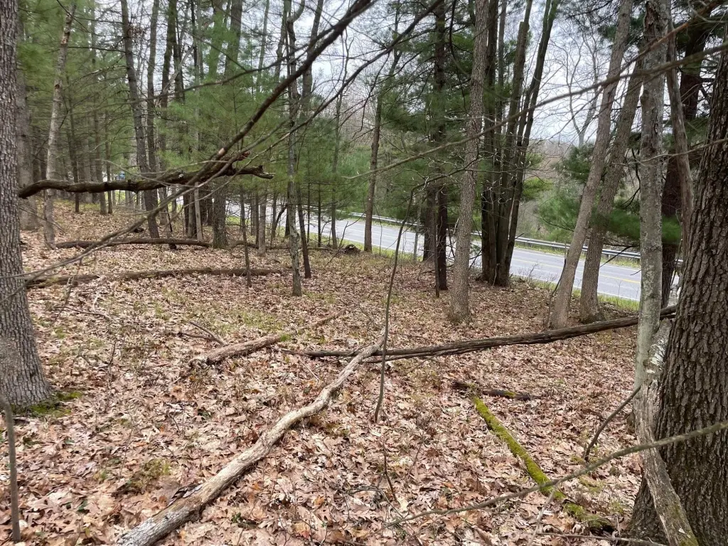
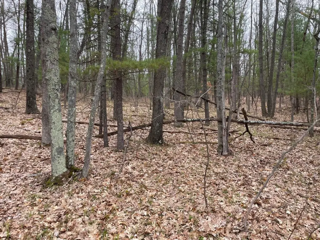
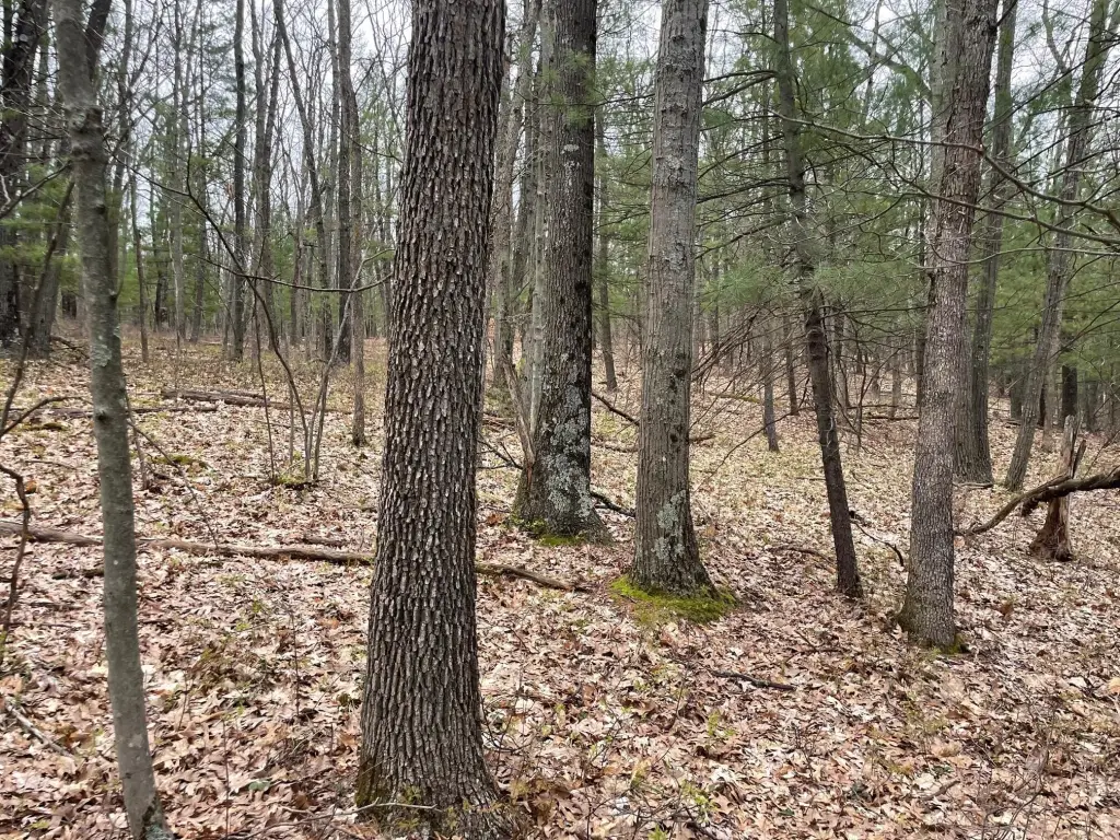
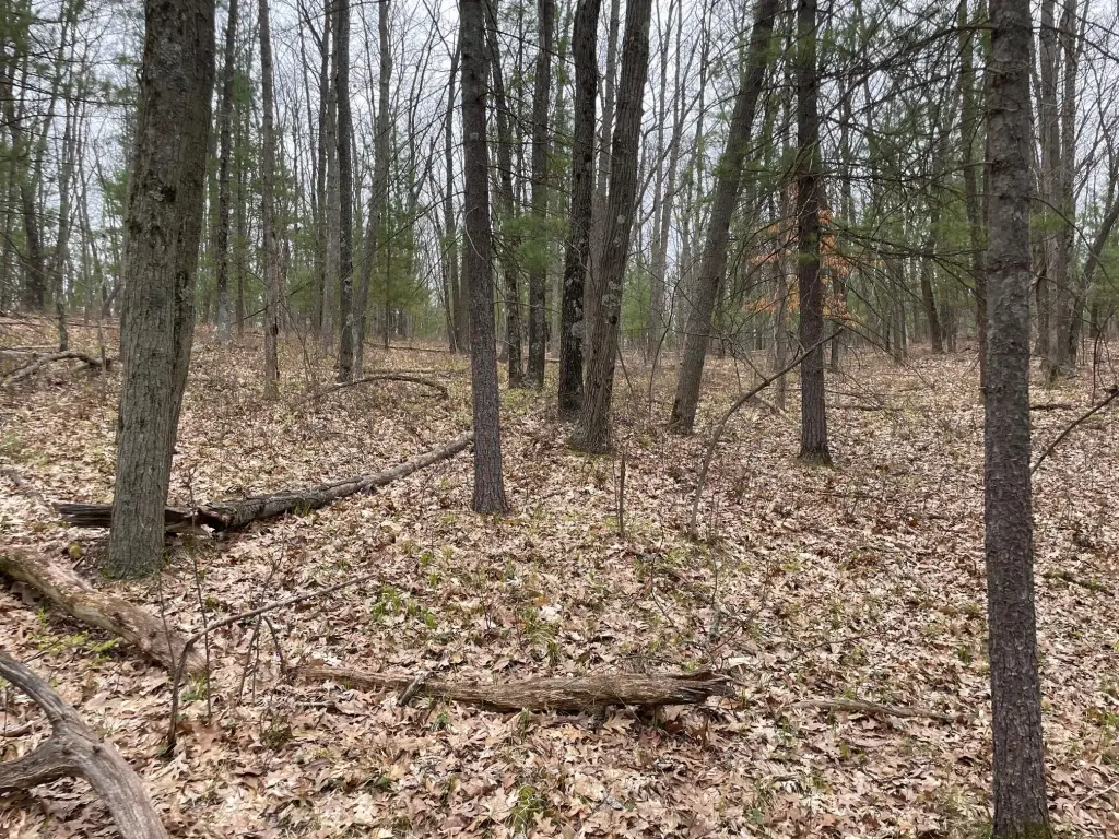
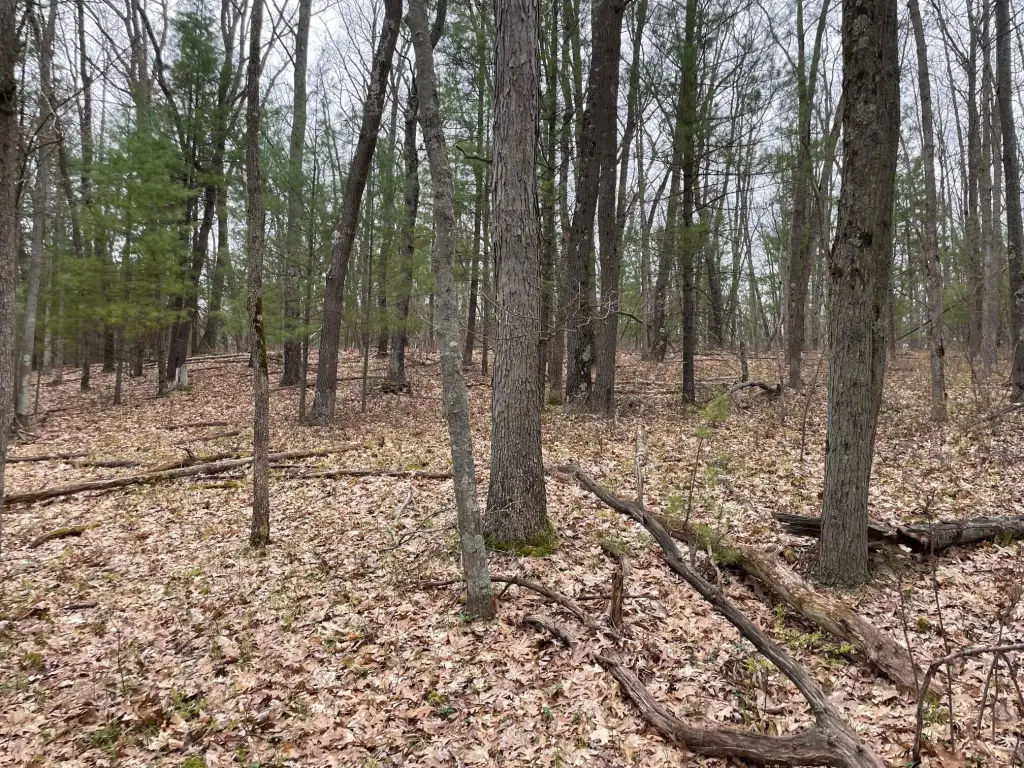
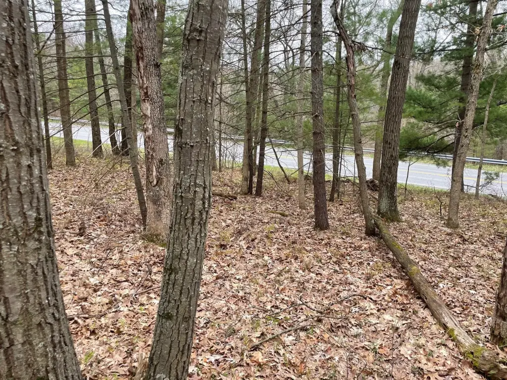
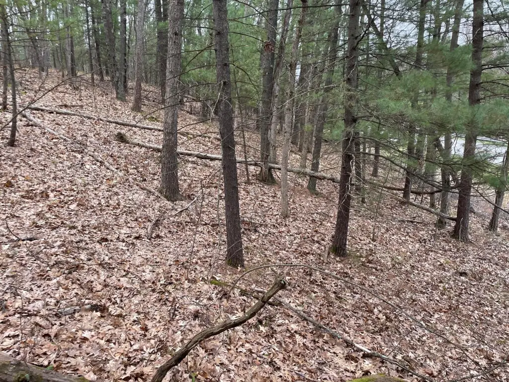
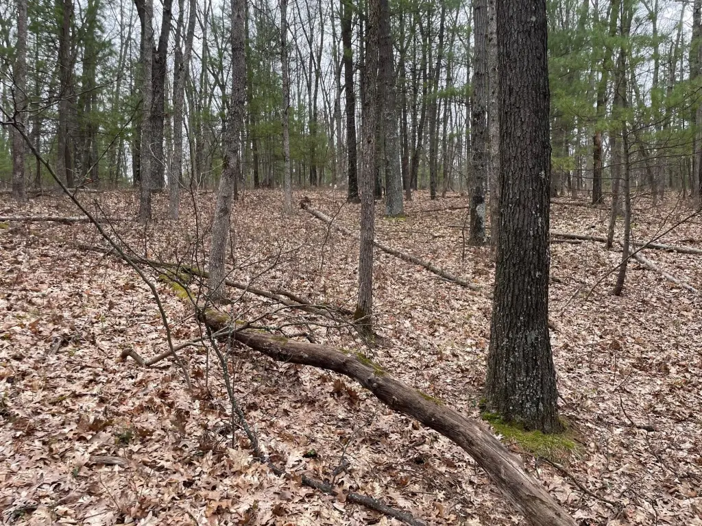
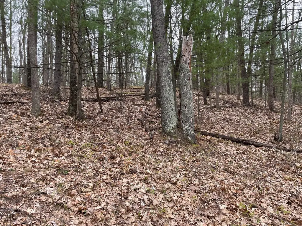
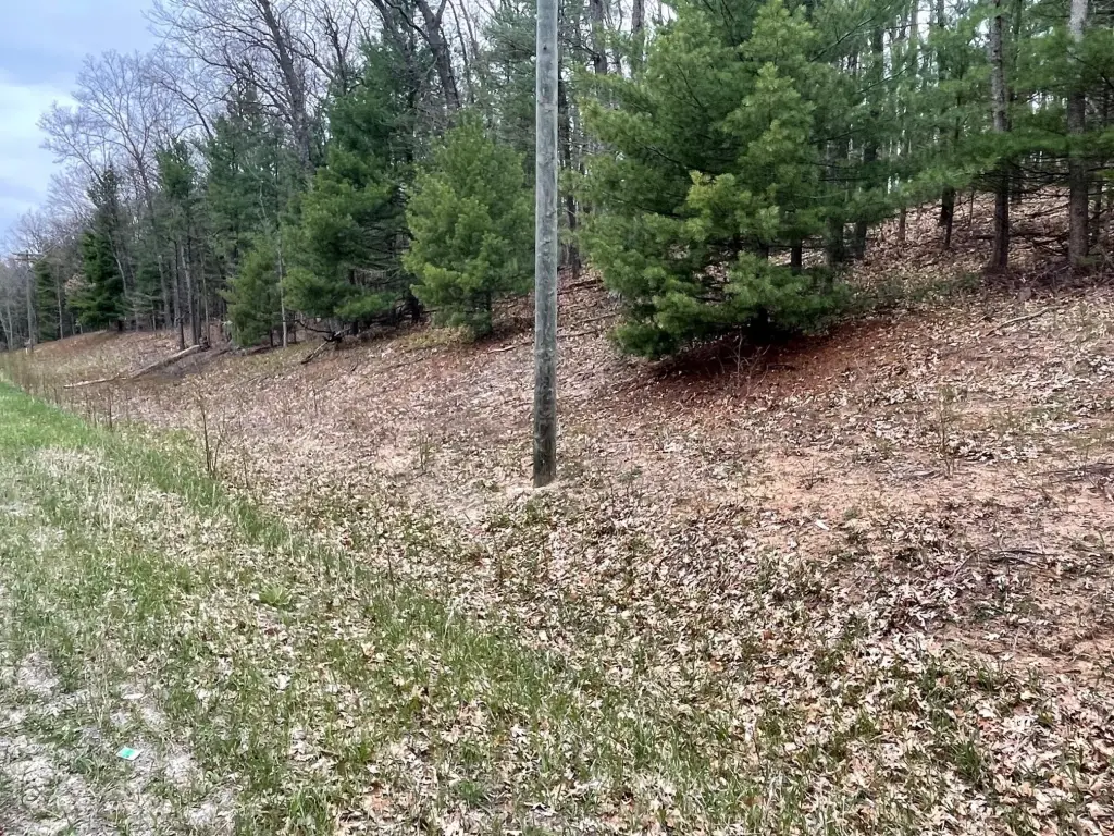
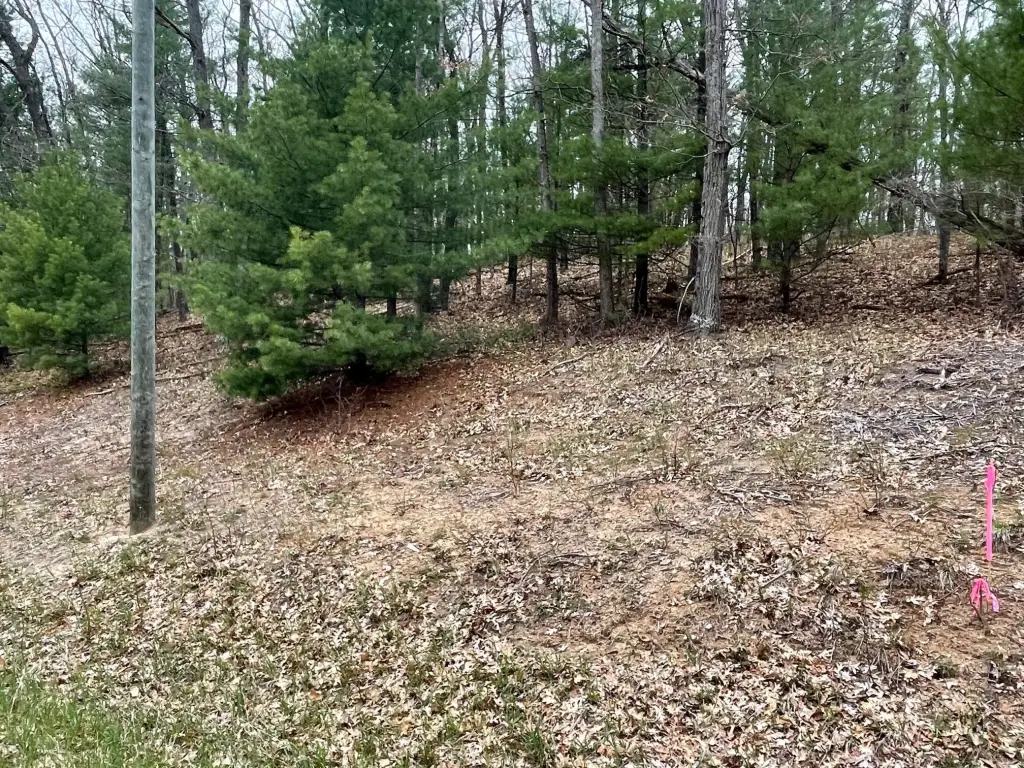
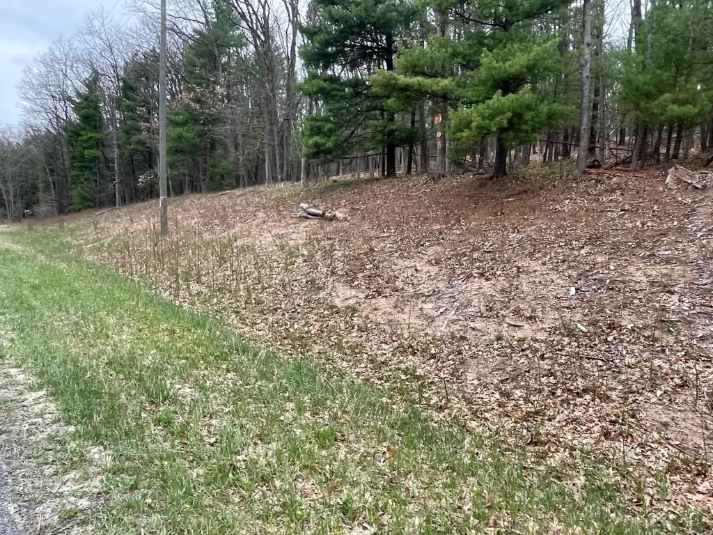
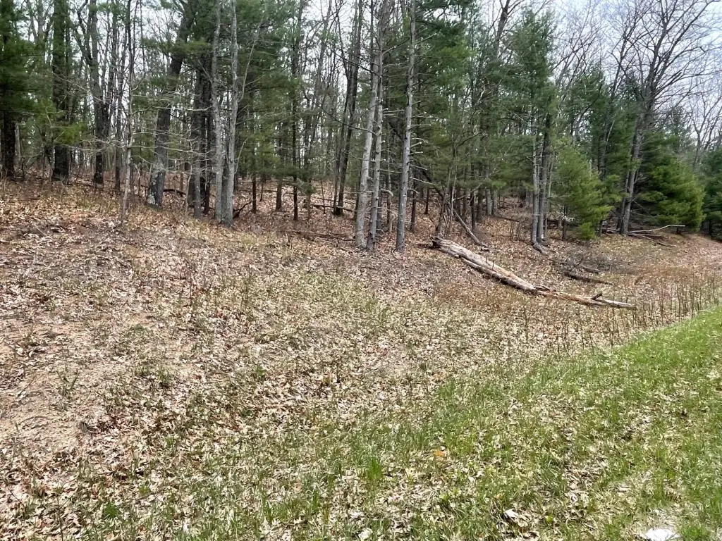
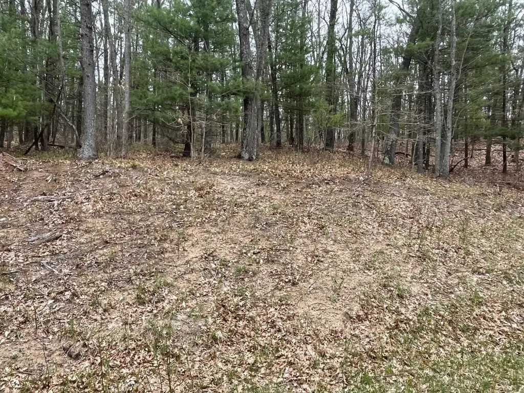
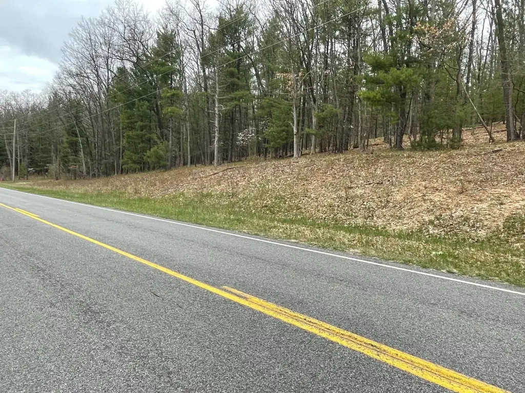
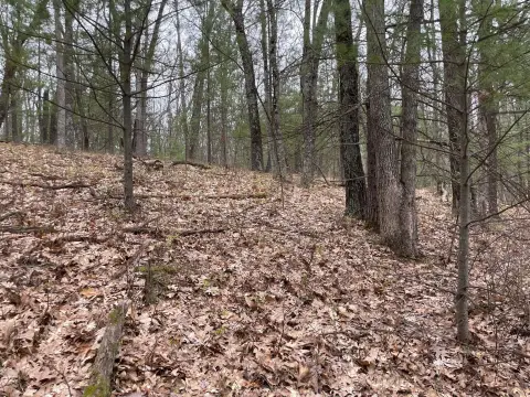
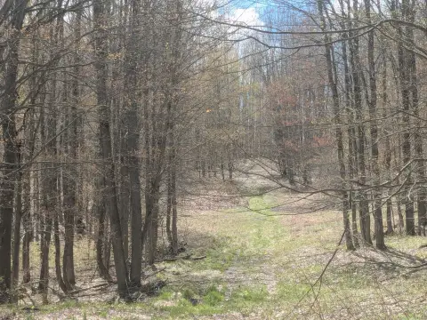
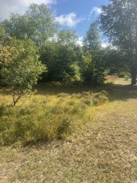
Parcel B comprises 9.74 acres of heavily wooded recreational land along Coates Hwy in Brethren, Michigan. Mature trees, rolling hills, and hilltop views shape the property, while the county-maintained paved road provides direct access. Electricity is available at the road but is not currently connected to the parcel.
The property is near Tippy Dam and Red Bridge on the Big Manistee River, placing it within a Northern Michigan setting associated with outdoor recreation. Three additional parcels are also available.
The property is near Tippy Dam and Red Bridge on the Big Manistee River, placing it within a Northern Michigan setting associated with outdoor recreation. Three additional parcels are also available.
Key Highlights
- 9.74 acres of heavily wooded recreational land
- Frontage on a county‑maintained paved road
- Mature trees, rolling hills, and hilltop views
Property Analytics
Current Use
Lease Details
Yes
Paved road access
Yes
Utilities to site
Location Intelligence
Trade Area within ½ mile
1
Businesses Nearby
Explore this area
Business Placement
Demographics for 49619, MI
1,043
Population
629
Households
1.7
Avg Household Size
52
Median Age
15%
College-Educated
93%
High-School Grad
58.9 sq mi
ZIP Area
18
Density / Sq Mi
$54,118
Median Household Income
$38,894
Median Earnings
$1,250
Median Rent
$135,800
Median Home Value

Questions? Ask Rey
Realmo’s AI knows this listing — price, zoning, demand, history. Ask anything.
Frequently Asked Questions
What type of property is this?
Recreation land - Heavily wooded acreage offers mature trees, rolling terrain, and elevated views in a Northern Michigan recreational setting.
Where is this recreation land located?
The property is located at Parcel B Coates Hwy Brethren, MI.
What is the asking price?
The asking price for this property is $74,900.
What are key features of this property?
This property features: 9.74 acres of heavily wooded recreational land; Frontage on a county‑maintained paved road; Mature trees, rolling hills, and hilltop views