Recreation Land with Multiple Building

For Sale
$429,000
Noah Wood Road, Wood Stock, VT 05071
Land, Woodstock, VT
Property SizeContact for details
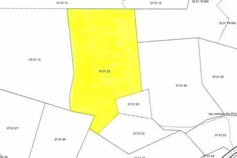
Lot Size60.57 Acres
Days on Market148
Property Features for Noah Wood Road
General Information
Property type
Land
Property subtype
Other
Zoning
Res
Lot features
Near Country Club, Near Golf Course, Near Shopping, Near Skiing, Near Snowmobile Trails, Agricultural, Corner, Country Setting, Hilly, Recreational, Secluded, View, Wooded, Near School(s)
Elementary school
Woodstock Elementary School
Middle school
Woodstock Union Middle Sch
High school
Woodstock Senior UHSD #4
Elementary school district
Windsor Central
Middle school district
Windsor Central
High school district
Windsor Central
Directions
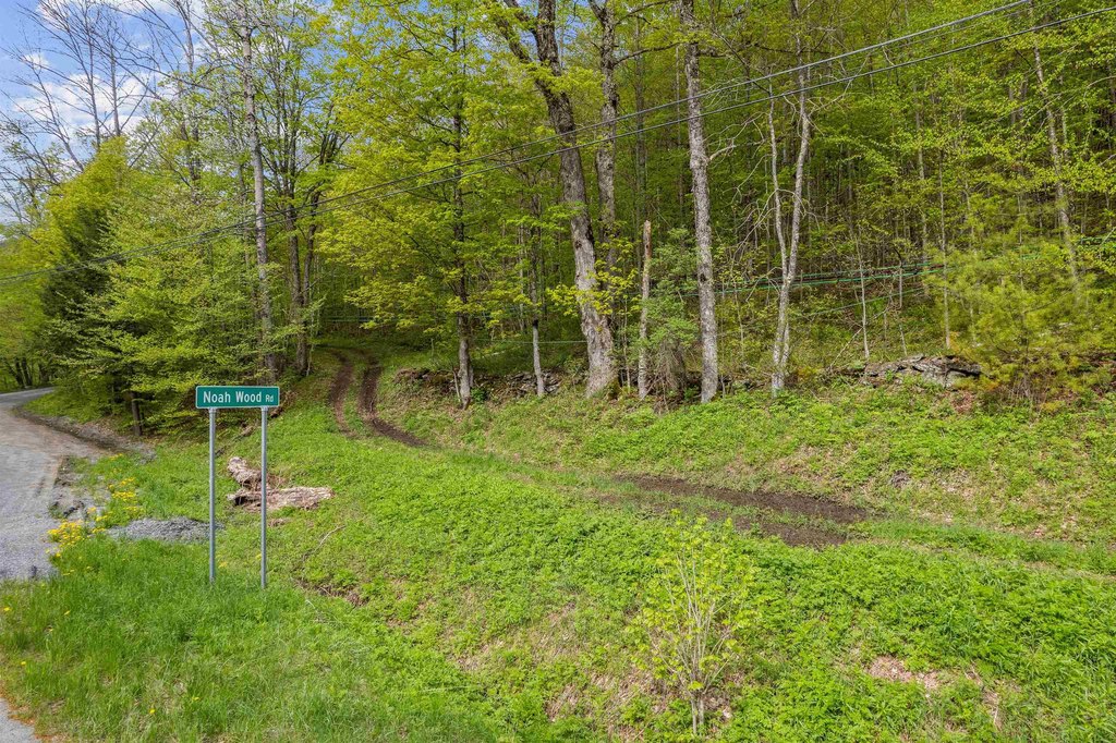
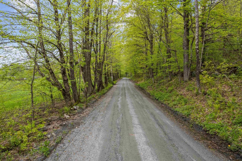
Take South Rd. (Rte 106) to Noah Wood Rd. Land is located at the corner.
Standard status
Active
Lot size
60.57 Acres
Taxes and HOA fees
Tax Year
2026
Tax Annual Amount
2383
Utilities
Sewer type
Septic Needed
Water source
Well Needed, Private
Listing Agency:
Snyder Donegan Real Estate Group
(802) 457-2600
Listed By:
Dan Noble
(802) 356-6044
Added: May 12
Changed: Oct 6
Last Checked: Oct 6 at 6:06PM
MLS# 5088279
Copyright © 2026 PrimeMLS. All rights reserved. All information provided by the listing agent/broker is deemed reliable but is not guaranteed and should be independently verified.
Investment Insights
Based on property information with market context.
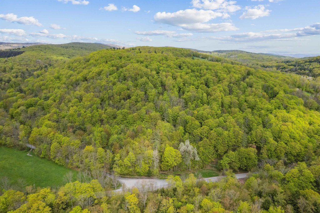
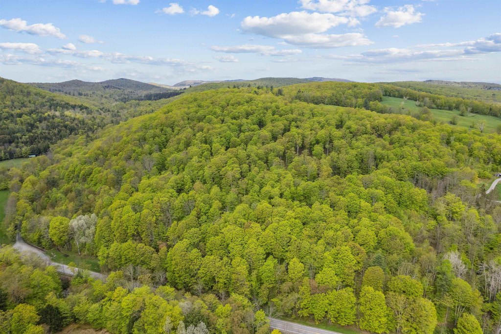
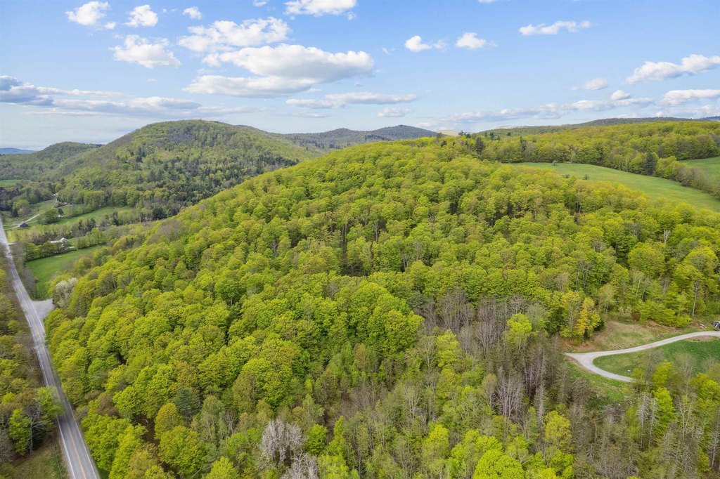
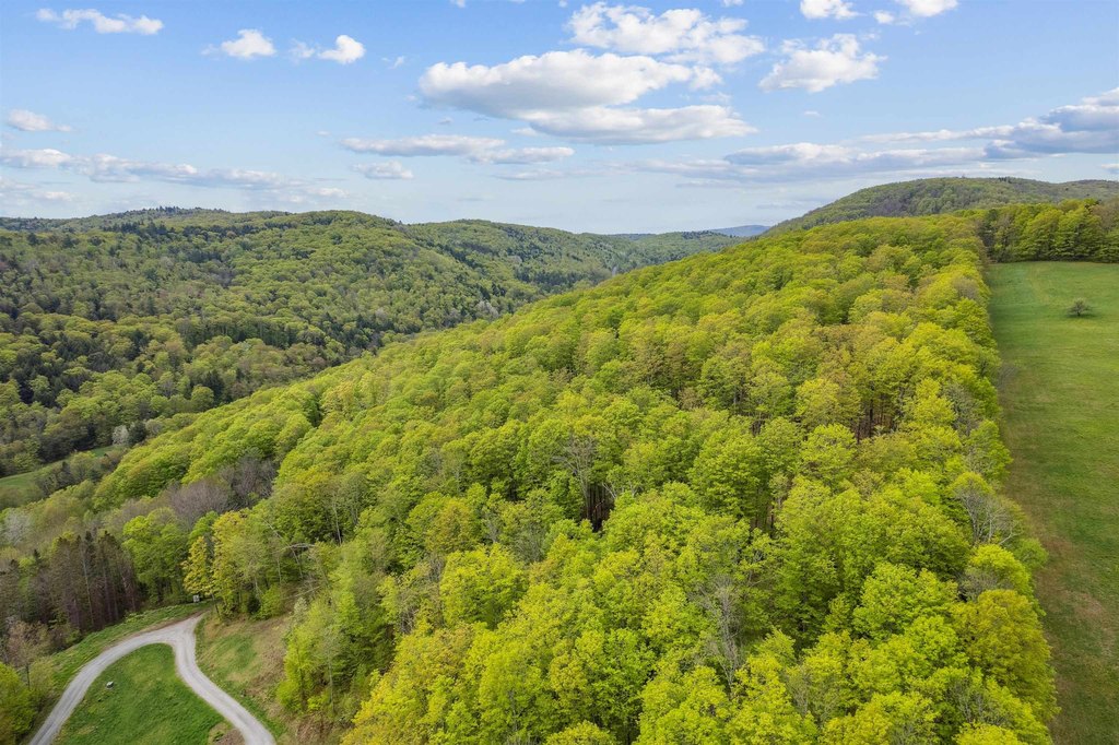
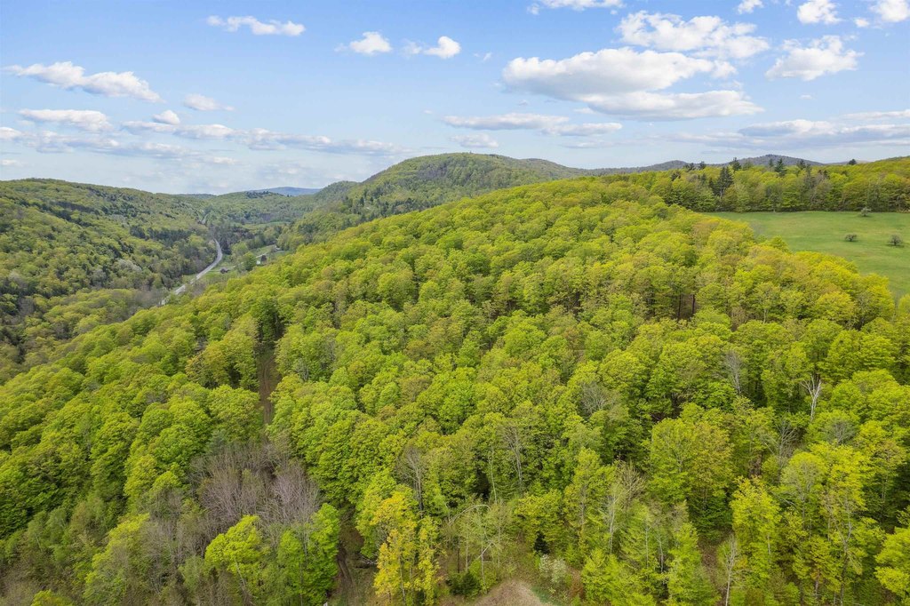
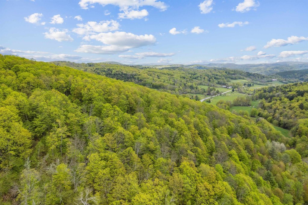
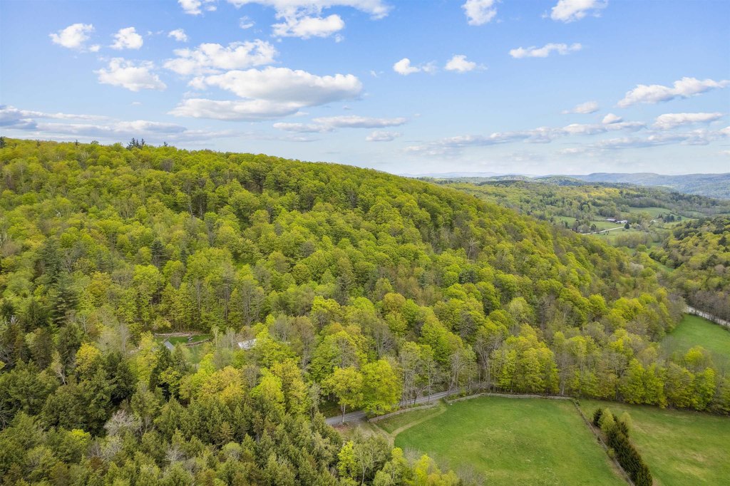
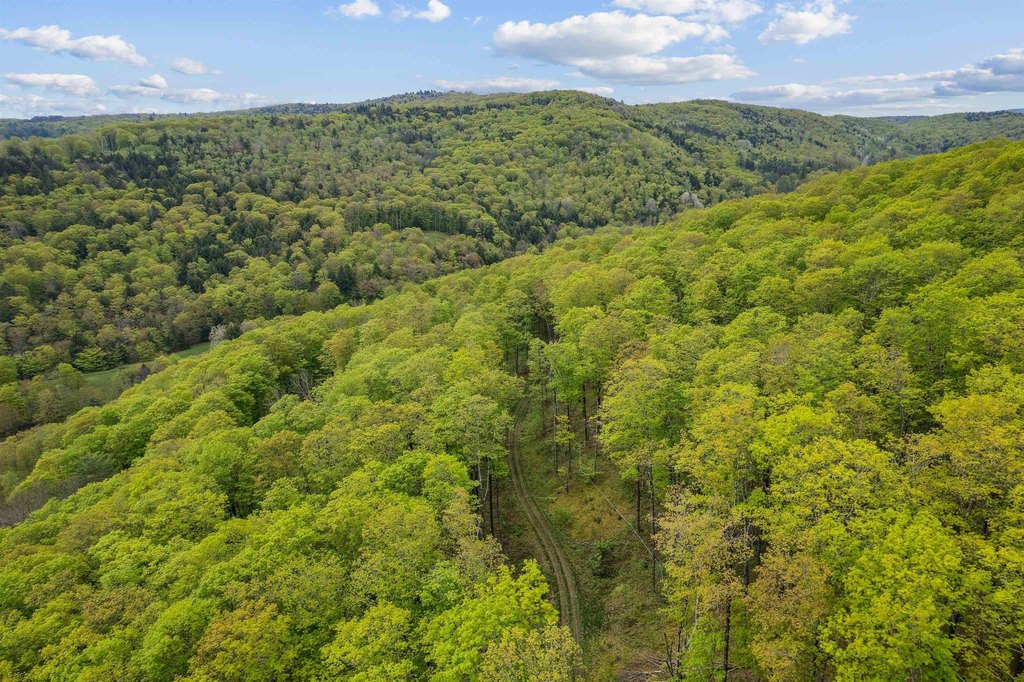
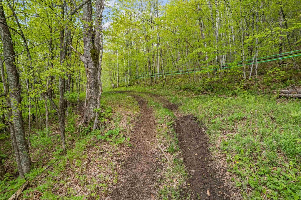
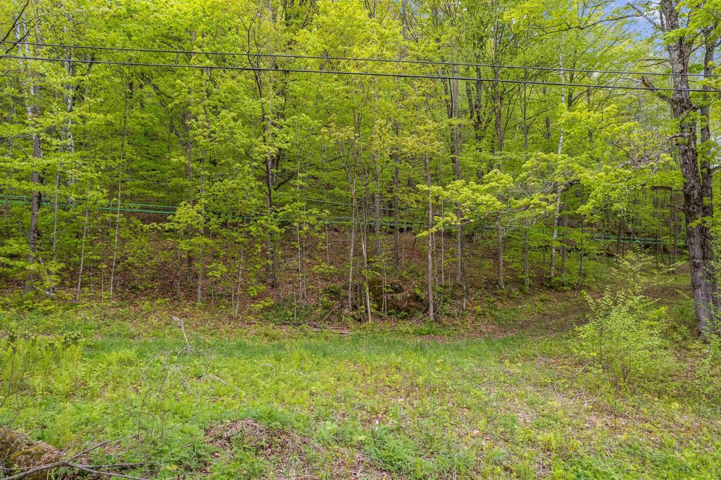
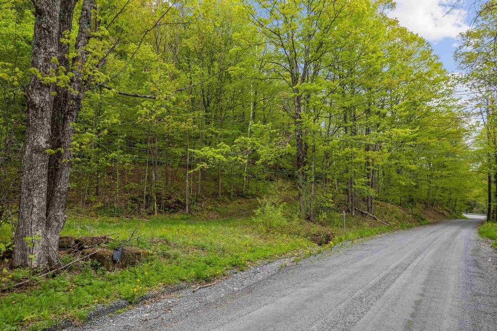
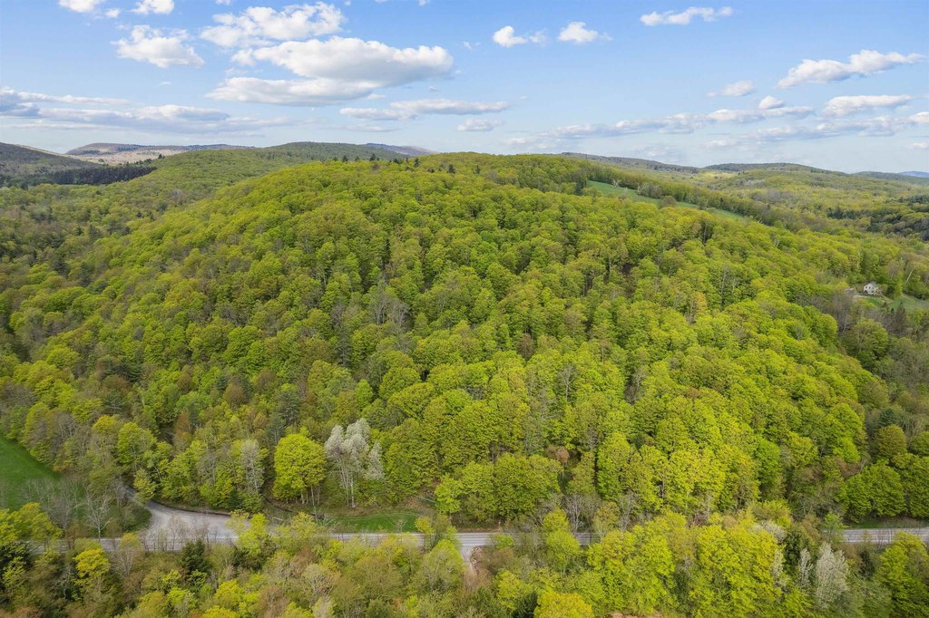
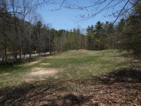
This offering is a 60+ acre wooded parcel in South Woodstock, characterized by terrain that rises from the roads up to a hilltop crest. The property is laid out with multiple potential building sites across the acreage. A large Maple grove on the land is currently tapped by a local syrup producer, adding to the property’s existing natural features.
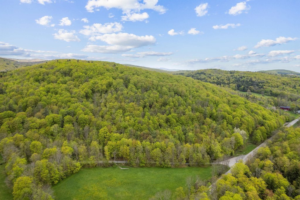
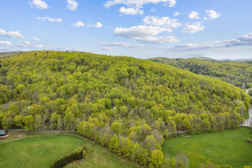
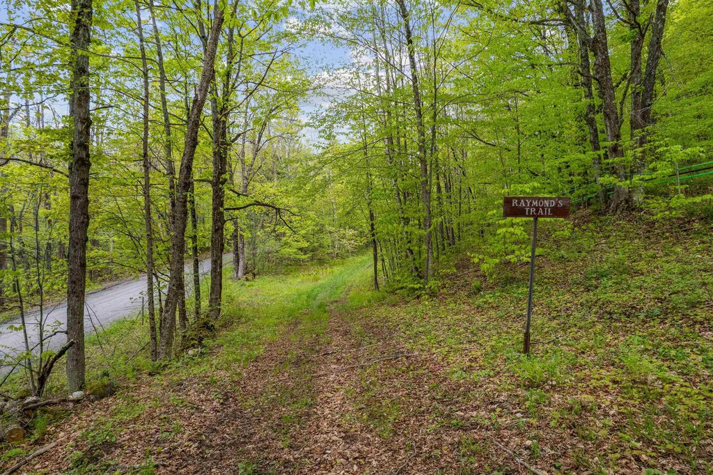
The land sits on a corner location along South Road (106) and Noah Wood Road. Access includes direct entry to the VAST trail from the lower corner of the property, supporting year-round recreational use. The parcel’s setting offers view potential toward the northeast from higher elevations, while nearby conveniences include the South Woodstock Country Store and Kedron Valley Inn, with Woodstock Village approximately 6 miles away.
For buyers looking for a residence site, the site’s multiple potential building areas and elevated topography may support a range of home placements within the wooded landscape. For recreation-focused buyers, the direct VAST trail access and overall wooded setting make the property well-suited to outdoor use as either a primary residence or a second-home getaway. The land is zoned Res.
The land sits on a corner location along South Road (106) and Noah Wood Road. Access includes direct entry to the VAST trail from the lower corner of the property, supporting year-round recreational use. The parcel’s setting offers view potential toward the northeast from higher elevations, while nearby conveniences include the South Woodstock Country Store and Kedron Valley Inn, with Woodstock Village approximately 6 miles away.
For buyers looking for a residence site, the site’s multiple potential building areas and elevated topography may support a range of home placements within the wooded landscape. For recreation-focused buyers, the direct VAST trail access and overall wooded setting make the property well-suited to outdoor use as either a primary residence or a second-home getaway. The land is zoned Res.
Key Highlights
- 60+ acre property on the corner of South Rd. (106) and Noah Wood Rd. in South Woodstock
- Mostly wooded land with multiple potential building sites across the property
- Land rises from the roads to a hilltop crest with view potential to the northeast
Property Analytics
Current Use
Location Intelligence
Trade Area within ½ mile
3
Businesses Nearby
Explore this area
Business Placement
Demographics for 05071, VT
307
Population
121
Households
2.5
Avg Household Size
51
Median Age
39%
College-Educated
93%
High-School Grad
14.5 sq mi
ZIP Area
21
Density / Sq Mi
$111,538
Median Household Income
$34,737
Median Earnings

Questions? Ask Rey
Realmo’s AI knows this listing — price, zoning, demand, history. Ask anything.




Frequently Asked Questions
What type of property is this?
Residential land & home lot - Wooded 60+ acre corner lot in South Woodstock with multiple potential homesites and direct VAST trail access.
Where is this residential land & home lot located?
The property is located at Noah Wood Road Wood Stock, VT.
What is the asking price?
The asking price for this property is $429,000.
What are key features of this property?
This property features: 60+ acre property on the corner of South Rd. (106) and Noah Wood Rd. in South Woodstock; Mostly wooded land with multiple potential building sites across the property; Land rises from the roads to a hilltop crest with view potential to the northeast


