Nhn Canal Road, Gulfport, MS 39503
- Added:
- Mar 5, 2026
- Days on Market:
- 97
- Last Refresh:
- Jun 10 at 4:06 am
Property Features for Nhn Canal Road
General Information
- Property type
- Land
- Property subtype
- Other
- Standard status
- Active
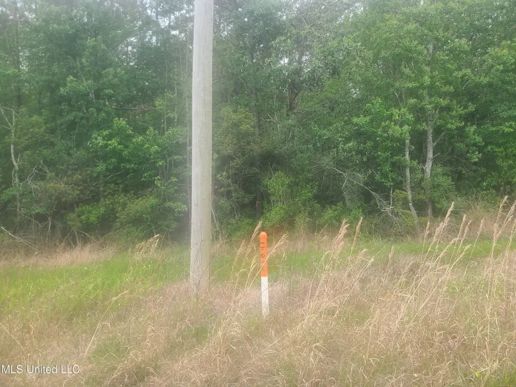
- APN
- 0608-12-001.003
- Lot size
- 10.00 Acres
Taxes and HOA fees
- Tax Year
- 2026
- Tax Description
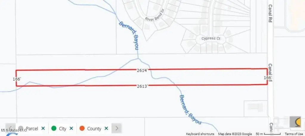
- 10 AC BEG 333.3 FT N OF SW COR OF NW 1/4 OF SE 1/4 OF SEC 12 N ALONG 1/2 SEC LINE 163.3 FT E 2641.3 FT TO W MAR OF CANAL RD S ALONG RD 163.3 FT W 2637.9 FT TO POB PART OF N 1/2 OF SE 1/4 OF SEC 12-7-12
Utilities
- Utilities
- Cable Available
- Sewer type
- Public Sewer
- Water source
- Public
- Water front features
- River Front, Waterfront
- Water front
- 1

Listing agent James M Overstreet License #B17680 (228) 323-0607
Listing office New Horizons Realty, Inc. 17520 Orange Grove Rd, Gulfport, MS (228) 323-0607
Listing date Mar 5, 2026
Copyright © 2026 MLS United. All rights reserved. All information provided by the listing agent/broker is deemed reliable but is not guaranteed and should be independently verified.
HighLights
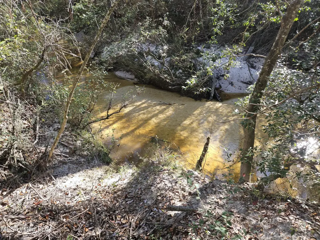
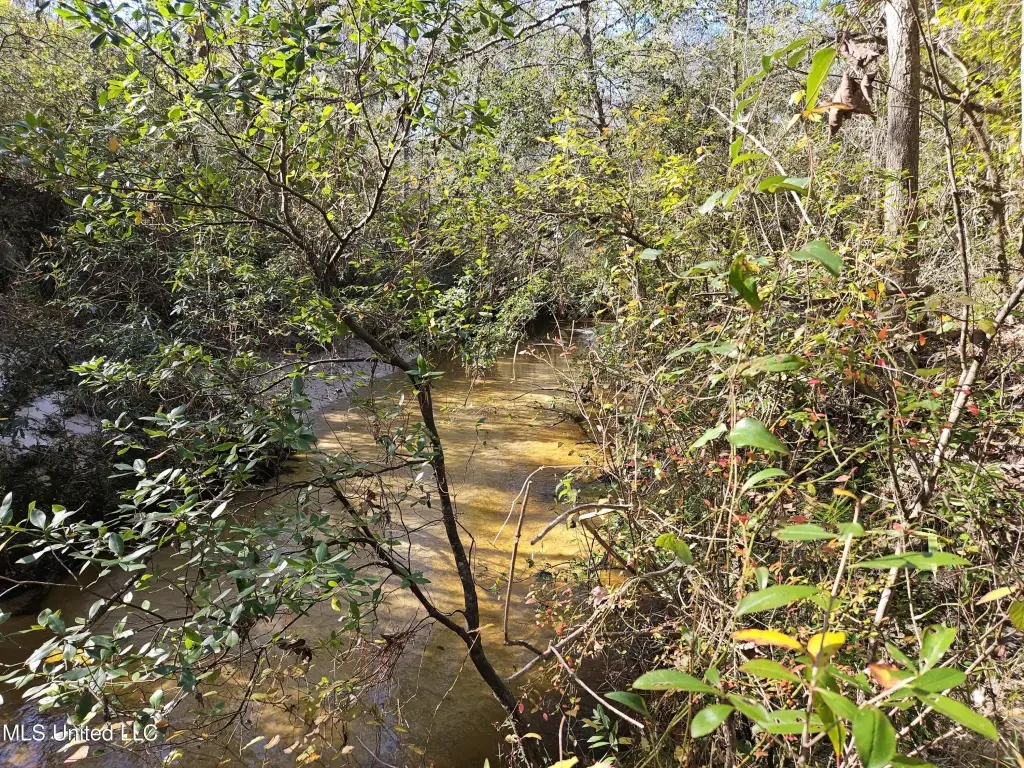
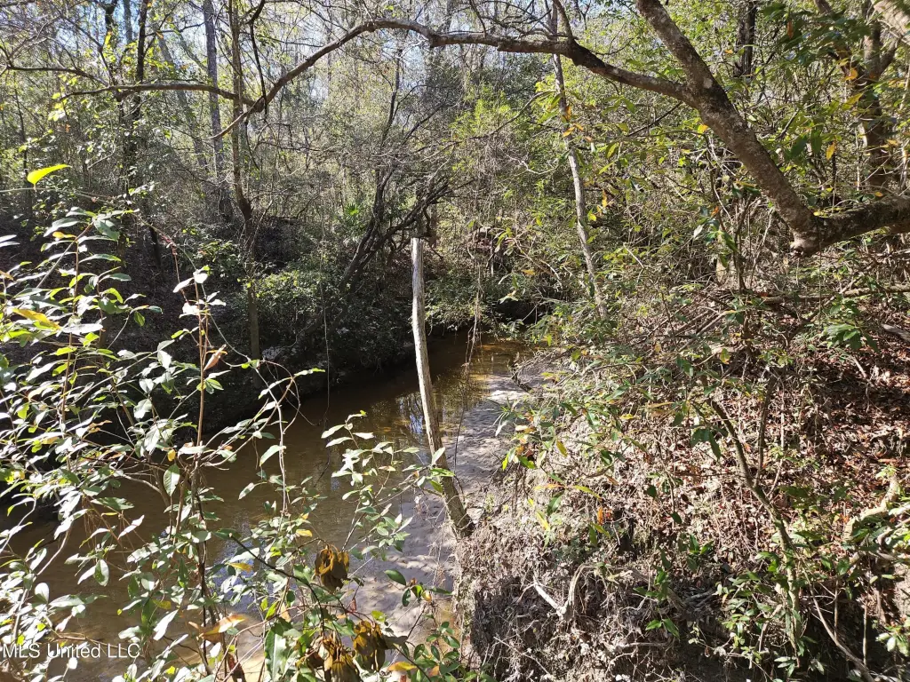
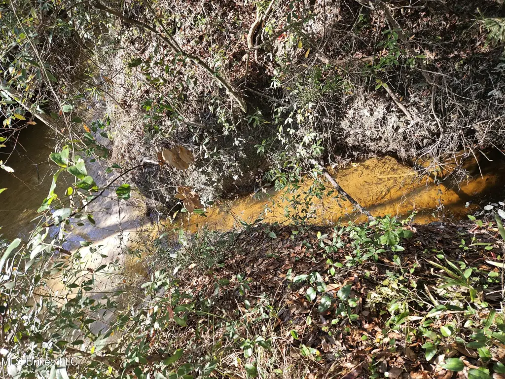
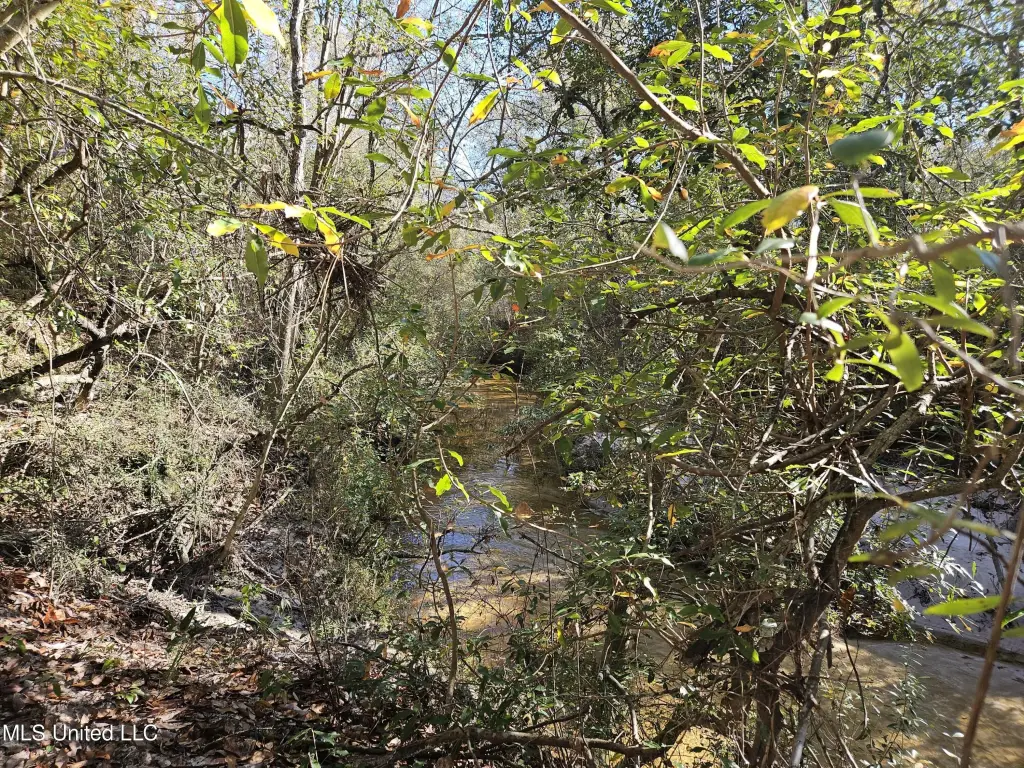
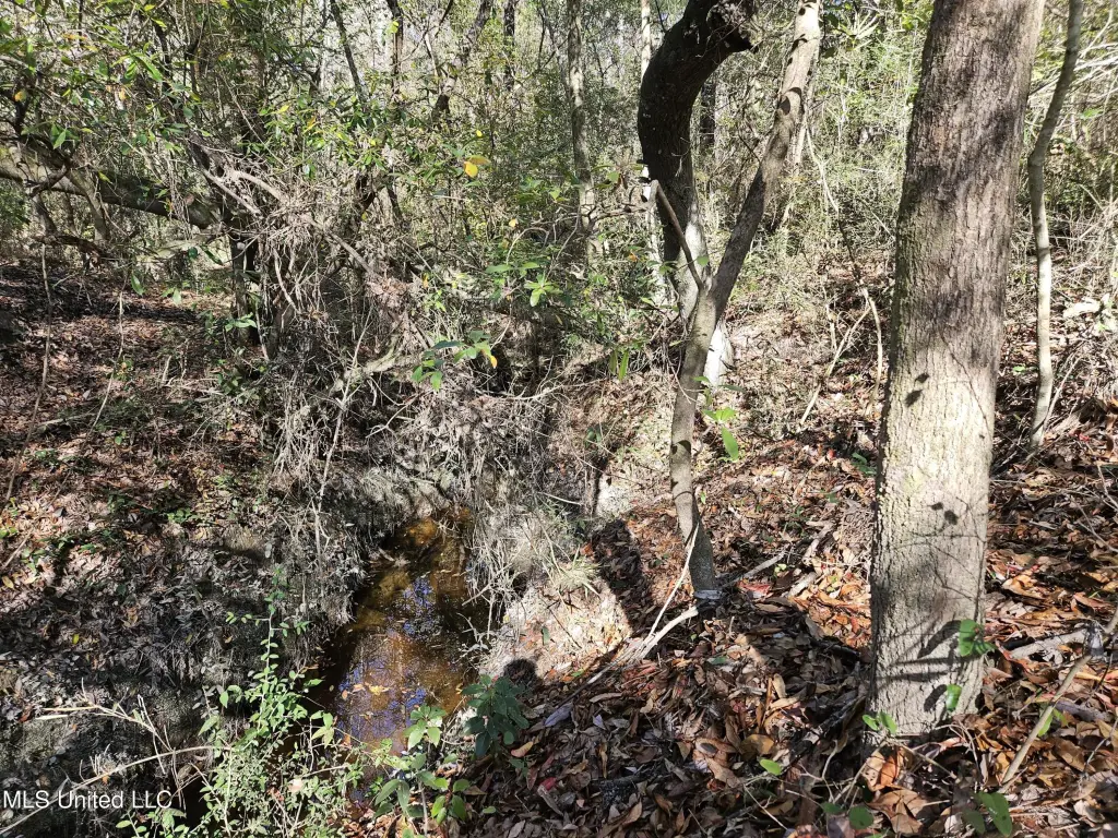
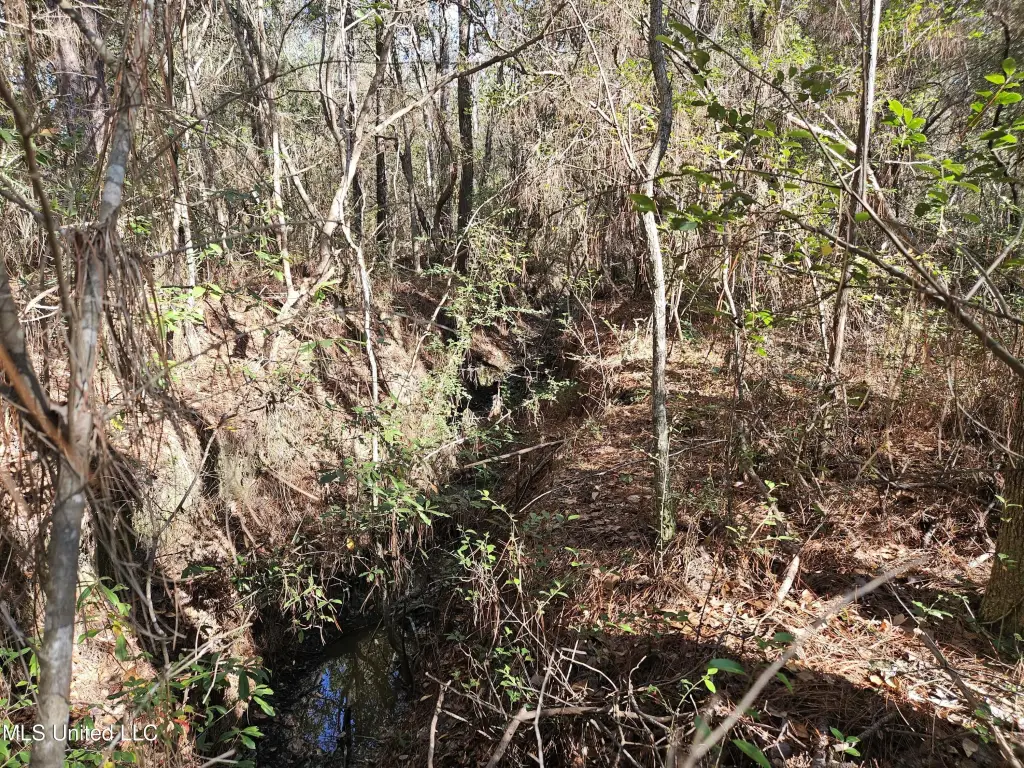
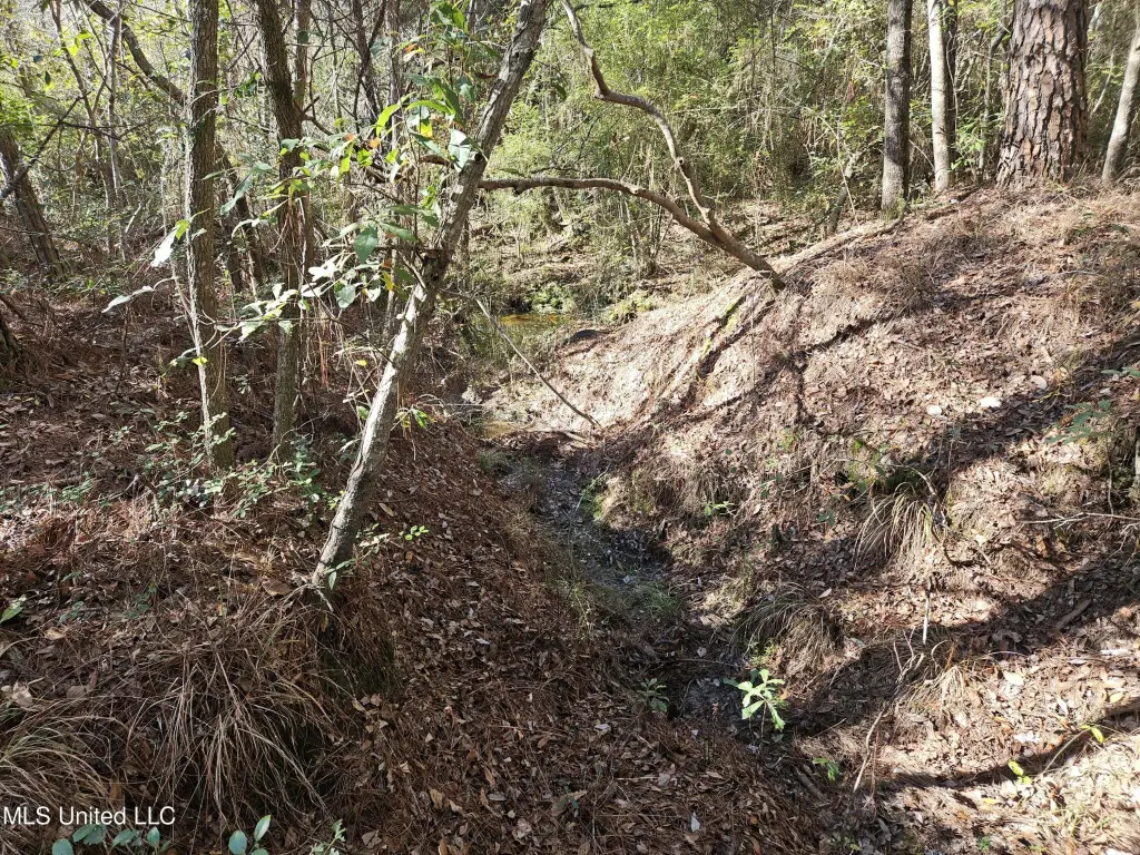
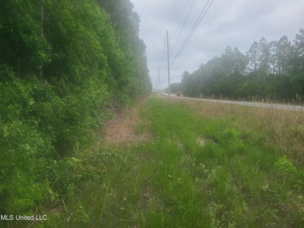
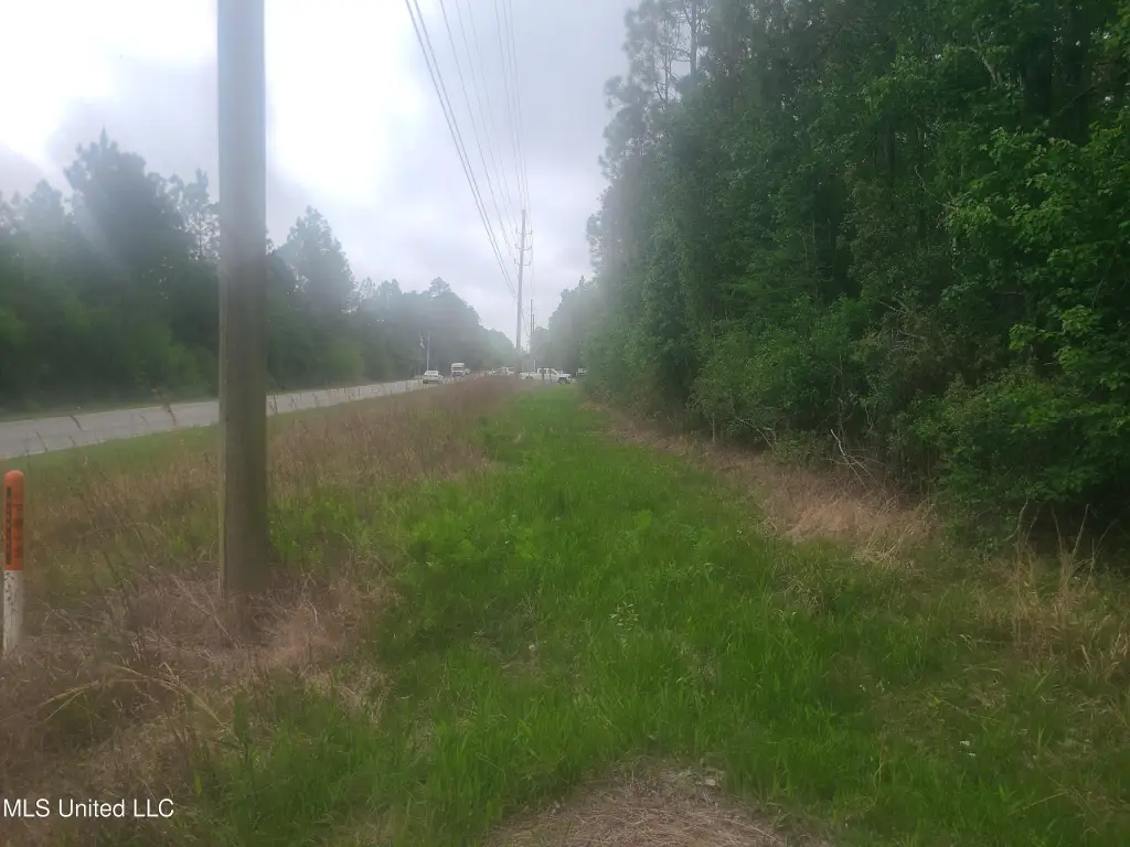
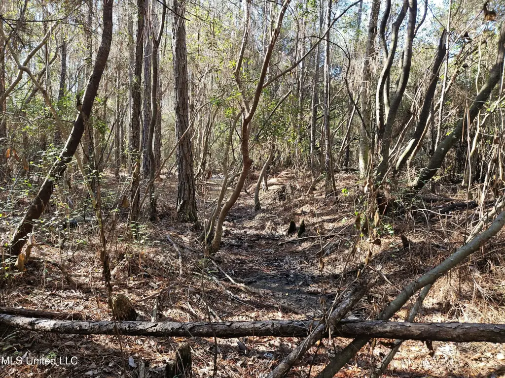
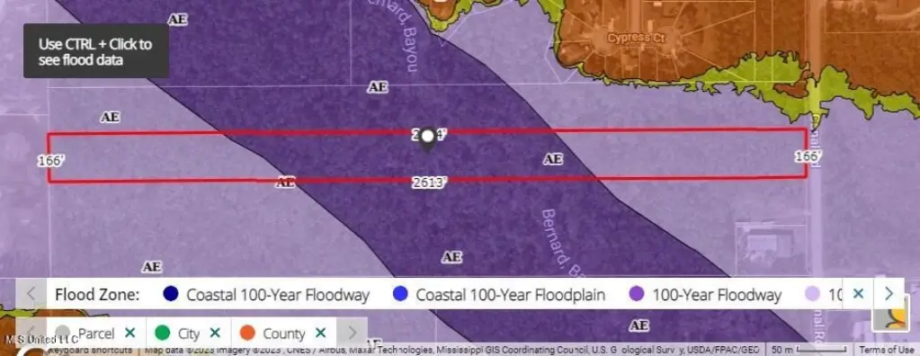
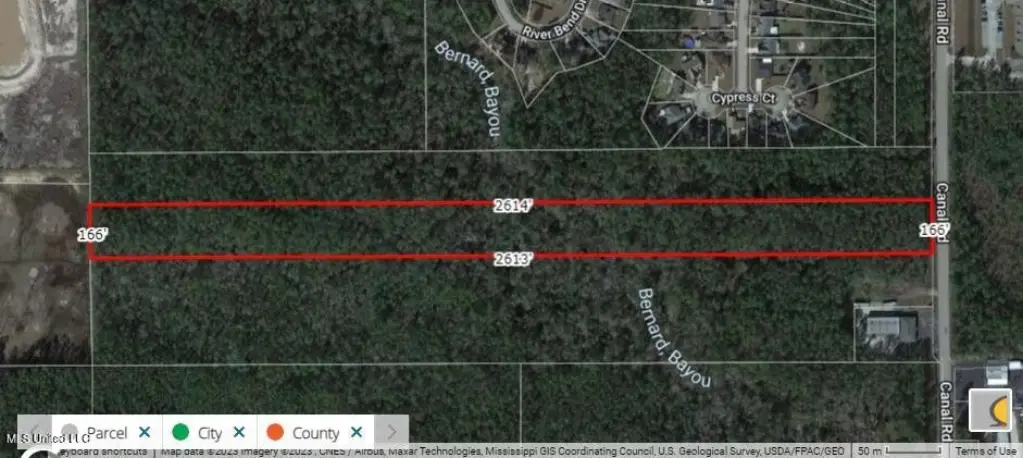
- 10‑acre waterfront hunting property on Bayou Bernard, with water frontage along the river
- Bayou Bernard forks just north of the property, with one channel flowing southwest and the other southeast before crossing the subject
- Public water available
- Public sewer available
- Cable available
Overview
The property is located in Gulfport, Mississippi, in Harrison County, with an address listed as Nhn Canal Road. Public remarks indicate Bayou Bernard runs in two directions after forking north of the site, with one flow heading to the southwest and the other heading to the southeast before both cross through the subject property.
For buyers seeking land for hunting with a natural water feature, the Bayou Bernard setting is the primary attribute described in the materials. Its waterfront configuration may appeal to outdoor recreation users looking for a property that includes water-adjacent areas and a defined bayou corridor. Prospective buyers should review the attached plat view referenced in the remarks to better understand the bayou’s fork and how both branches relate to the parcel layout.
Current Use by Public Records
Map
- City
- Gulfport
- County
- Harrison
- State
- Mississippi
- Longitude
- -89.137408
- Latitude
- 30.446766