Recreation Land with
For Sale
$895,000
NHN Adams Street, Alberton, MT 59820
Land, Alberton, MT
Property SizeContact for details
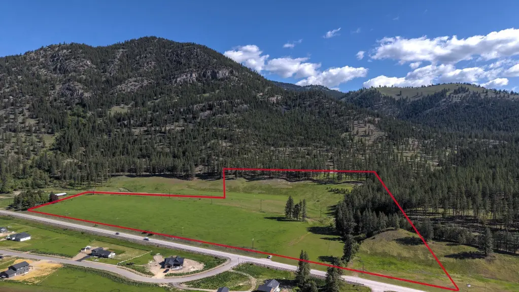
Lot Size40.38 Acres
Days on Market146
Property Features for NHN Adams Street
General Information
Property type
Land
Property subtype
Other
Lot features
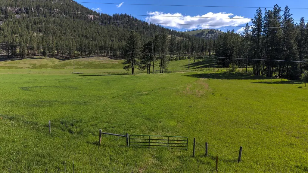
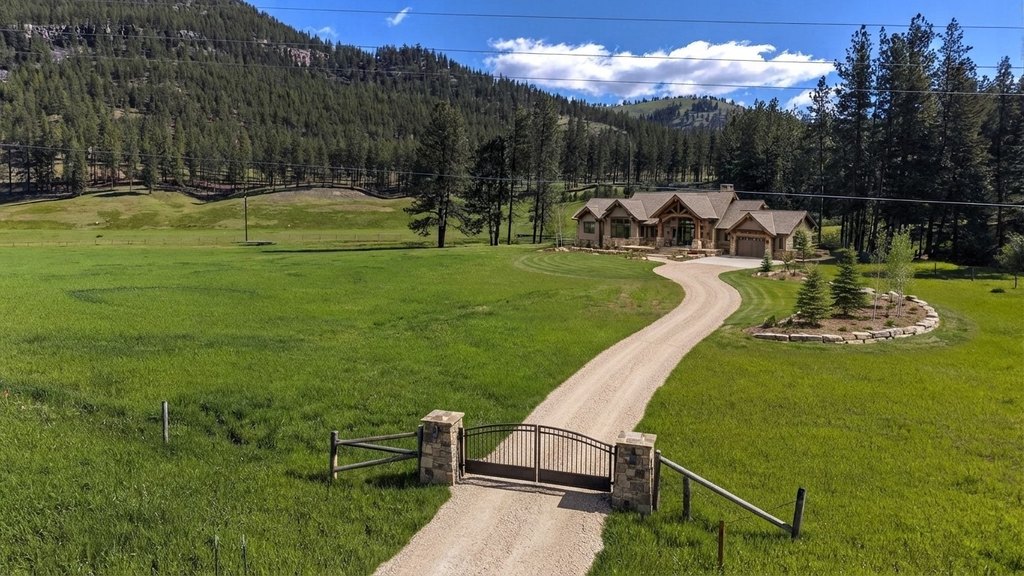
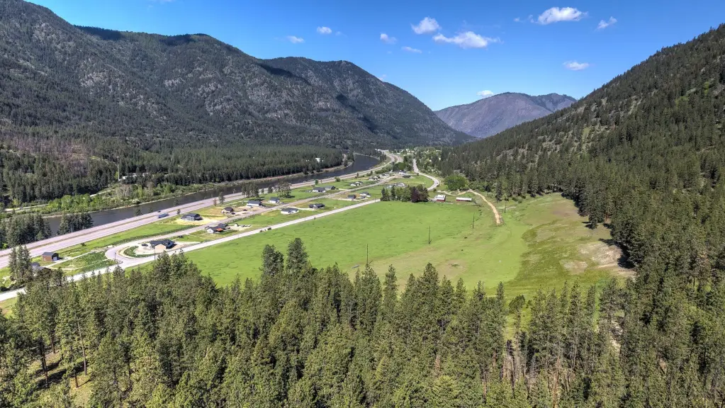
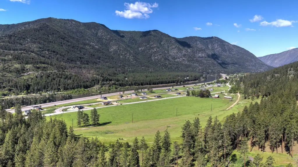
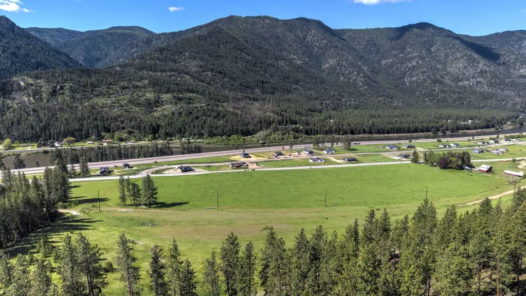
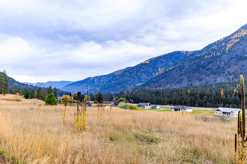
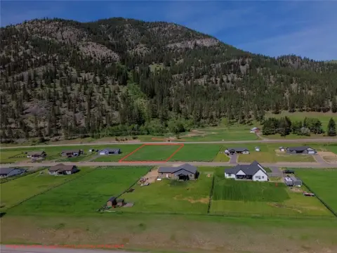
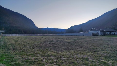
Gentle Sloping, Split Possible, Views, Level, Rolling Slope
View
Mountains
Directions
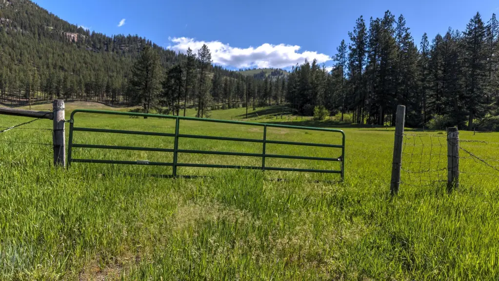
I-90 West, Exit 77 Petty Creek Road. Stay Right to Adams Street. Land is on the right behind the gate.
Standard status
Active
APN
54232201101300000
Lot size
40.38 Acres
Taxes and HOA fees
Tax Year
2025
Tax Description
S01, T14 N, R23 W, C.O.S. 655B, PARCEL TR8, ACRES 40.38, GOV LOT 11
Tax Annual Amount
284
Legal Description
S01, T14 N, R23 W, C.O.S. 655B, PARCEL TR8, ACRES 40.38, GOV LOT 11
Utilities
Water source
Well
Listing Agency:
Keller Williams Western MT · Keller Williams Realty
(406) 926-3434
Listed By:
Alana C Schaefer · License #RRE-BRO-LIC-73221
(406) 493-0066
Added: May 13
Changed: Sep 10
Last Checked: Oct 5 at 12:06PM
MLS# 30070743
Copyright © 2026 Montana Regional MLS. All rights reserved. All information provided by the listing agent/broker is deemed reliable but is not guaranteed and should be independently verified.
Investment Insights
Based on property information with market context.
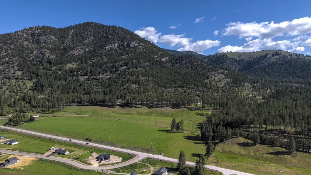
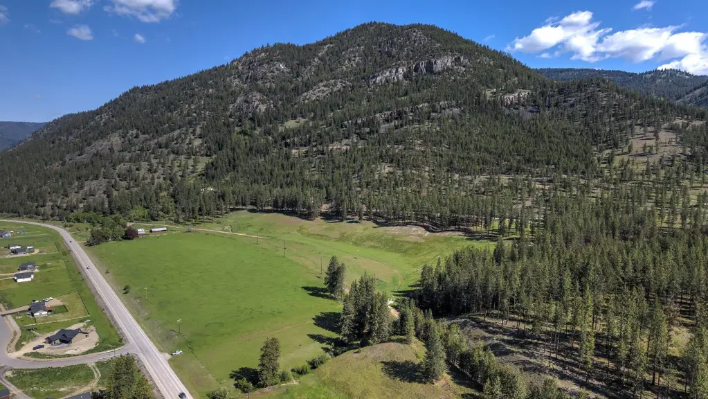
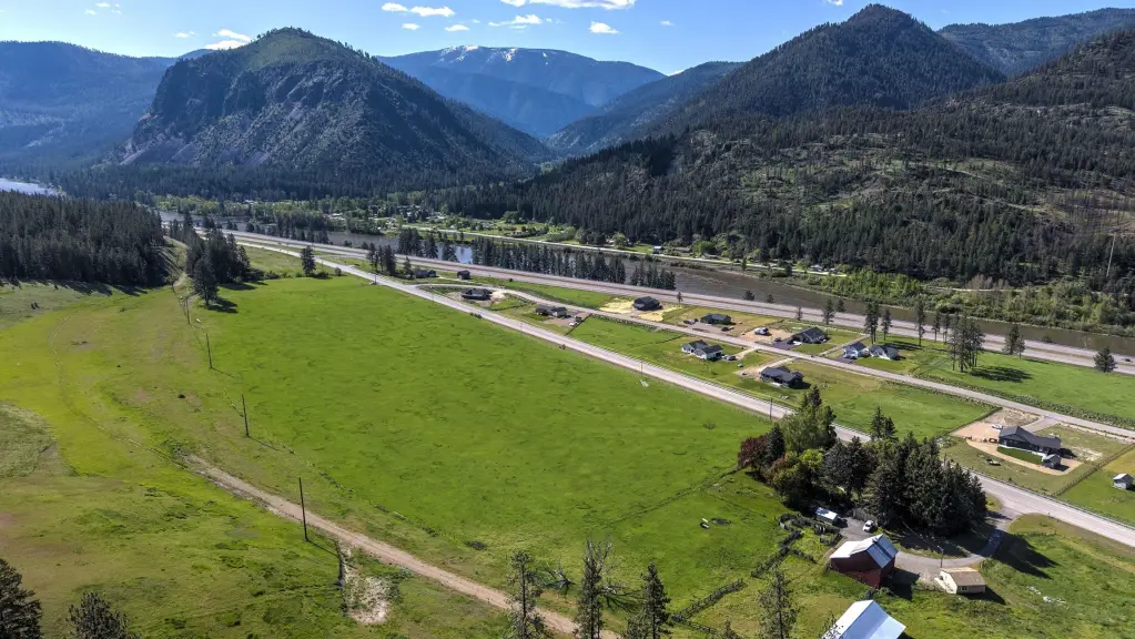
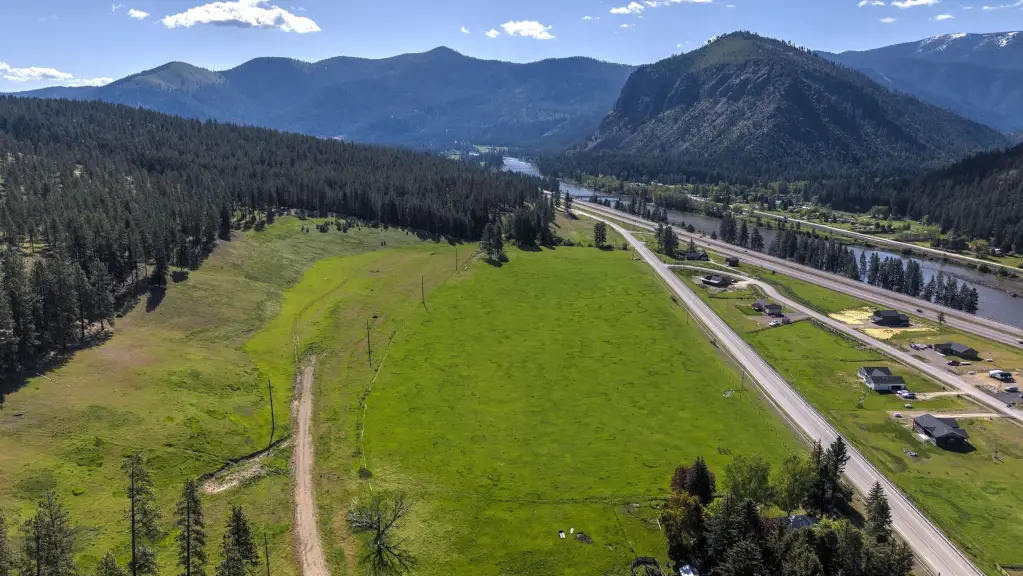
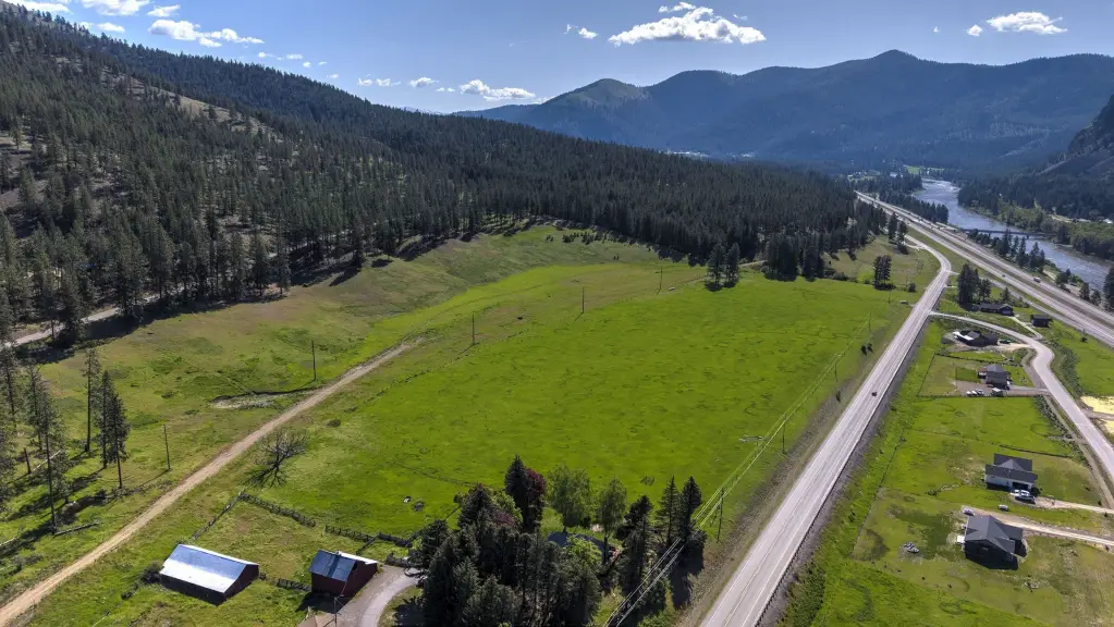
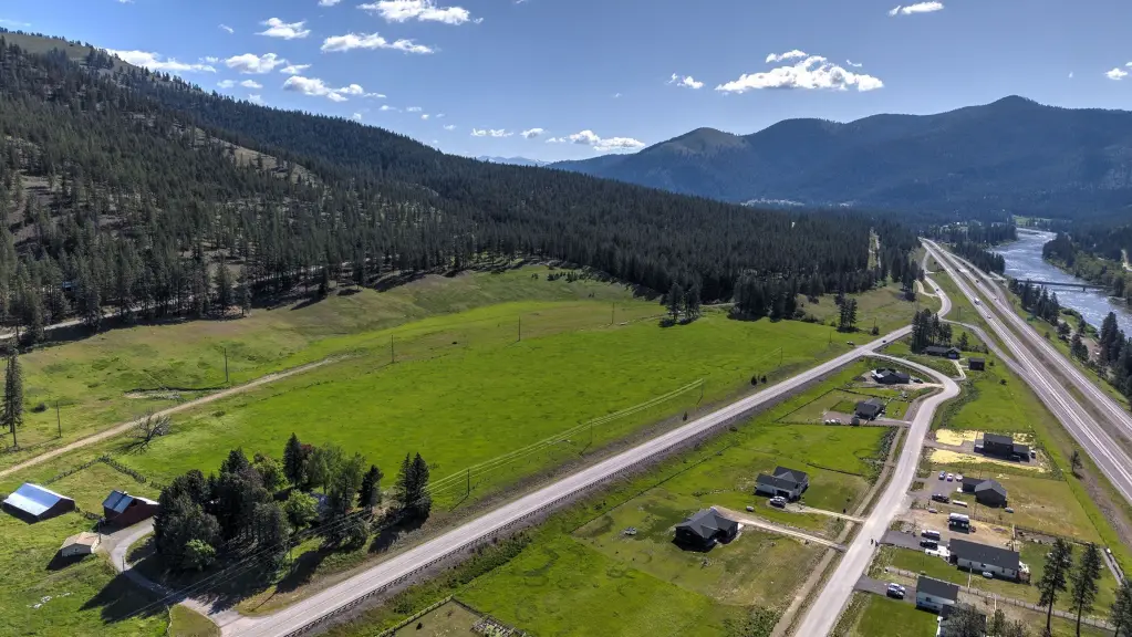
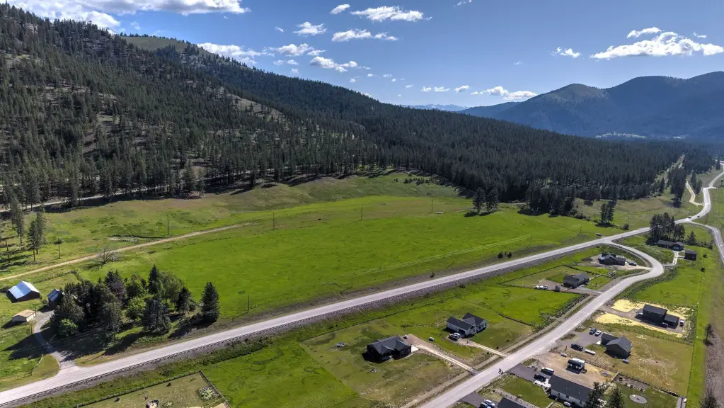
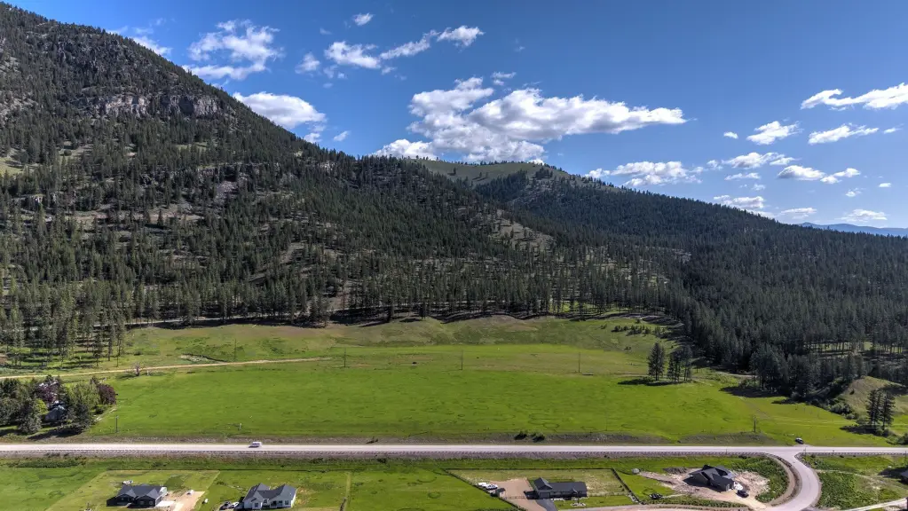
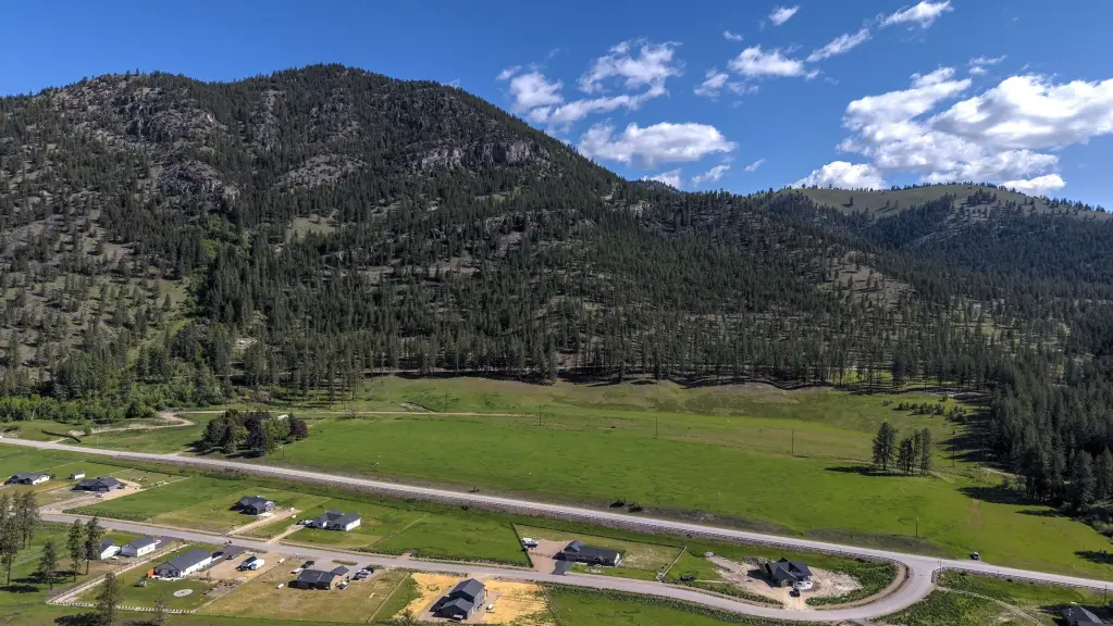
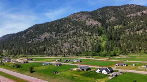
Recreation land tract totaling 40.38 acres in Mineral County, Montana, featuring varied topography and mountain views. The property includes a well that has already been dug, supporting potential on-site water needs for recreational use.
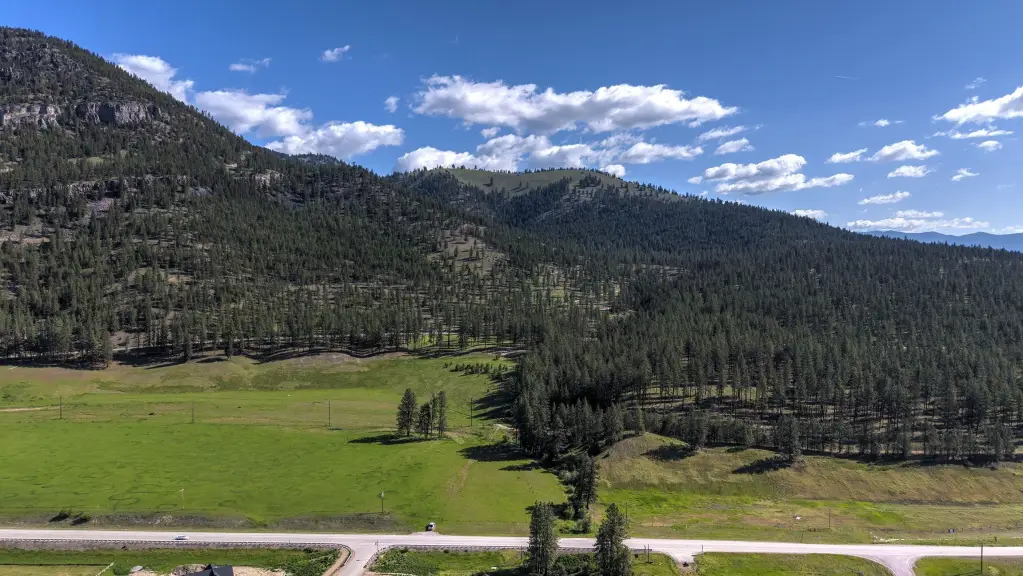
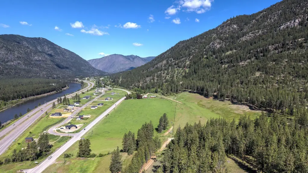
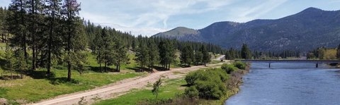
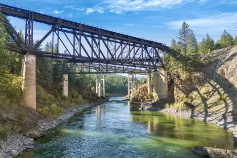
The land is minutes from the Clark Fork River and surrounded by thousands of acres of Lolo National Forest, with outdoor opportunities like fishing, hiking, and hunting nearby. It is also close to I-90 and within a short drive to Missoula.
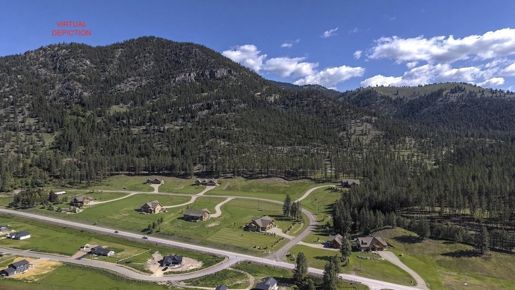
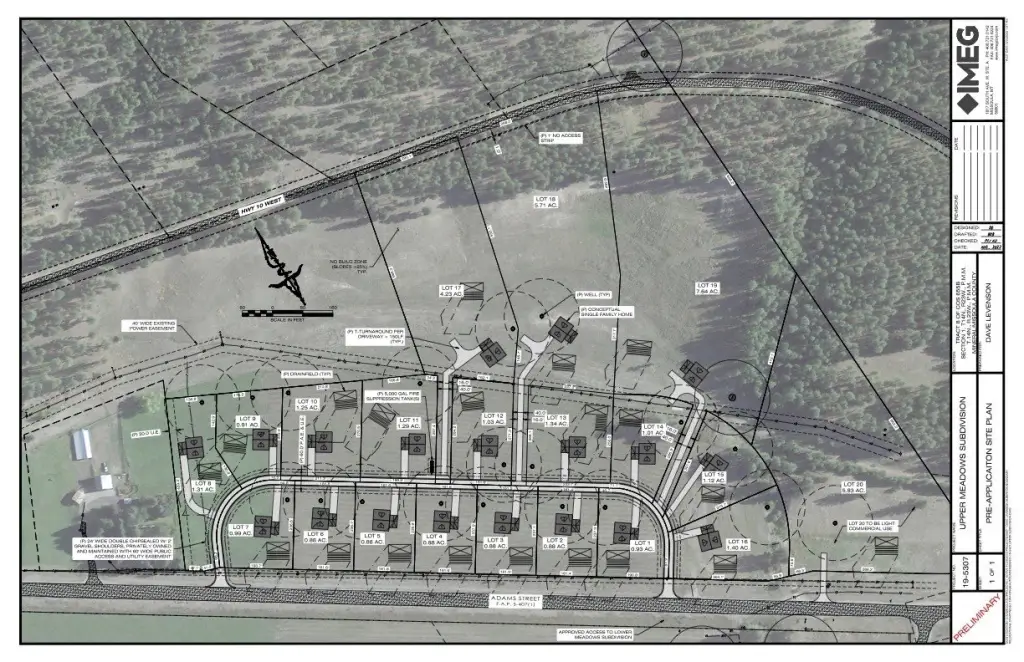
If you’re looking at residential or recreational development concepts, preliminary plans have been drawn for a potential subdivision with lots of various sizes, offering a starting point for next-phase planning.
The land is minutes from the Clark Fork River and surrounded by thousands of acres of Lolo National Forest, with outdoor opportunities like fishing, hiking, and hunting nearby. It is also close to I-90 and within a short drive to Missoula.
If you’re looking at residential or recreational development concepts, preliminary plans have been drawn for a potential subdivision with lots of various sizes, offering a starting point for next-phase planning.
Key Highlights
- 40.38‑acre recreation land tract in Mineral County, MT
- Well already dug on the property
- Minutes from the Clark Fork River
Property Analytics
Unlock full access to Insights
Subscribe to Realmo Intelligence
Open Analytics
Current Use
Location Intelligence
Trade Area within ½ mile
4
Businesses Nearby
Explore this area
Business Placement
Demographics for 59820, MT
1,562
Population
889
Households
1.8
Avg Household Size
45
Median Age
27%
College-Educated
96%
High-School Grad
372.1 sq mi
ZIP Area
4
Density / Sq Mi
$72,586
Median Household Income
$36,547
Median Earnings
$1,000
Median Rent
$332,000
Median Home Value
Check the figures for this property
Cap Rate, Value Estimation, Potential NOI and more
View Realmo Analytics

Questions? Ask Rey
Realmo’s AI knows this listing — price, zoning, demand, history. Ask anything.


Frequently Asked Questions
What type of property is this?
Land - Recreation tract with a drilled well and mountain views in Mineral County, near the Clark Fork River and I-90.
Where is this land located?
The property is located at NHN Adams Street Alberton, MT.
What is the asking price?
The asking price for this property is $895,000.
What are key features of this property?
This property features: 40.38‑acre recreation land tract in Mineral County, MT; Well already dug on the property; Minutes from the Clark Fork River