Multi-Use Timber Tract With
ED RUTLEDGE ROAD Calhoun, LA 71225
For Sale
$795,000
LAND - Calhoun, LA
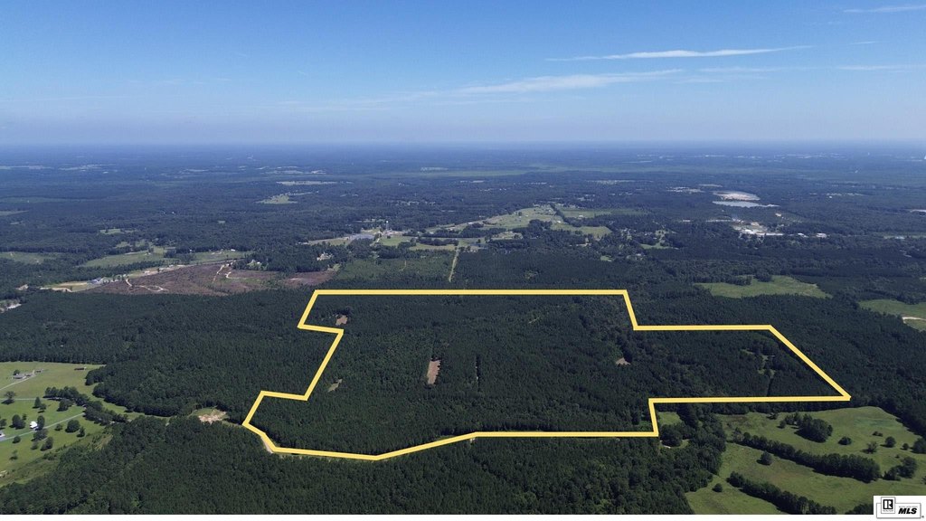
Lot Size216.00 Acres
Days on Market383
Property Features for ED RUTLEDGE ROAD
General Information
- Property type
- Land
- Property subtype
- Other
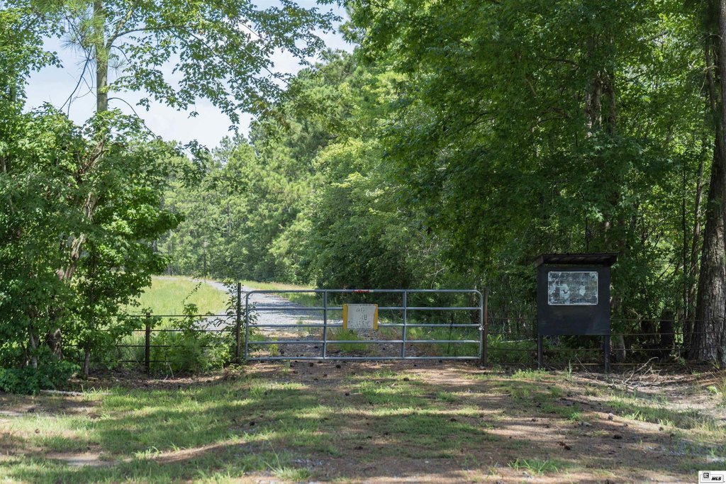
- Fencing
- Fenced
- Standard status
- Active
- APN
- 117462 et al
- Lot size
- 216.00 Acres
Taxes and HOA fees
- Tax Description
- 216 acres more or less located in in Sections 1, 2 & 11- T16N-R2E, Ouachita Parish, LA
Utilities
- Water front features
- Creek
Listing Agency:
United Country - Southern Stat
(601) 250-0017
Listed By:
Hunter Smith
(318) 245-6965
Added: Jul 8, 2025
Changed: Jul 9
Last Checked: Jul 25 at 5:06PM
MLS# 215652
Copyright © 2026 Northeast Louisiana Association of REALTORS. All rights reserved. All information provided by the listing agent/broker is deemed reliable but is not guaranteed and should be independently verified.
Investment Insights
Based on property information with market context.
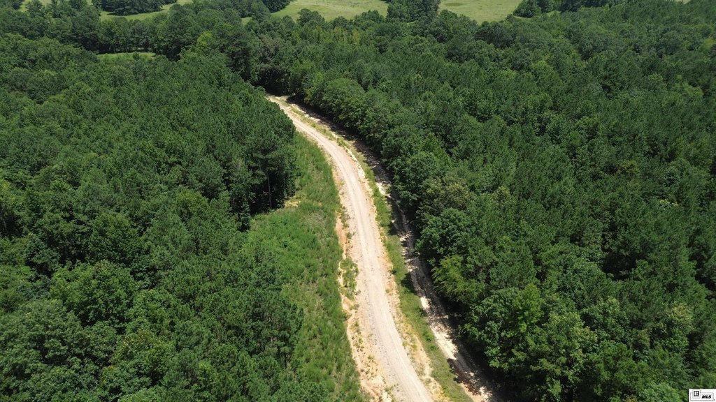
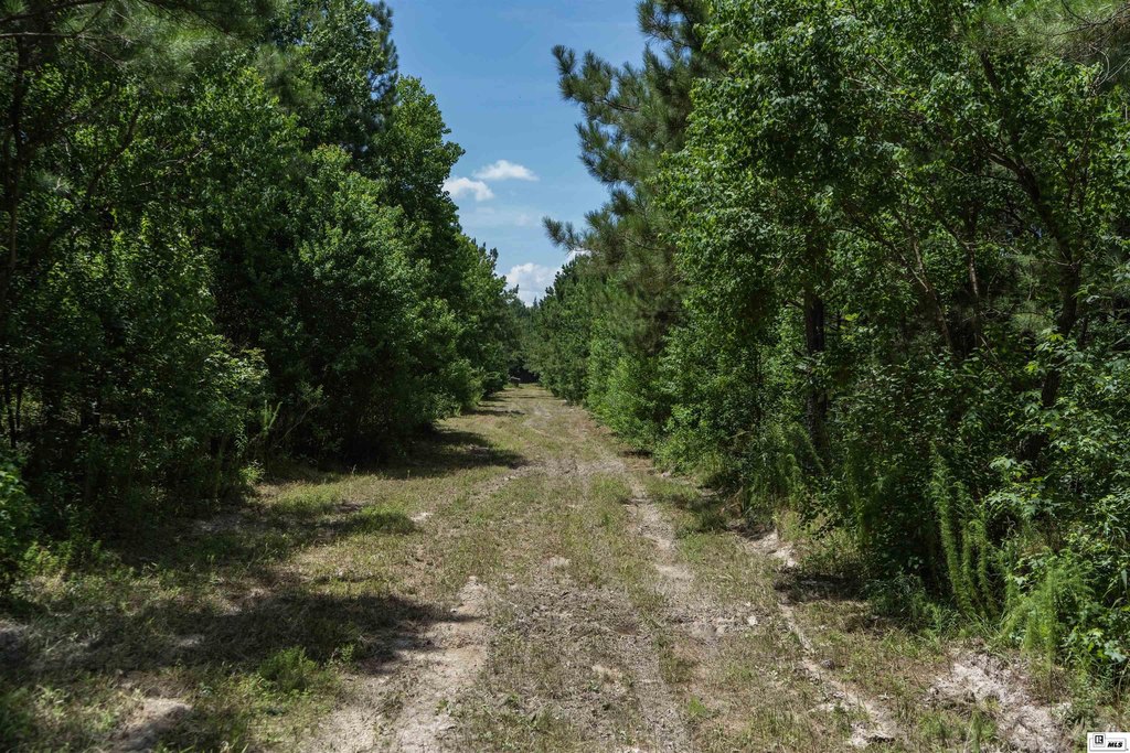
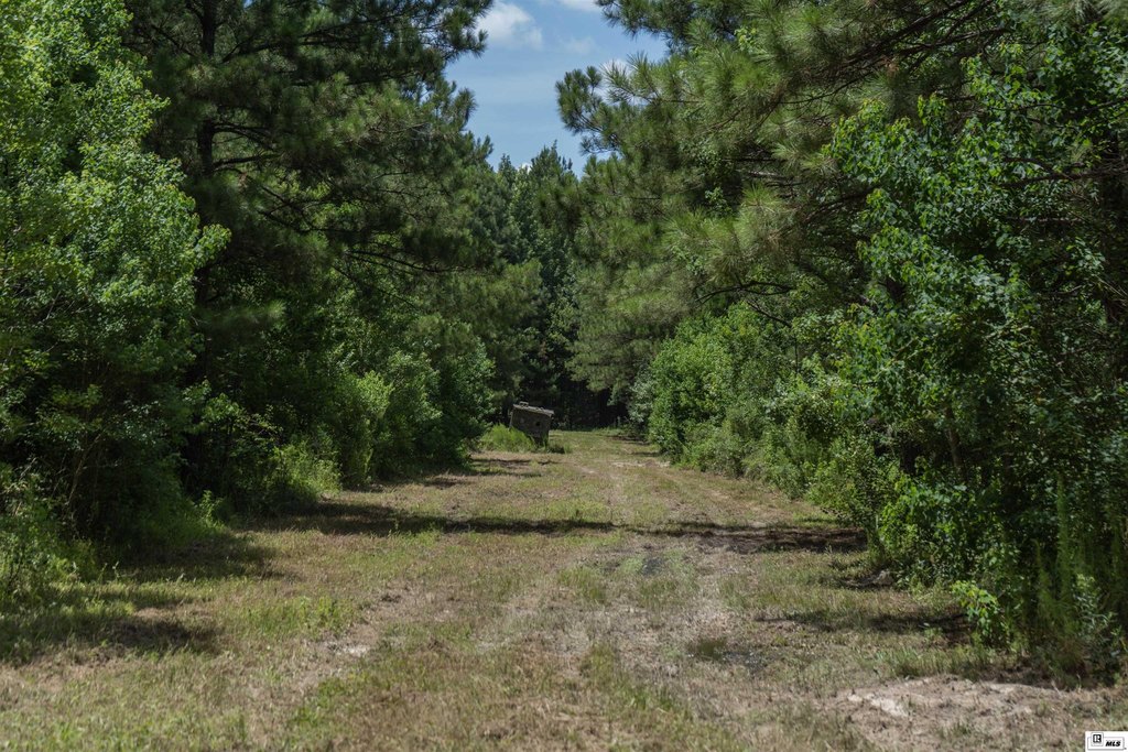
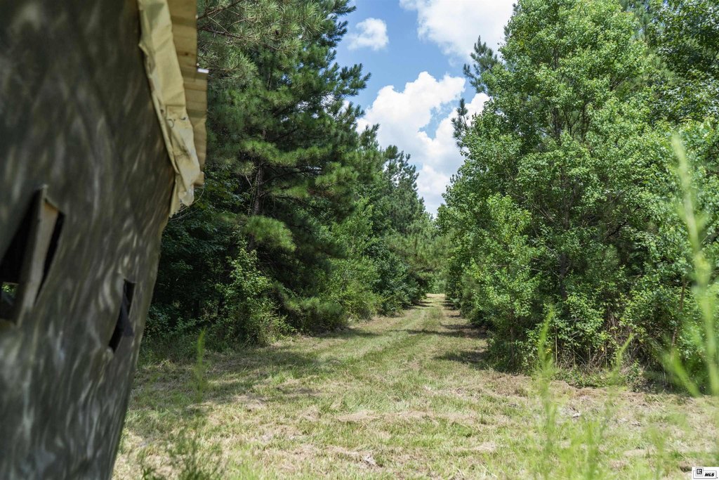
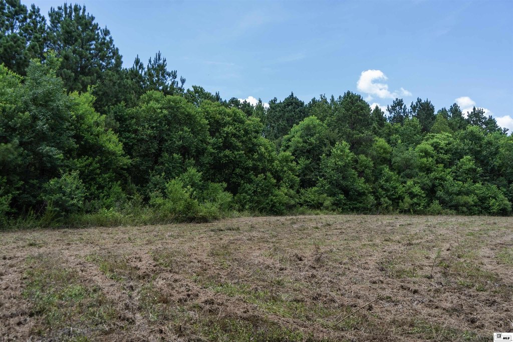
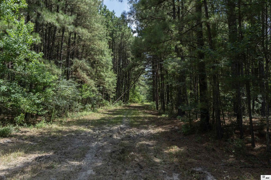
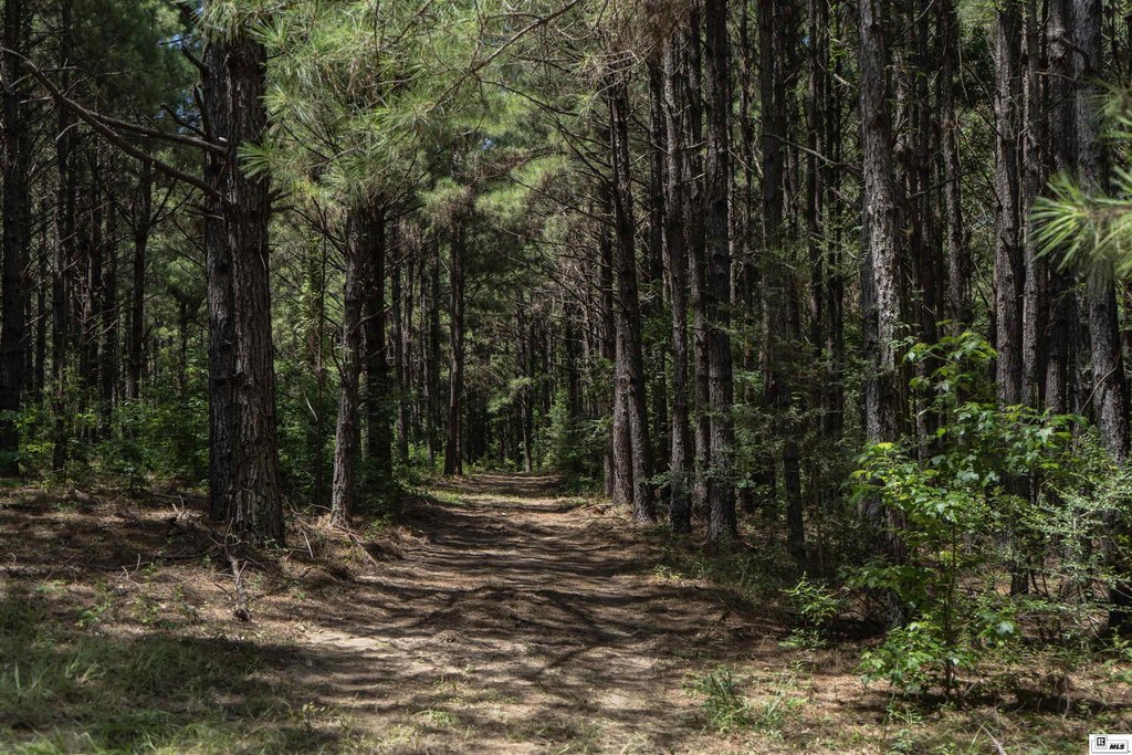
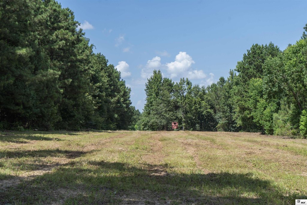
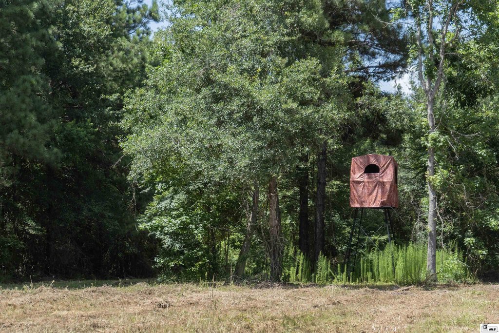
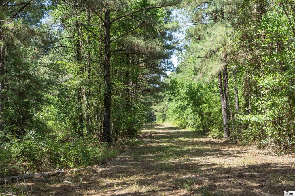
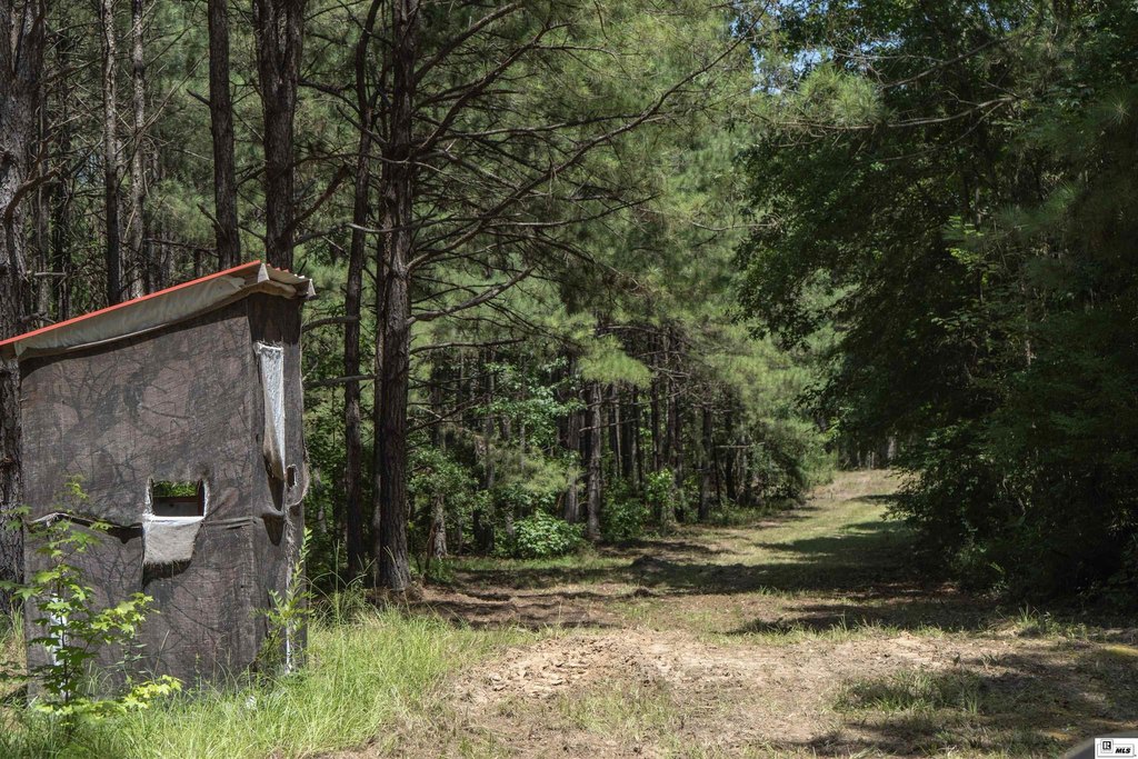
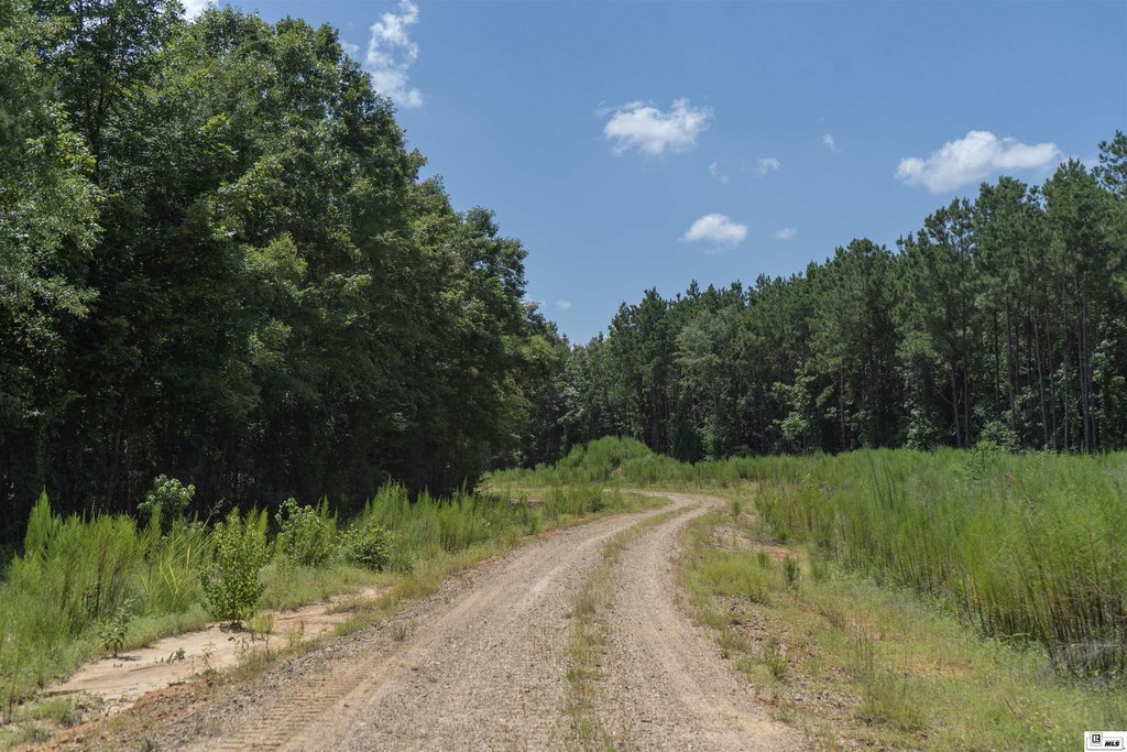
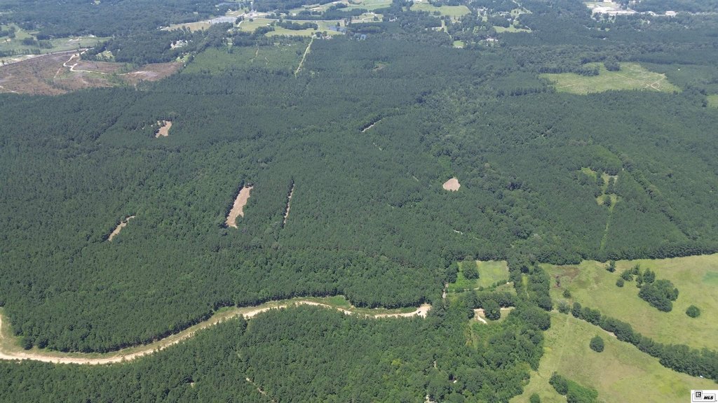
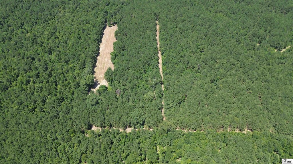
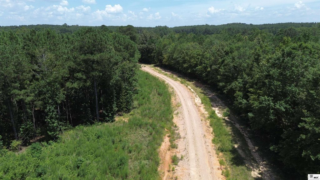
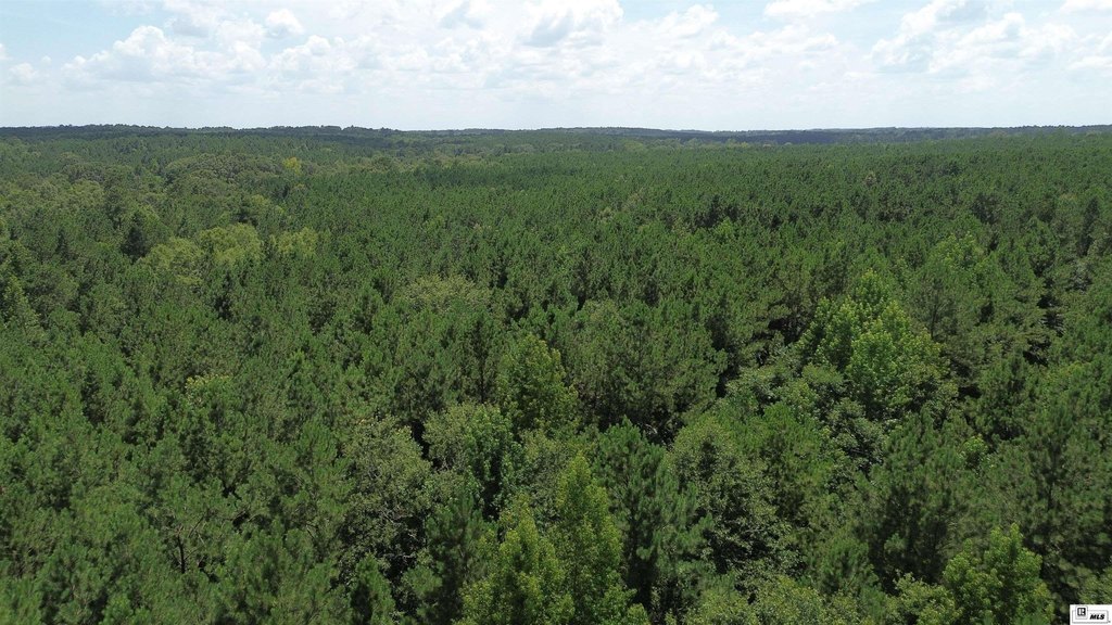
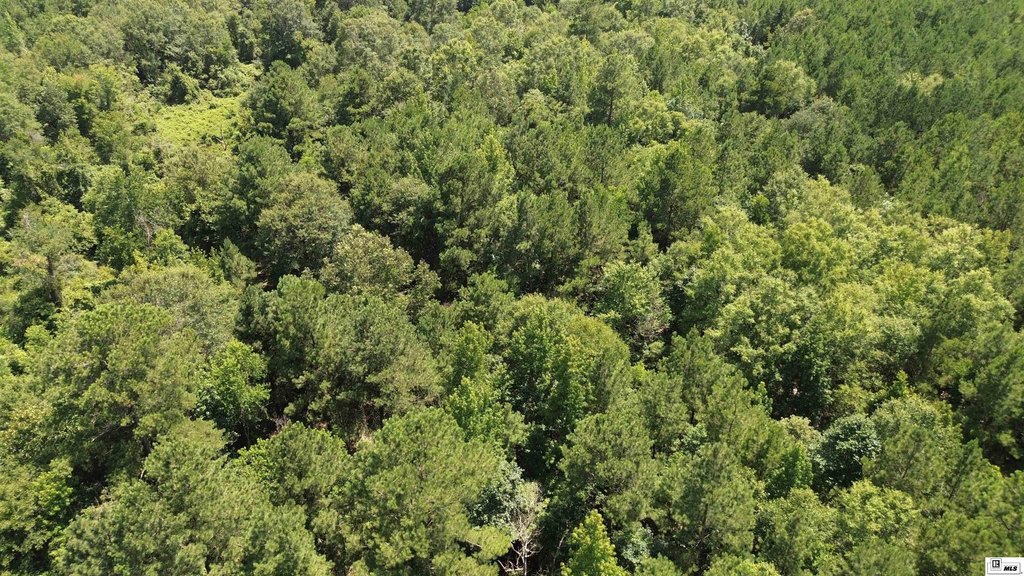
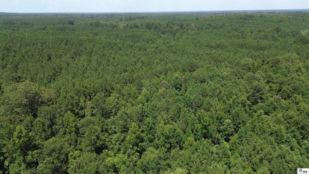
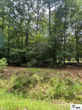
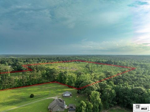
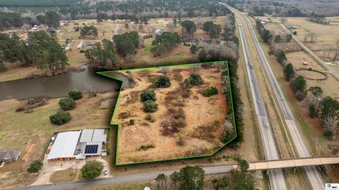
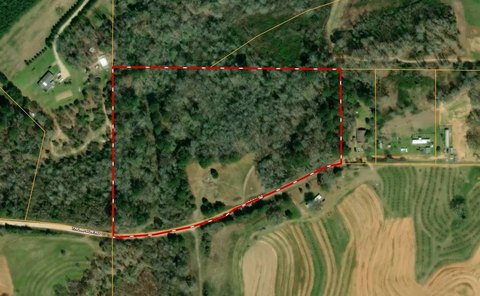
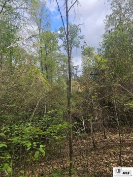
This well-maintained multi-use timber tract offers a mature mixed pine and hardwood stand with recreational and development opportunities. The property includes a well-established interior road system designed to support easy ingress and egress to multiple areas of the tract. It also features multiple food plot locations and natural water sources from creeks and drains.
The tract is located in the Lapine community of West Ouachita Parish, with convenient driving distances to West Monroe and Calhoun, as well as access to Ruston and Caney Lake. The property is offered as a single tract with a lot size of 216 acres and an established access framework throughout.
For buyers seeking timber and recreation in one asset, the combination of mature timber, road connectivity, and game-supporting features may support hunting and outdoor use. The presence of creeks and drains also presents potential for future water-oriented improvements such as fishing pond or lake construction, subject to buyer planning and local requirements. This tract is positioned for owners who want functional access and a managed timber/recreational layout in a single purchase.
Key Highlights
- Multi‑use timber tract with waterfront features including creek(s)
- Fenced property with a well‑maintained, established interior road system for ingress/egress
- Volunteer mature mixed pine and hardwood timber stand
Property Analytics
Location Intelligence
Current Use by Public Records
Hunting land


FAQs
What type of property is this?
Hunting land - Well-maintained timber acreage with established interior roads and recreational features supported by creeks and drains.
Where is this hunting land located?
The property is located at ED RUTLEDGE ROAD Calhoun, LA.
What is the asking price?
The asking price for this property is $795,000.
What are key features of this property?
This property features: Multi‑use timber tract with waterfront features including creek(s); Fenced property with a well‑maintained, established interior road system for ingress/egress; Volunteer mature mixed pine and hardwood timber stand


