Hunting Timberland
For Sale
$259,900
County Road 6030, Salem, MO 65560
Land, Salem, MO
Property SizeContact for details
Lot Size80.00 Acres
Days on Market53
Property Features for County Road 6030
General Information
Property type
Land
Property subtype
Other
Zoning
Residential
Lot features
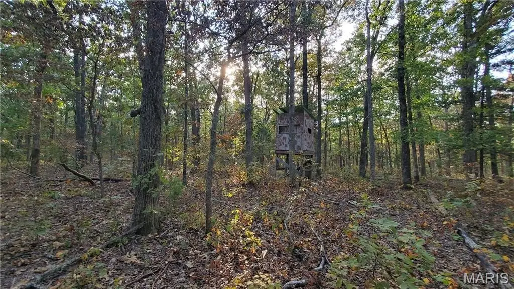
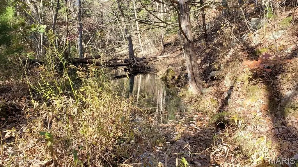
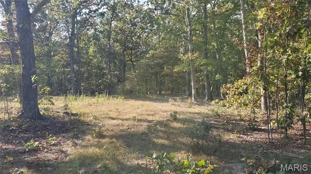
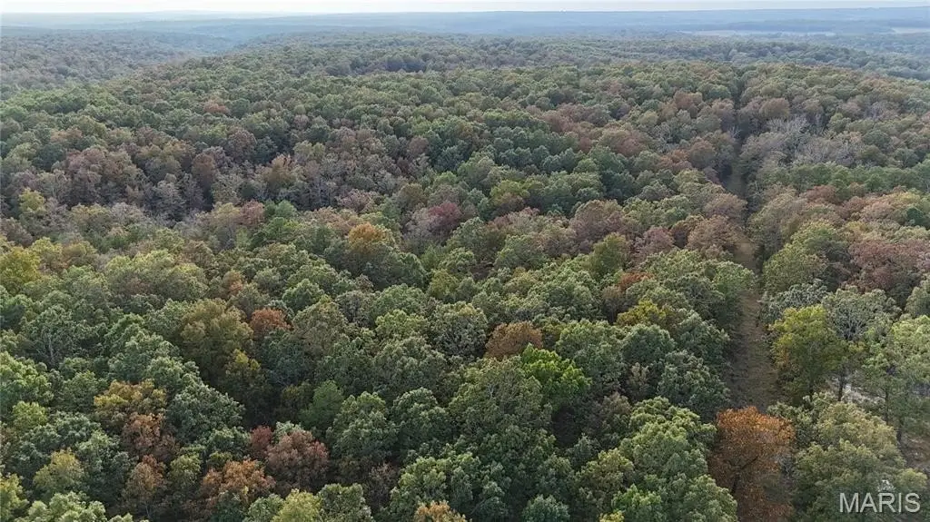
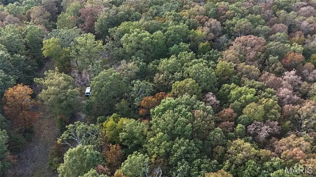
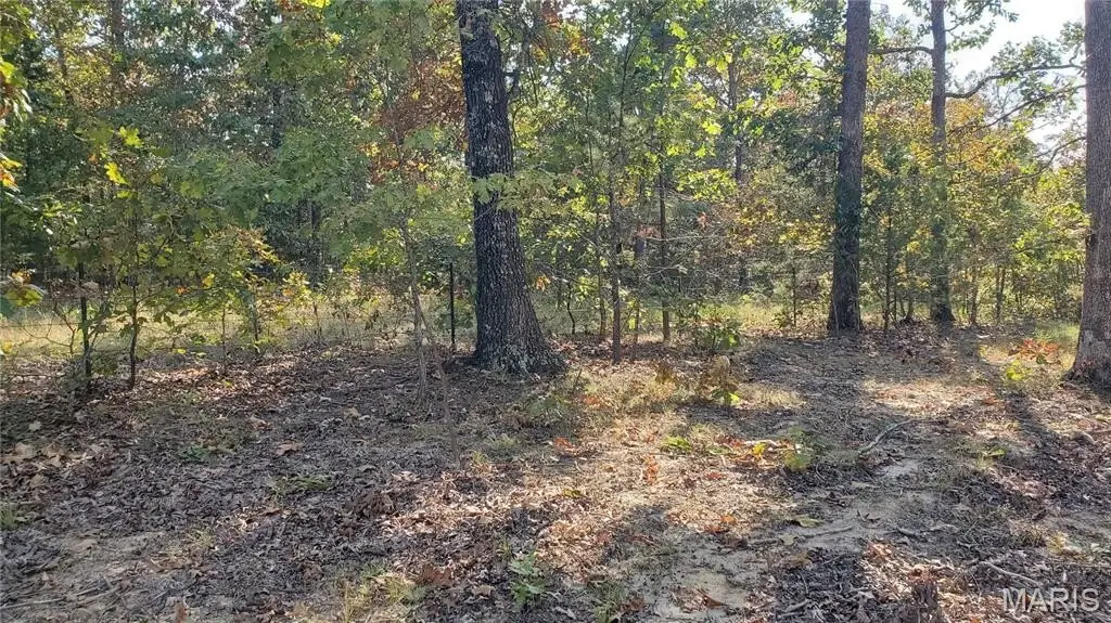
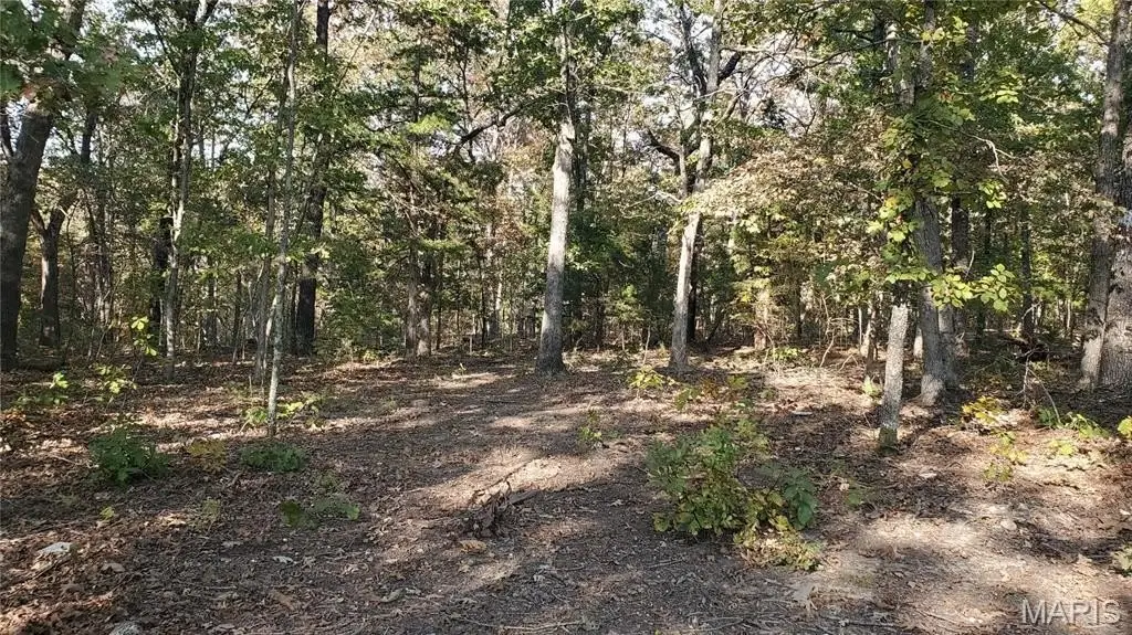
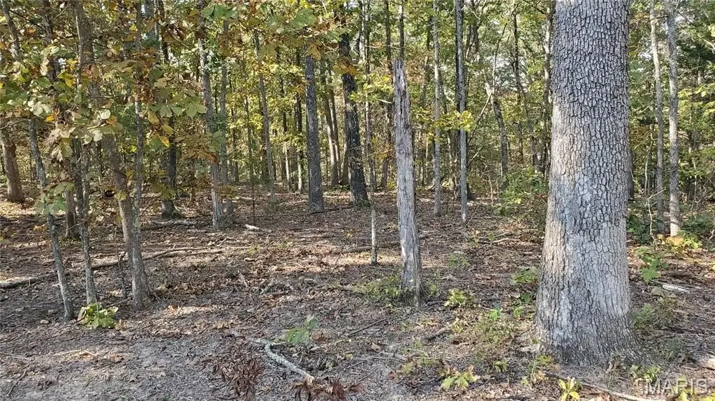
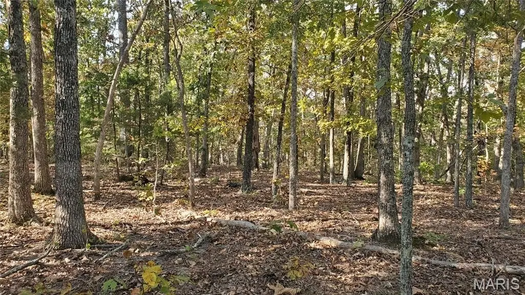
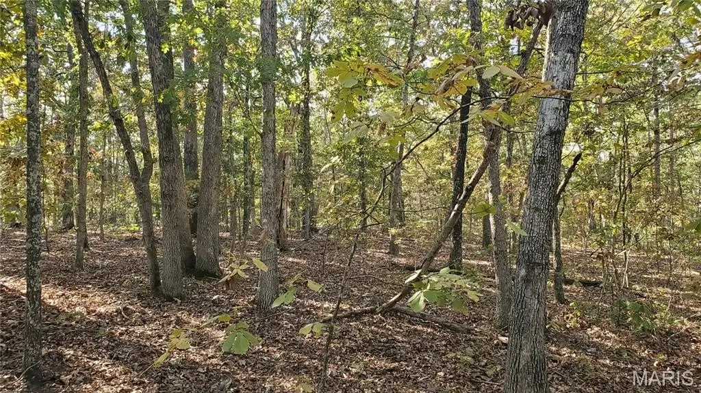
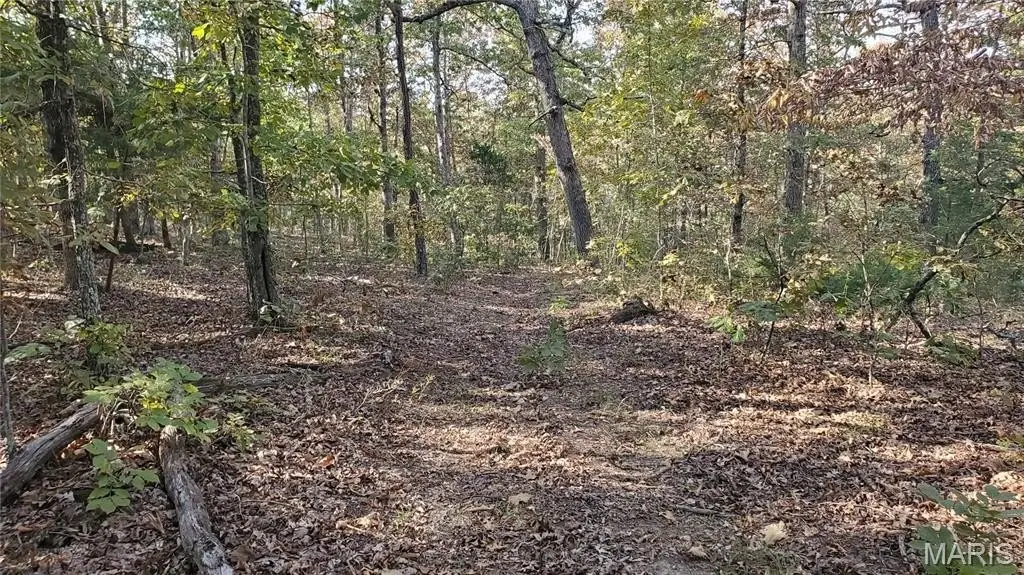
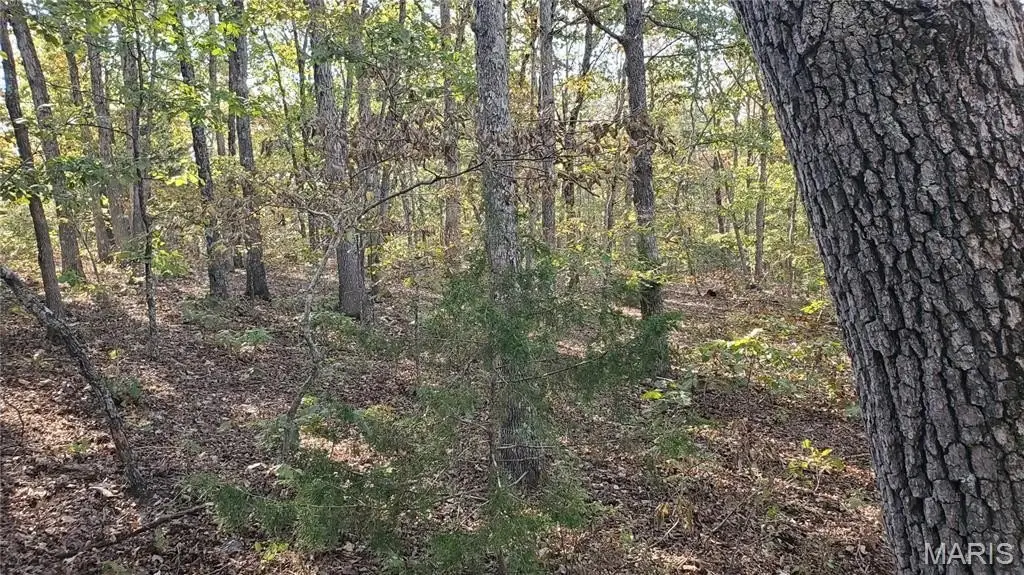
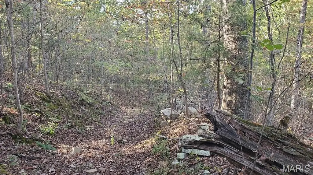
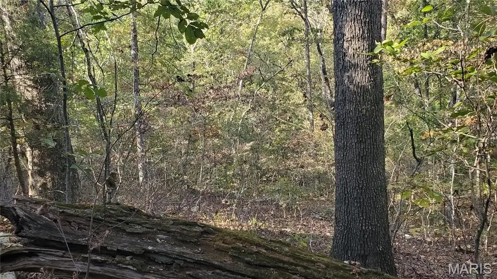
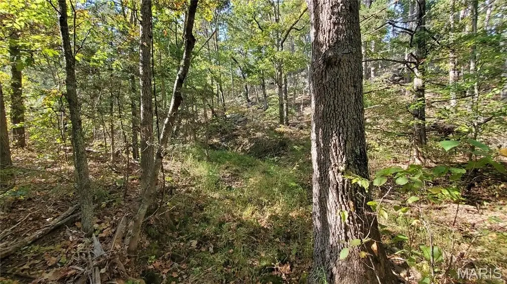
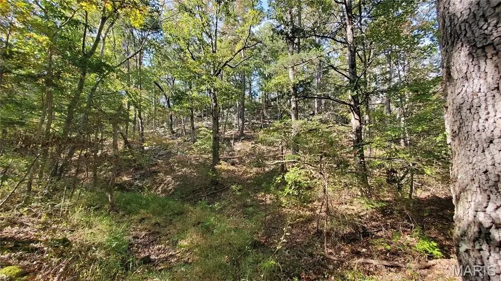
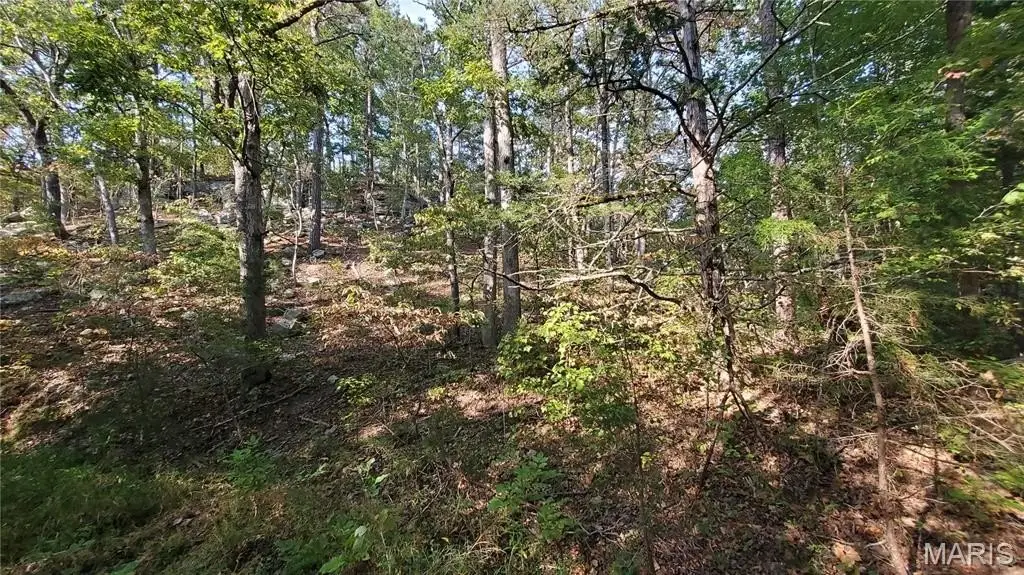
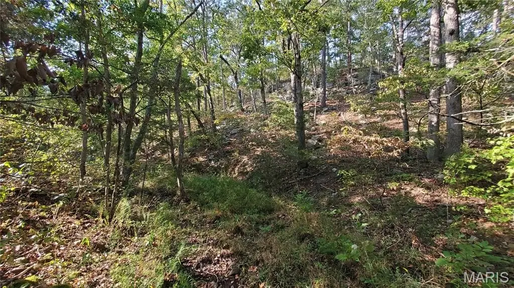
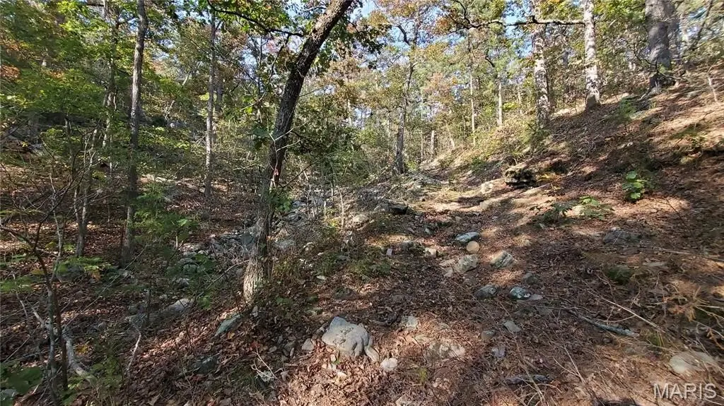
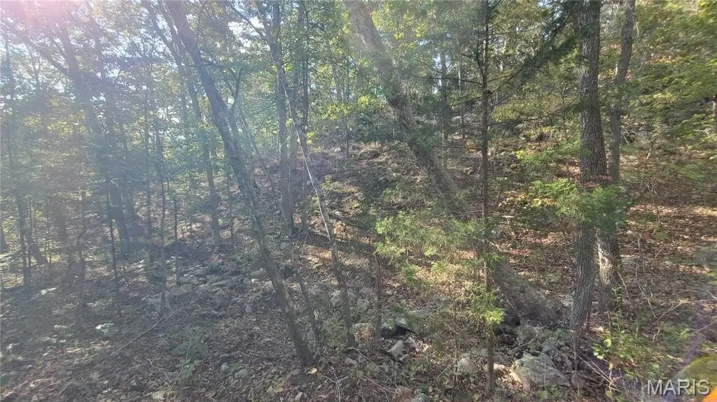
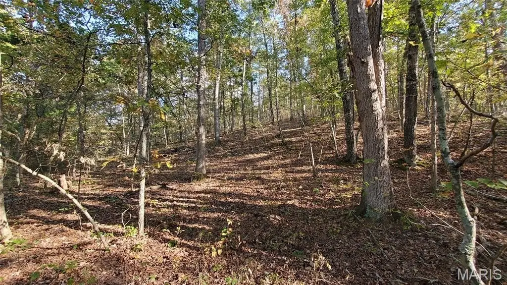
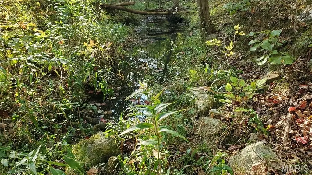
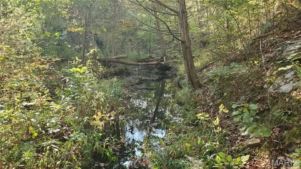
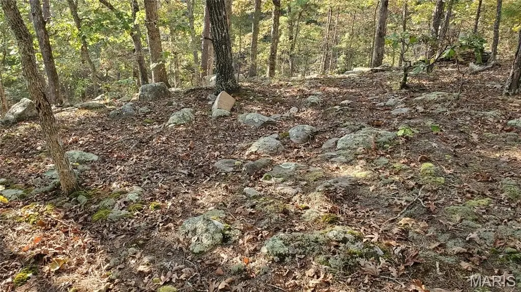
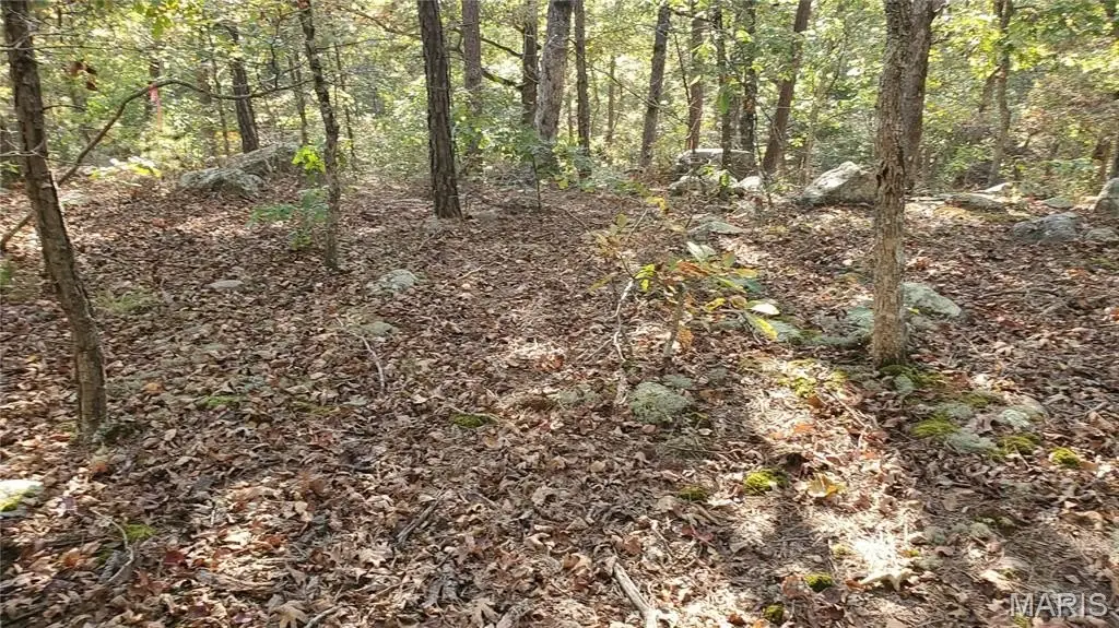
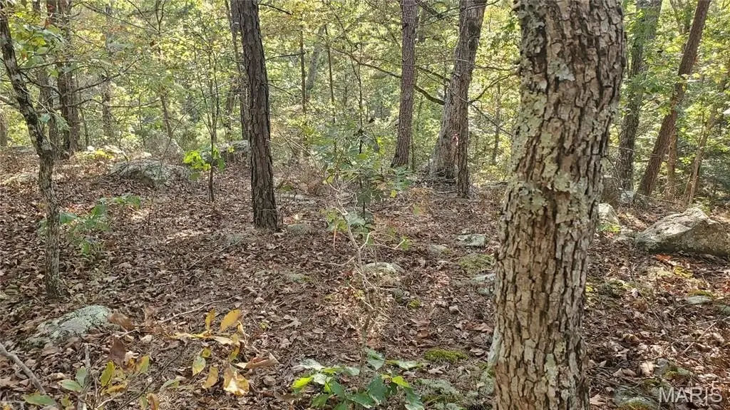
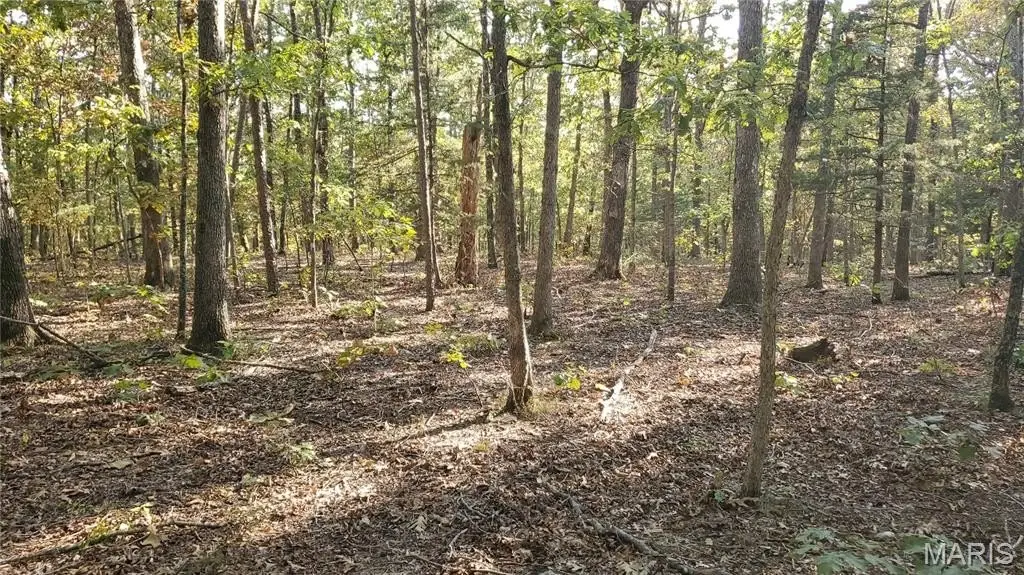
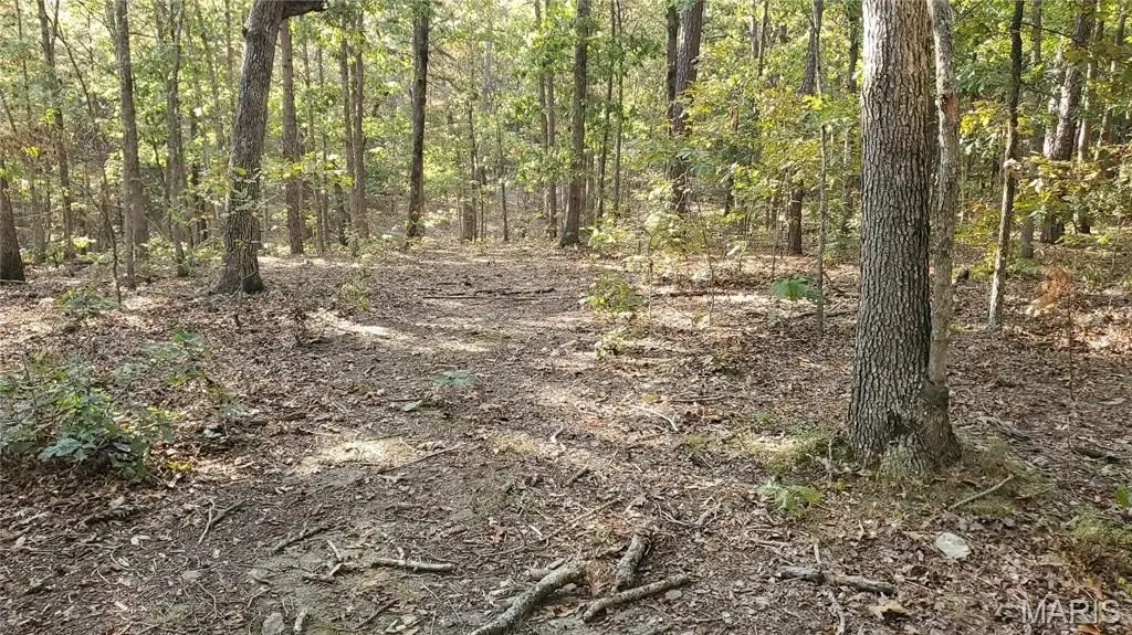
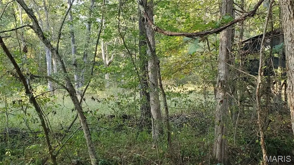
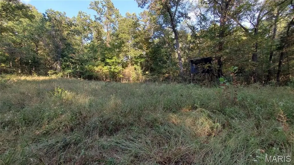
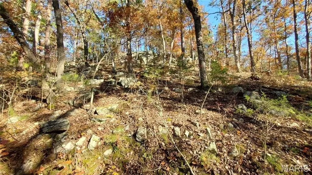
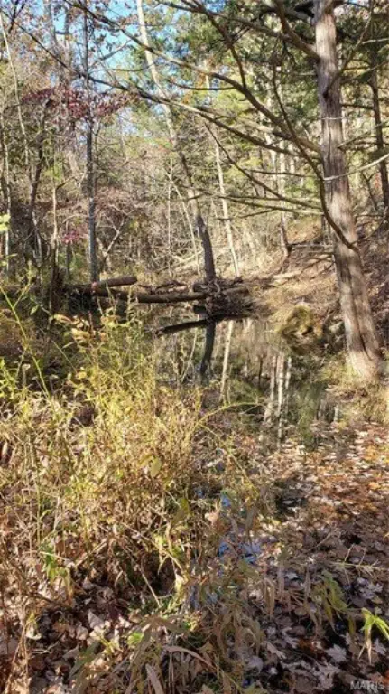
Heavy Woods, Many Trees, Rolling Slope, Secluded, Spring on Lot, Wooded
Elementary school
Green Forest Elem.
Middle school
Green Forest Elem.
High school
Salem Sr. High
Elementary school district
Green Forest R-II
Middle school district
Green Forest R-II
High school district
Green Forest R-II
Directions
From Salem - Hwy 32 West 11 miles to South on 119 towards Montauk for about 3-4 miles and right on CR 6020 for about 1 mile to right on CR 6030 (no CR-sign) property on the left after a short distance - follow the signs. Thanks
Subdivision
799 - Salem
Standard status
Active
APN
16-8.0-28-0-00-003.000
Lot size
80.00 Acres
Taxes and HOA fees
Tax Year
2024
Utilities
Utilities
Electricity Available
Listing Agency:
VIP Properties
(573) 729-7622
Listed By:
Richard Pogue · License #1999035257
(573) 729-7622
Added: Jul 7
Changed: Aug 19
Last Checked: Aug 28 at 5:06AM
MLS# 25064526
Copyright © 2026 South Central Board of Realtors-MO. All rights reserved. All information provided by the listing agent/broker is deemed reliable but is not guaranteed and should be independently verified.
Investment Insights
Based on property information with market context.
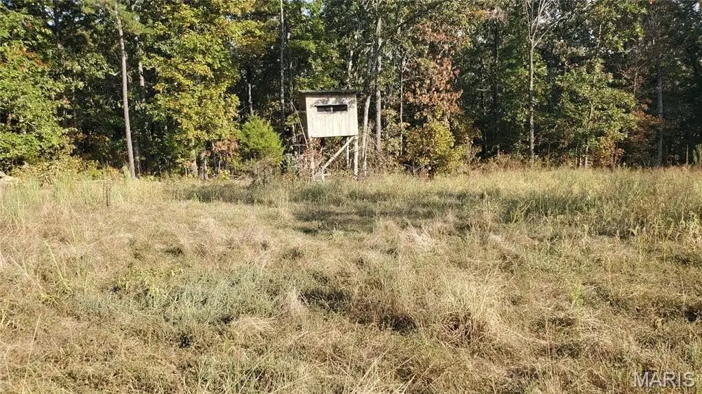
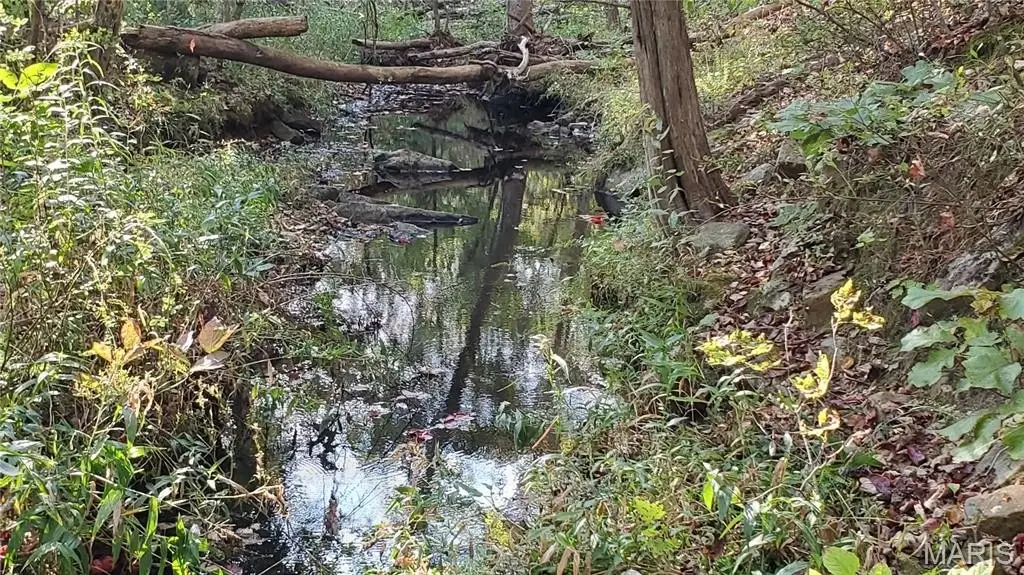
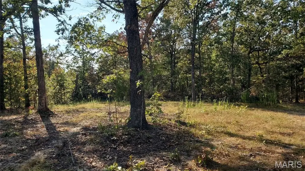
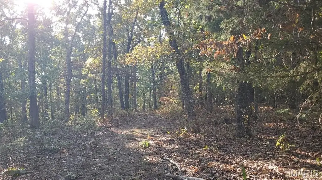
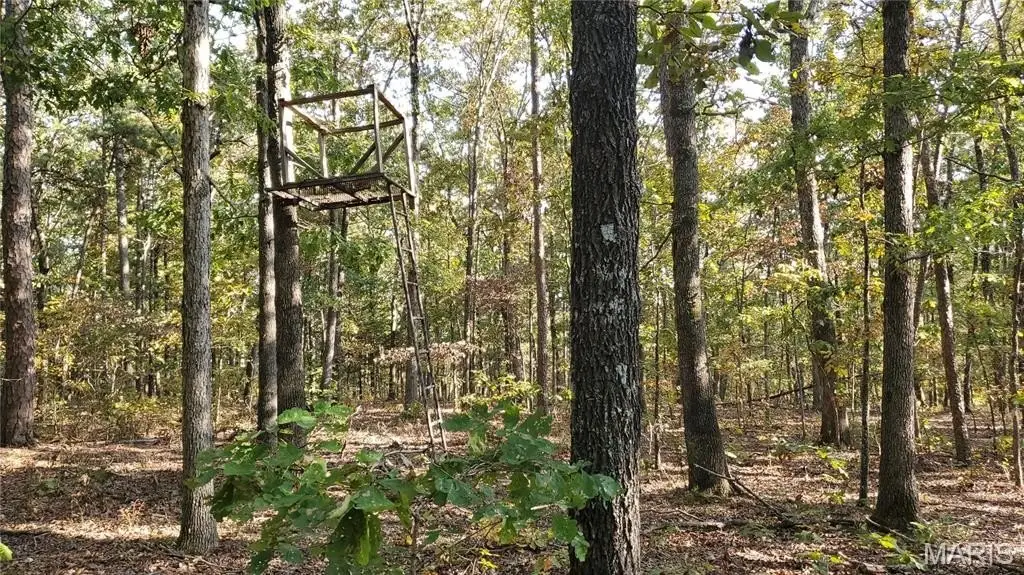
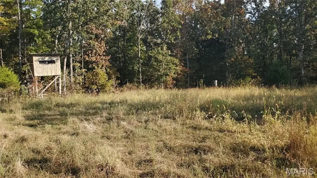
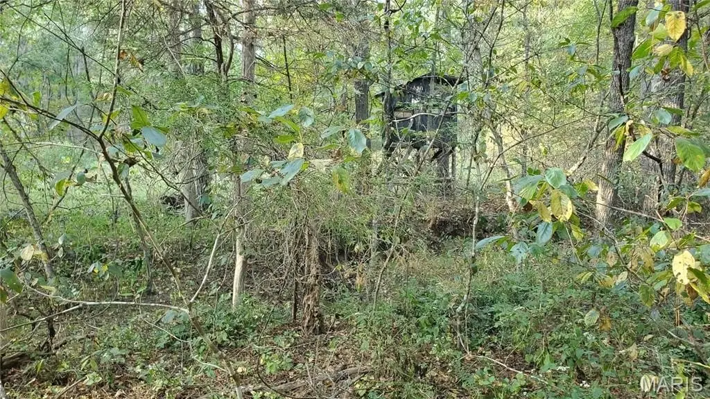
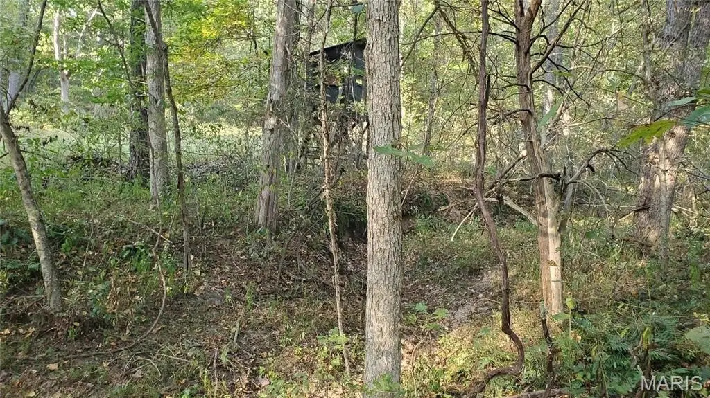
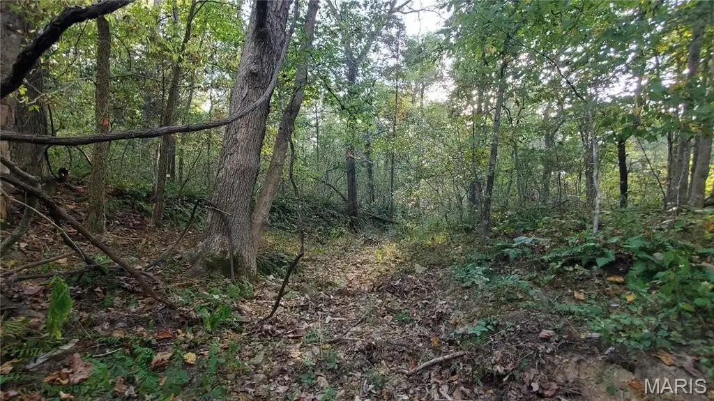
This 80-acre land offering is zoned residential and features a mix of hardwood timber including white and red oak, along with black walnuts. The property includes multiple potential build site locations, some marketable timber, and trails throughout. Natural water features include two wet-weather creeks running through the land and one creek with an active spring.
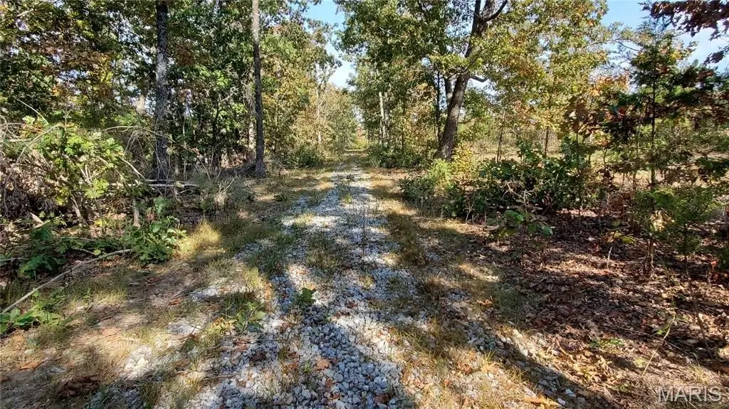
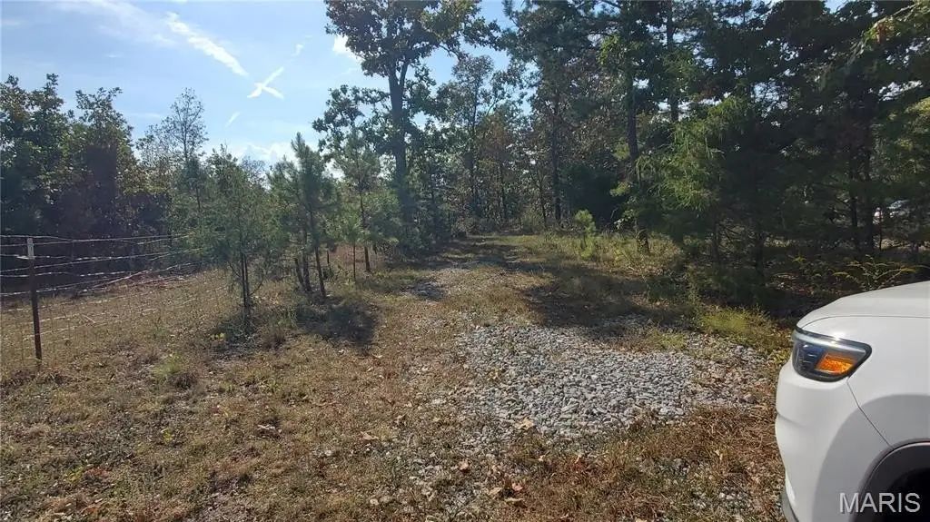
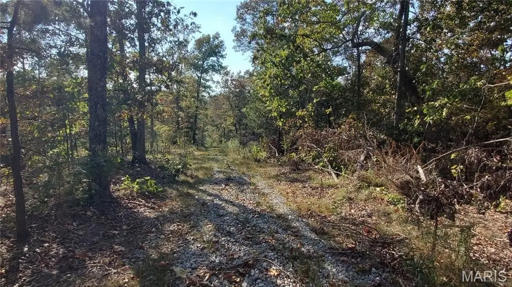
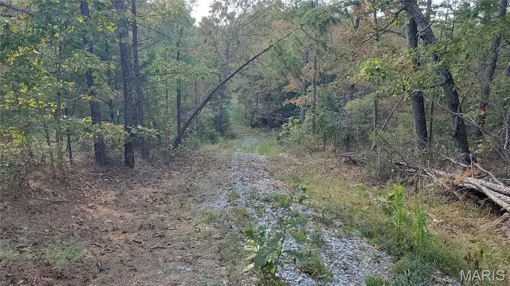
Access is available via a gravel easement, and the property is described as secluded. It is located between Salem, Rolla and Licking, within about an hour of Fort Leonard Wood and several area rivers and parks, including Current River, Jack’s Fork, Piney River, Meramec River, Montauk State Park, and Boiling Springs.
A timber appraisal summary and topography maps are available upon request. The listing describes the tract as offering coverage for wildlife and opportunities for food plots.
Access is available via a gravel easement, and the property is described as secluded. It is located between Salem, Rolla and Licking, within about an hour of Fort Leonard Wood and several area rivers and parks, including Current River, Jack’s Fork, Piney River, Meramec River, Montauk State Park, and Boiling Springs.
A timber appraisal summary and topography maps are available upon request. The listing describes the tract as offering coverage for wildlife and opportunities for food plots.
Key Highlights
- 80‑acre wooded parcel with plentiful white oak, red oak, other hardwoods, and some black walnuts
- Multiple build site locations for homes or cabins
- Some marketable timber; timber appraisal summary and topography maps available upon request
Property Analytics
Current Use
Location Intelligence
Trade Area within ½ mile
Explore this area
Business Placement
Demographics for 65560, MO
13,292
Population
6,355
Households
2.1
Avg Household Size
45
Median Age
18%
College-Educated
85%
High-School Grad
664.2 sq mi
ZIP Area
20
Density / Sq Mi
$53,423
Median Household Income
$33,606
Median Earnings
$625
Median Rent
$141,700
Median Home Value

Questions? Ask Rey
Realmo’s AI knows this listing — price, zoning, demand, history. Ask anything.




Frequently Asked Questions
What type of property is this?
Hunting land - An 80-acre residential-zoned timber parcel with multiple build sites and two wet-weather creeks plus an active spring.
Where is this hunting land located?
The property is located at County Road 6030 Salem, MO.
What is the asking price?
The asking price for this property is $259,900.
What are key features of this property?
This property features: 80‑acre wooded parcel with plentiful white oak, red oak, other hardwoods, and some black walnuts; Multiple build site locations for homes or cabins; Some marketable timber; timber appraisal summary and topography maps available upon request