Open-Range Agricultural
For Sale
$120,000
4250 W 8550 N, Fillmore, UT 84631
Land, Fillmore, UT
Property SizeContact for details
Lot Size160.00 Acres
Days on Market357
Property Features for 4250 W 8550 N
General Information
Property type
Land
Property subtype
Other
Zoning
Single-Family, Agricultur
Zoning description
AG20
Subdivision
20-19-5
Lot features
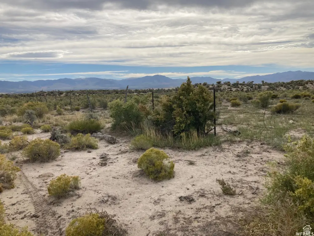
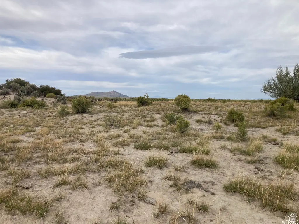
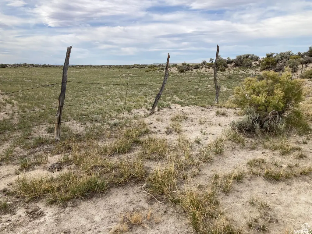
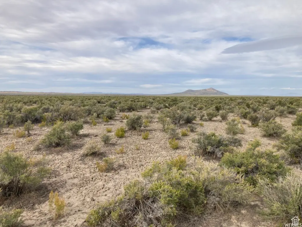
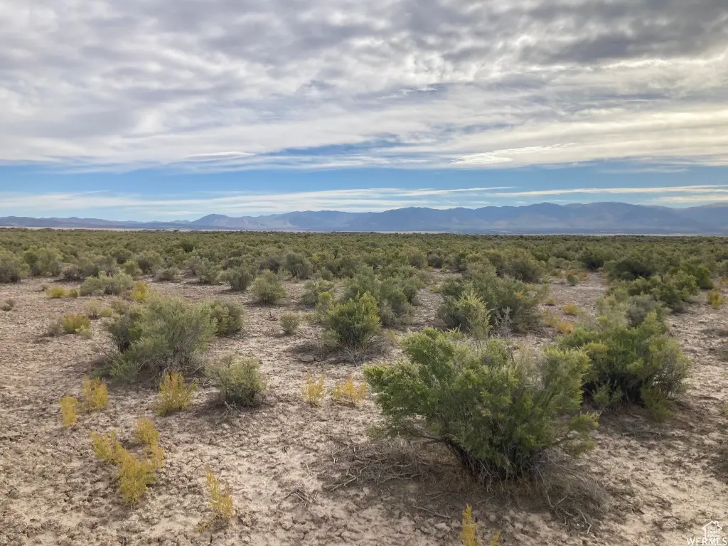
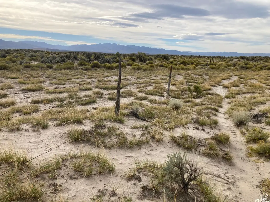
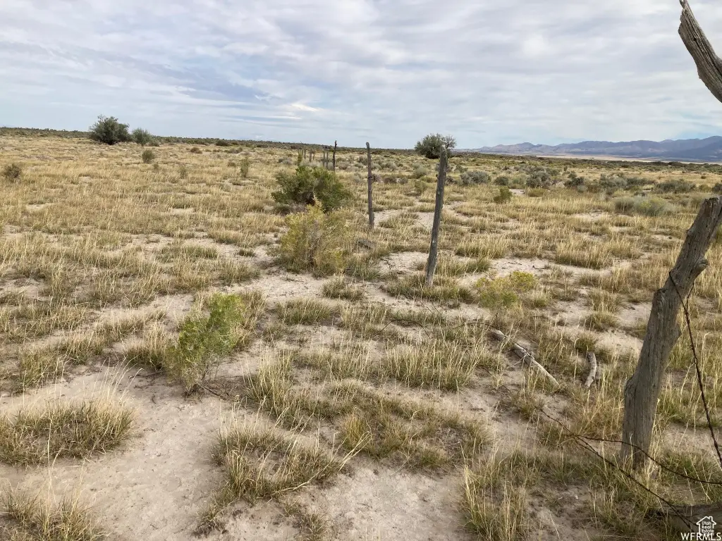
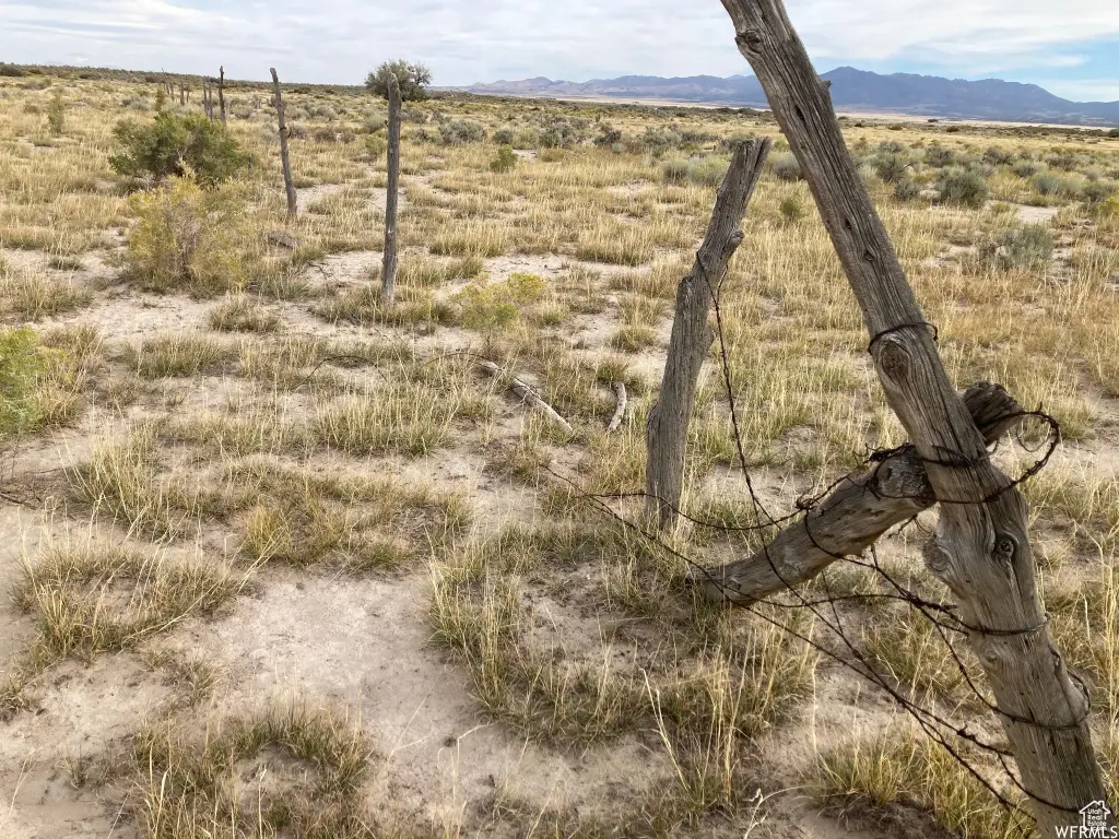
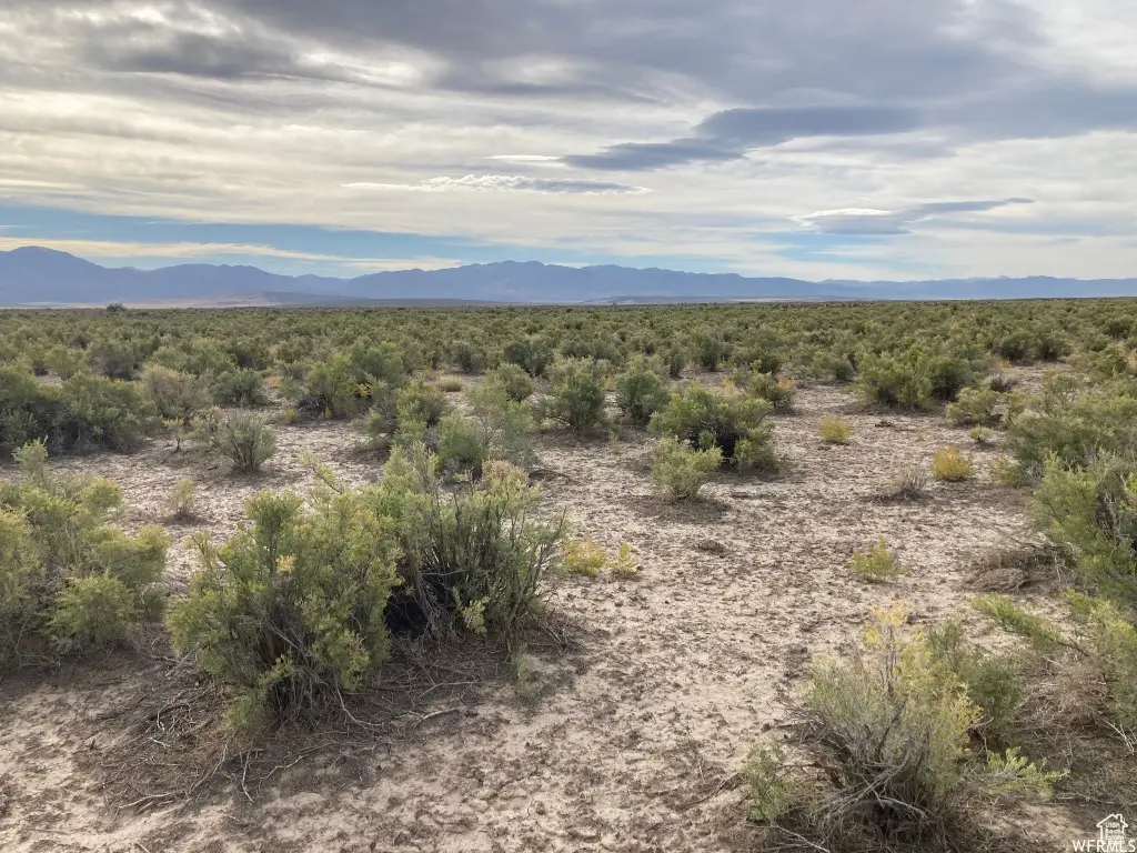
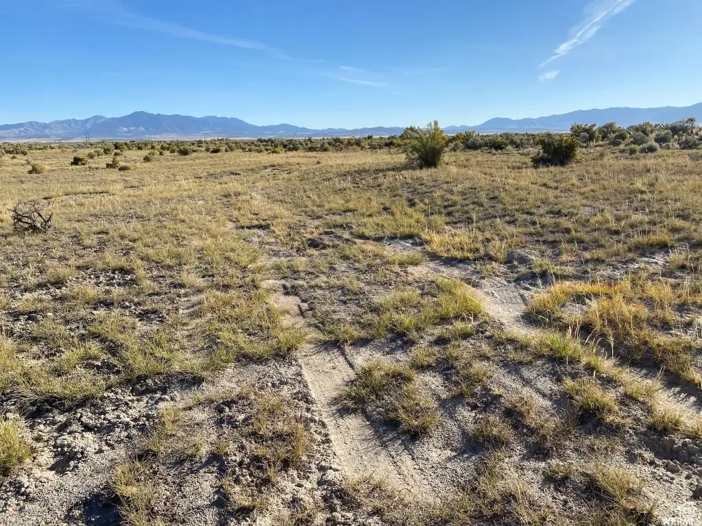
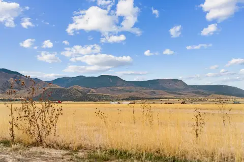
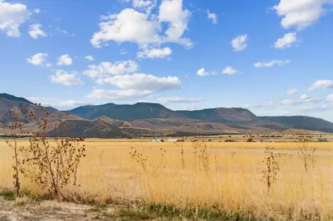
Fenced: Part, View: Mountain, View: Valley, Terrain: Flat, Horse Property
View
Valley
Elementary school
Fillmore
Middle school
Fillmore
High school
Millard
Elementary school district
Millard
Middle school district
Millard
High school district
Millard
Standard status
Active
APN
5929
Lot size
160.00 Acres
Taxes and HOA fees
Tax Annual Amount
1947
Listing Agency:
Signature Real Estate Services Inc
(435) 743-8316
Listed By:
Molly Stevens · License #5483669
(435) 864-8398
Added: Oct 15, 2025
Changed: Aug 19
Last Checked: Oct 6 at 11:06PM
MLS# 2117618
Copyright © 2026 UtahRealEstate.com. All rights reserved. All information provided by the listing agent/broker is deemed reliable but is not guaranteed and should be independently verified.
Investment Insights
Based on property information with market context.
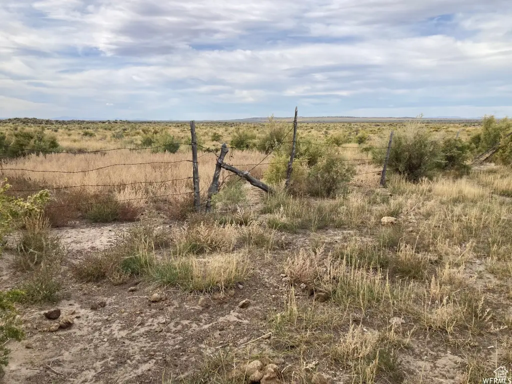
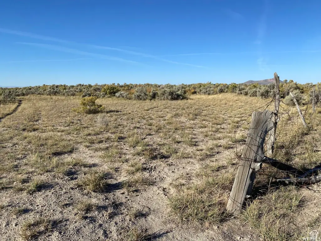
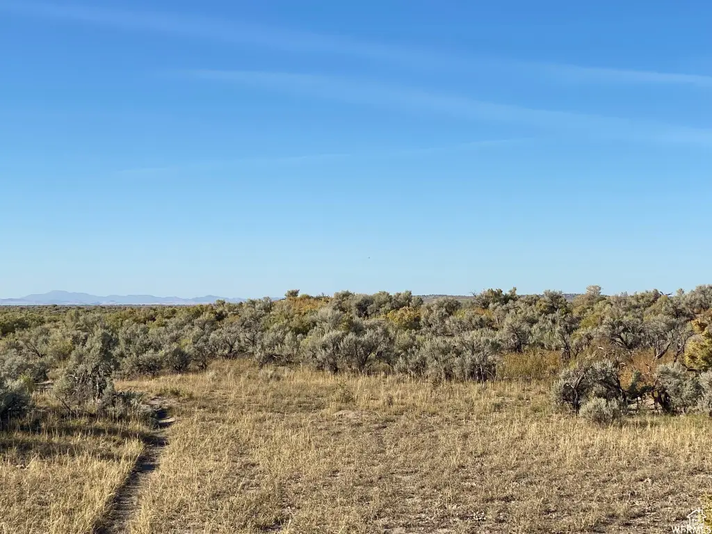
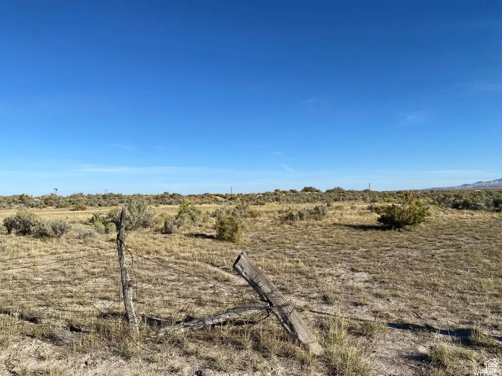
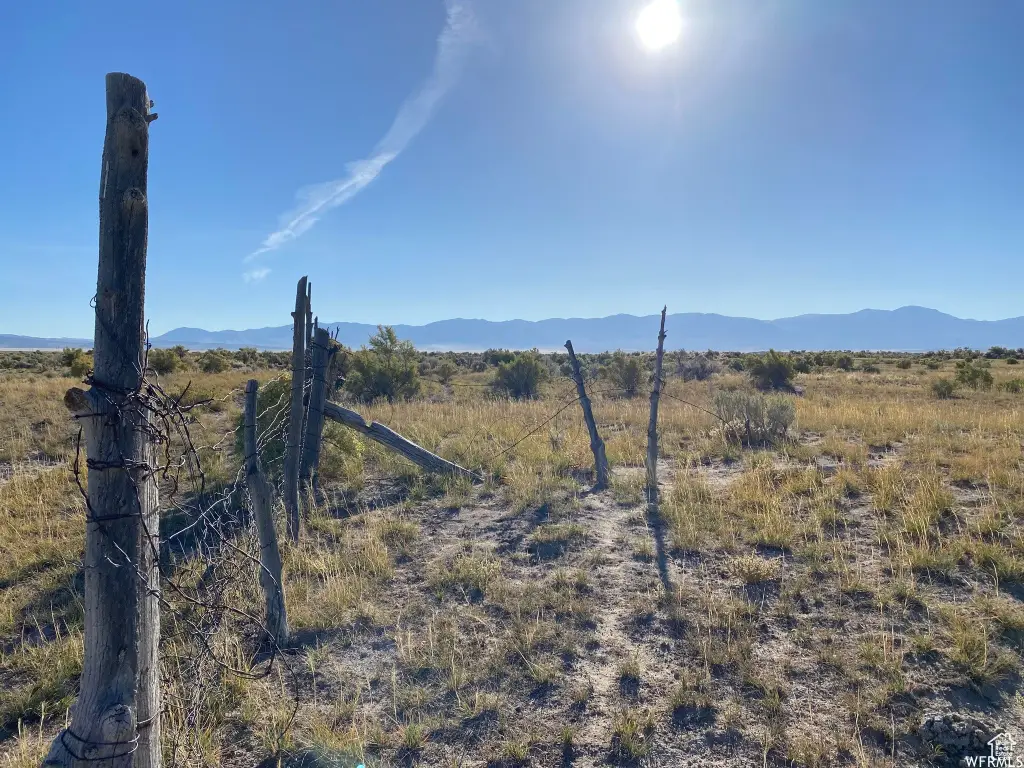
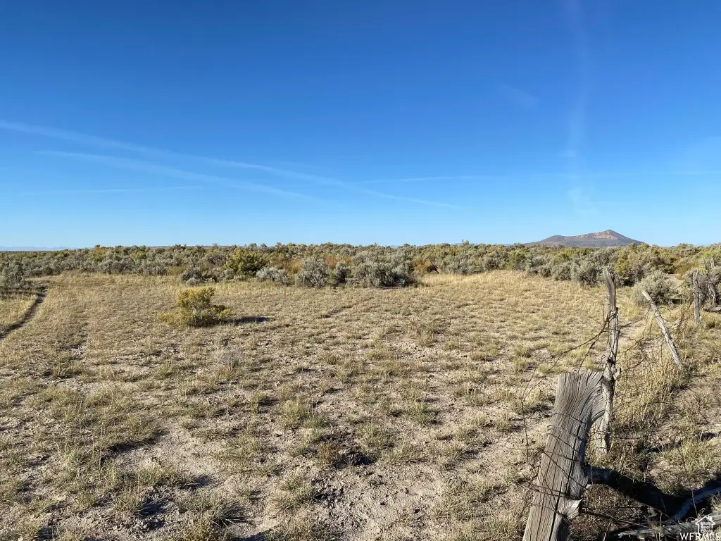
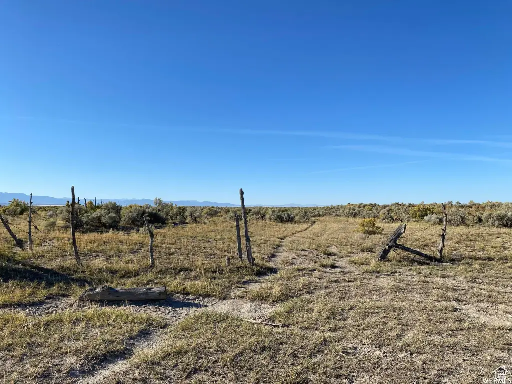
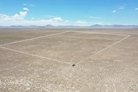
This 160-acre agricultural land parcel has traditionally been used as open range. Zoning is identified as Single-Family, Agricultur. The property is also described as a potential setting for a family campsite or recreational use.
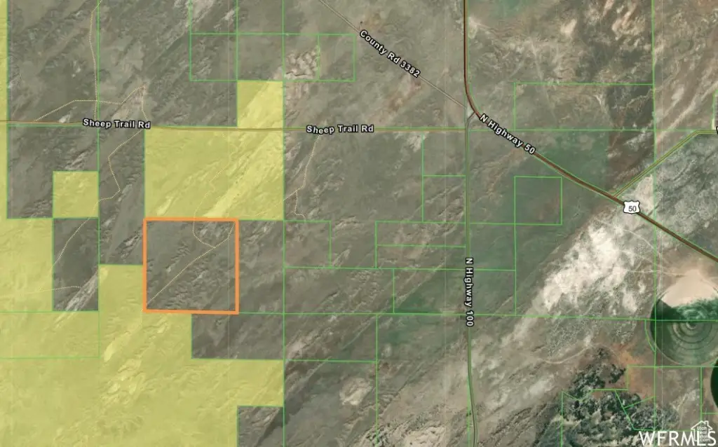
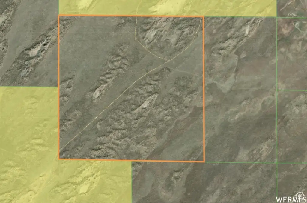
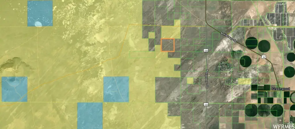
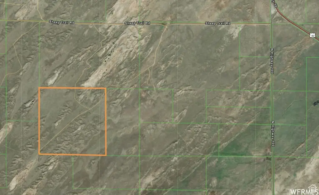
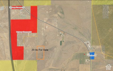
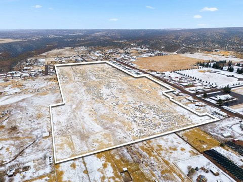
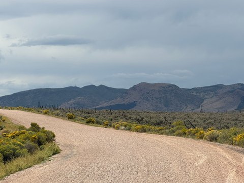
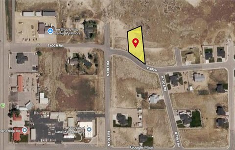
The parcel lies west of Holden and Hwy 100, approximately 1/2 mile south of Sheep Trail Rd. It borders BLM ground along its north and southwest areas and is near the road leading toward Pahvant Butte, also known as Sugarloaf. Access follows a two-track road and may be difficult during certain seasons. The seller has no water rights, and the maps and address are approximate.
The parcel lies west of Holden and Hwy 100, approximately 1/2 mile south of Sheep Trail Rd. It borders BLM ground along its north and southwest areas and is near the road leading toward Pahvant Butte, also known as Sugarloaf. Access follows a two-track road and may be difficult during certain seasons. The seller has no water rights, and the maps and address are approximate.
Key Highlights
- 160 acres of agricultural land
- Traditionally used as open range land
- Borders BLM ground on the north and SW areas
Property Analytics
Current Use
Location Intelligence
Trade Area within ½ mile
Explore this area
Business Placement
Demographics for 84631, UT
2,985
Population
1,074
Households
2.8
Avg Household Size
36
Median Age
20%
College-Educated
82%
High-School Grad
126.5 sq mi
ZIP Area
24
Density / Sq Mi
$74,464
Median Household Income
$31,607
Median Earnings
$795
Median Rent
$260,400
Median Home Value

Questions? Ask Rey
Realmo’s AI knows this listing — price, zoning, demand, history. Ask anything.


Frequently Asked Questions
What type of property is this?
Agricultural land / Farmland - Open-range acreage with seasonal road access and no water rights.
Where is this agricultural land / farmland located?
The property is located at 4250 W 8550 N Fillmore, UT.
What is the asking price?
The asking price for this property is $120,000.
What are key features of this property?
This property features: 160 acres of agricultural land; Traditionally used as open range land; Borders BLM ground on the north and SW areas



