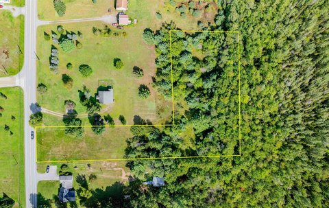
Land with Beaver Meadow Brook
3324 Mud City Loop Morristown, VT 05661

For Sale
$1,100,000
LAND - Morristown, VT
Lot Size77.24 Acres
Days on Market91
Property Features for 3324 Mud City Loop
General Information
- Property type
- Land
- Property subtype
- Other
- Zoning
- RRA
- Standard status
- Active
- Lot size
- 77.24 Acres
Taxes and HOA fees
- Tax Year
- 2025
- Tax Annual Amount
- 9934
Utilities
- Sewer type
- Septic Needed
- Water source
- Well Needed
Listing Agency:
KW Vermont-Stowe
(802) 760-3100
Listed By:
Steven Foster · License #VT 081.0134141
(802) 654-8500
Added: Apr 27
Changed: Jul 24
Last Checked: Jul 26 at 8:06AM
MLS# 5085581
Copyright © 2026 PrimeMLS. All rights reserved. All information provided by the listing agent/broker is deemed reliable but is not guaranteed and should be independently verified.
Investment Insights
Based on property information with market context.
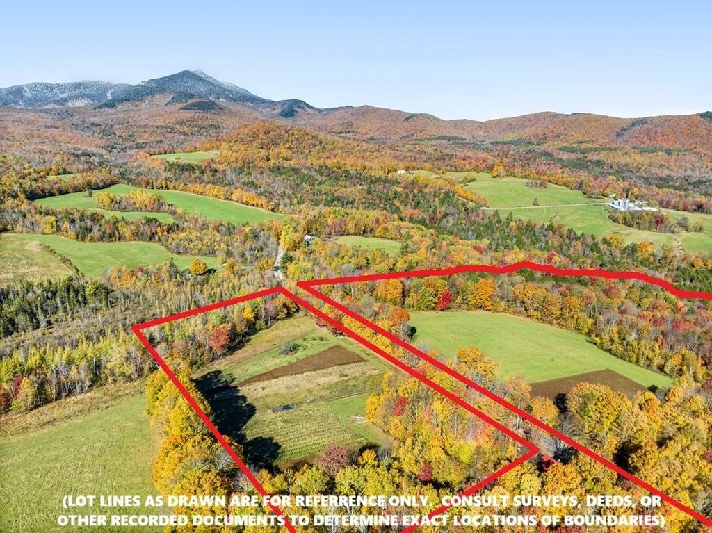
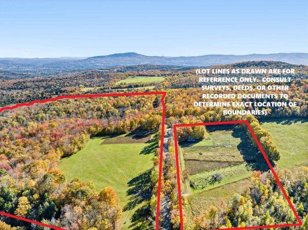
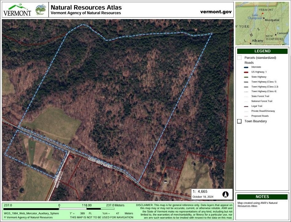
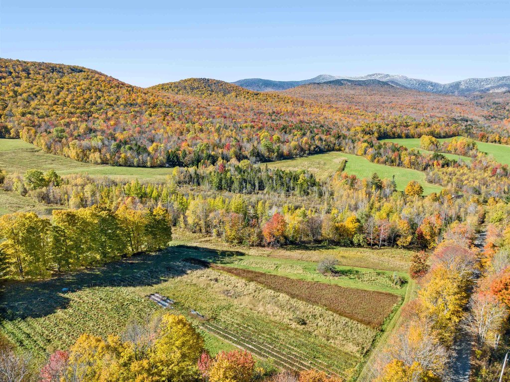
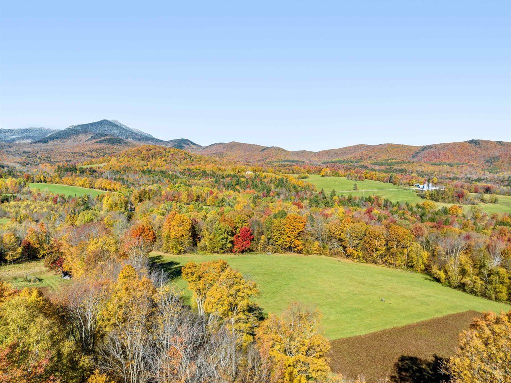
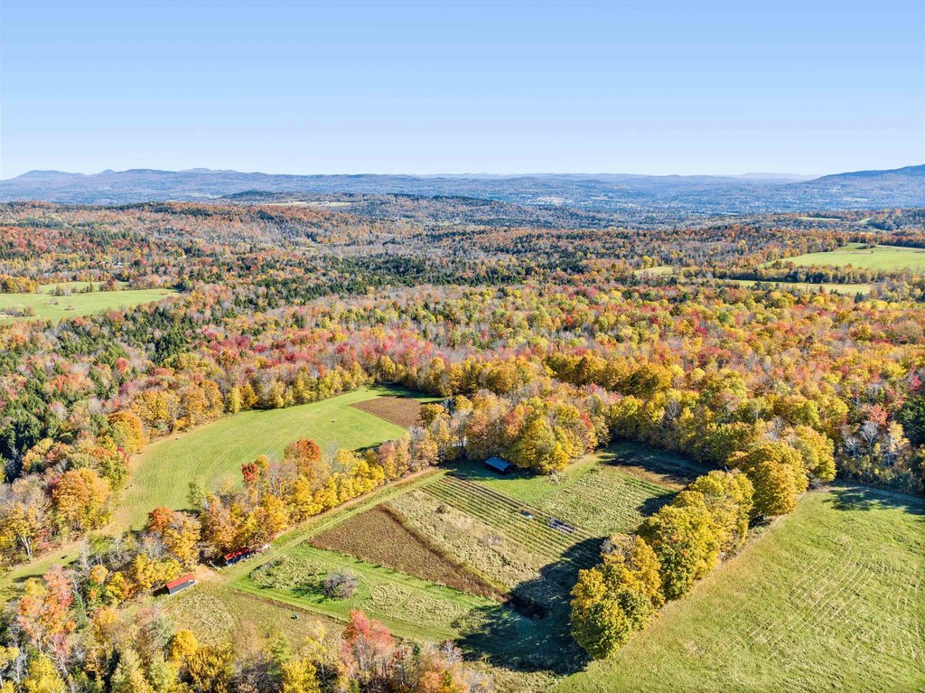
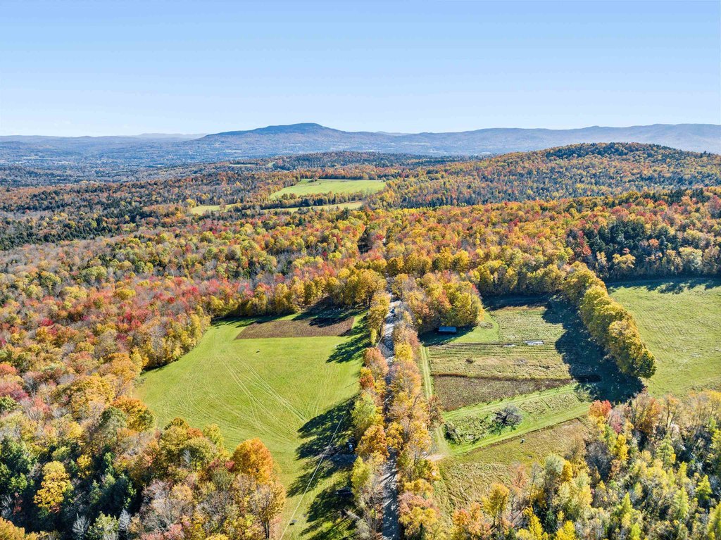
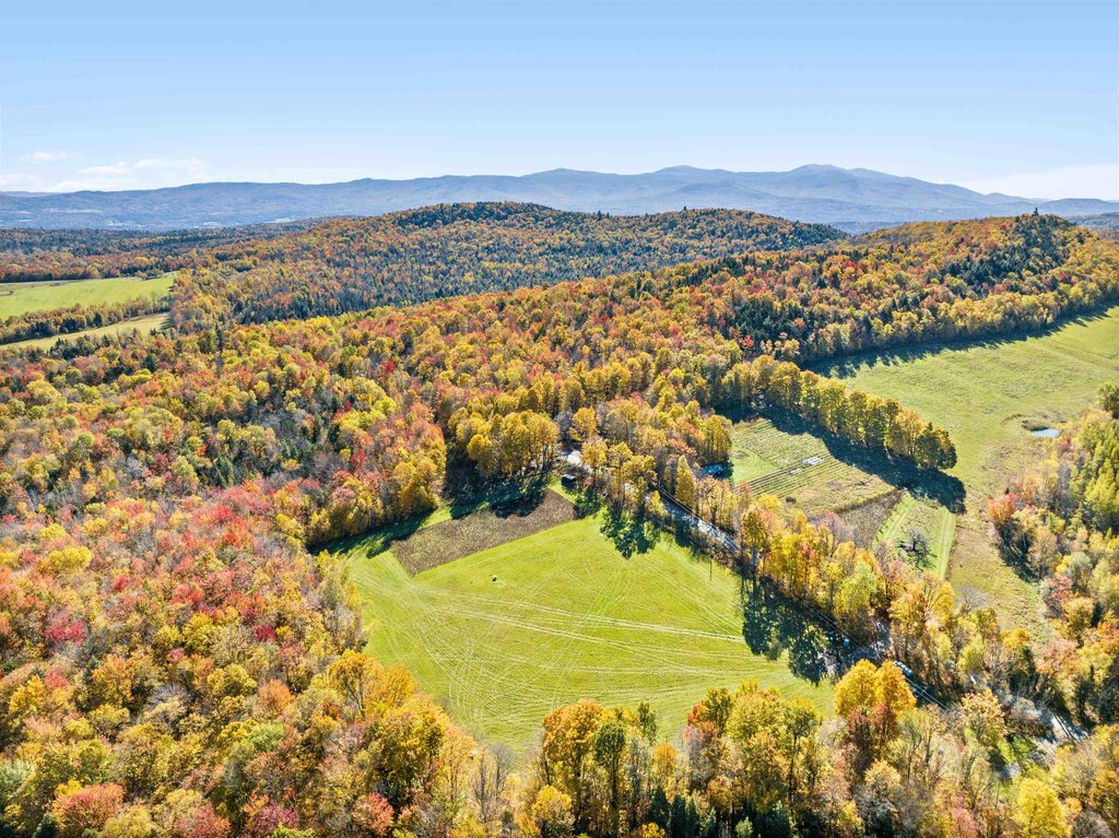
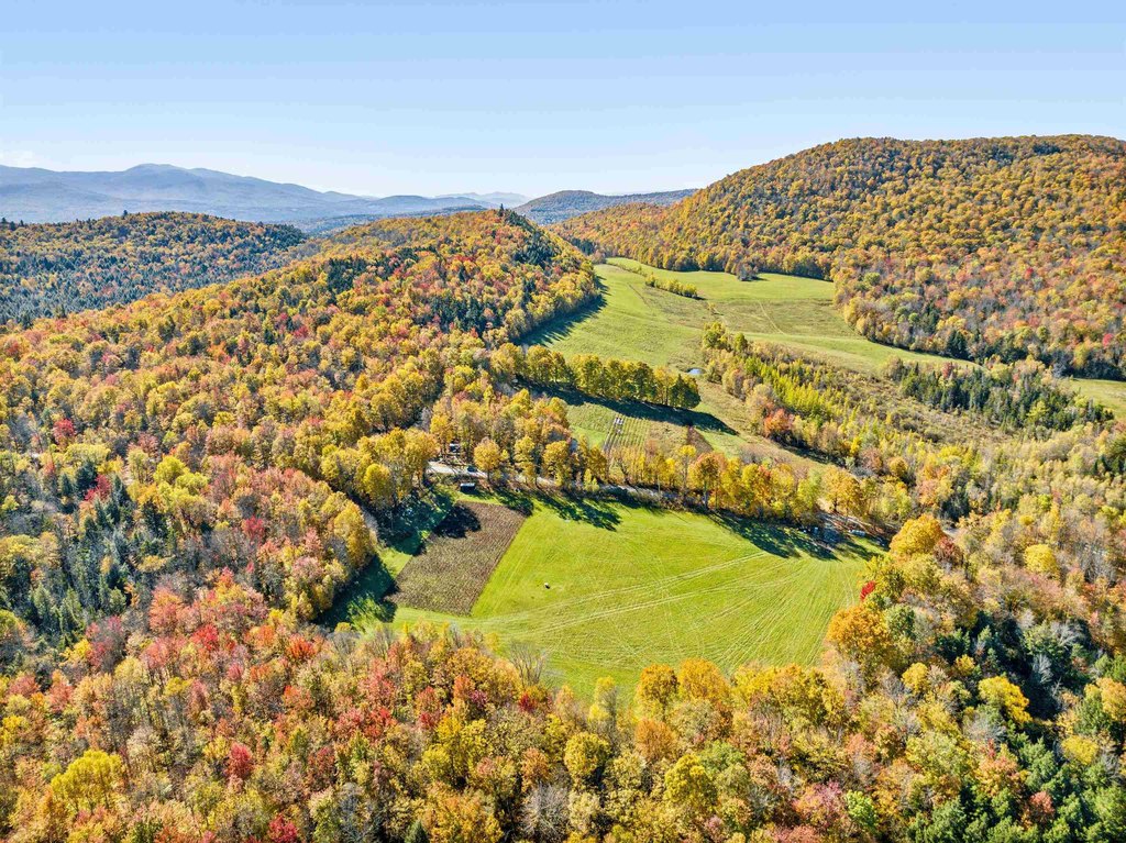
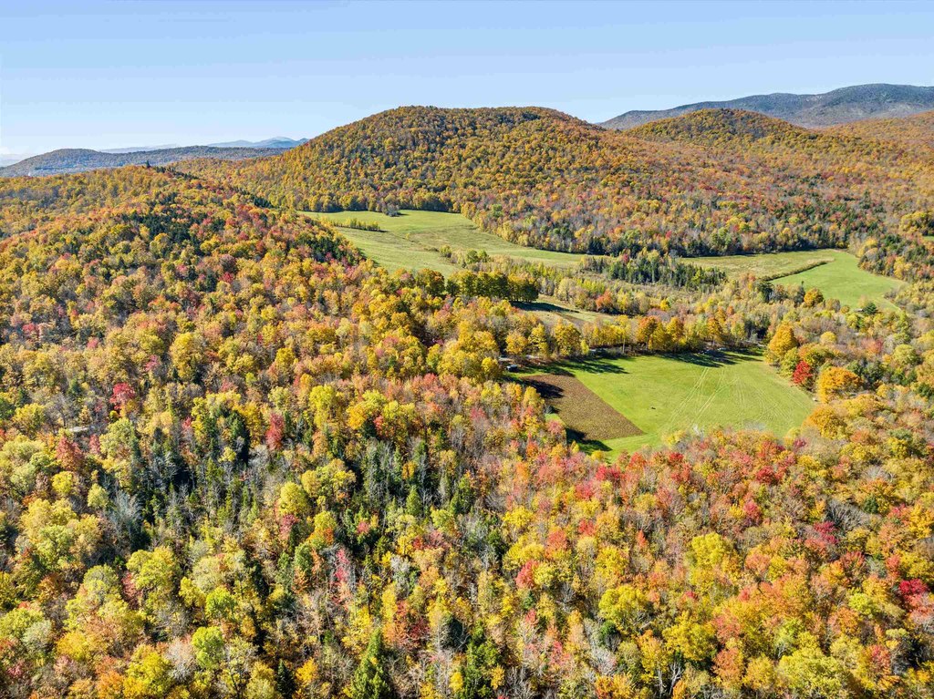
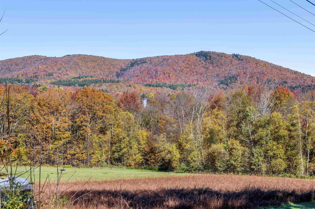
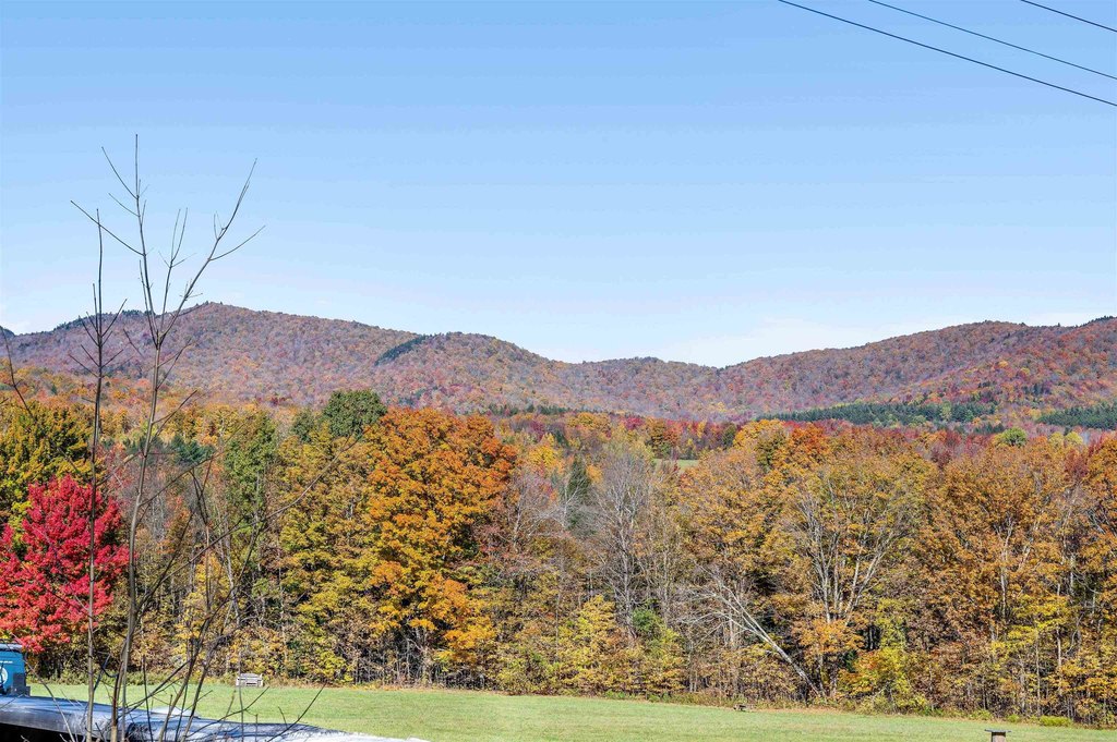
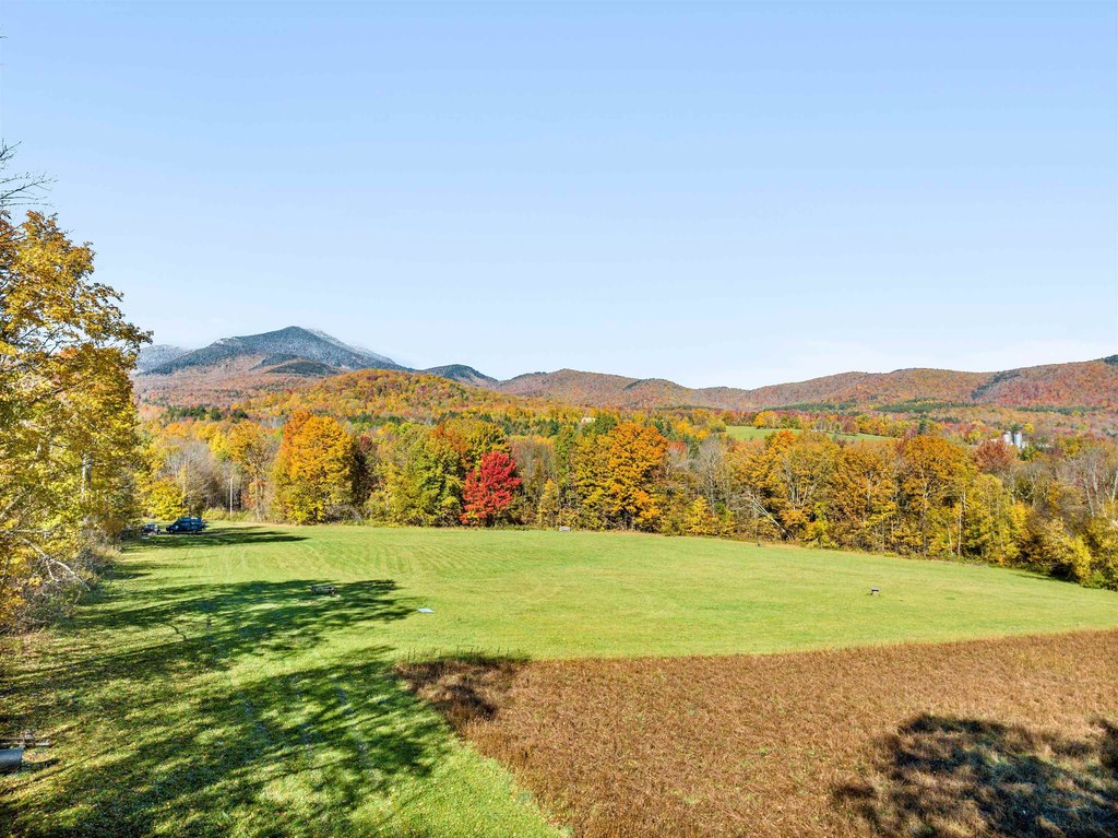
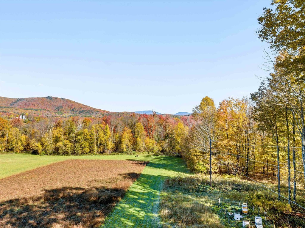
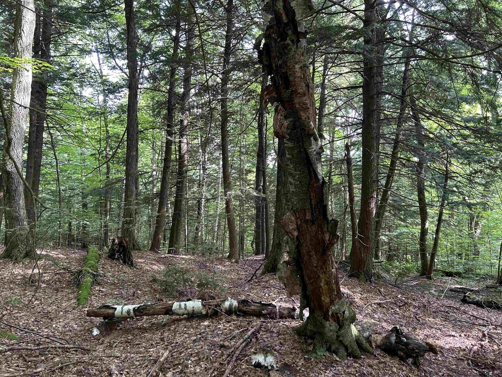
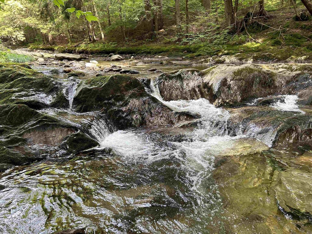
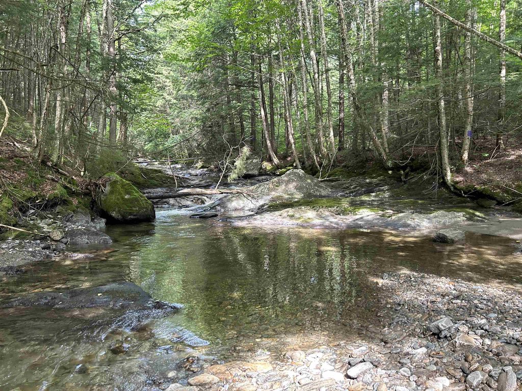
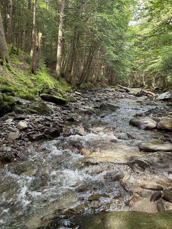
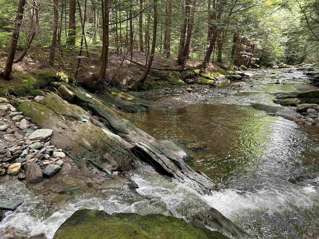
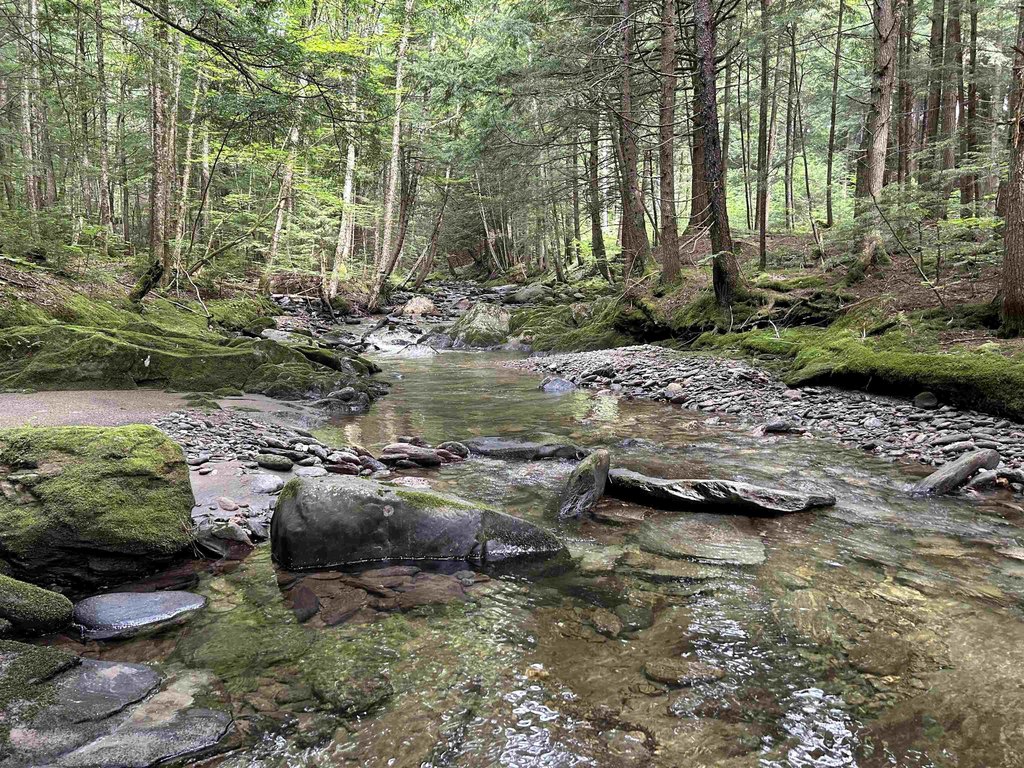
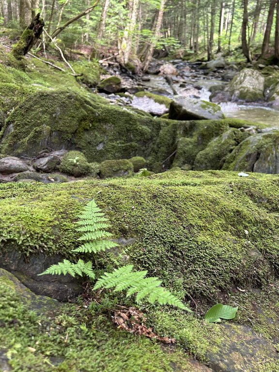
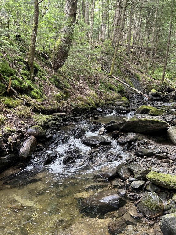
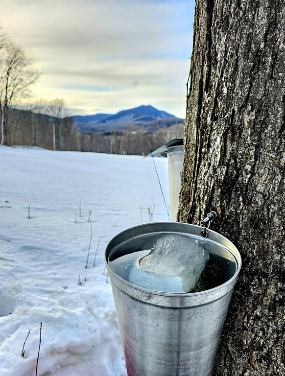
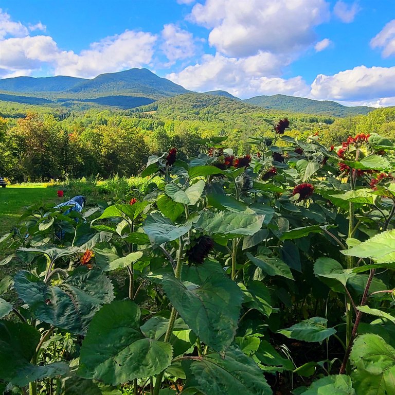
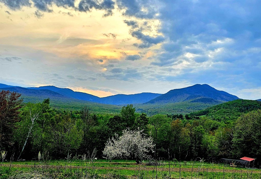
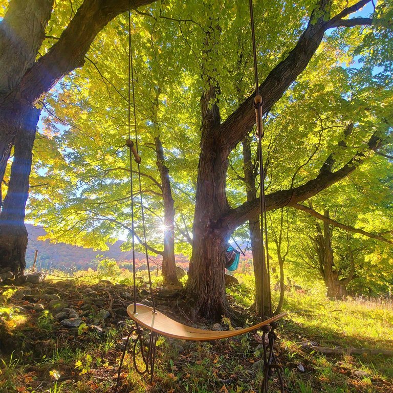
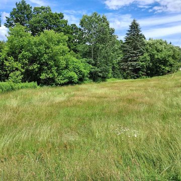
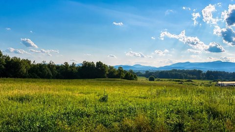
This 77.24-acre tract is predominantly level to gently sloping, with a mix of tree species including red maple near the roadway, mixed hardwoods and softwoods across the interior, and mature hemlocks along the back boundary. The property includes an arrangement of fields and woodland that may support development while preserving much of the land through Current Use enrollment. Sale is subject to revision of an existing Use Value Appraisal (Current Use) plan.
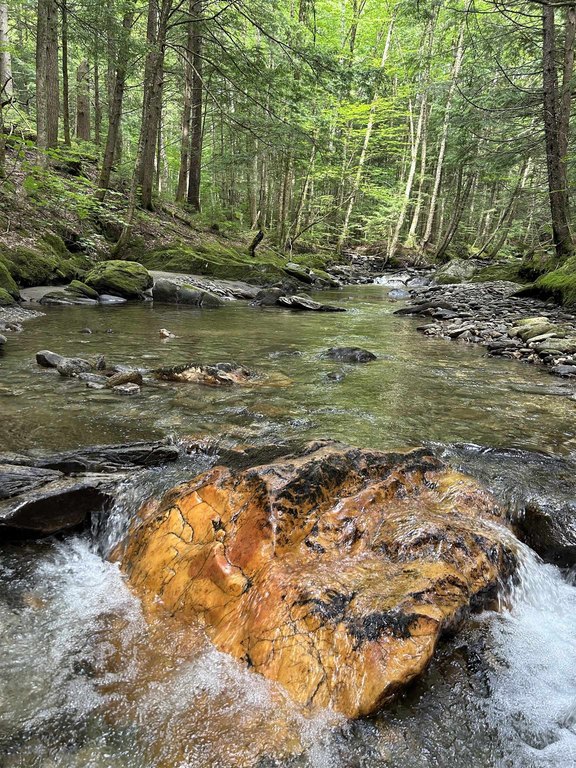
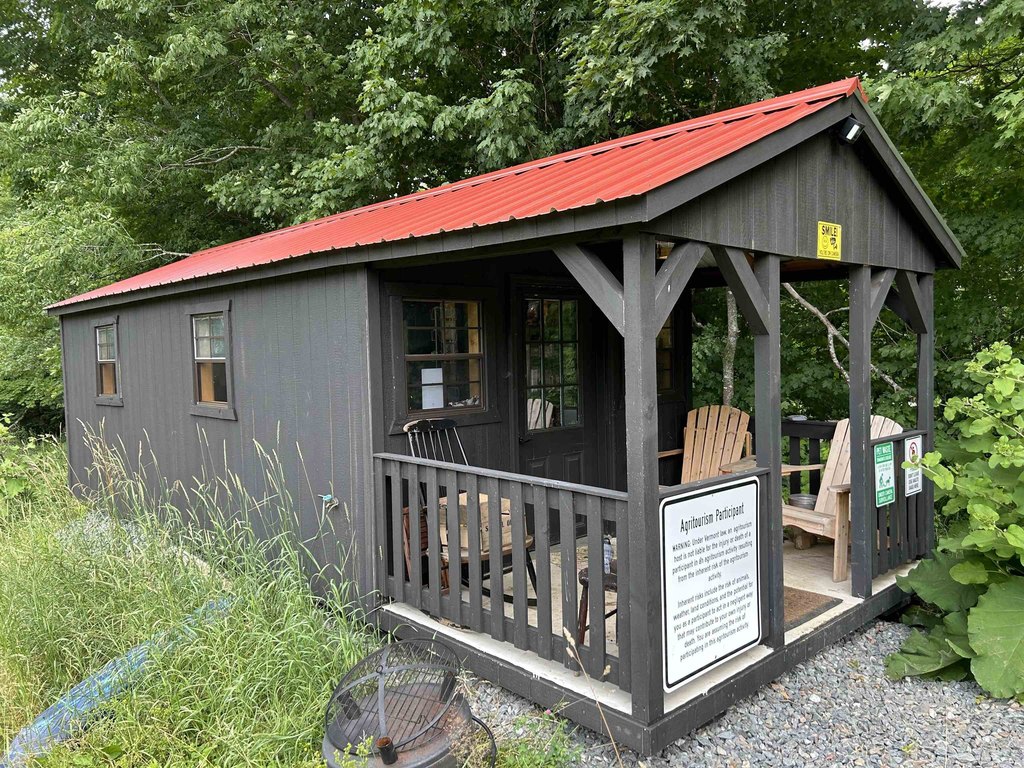
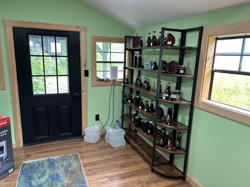
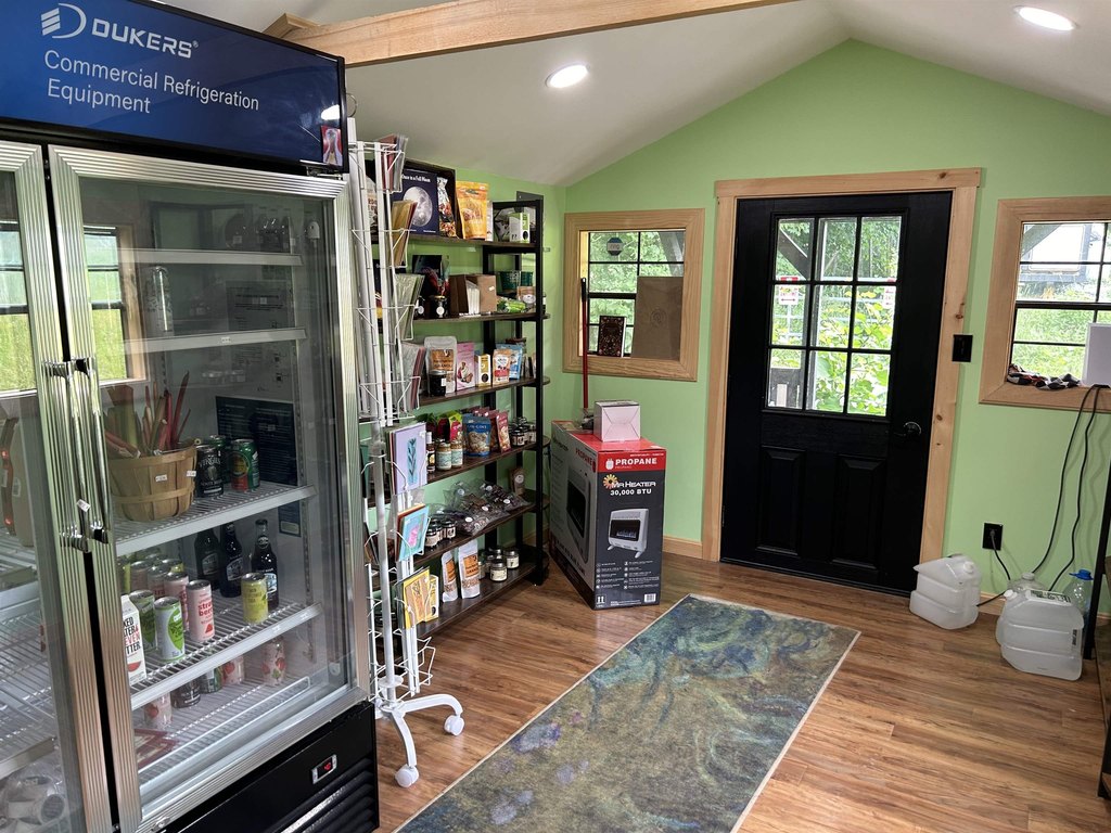
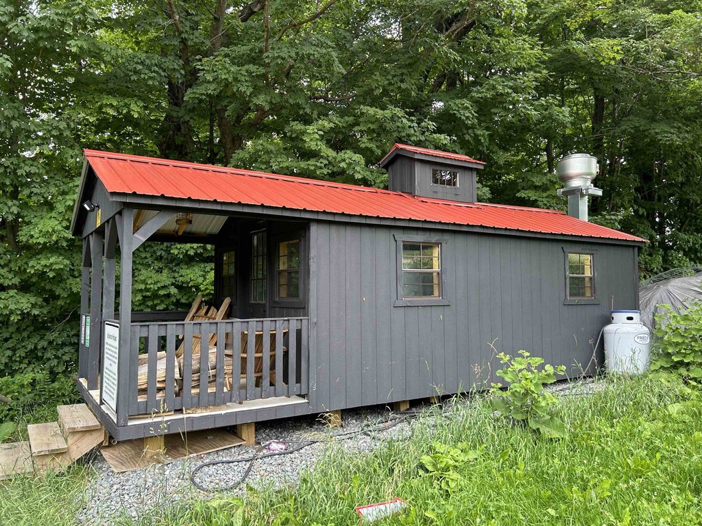
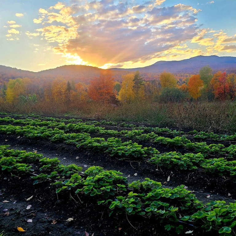
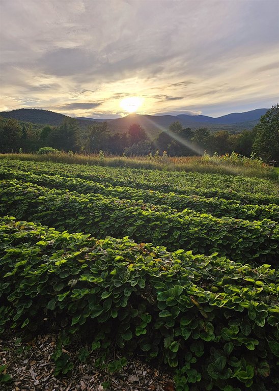
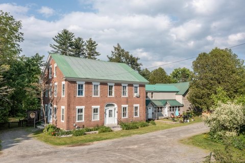
The offering also features over two thousand feet of frontage on Beaver Meadow Brook. There is currently electricity running to the cabins on the smaller parcel. Stated taxes are based on a slightly larger total parcel that includes the original farmhouse.
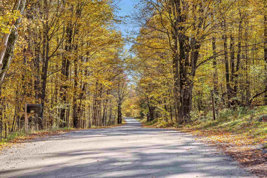
Zoned RRA, the property is located within the Mud City Loop neighborhood and is near the Stowe/Morristown line, providing an opportunity to balance accessible build potential with ongoing conservation through Current Use.
The offering also features over two thousand feet of frontage on Beaver Meadow Brook. There is currently electricity running to the cabins on the smaller parcel. Stated taxes are based on a slightly larger total parcel that includes the original farmhouse.
Zoned RRA, the property is located within the Mud City Loop neighborhood and is near the Stowe/Morristown line, providing an opportunity to balance accessible build potential with ongoing conservation through Current Use.
Key Highlights
- 77‑acre property near the Stowe/Morristown line in the Mud City Loop neighborhood
- Over 2,000 ft of frontage on Beaver Meadow Brook with ledges, boulders, and flowing water
- Land is predominantly level to gently sloping with mixed tree species including red maple, hemlock, and mixed hardwoods/softwoods
Property Analytics
Property Profile
Location Intelligence
Current Use by Public Records
Agricultural land / Farmland


FAQs
What type of property is this?
Agricultural land / Farmland - 77-acre property zoned RRA with over 2,000 feet of frontage on Beaver Meadow Brook and electricity to cabins on a smaller parcel.
Where is this agricultural land / farmland located?
The property is located at 3324 Mud City Loop Morristown, VT.
What is the asking price?
The asking price for this property is $1,100,000.
What are key features of this property?
This property features: 77‑acre property near the Stowe/Morristown line in the Mud City Loop neighborhood; Over 2,000 ft of frontage on Beaver Meadow Brook with ledges, boulders, and flowing water; Land is predominantly level to gently sloping with mixed tree species including red maple, hemlock, and mixed hardwoods/softwoods


