Tract 30 Old Ulm Cascade Road, Cascade, MT 59421
- Added:
- May 31, 2025
- Days on Market:
- 393
- Last Refresh:
- Jun 27 at 8:06 pm
Property Features for Tract 30 Old Ulm Cascade Road
General Information
- Property type
- Land
- Property subtype
- Other
- Standard status
- Active
- APN
- 02289030201300000
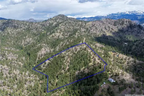
- Lot size
- 168.12 Acres
Taxes and HOA fees
- Tax Year
- 2024
- Tax Description
- S30, T19 N, R01 E, C.O.S. 5387, S25, Tract 30
- Tax Annual Amount
- 203
Utilities
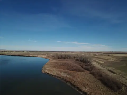
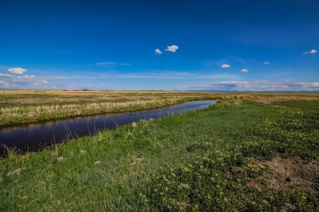
- Water front features
- Creek, Waterfront
- Water front
- 1
Listing agent Cody Carestia License #RRE-BRO-LIC-63120 (406) 490-0973
Listing office Ursus Montana Realty LLC 565 Lower Deep Cr Rd, Townsend, MT (406) 490-0973
Listing date May 31, 2025
Copyright © 2026 Montana Regional MLS. All rights reserved. All information provided by the listing agent/broker is deemed reliable but is not guaranteed and should be independently verified.
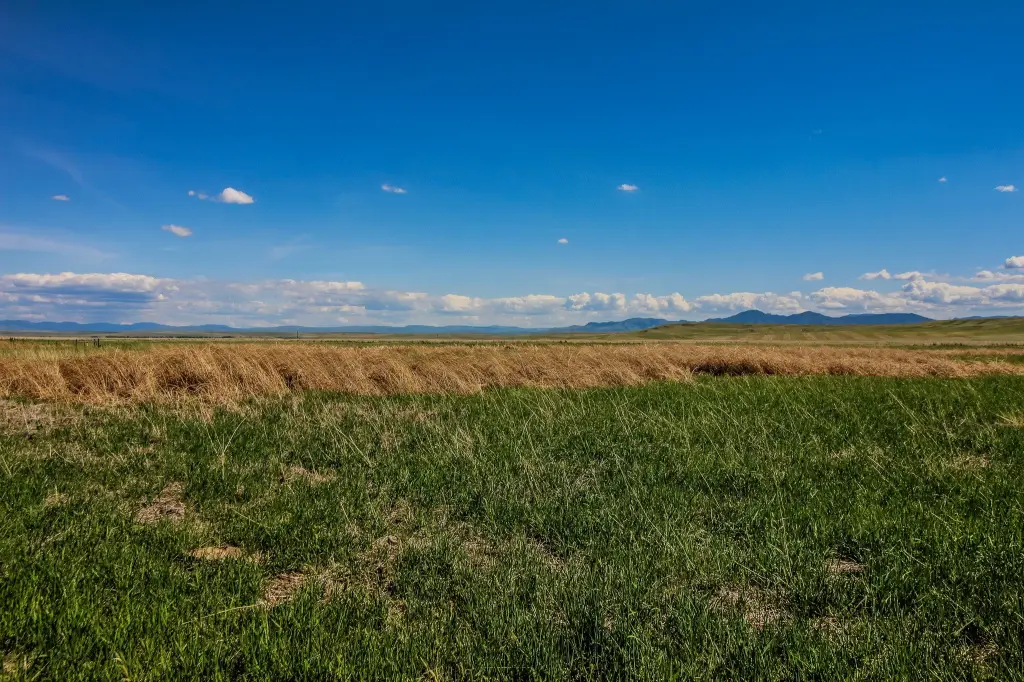
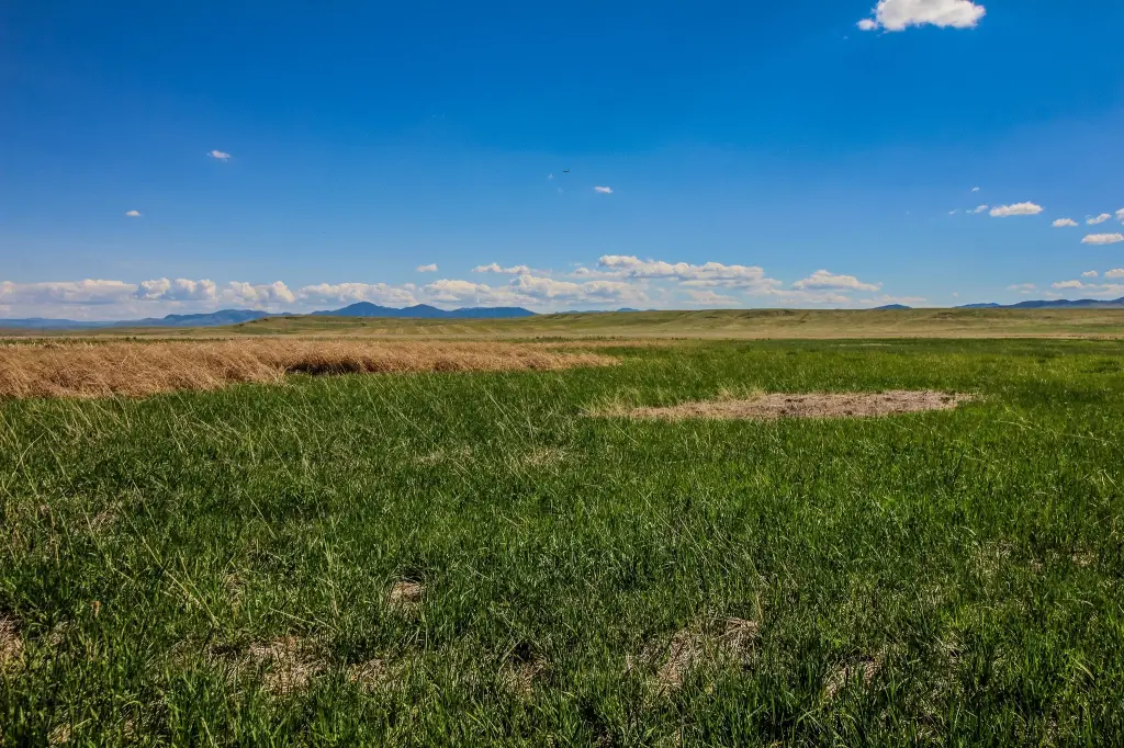
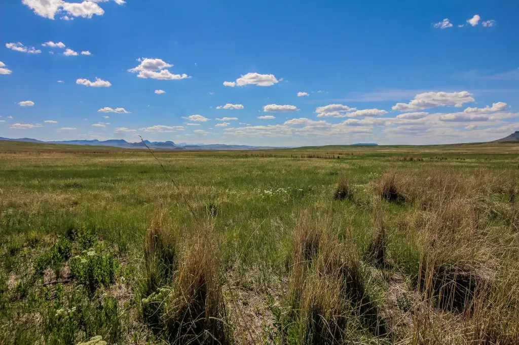
HighLights
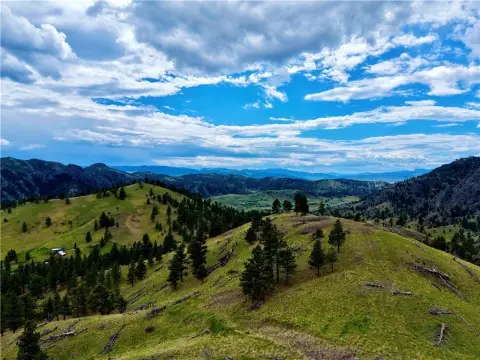
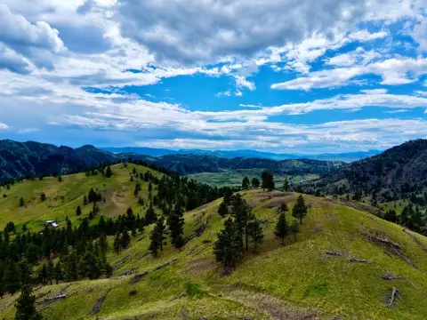
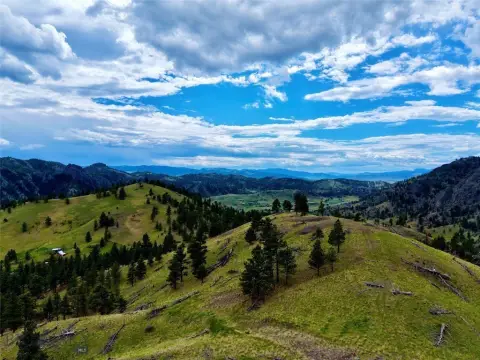
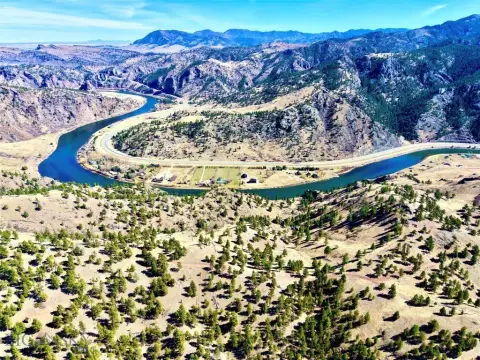
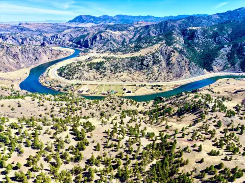
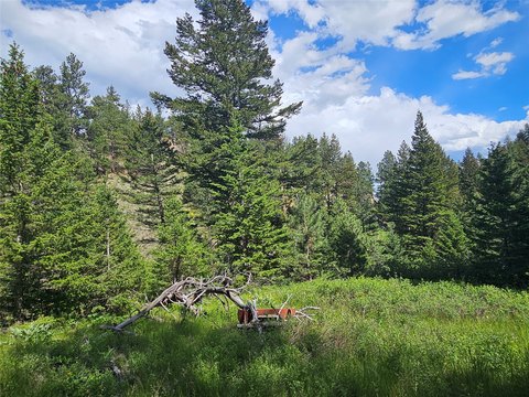
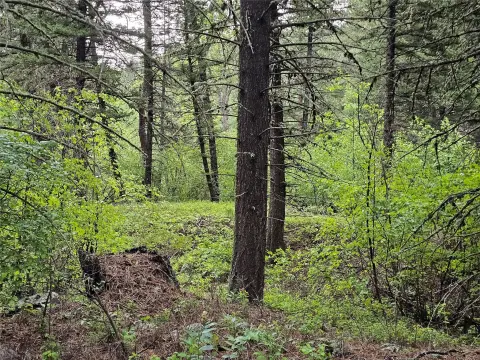
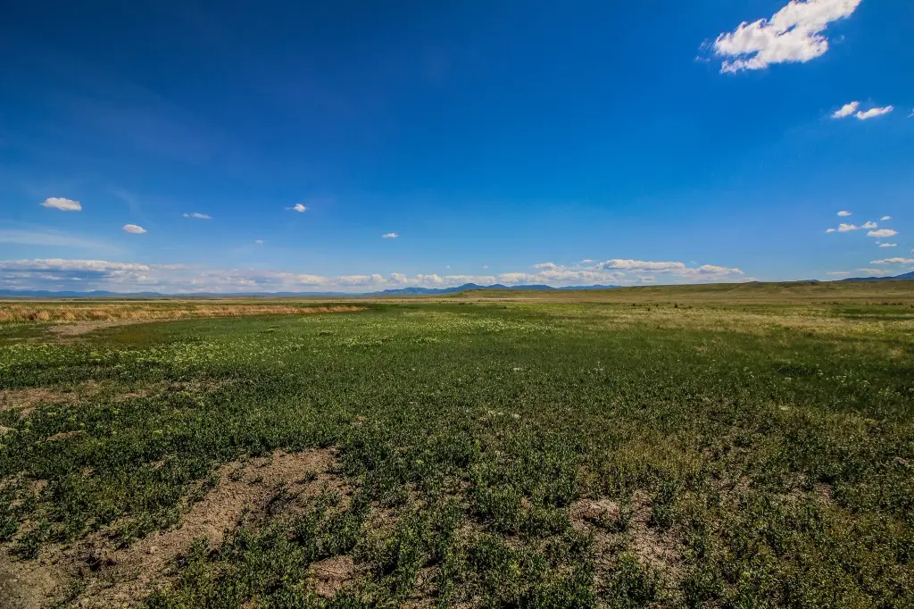
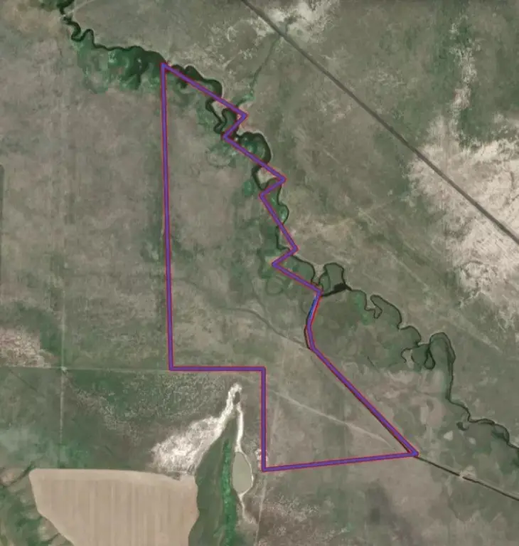
- 160 acre tract with creek frontage
- No restrictions on land use, perfect for pasture or building your dream homesite
- Enjoy access to 2321 acres of state land to the north for recreation
- Located in a quiet, rural agricultural area
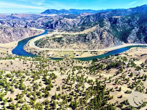
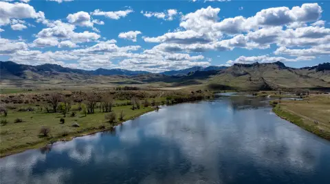
- Close proximity to the Missouri River and world‑class fishing
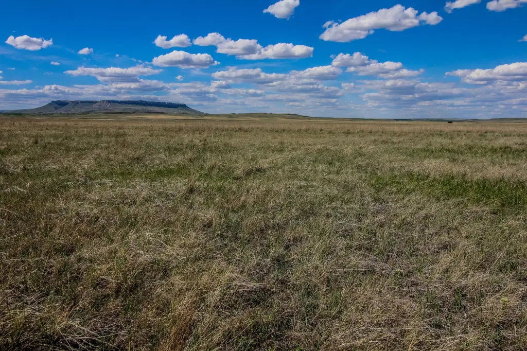
- Enjoy views of Square Butte, a historic Montana landmark
Overview
The tract is located near Cascade, Montana, and is described as being about 7 miles northwest of the town. Great Falls is stated to be approximately 15 miles away. The property is also described as being situated in the shadow of Square Butte, a historic Montana landmark, and Cascade is noted in the remarks as having the Missouri River flowing through it. In addition, the listing states the area provides access to 2321 acres of state land to the north.
The combination of creek frontage and surrounding open countryside may appeal to buyers seeking rural land for grazing and outdoor recreation, with room to plan a homesite alongside pasture use. The listing further describes the area as having no restrictions, which may be of interest to buyers evaluating flexible land uses. Access to nearby state land is also mentioned as supporting additional opportunities for recreation on surrounding public acreage.
Current Use by Public Records
Map
- City
- Cascade
- County
- Cascade
- State
- Montana
- Longitude
- -111.6634645
- Latitude
- 47.36883081