Large Irrigated
For Sale
$9,750,000
TL 2501 Weaver Springs Lane, Burns, OR 97720
Land, Burns, OR
Property SizeContact for details
Lot Size4,958.70 Acres
Days on Market950
Property Features for TL 2501 Weaver Springs Lane
General Information
Property type
Land
Property subtype
Other
Standard status
Active
Lot size
4,958.70 Acres
Taxes and HOA fees
Tax Annual Amount
48076
Listing Agency:
Jett Blackburn Real Estate Inc.
(541) 413-5660
Listed By:
Curt Blackburn · License #900200215
(541) 573-7206
Added: Feb 27, 2024
Changed: Sep 4
Last Checked: Oct 4 at 11:06PM
MLS# 11270506
Copyright © 2026 My State MLS. All rights reserved. All information provided by the listing agent/broker is deemed reliable but is not guaranteed and should be independently verified.
Investment Insights
Based on property information with market context.
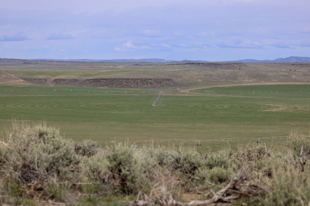
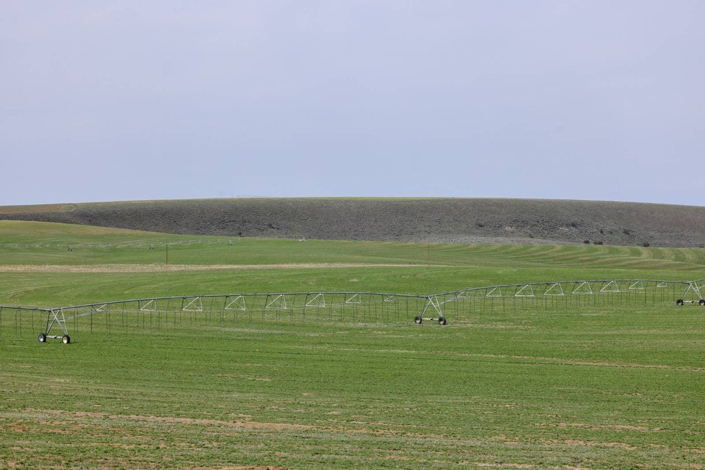
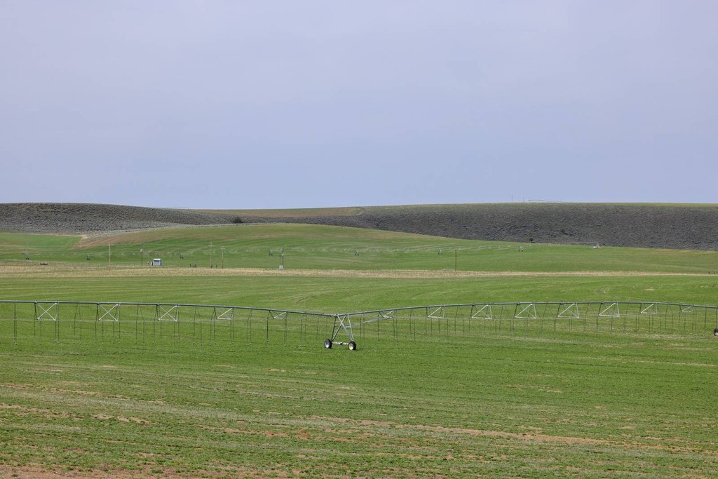
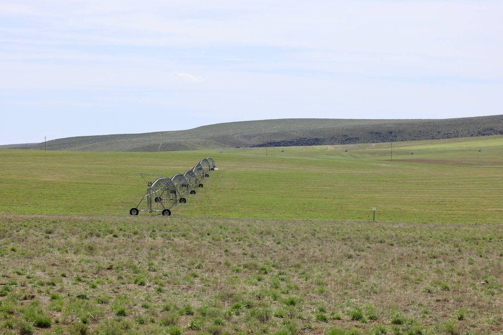
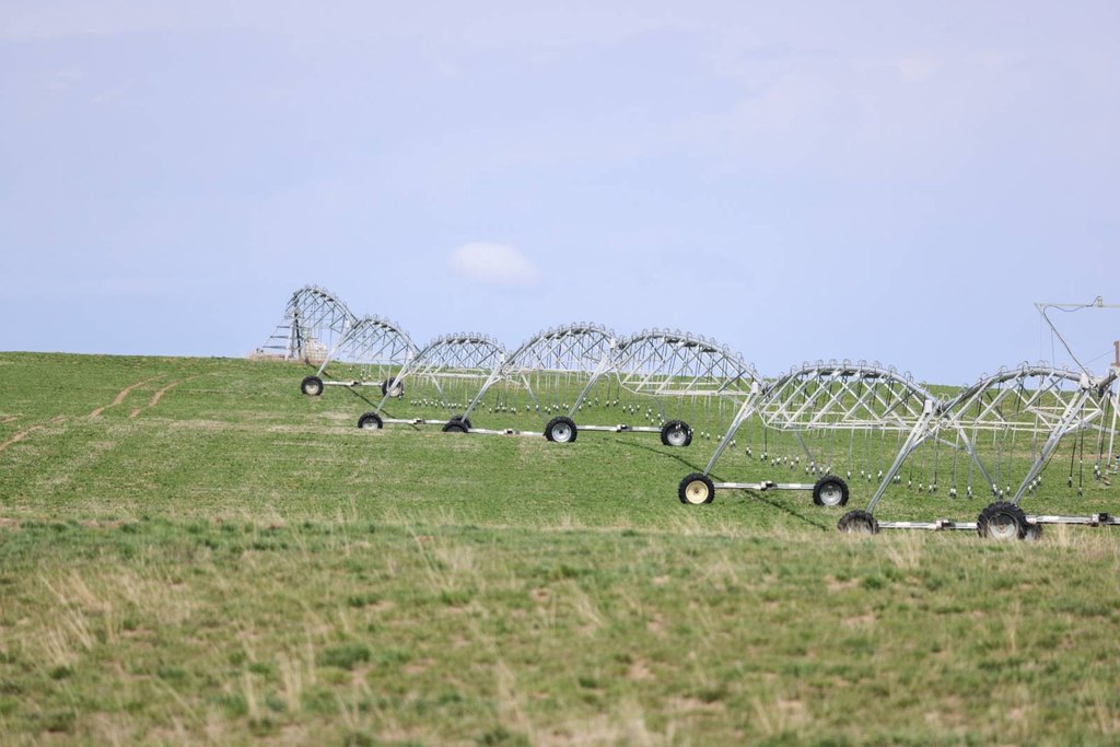
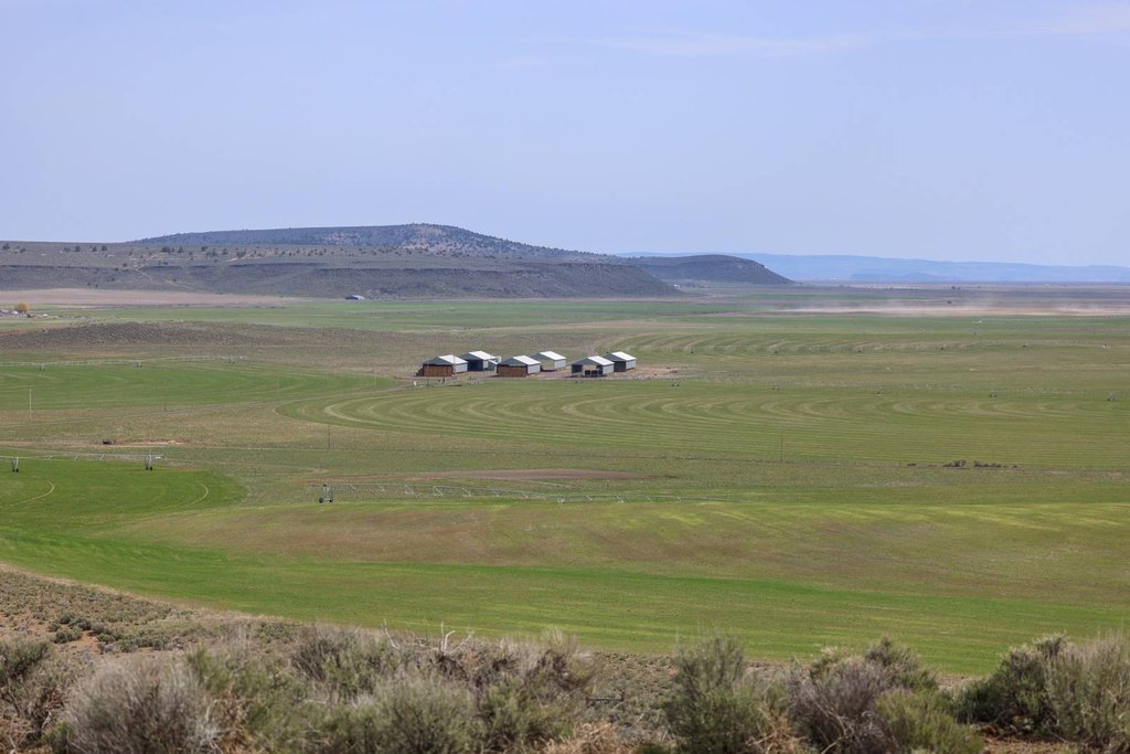
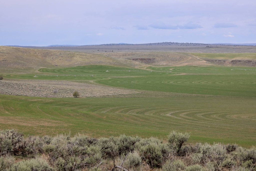
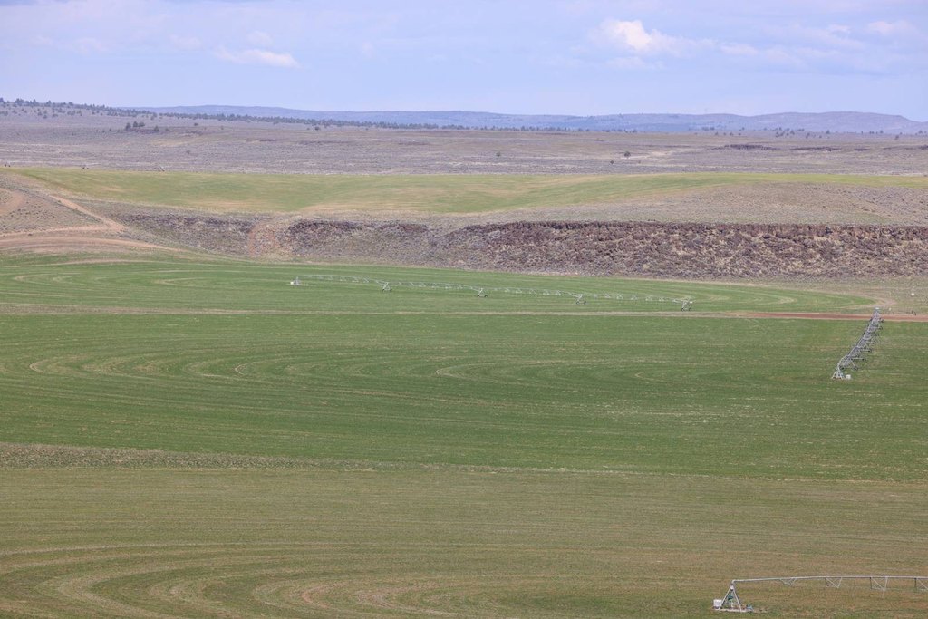
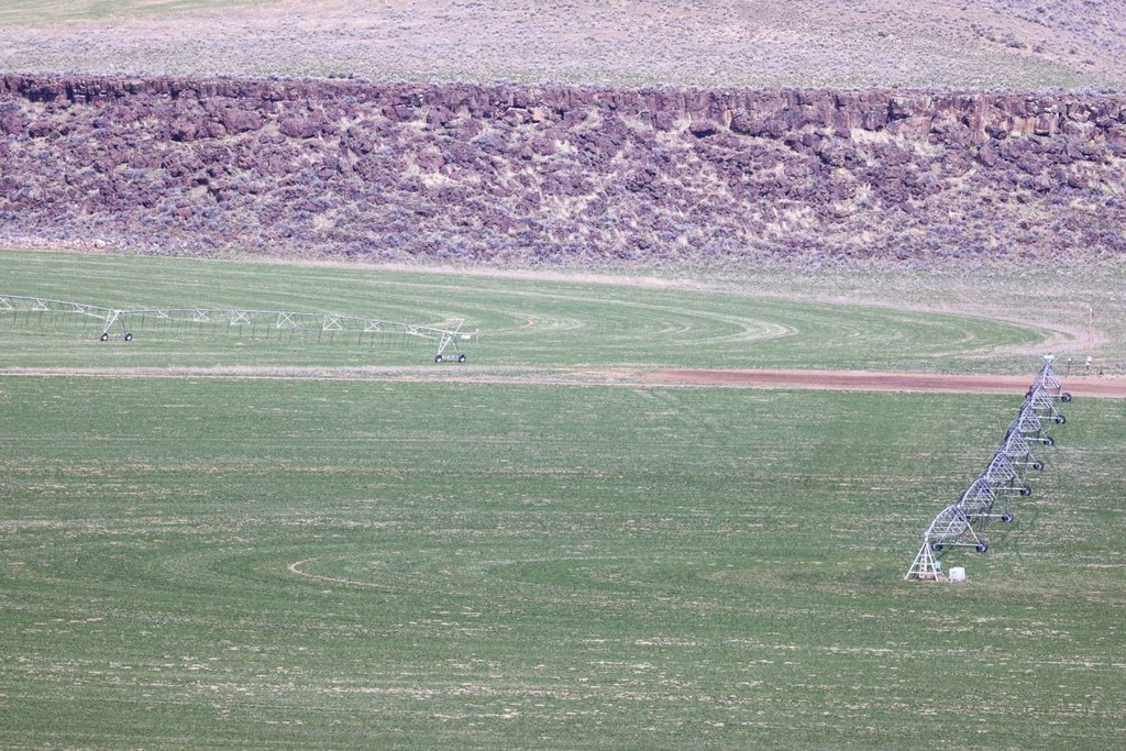
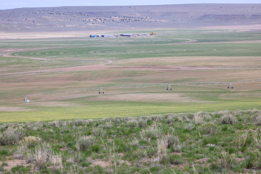
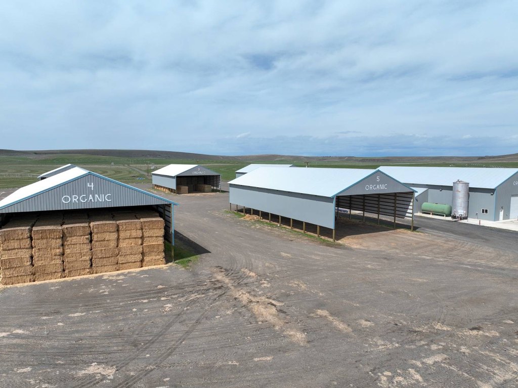
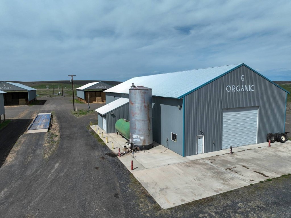
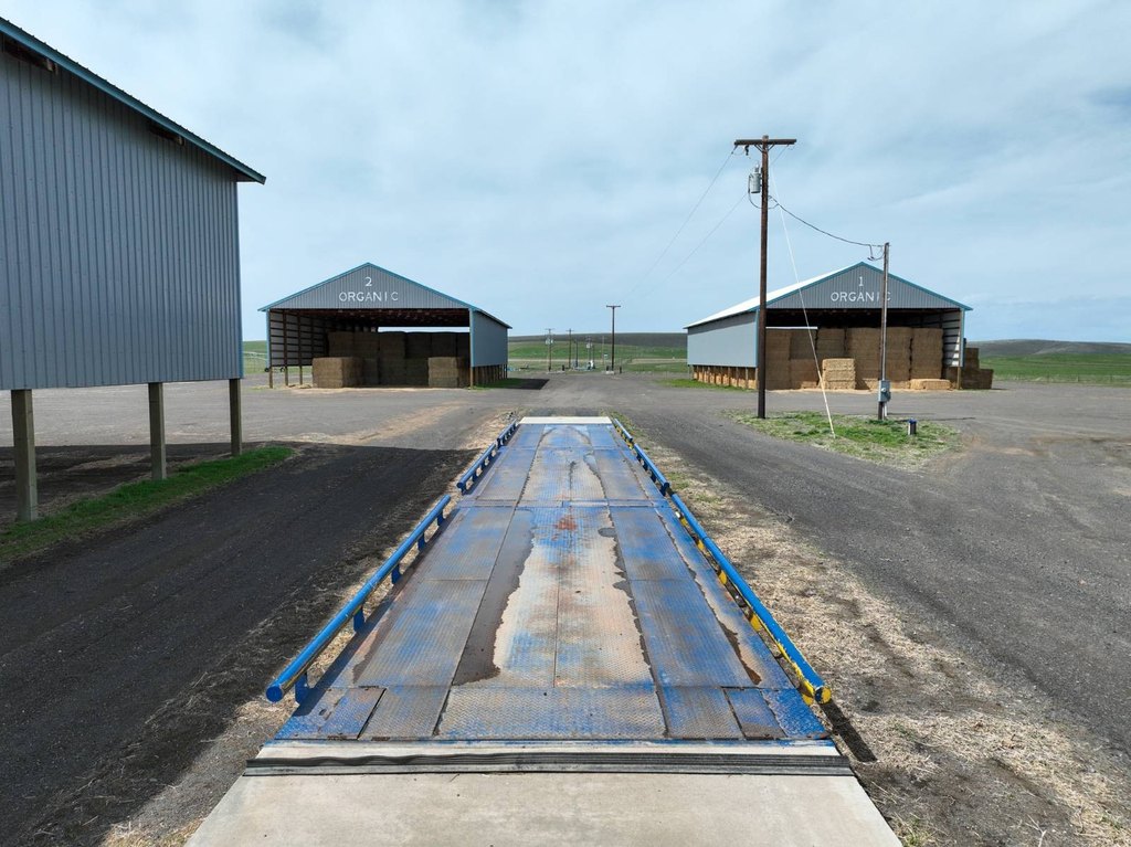
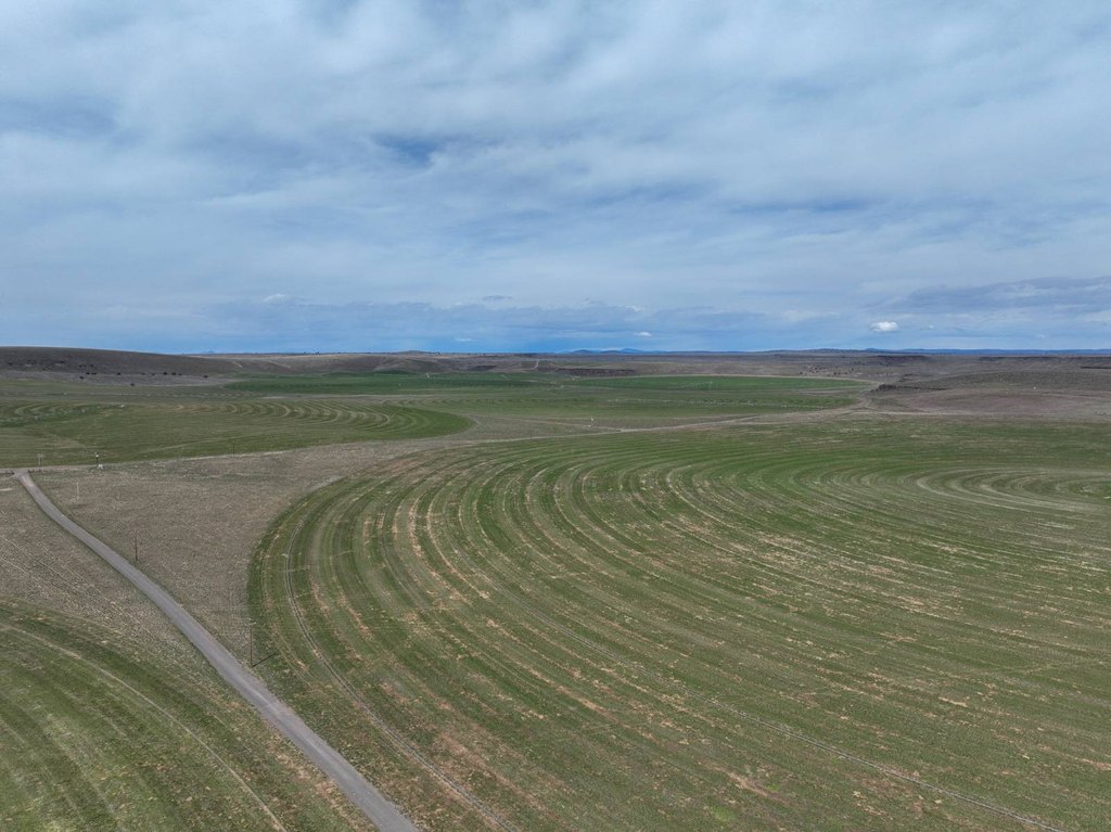
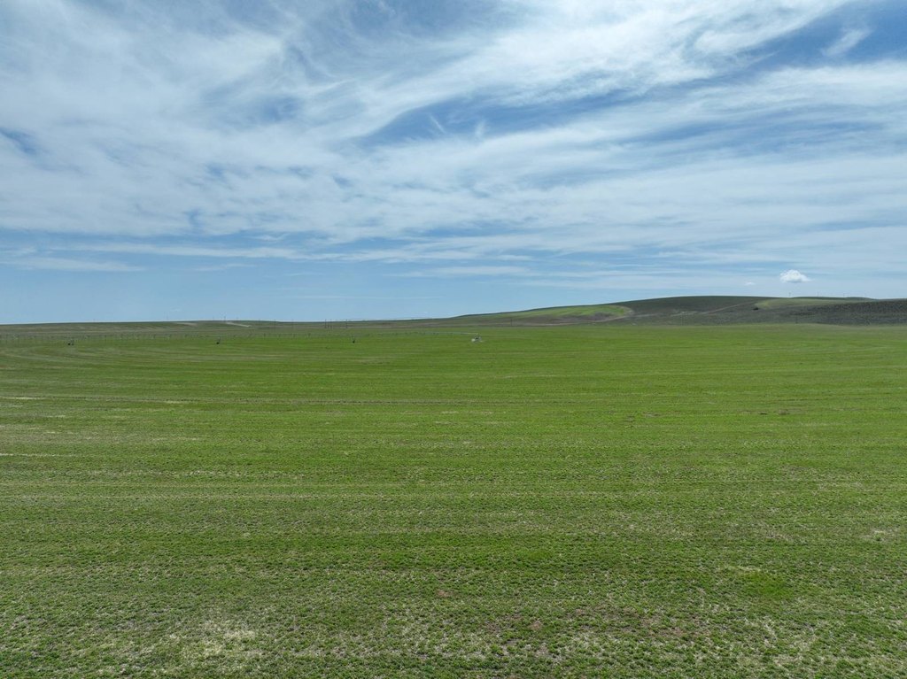
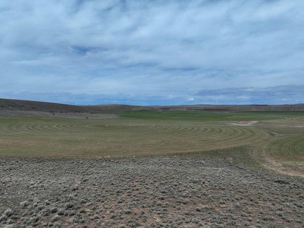
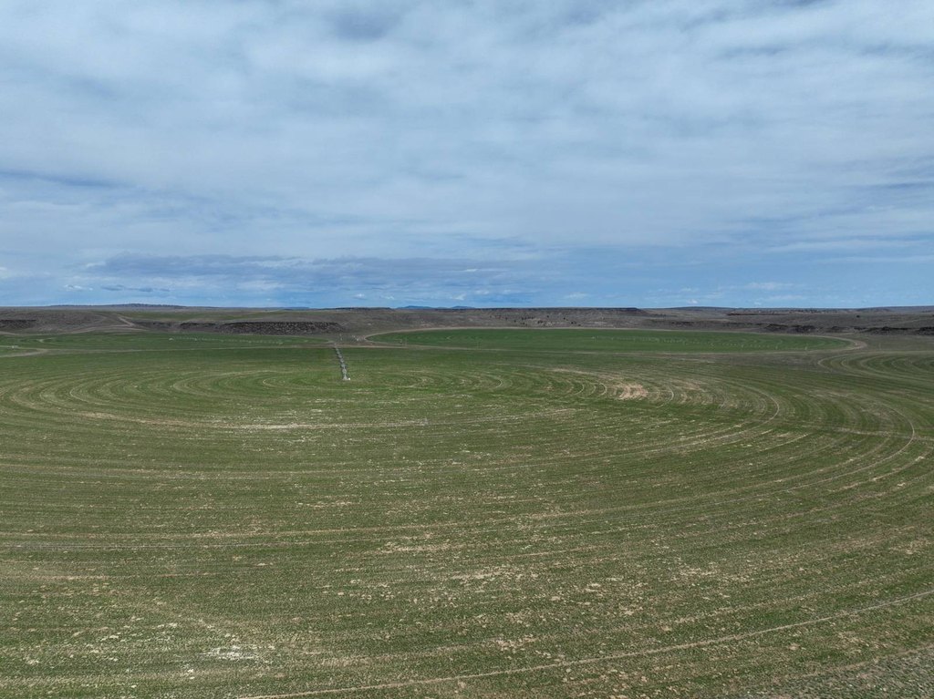
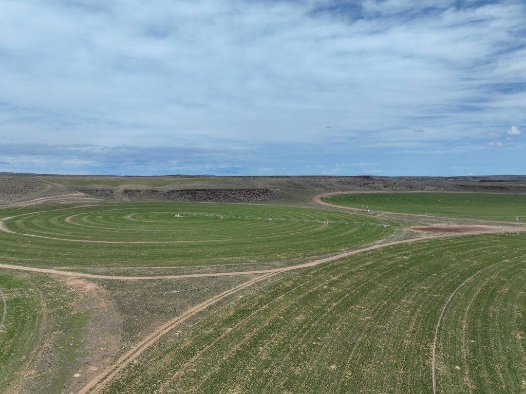
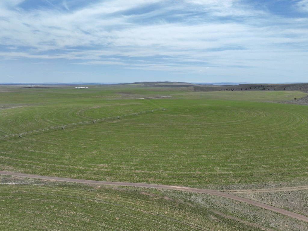
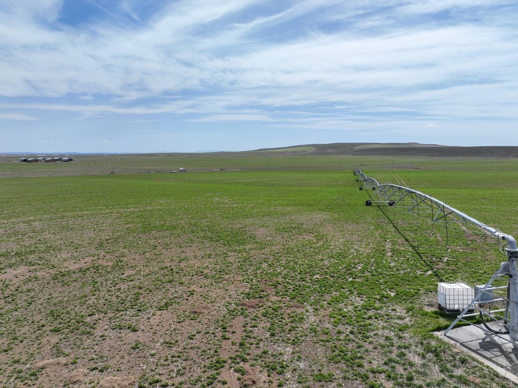
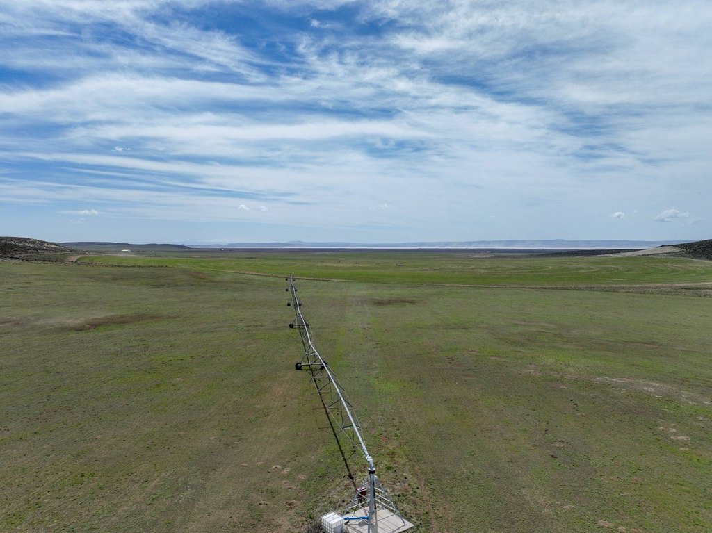
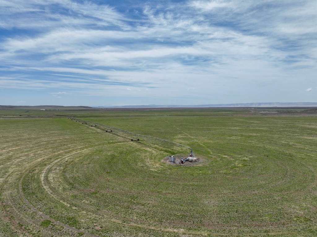
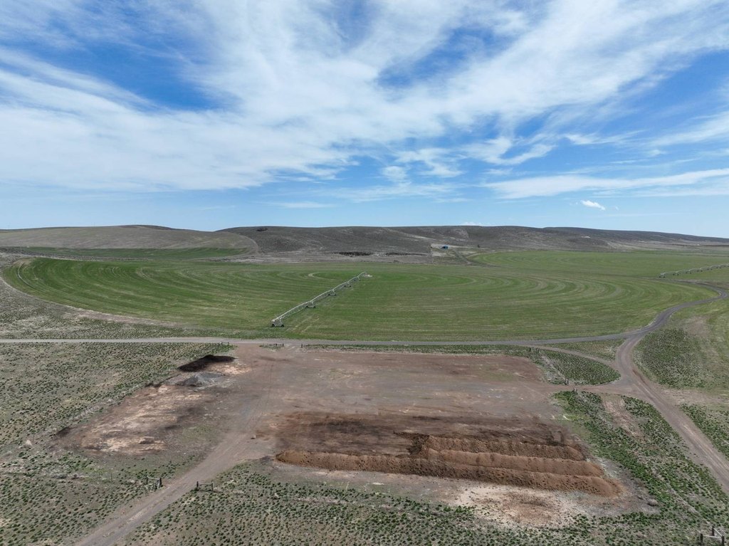
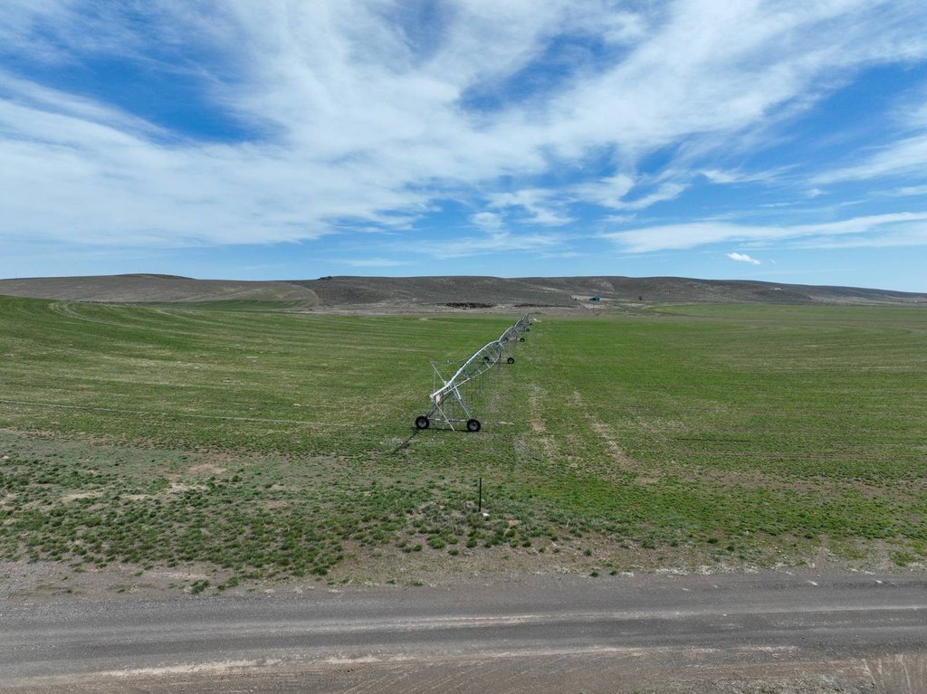
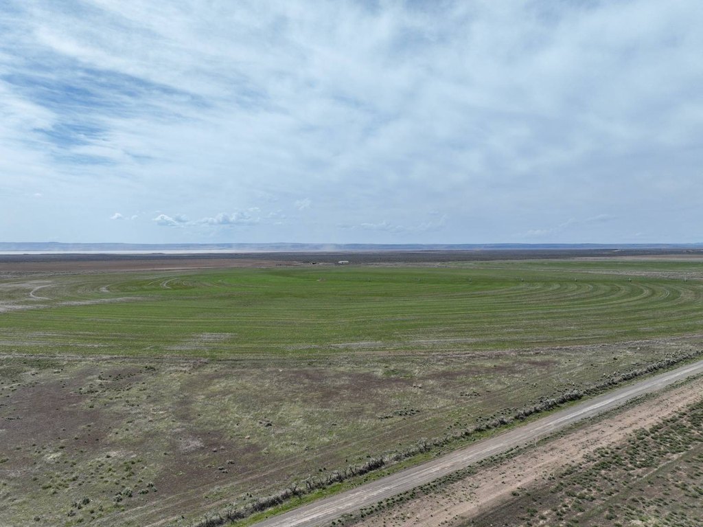
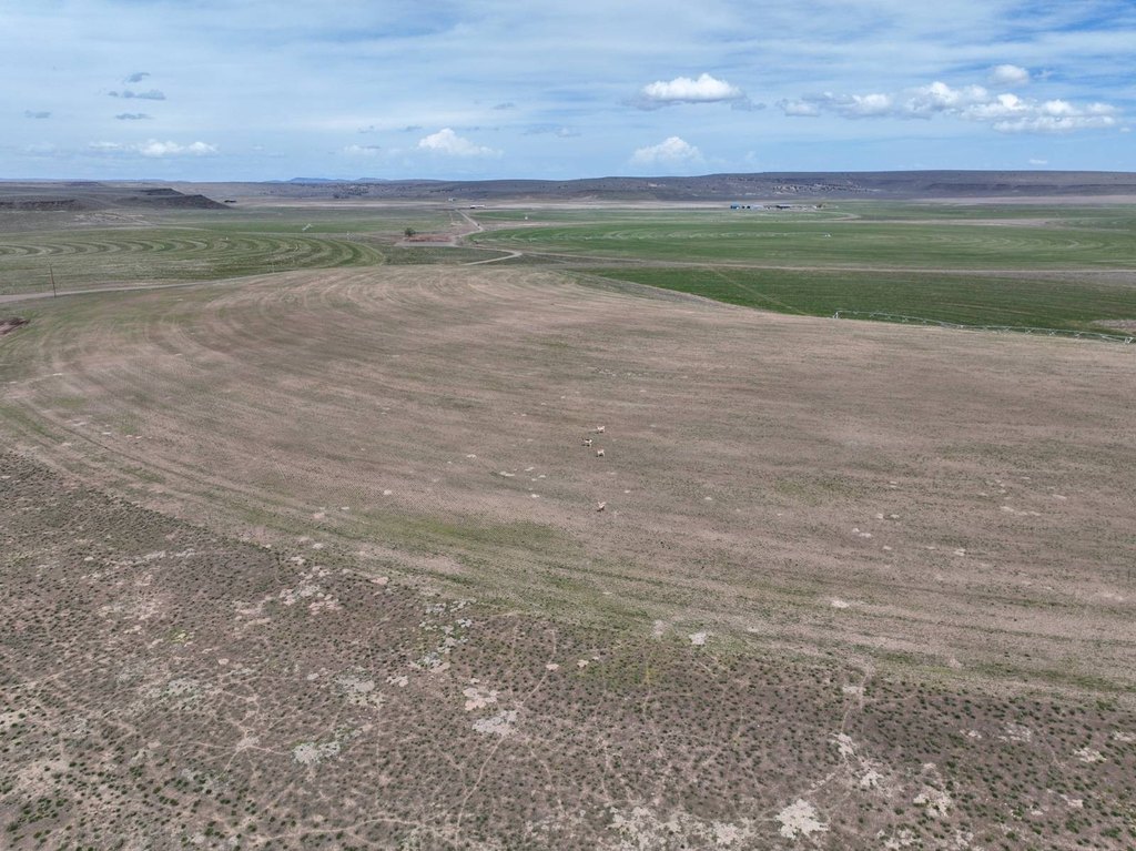
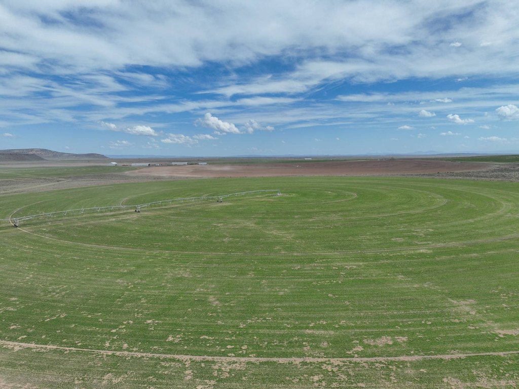
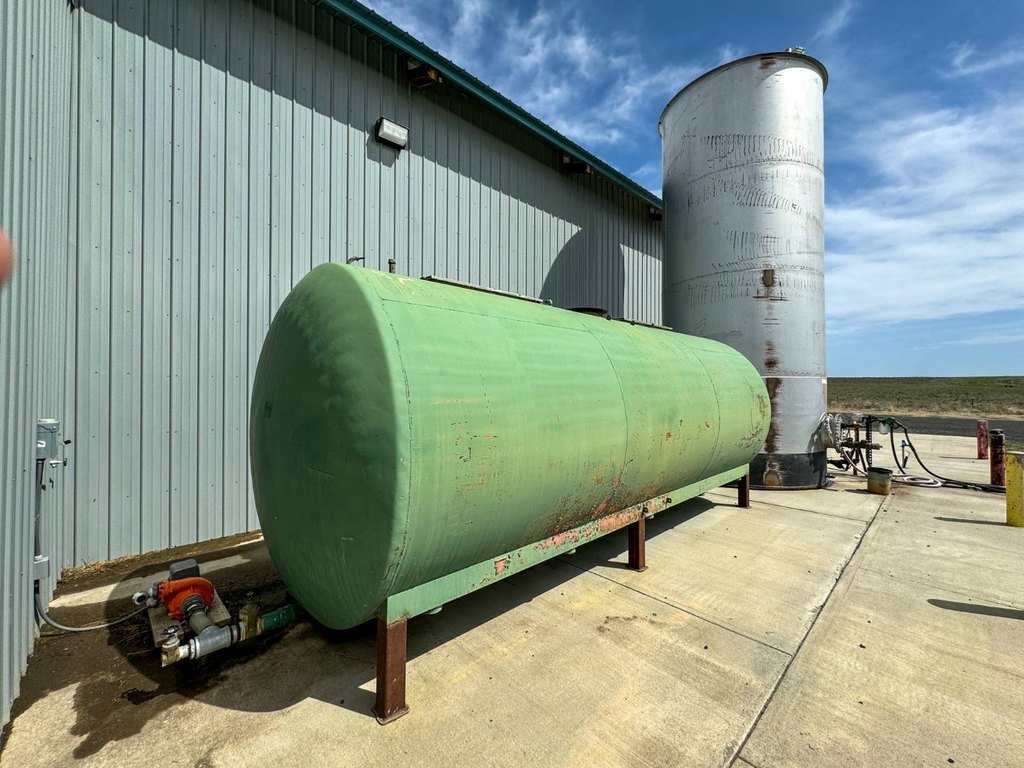
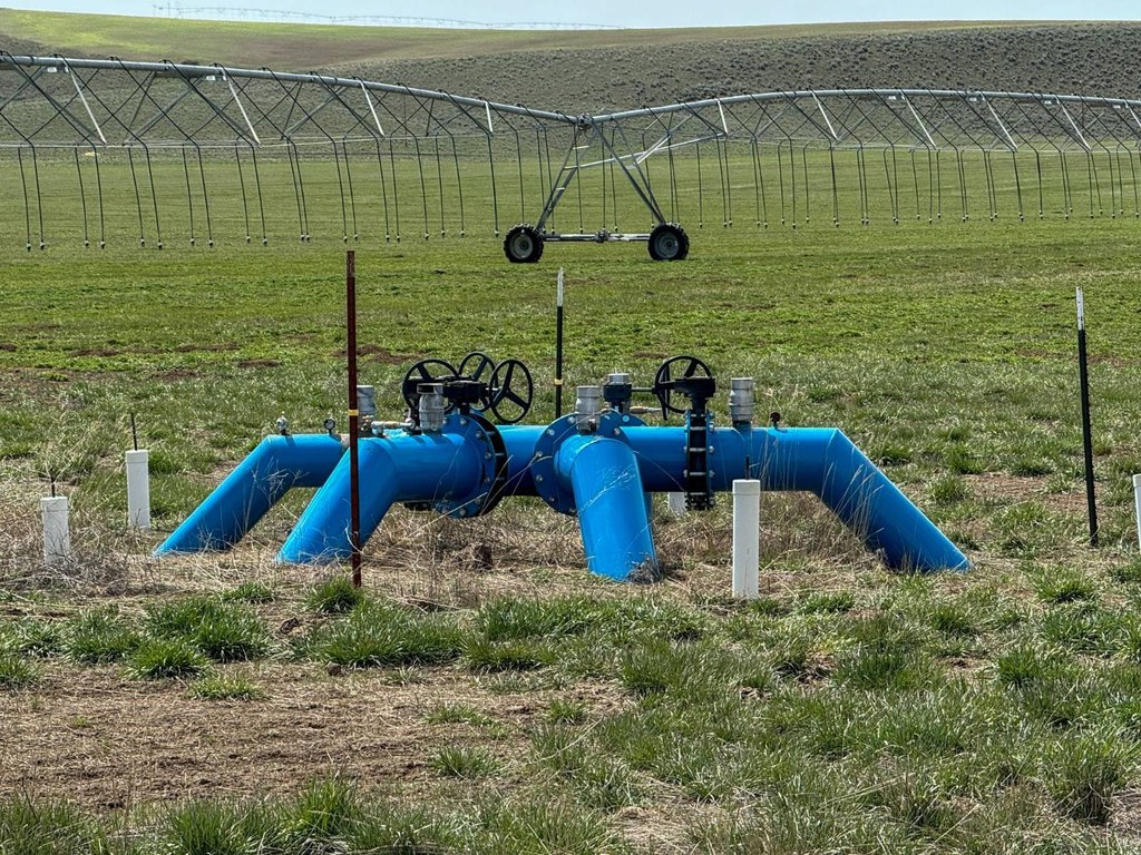
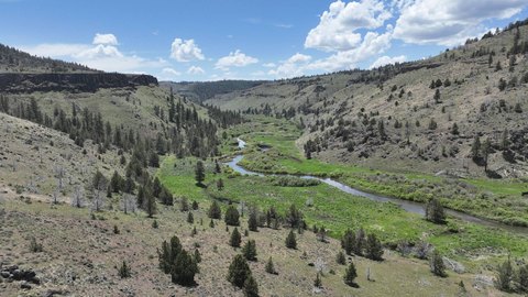
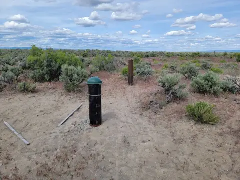
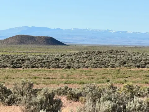
This eastern Oregon farm encompasses 4,958.7+/- deeded acres with rolling terrain, sandy loam soils, irrigated production, native pasture, dryland areas, and acreage supporting improvements. The operation includes hay storage, a shop and commodity building, fueling facilities, truck scales, gravel hay pads, perimeter fencing, cross fencing, and an on-site cinder pit used for roads and pivot tracks. Wells, private septic, cooperative power, and Starlink internet serve the property.
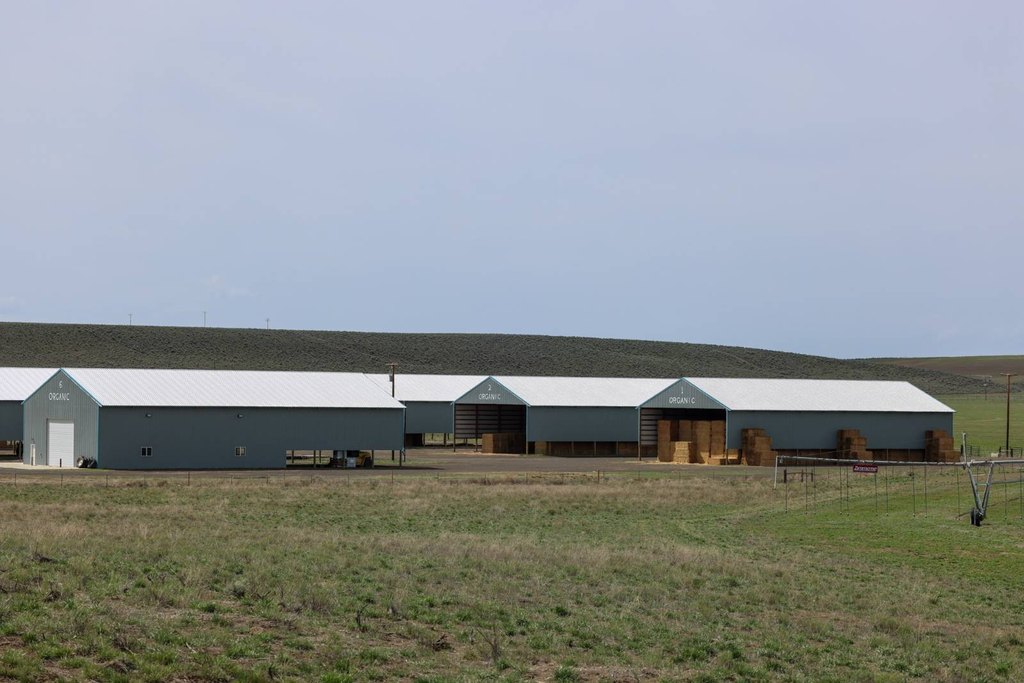
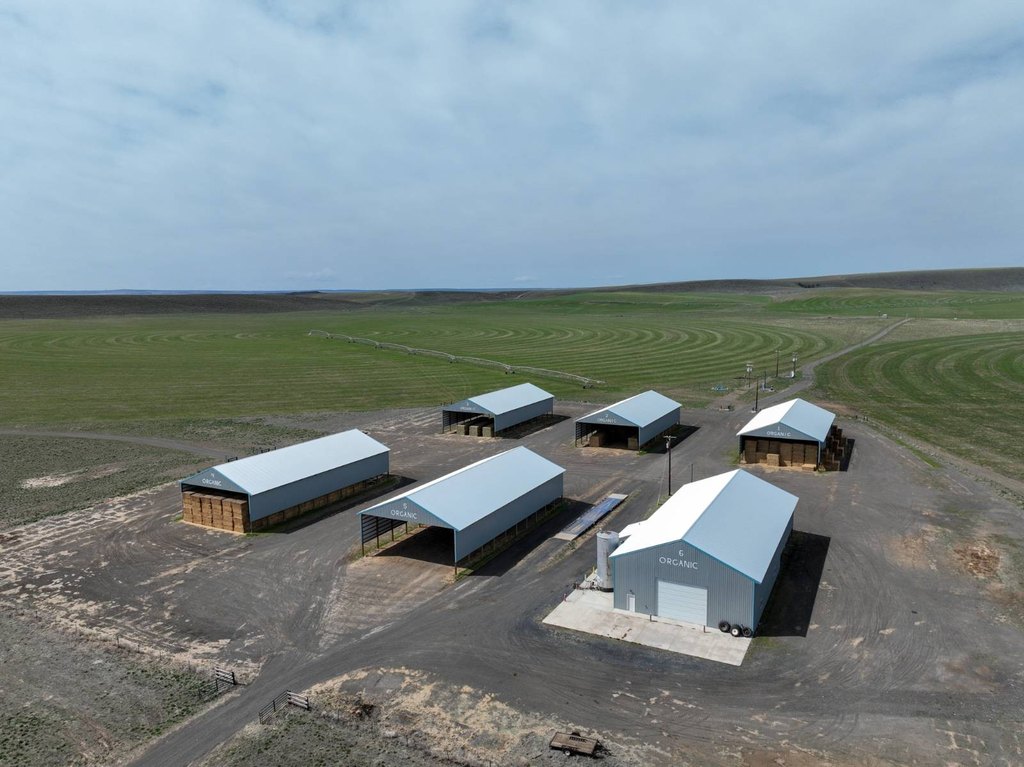
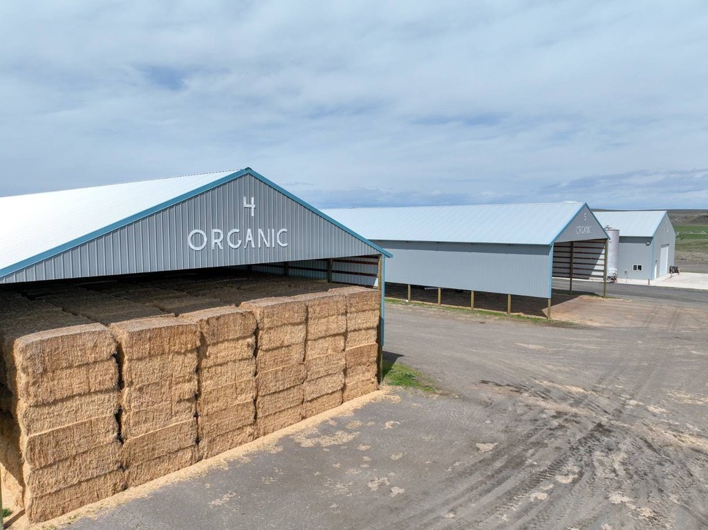
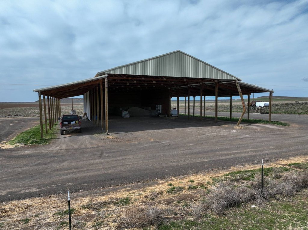
Five hay sheds constructed in 2016/2017 provide 6,480 square feet of storage. Additional improvements include a 1973 shop/storage building measuring 3,200 square feet and a shop/commodity building totaling 6,864 square feet. A 60-ton truck scale is positioned near the central improvements.
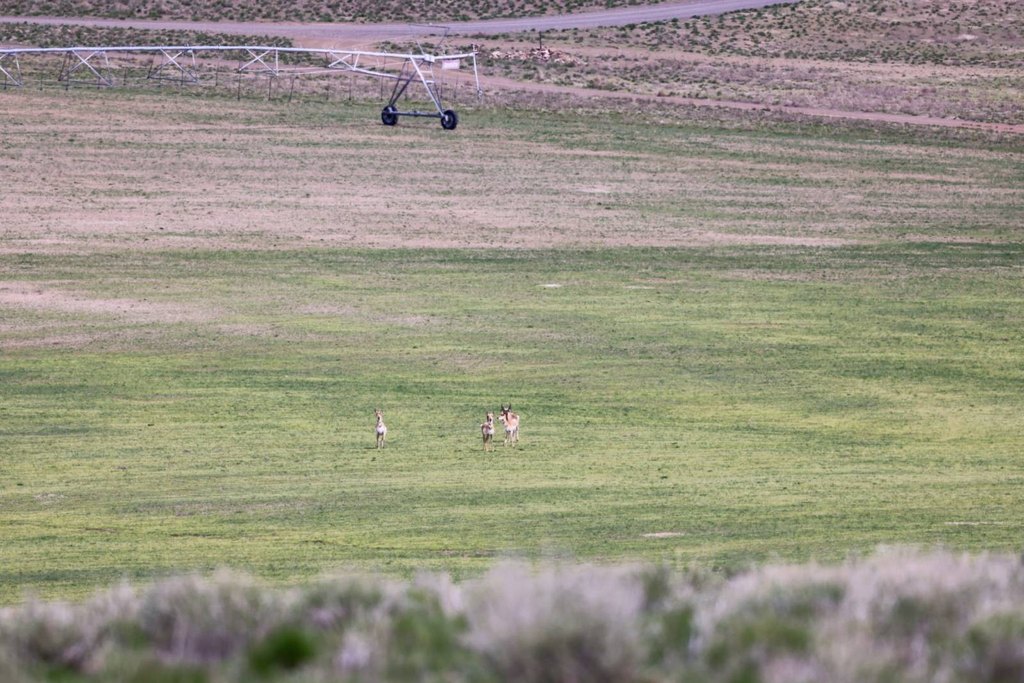
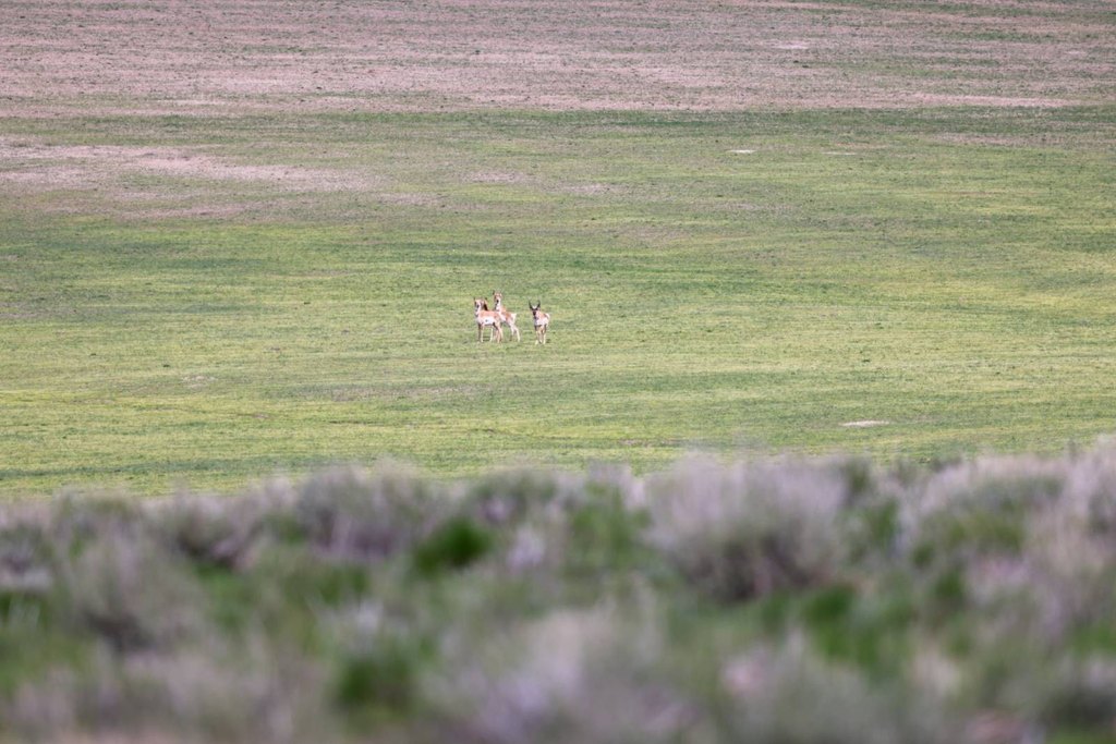
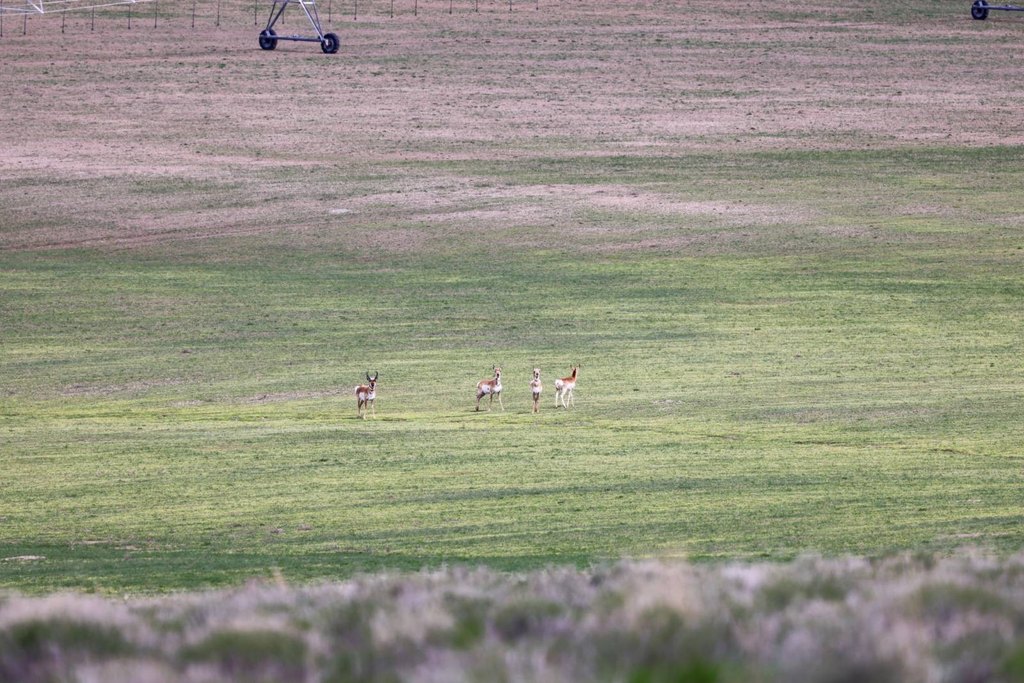
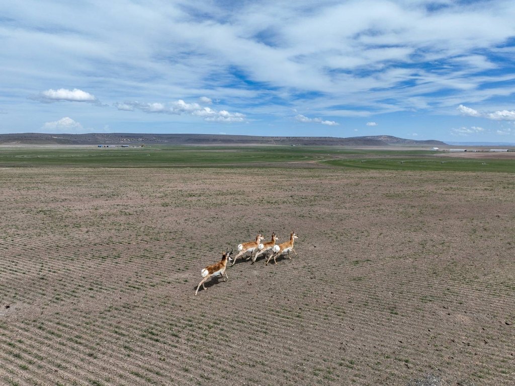
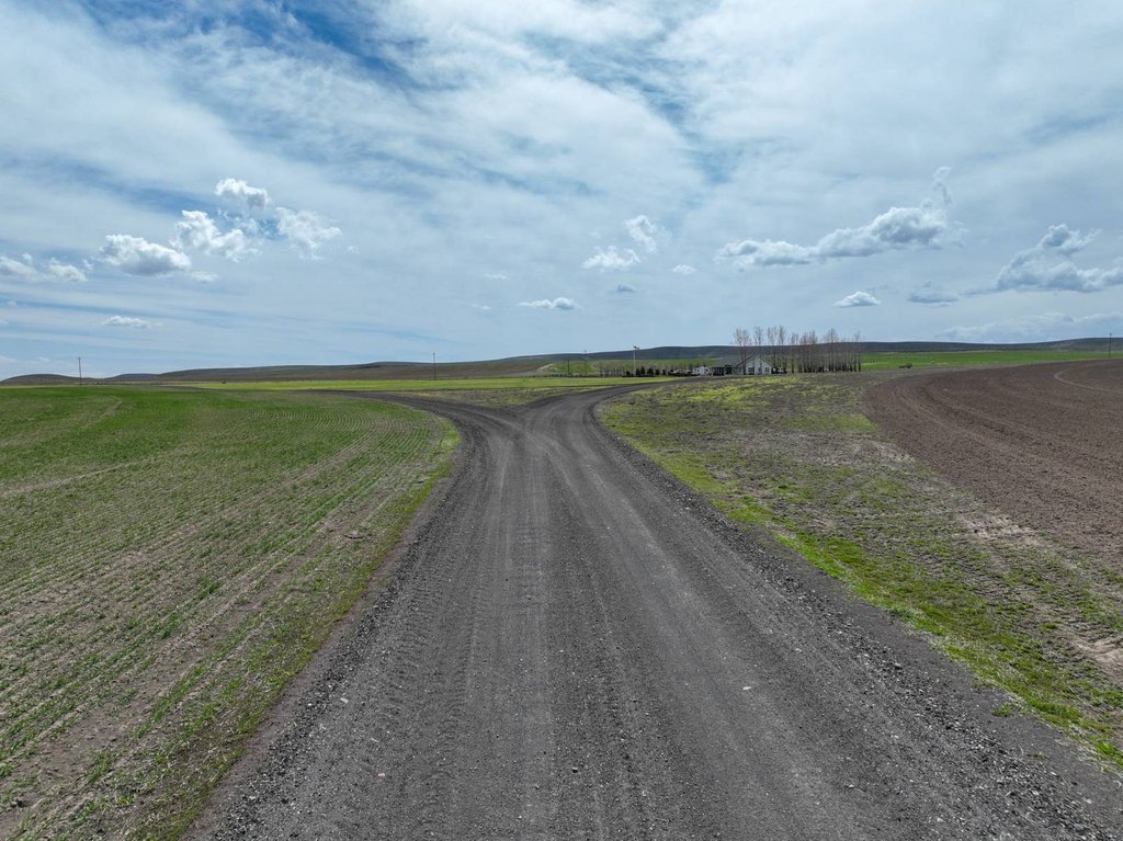
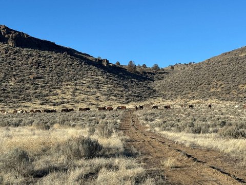
The farm is accessed from a paved county-maintained road and lies approximately 25 miles south of Burns. Four major highways—Hwy 20, Hwy 78, Hwy 205, and Hwy 395—are within 20 minutes. Wildlife includes mule deer, antelope, elk, bald eagles, hawks, and coyotes, with landowner preference hunting tags available.
Five hay sheds constructed in 2016/2017 provide 6,480 square feet of storage. Additional improvements include a 1973 shop/storage building measuring 3,200 square feet and a shop/commodity building totaling 6,864 square feet. A 60-ton truck scale is positioned near the central improvements.
The farm is accessed from a paved county-maintained road and lies approximately 25 miles south of Burns. Four major highways—Hwy 20, Hwy 78, Hwy 205, and Hwy 395—are within 20 minutes. Wildlife includes mule deer, antelope, elk, bald eagles, hawks, and coyotes, with landowner preference hunting tags available.
Key Highlights
- 4,958.7+/- total deeded acres in Harney County
- Five hay sheds constructed in 2016/2017 totaling 6,480 sq ft
- Shop/commodity building measures 6,864 sq ft
Property Analytics
Unlock full access to Insights
Subscribe to Realmo Intelligence
Open Analytics
Current Use
Lease Details
Yes
Highway access
Yes
Paved road access
Yes
Utilities to site
Yes
Water rights
Location Intelligence
Trade Area within ½ mile
Explore this area
Business Placement
Demographics for 97720, OR
4,518
Population
2,247
Households
2
Avg Household Size
46
Median Age
12%
College-Educated
91%
High-School Grad
1,167.4 sq mi
ZIP Area
4
Density / Sq Mi
$43,778
Median Household Income
$26,421
Median Earnings
$702
Median Rent
$170,600
Median Home Value
Check the figures for this property
Cap Rate, Value Estimation, Potential NOI and more
View Realmo Analytics

Questions? Ask Rey
Realmo’s AI knows this listing — price, zoning, demand, history. Ask anything.



Frequently Asked Questions
What type of property is this?
Farm - High-desert farm with extensive irrigation infrastructure, hay storage, central service improvements, and paved-road access.
Where is this farm located?
The property is located at TL 2501 Weaver Springs Lane Burns, OR.
What is the asking price?
The asking price for this property is $9,750,000.
What are key features of this property?
This property features: 4,958.7+/- total deeded acres in Harney County; Five hay sheds constructed in 2016/2017 totaling 6,480 sq ft; Shop/commodity building measures 6,864 sq ft



