Riverfront Agricultural

For Sale
$1,000,000
Burns, OR 97720, Burns, OR 97720
Land, Burns, OR
Property SizeContact for details
Lot Size517.35 Acres
Days on Market1462
Property Features
General Information
Property type
Land
Property subtype
Other
View
River
Standard status
Active
Lot size
517.35 Acres
Taxes and HOA fees
Tax Annual Amount
517
Utilities
Water front features
River Front, Creek
Water front
1
Listing Agency:
Jett Blackburn Real Estate Inc.
(541) 413-5660
Listed By:
Curt Blackburn · License #900200215
(541) 573-7206
Added: Oct 4, 2022
Changed: Sep 15
Last Checked: Oct 4 at 4:06PM
MLS# 11114360
Copyright © 2026 My State MLS. All rights reserved. All information provided by the listing agent/broker is deemed reliable but is not guaranteed and should be independently verified.
Investment Insights
Based on property information with market context.
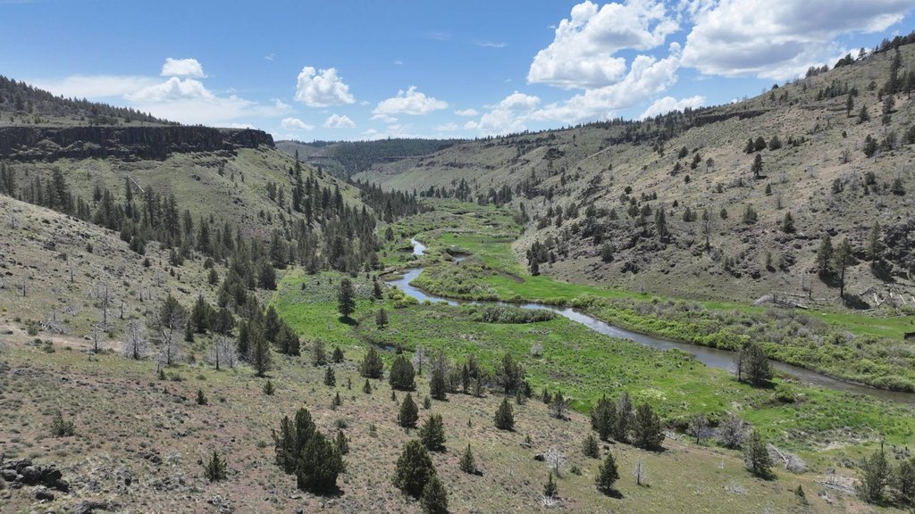
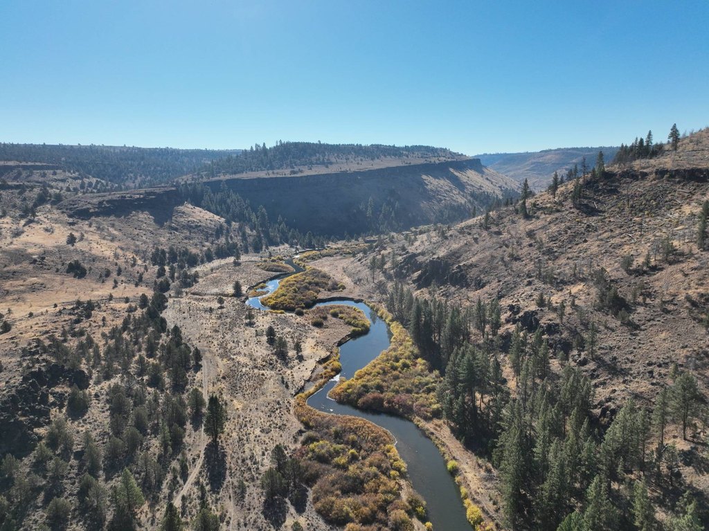
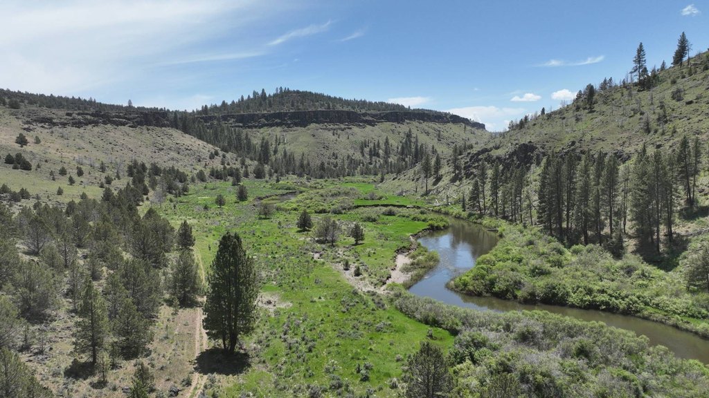
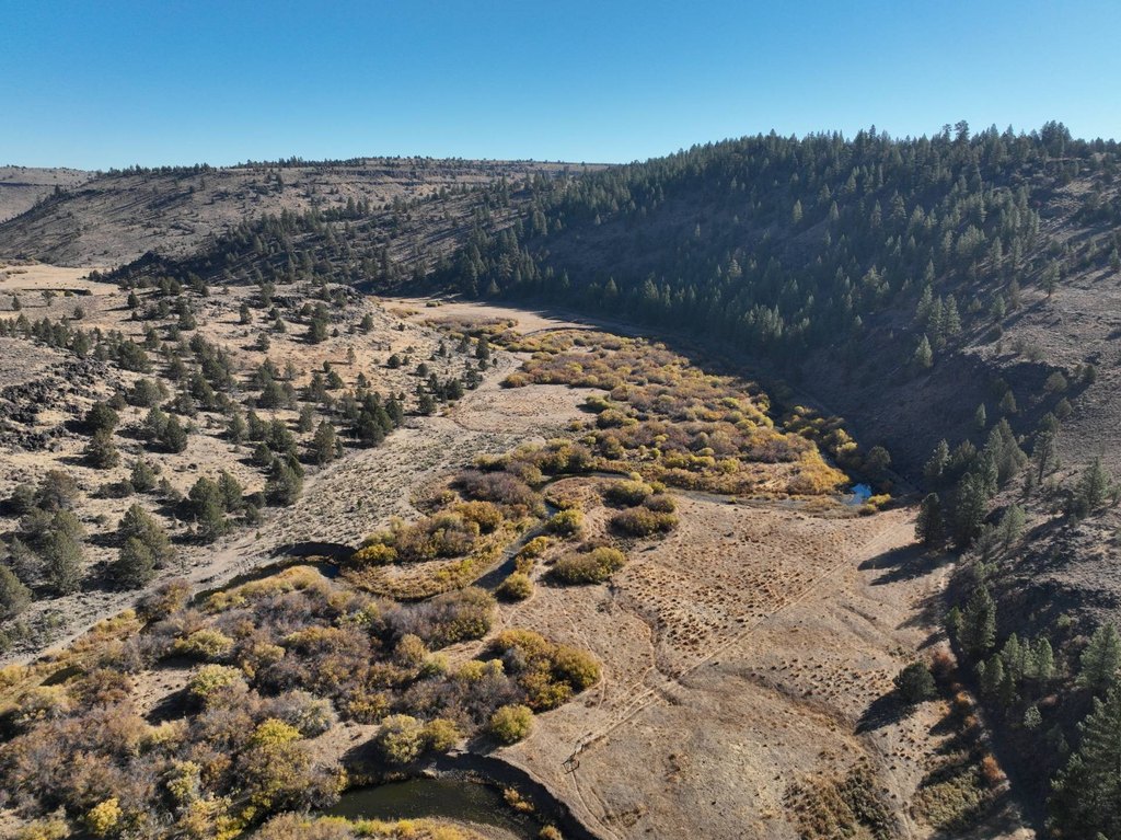
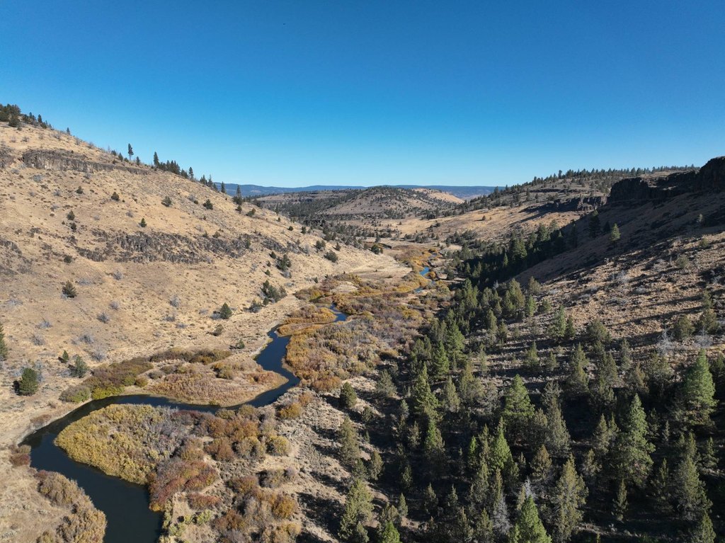
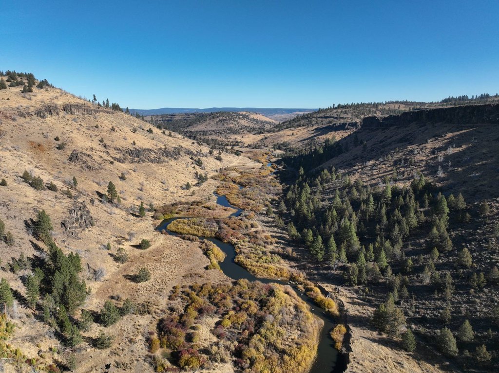
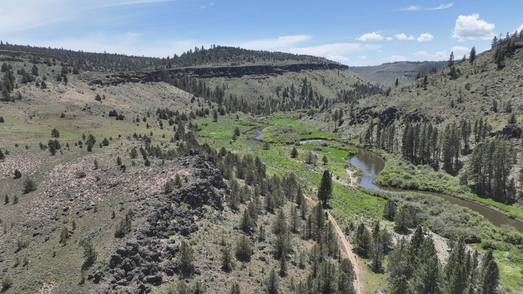
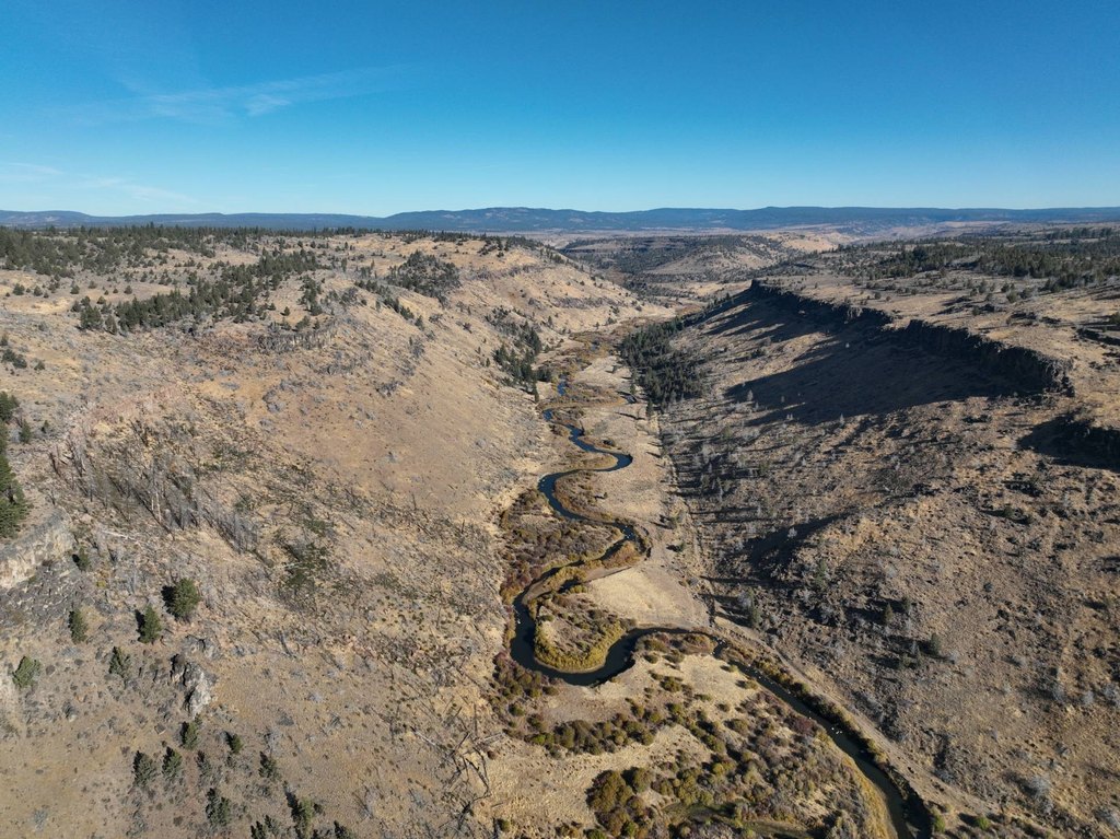
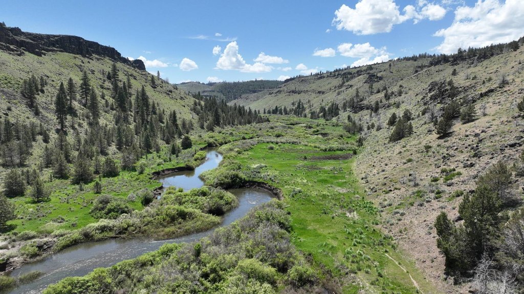
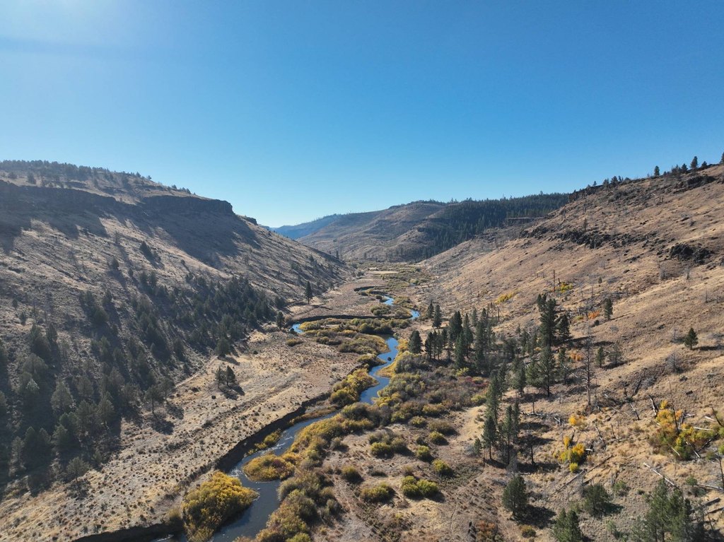
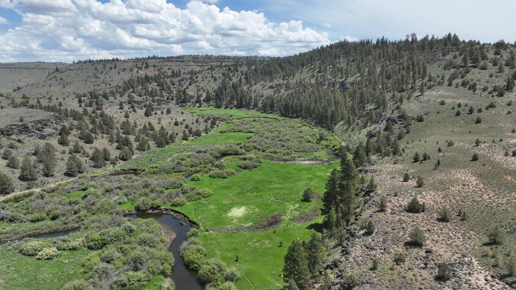
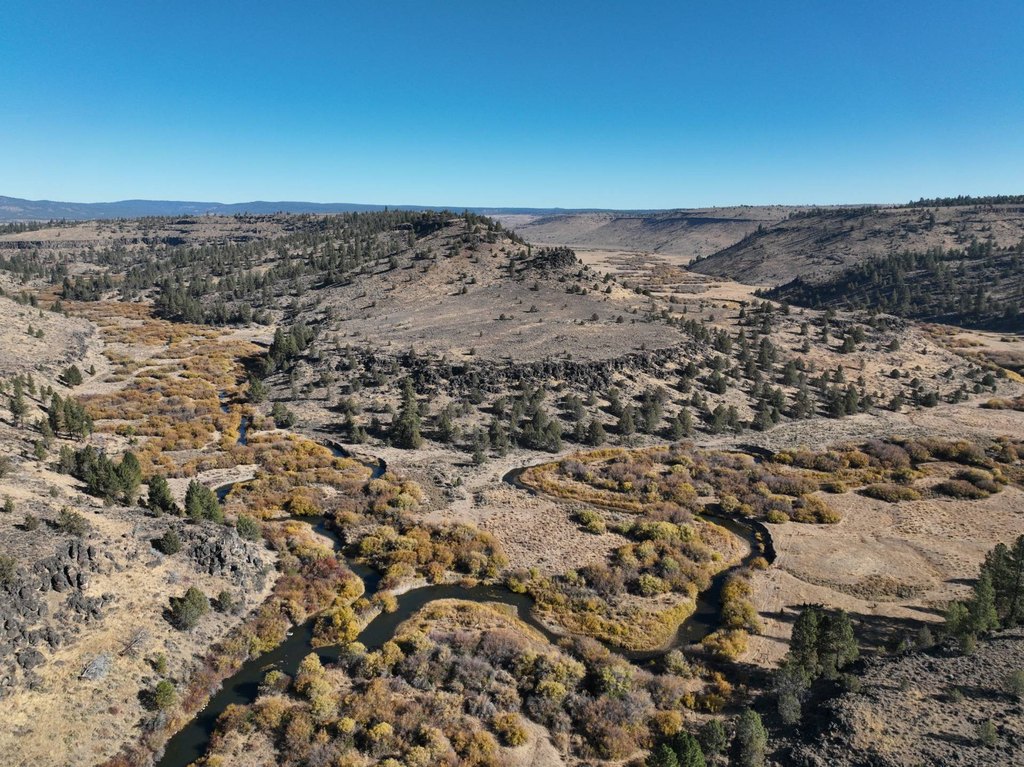
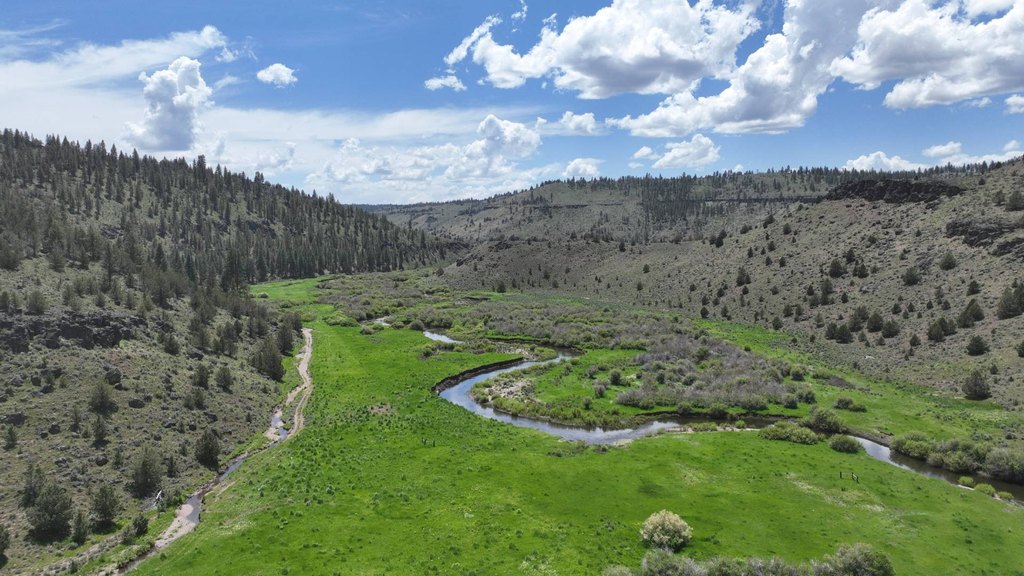
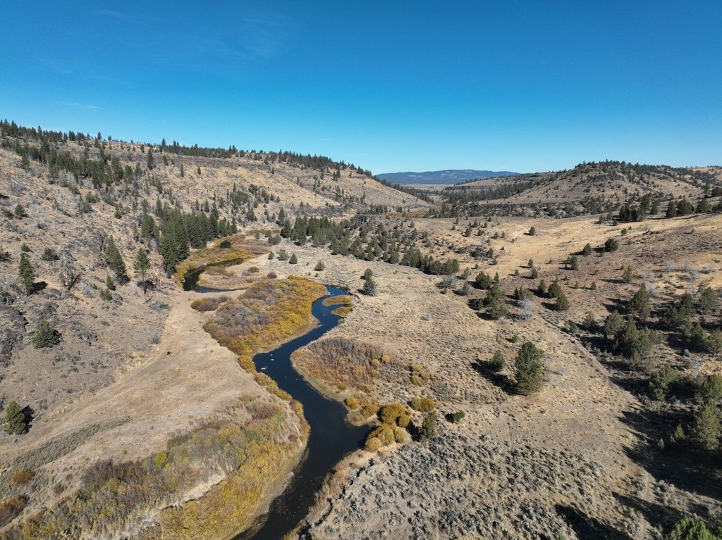
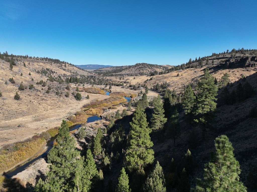
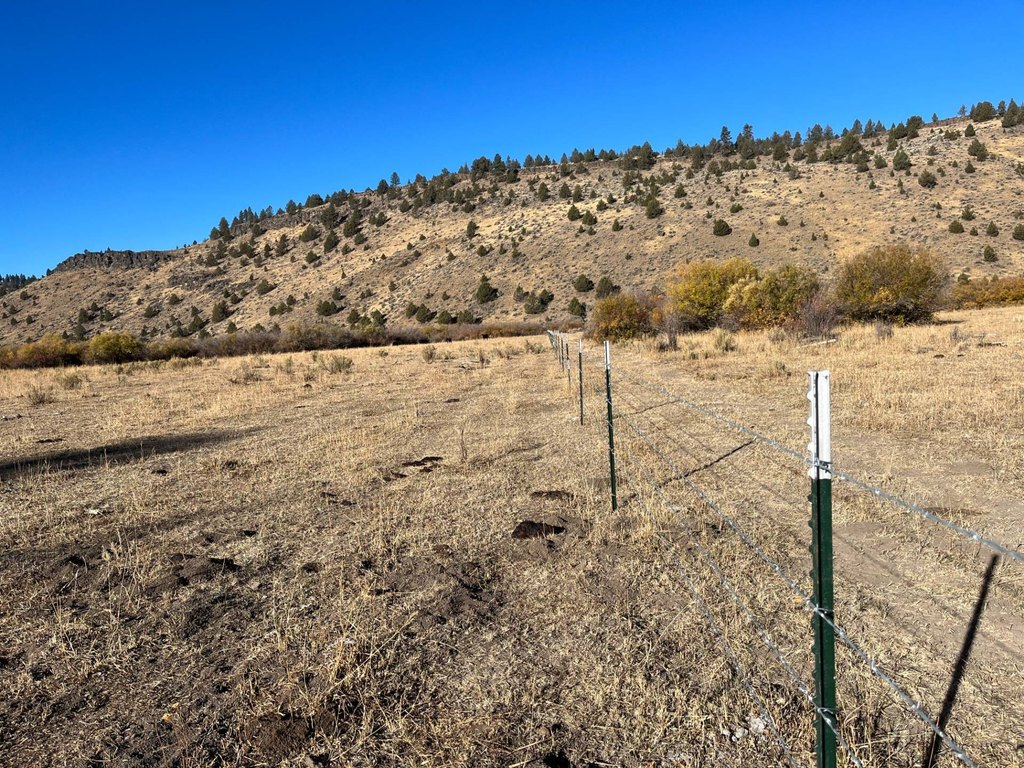
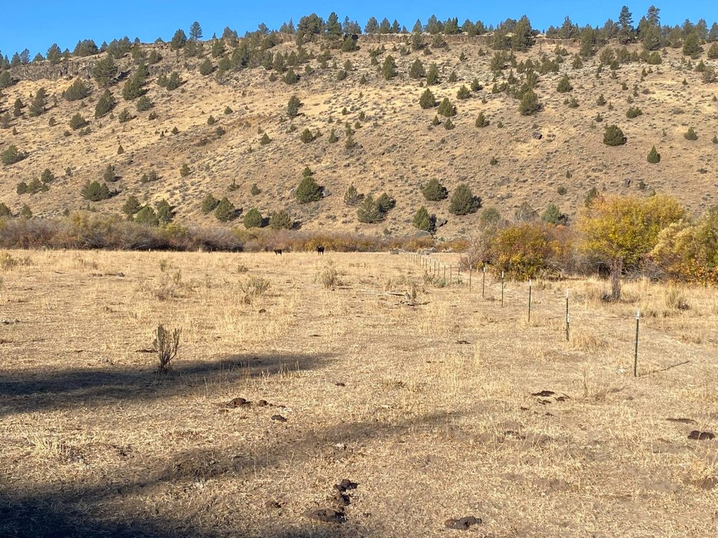
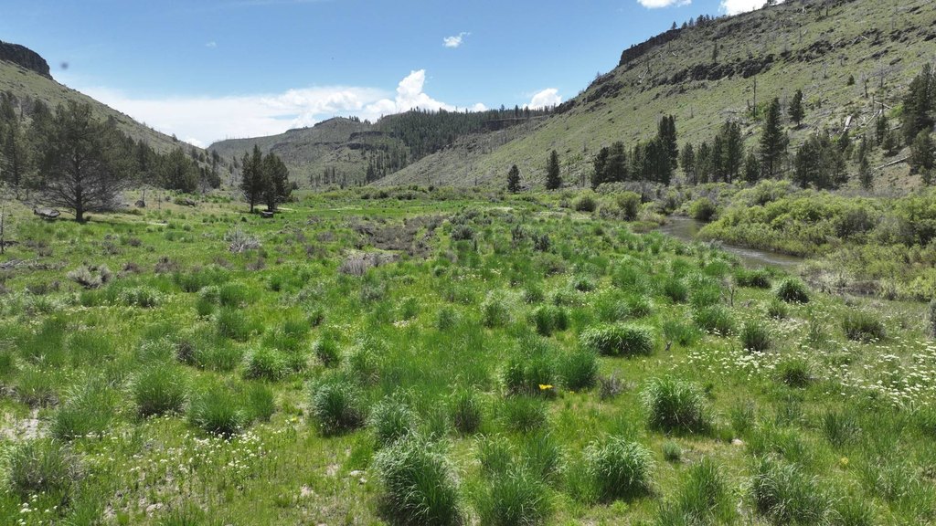
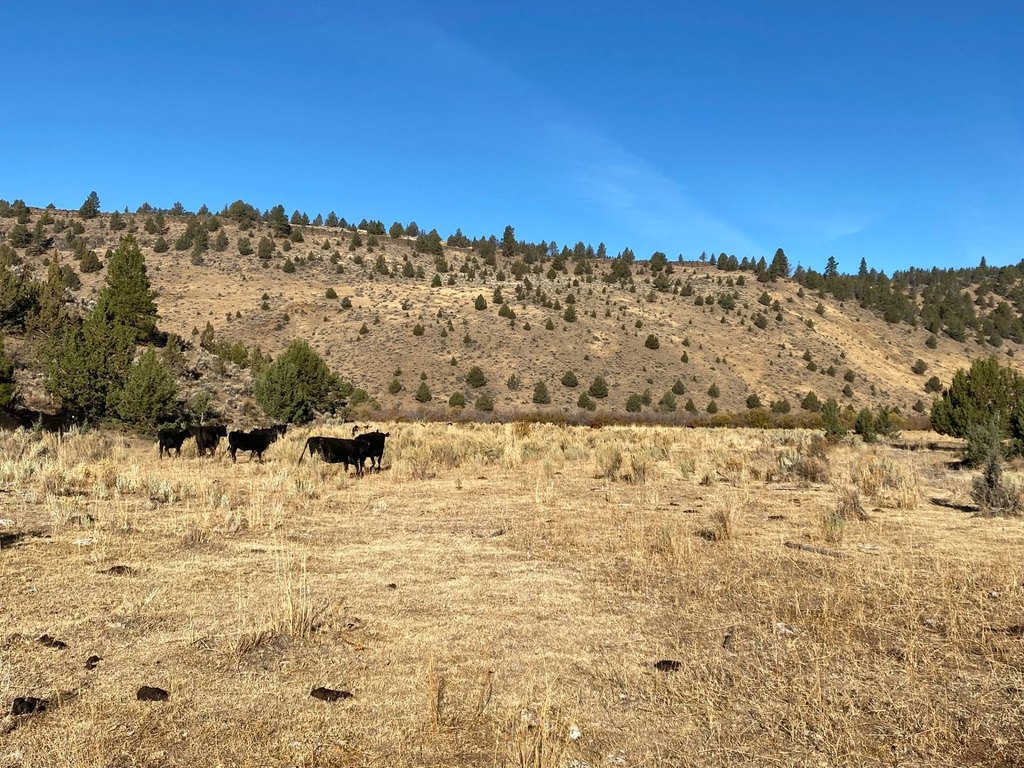
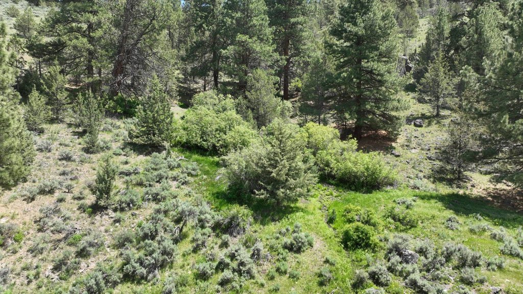
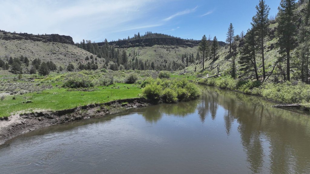
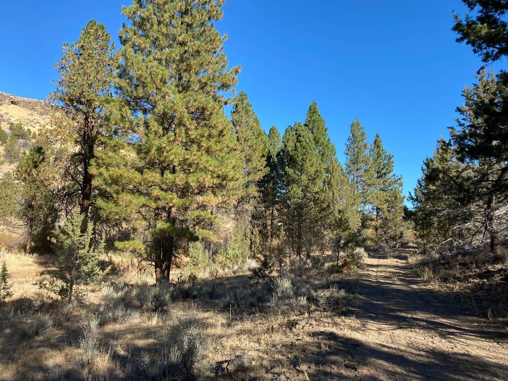
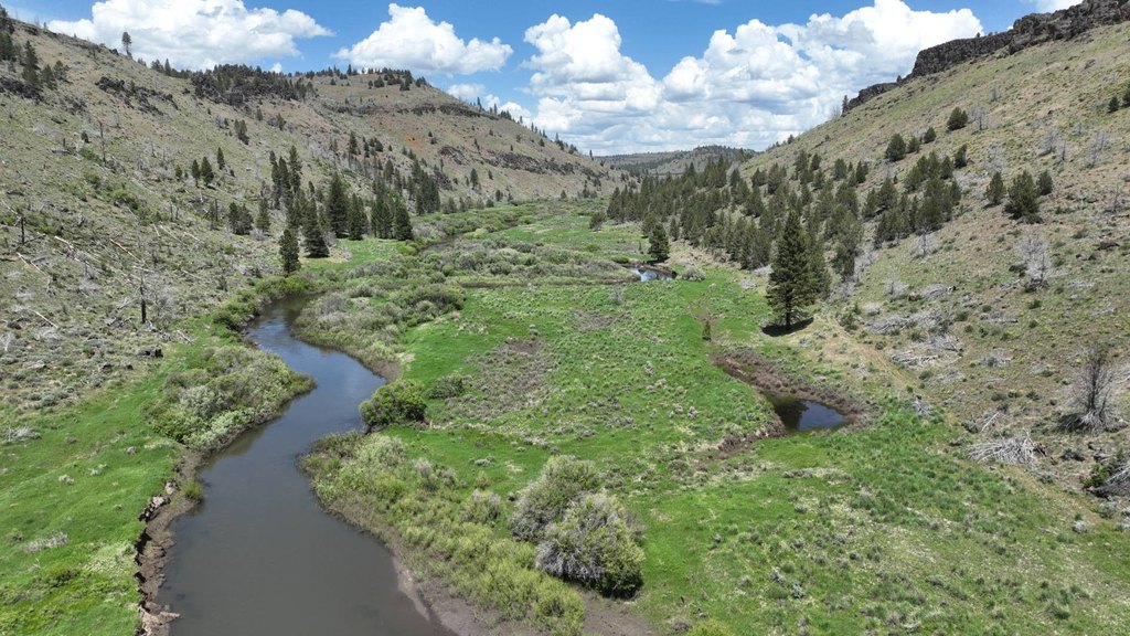
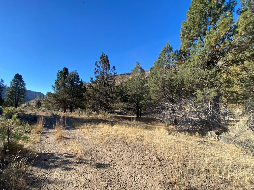
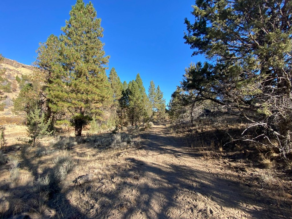
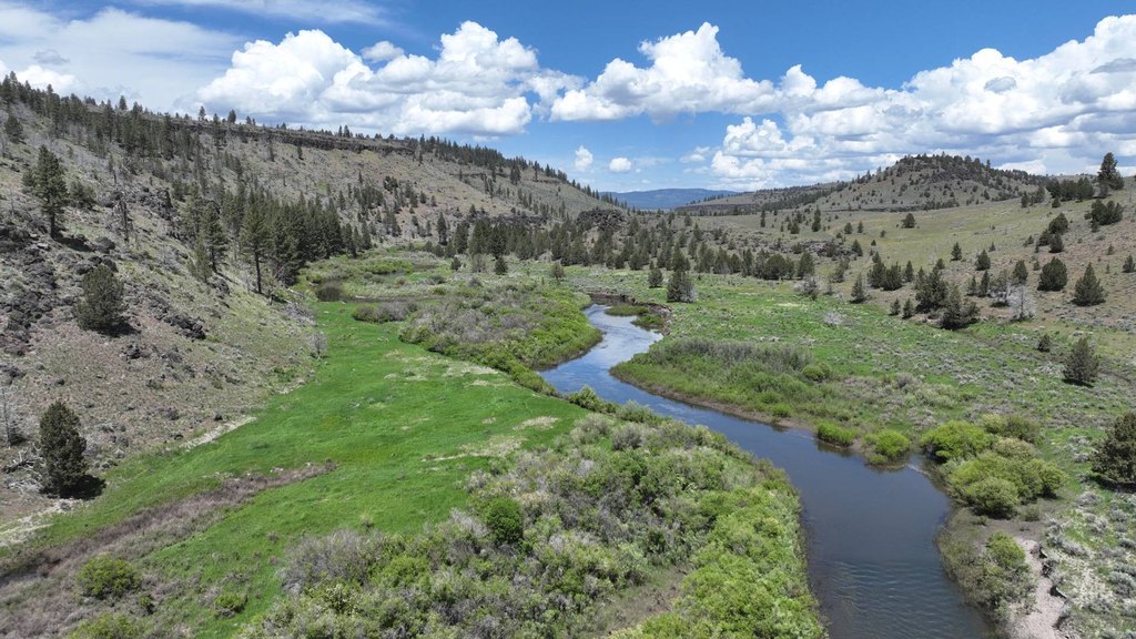
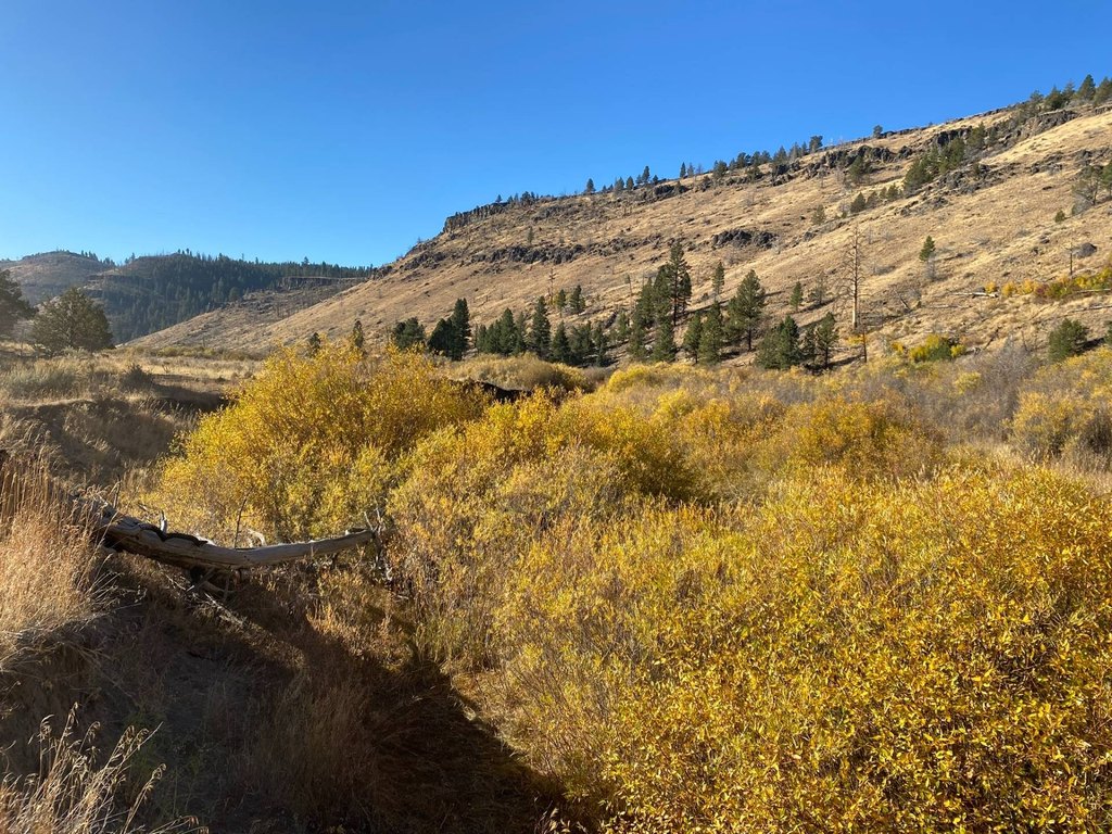
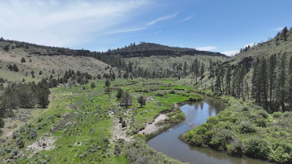
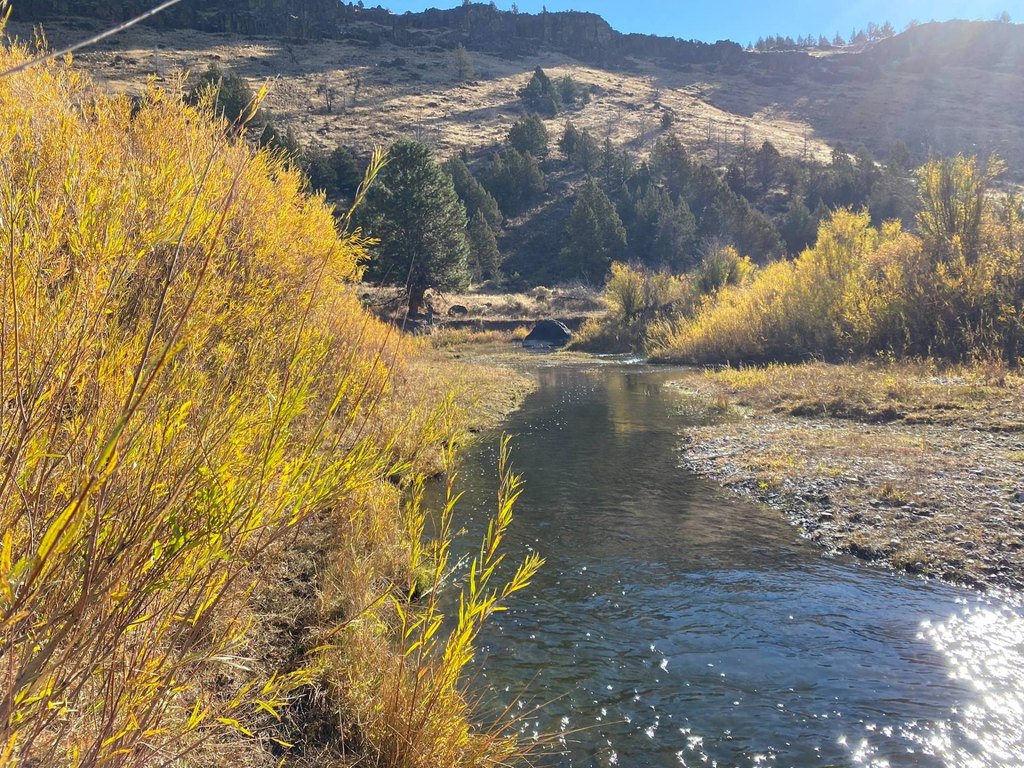
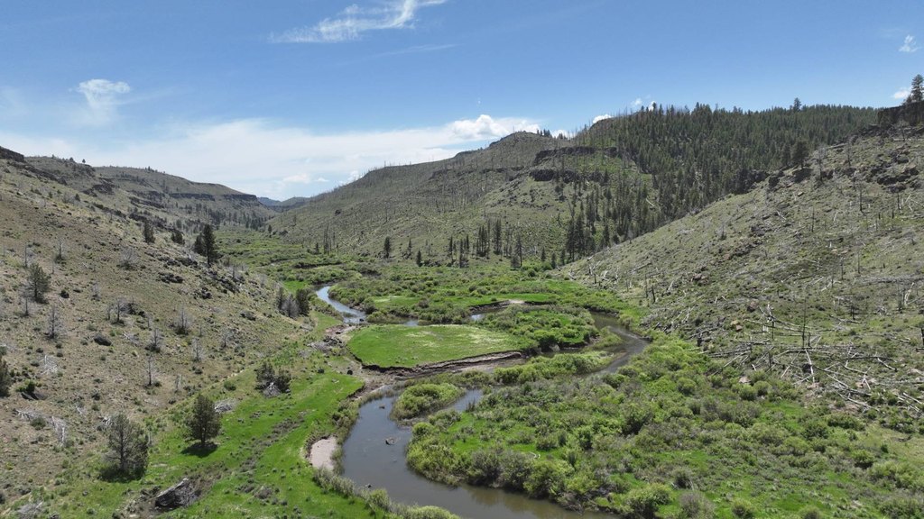
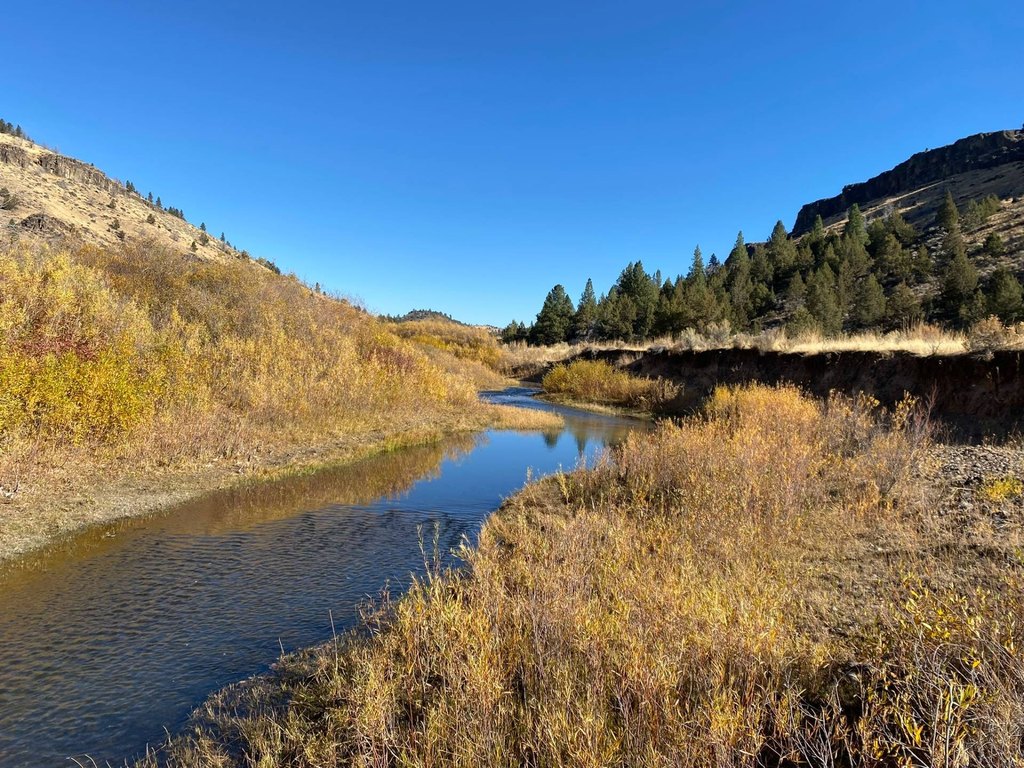
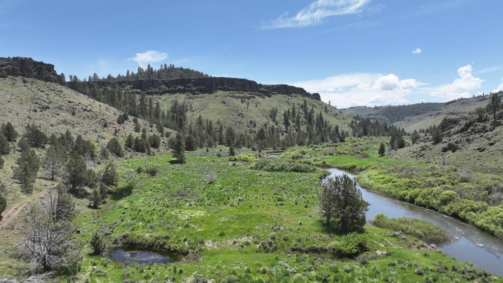
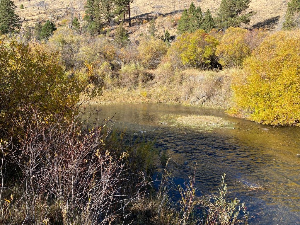
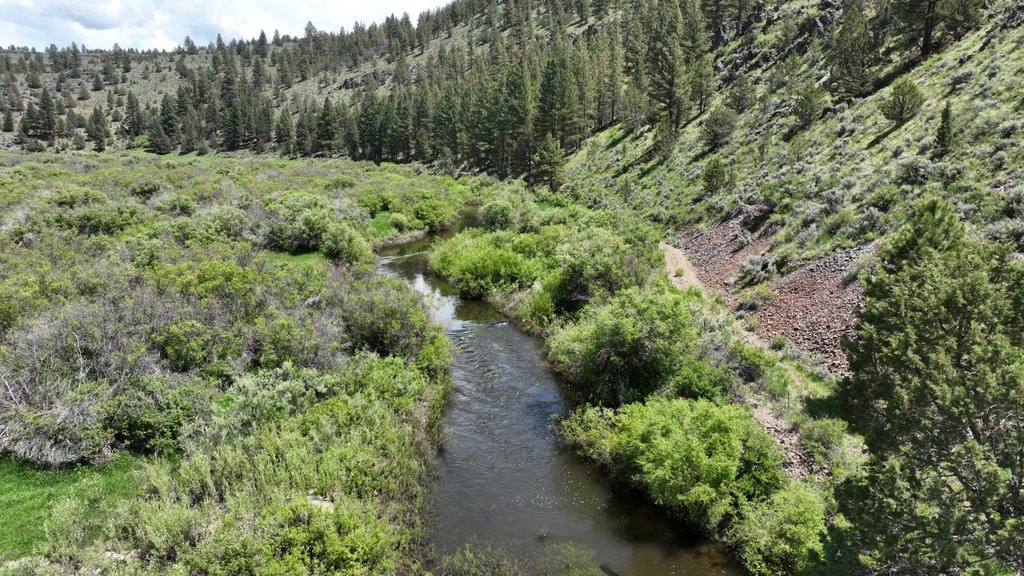
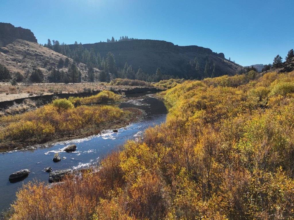
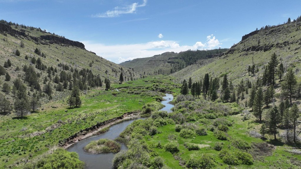
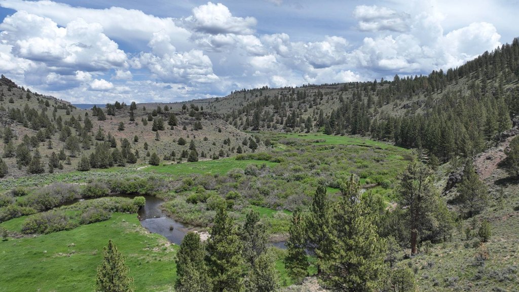
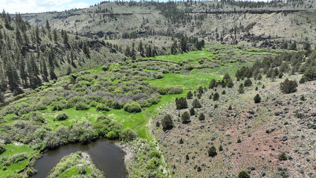
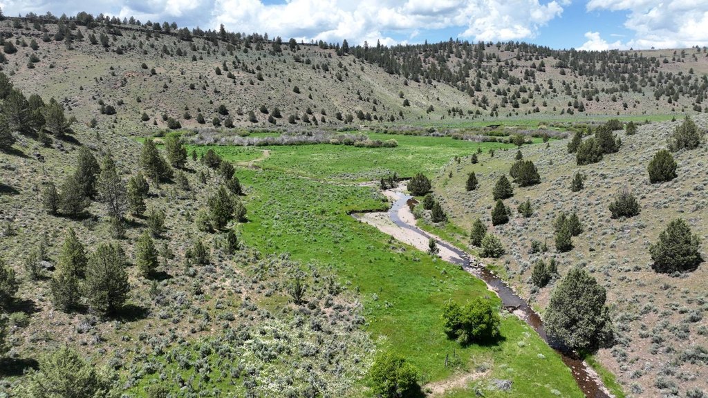
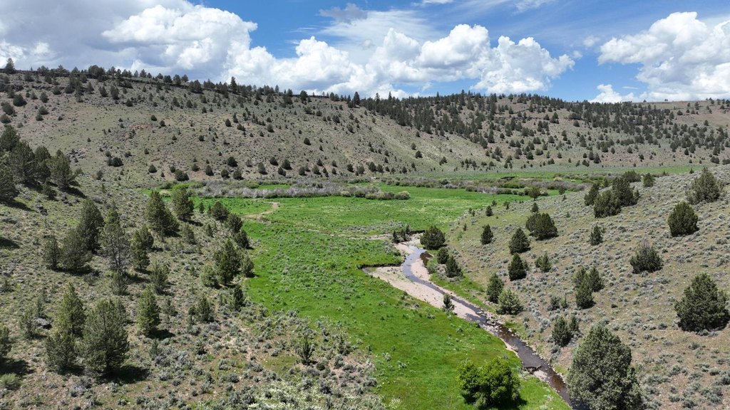
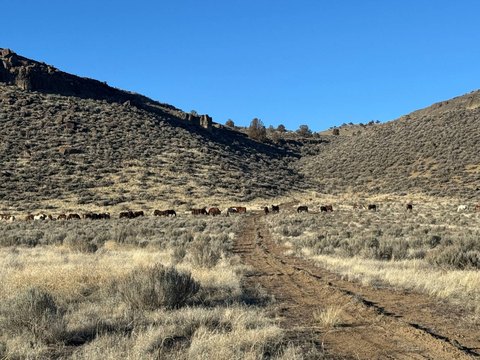
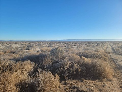
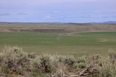
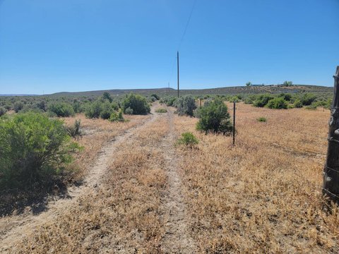
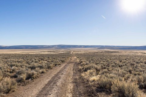
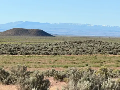
This agricultural land combines open meadows, pine trees, willows, and rimrock across a varied Eastern Oregon setting. The property is fenced throughout and cross-fenced for cattle grazing, with the Silvies River and Emigrant Creek meeting nearby. River frontage supports trout fishing, while the surrounding terrain provides habitat for elk and deer.
Located approximately 20 minutes north of Burns, the property sits near thousands of acres of public land within the Silvies Hunting Unit. It includes four tax lots and qualifies for two LOP elk and deer tags. Water rights include approximately 68.9 acres of flood rights from the Silvies River, with a priority date of 12/31/1889.
Located approximately 20 minutes north of Burns, the property sits near thousands of acres of public land within the Silvies Hunting Unit. It includes four tax lots and qualifies for two LOP elk and deer tags. Water rights include approximately 68.9 acres of flood rights from the Silvies River, with a priority date of 12/31/1889.
Key Highlights
- Around 2.5 miles of river frontage along the Silvies River
- Fenced throughout and cross‑fenced for cattle grazing
- Includes open meadows, pine trees, willows, and rimrock
Property Analytics
Current Use
Lease Details
Yes
Fenced yard
Yes
Water rights
Location Intelligence
Demographics for 97720, OR
4,518
Population
2,247
Households
2
Avg Household Size
46
Median Age
12%
College-Educated
91%
High-School Grad
1,167.4 sq mi
ZIP Area
4
Density / Sq Mi
$43,778
Median Household Income
$26,421
Median Earnings
$702
Median Rent
$170,600
Median Home Value

Questions? Ask Rey
Realmo’s AI knows this listing — price, zoning, demand, history. Ask anything.




Frequently Asked Questions
What type of property is this?
Agricultural land / Farmland - Fenced agricultural property with grazing capability, river frontage, varied terrain, and access to trout fishing.
Where is this agricultural land / farmland located?
The property is located at Burns, OR.
What is the asking price?
The asking price for this property is $1,000,000.
What are key features of this property?
This property features: Around 2.5 miles of river frontage along the Silvies River; Fenced throughout and cross‑fenced for cattle grazing; Includes open meadows, pine trees, willows, and rimrock



