Vail, AZ Land

For Sale
$39,900
20405 S Sonoita Highway, Vail, AZ 85641
Land, Vail, AZ
Property SizeContact for details
Lot Size1.28 Acres
Days on Market245
Property Features for 20405 S Sonoita Highway
General Information
Property type
Land
Property subtype
Other
Zoning
Pima County - RH
Subdivision
Unsubdivided
Lot features
North/ South Exposure
Elementary school
Call
Middle school
Call
High school
Call
Elementary school district
Empire
Middle school district
Empire
High school district
Empire
Directions
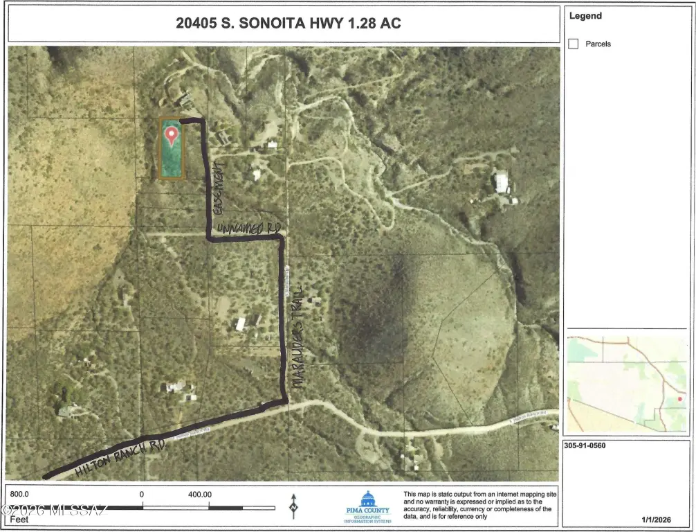
From I-10 & SONOITA HWY, drive S to HILTON RANCH RD. Left to MARAUDER'S TRAIL. Turn LEFT (N) and drive to FIRST LEFT then turn RIGHT at first road on the right and proceed north to sign. (Print out DRIVING MAP in the documents drop down menu)
Standard status
Active
APN
305-91-0560
Lot size
1.28 Acres
Taxes and HOA fees
Tax Year
2025
Tax Description
From Parcel:30591027P /E1/3 W2/3 Sw4 Lot 2 Exc S285' 1.28 Ac Sec 12-18-16
Tax Annual Amount
351
Legal Description
From Parcel:30591027P /E1/3 W2/3 Sw4 Lot 2 Exc S285' 1.28 Ac Sec 12-18-16
Listing Agency:
Realty Executives Arizona Territory · Realty Executives International
(520) 877-4940
Listed By:
Carl D Schroeder · License #BR005961000
(520) 405-5053
Added: Jan 15
Changed: Aug 19
Last Checked: Sep 17 at 9:06AM
MLS# 22602374
Copyright © 2026 Multiple Listing Service of Southern Arizona. All rights reserved. All information provided by the listing agent/broker is deemed reliable but is not guaranteed and should be independently verified.
Investment Insights
Based on property information with market context.
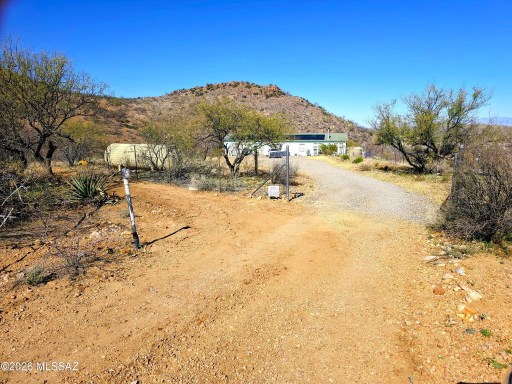
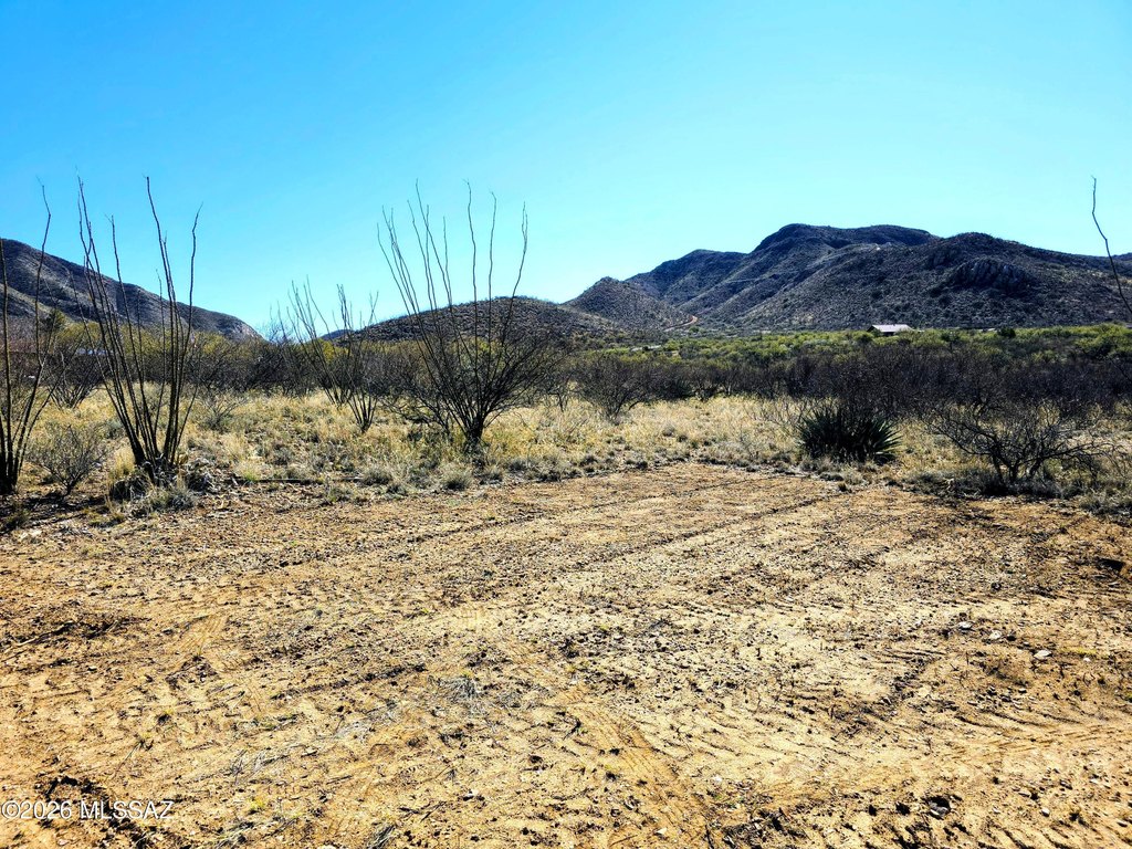
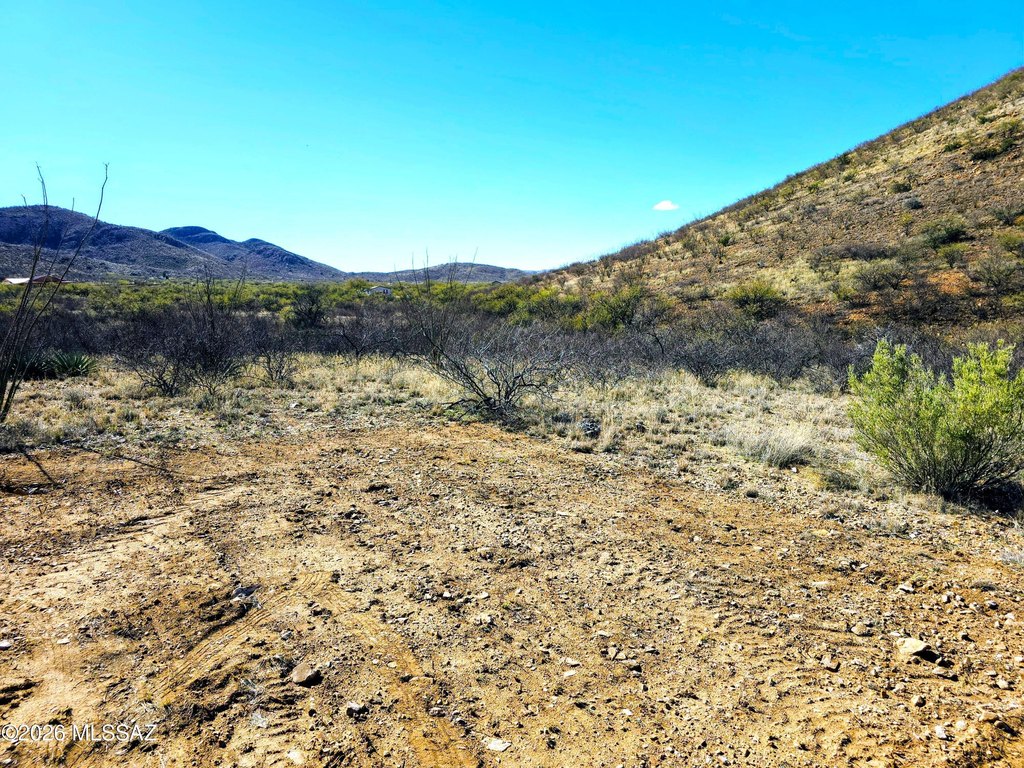
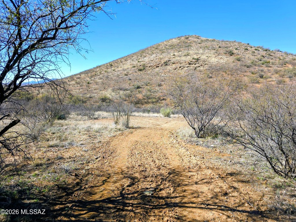
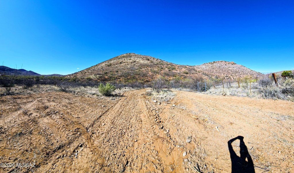
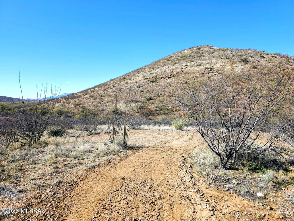
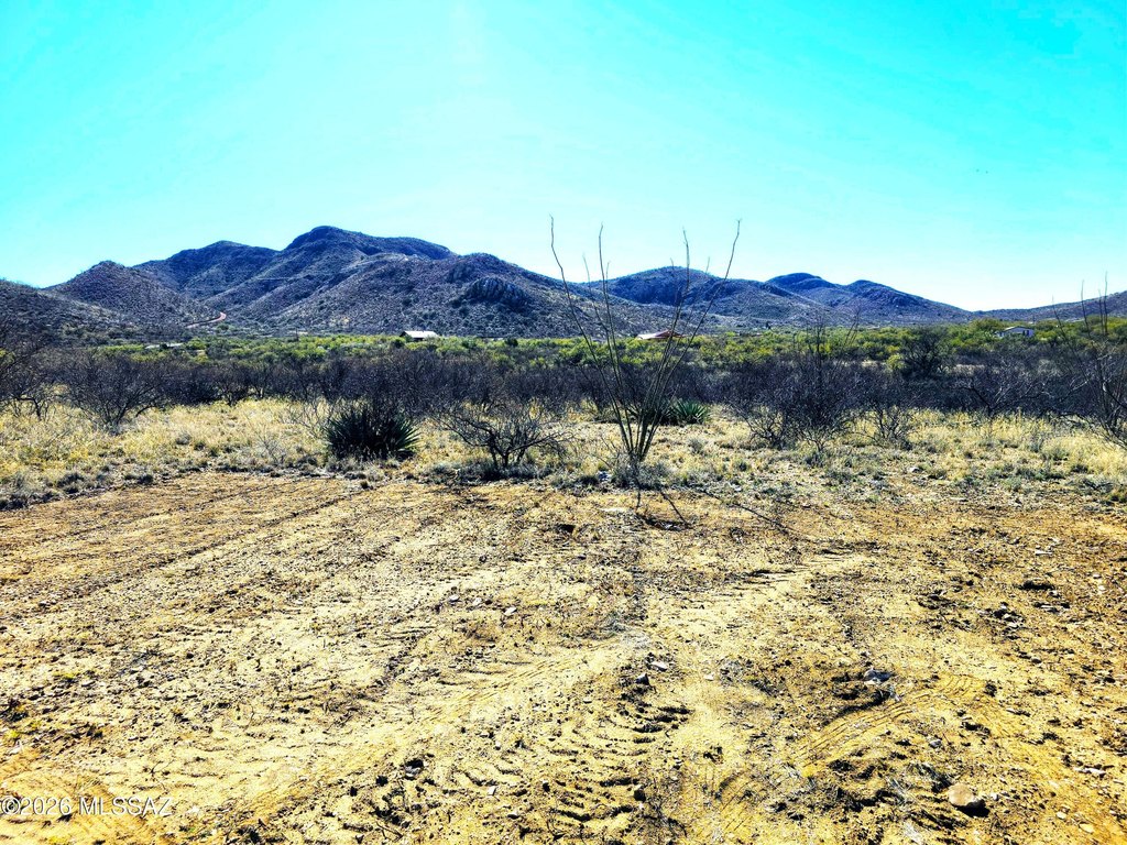
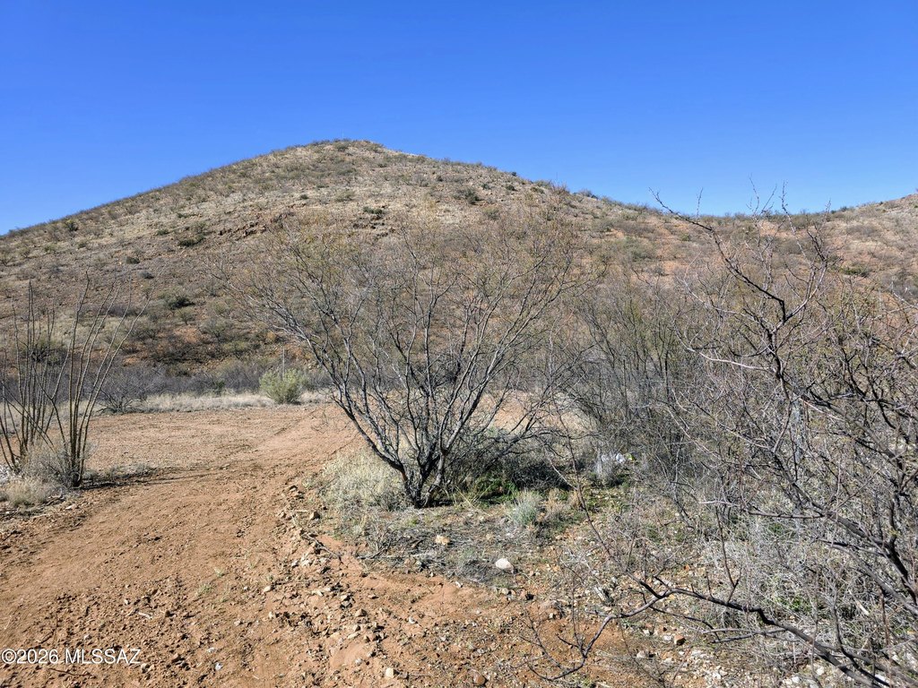
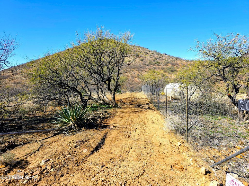
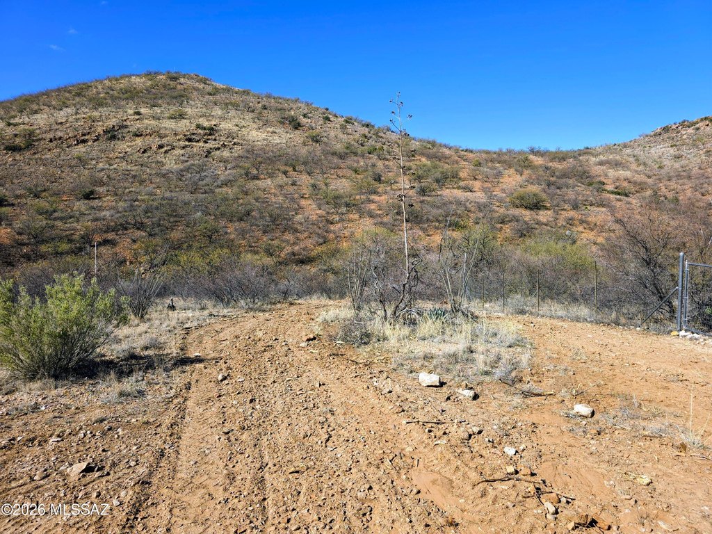
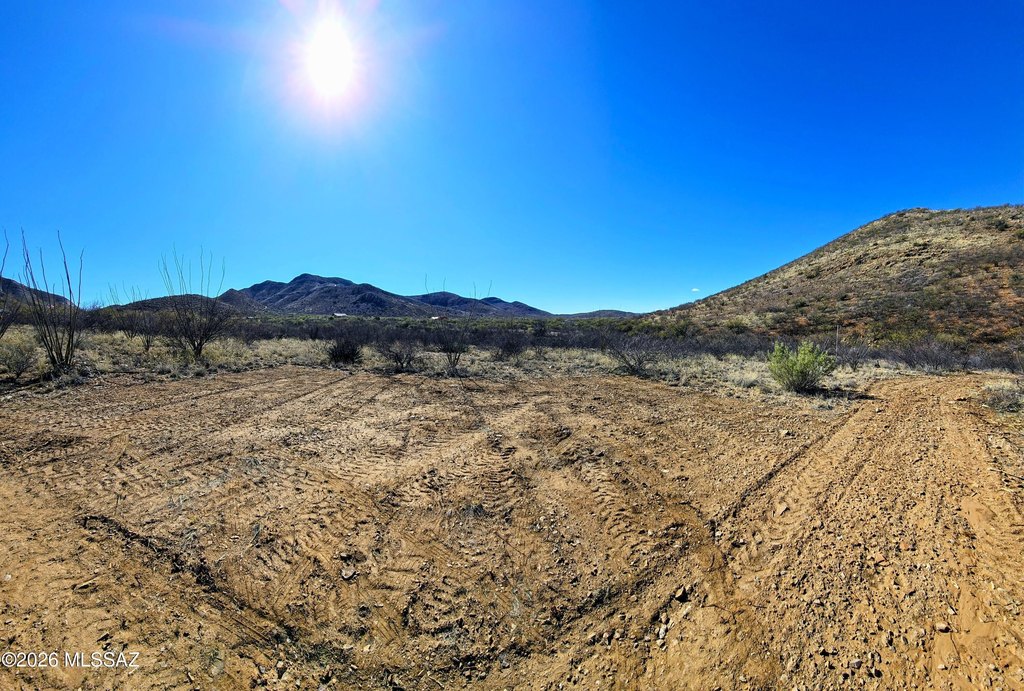
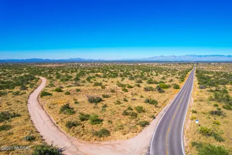
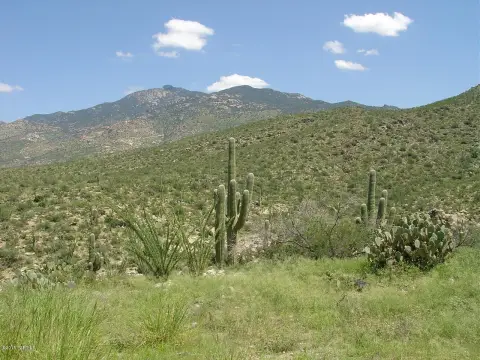
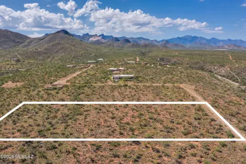
This 1.28-acre land parcel is situated in the foothills of the Santa Rita mountain range. It has access to one well share and electricity approximately 300 feet away. The well is currently cased and capped. The property is located a short distance from the Sonoita Highway and has access via well-maintained roads. The zoning allows for building or moving on a manufactured home. This location offers a quiet, rural environment.
Key Highlights
- 1.28 acres in the Santa Rita mountain foothills
- Access to a shared well (cased and capped)
- Electricity approximately 300 feet away
Property Analytics
Unlock full access to Insights
Subscribe to Realmo Intelligence
Open Analytics
Current Use
Location Intelligence
Trade Area within ½ mile
2
Businesses Nearby
Explore this area
Business Placement
Demographics for 85641, AZ
29,538
Population
11,269
Households
2.6
Avg Household Size
40
Median Age
46%
College-Educated
97%
High-School Grad
343.4 sq mi
ZIP Area
86
Density / Sq Mi
$121,647
Median Household Income
$55,301
Median Earnings
$1,829
Median Rent
$372,500
Median Home Value
Check the figures for this property
Cap Rate, Value Estimation, Potential NOI and more
View Realmo Analytics

Questions? Ask Rey
Realmo’s AI knows this listing — price, zoning, demand, history. Ask anything.





Frequently Asked Questions
What type of property is this?
Land - 1.28 acre land parcel in Vail, Arizona.
Where is this land located?
The property is located at 20405 S Sonoita Highway Vail, AZ.
What is the asking price?
The asking price for this property is $39,900.
What are key features of this property?
This property features: 1.28 acres in the Santa Rita mountain foothills; Access to a shared well (cased and capped); Electricity approximately 300 feet away