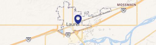
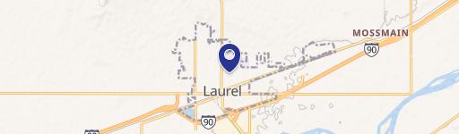
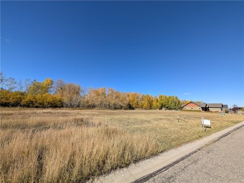
Wold Rd Laurel, MT 59044
Property profile & analytics
Wold Rd, Laurel, MT 59044
- Government properties
- 0.25 lot acres
Property ID
US52-0234456
The Realmo ID is a unique identifier assigned to every property, incorporating country codes and precise geo-coordinates for 300x300-foot land blocks. It enables standardized data collection and seamless integration of disparate sources such as ownership, tax, title data and physical specifications. By aggregating current and historical records, the Realmo ID powers advanced analytics and delivers deep, verifiable insights for real estate professionals.
Location Intelligence
Current Use by Public Records
- Government properties
Property Details for Wold Rd
- Lot size
- 0.25 lot acres
- Property type
- Government properties
- APN
- 03-0821-18-3-09-01-0000
- APU
- 3082118309010000
Sales History
| Date | Price | Buyer | Seller | Deed Type | Mortgage |
|---|---|---|---|---|---|
| Oct 29, 2014 | — | Yellowstone Valley Electric Co | — | Loan Modification · related | $16.2M · Miscellaneous Govt Agcy |
| — | — | Yellowstone Valley Electric Co | — | Loan Modification · related | $17.1M · Cobank |
Value Estimations
based on Realmo’s proprietary methodology
-
AI approach
-
CAP approach
-
Comparable approach
-
Alternative Use
Get a detailed, property-specific estimation — fast and free
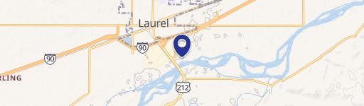
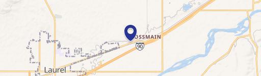
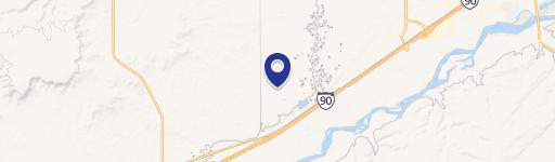
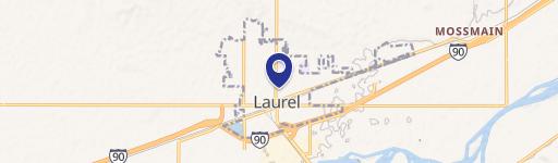
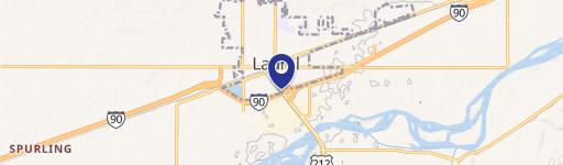
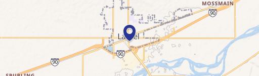
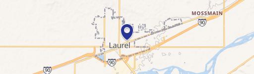
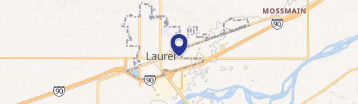
Location Insight
- Map
- Local Demand
- City
- Laurel
- County
- Yellowstone
- State
- Montana
- Longitude
- -108.822
- Latitude
- 45.6576
- CBSA code
- 13740
- CBSA name
- BILLINGS, MT METROPOLITAN STATISTICAL AREA
Property Tax & Assessments
Tax date
Tax Amount
Assessed Land Value
Assessed Improvement Value
Total Assessed Value
Applied Tax Rate
Land Market Value
Improvement Market Value
Total Market Value
2023
$0.00
$0.00
$0.00
$0.00
-
$0.00
$0.00
$0.00