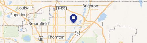
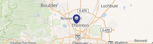
Thornton, CO
Property profile & analytics
, Thornton, CO
- Commercial land
- 1.19 lot acres
Property ID
US13-1610416
The Realmo ID is a unique identifier assigned to every property, incorporating country codes and precise geo-coordinates for 300x300-foot land blocks. It enables standardized data collection and seamless integration of disparate sources such as ownership, tax, title data and physical specifications. By aggregating current and historical records, the Realmo ID powers advanced analytics and delivers deep, verifiable insights for real estate professionals.
Location Intelligence
Current Use by Public Records
- Commercial land
Property Details
- Lot size
- 1.19 lot acres
- Property type
- Commercial land
- APN
- R0170348
- APU
- R0170348
Sales History
| Date | Price | Buyer | Seller | Deed Type | Mortgage |
|---|---|---|---|---|---|
| Sep 1, 2022 | $350,000 | Seth Lawson | Grant Street Properties LLC | Special Warranty Deed | — |
| Sep 26, 2013 | $893,400 | Grant Street Properties LLC | Jatco Properties LLC | Grant Deed | — |
| Nov 20, 2007 | $1,510,000 | Jatco Properties LLC | Rolling Hills Land | Warranty Deed | $357k · Rolling Hills Land Co |
| Sep 27, 2006 | $1,500,000 | Rolling Hills Land Co | 128th Ltd | Grant Deed | — |
| — | — | Jatco Properties LLC | — | Deed Of Trust · related | $1.1M · Rolling Hills Land Co |
Value Estimations
based on Realmo’s proprietary methodology
-
AI approach
-
CAP approach
-
Comparable approach
-
Alternative Use
Get a detailed, property-specific estimation — fast and free
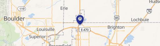
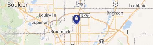
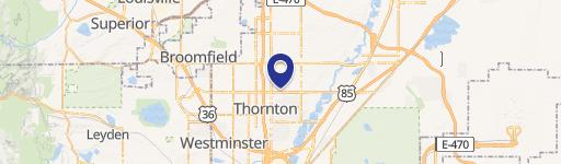
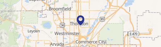
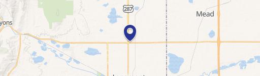
Location Insight
- Map
- Local Demand
- City
- Thornton
- County
- Adams
- State
- Colorado
- Longitude
- -104.984
- Latitude
- 39.9296
- CBSA code
- 19740
- CBSA name
- DENVER-AURORA, CO METROPOLITAN STATISTICAL AREA
Property Tax & Assessments
Tax date
Tax Amount
Assessed Land Value
Assessed Improvement Value
Total Assessed Value
Applied Tax Rate
Land Market Value
Improvement Market Value
Total Market Value
2023
$9,727
$88,290
$0.00
$88,290
-
$316,454
$0.00
$316,454