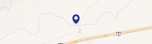
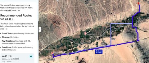
Roll, AZ 85347
Property profile & analytics
, Roll, AZ 85347
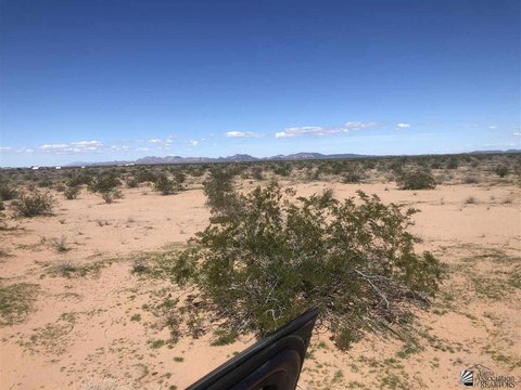
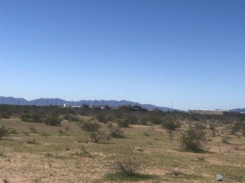
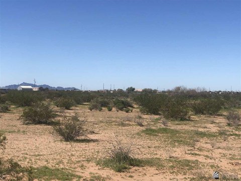
- Industrial properties
- 3,750 SF
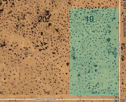
- 22.87 lot acres
Property ID
US07-1846331
The Realmo ID is a unique identifier assigned to every property, incorporating country codes and precise geo-coordinates for 300x300-foot land blocks. It enables standardized data collection and seamless integration of disparate sources such as ownership, tax, title data and physical specifications. By aggregating current and historical records, the Realmo ID powers advanced analytics and delivers deep, verifiable insights for real estate professionals.
Location Intelligence
Current Use by Public Records
- Industrial properties
Property Details
- Year built
- 1980
- Construction
- STEEL FRAME
- Lot size
- 22.87 lot acres
- Zone code
- RA-40
- Property type
- Industrial properties
- Property subtype
- Industrial live-work properties
- APN
- 172-35-002
- APU
- 17235002
Sales History
| Date | Price | Buyer | Seller | Deed Type | Mortgage |
|---|---|---|---|---|---|
| Dec 10, 2025 | — | Mark R Kelland And Marisol A Kellan | Mark Kelland | Warranty Deed | — |
| Apr 8, 2005 | — | Tacna Sand & Gravel LLC | Kelland Investments LLC | Warranty Deed | $100k · Foothills Bank |
| Jan 4, 2001 | $1,500,000 | Dcm Gravel INC | Kelland,don | Grant Deed | — |
| — | — | Tacna Sand & Gravel LLC | — | Deed Of Trust · related | $250k · Foothills Bank |
Value Estimations
based on Realmo’s proprietary methodology
-
AI approach
-
CAP approach
-
Comparable approach
-
Alternative Use
Get a detailed, property-specific estimation — fast and free
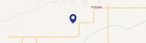
Location Insight
- Map
- Local Demand
- City
- Roll
- County
- Yuma
- State
- Arizona
- Longitude
- -113.982
- Latitude
- 32.7762
- CBSA code
- 49740
- CBSA name
- YUMA, AZ METROPOLITAN STATISTICAL AREA
Property Tax & Assessments
Tax date
Tax Amount
Assessed Land Value
Assessed Improvement Value
Total Assessed Value
Applied Tax Rate
Land Market Value
Improvement Market Value
Total Market Value
2023
$887
$1,570
$4,645
$6,215
-
$12,579
$37,221
$49,800