Quarry Rd Pounding Mill, VA 24637
Property profile & analytics
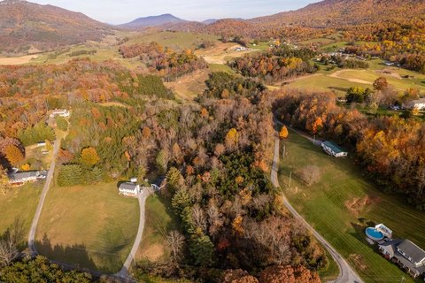
Quarry Rd, Pounding Mill, VA 24637
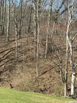
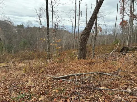
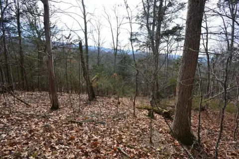
- Commercial land
- 180 SF
- 8.00 lot acres
Property ID
US87-2224564
The Realmo ID is a unique identifier assigned to every property, incorporating country codes and precise geo-coordinates for 300x300-foot land blocks. It enables standardized data collection and seamless integration of disparate sources such as ownership, tax, title data and physical specifications. By aggregating current and historical records, the Realmo ID powers advanced analytics and delivers deep, verifiable insights for real estate professionals.
Location Intelligence
Current Use by Public Records
- Commercial land
Property Details for Quarry Rd
- Lot size
- 8.00 lot acres
- Property type
- Commercial land
- APN
- 126 A 0021
- APU
- 126A0021
Sales History
| Date | Price | Buyer | Seller | Deed Type | Mortgage |
|---|---|---|---|---|---|
| Apr 15, 2019 | $285,000 | M Hunter V Charles | William Adams Gillespie JR | Deed | — |
| Dec 12, 2013 | — | Gillespie Farms Of The Cove LLC | William A Gillespie SR. | Intrafamily Transfer · related | — |
Value Estimations
based on Realmo’s proprietary methodology
-
AI approach
-
CAP approach
-
Comparable approach
-
Alternative Use
Get a detailed, property-specific estimation — fast and free
Location Insight
- Map
- Local Demand
- City
- Pounding Mill
- County
- Tazewell
- State
- Virginia
- Longitude
- -81.7039
- Latitude
- 37.0738
- CBSA code
- 14140
- CBSA name
- BLUEFIELD, WV-VA MICROPOLITAN STATISTICAL AREA
Property Tax & Assessments
Tax date
Tax Amount
Assessed Land Value
Assessed Improvement Value
Total Assessed Value
Applied Tax Rate
Land Market Value
Improvement Market Value
Total Market Value
2019
$740
$127,500
$0.00
$127,500
-
$127,500
$0.00
$127,500