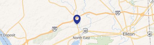
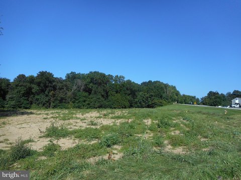
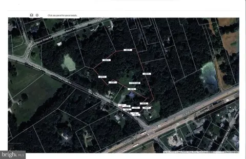
Pulaski Hwy North East, MD 21901
Property profile & analytics
Pulaski Hwy, North East, MD 21901
- Industrial properties
- 4.44 lot acres
Property ID
US40-1773854
The Realmo ID is a unique identifier assigned to every property, incorporating country codes and precise geo-coordinates for 300x300-foot land blocks. It enables standardized data collection and seamless integration of disparate sources such as ownership, tax, title data and physical specifications. By aggregating current and historical records, the Realmo ID powers advanced analytics and delivers deep, verifiable insights for real estate professionals.
Location Intelligence
Current Use by Public Records
- Industrial properties
Property Details for Pulaski Hwy
- Lot size
- 4.44 lot acres
- Zone code
- M1
- Property type
- Industrial properties
- APN
- 05-090024
- APU
- 5090024
Sales History
| Date | Price | Buyer | Seller | Deed Type | Mortgage |
|---|---|---|---|---|---|
| May 29, 2020 | — | Red Toad Land Company LLC | — | Deed · related | $100k · Wilmington Savings Fund Society Fsb |
| Feb 14, 2002 | — | Red Toad Land Co LLC | Hodge,robert J | Grant Deed | $175k · Peoples Bank Of Elkton |
| — | — | Red Toad Land Co LLC | — | Deed Of Trust · related | $275k · Peoples Bank Of Elkton |
Value Estimations
based on Realmo’s proprietary methodology
-
AI approach
-
CAP approach
-
Comparable approach
-
Alternative Use
Get a detailed, property-specific estimation — fast and free
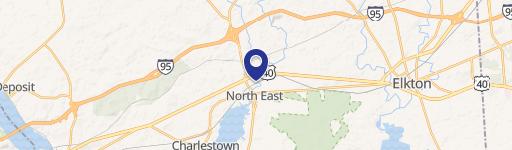
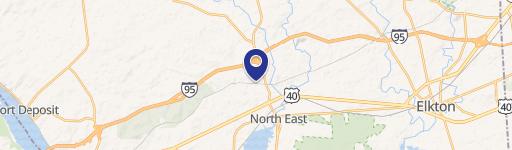
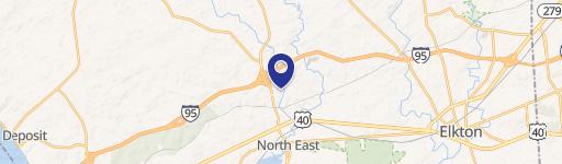
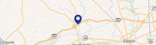
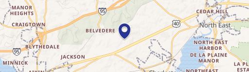
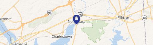
Location Insight
- Map
- Local Demand
- City
- North East
- County
- Cecil
- State
- Maryland
- Longitude
- -75.973
- Latitude
- 39.6
- CBSA code
- 37980
- CBSA name
- PHILADELPHIA-CAMDEN-WILMINGTON, PA-NJ-DE-MD METROPOLITAN STATISTICAL AREA
Property Tax & Assessments
Tax date
Tax Amount
Assessed Land Value
Assessed Improvement Value
Total Assessed Value
Applied Tax Rate
Land Market Value
Improvement Market Value
Total Market Value
2023
$630
$57,000
$0.00
$57,000
-
$57,000
$0.00
$57,000