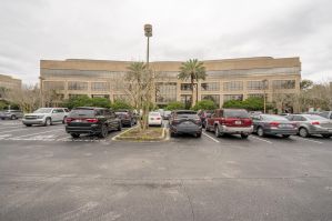
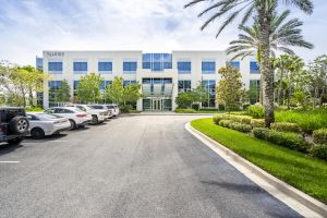
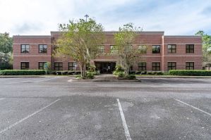
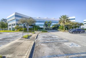
Philips Hwy Jacksonville, FL 32256
or other districts shall apply to those portions of a Planned Unit Development (PUD) which are devoted to uses permitted in these respective districts, unless specifically provided otherwise in the written description of the intended plan of development. (Ord. 91-59-148, § 1; Ord. 91-761-410, § 1; Ord. 2008-969-E, § 1; Ord. 2014-279-E,
Cap rate
Implied · in-place · derived from last sale + estimated NOIValue
AI, CAP & Alternative Use estimations · Realmo proprietary blendProperty tax & assessments
Tax year 2023Comparables
6 recent transactions · within 1.5 miComparable in this City


Similar Nearby for Sale


Similar Nearby for Lease


Property description
Physical attributes from public recordsZoning & alternative use
PUD · Jacksonville, FLor other districts shall apply to those portions of a Planned Unit Development (PUD) which are devoted to uses permitted in these respective districts, unless specifically provided otherwise in the written description of the intended plan of development. (Ord. 91-59-148, § 1; Ord. 91-761-410, § 1; Ord. 2008-969-E, § 1; Ord. 2014-279-E,
No recorded transactions found for this property.
Costs & Benchmarks
Operating expenses, capex projections, utility benchmarks, and submarket comparables — all in one view.
Risks
Flood, climate, environmental, title, and tenant-concentration risk — surfaced with mitigations and source citations.


