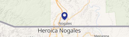
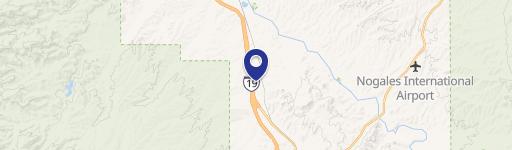
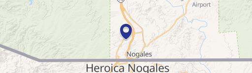
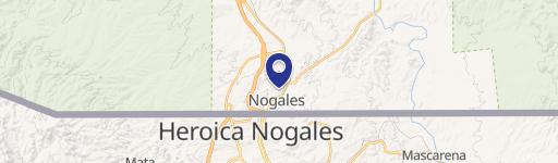
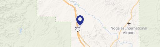
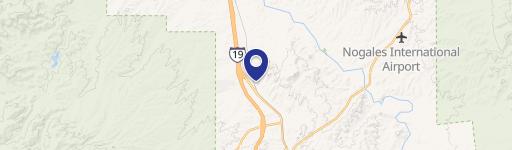
Paul Bond Dr Nogales, AZ 85628
Property profile & analytics
Paul Bond Dr, Nogales, AZ 85628
- Commercial land
- 1.31 lot acres
Property ID
US07-2277357
The Realmo ID is a unique identifier assigned to every property, incorporating country codes and precise geo-coordinates for 300x300-foot land blocks. It enables standardized data collection and seamless integration of disparate sources such as ownership, tax, title data and physical specifications. By aggregating current and historical records, the Realmo ID powers advanced analytics and delivers deep, verifiable insights for real estate professionals.
Location Intelligence
Current Use by Public Records
- Commercial land
Property Details for Paul Bond Dr
- Lot size
- 1.31 lot acres
- Property type
- Commercial land
- APN
- 102-03-002K
- APU
- 10203002K
Sales History
| Date | Price | Buyer | Seller | Deed Type | Mortgage |
|---|---|---|---|---|---|
| Feb 20, 2024 | — | Delta Properties LLP | Ma Thena Properties LLP | Intrafamily Transfer · related | — |
| Dec 30, 2009 | $250,000 | Ma-thena Properties LLP | Rivas Construction Co | Warranty Deed | — |
| Apr 3, 2000 | $325,000 | Edward Stadnik | Rival Construction Co | Grant Deed | $260k · Seller |
| May 29, 1997 | — | Rivas Construction Co | Rivas,richard & Annette | Quit Claim Deed · related | $225k · Arizona Bank |
| — | — | Monge INC | — | Deed Of Trust · related | $50k · Ocie & Norma A Wilson |
Value Estimations
based on Realmo’s proprietary methodology
-
AI approach
-
CAP approach
-
Comparable approach
-
Alternative Use
Get a detailed, property-specific estimation — fast and free
Location Insight
- Map
- Local Demand
- City
- Nogales
- County
- Santa Cruz
- State
- Arizona
- Longitude
- -110.951
- Latitude
- 31.3648
- CBSA code
- 35700
- CBSA name
- NOGALES, AZ MICROPOLITAN STATISTICAL AREA
Property Tax & Assessments
Tax date
Tax Amount
Assessed Land Value
Assessed Improvement Value
Total Assessed Value
Applied Tax Rate
Land Market Value
Improvement Market Value
Total Market Value
0
$0.00
$12,839
$0.00
$12,839
-
$85,595
$0.00
$85,595