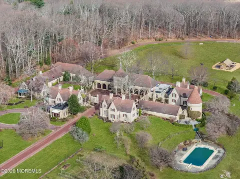
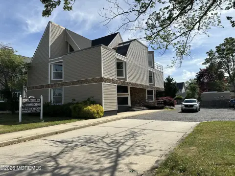
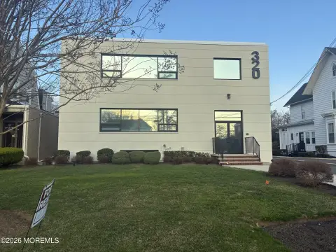
Navesink Riv Rd Red Bank, NJ 07701
Property profile & analytics
Navesink Riv Rd, Red Bank, NJ 07701
- Commercial real estate
- 18,021 SF
- 67.50 lot acres
Property ID
US59-2315644
The Realmo ID is a unique identifier assigned to every property, incorporating country codes and precise geo-coordinates for 300x300-foot land blocks. It enables standardized data collection and seamless integration of disparate sources such as ownership, tax, title data and physical specifications. By aggregating current and historical records, the Realmo ID powers advanced analytics and delivers deep, verifiable insights for real estate professionals.
Location Intelligence
Current Use by Public Records
- Commercial real estate
Property Details for Navesink Riv Rd
- Year built
- 1973
- Construction
- FRAME
- Lot size
- 67.50 lot acres
- Zone code
- R110
- Property type
- Commercial real estate
- APN
- 32 00983-0000-00004
- APU
- 3200983000000004
Sales History
| Date | Price | Buyer | Seller | Deed Type | Mortgage |
|---|---|---|---|---|---|
| Jun 10, 2019 | — | Navesink Country Club INC | — | Grant Deed · related | $1.5M · Oceanfirst Bk |
| Oct 24, 2016 | — | Jersey Ctrl Power & Light Co | Navesink Country Club INC | Grant Deed · related | — |
| Sep 21, 2012 | — | Navesink Country Club INC | Navesink Country Club INC | Quit Claim Deed · related | — |
| — | — | Navesink Country Club INC | — | Deed Of Trust · related | $9.4M · Oceanfirst Bk |
Value Estimations
based on Realmo’s proprietary methodology
-
CAP approach
- CAP Return
- Estimation
- 6%
- $4,055,000
- 6.5%
- $3,745,000
- 7%
- $3,475,000
-
Comparable approach
- Method
- Estimation
- AI Estimate
- $4,167,000
Market price range: $1.24M - $4.17M -
Alternative Use
- Use
- Estimation
- COMMERCIAL (GENERAL)
- $5,360,000 Current use
- APARTMENT HOUSE (5+ UNITS)
- $4,765,000 Change: -11% Conversion: Moderate
- OFFICE BUILDING
- $4,445,000 Change: -17% Conversion: Easy
Get a detailed, property-specific estimation — fast and free
Location Insight
- Map
- Local Demand
- City
- Red Bank
- County
- Monmouth
- State
- New Jersey
- Longitude
- -74.0656
- Latitude
- 40.3723
- CBSA code
- 35620
- CBSA name
- NEW YORK-NORTHERN NEW JERSEY-LONG ISLAND, NY-NJ-PA METROPOLITAN STATISTICAL AREA
Property Tax & Assessments
Tax date
Tax Amount
Assessed Land Value
Assessed Improvement Value
Total Assessed Value
Applied Tax Rate
Land Market Value
Improvement Market Value
Total Market Value
2022
$159,202
$7,450,100
$1,117,200
$8,567,300
-
$7,450,100
$1,117,200
$8,567,300