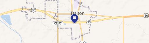
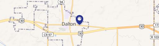
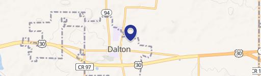
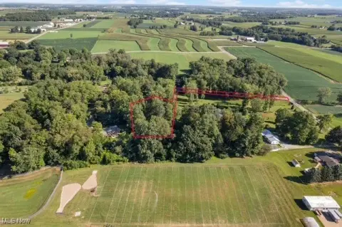
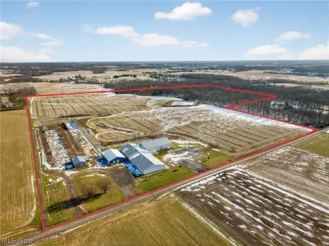
Mast Rd Dalton, OH 44618
Property profile & analytics
Mast Rd, Dalton, OH 44618
- Industrial land
- 1.35 lot acres
Property ID
US66-3658769
The Realmo ID is a unique identifier assigned to every property, incorporating country codes and precise geo-coordinates for 300x300-foot land blocks. It enables standardized data collection and seamless integration of disparate sources such as ownership, tax, title data and physical specifications. By aggregating current and historical records, the Realmo ID powers advanced analytics and delivers deep, verifiable insights for real estate professionals.
Location Intelligence
Current Use by Public Records
- Industrial land
Property Details for Mast Rd
- Lot size
- 1.35 lot acres
- Property type
- Industrial land
- APN
- 50-00538-000
- APU
- 5000538000
Sales History
| Date | Price | Buyer | Seller | Deed Type | Mortgage |
|---|---|---|---|---|---|
| Nov 15, 2024 | — | 630 Henry St LLC | Toop LLC | Warranty Deed | — |
| Jun 2, 2021 | — | Toop LLC | — | Deed · related | $750k · Westfield Bank Fsb |
| Jan 11, 2008 | $90,000 | Toop LLC | Grim,gene G | Grant Deed | — |
Value Estimations
based on Realmo’s proprietary methodology
-
AI approach
-
CAP approach
-
Comparable approach
-
Alternative Use
Get a detailed, property-specific estimation — fast and free
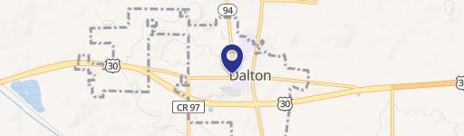
Location Insight
- Map
- Local Demand
- City
- Dalton
- County
- Wayne
- State
- Ohio
- Longitude
- -81.6968
- Latitude
- 40.794
- CBSA code
- 49300
- CBSA name
- WOOSTER, OH MICROPOLITAN STATISTICAL AREA
Property Tax & Assessments
Tax date
Tax Amount
Assessed Land Value
Assessed Improvement Value
Total Assessed Value
Applied Tax Rate
Land Market Value
Improvement Market Value
Total Market Value
2023
$510
$10,400
$0.00
$10,400
-
$29,700
$0.00
$29,700